Flying photos from December 29, 2002 - Near Atlanta, GA. Page 2
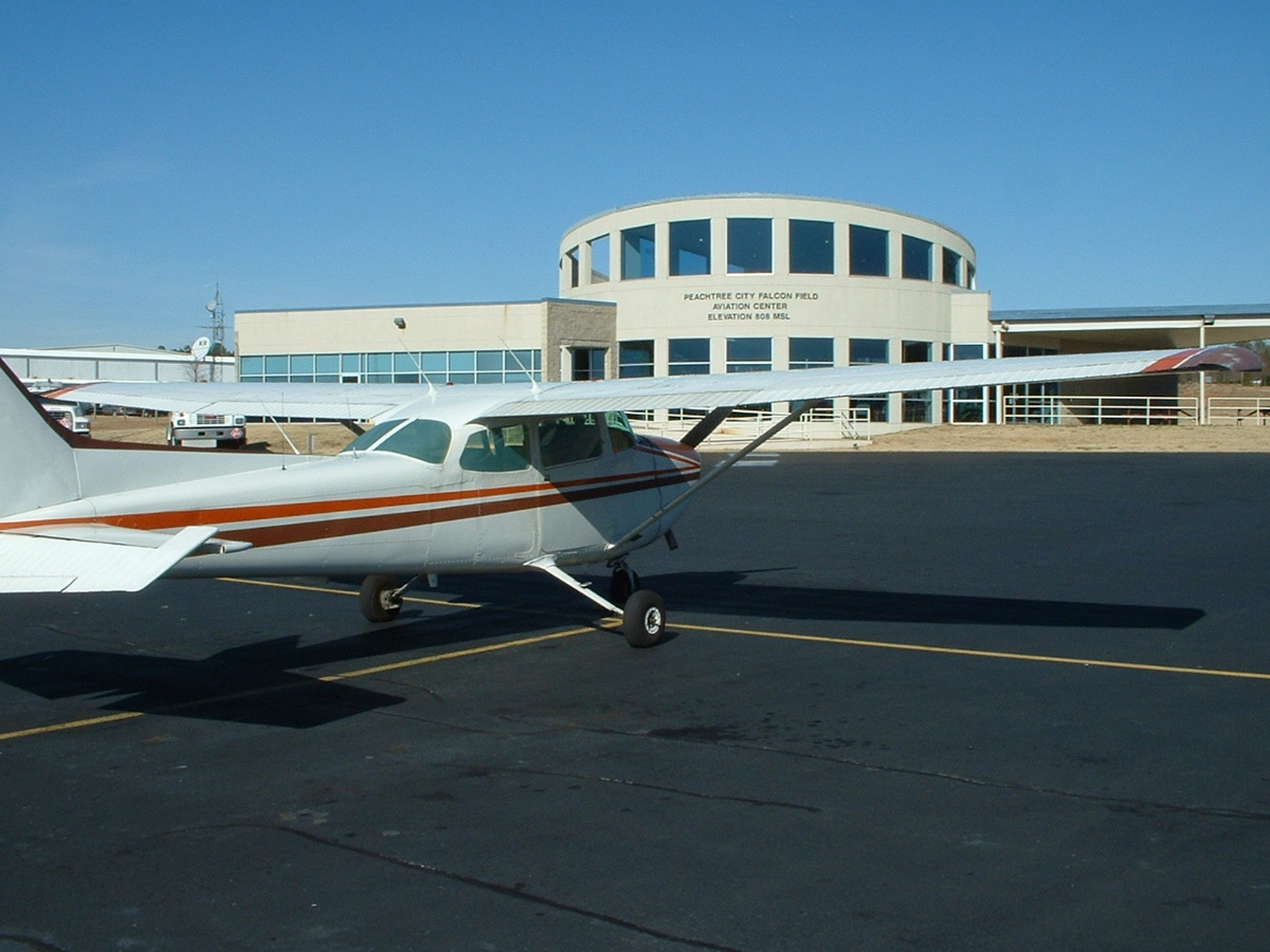
My rented steed for the day from 3M3 to KFFC is N5432E, an older Cessna 172
with a full IFR panel to play with. The N-number is the 3-inch high variety, just
out of the photo on the tail. ![]() March 1, 2003: Aerial
photos reprocessed for better contrast. November 19,
2022: Size and resolution changes as I work on many pages of this
web site.
March 1, 2003: Aerial
photos reprocessed for better contrast. November 19,
2022: Size and resolution changes as I work on many pages of this
web site.
That's downtown Atlanta out there in the distance (straight off the wing tip)
as I head back north to Collegedale, Tennessee. I wanted to try out various zoom
levels on the digital camera and see the results. I took this one from about 3000
MSL, approximately 15 DME SW of ATL airport, which shows up as the "white
streak" near the horizon at the right side of the picture. 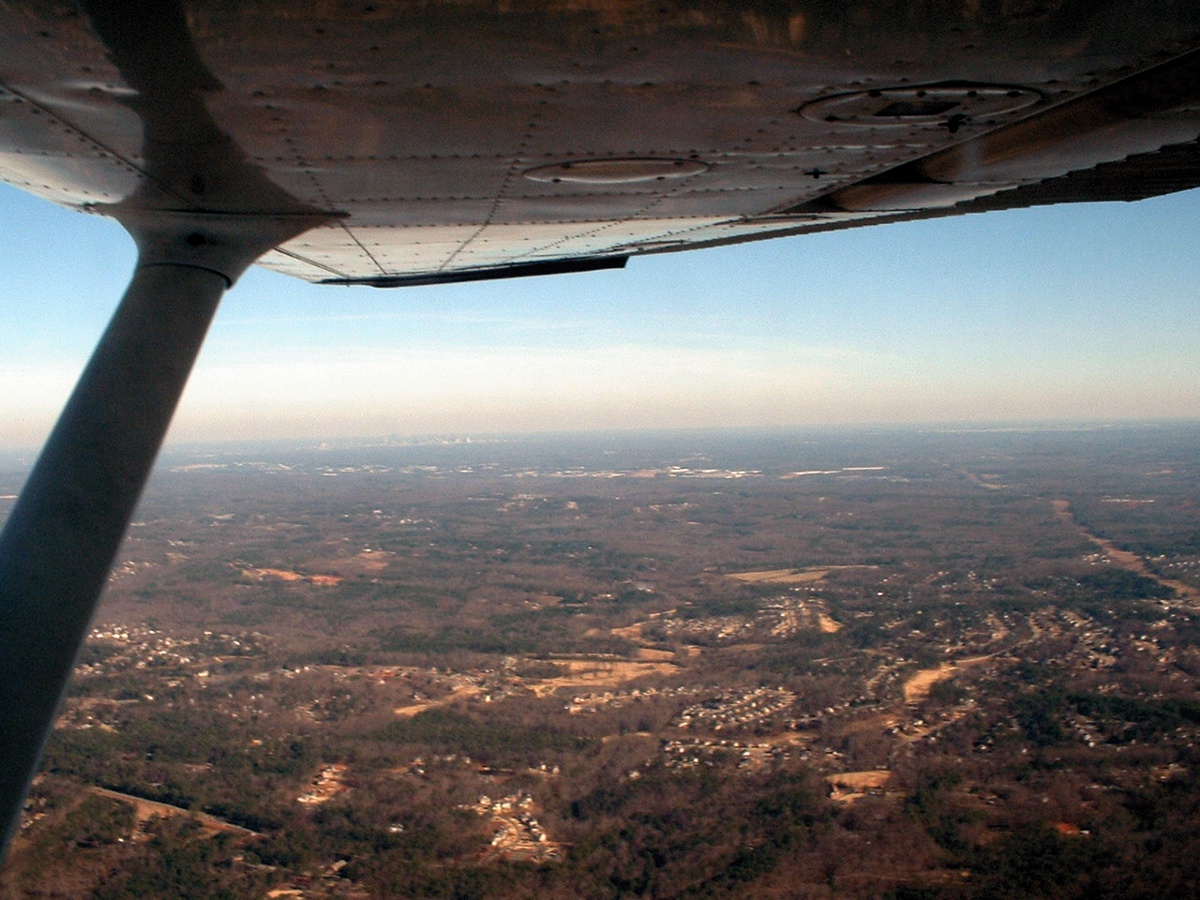
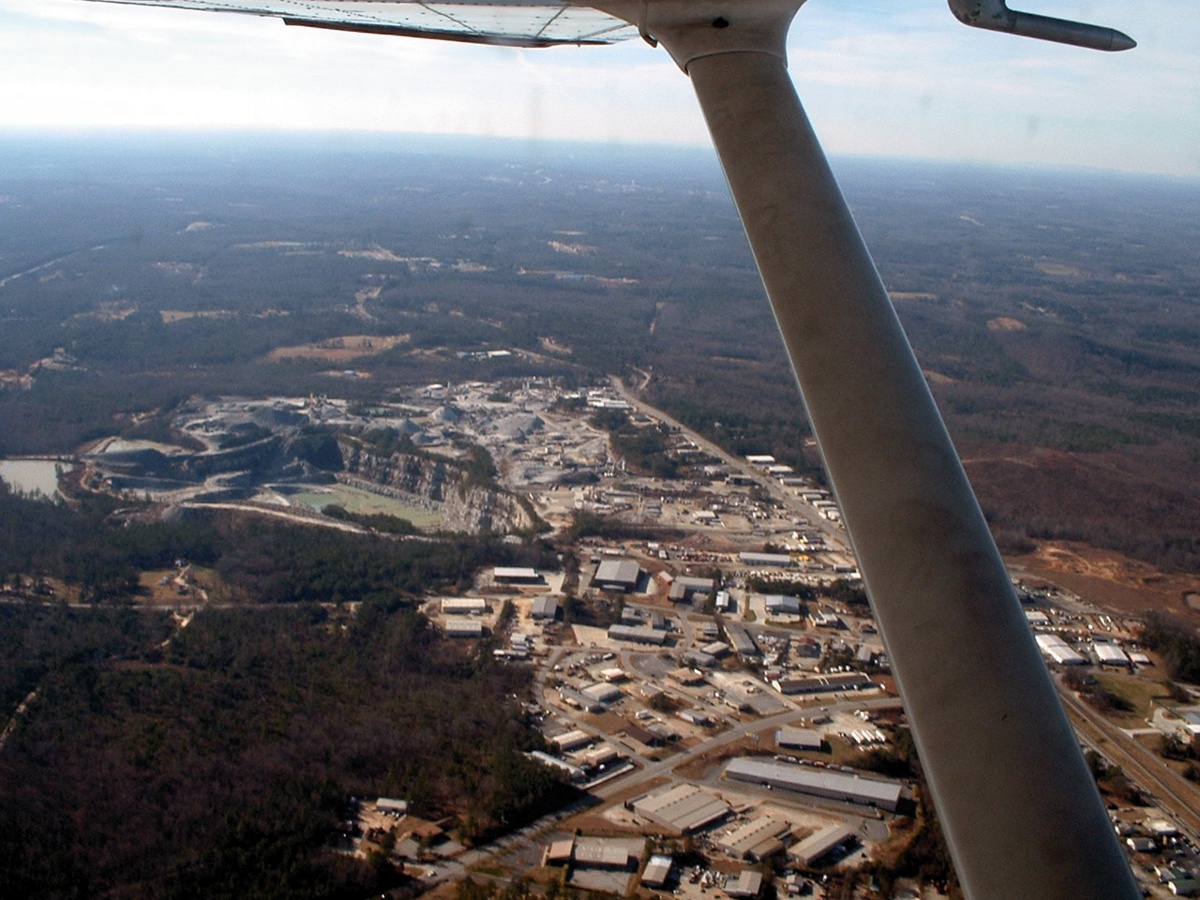
Below is a rock quarry west of Atlanta, near Douglasville, GA - still flying at 3000 MSL below Atlanta Class B airspace. The ground elevation here is in the 900 to 1000 MSL range.