Flying photos from December 29, 2002 - Near Atlanta, GA. -- Page 3
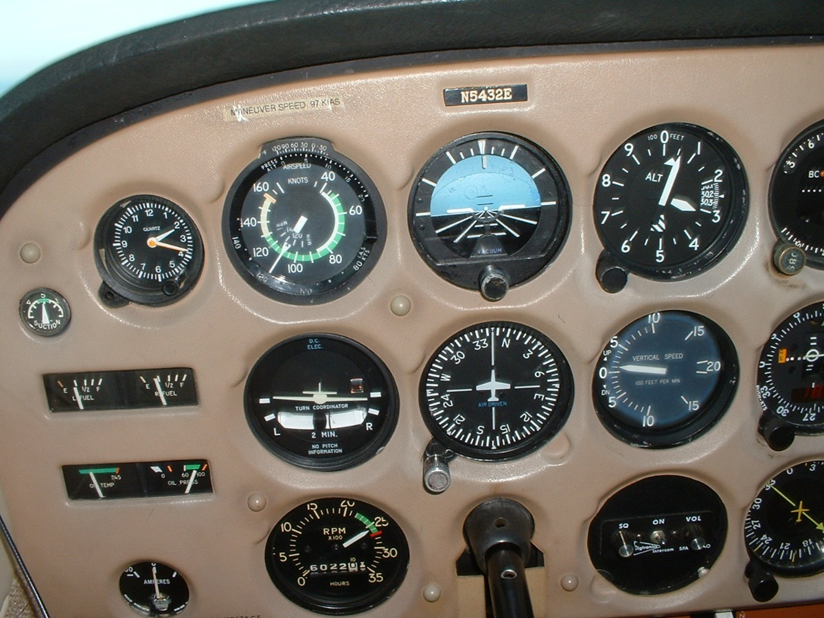
Here is a macro shot of the panel under the Atlanta CLASS B airspace near
Douglasville, GA. The camera flash activated for this shot. ![]() March
1, 2003: Aerial photos reprocessed for better contrast.
March
1, 2003: Aerial photos reprocessed for better contrast.
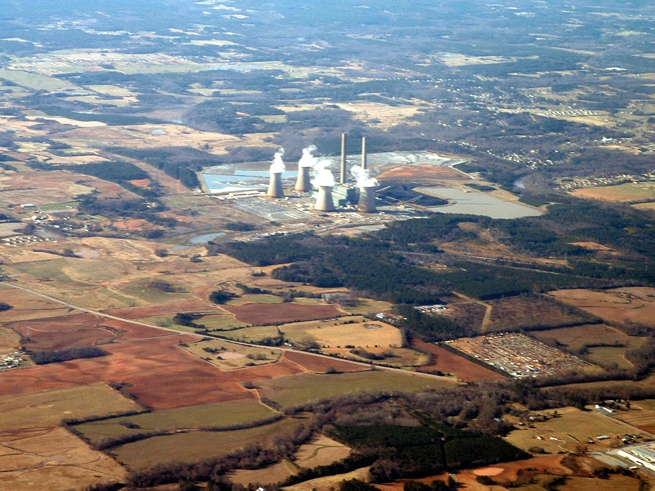
Below is a Georgia Power Company generating plant between Atlanta and Rome, GA - not far from Cartersville, GA. This photo is taken from 6,500 feet cruising in Smooth air, looking west of my northbound ground track.
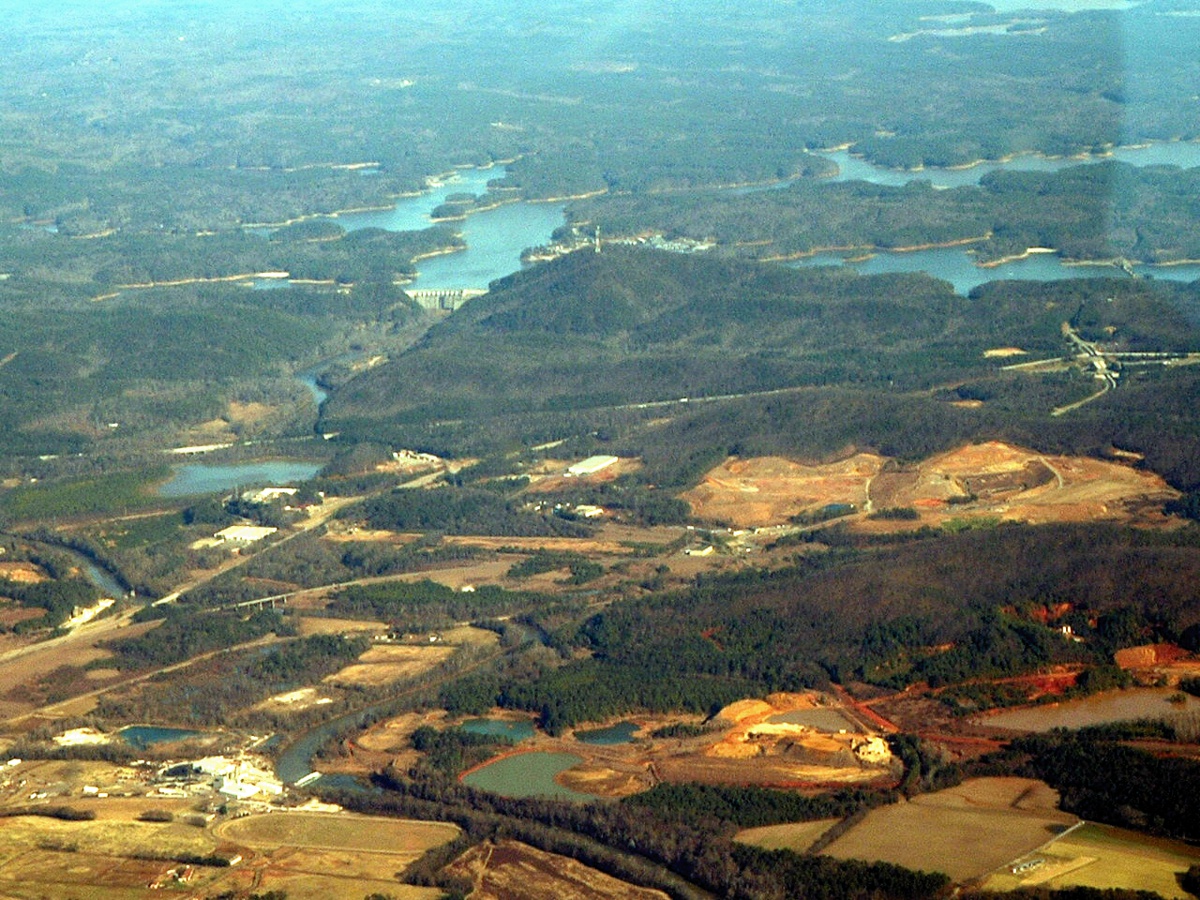
Looking EAST out the right side with the zoom lens working, you can see Lake Alatoona and dam just East of Cartersville, GA. Interstate 75 is running across the middle of the picture. There is some reflected light from the left window seen at the right side of this image.
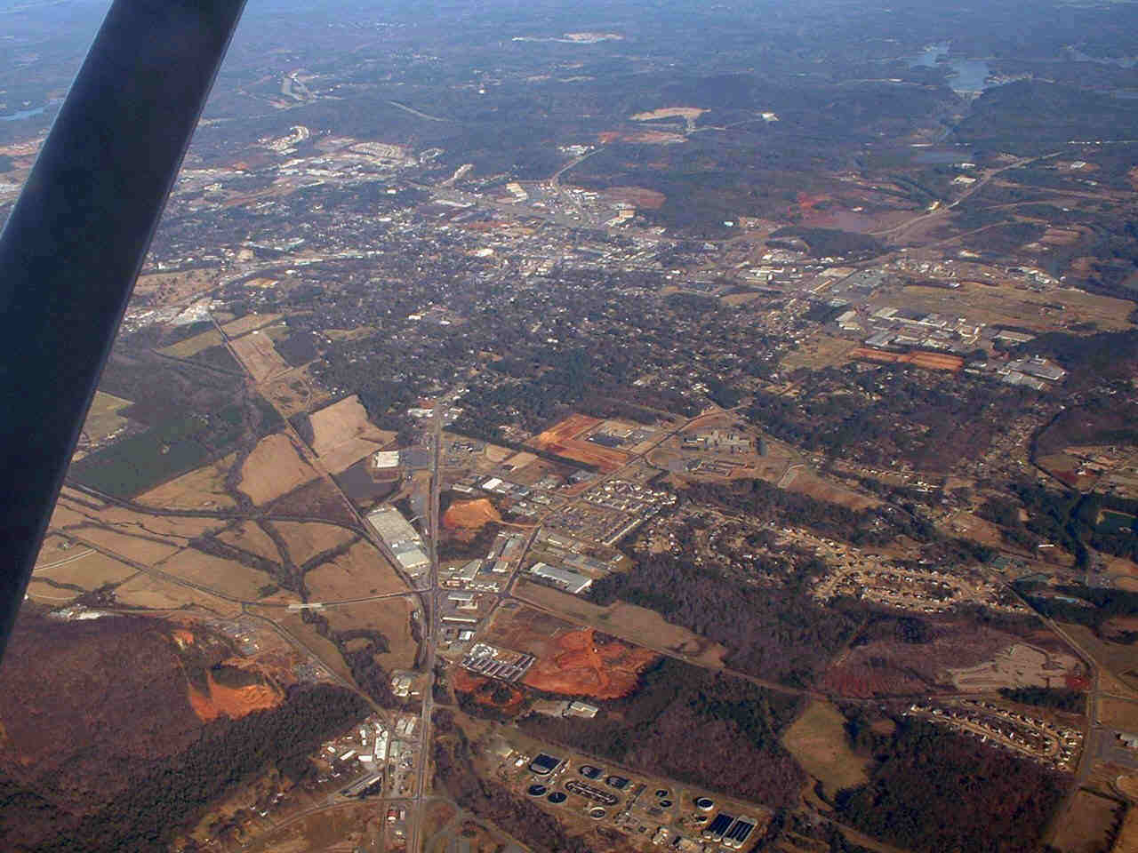
And of course, in the photo below is the town of Cartersville with Interstate 75 going north and south between the city and Lake
Alatoona near the top right corner of the photo.
Since I was flying alone, I did not take any pictures on approach to Collegedale. When I got there, and called my pattern turn to final, some guy was back-taxiing on the runway without an announcement -- forcing me to do a go-around. But, then that is what flying is all about, good judgment and risk management. And if you wonder how I could miss not seeing that guy when I was in the downwind leg, Collegedale airport sits in between two close ridges and the runway is sometimes NOT visible when you are 1/2 mile off to either side. Those ridges make for interesting turbulence when the wind is blowing from the northwest. The runway alignment is 3 and 21 at Collegedale.