Wendell's Aeronca Champ Heading to Amarillo - - Page 3.
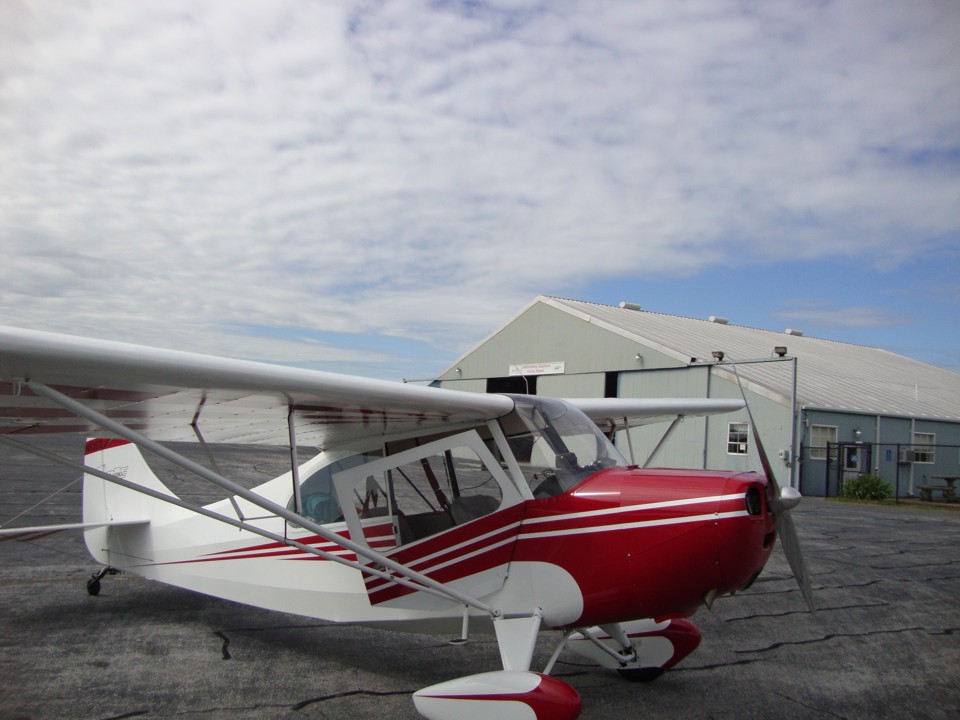
May 7, 2013: The Champ is parked on the ramp
at Lawrence County Airport (2M2) at 10:32
AM. As always, the comfort stop comes first and a visit with the folks in the FBO to
be social. The fuel pump is just out of this photo to the right.
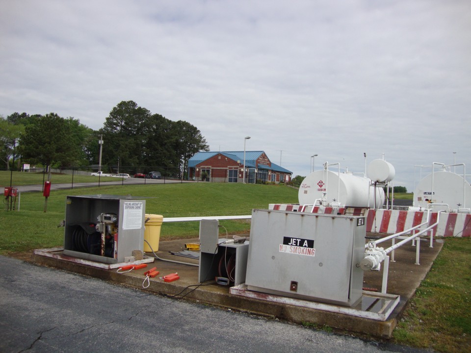
The other reason for the stop is get fuel. The Champ is slow and has
small fuel tanks. Wendell is only using the tank ahead of the cabin and not using
the overhead tank above. The AVGAS pump is in the box on the left near the yellow
garbage can. This photo was taken at 10:55 AM. The new FBO and airport office
with the BLUE roof is in the background of this photo.
The guys are back in the air at 11:13 AM with this photo showing the town of
Lawrenceburg, Tennessee a few minutes after departing the airport located about four miles
to the East of town. US 43 is the north/south route through town with US 64 as the
east/west route. Terry is up front flying this leg of the trip and Wendell is taking
this photo from the back seat as the trip west continues.

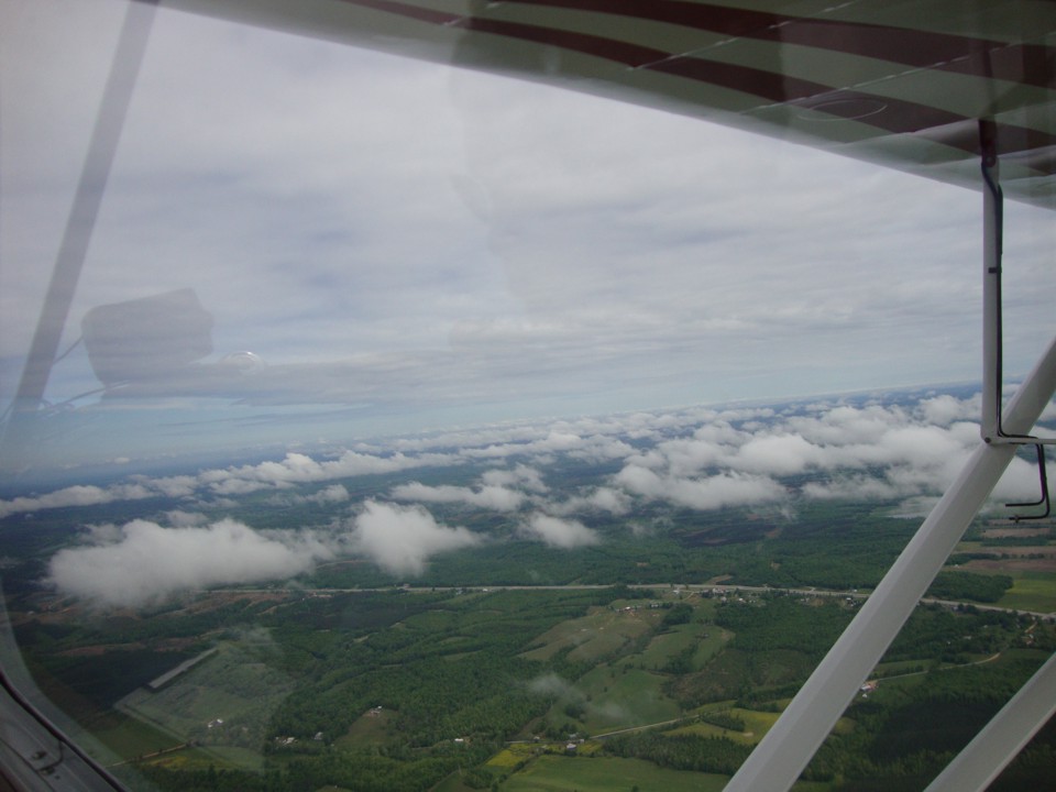
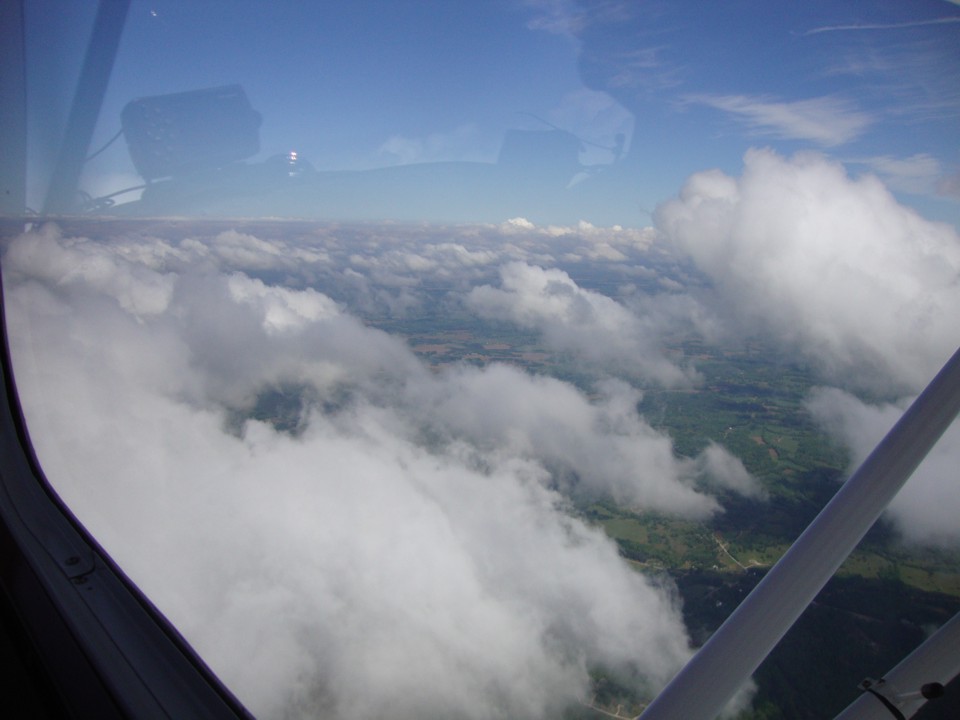
Wendell took this photo at 11:24 AM as they climb above the first scattered
layer of clouds. The parallel road below is US 64. The next stop is Covington
Municipal Airport near Covington, Tennessee about 134 miles west from the Lawrenceburg
Airport.
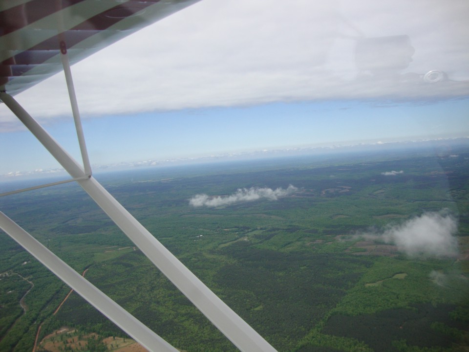
Here is the view to the south. There is a weather front above them to the
south. That is why the solid overcast ends just out there a few miles south of their
current location.
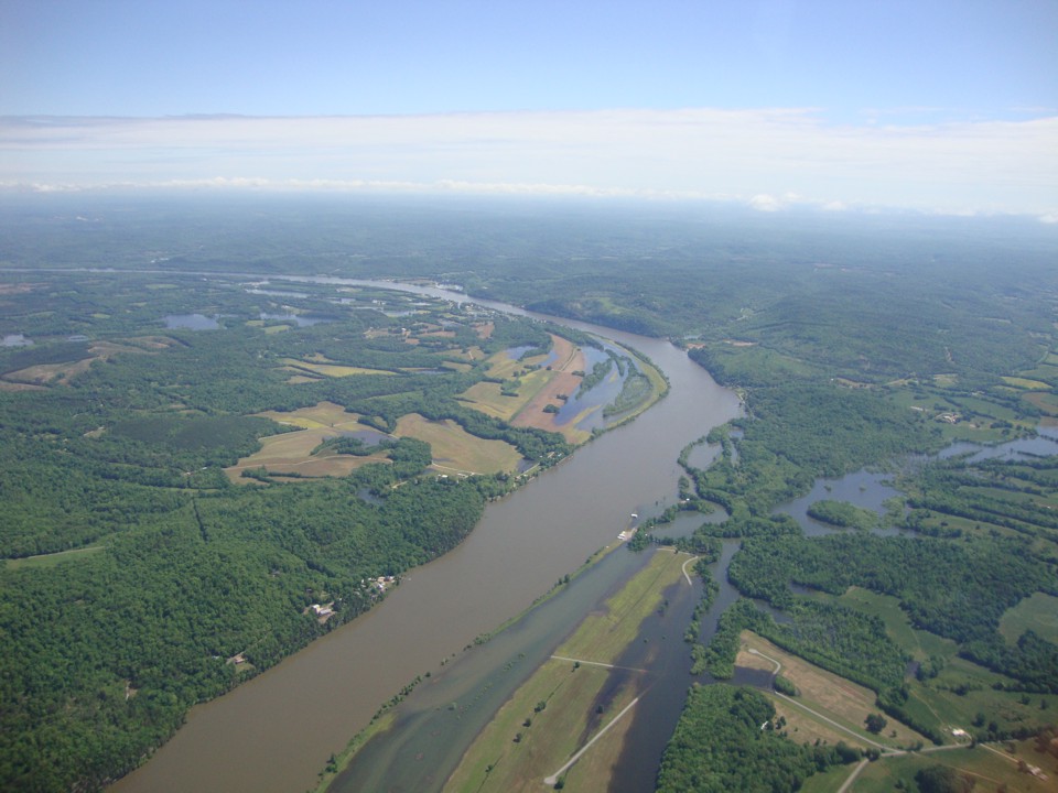
That is the Tennessee River below winding its way north toward Kentucky and the
Ohio River. Wendell snapped this photo and the next two at 11:42 AM Eastern Time.
This is a major bend in the river. That island shaped like the letter D is
also in the river downstream from the location directly under the airplane. The view
is looking southwest.
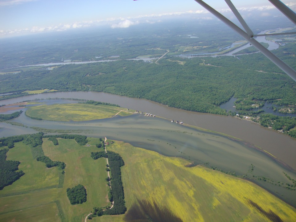
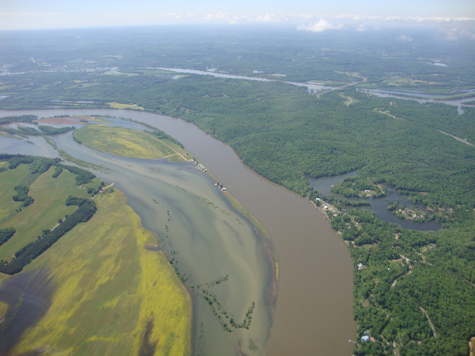
You can see recent rains have flooded some low areas near the river in this
view looking NNE from the bend in the river on the other side of the airplane. At
this point, the Tennessee River is flowing northward to the Ohio River. Ultimately
the waters from the Ohio and Tennessee Rivers join the Mississippi River near Cairo,
Illinois and flow south to the Gulf of Mexico southeast of New Orleans, Louisiana.
You can look at this place along the Tennessee River using Google Earth at 35
degrees 28.250 minutes north latitude and 88 degrees 1.0 minutes west longitude.
This location is about 46 miles from the Lawrenceburg Airport.
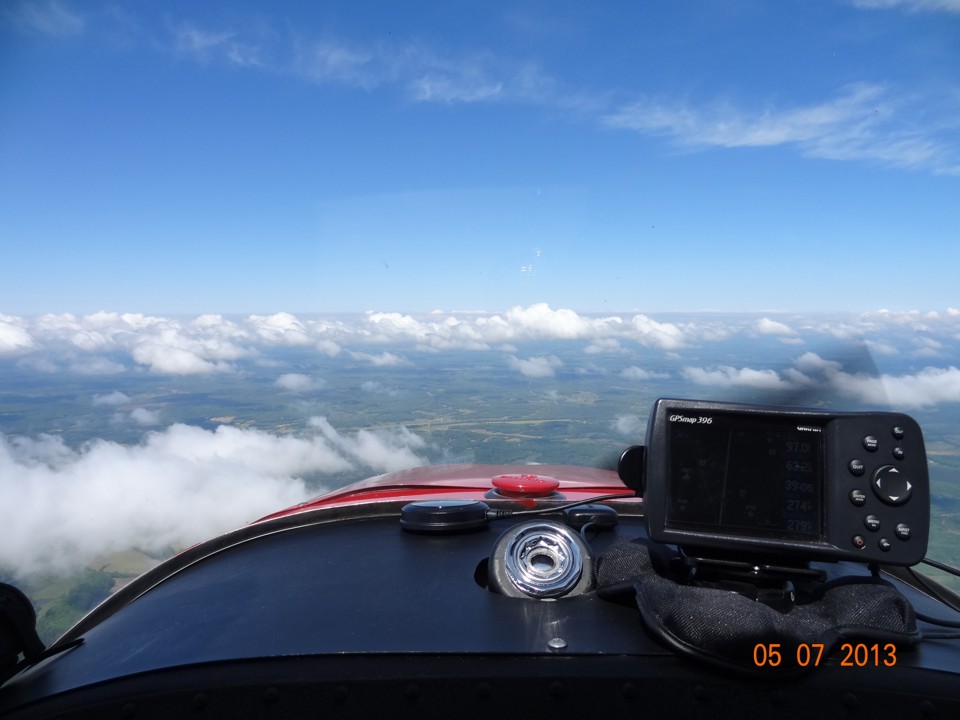
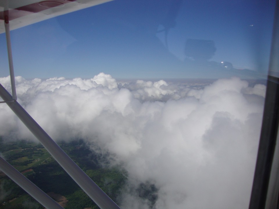
Terry is up front flying the airplane and took this photo at 11:51 AM.
The overcast layer has cleared and a scattered layer of clouds are below giving a smooth
ride as the guys head west. Although it does not show in this resized photo, I
looked at the original photo and could make out the display on the GPS 396 showing a 97
MPH ground speed and 63 miles to the next stop.
Wendell took these two photos just five minutes later as they cleared the cloud
seen in the center of the photo above.
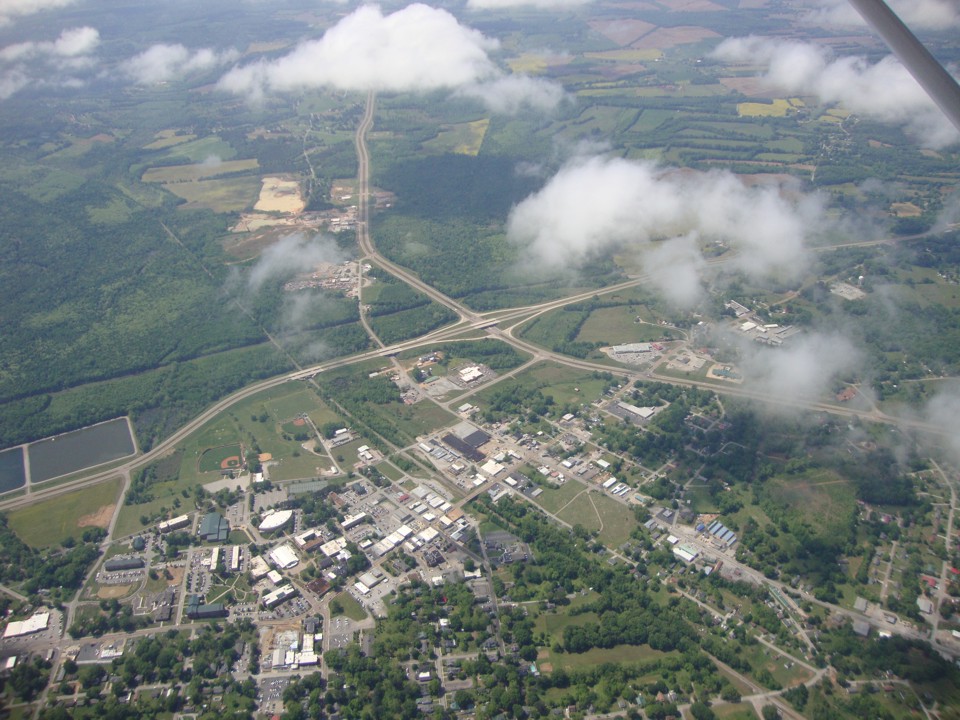
They passed over the town of Henderson, Tennessee at 12:03 PM Eastern Time.
The photo is looking south from the left side of the airplane at the intersection
of the US 45 bypass crossing the Tennessee route 100 bypass running from left to right
across the picture. Selmer, TN and Corinth, MS are south on US 45. TN 100 is
heading west (right) toward Memphis, TN. The flight has come about 80 miles from the
last fuel stop at the airport for Lawrenceburg, TN.
| CLICK HERE for Amarillo PAGE 4 | Return to MAIN MENU |