June 2022 Vacation Day 17, Grand
Teton Mountains and Yellowstone National Park · · PAGE 43.
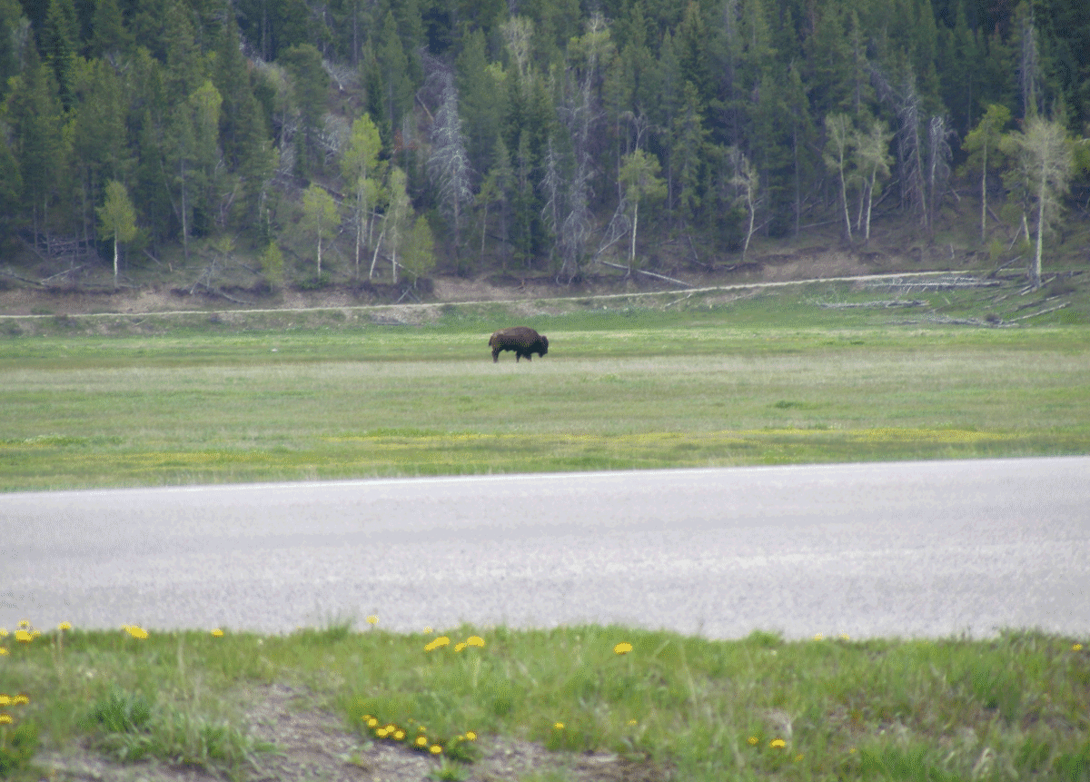
June 8, 2022: When we left the lower Teton
Mountain area, we saw some buffalo on the East side of the highway, not close to
the road. I had to push my 10X zoom lens to get this photo with ONE
buffalo in this image. There were others in this area, but too far away to get a
reasonable image. This photo was taken from the Elk Ranch Flats turnout on
US 26.
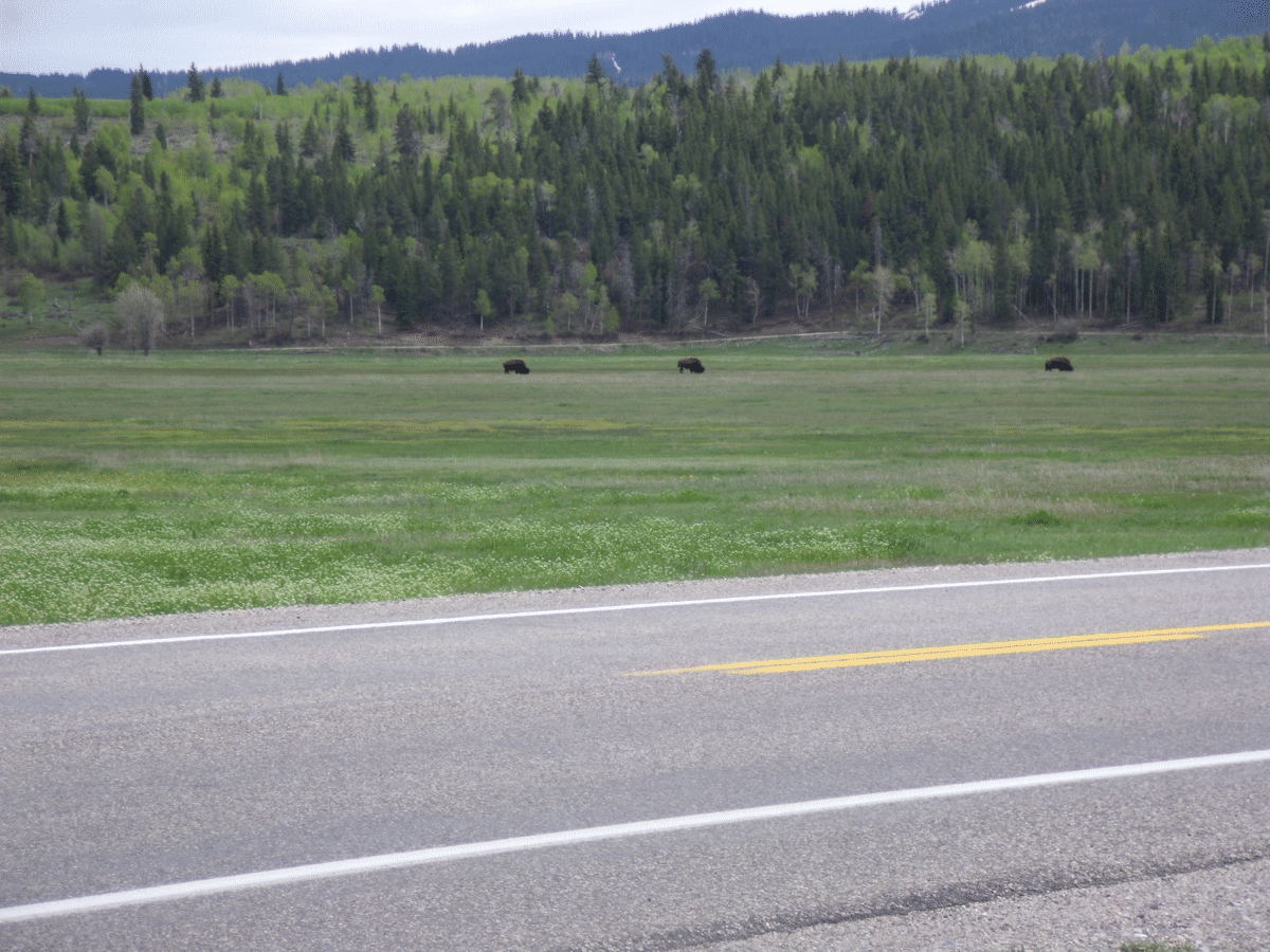
Linda got a better picture with three buffalo in the frame.
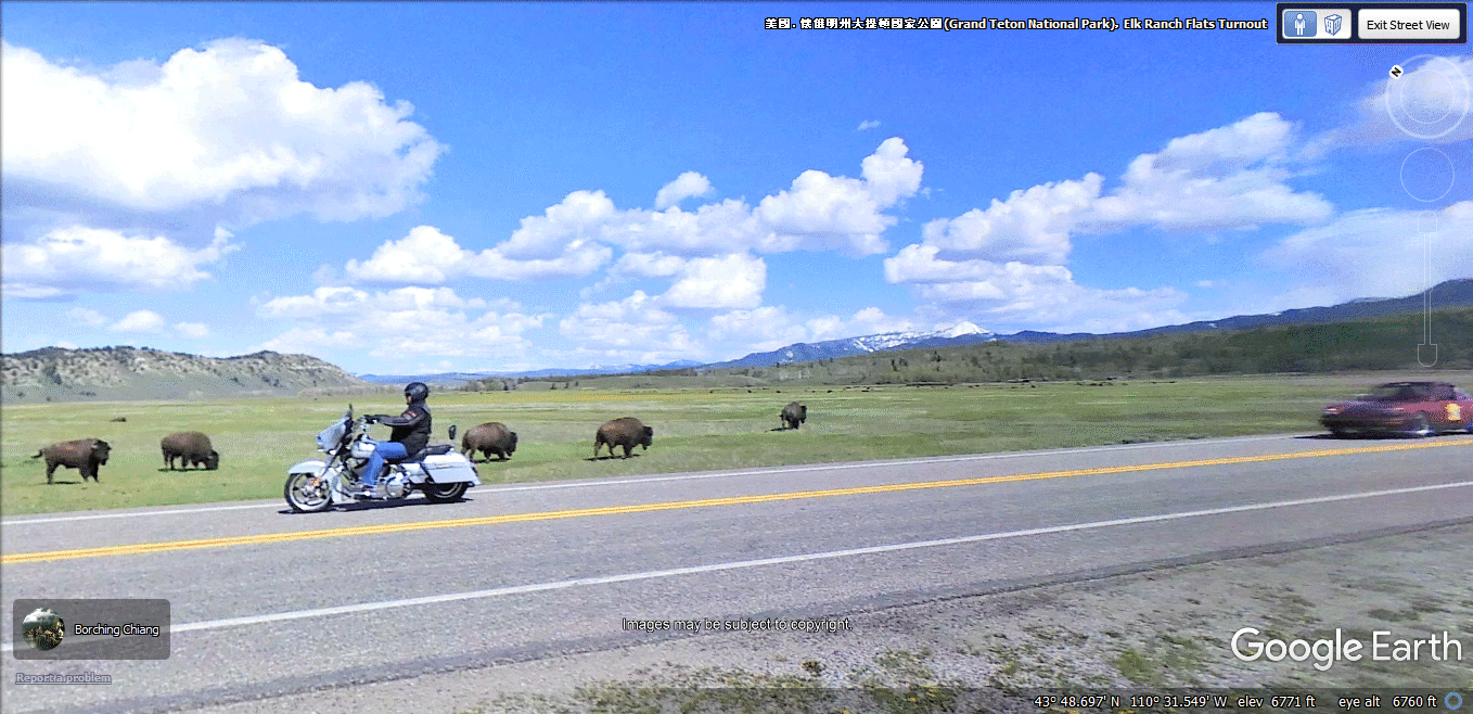
While retracing our route on US 26 near the north end of the Grand Teton
area, I found a perfect Google Earth image taken from the same location where I
took my photo above. This location is known as Elk Ranch Flats where a
turnout from the highway allows tourists to stop and take pictures.
Here is the view looking WEST from Elk Ridge Flats showing the Grand Teton
Mountain Range.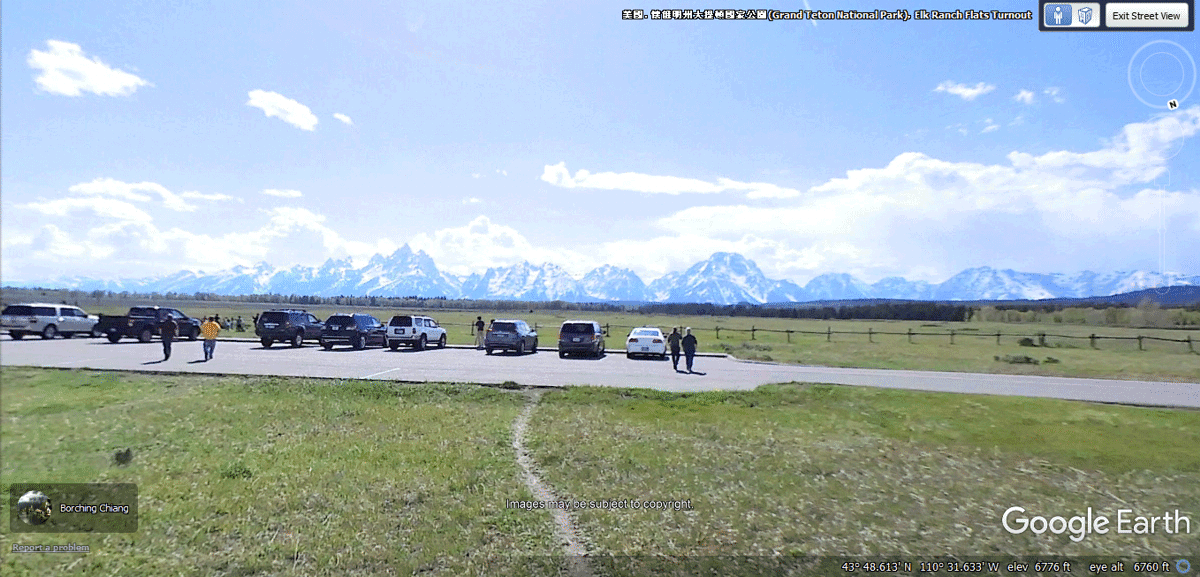
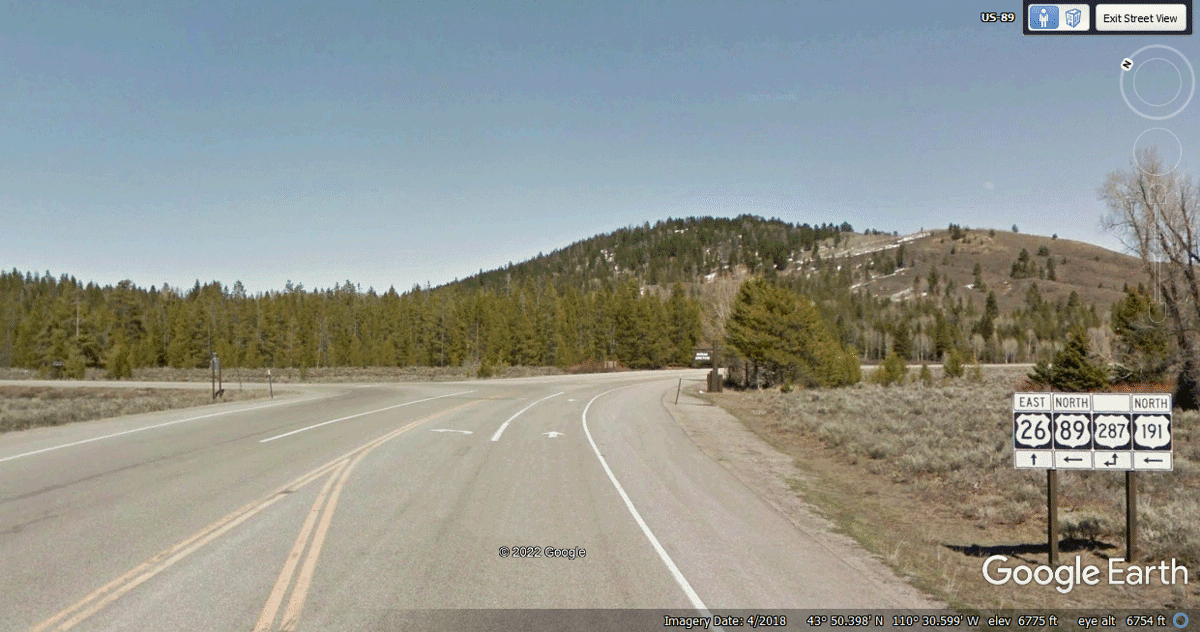
Moran intersection is north of the images seen below. It is ahead where US 26 goes East away from the national parks. A LEFT turn will follow US 89 and
US 191 north to Yellowstone National Park. That is our route going north
from here.
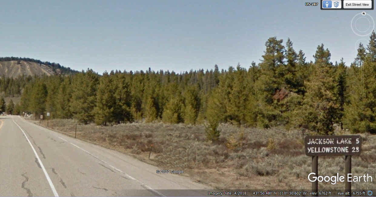
Here is the road sign on US 89 after leaving Moran Intersection. Jackson Lake in just 5 miles ahead with Yellowstone 28 miles ahead.
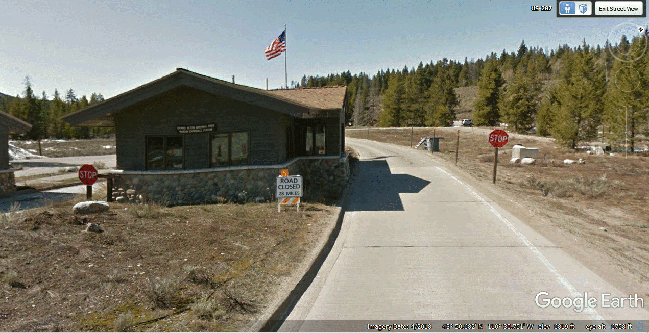
It is time to show my veteran national park pass and head up the road to
Yellowstone National Park. The Google Earth Image below is from April 2018
when snow and ice at the high altitude was a problem. The road ahead was
open when we traveled here on June 8, 2022.
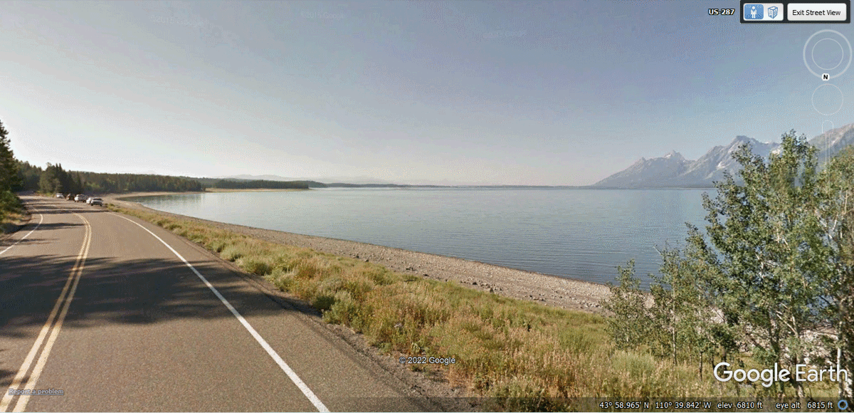
This Jackson Lake overview shows the north end of the Grand Teton Mountains
and how they drop right down into the lake from our viewpoint.
This is another image looking south as we leave the Grand Teton
National Park going north.
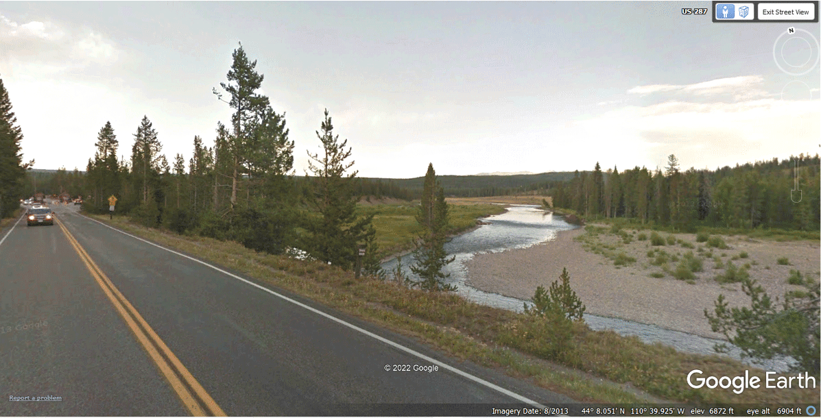
The Snake River is now over on the East side of US 89 as we go north and
the river flows south.
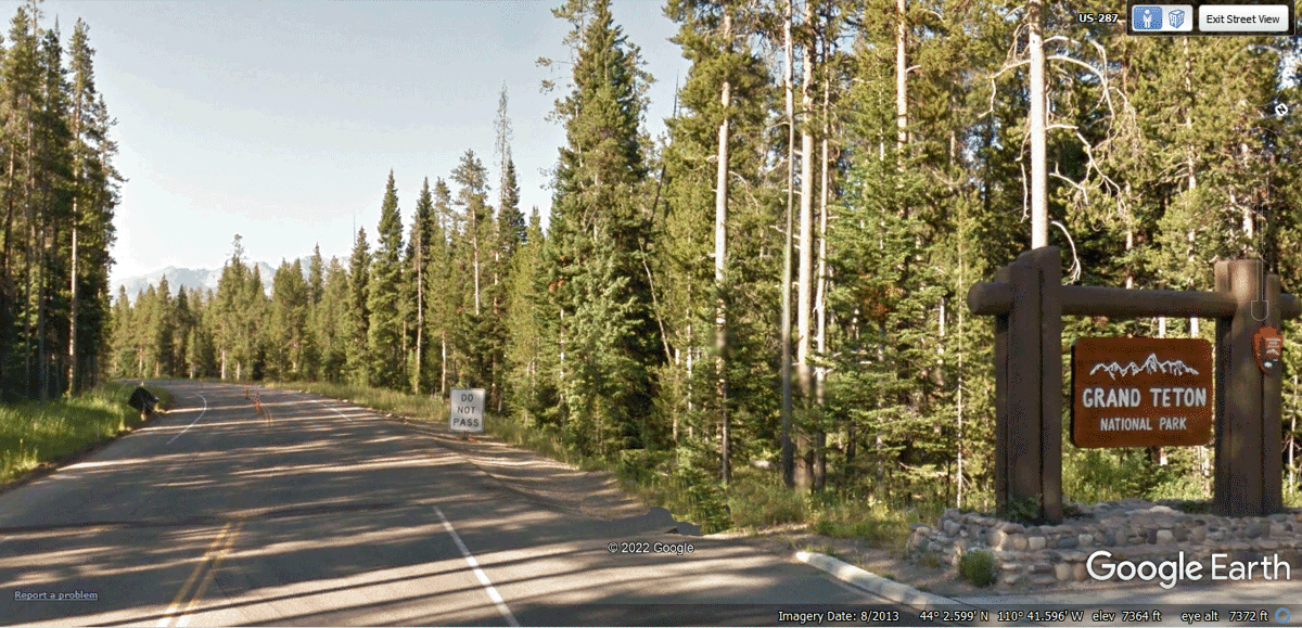
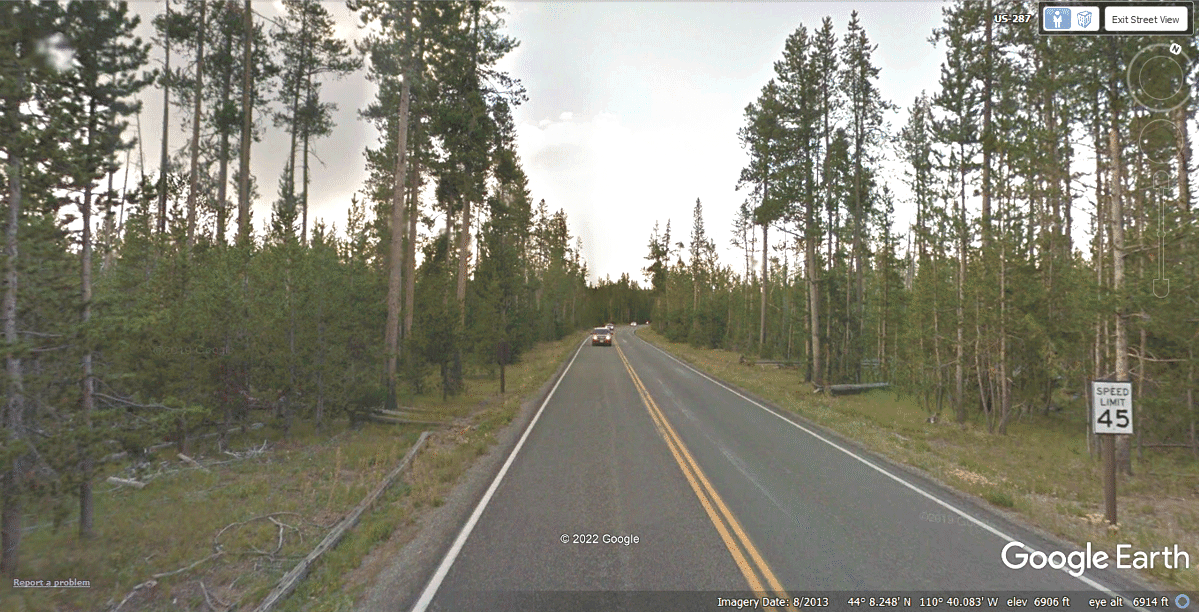
This is the south entry to Yellowstone National Park as it was in August
2018 when Google Earth came through with their camera vehicle in the southbound
lane.
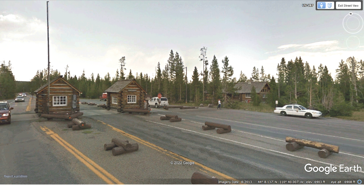
Entering Yellowstone National Park, there is plenty of forest with nothing
else here but the highway.
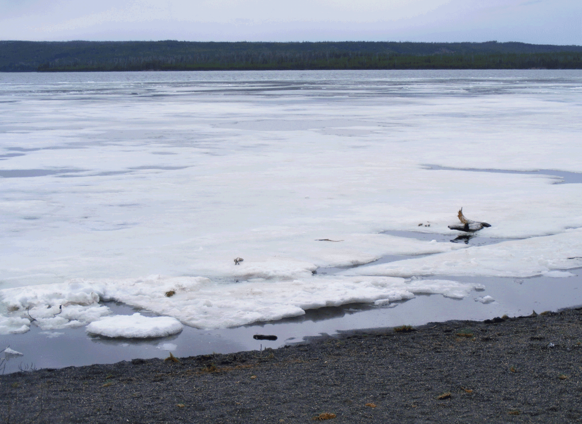
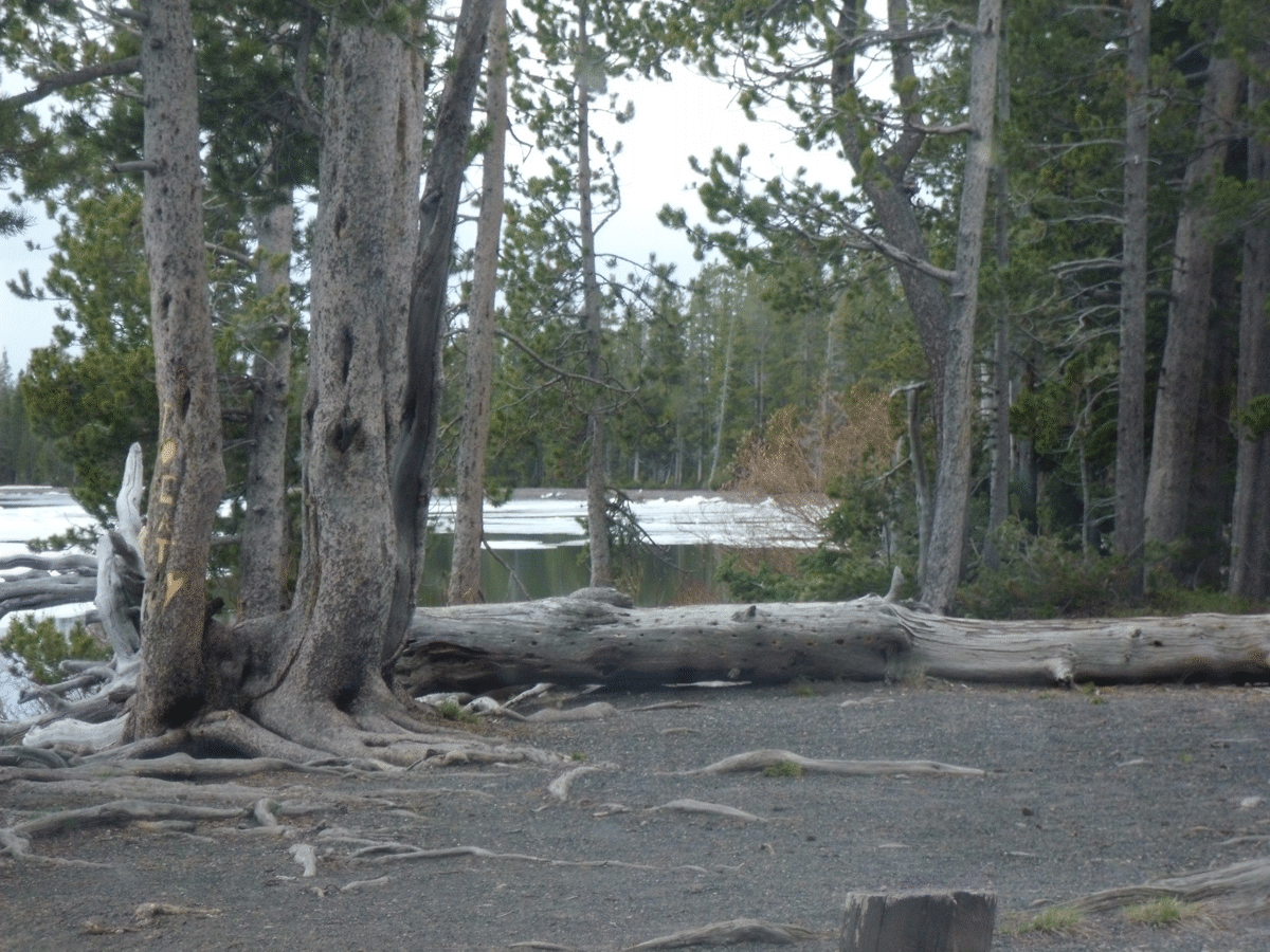
We stopped at a lakeside turnout where I took this photo on June 8, 2022
at 4:06 PM Mountain Time. It shows some floating debris including snow and ice
blowing in to the shoreline adjacent to the highway.
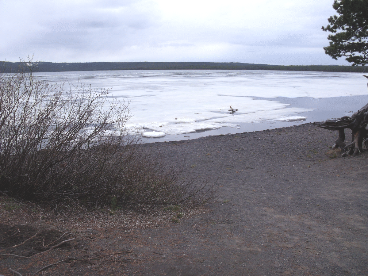
Here is Linda's photo similar to mine above but with a wider-angle image.
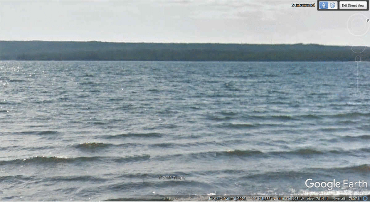
I used Google Earth to find the place where I captured the photo
above. The horizon in my photo above and the Google Earth image below from
August 2013 are matched perfectly.
She also captured this fallen tree just north of where the above photos
were captured.
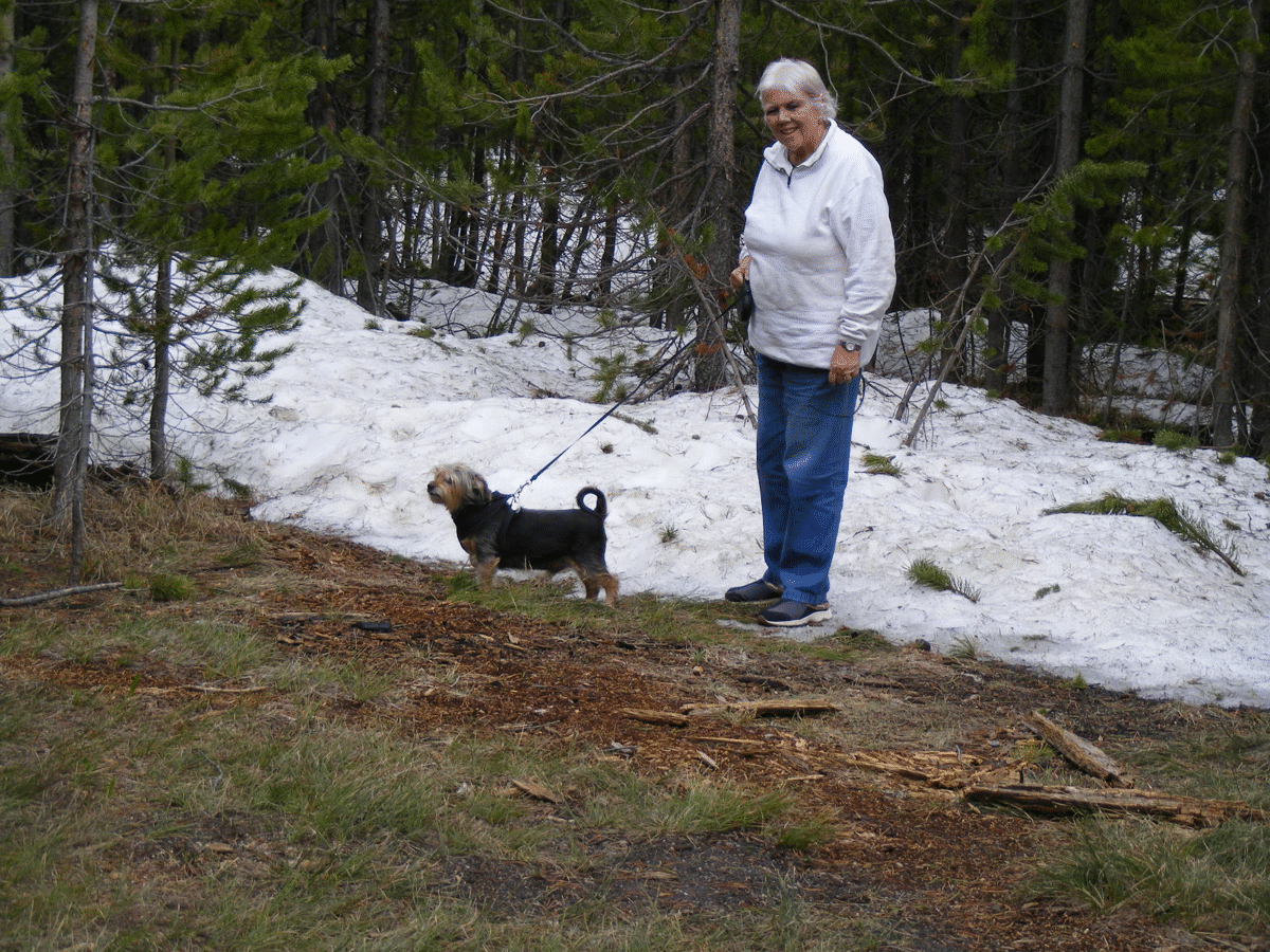
I took these two photos below from the other side of the road where Linda
gave Chase a chance to experience SNOW for the first time since he is a Florida
dog.
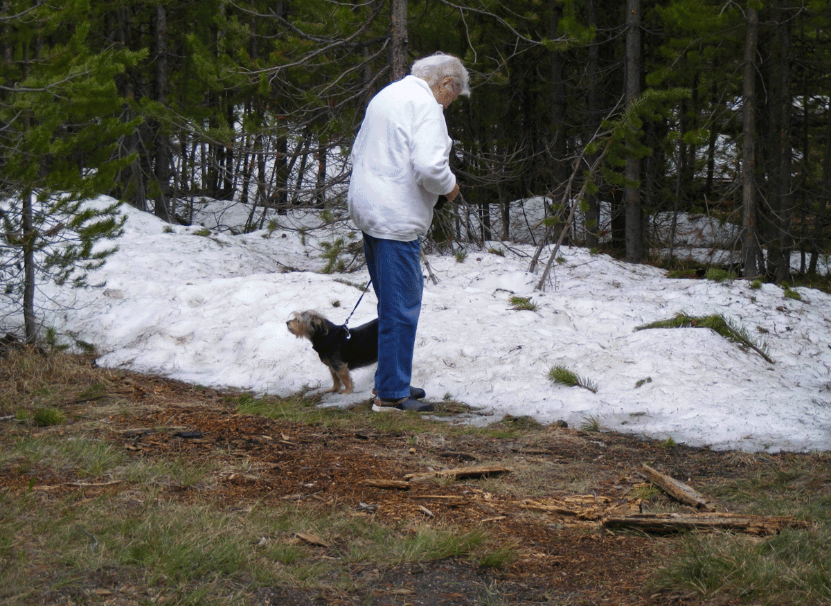
This second image shows Linda posed for my camera.
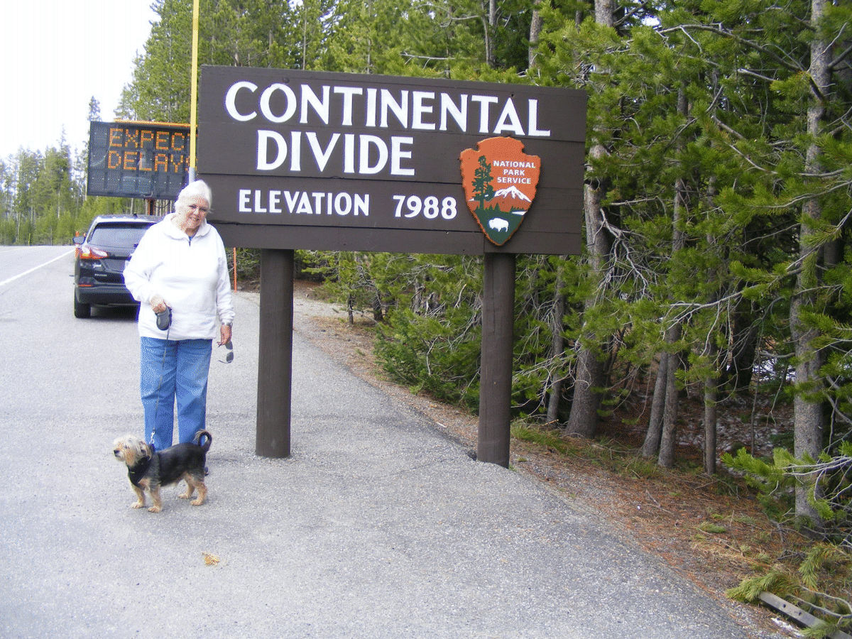
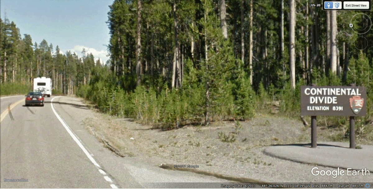
About 3.6 miles north of the SNOW photos seen above is the first
CONTINENTAL DIVIDE SIGN along our route today. This sign is bigger than
the others we saw later in the day.
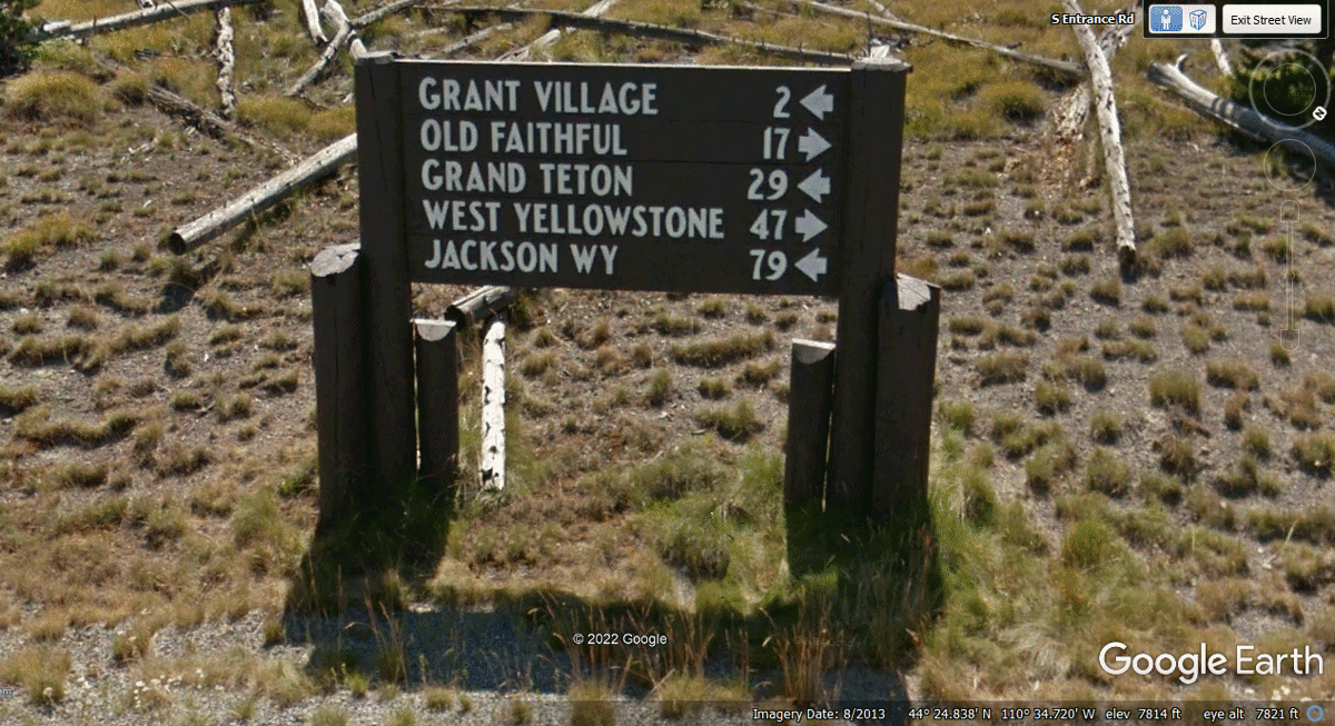
The road sign seen below is where US 14 comes into a busy intersection
near the center of Yellowstone National Park. The elevation here is 7,814
feet MSL. Old Faithful geyser is 17 miles from here on US 20 going west.
US 20 continues to the town of West Yellowstone in Montana outside the National
Park. Grand Teton and Jackson,
Wyoming are south of here on US 89. We came north from Jackson, Wyoming
earlier today on our route so far. Our next stop is at Old Faithful.
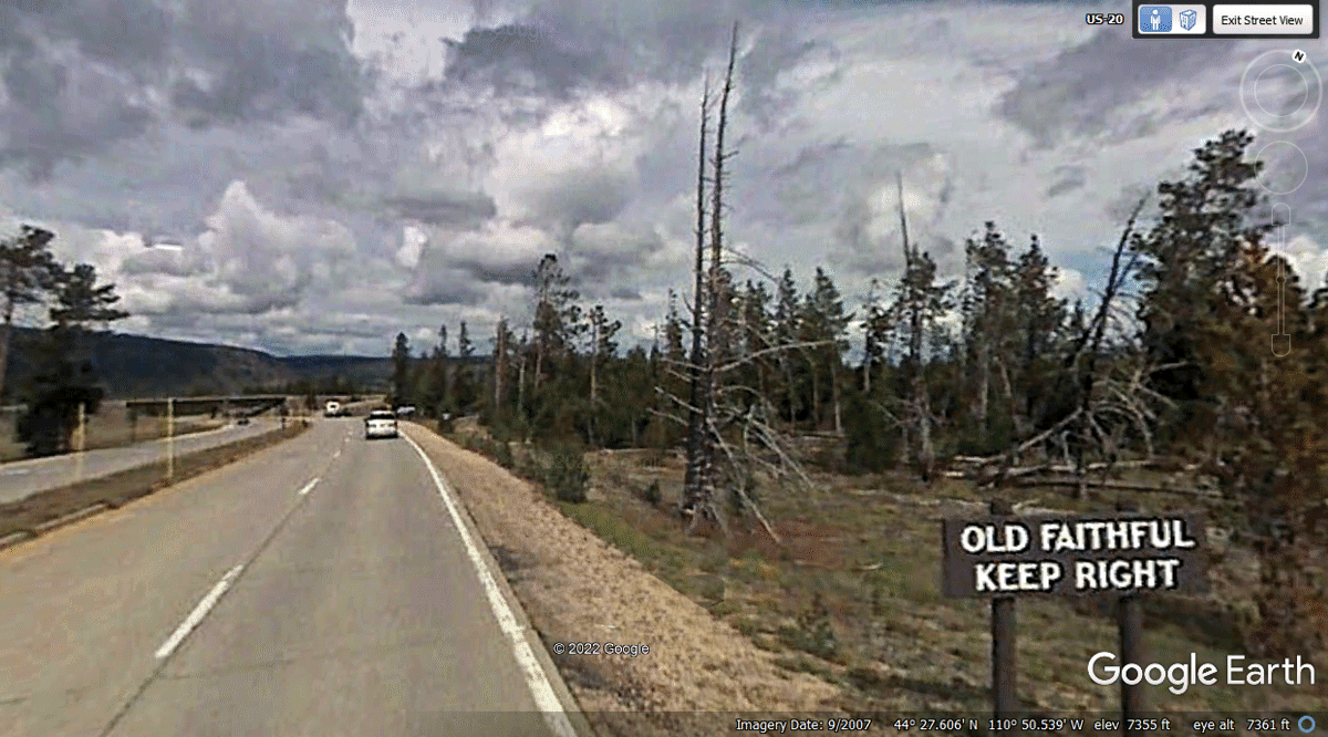
When I "drove" the Google Camera Vehicle to this location, the
westbound traffic had a sign like this one EXCEPT the insignia seen in the CLEAR
on this sign was BLURRED out on the other sign. Let's get moving westbound
toward Old Faithful. Yes, there are several places inside the national
park where a road crosses the Continental Divide.
When you have completed the 17-mile ride from the central road sign to the
Old Faithful area, hopefully you get there at just the right time for the next
eruption of steam.
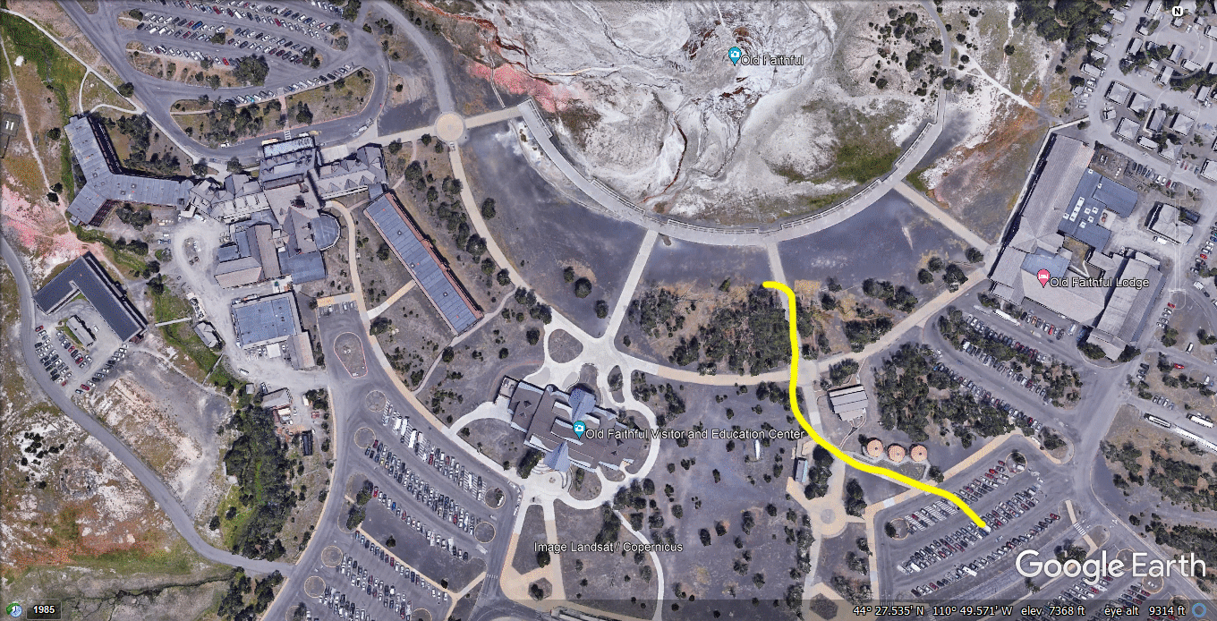
When we were entering the area behind the parking lot, Old Faithful was
in the midst of an eruption. By the time we got a reasonable parking
place, it was over. There is always another show in about an hour.
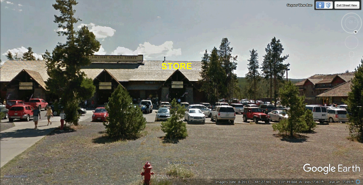
We walked over to this building with multiple stores to see what they
have. I was keeping Chase with me on his leash as Linda checked out the
three sections of the building you see below. The General store with some
fruit was on the end of the building where I marked it as STORE.
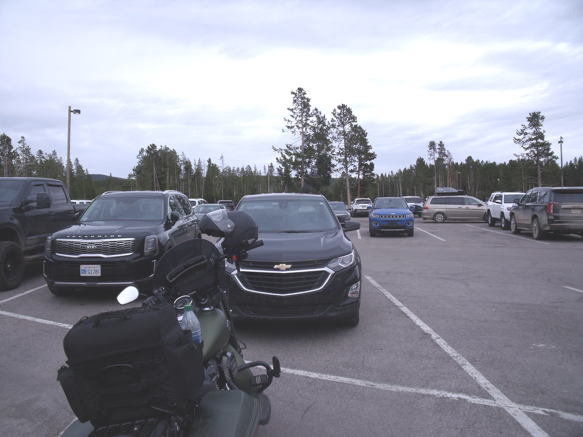
Linda took this photo of her Chevy Equinox "truck" where we
parked to go see Old Faithful. She probably did not notice the motorcycle parked
there when she took this photo.
The Yellow line shows how we walked from our car to a log where we could
sit with Chase to watch the eruption of Old Faithful as seen in our photos ON
THE NEXT PAGE