June 2022 Vacation Day 10, The Great Salt Lake · · PAGE 24A.
June 1, 2022: We made a
local trip
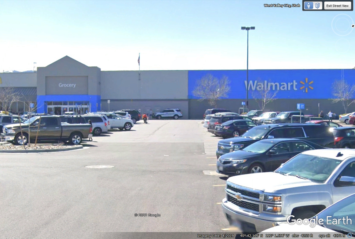
before leaving town just over 5 miles south of our motel to a Wal-Mart to get more apples for
Linda. We got them this morning as we resumed our trip west on Interstate 80.
I keep some bananas and dark chocolate Hershey bars in our insulated cooler bag
that has frozen water bottles in it to keep that stuff fresh. The
bottled water get frozen in the motel refrigerator every night.
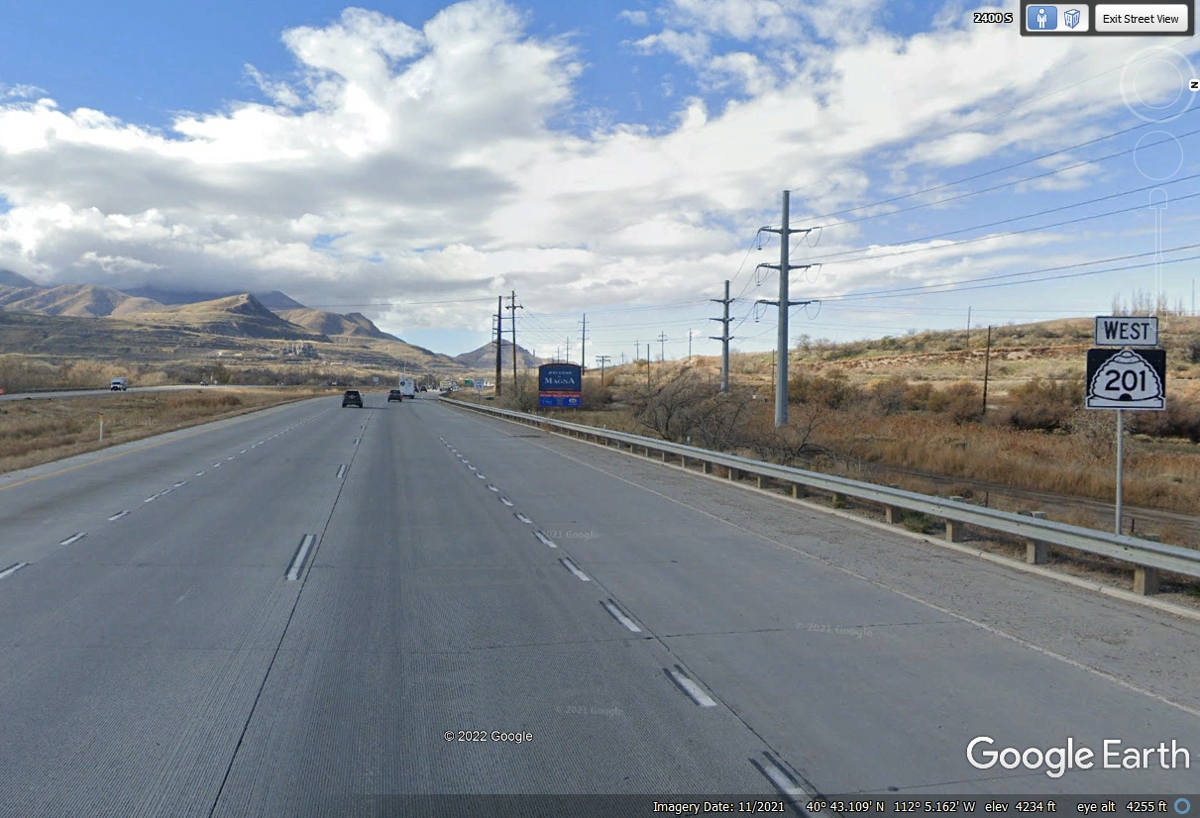
I used this Utah state route 201 to cut a few miles off our connection to
I-80 west of town. By doing that, I missed what I wanted to see along our
route this morning.
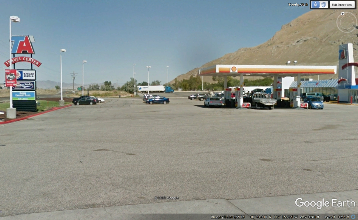
When we reached I-80 to head west, the Great Salt Lake was clearly visible
from the highway but I did not see a road to get over to the shore. I went
to this truck stop to top off the fuel tank before heading across more desert
area. It only took 3.6 gallons, but I wanted the tank FULL. I went
inside to pay the bill and to speak to a person in the store to find the access
road to the shore. She told me about a marina a few miles back to the east.
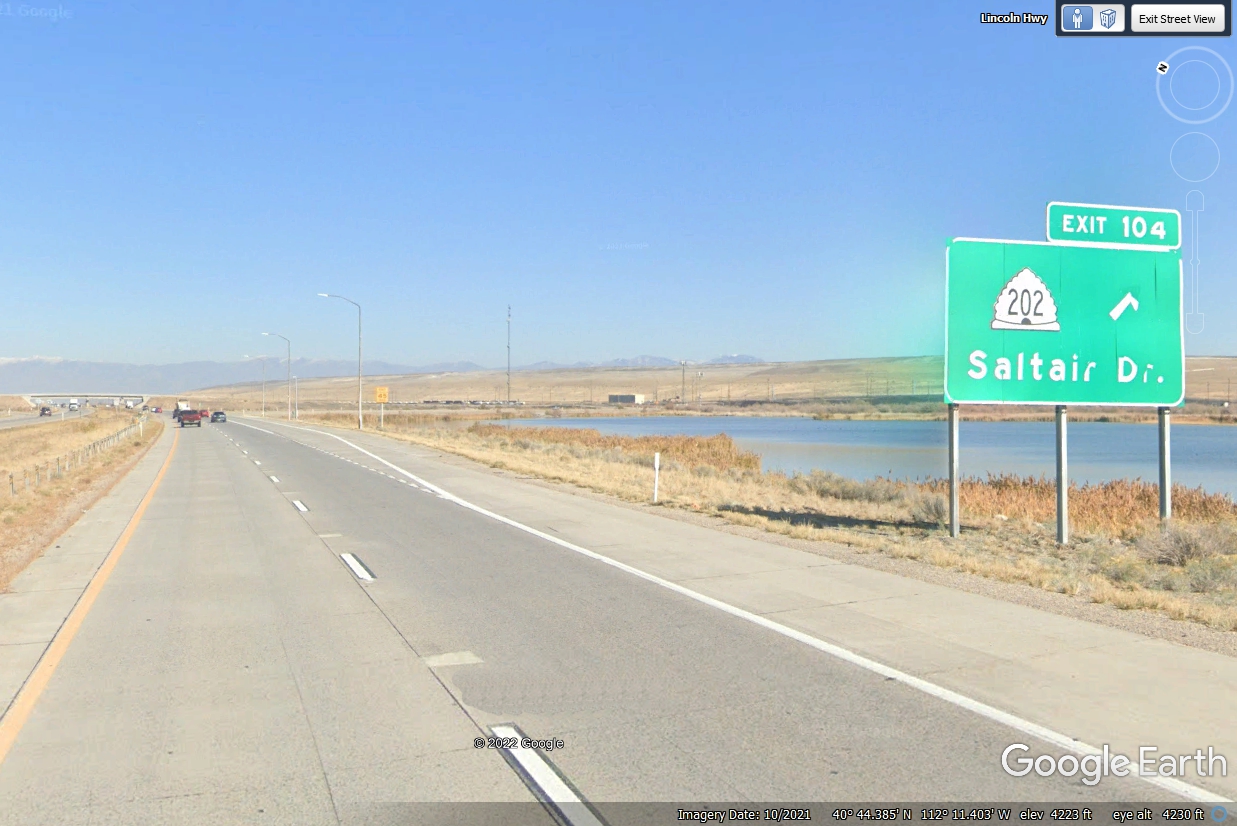
The lady at the truck stop mentioned Exit 103, which did not exist. I did
see an unusual building on the shore as I came to this exit 104, so I got off to get
a closer look on Saltair Drive.
I stopped on the side of the road from exit 104 leading to the frontage
road that passes by this building on the south shore of the Great Salt Lake.
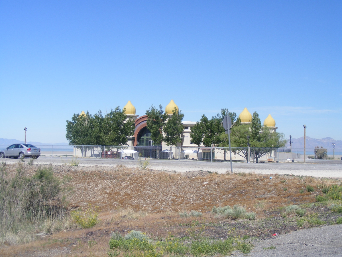
I parked the car on the frontage road and got up close to the fence seen
in the image above. When the drought is over, this place could have a real
water flooding problem from snow melt in the Wasatch mountains east of Salt Lake
City.
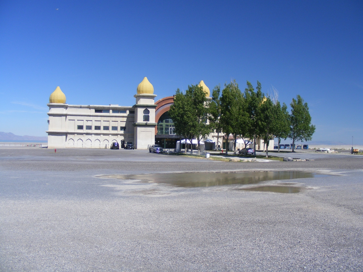
The frontage road has this very nice bridge that allows water to get into
a salt water marsh close to the original shore line near I-80 seen at the left
side of this image below.
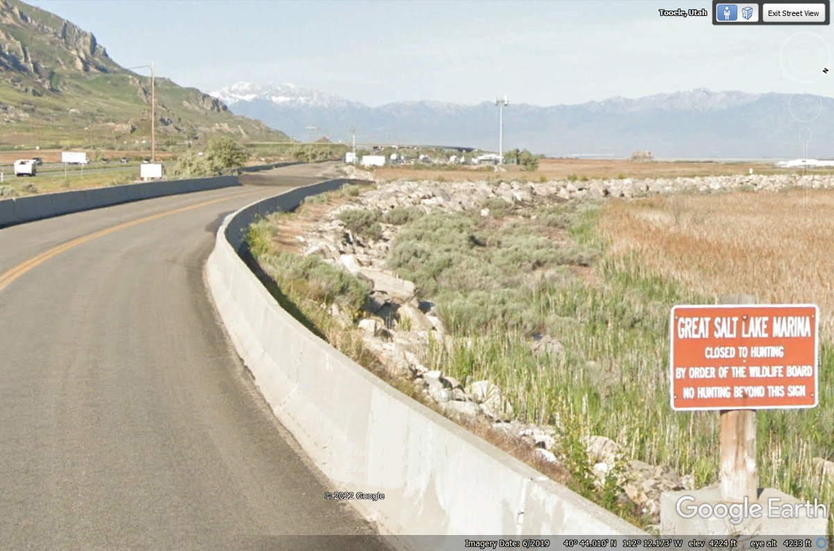
The Wildlife Board posted this no hunting sign by the side of the bridge
approaching the Great Salt Lake Marina.
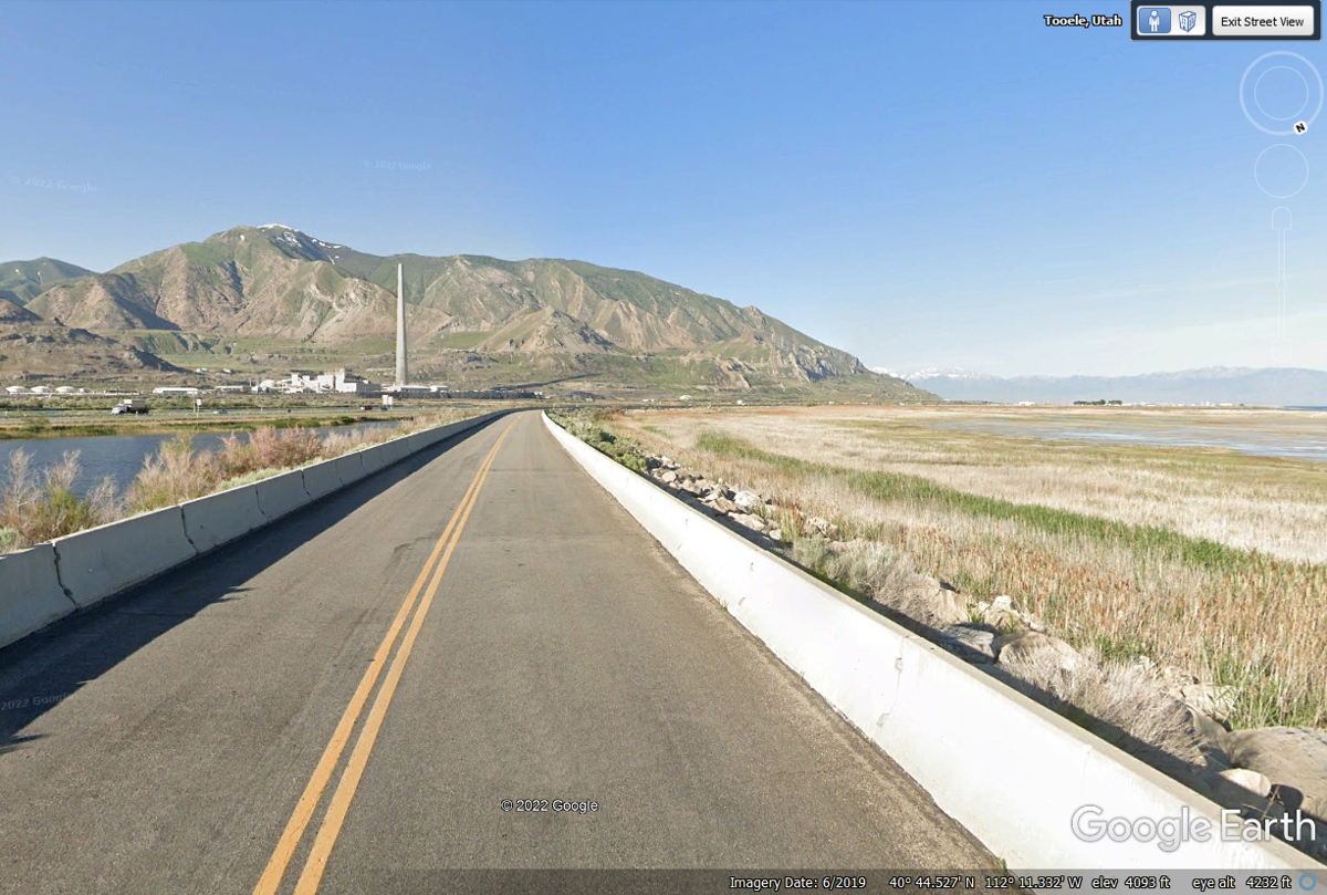
We did not find this older pavement from 2019 when we crossed the bridge on June 1,
2022. We found a dirt road full of pot holes that made sure we met the 15
MPH speed limit out here.
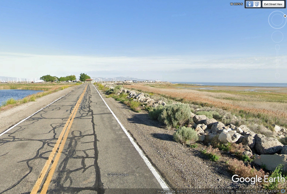
The dirt road with pot holes ended when we reached this gate house to the
marina.
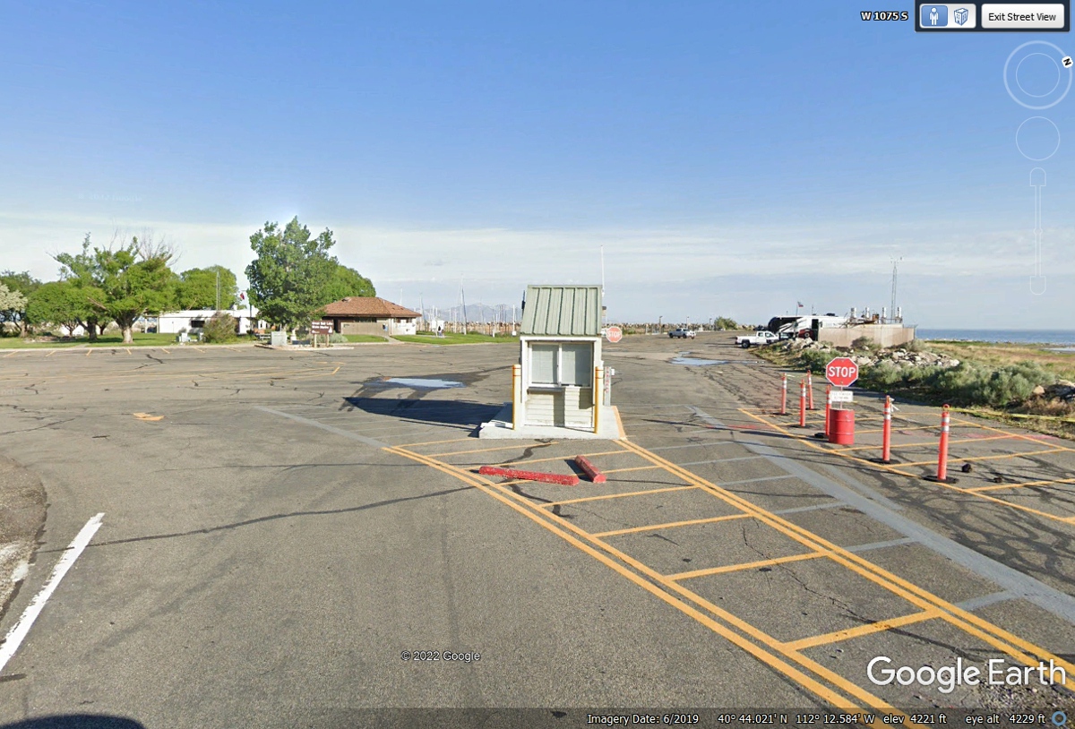
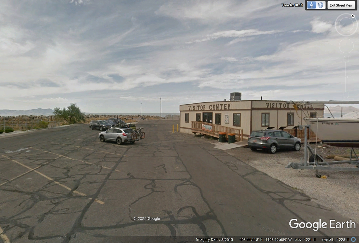
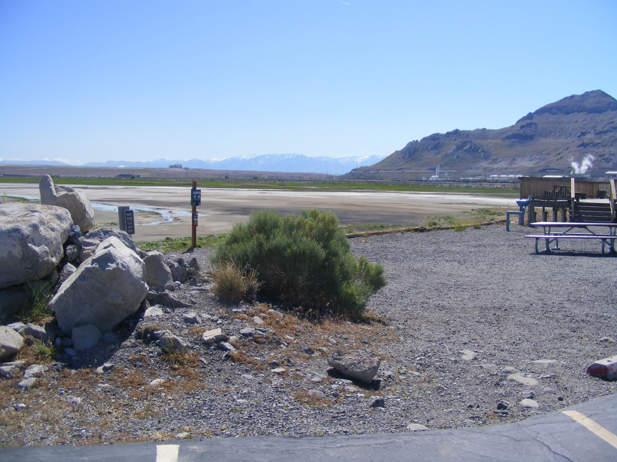
We parked the car near the Visitor Center and walked the short distance
beyond it where we could take good photos.
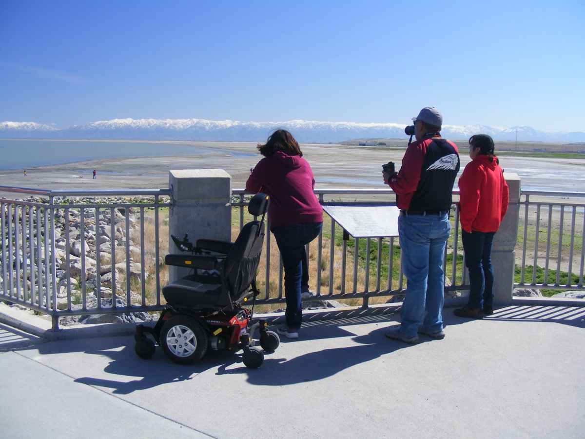
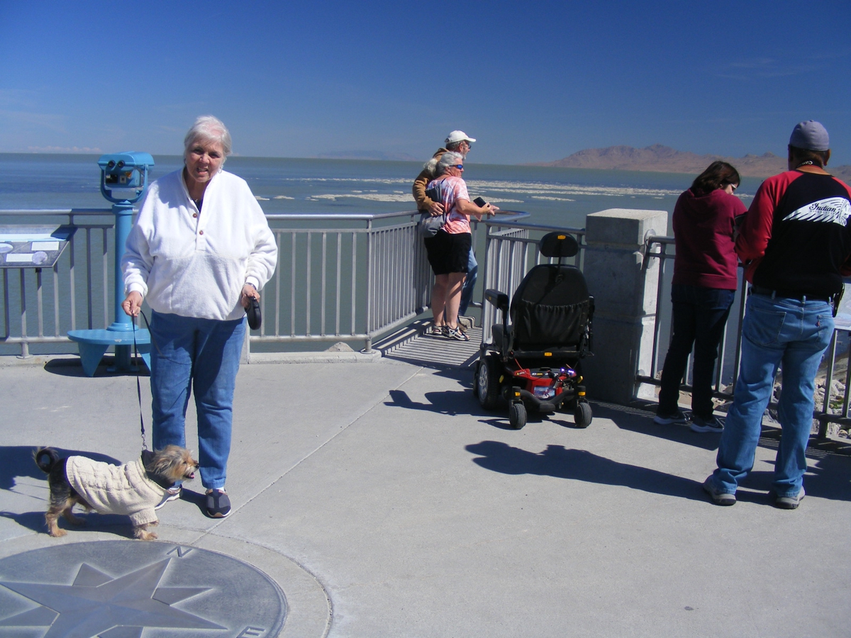
This wheel-chair access viewing location was perfect for taking our photos of
the Great Salt Lake.
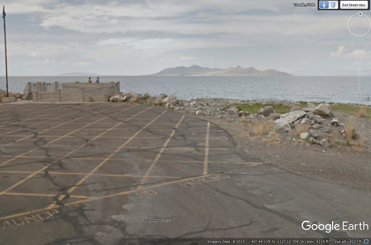
I took most of the following photos from that view point seen in the
Google Earth image seen above. There is no COMPASS ROSE on my photos.
There is a mountain in the Great Salt Lake.
This picture was taken on June 1, 2022 looking at the Wasatch Mountain
range on the other side of the Salt Lake City area with SNOW on the mountain
peaks about 32 miles to the East from this camera location near the south edge of the
Great Salt Lake.
Linda and Chase are at the center of the view point. At least Chase
is looking East toward the snow-capped mountains. (humor here).
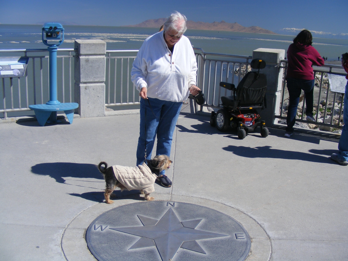
I finally got Linda looking at the camera with a bright sunshine
"squint" smile on her face.
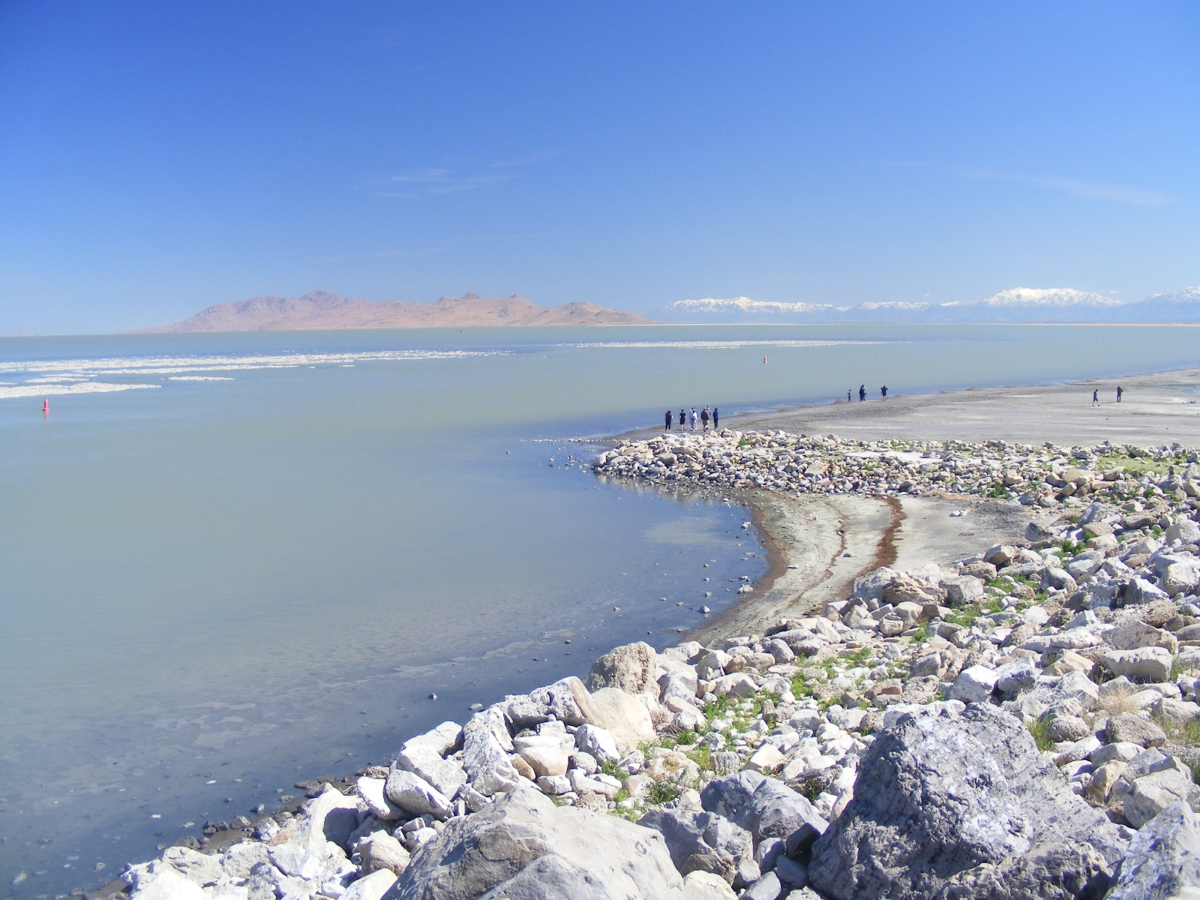
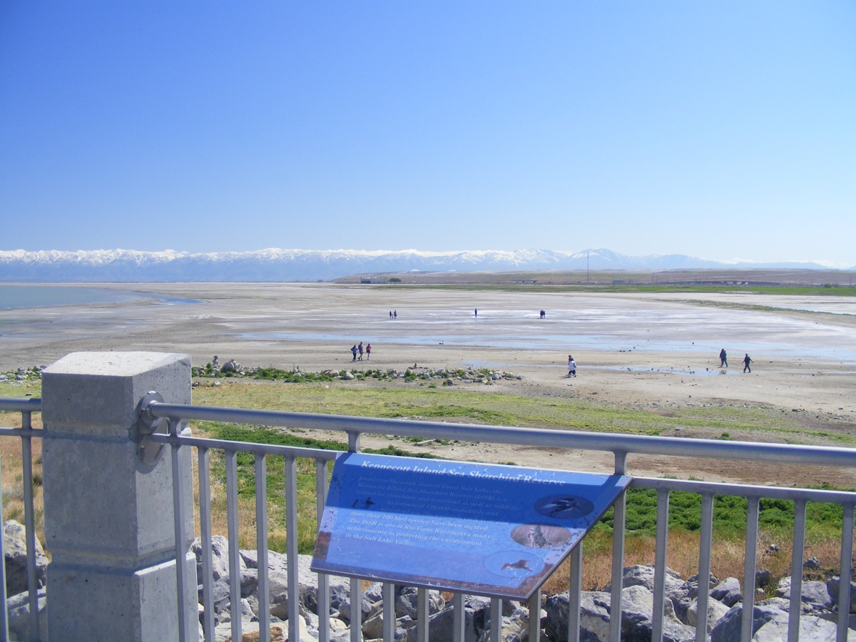
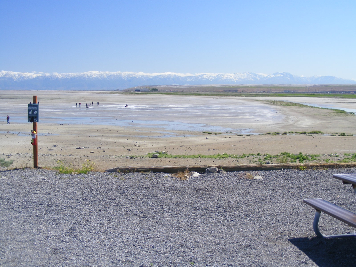
I took this wide-angle photo to show how far the water has receded from
the high-water line on the beach at the right side of this image.
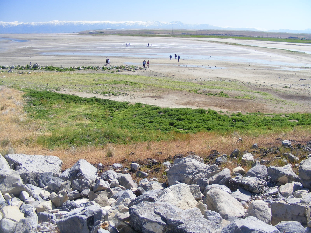
I took this photo to show how much greenery was closer to the view
point. The hand rail and the information plaque above blocked some of the greenery
view seen below.
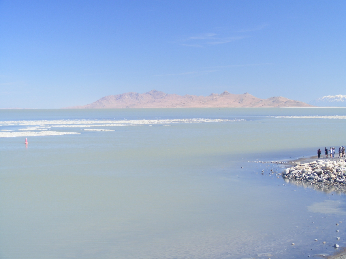
This image looks toward the north end of the mountains and the real
water line.
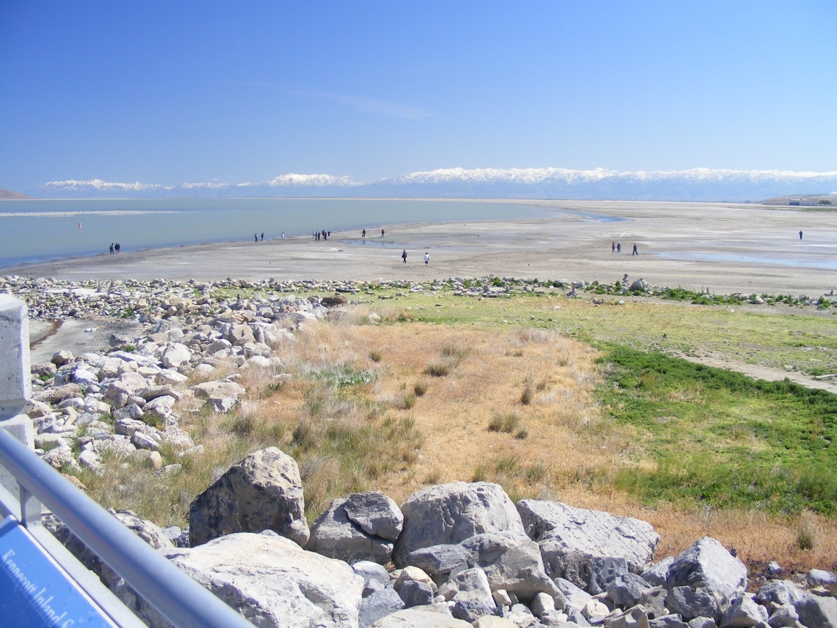
This image looks southeast to show how far the water line has
receded. It is also not taken from the elevated view point used for my
photos above The edge of the
asphalt from the parking lot is visible at the bottom of this photo.
This is my last photo taken before leaving the Great Salt Lake Marina.
| WEST FROM SALT LAKE CITY - PAGE 25 | RETURN TO WESTERN TOUR INDEX PAGE |