May / June 2022 Vacation Day 6 · · PAGE 15.
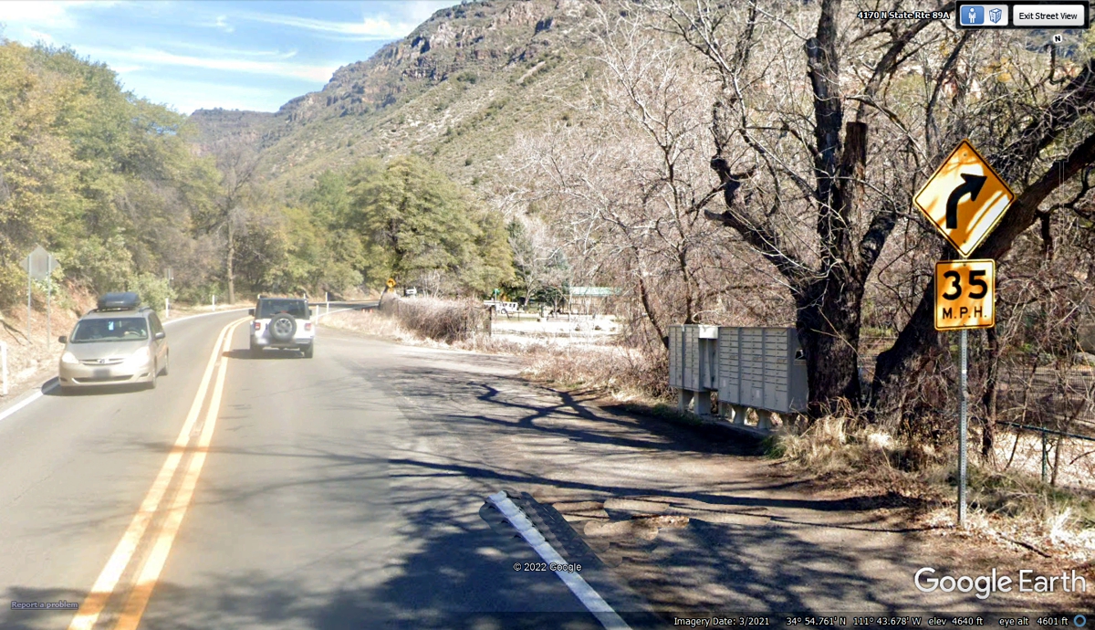
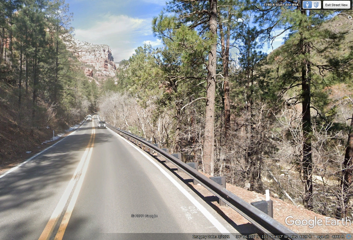
May 29, 2022: Our journey so far has
put Sedona, Arizona behind us as we are traveling north on Arizona State highway
89A toward Flagstaff, Arizona to our next motel for the night near Interstate
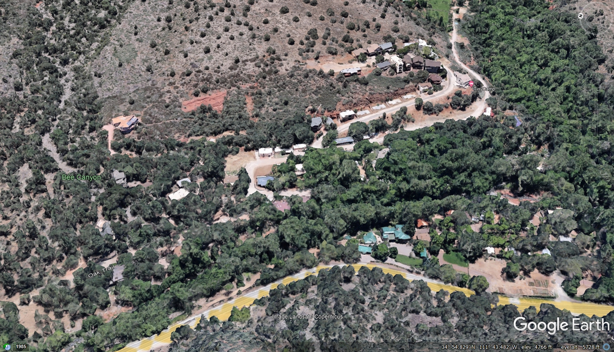
40. The place seen in this photo and NEXT PHOTO below this one is TINY
CAMP, a HOTEL located just north of the Beer and Liquor store on the creek side
of the highway.
Here is the entrance to the Tiny Camp Hotel on Arizona State Route
89A. Note the mail boxes.
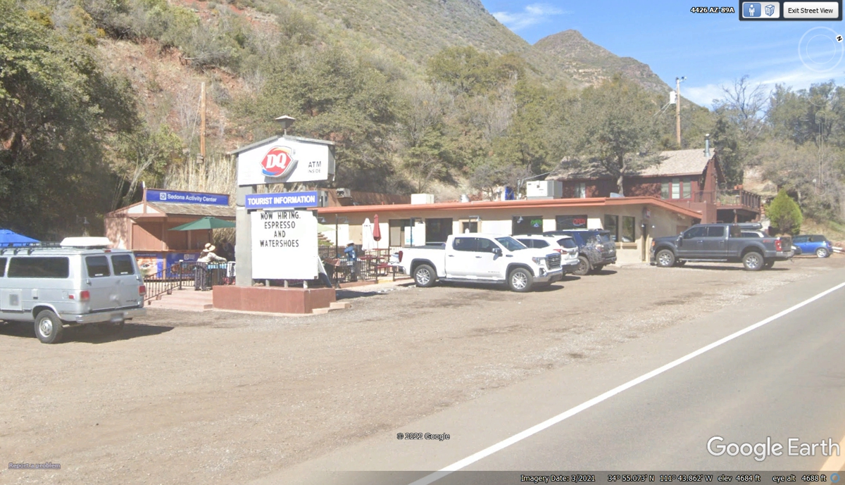
What is a Dairy Queen doing out here on this state highway? With a
hotel directly across the highway and another hotel just south of here, this
place is closer than going down to Sedona if all you want is fast food.
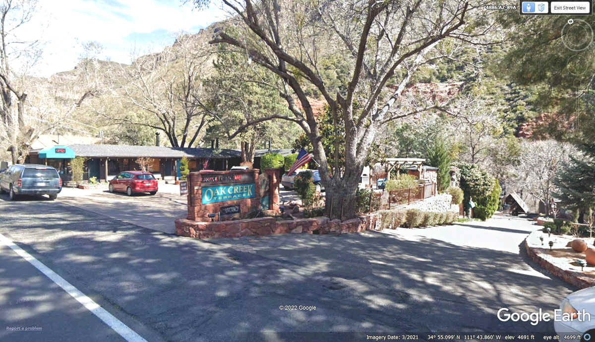
Here is that hotel across the street from Dairy Queen.
Getting away from the wide spots in the valley where the hotels are
located, the actual Oak Creek becomes visible since it is much closer to the
highway shown in the bottom right corner of the Google Earth image below. As long as the creek flows on a somewhat straight course, the
highway will run with it and the slow change in elevation as it travels north.
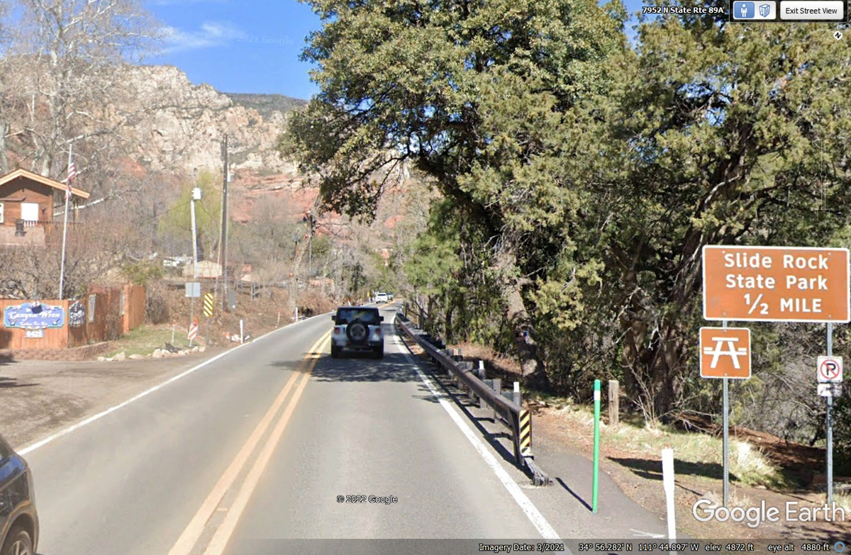
I looked at the parking area of this state park when the Google camera
vehicle passed this way in March 2021 to see many cars there.
This bridge across Oak Creek is the first one since leaving Sedona.
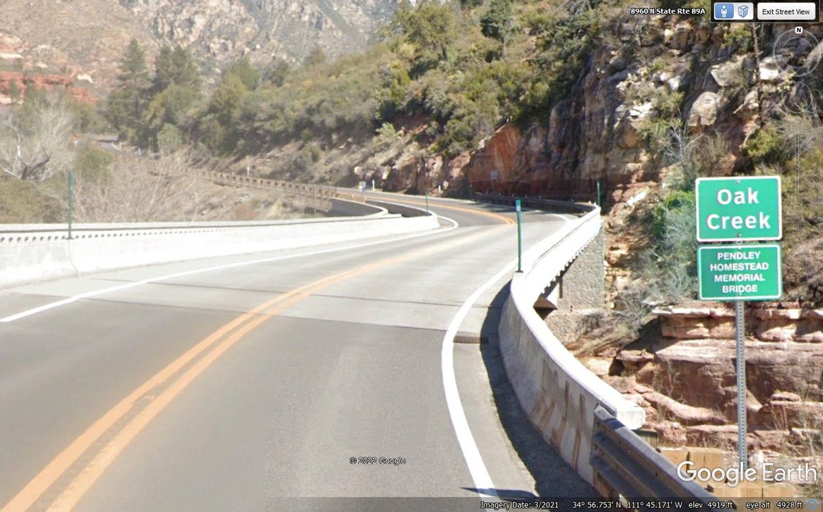
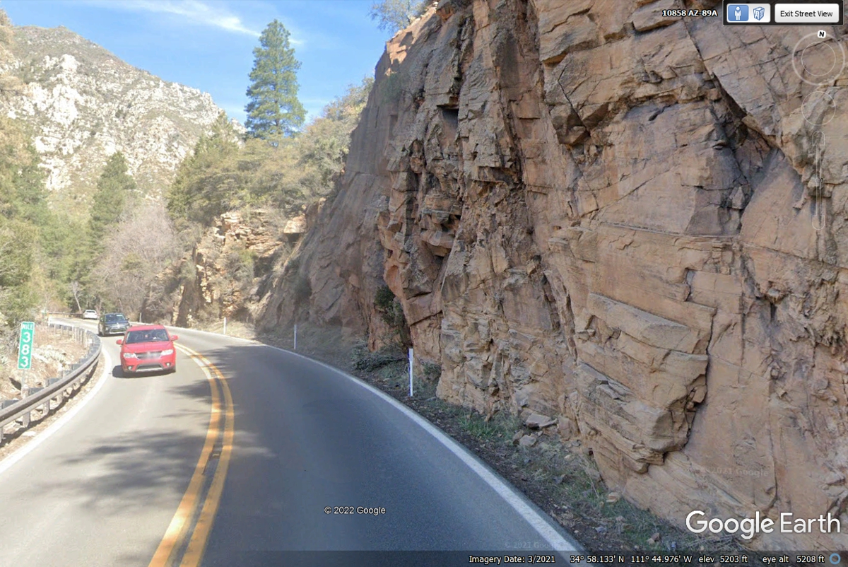
The terrain on the East side of the creek allows for better altitude gains
in the canyon.
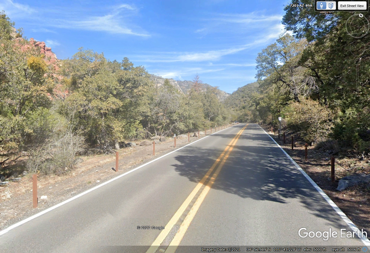
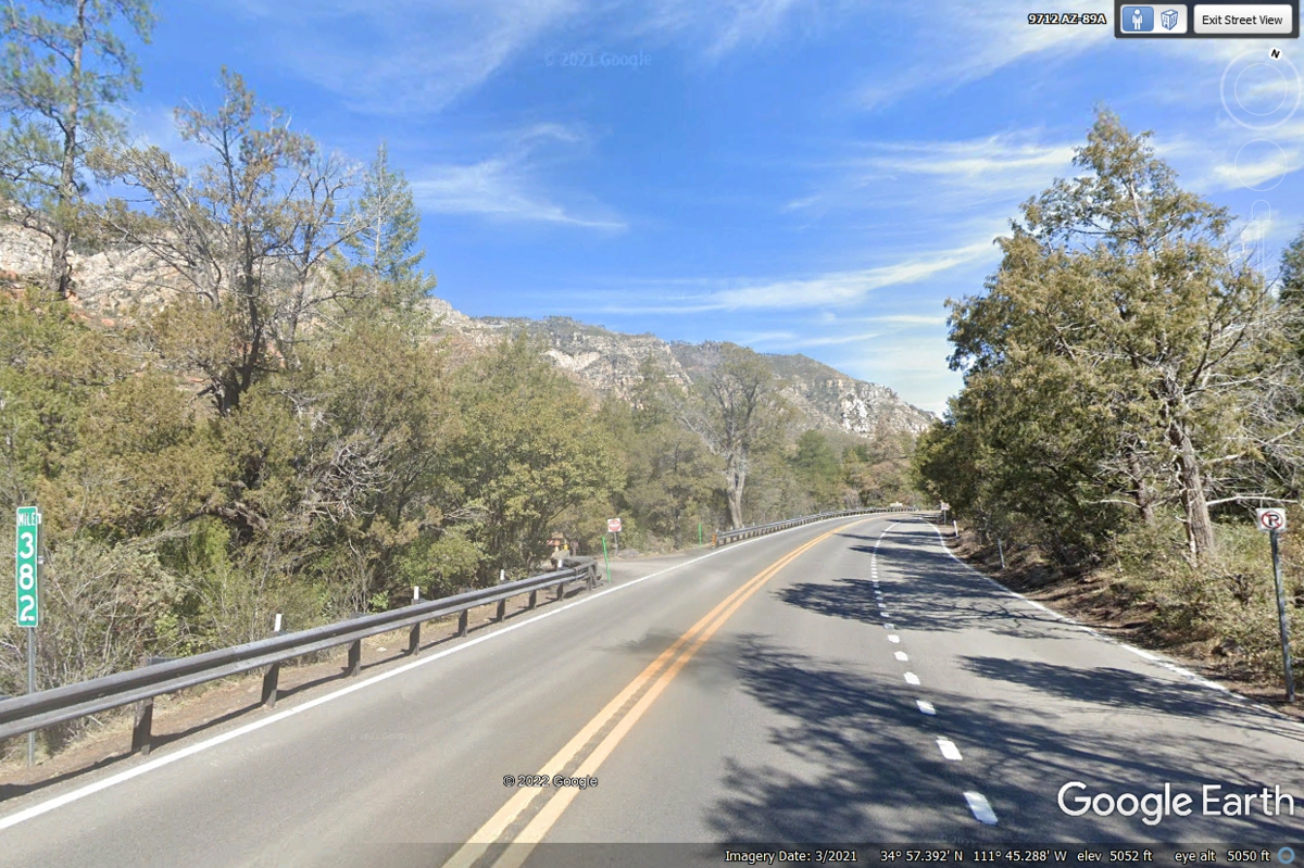
A slow traffic lane has been added to allow faster traffic to pass where the
elevation here is 5,052 feet above sea level.
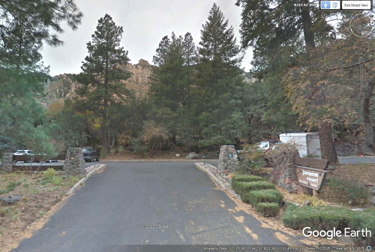
Junipine Resort is located on the west side of the highway with picnic
tables in the shade of the tree line area.
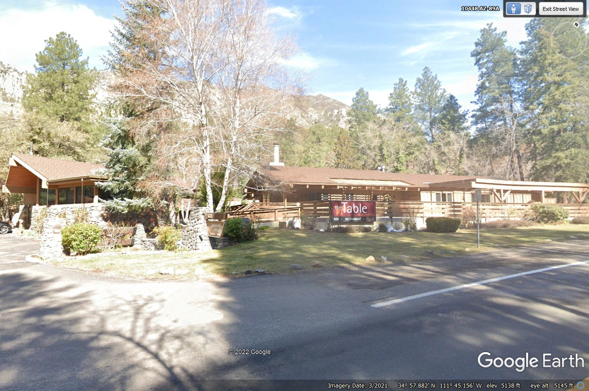
The Table Restaurant is part of the Junipine Resort.
Going one mile north on the road adds about 150 feet to the elevation seen
here in the Google Earth image lower margin.
A fire truck road sign in front of a sign that says Fire Houses Resort
must be a place where forest fire fighters get some rest when not on the front
line of a fire up here.
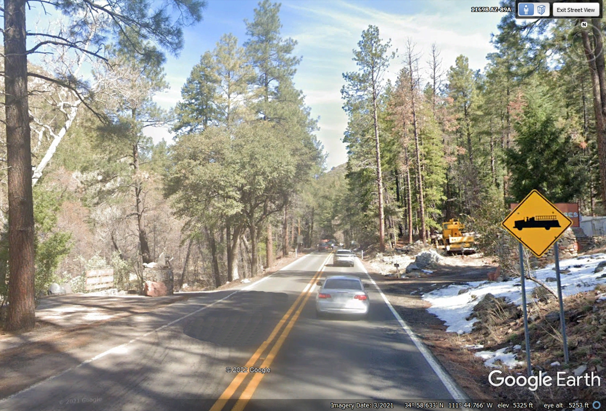
Sedona Fire Department has a fire station up here well above 5,000 FEET MSL.
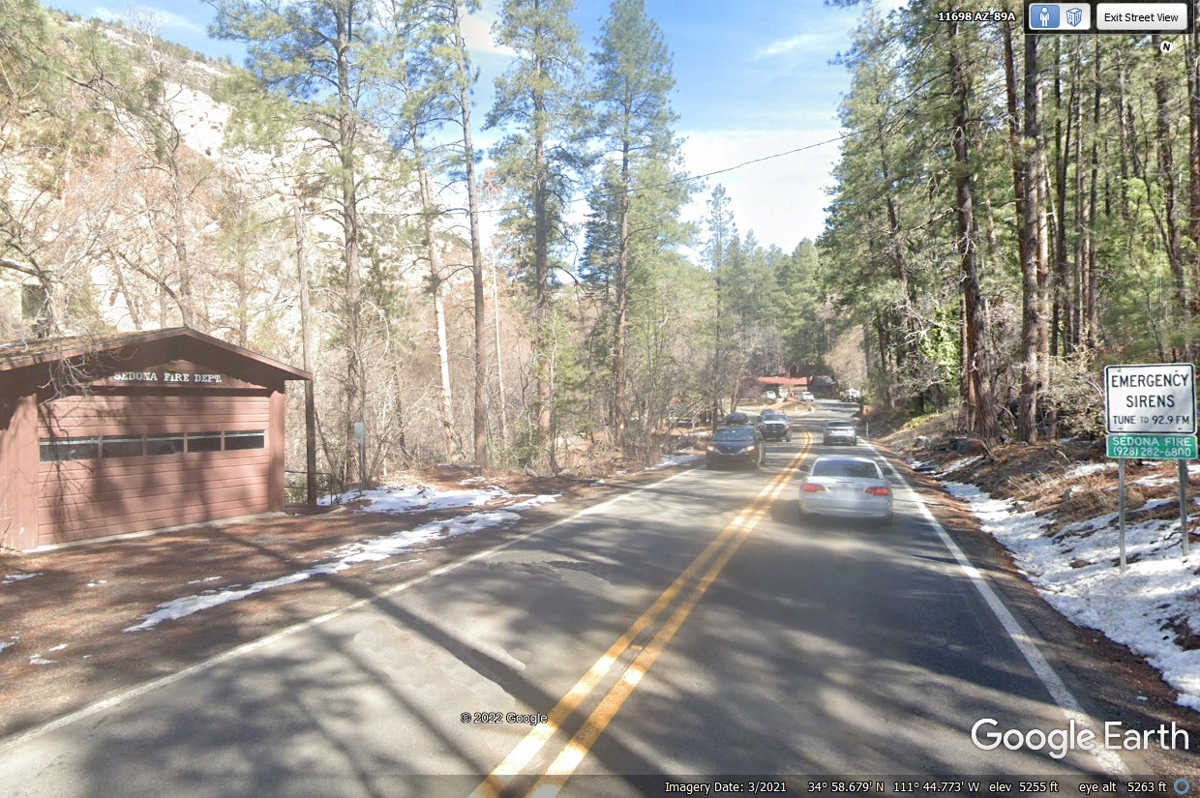
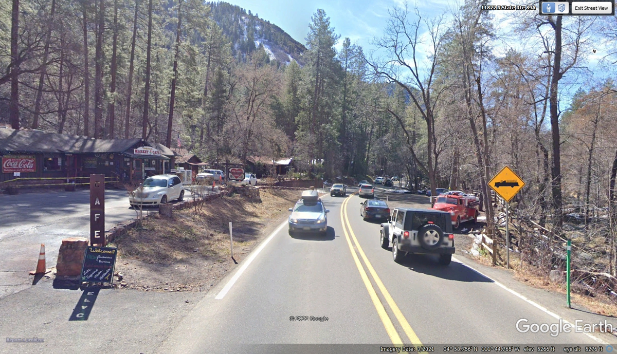
Here is the view of the fire resort area looking south from the north end
of fire truck zone signs. They have a market and cafe as well as the
office where you can register to stay in one of their cabins.
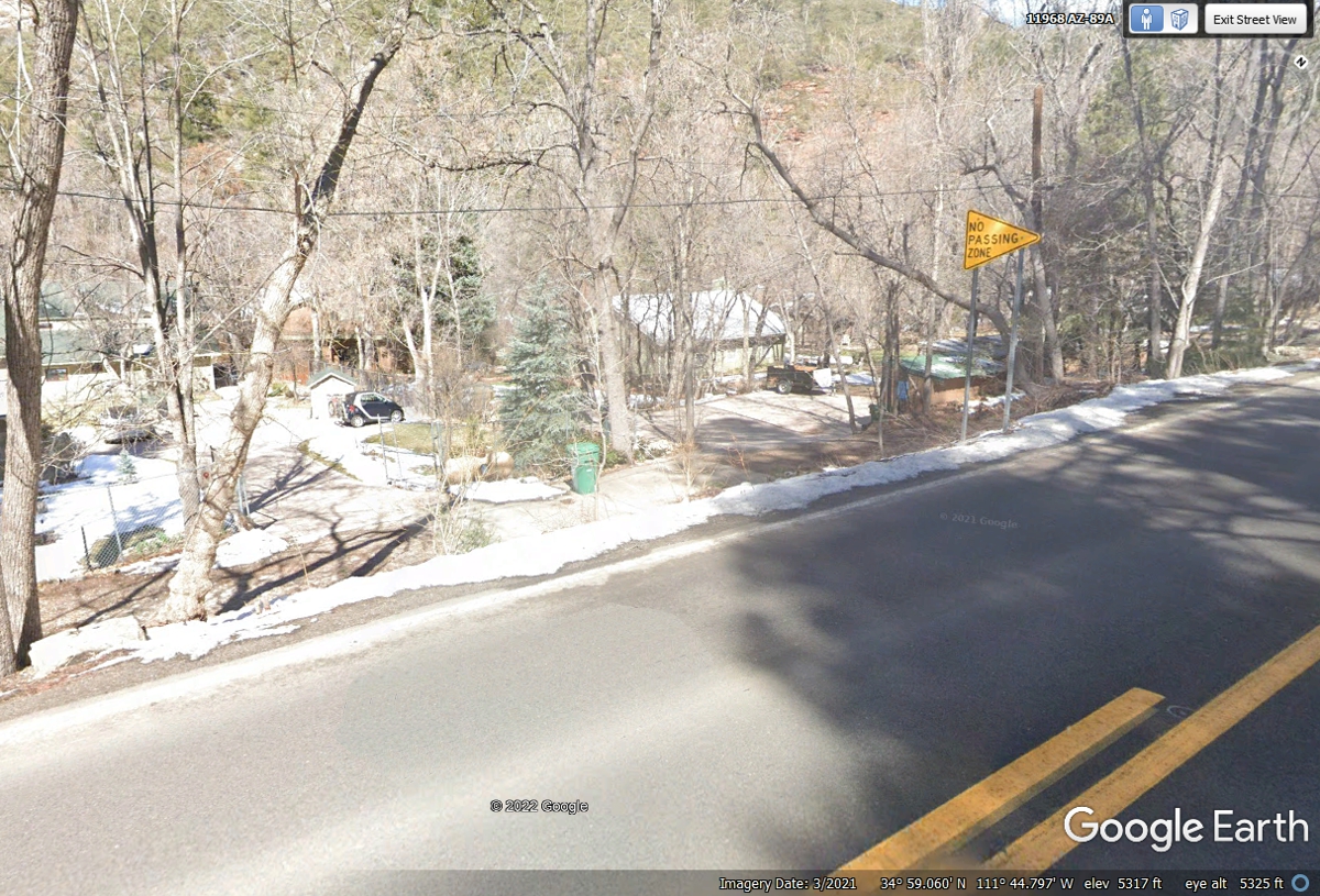
As I was driving the Google Earth vehicle north of the fire station and
resort, I noticed this green trash can. These are usually found with
private homes, some of which are seen here.
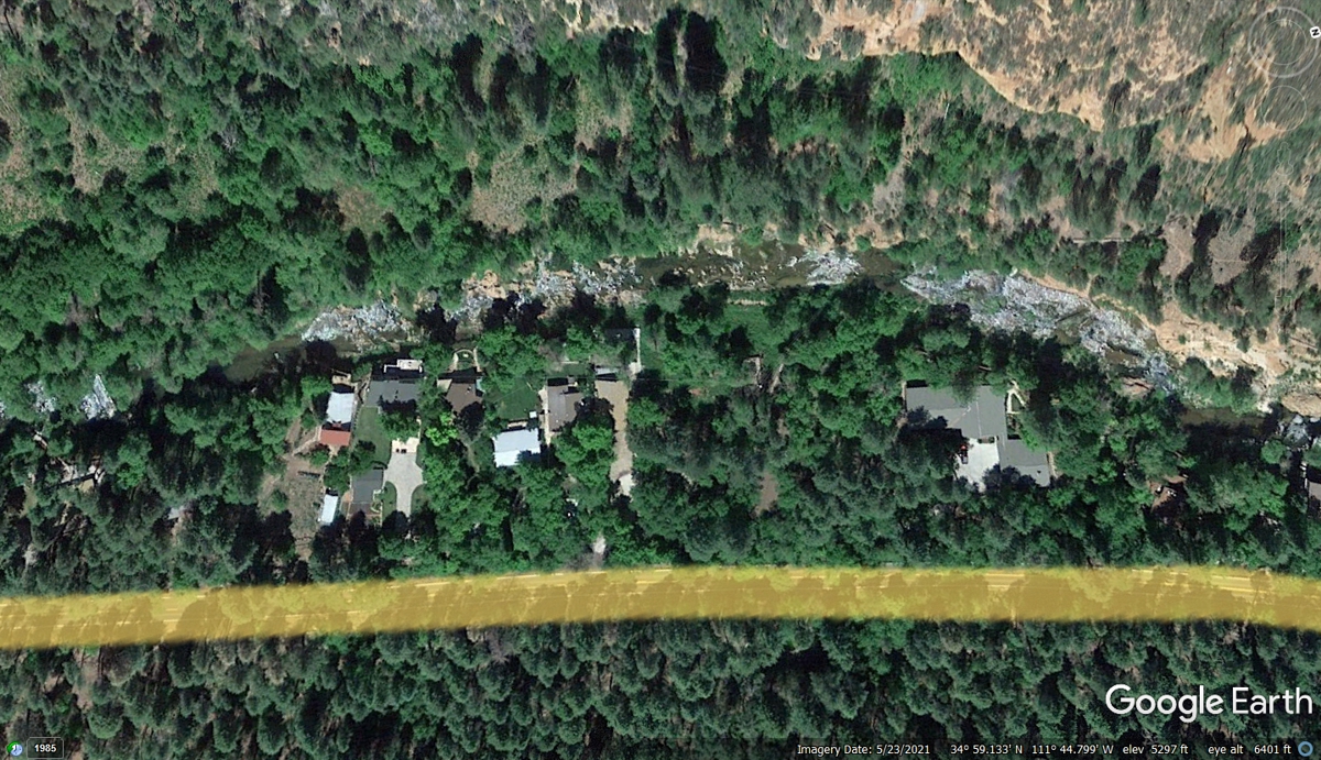
This aerial view north of the Fire House Resort reveals a number of
private homes between the highway and Oak Creek. North is to the right in
his image below.
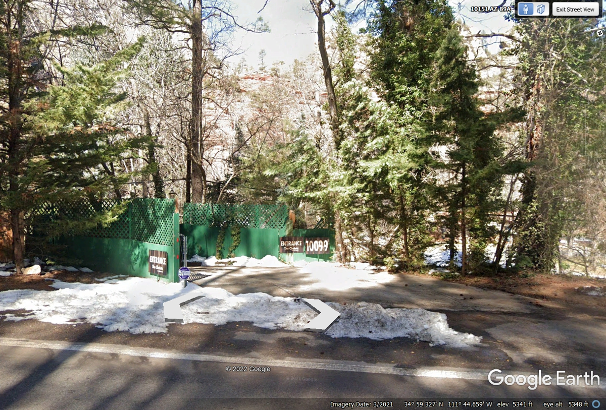
This entrance to The Chalets on the Creek indicates the address for this
place: 10099.
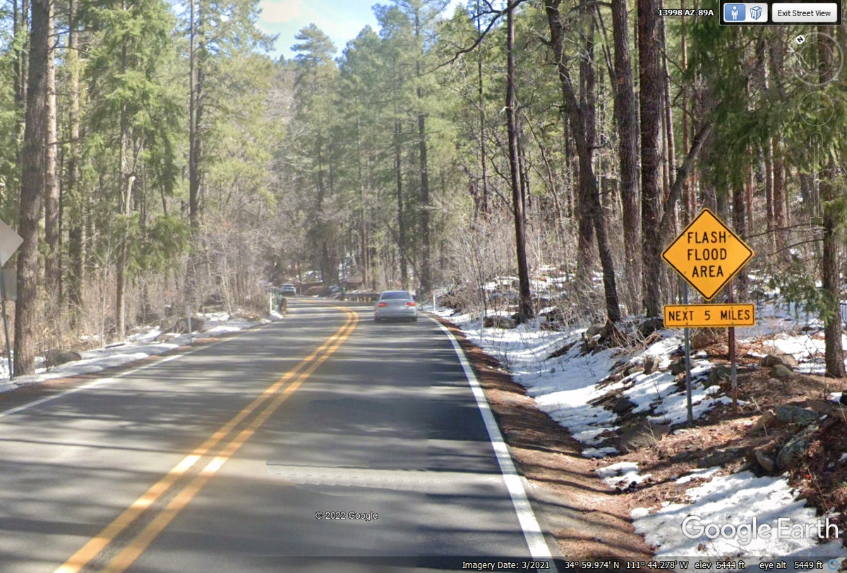
I did not expect this FLASH FLOOD WARNING up on a mountain.
| ARIZONA and WESTWARD - PAGE16 | RETURN TO WESTERN TOUR INDEX PAGE |
