May / June 2022 Vacation Day 7 · · PAGE 14.
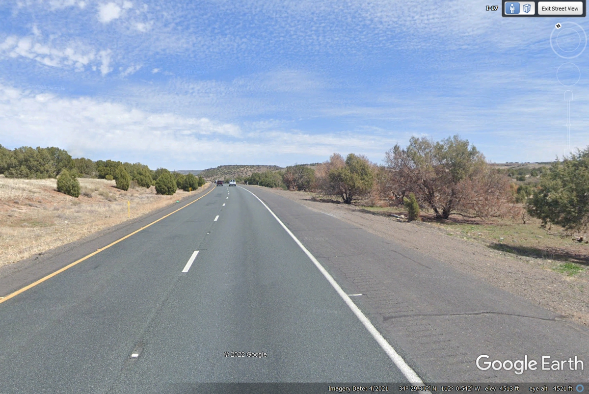
May 29, 2022: I-17 climbs above
4.500
feet before heading back down to lower levels.
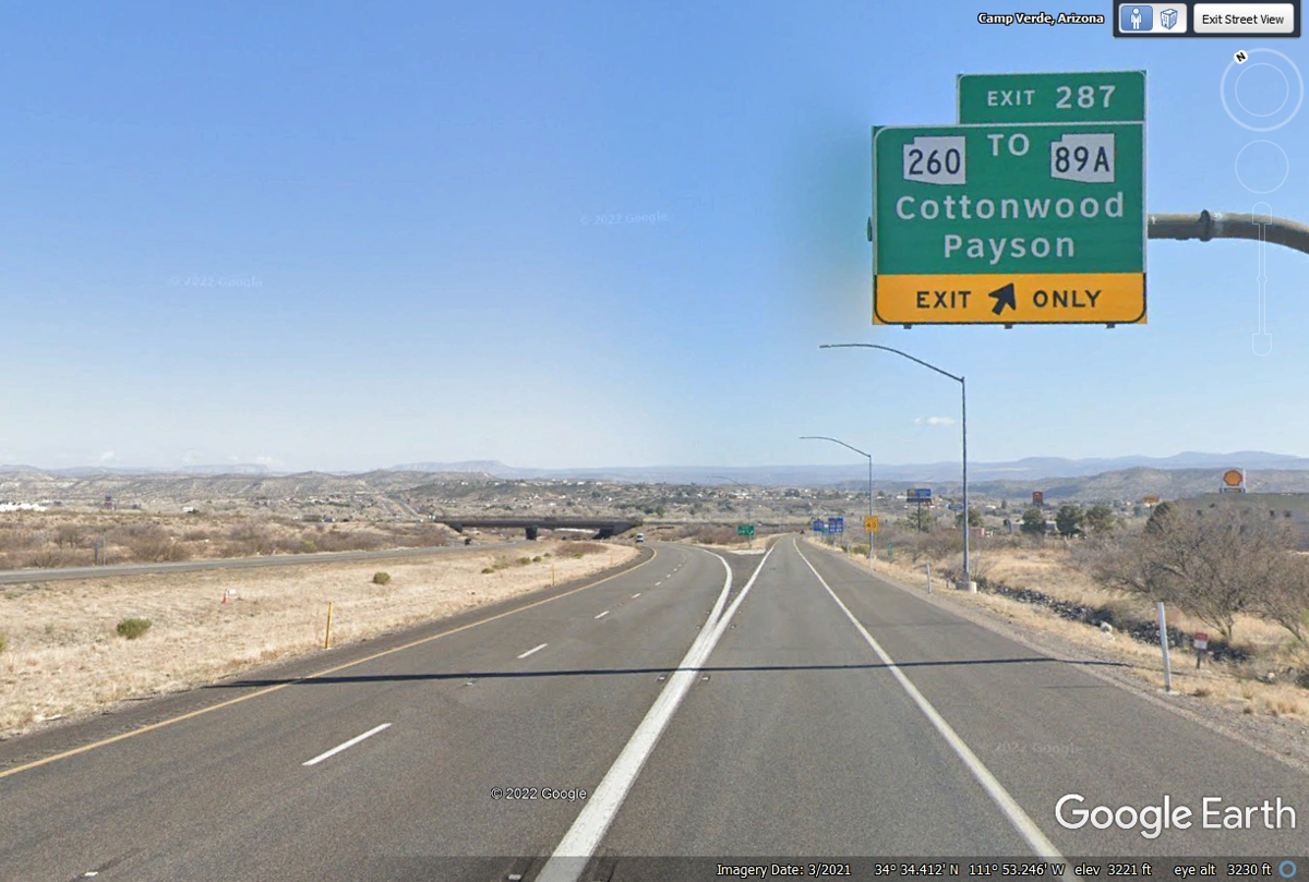
Our trip north in
Arizona gets off Interstate 17 to see the sights on state highway 260 going to
Cottonwood, Arizona then turns north on US 89A to Sedona, Arizona.
The sign on the exit ramp points toward Wendy's on the west side of the
freeway.
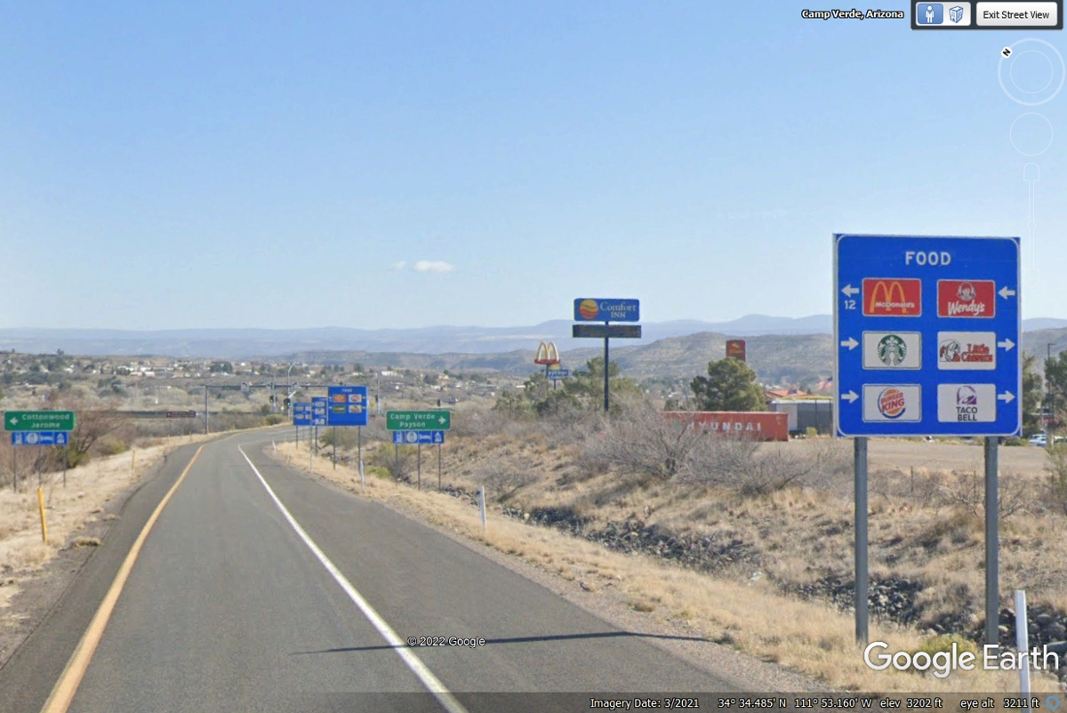
Access to Wendy's is to turn across the divided highway going to the
Chevron station. Wendy's is on the end of the station closest to the
interstate highway. This is our lunch stop today. The
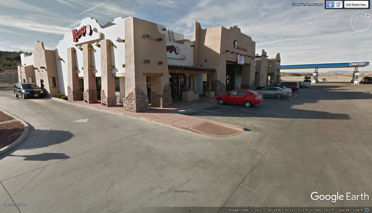
"leaning" walls in this image are the result of me trying to get too
much in this Google Earth image below. Linda wanted to wash the dust off
her car we picked up coming across Texas, New Mexico, and Arizona. There
is a self-service car wash in the next block of the frontage road on the other
side of the Chevron station seen at the right side of this image below.
She managed to dislodge the deer warning whistle on the front right side of the
grill works below the hood of the car. The deer whistle was not broken,
but the double-sided tape was ruined. The whistle went into the glove box
for now until we can get better tape.
The distance to the intersection with AZ route 89A is about 12 miles west
of I-17. We turned north to follow 89A to Sedona and Flagstaff.
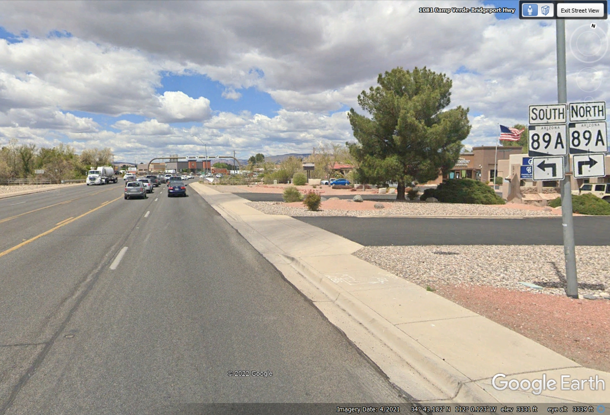
Arizona route 260 ended at this intersection with Arizona 89A. We
turned north to get to Sedona, Arizona. It is less than 19 miles from the intersection seen
below at Cottonwood, AZ.
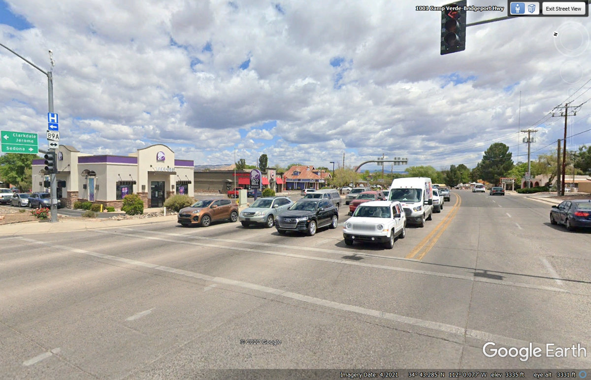
Taking good photos in the Sedona area is all about sun angles and cloud
cover. This image from Google Earth meets the requirements.
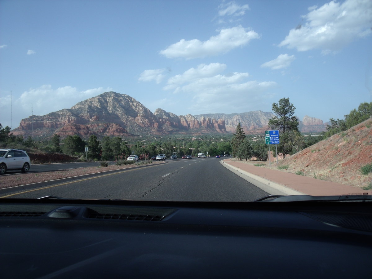
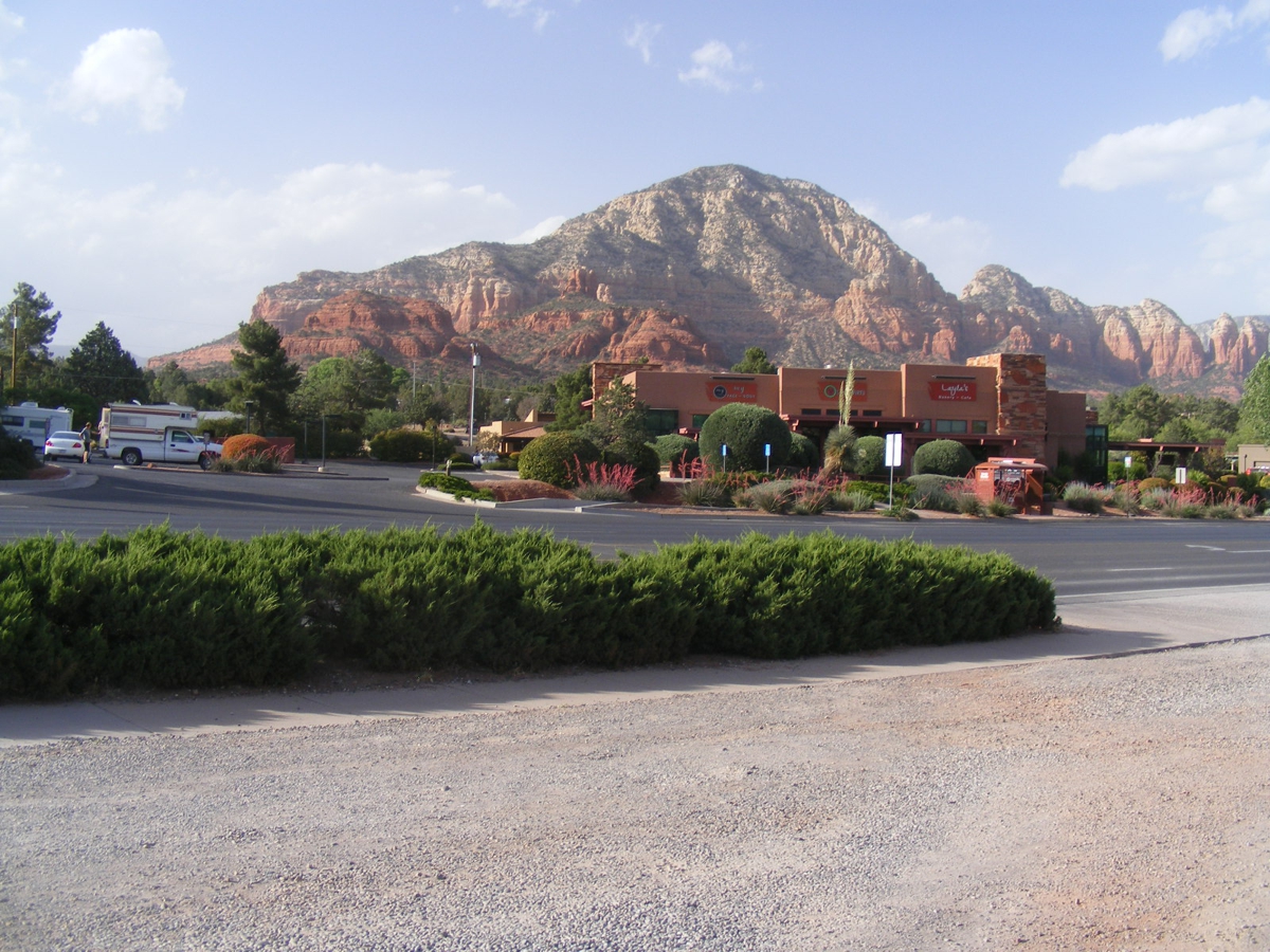
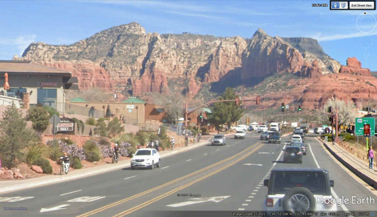
Linda took the first image of the mountains that surround Sedona, Arizona
as we topped the hill where the city begins. It was afternoon when we
arrived on May 29, 2022.
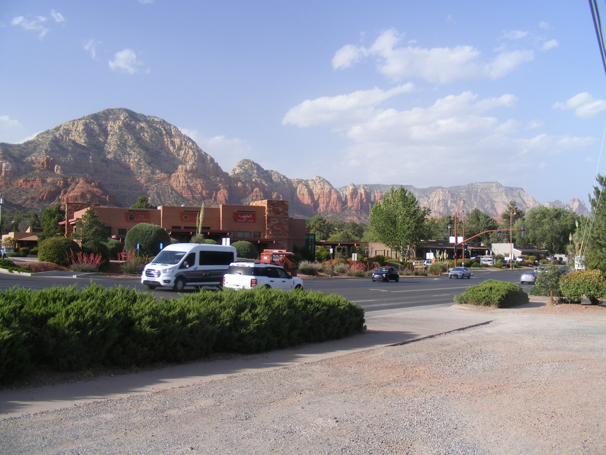
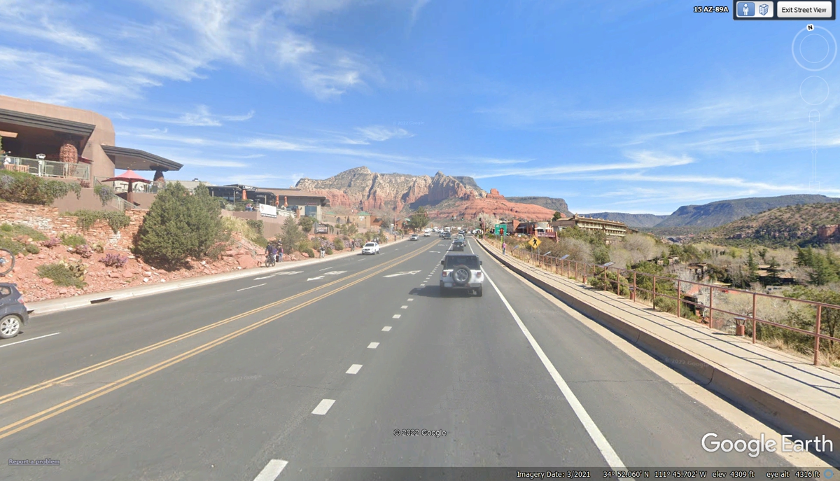
I pulled the car off the highway to take this photo with my camera.
This is my second image with the camera turned a bit to the north.
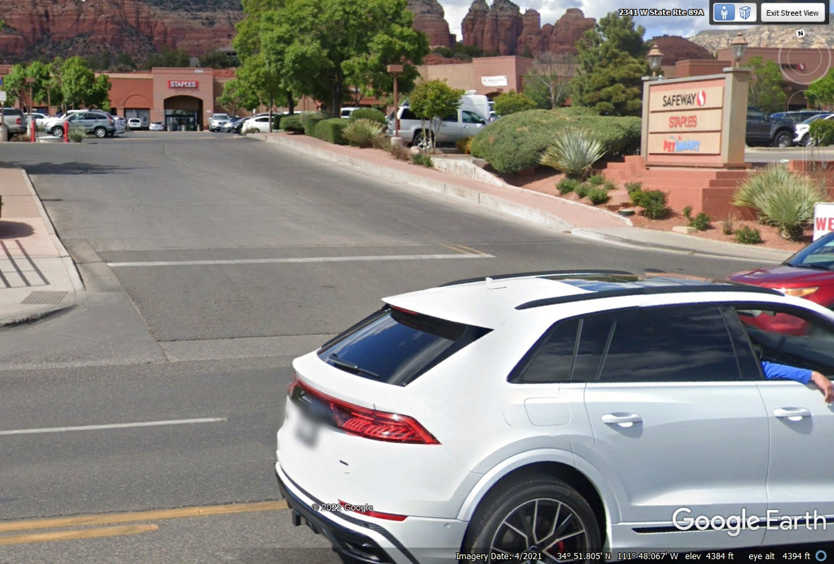
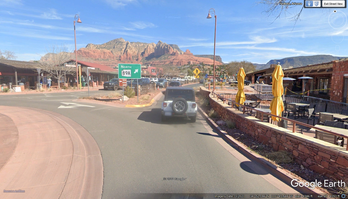
Sedona has a sign ordinance to keep them small by the street and on the
buildings as seen here.
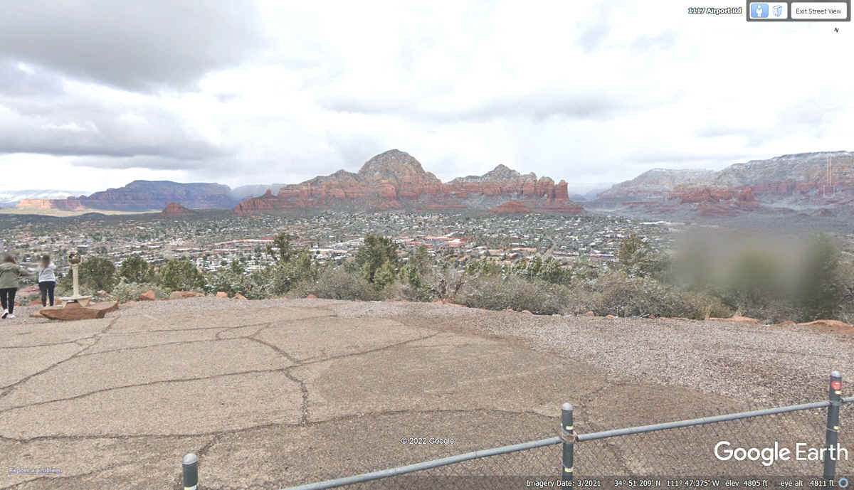
The Sedona Airport is built on top of a mesa and reminds pilots of what it
looks like to land on an aircraft carrier at sea.

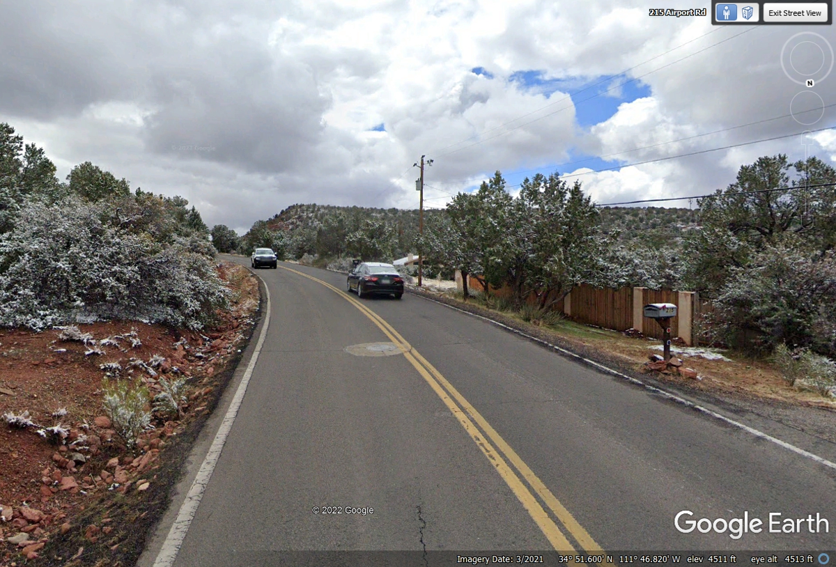
This image with snow came from March 2021 going up to the Sedona Airport.
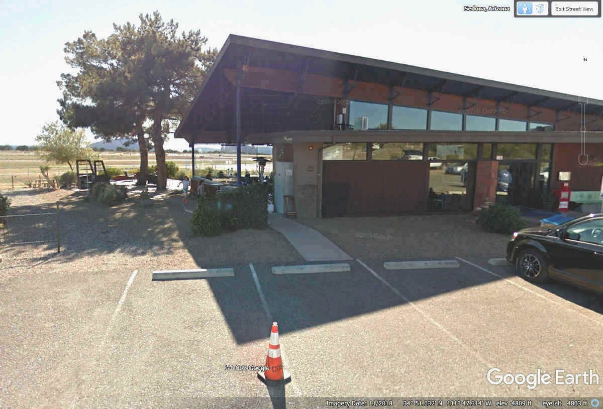
The Sedona Airport Restaurant has outside dining which is good for us.
Linda's dog Chase can sit next to us in the shade. No matter how good it
looks, the menu prices I saw on their web site were way too high for our budget on this trip. So
much for that idea, which is why we stopped at Wendy's down by I-17.
Departing the restaurant, the view at the top of the road that starts down
to the valley below reveals the colorful rock formations in the peaks and
mountains in this area.
The images from Google Earth from March 2021 shows light snow has
accumulated on the day their vehicle gathered the images on this page. The
elevation here is 4,800 feet which is cooler than in the valley keeping the snow
up here when there may be none down below.
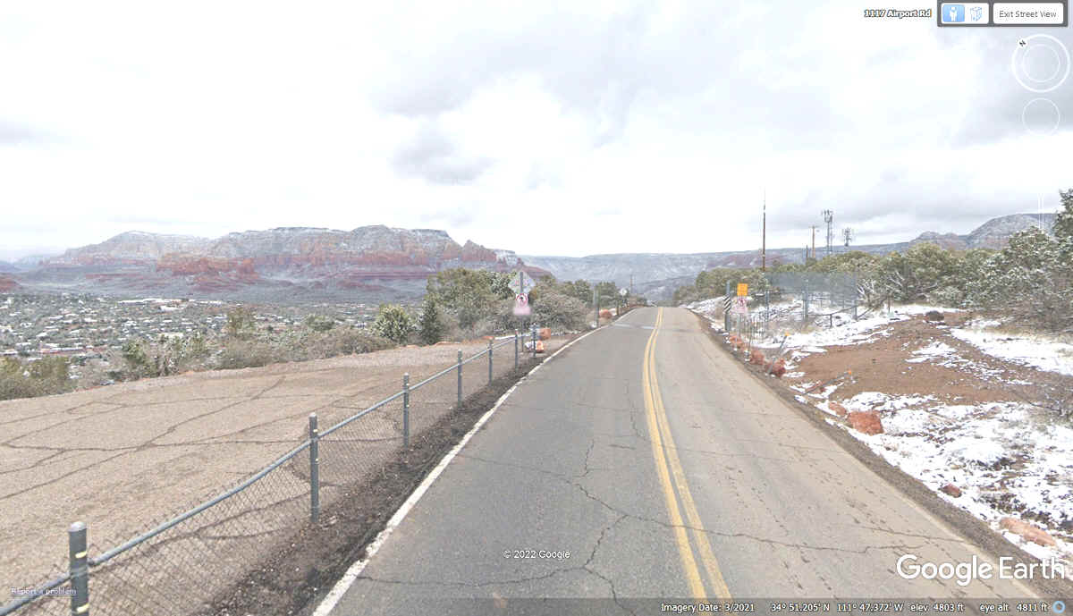
The sunlight coming between the scattered clouds affects the colors of the
locations seen ahead from this point on Airport Road..
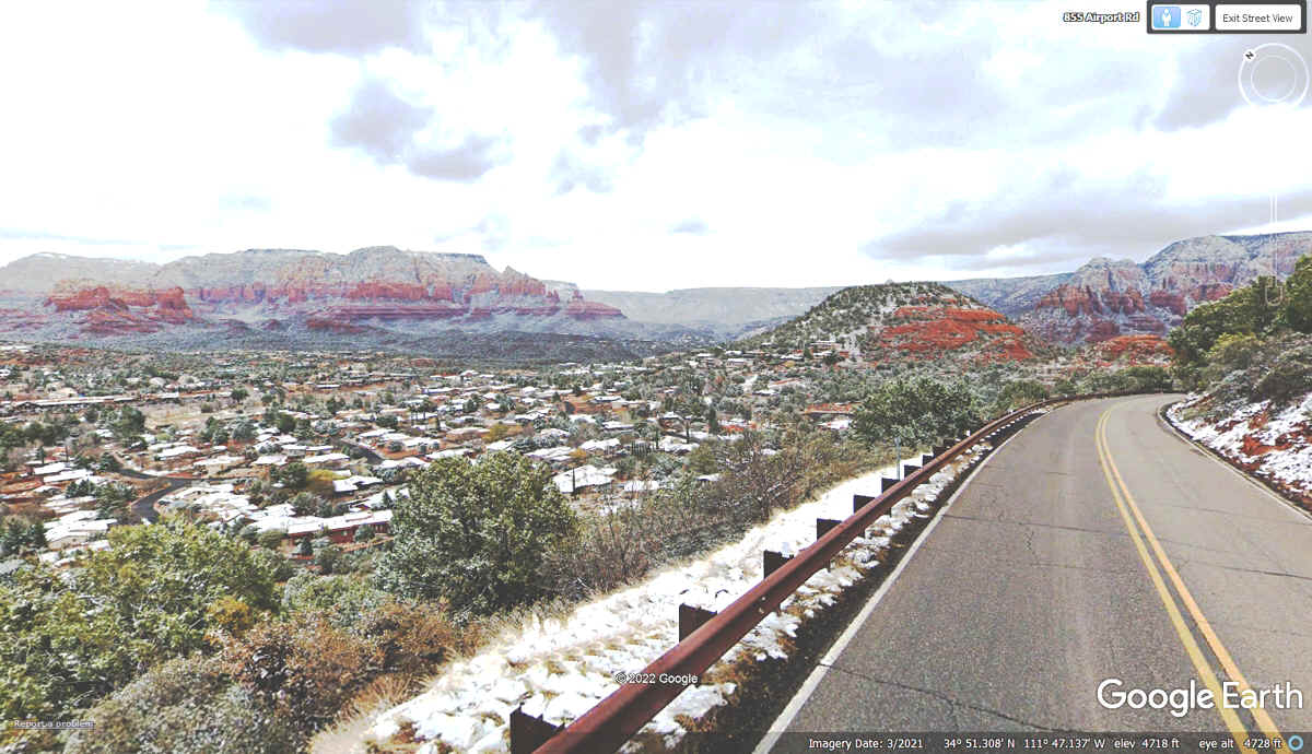
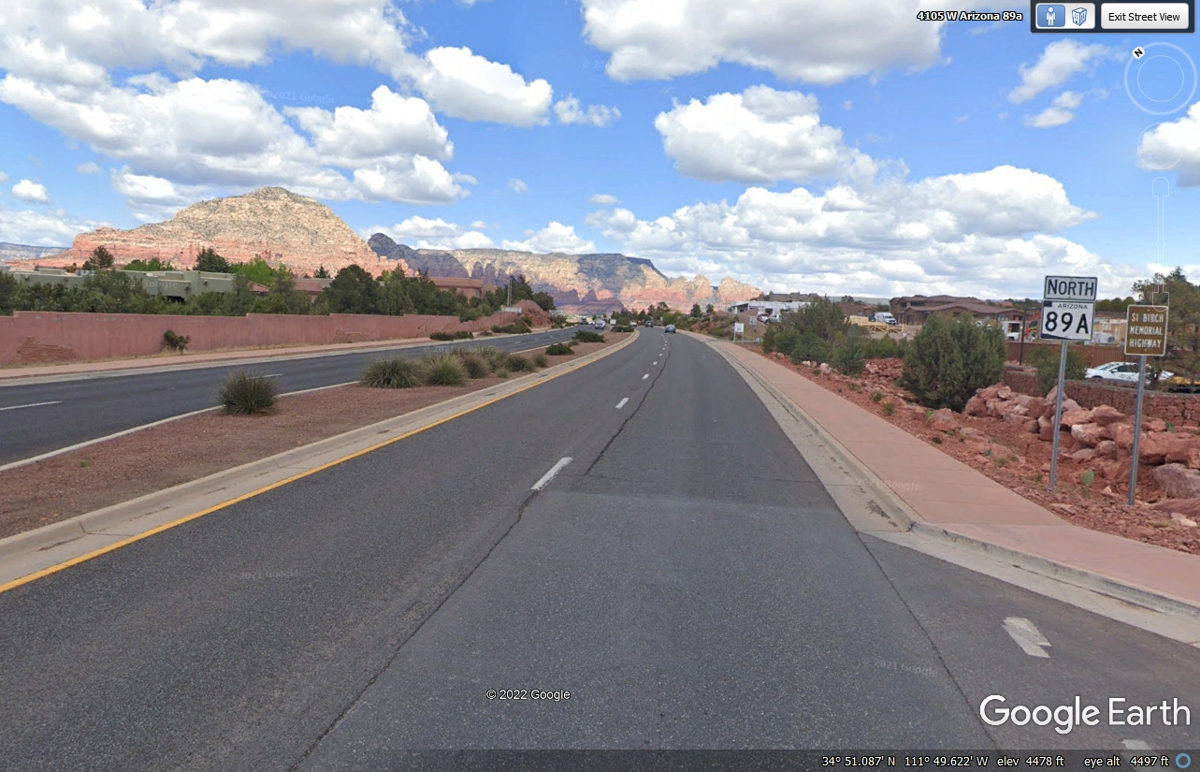
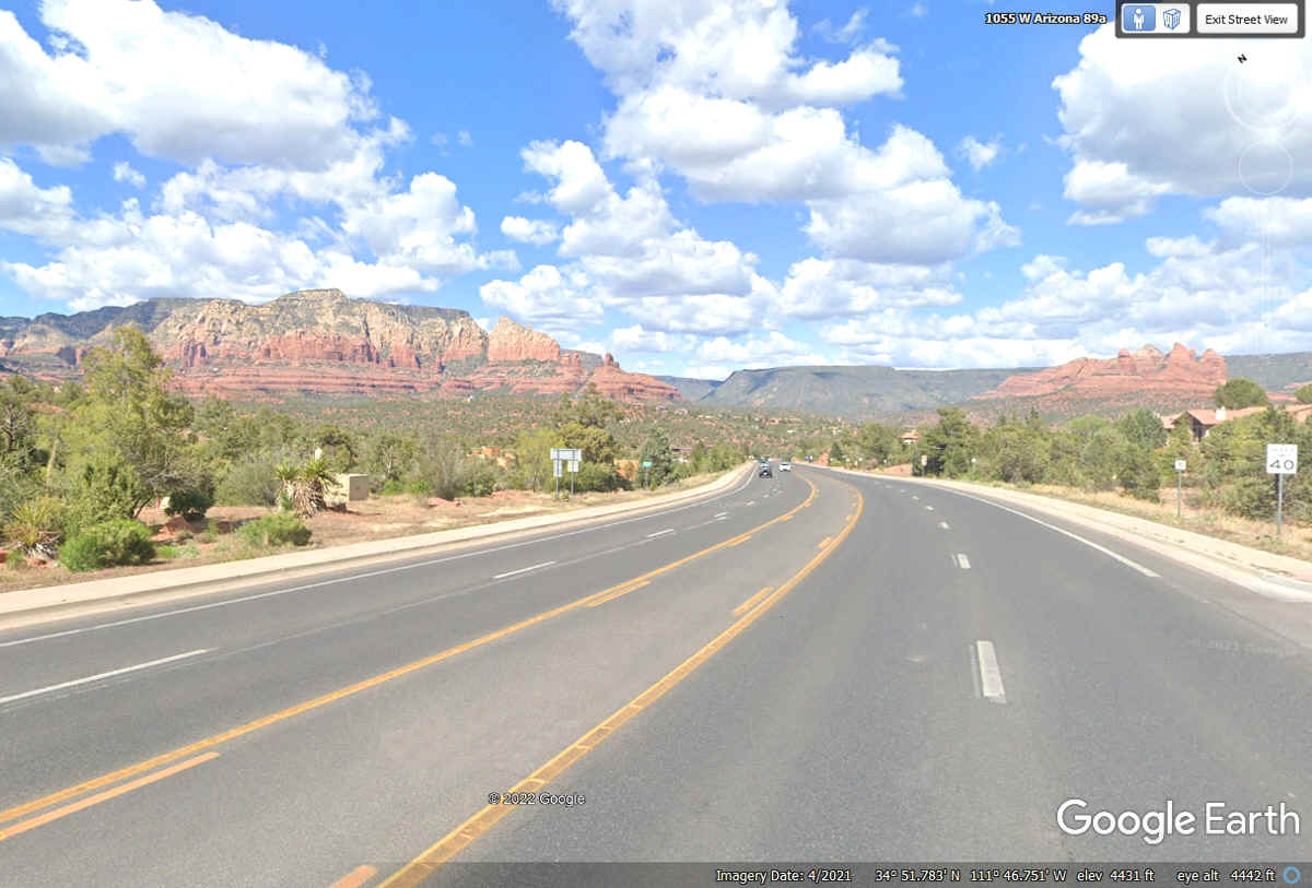
This image below is from April 2021 and lower in the valley at 4,430 feet
elevation. The snow is gone, the air is clearer making the colors
brighter. This is route 89A north of the intersection of Airport Road.
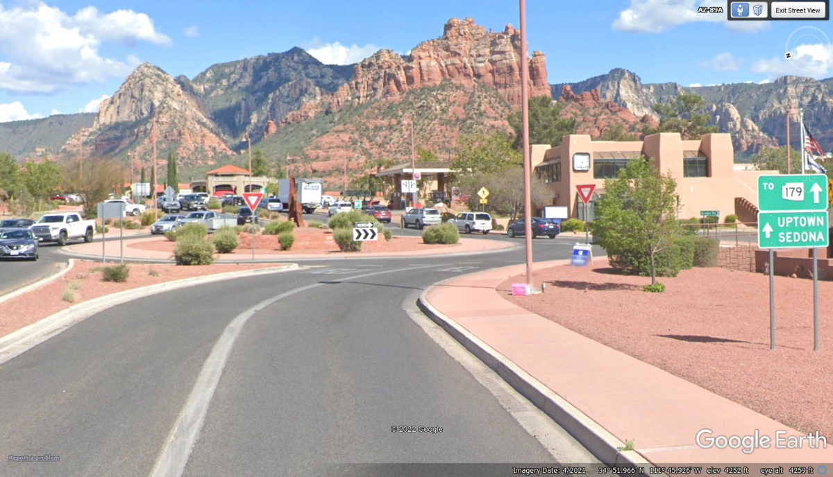
This is the first of two closely spaced traffic circles that lead to
Uptown Sedona and the junction with Arizona route 179 that leads to I-17 north
of where we left it when we left it to go to Wendy's and Cottonwood.
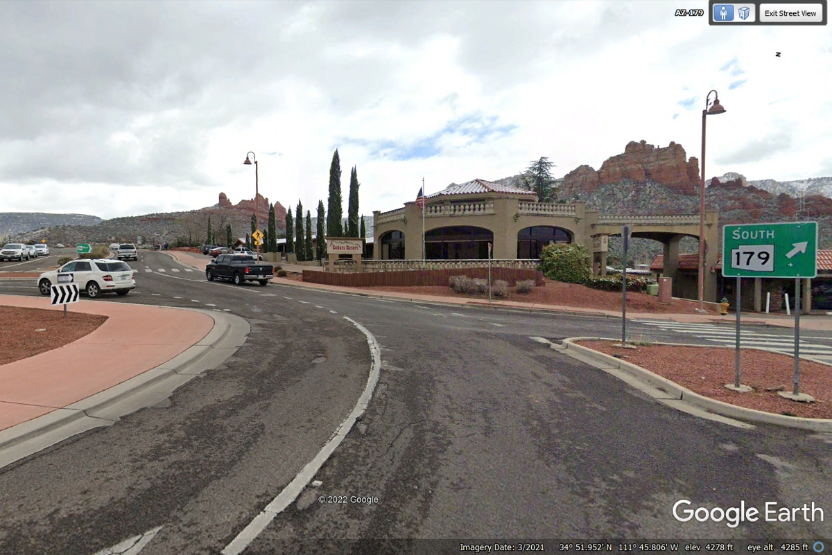
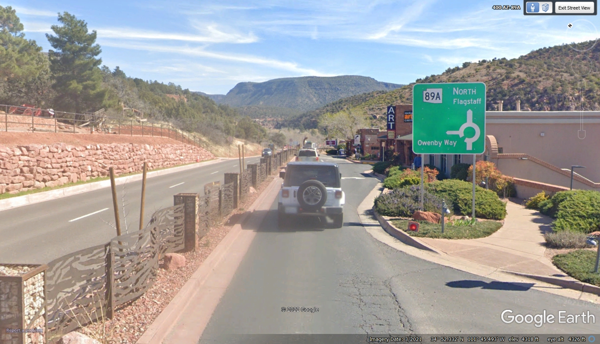
The second traffic circle has the connection to AZ 179 going south.
AZ 89A continues north across the other side of the circle into Mormon Canyon
where Oak Creek is the stream coming from the canyon and runs along 179 toward
the interstate highway.
This sidewalk has information plaques about this area for the pedestrians
who walk here to admire the view.
This second view of North Sedona shows sidewalks with pedestrians on the
northbound side and bicycles on the southbound side. This image is looking
north.
The image above is zoomed in to show details of the street scene.
This image below is the same, but with no ZOOM level lower to show the wider
landscape.
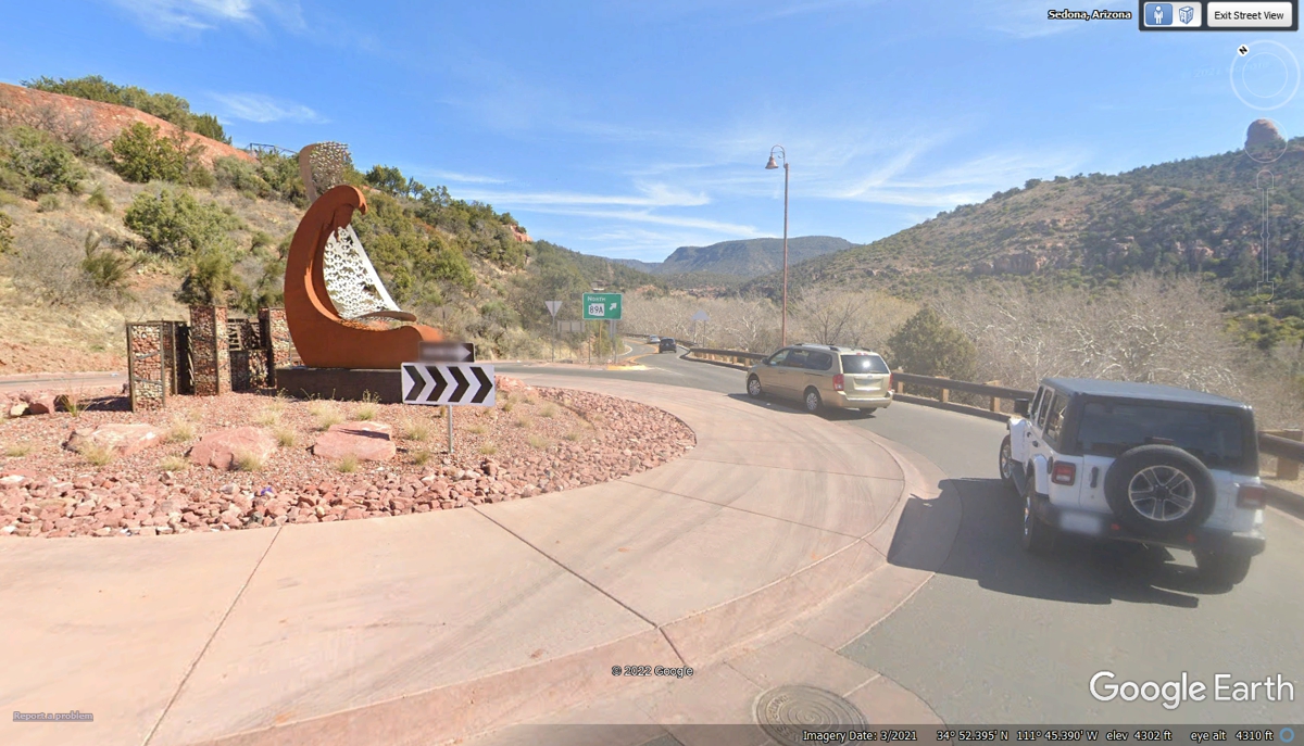
This image from March 2021 shows a traffic circle that was not in the most
recent aerial image for this location. There are businesses on both sides of
the road here.
This image is approaching the end of UP TOWN Sedona since the GREEN road
sign is showing the last traffic circle ahead.
The last few business locations are close to the fourth traffic circle at
the north end of Sedona.
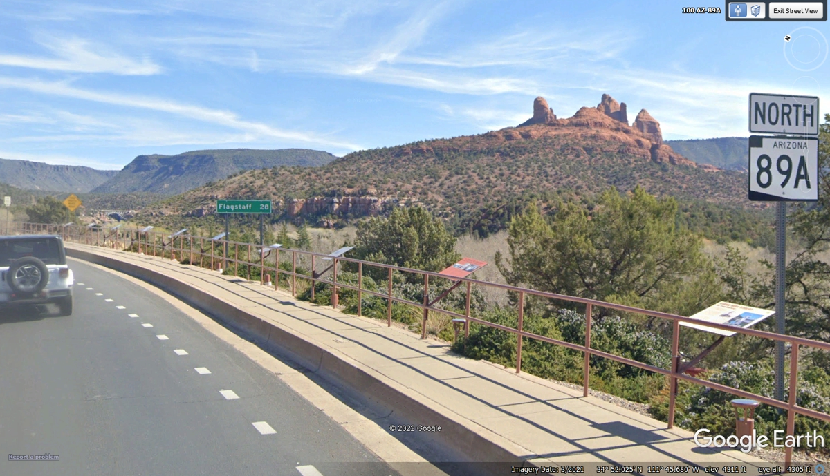
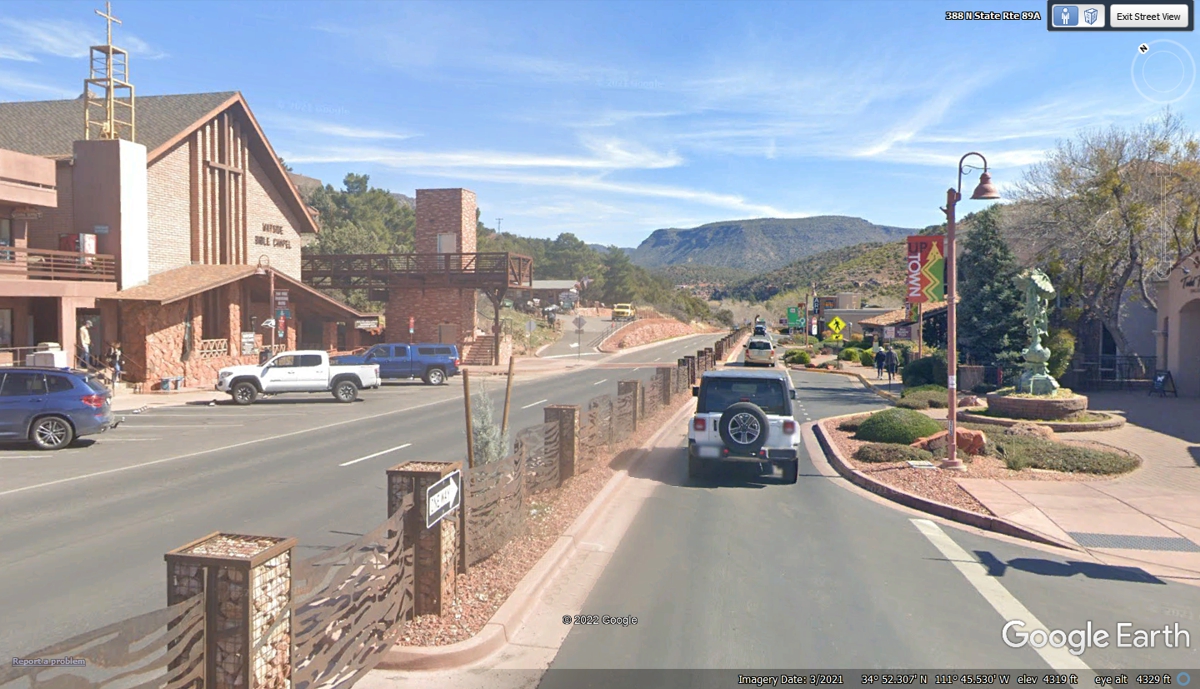
Here comes the open road as we leave Sedona behind us with our next stop
at Flagstaff, Arizona.
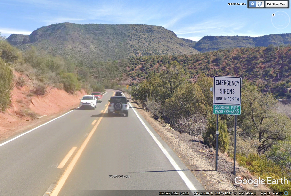
The county is safety oriented with these signs and a local radio station
for details.
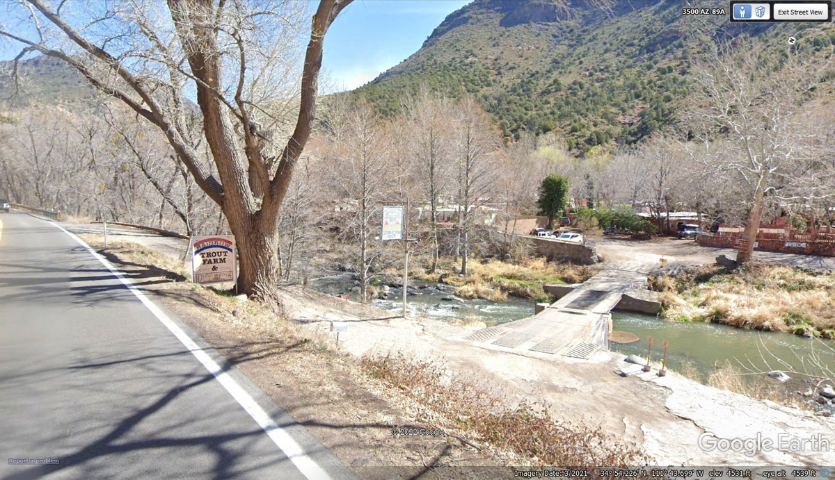
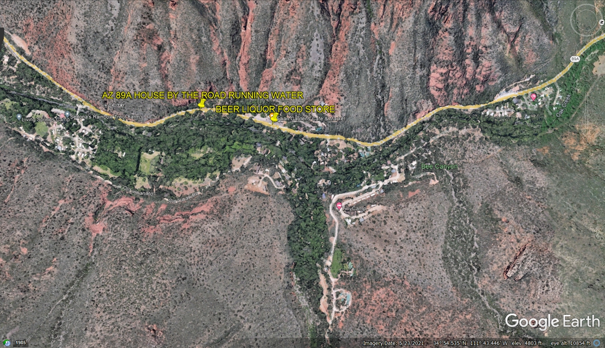
When you have a creek flowing past your land on the other side from the
road, you raise Rainbow Trout in that clear water. Having fisherman pay
for a good spot to catch those fish is a good return on investment.
A house by Oak Creek with "running water" and electricity is
good. The fireplace sets the indoor atmosphere on a snowy winter night.
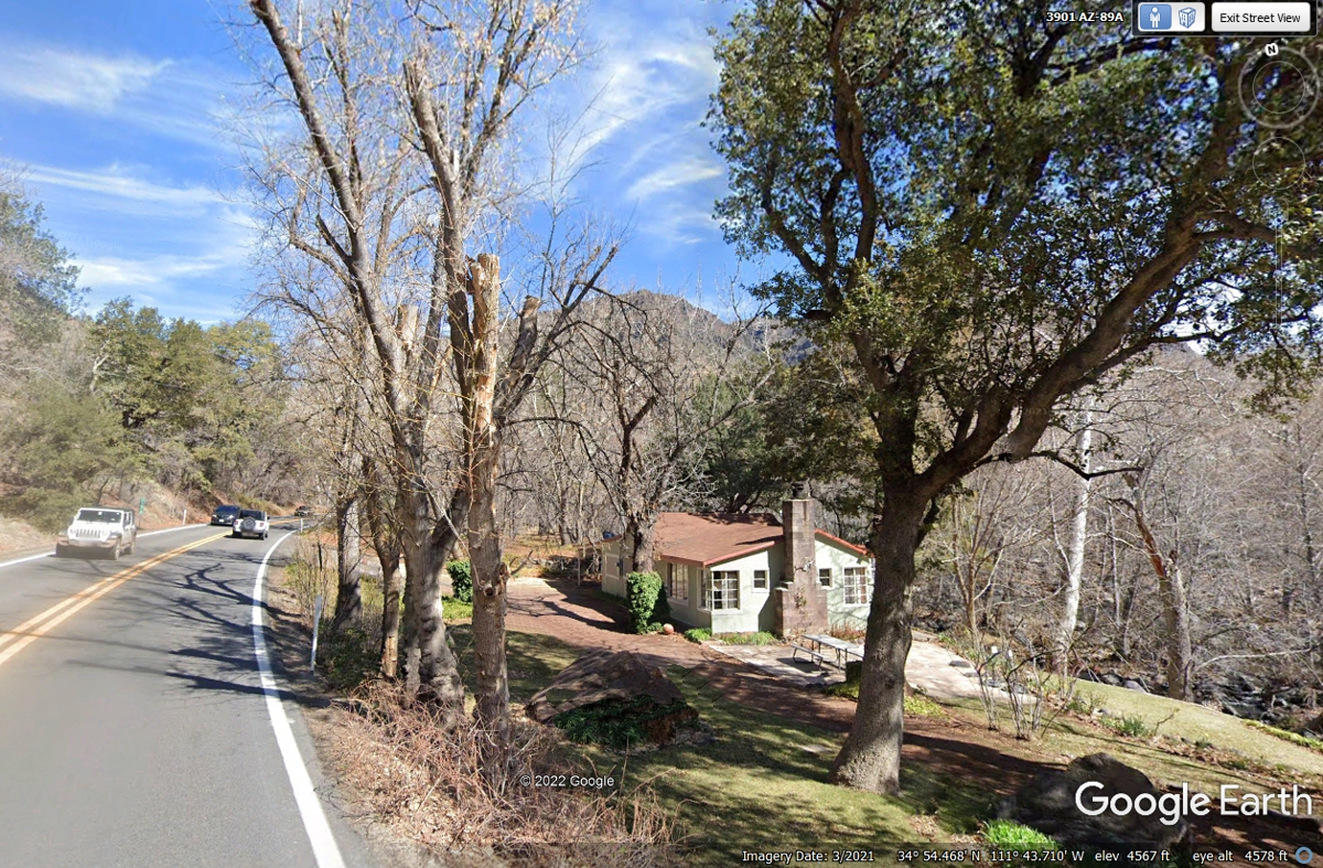
This place is less than five miles north of Sedona and there are some
homes in this part of the valley.
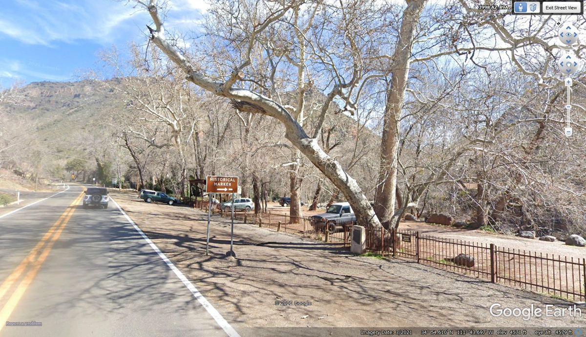
Here is the view on the other side of the road from the buildings seen in
the image above.
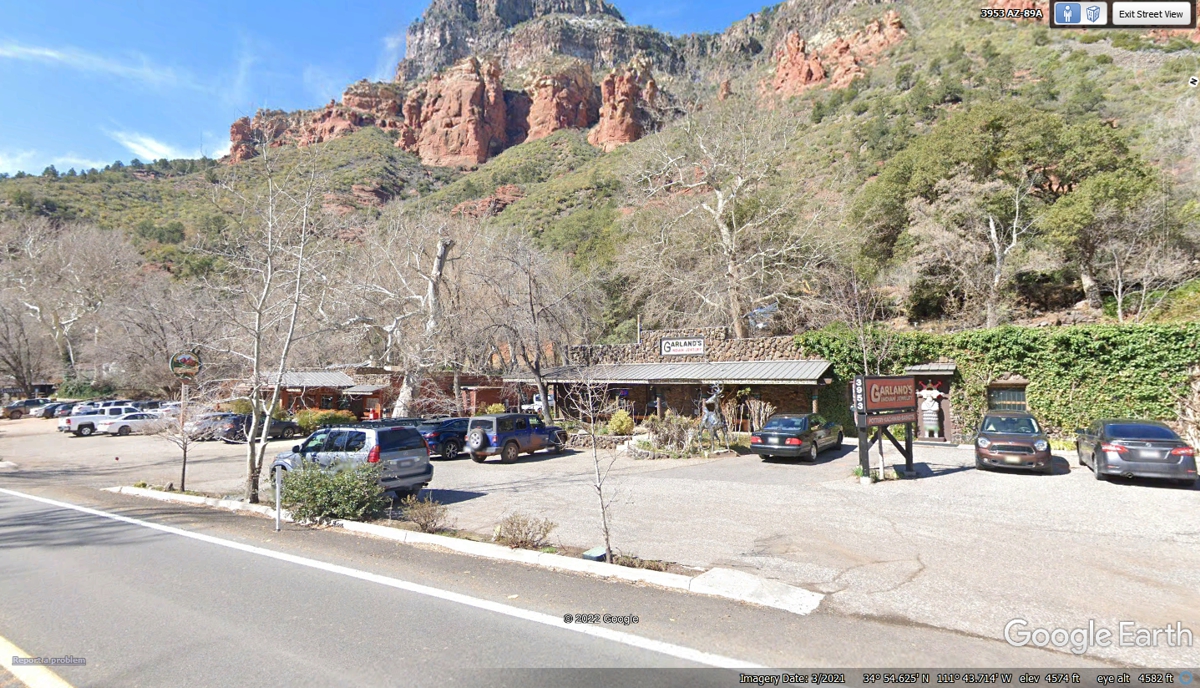
Some wide areas on the valley floor above the flood plain of Oak Creek
becomes a natural place to build infrastructure where people gather.
| ARIZONA and WESTWARD - PAGE15 | RETURN TO WESTERN TOUR INDEX PAGE |