May / June 2022 Vacation Day 5 · · PAGE 11.
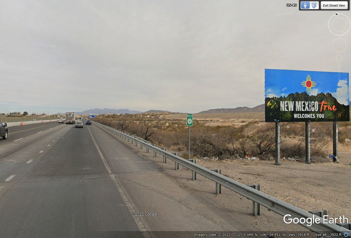
May 27, 2022: Finally, we leave TEXAS
behind us at the Interstate 10 mile marker ZERO for sure and the Welcome sign to
New Mexico heading to our motel tonight in Las Cruces, New Mexico.
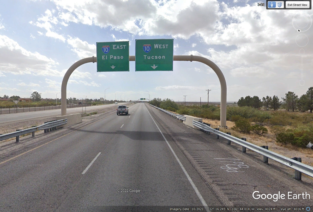
This turn to the west by Interstate 10 and the southern end of I-25 going
north is about 20 miles north of the Texas / New Mexico state line.
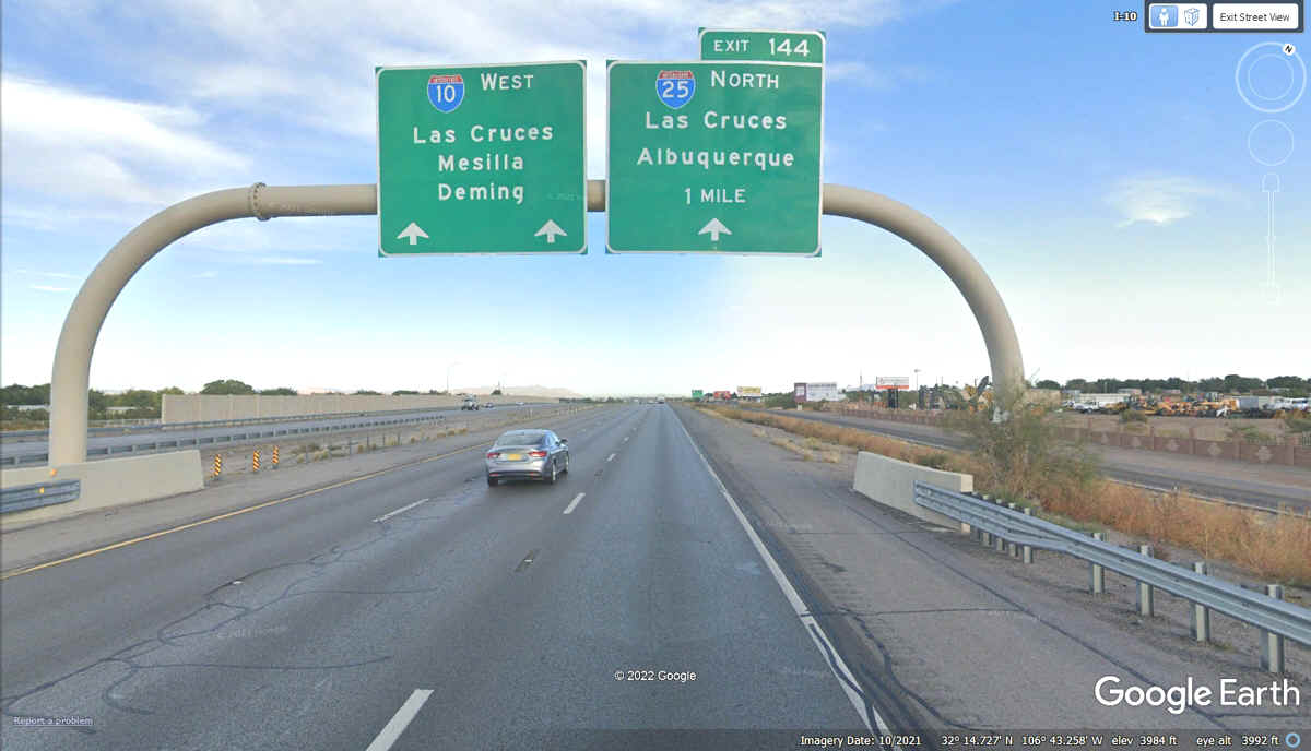
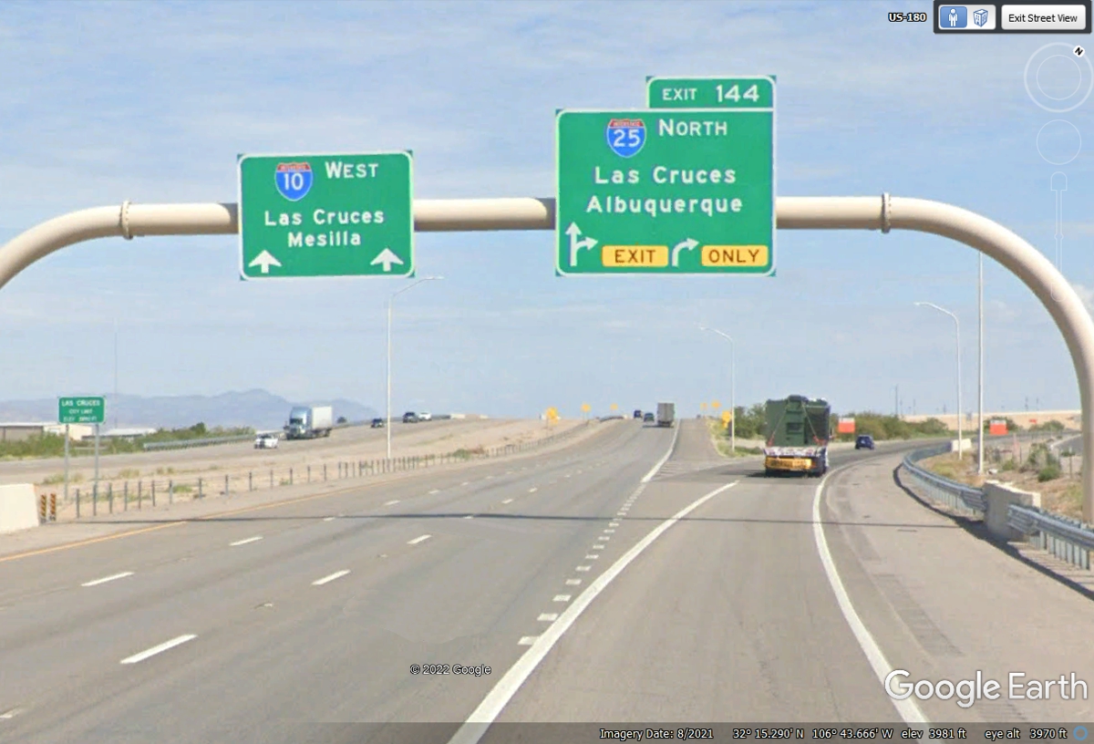
Here is the actual split for I-10 going WEST and I-25 heading NORTH.
We took the I-25 North exit to get to our motel for tonight just East of Las
Cruces, New Mexico.
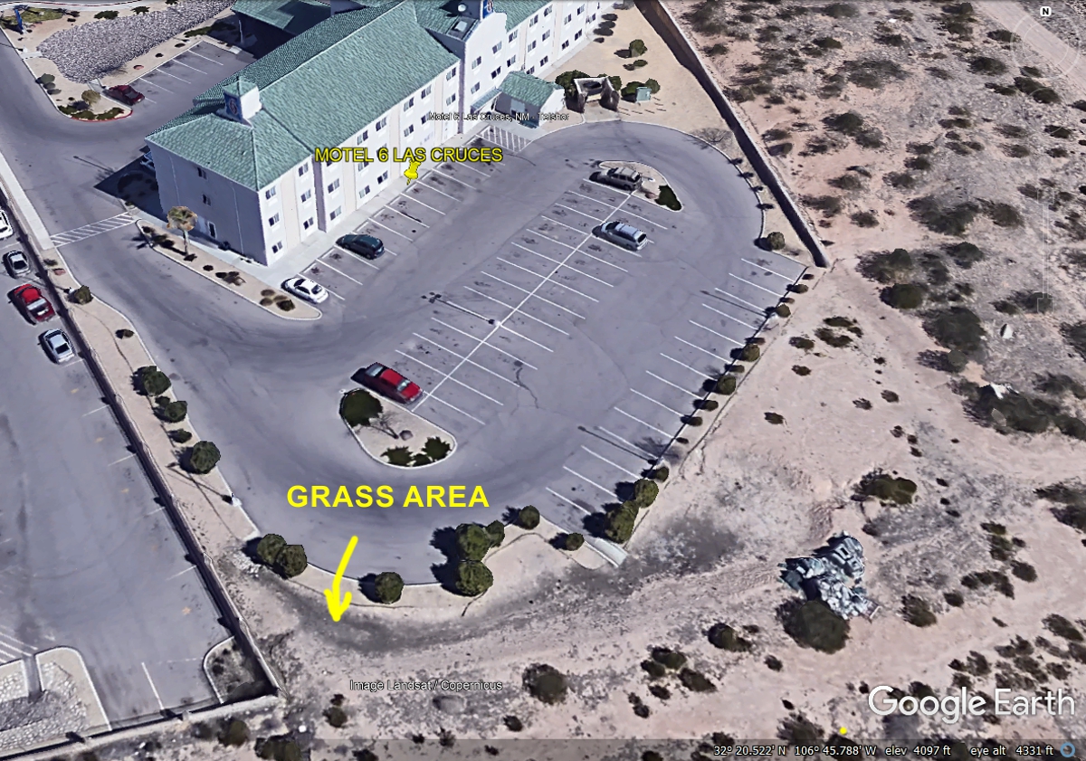
This Motel 6 is our resting place for this evening after our visit to
Carlsbad Caverns National Park in New Mexico. It is located close to Exit
2 on I-25. There was a very small amount of grass available out back for
Chase to relieve himself.
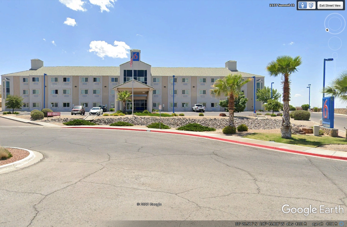
Here is the back lot of the Motel 6 seen above. When you have a dog
that needs green grass for a place to poop, you do the best you can in the
desert. There was a small area out back that passed for grass in this
environment.
May / June 2022 Vacation Day 6 · · PAGE 11.
May 28, 2022: US 70 westbound was a close
route passing by the north side a few blocks from Motel 6 to make the connection to I-25 southbound.
It is about two miles
down to the junction of Interstate 10 going west from Las Cruces.
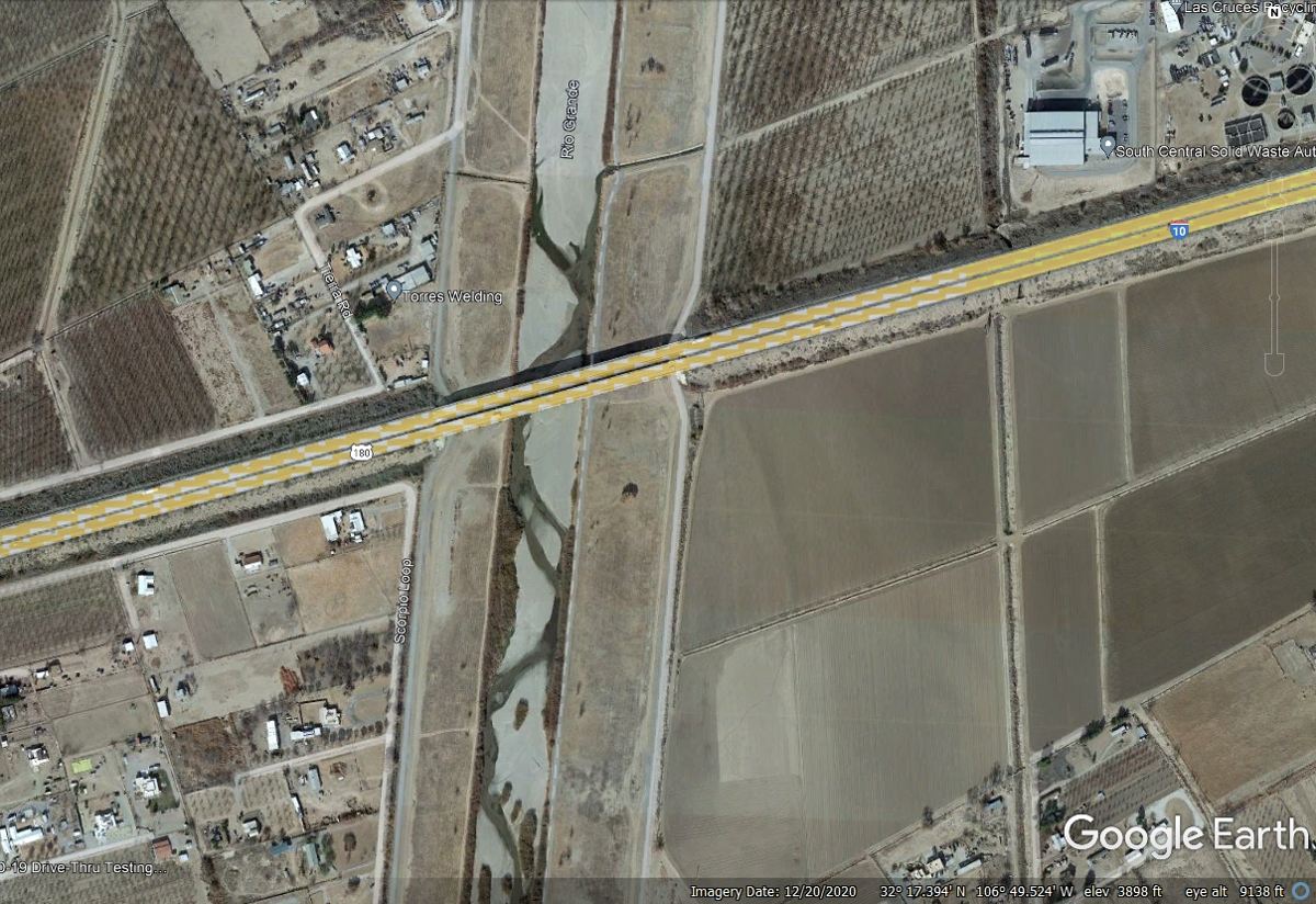
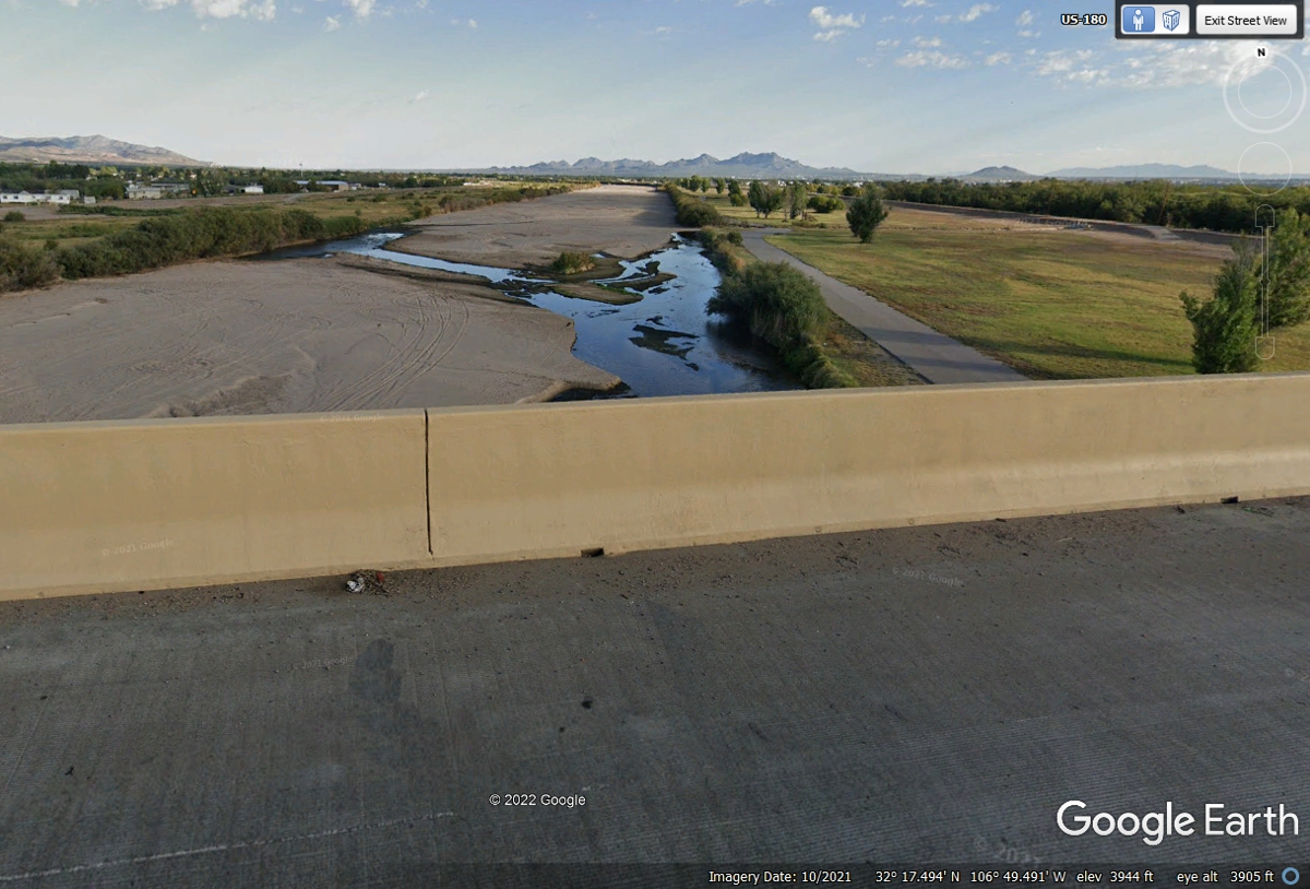
This is where Interstate 10 crosses the Rio Grande river just west of the main
part of Las Cruces, NM.
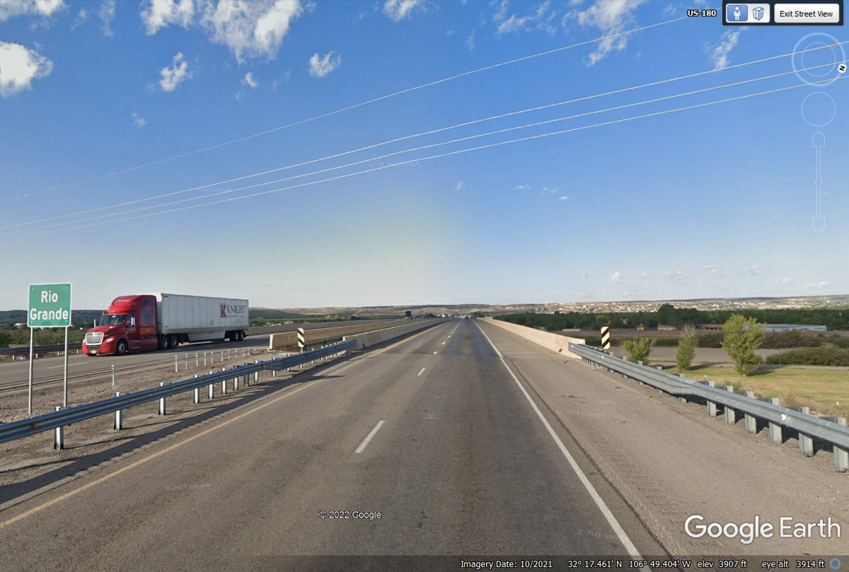
Looking down on the Rio Grande shows very little flowing water passing Las
Cruces at the I-10 bridge heading west.
The elevation on I-10 at the west end of the bridge is shown as 3,905 feet
above sea level from the Google Earth aerial image above.
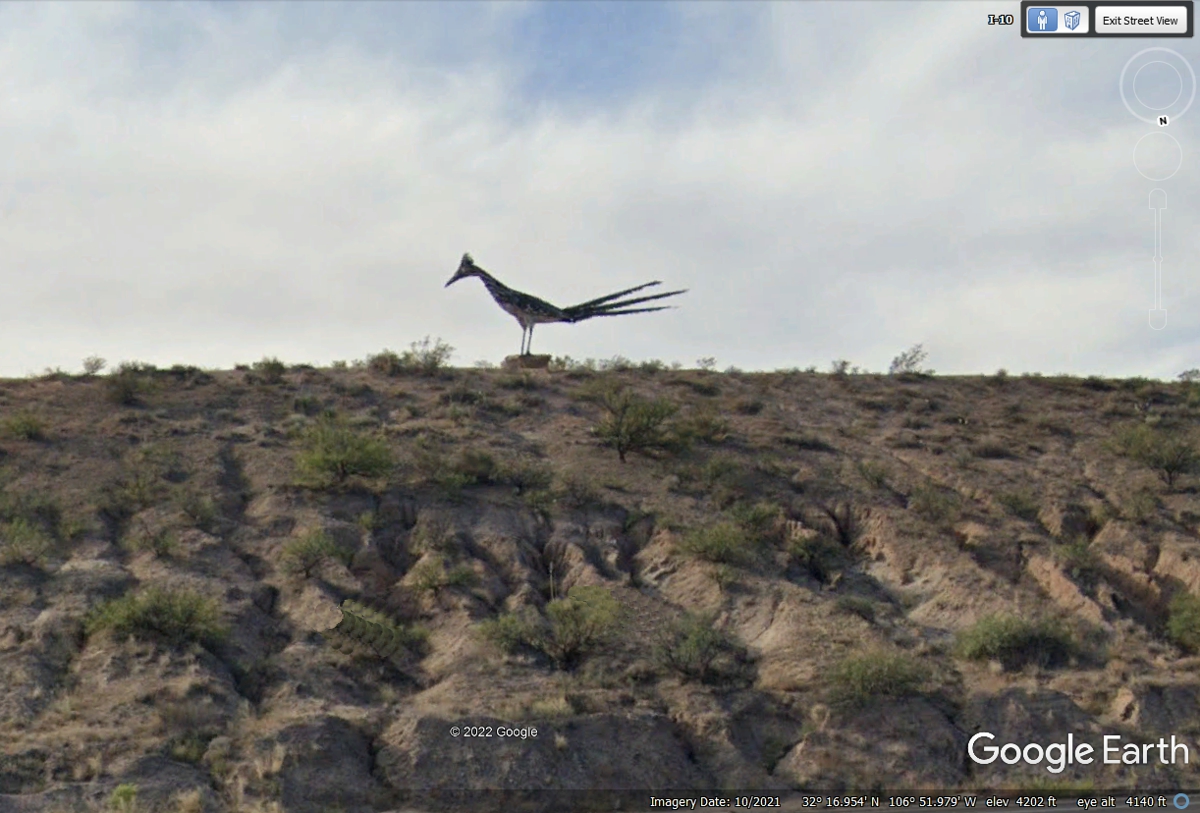
After crossing the Rio Grande, I-10 starts climbing about 300 feet as it
reaches a plateau where a rest area is on the south side of the highway with
access from the Eastbound lanes. This image from Google Earth is zoomed
from the west bound lanes. This recycled work of art is a road runner that
is 20 feet high and 40 feet in length. It is near the rest area but
perched near the crest of the hilltop seen here. Lookup "Las Cruces
Roadrunner" to see more photos. US 70 is merging with I-10 near the
top of the plateau and offers a U-Turn to I-10 East that will pass the entrance
to the rest area scenic overlook facing toward Las Cruces and the mountains to
the East of the Rio Grande valley.
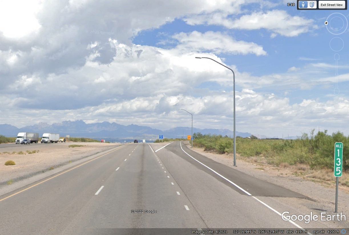
When you westbound folks have made the U-Turn toward El Paso on I-10, look
for this exit 135 going to the scenic overlook.
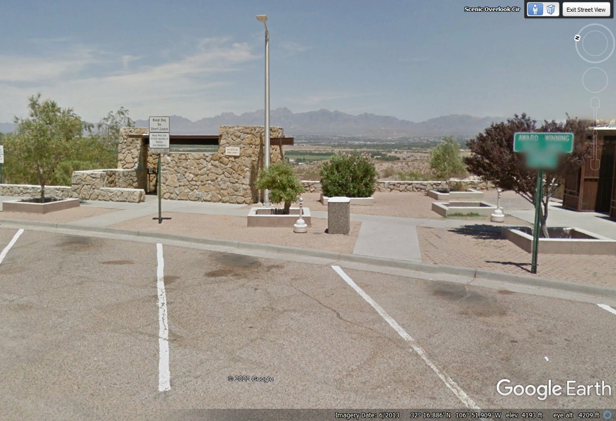
This is the area on the East side of the LOOP in the overlook rest area. Google Earth shows the elevation at 4,200 feet at this image below on top of the plateau. This image shows one of several shaded viewing locations facing the mountains on the East side of the Rio Grande valley where Las Cruces is located. The green sign blurred by Google Earth says "Award Winning Rest Area 1992". Here is web link with more information about this rest area: https://www.waymarking.com/waymarks/WMD34T_Radium_Springs_Rest_Area_NM
Here is another link with photos about the Road Runner located at this
rest area: https://inspiredimperfection.com/adventures/roadrunner-statue-las-cruces/
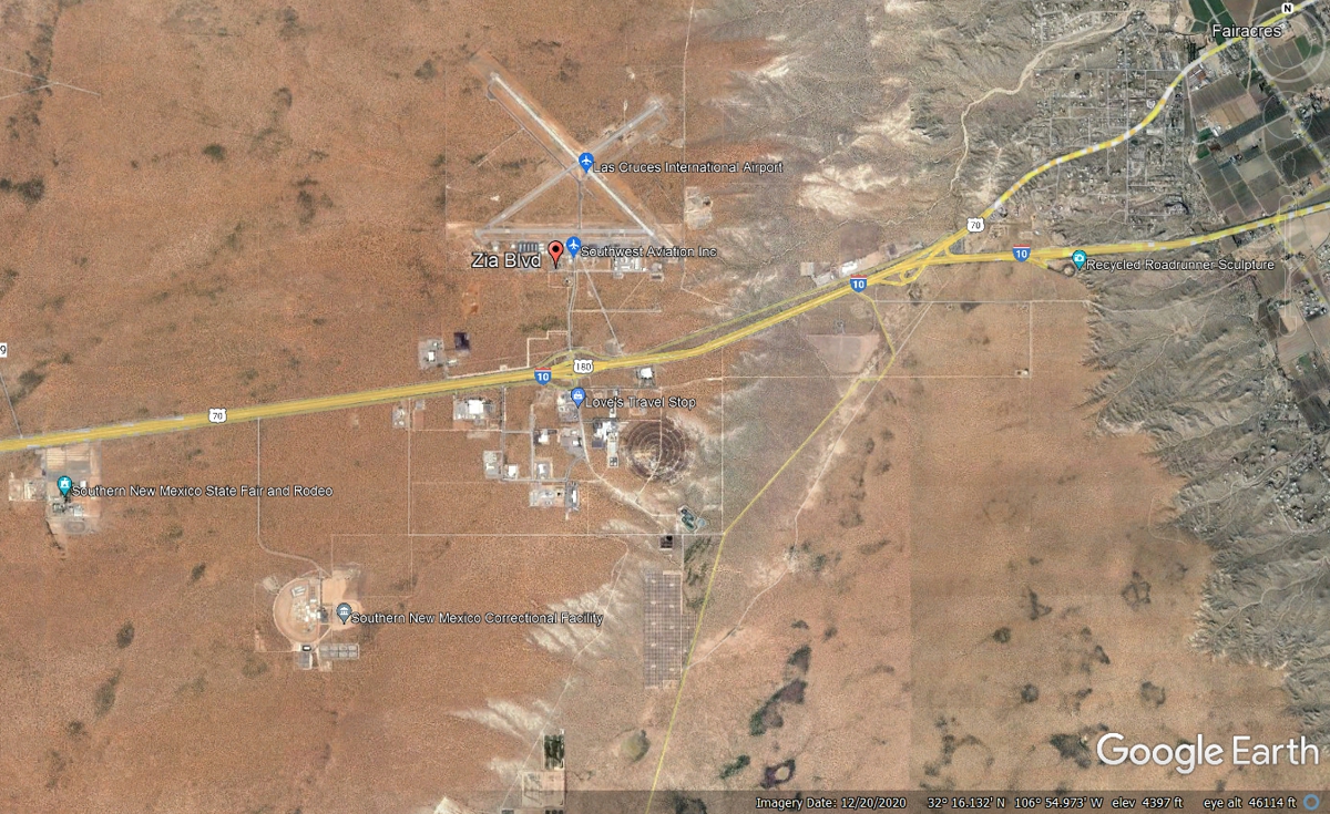
This Google Eargh aerial image shows the Las Cruces International Airport,
the rest stop overlook and other details of this area.
This image below shows the view as I-10 is approaching the top of the plateau.
The Las Cruces
International Airport is located here along with a prison and a truck stop at the
next exit.
Here is that NEXT EXIT with the Truck Stop on the left side of this
image. The airport is on the north side of I-10. A right turn at the
top of the exit ramp goes to the airport.
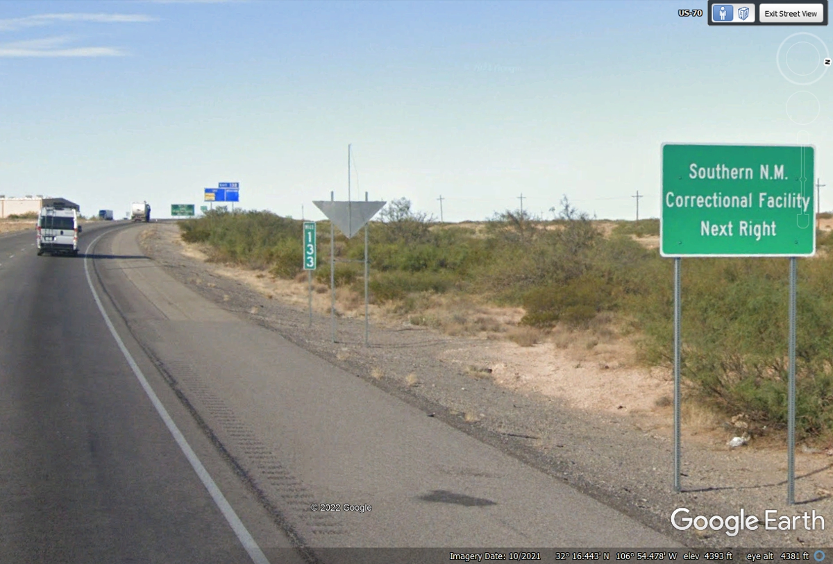
This sign near Exit 132 is about SAFETY! The location of the southern New
Mexico state fair and rodeo grounds are on the south side frontage road about
half way between this exit and the next exit a few miles ahead.
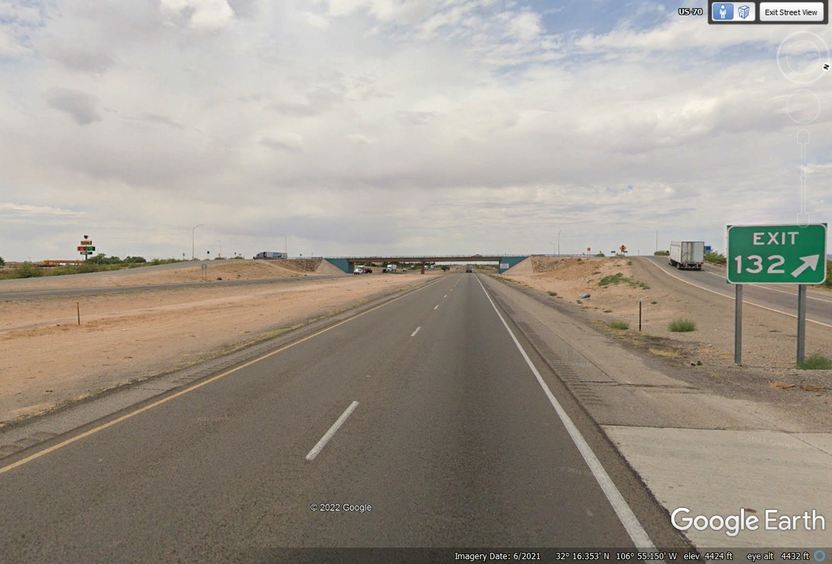
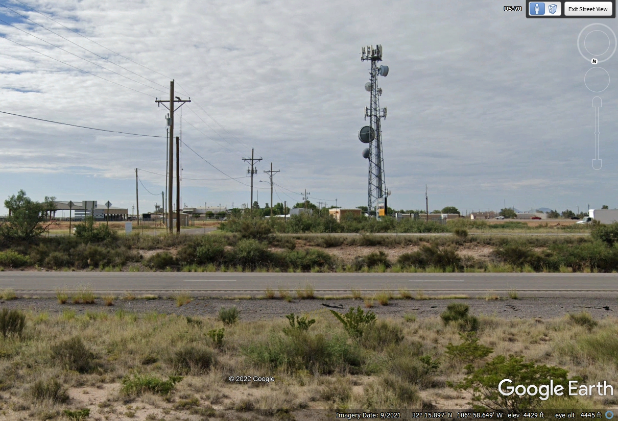
The Fairgrounds and Rodeo can attract a lot of people. This is also
high ground adjacent to Interstate 10 and the right place to have cell phone
antennas on that tower connected to other cell towers by the round terrestrial
microwave antennas on this structure.
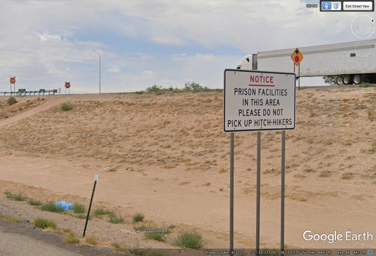
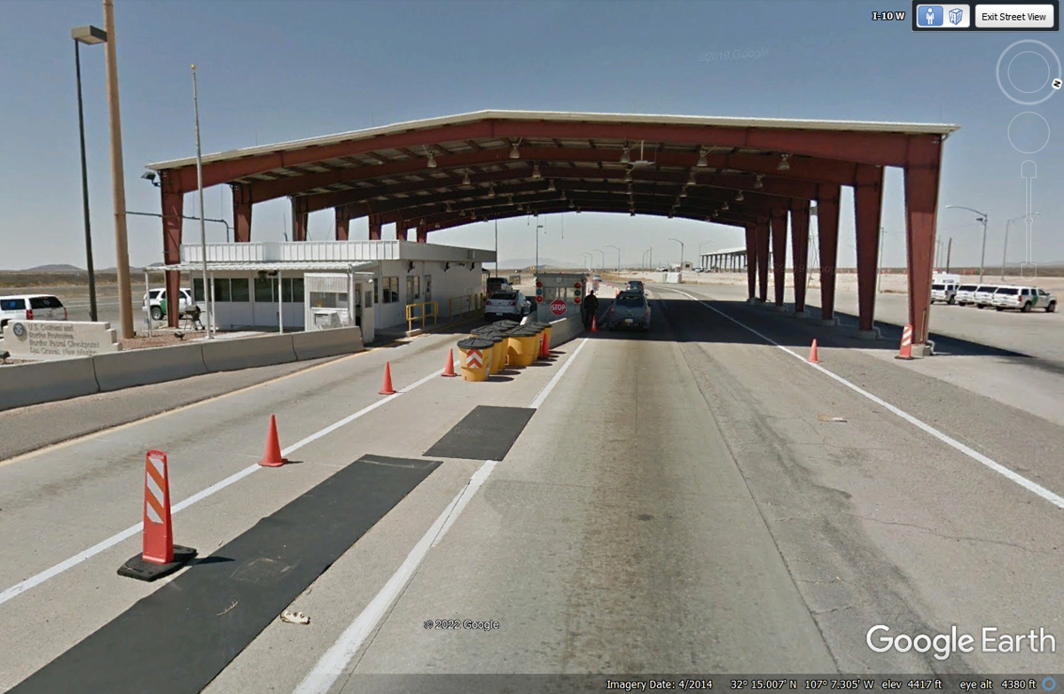
There are US Customs and Border Patrol check points along roads near the
Mexican border. This check point serves south central New Mexico. I
passed through a similar check point when I went down Interstate 19 to Fort
Huachuca, Arizona near the border south of Tucson on a business trip for my day
job a couple of years ago.
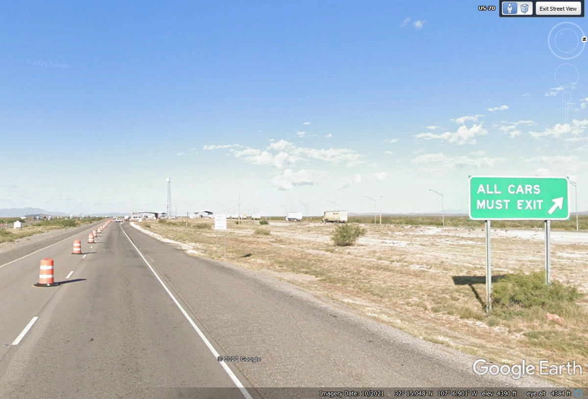
This Border Patrol location is between I-10 mile markers 120 and 121.
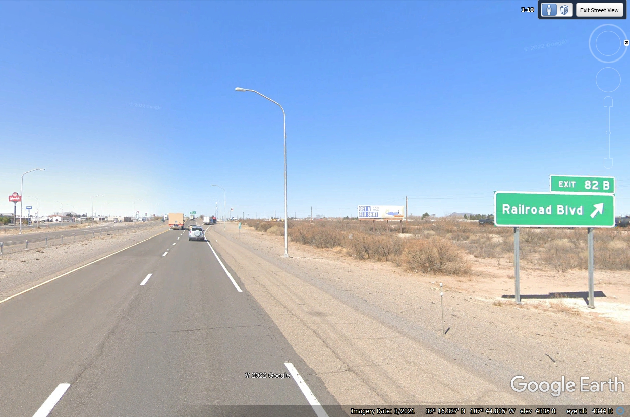
Deming, New Mexico is about 58 miles west of Las Cruces on I-10. A
Wal-Mart and Wendy's are on the same street less than two blocks from this
exit. McDonalds, Burger King, Kentucky Fried Chicken, Pizza Hut, Sonic,
Chinese and Mexican restaurants are also found in Deming. The truck stops also
have food.
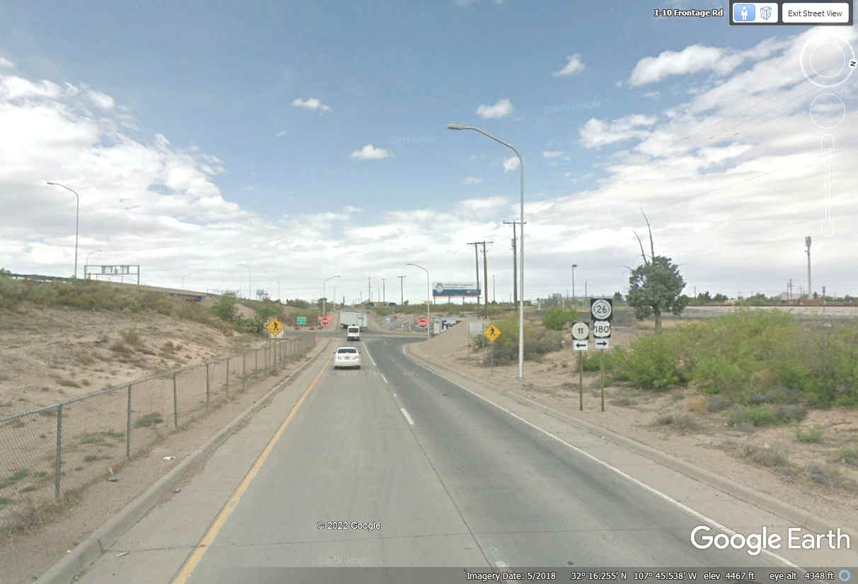
Exit 82A is where US 180 departs from I-10 and heads northwest after
running about 350 miles from Seminole, Texas with US 62 and I-10. We will
be seeing more of US 180 in Arizona.
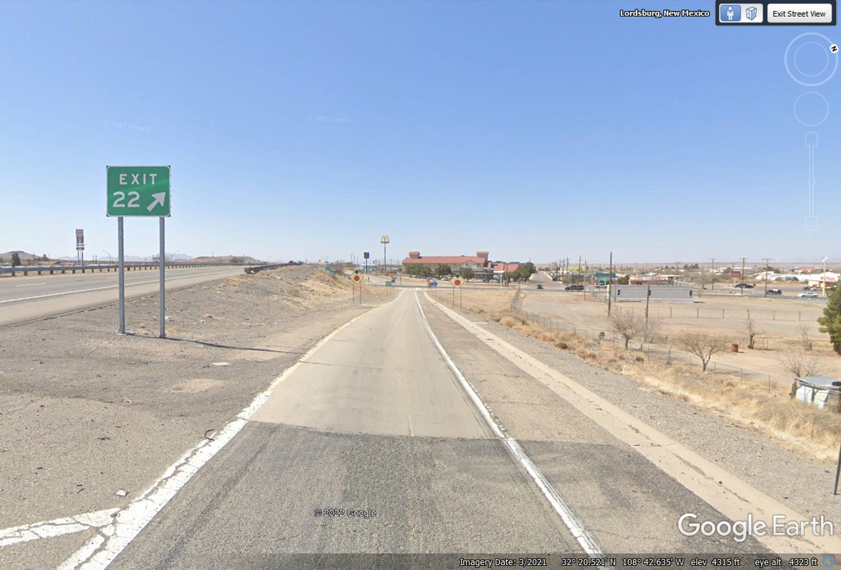
The next town going west is Lordsburg about 60 miles west of Deming on
I-10. Exit 22 is where US 70 goes to the north side of town, then turns
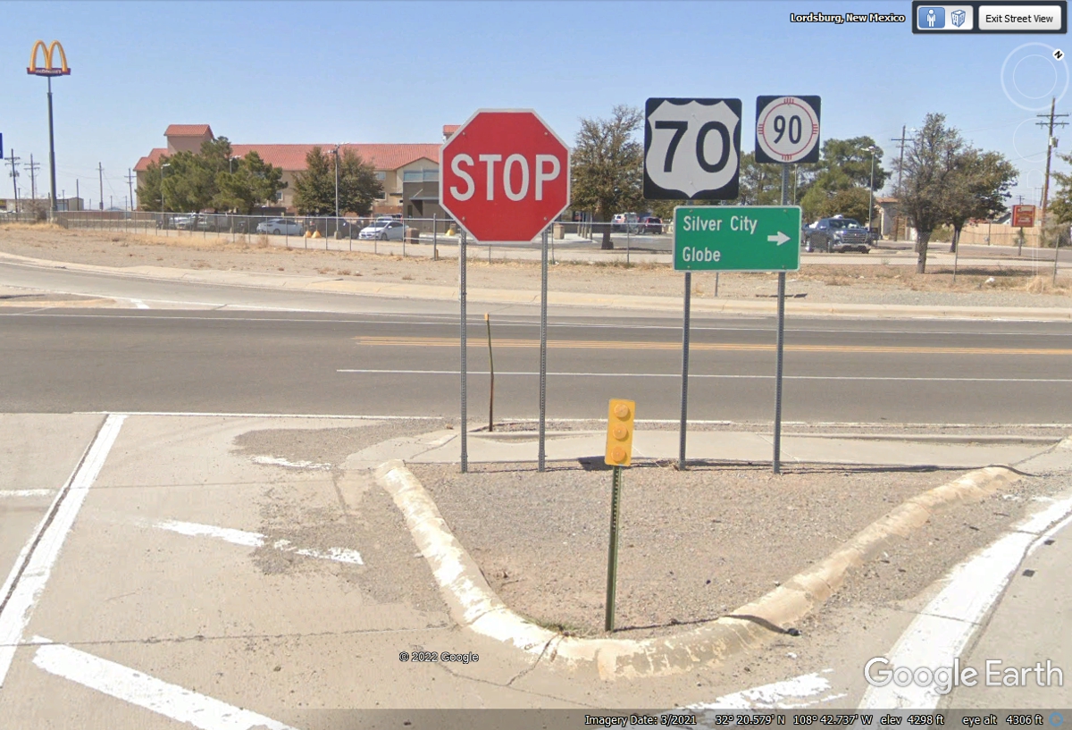
northwest going to Globe, Arizona.
US 70 departs from I-10 here in Lordsburg heading north first with New Mexico
route 90 out of town where US 70 goes northwest toward Globe, Arizona.
Route 90 goes to Silver City. I-10 will reach the Arizona state line 22 miles
ahead.
| ARIZONA and WESTWARD - PAGE12 | RETURN TO WESTERN TOUR INDEX PAGE |