May / June 2022 Vacation Day 5 · · PAGE 10.
May 27, 2022: This is the
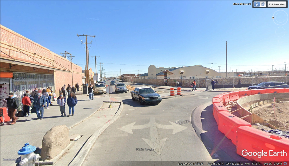
north edge of
the US Customs border area where taxis and other ride share services pick up
pedestrians crossing the border at this location. The image is from
February 2022 showing construction to control traffic flow building a traffic
circle to pick up and drop off pedestrians crossing the border here. We
did not go down to this location as we were passing through the El Paso
area. I wanted to show this part of El Paso as it is a very active border
town for local residents on both sides of the border.
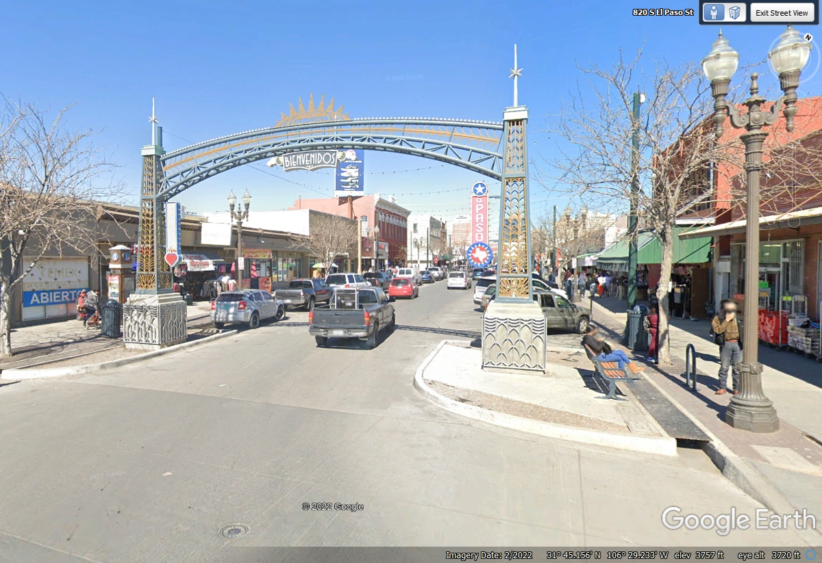
This gate has a welcome sign for anyone crossing the border coming north
into El Paso, Texas. This area is a one way street north from the border
from a pedestrian border crossing. No vehicles cross the border
here. The vehicles seen here come from SIXTH STREET and must turn north on
El Paso Street.
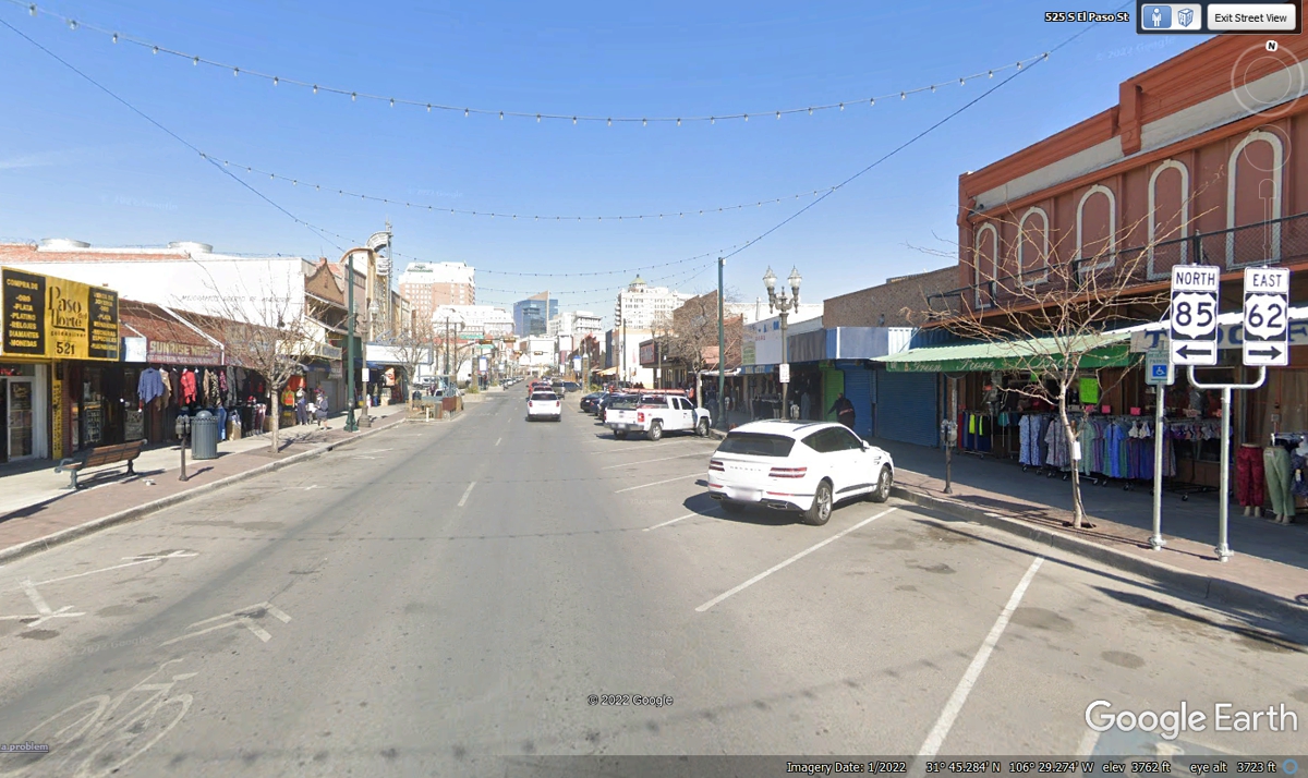
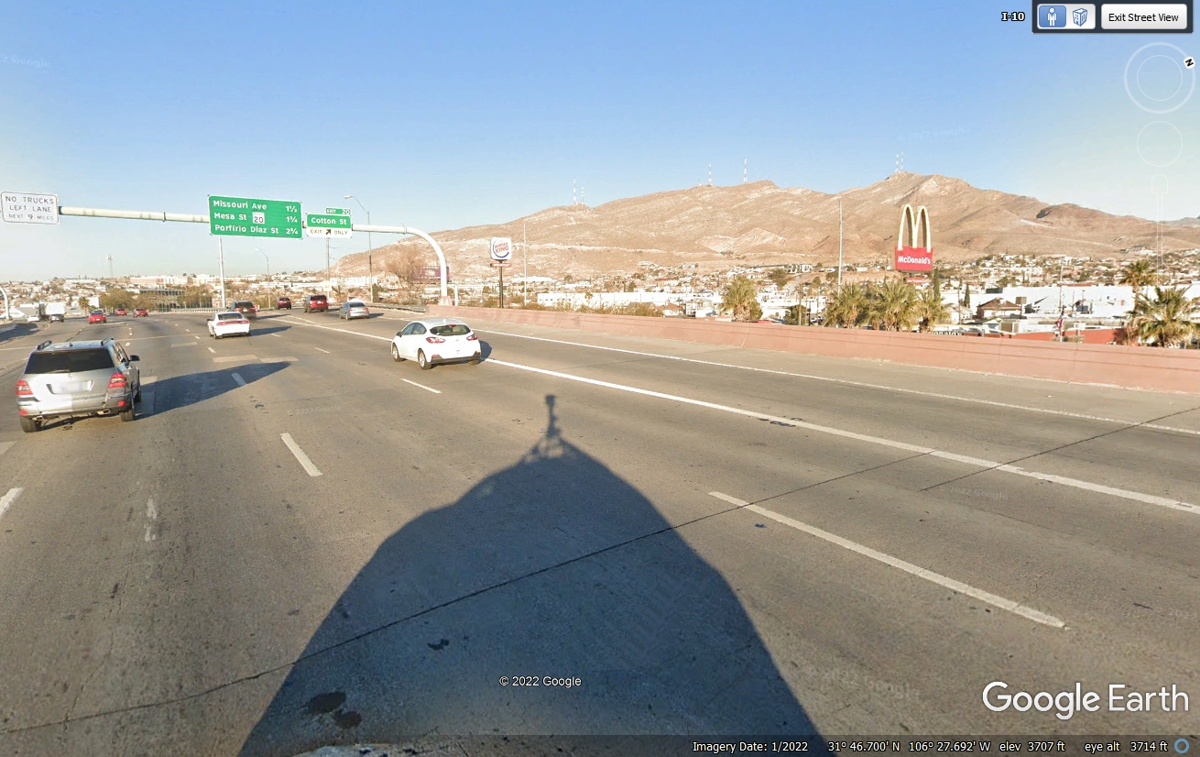
Not far from the intersection seen above is one of the routes from the
Border Crossings to and from Mexico. This is EL PASO street that comes
from the Northbound crossing from Mexico into the USA. The US highway
marker signs in this photo below indicates the south ends of US 62 and US 85
ahead near the next major intersection. US 85 goes north from El Paso adjacent
to the Rio Grand River to New Mexico and all the way to Canada.
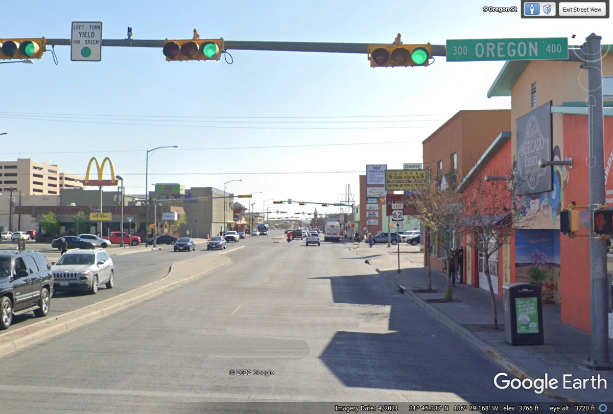
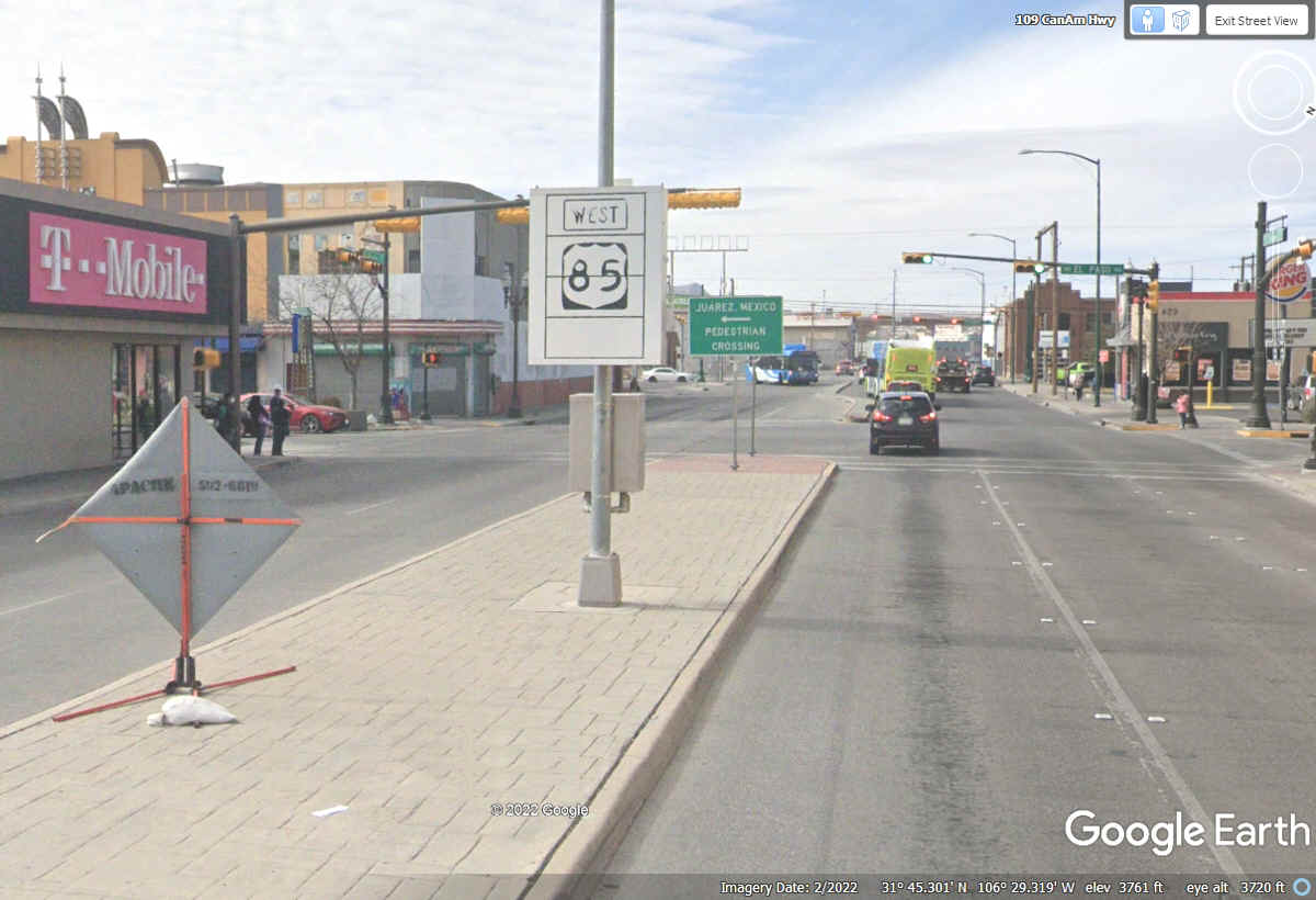
Oregon Street in El Paso is where US 62 and US 85 come together for their
southern END POINTS. This image is looking East on Paisano Street.
Looking west from the intersection above reveals the first US 85 sign in
El Paso. This image from February 2022 has road construction signs and
could explain why the sign can be electronically controlled.
The name EL PASO describes a PASSAGE WAY TO THE NORTH from Mexico since
they owned this land until the Mexican / American War from 1846 to 1848.
The USA won that war and claimed all of Texas and the land seen here and much
more north of here. Those black lines are American railroads. US
180, US 85 and Interstate 10 are very close with the railroads in the PASS next
to the Rio Grand river.
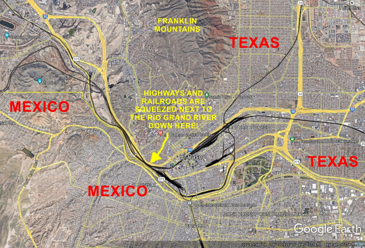
Here is the part of west Texas that earned the name "EL PASO"
which in this instance is the PASS that shaped the Rio Grand river south of the
Franklin Mountains. I captured this Google Earth image to show the
southernmost mountain and how Interstate 10 turns toward the river from this
high spot. We drove on I-10 going West through El Paso on May 27, 2022.
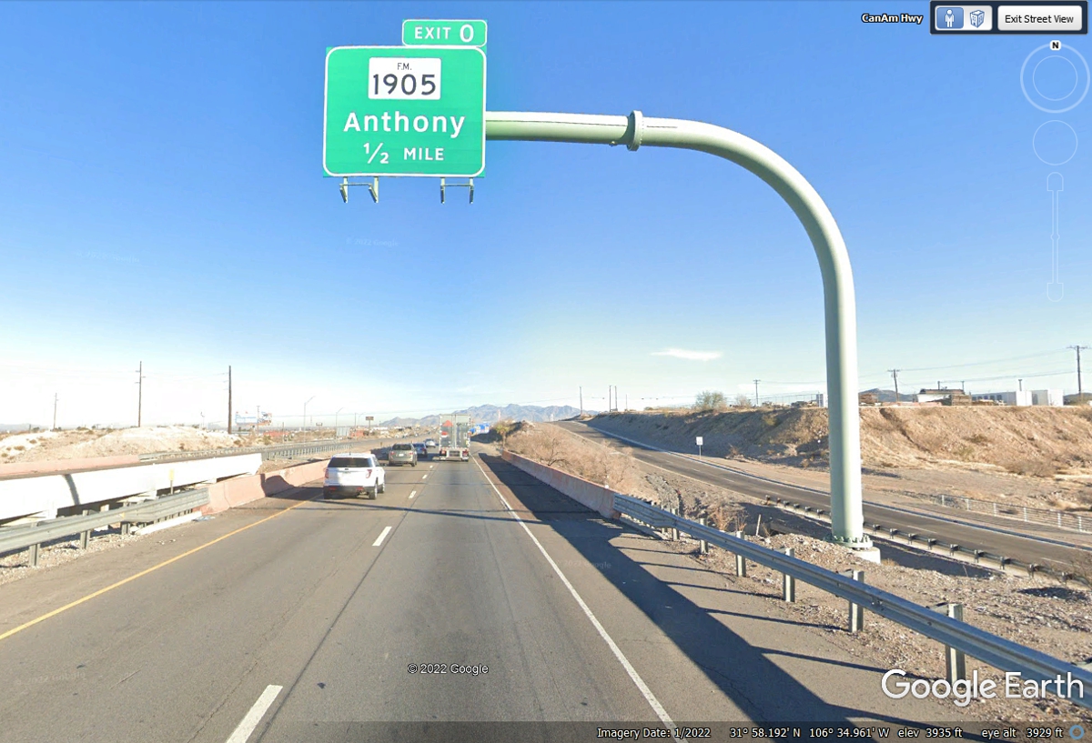
For those of you have been reading about my FLYING trips out this way in
October 2005, this is the exit to get to the Dona Ana Airport where LOE5 was
held. The letters refer to the LAND OF ENCHANTMENT RV Fly-in which I have
photos from that event on this web site at this LOE5
WEB LINK. That web page is the first of 13 pages about traveling to
and from the event from the Chattanooga area in October 2005 in my Van's
Aircraft RV-9A. This exit is less that 8 miles south of the New Mexico
state line.
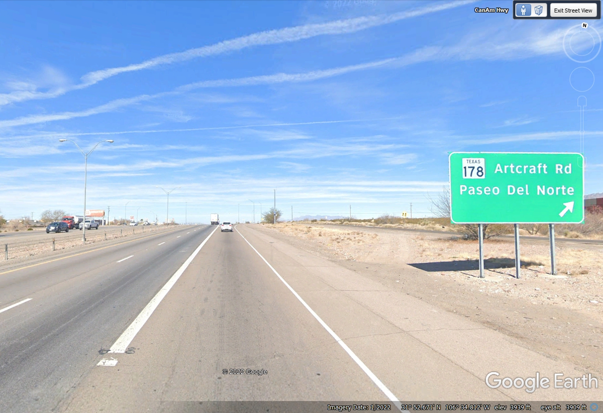
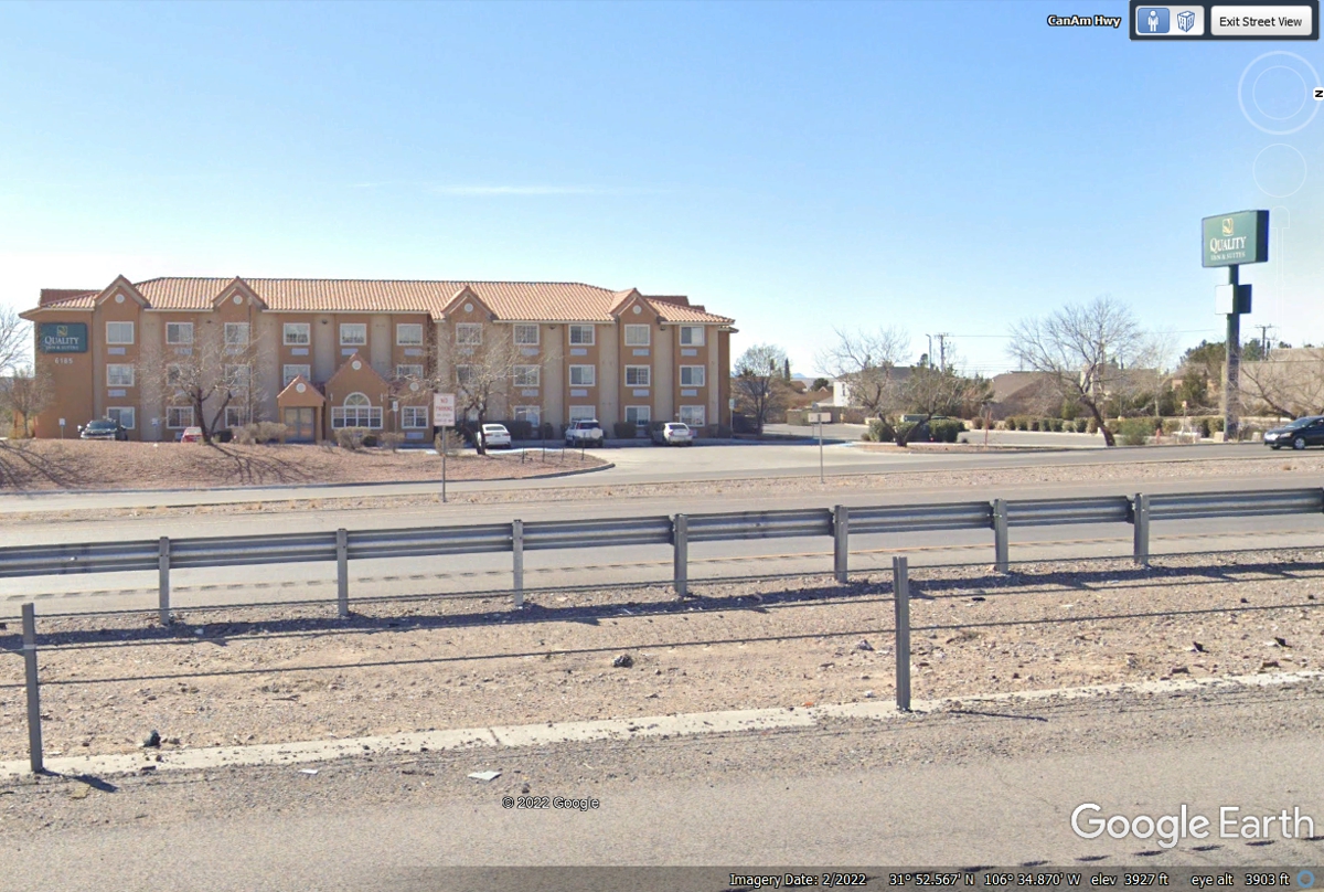
The motel where I stayed for the event is on the frontage road on the west
side of Interstate 10 accessed from the exit to Texas Route 178 seen
above.
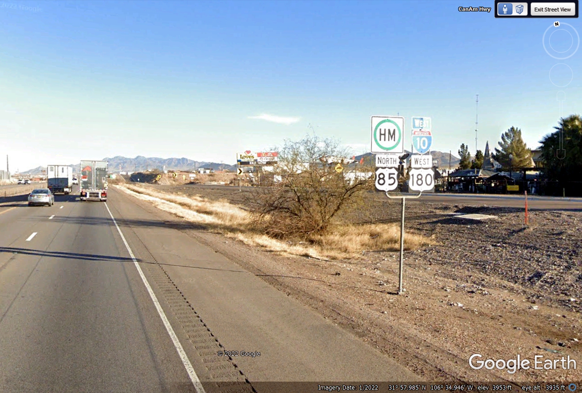
Here is the tourist sign advertisement for the exit at the Texas / New Mexico
state line. This route is I-10, US 180, and US 85 running north together. Google
Earth has placed the route number in the upper right corner of this image
showing US 85.
Texas DOT is confirming I-10, US 85 and US 180 are running concurrently
here. If you are not aware, the GREEN circle with the letters H and M is
about hazardous materials cargo can use this route.
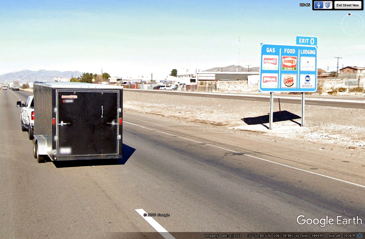
Here is the last exit sign for I-10 in Texas heading west (north really)
approaching the state line with New Mexico. The state line runs East and West on the
maps. Exit Zero could be assigned for an exit between mile marker ONE and
the state line. After looking at the FRONTAGE ROAD on the East side of the
freeway, I realized this exit is the last one in Texas with access to a truck
stop and other restaurants, motels, etc. The end of the frontage road is at the
REAL state line as you will see below.
I was NOT expecting to see this TEXAS mile marker at this point on
Interstate 10! How far is EXIT ZERO from here? (I wrote this before I
realized the usage of Mile Zero.)
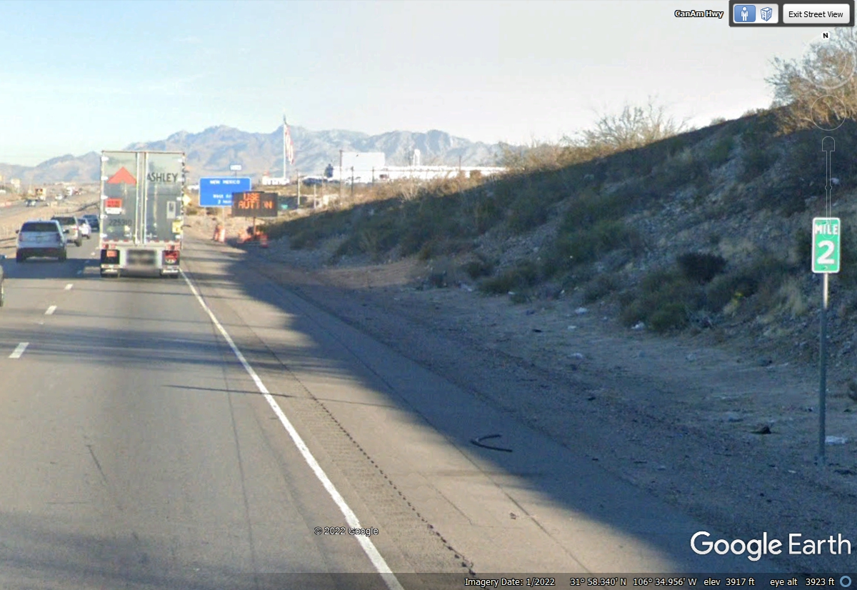
Exit ZERO has been passed and was just a name for an exit, and not related
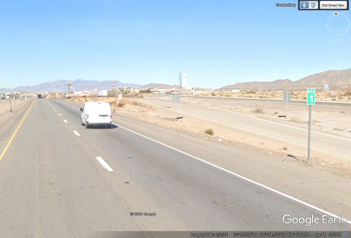
to the traditional usage at a state line. Texas DOT has placed a real mile
marker at the place that is ONE MILE from the state line where Texas meets New
Mexico on Interstate highway 10.
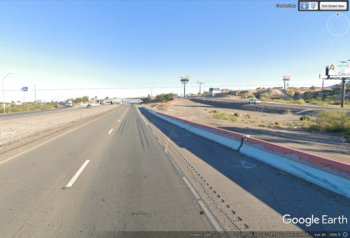
Building the northbound FRONTAGE ROAD shows how the original exit ramp to
the last I-10 exit went up to service the local area. The YELLOW stripe
and inclined area on the other side of the RED and WHITE barrier shows how Texas
DOT ended direct access at this point. Exit 0 would get you here by way of
the frontage road.
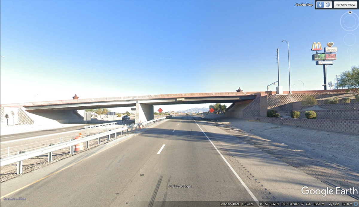
This is the last overpass across I-10 before entering New Mexico. If
you missed EXIT 0, you can't get there from down here.
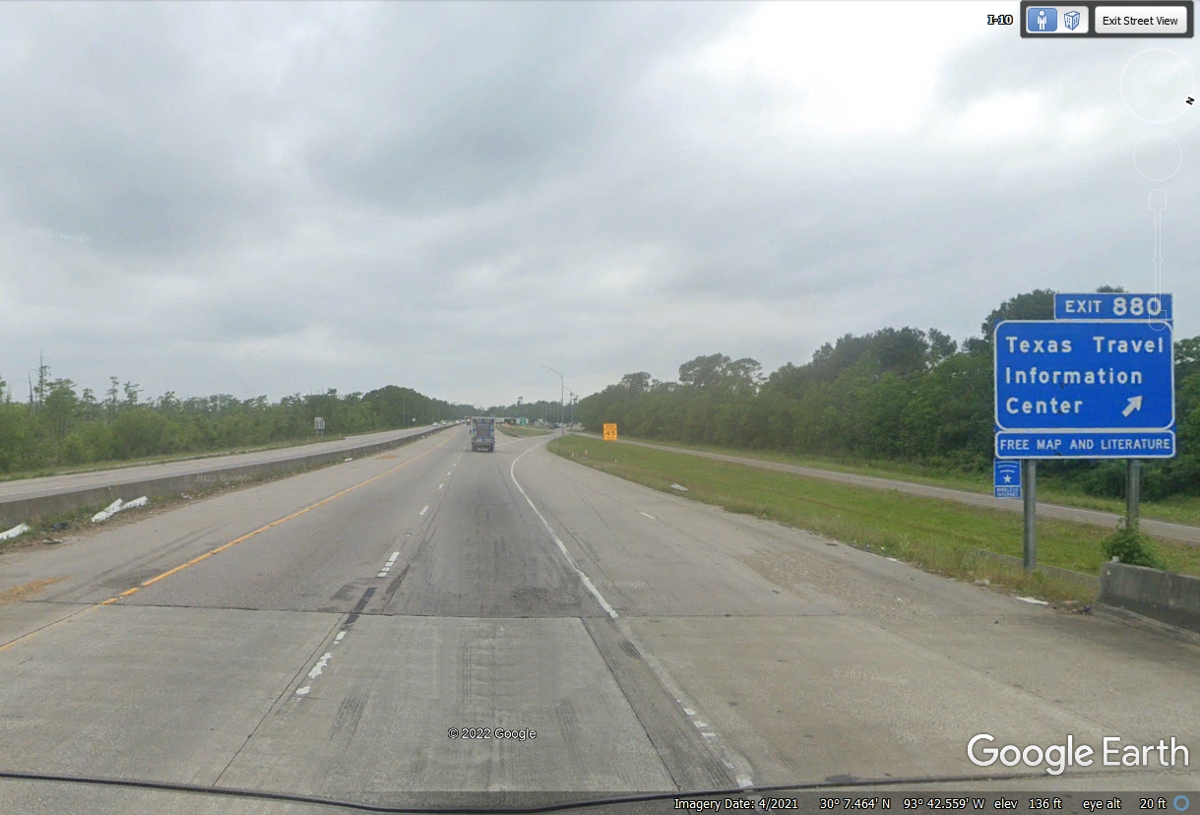
Since we are reaching the western END of I-10 in Texas, I wanted to grab
an image from the other side of the state near the Texas welcome station where
I-10 has crossed the Sabine River from Louisiana. It really is 880 miles
across Texas driving on Interstate 10.
| NEW MEXICO and WESTWARD - PAGE11 | RETURN TO WESTERN TOUR INDEX PAGE |