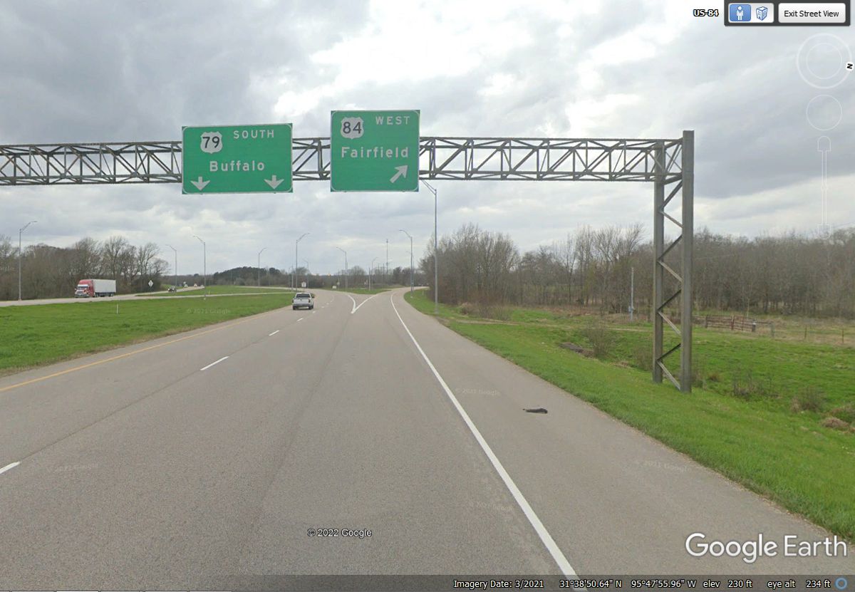
I-49 coming up from Alexandria has no significant towns to see in the 120 miles we covered. We are turning left up ahead to get on US 84 westbound heading into Texas shortly.
May / June 2022 Vacation Day 3 · · PAGE 3.
May 25, 2022: Day 3 begins by getting on Interstate 49 in Alexandria, Louisiana to go
northwest until we reach US 84 that will take us west to the town of Palestine,
Texas. The town is pronounced as "Pales-TEEN"
by the residents. We take US 79 from there all the way to Round Rock,
Texas. I have been down that route before as the last leg of a road trip
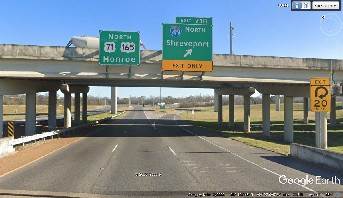
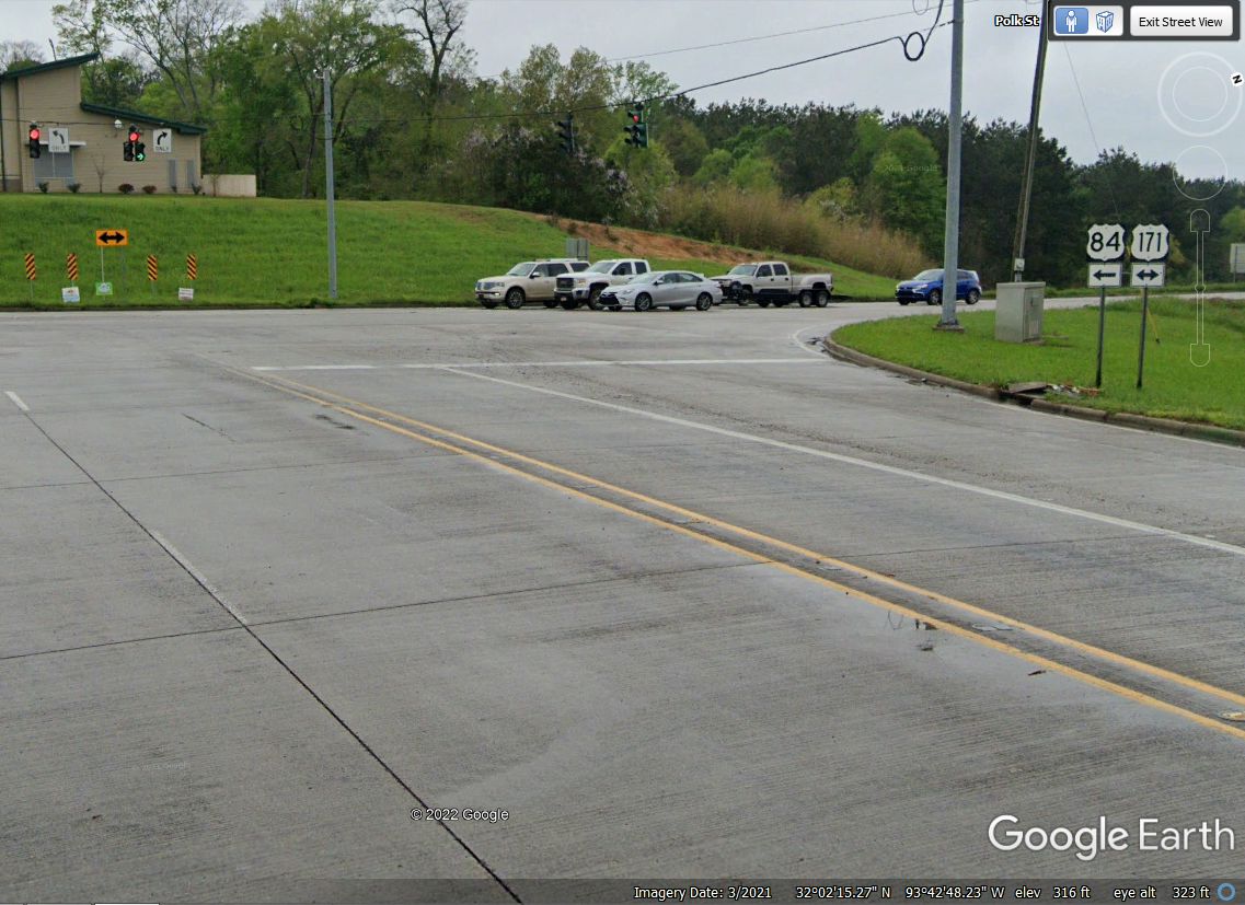
from the Chattanooga area to Round Rock. The Google Earth image below is the
ramp from US 71 to
I-49 heading toward Shreveport, but we are not going that far on this route
today. We will rejoin US 84 about 120 miles northwest of the intersection
seen in the image below.
I-49 coming up from Alexandria has no significant towns to see in the 120 miles
we covered. We are turning left up ahead to get on US 84 westbound heading into
Texas shortly.
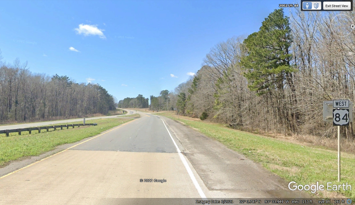
US 84 is becoming a two-lane US highway as we leave
Interstate-49 behind us.
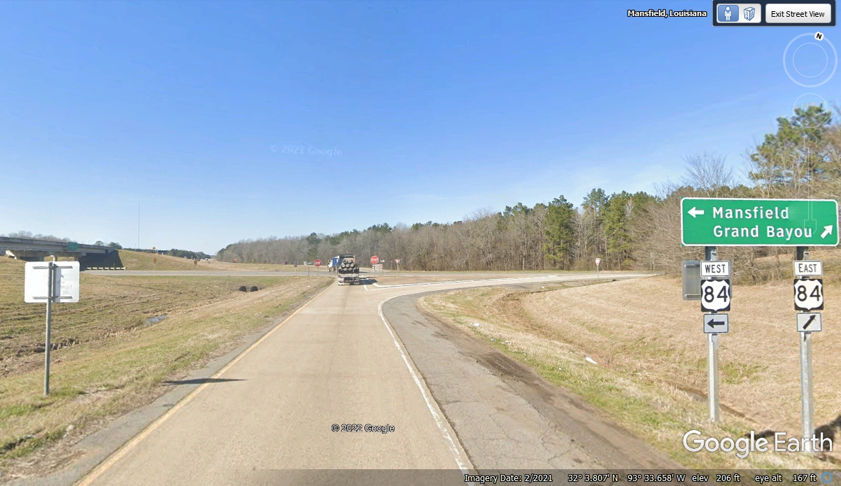
It was a day with rain when Google Earth passed this way on US 84 west of
I-49. It is less than 8 miles from the interstate to the town of
Mansfield, Louisiana. When we went down this highway on May 25, 2022, the
sky was clear to partly cloudy.
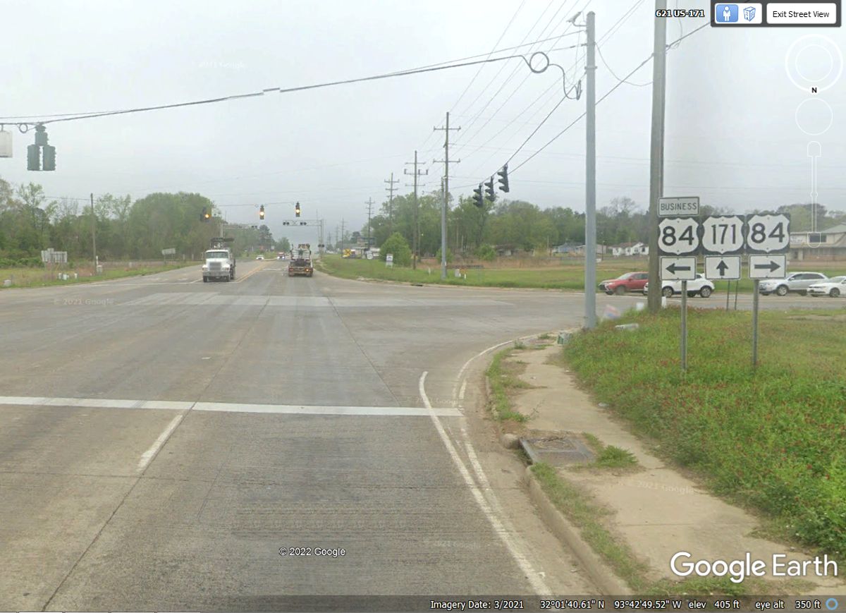
US 84 joins with US 171 in Mansfield, Louisiana just west of the main
business district to get through the town.
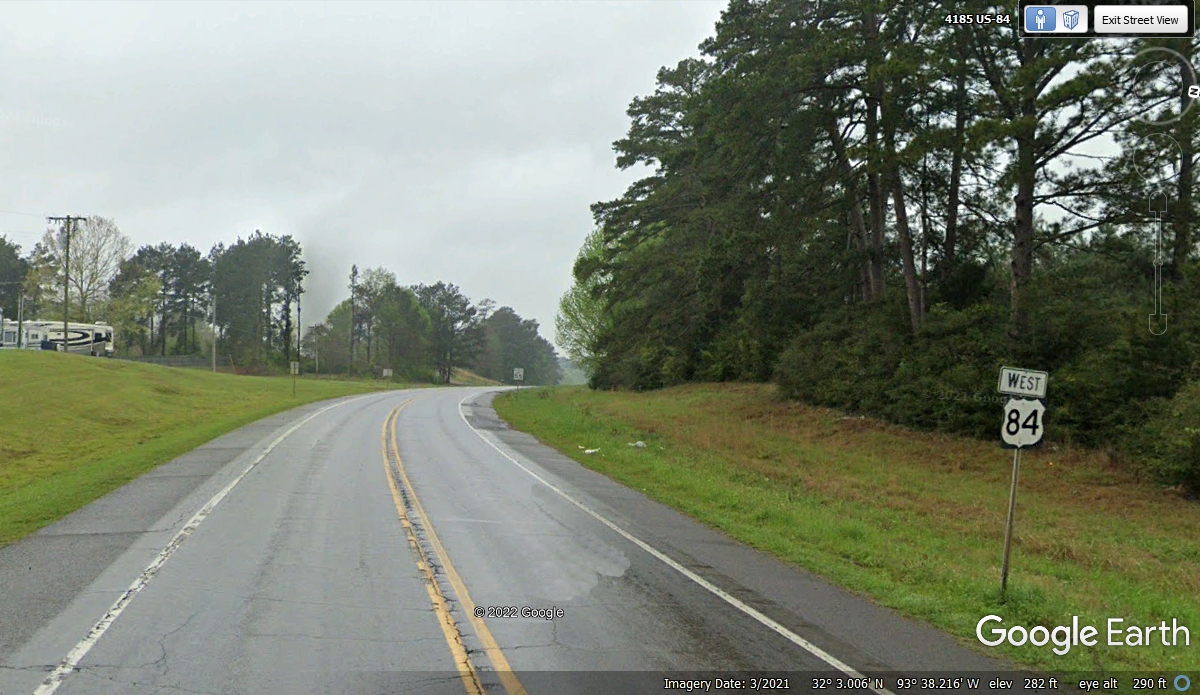
This intersection is just south of the old business district with US 171
as a bypass on the western side of town. This is where US 84 heads west
again toward Texas from this location in northwestern Louisiana. The
town of Logansport, LA. is where US 84 crosses into Texas less that 20 miles from
the location seen in this image below.
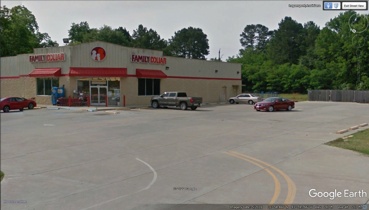
We made this Family Dollar store just East of Logansport
our first rest stop after leaving our motel down at Alexandria, Louisiana.
Chase had plenty of grass near the back of the parking lot. The rest rooms
were clean for us people.
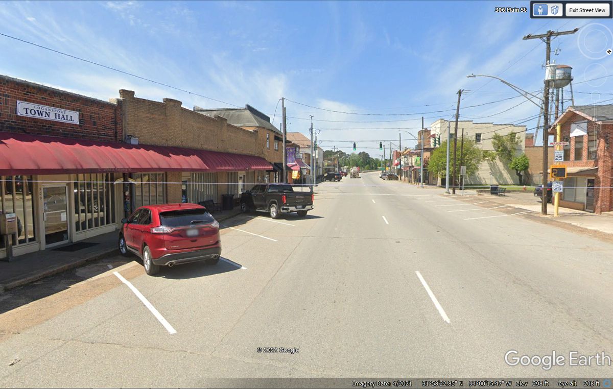
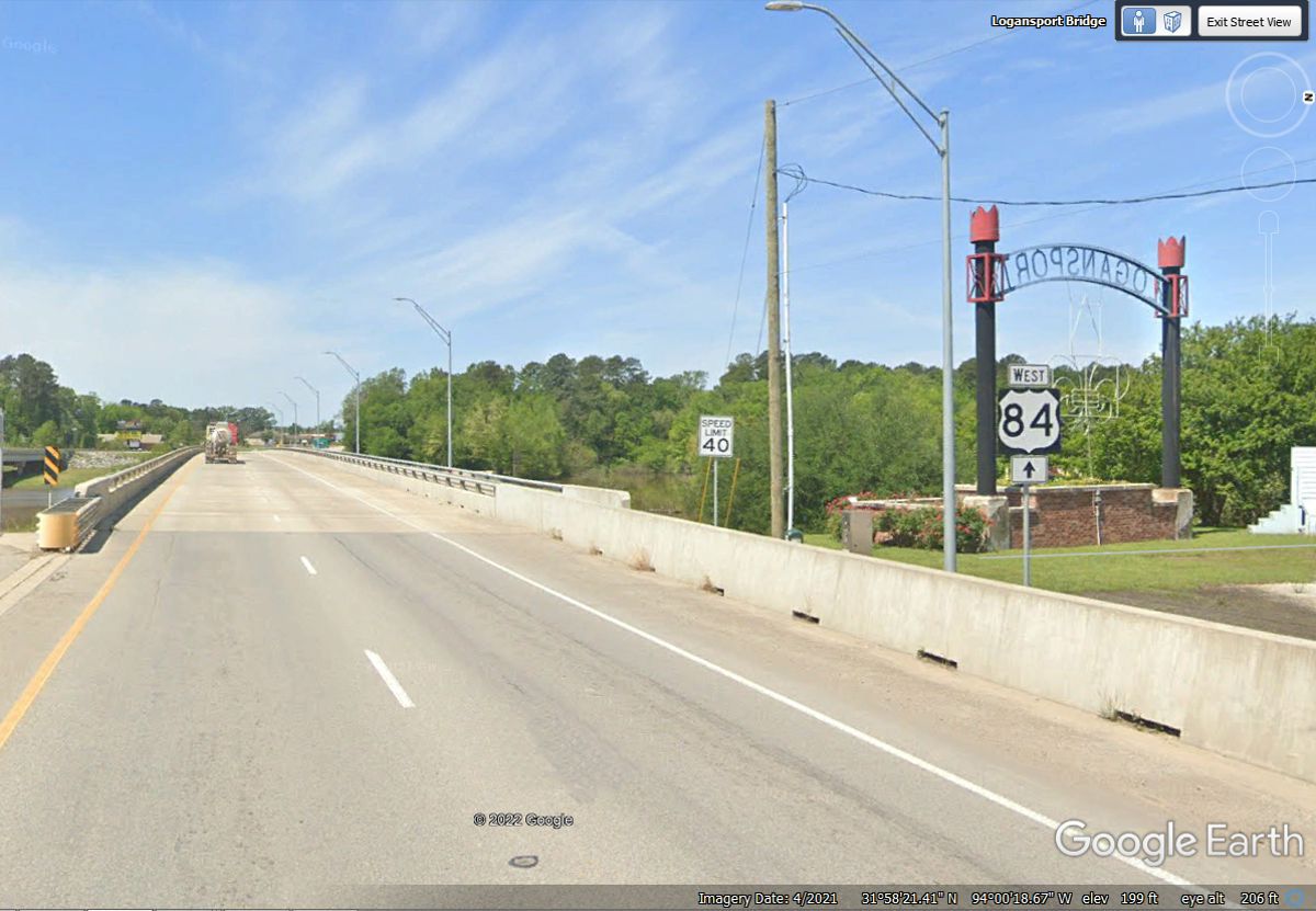
Downtown Logansport, Louisiana looks like so many small towns with some
buildings that are well over 100 years old. That curved bridge ahead
crosses the Sabine River into Texas. The thin horizontal white
line digital was created in the Google Earth
imaging system to show a state line ahead.
Here is the Logansport Bridge with US 84 westbound crossing the Sabine River into Texas.
The river name is pronounced as "SAY-BEENE".
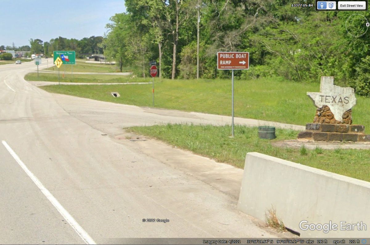
This Texas monument at the western end of the US 84 bridge across the
Sabine River is one of two indications of entering the state of Texas in this
image. The GREEN sign ahead has the Texas state flag with ONE star.
Texas is known as the Lone Star State.
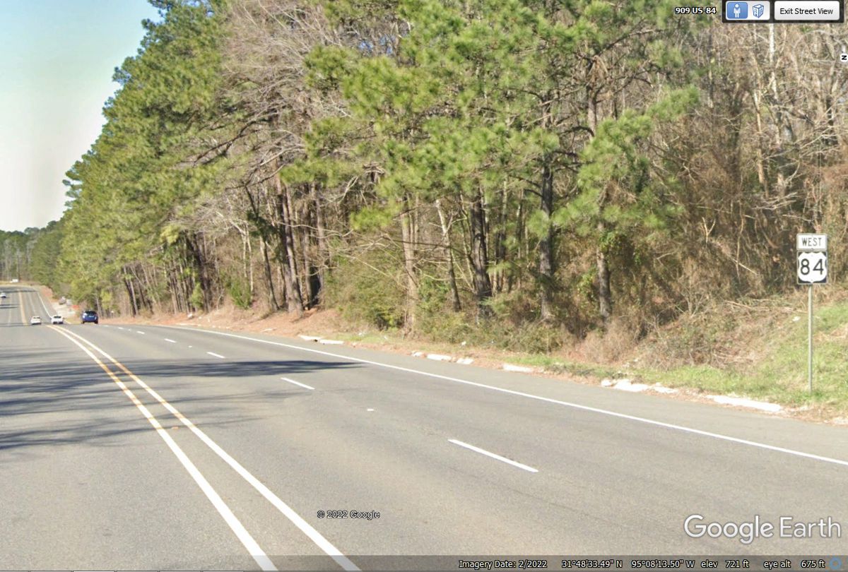
Many of the US highways in Texas are four-lane roads much like this one
seen here about one mile East of the US 69 junction near Rusk, TX. I had
to use this US 84 sign since there is some road construction near the US 69
junction that shows no road signs on US 84.
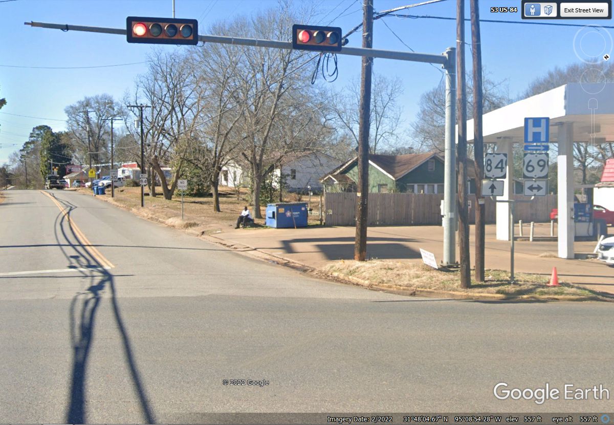
US 84 crosses US 69 in the town of Rusk Texas. This one US 84 sign
shows the route going west crossing US 69 that runs north and south..
The road that is US 84 in Rusk has a gradual left turn until it reaches
the town square seen in the image below. The right turn here in front of
the court house is going due west for now.
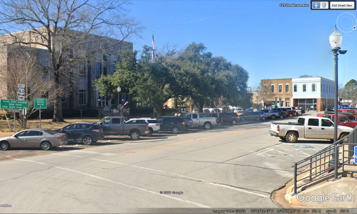
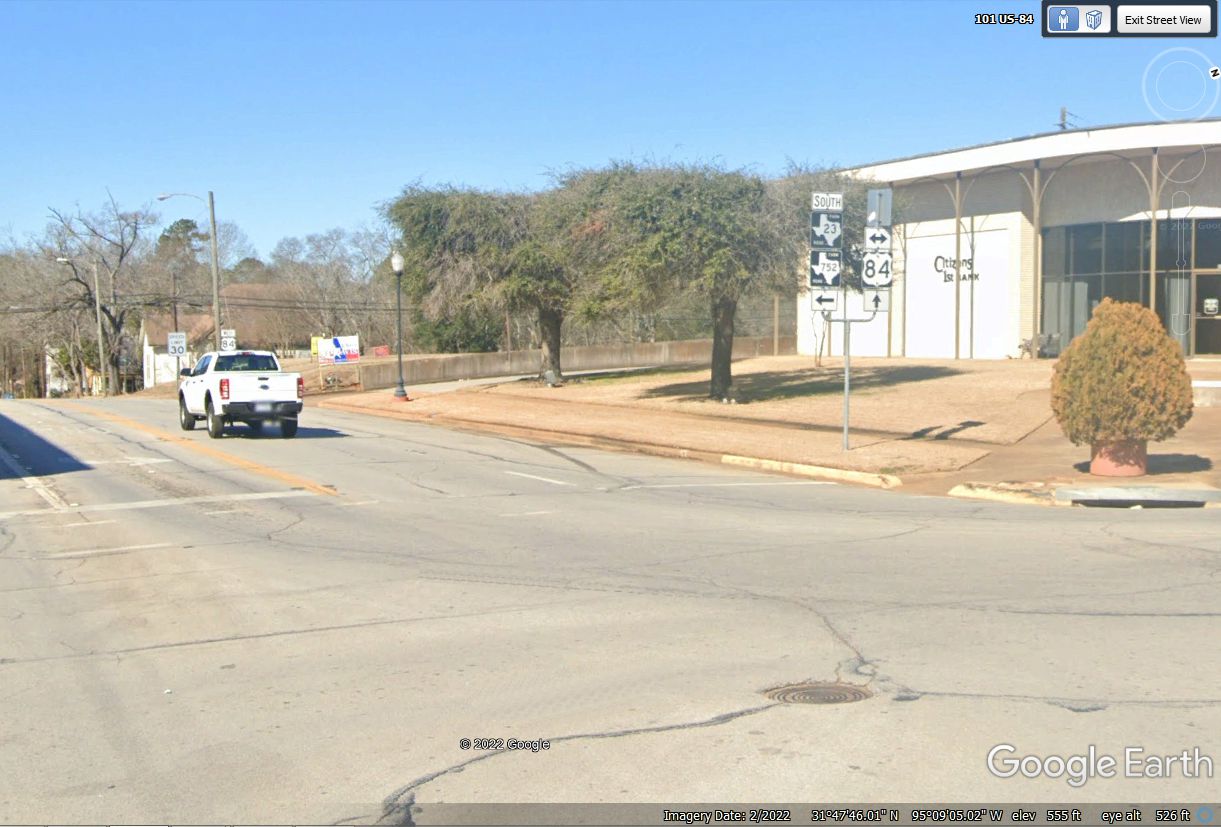
The Citizens 1st Bank is on the northwest corner across the street from
the town square where US 84 heads west out of the main part of town.
A number of towns across Texas have "LOOP" bypass routes around
their communities. Keeping the THRU TRUCKS out of the main part of town is
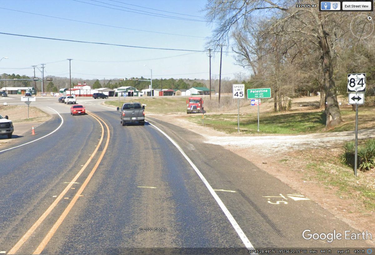
a big deal. US 84 westbound comes to Palestine from the East (pronounced
as PALESTEEN by the locals).
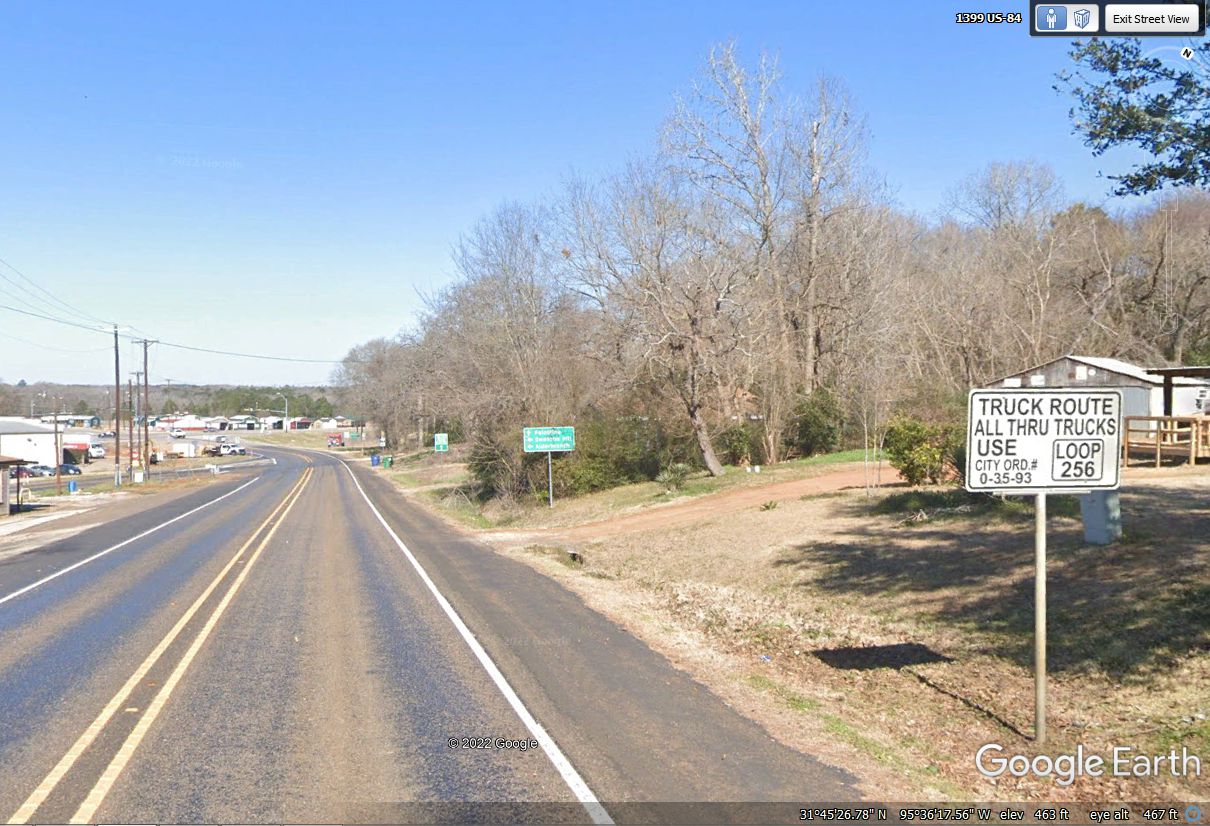
US 84 is taking the loop route around Palestine in both directions from
this entry point on the East side of the city. We are going around the
loop by turning LEFT up at the intersection with loop 256 until we reach US 79
to get on the route to Round Rock, Texas where my oldest soon lives.
We spotted this Wendy's location on the south side of Palestine, Texas for
our lunch today. There is a Super Wal-Mart behind this location. We
had a quick pass through the drive-in window and parked the car on the Northeast
side of the parking lot facing away from the sun.
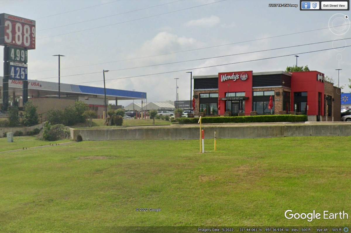
Our route west on US 84 joins US 79 for less than 12 miles until they go
their separate ways. This Subway seen here is one place I had considered
for our lunch today. This location is about 220 miles from the hotel in
Alexandria, Louisiana. It is about one mile from the Wendy's location seen
in the image above. An average speed of 55 MPH would get us here in
four hours. I-49 is the first leg of today's journey and several US
routes as open roads for the remainder of this day, we will arrive in Round Rock
before sunset.
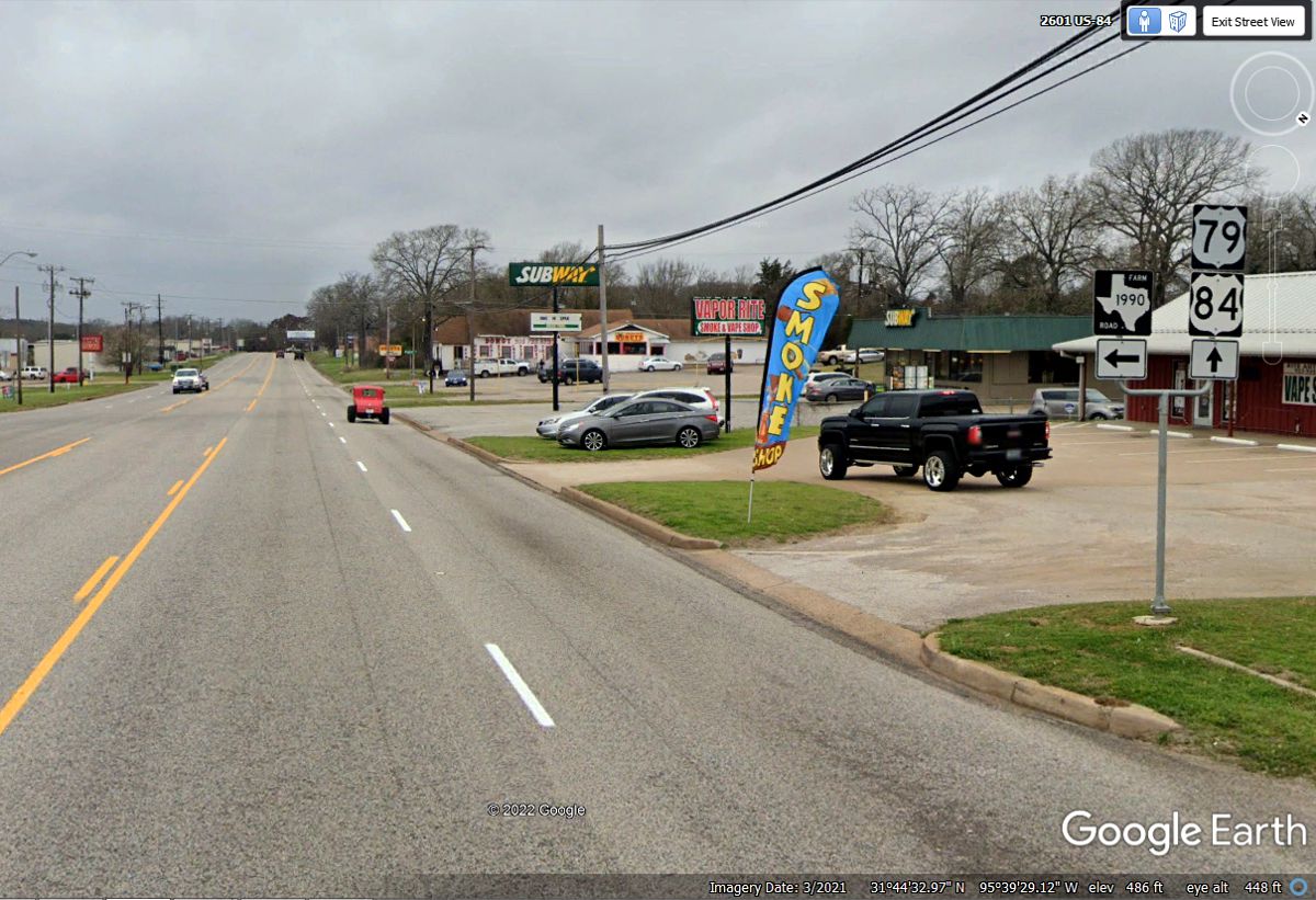
The divide of US 79 from US 84 is about 11 miles south of the Subway
restaurant seen in the image above. This is our last route of less than 150
miles down to Round Rock, Texas to visit with my son before we continue heading
west on this vacation tomorrow.
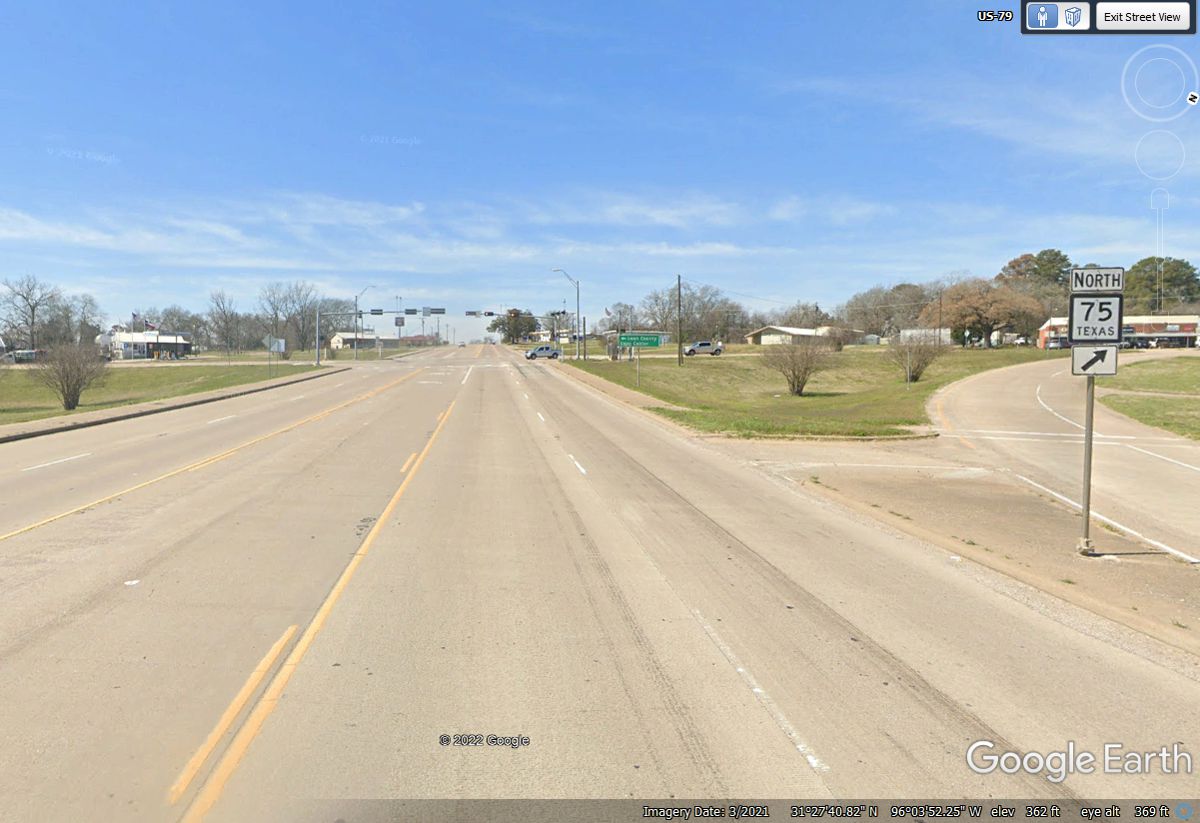
This intersection of US 79 at the town of Buffalo, Texas with TX state
route 75 is less than 21 miles from the US 79 and US 84 split seen in the image
above.
US 79 passes under the northbound and southbound lanes of Interstate 45
which starts north from Galveston on the gulf coast and passes through Houston on
its way to Dallas, TX.
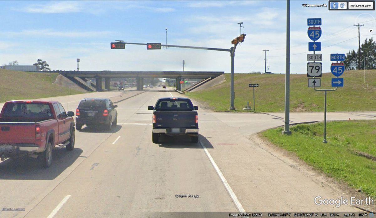
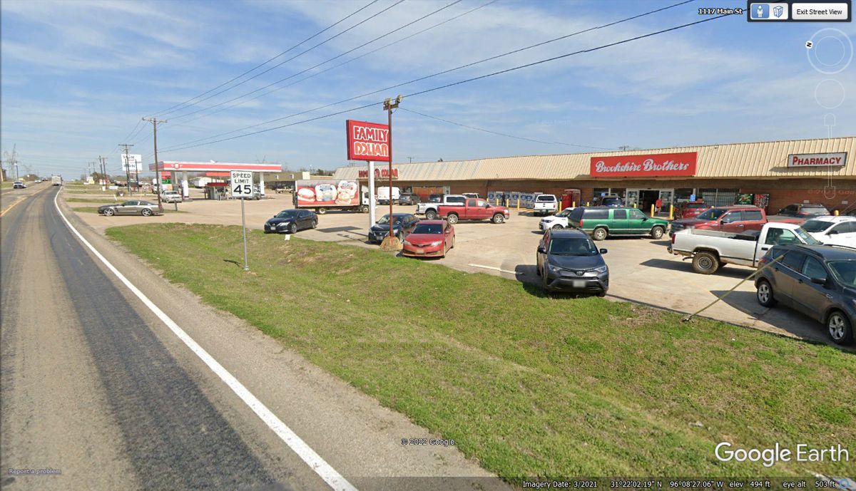
Jewett is the first small town on US 79 after crossing I-45 back at
Buffalo, TX. The town is too small for a Wal-Mart, so the Brookshire
Brothers fill some of that void. I looked up the store to discover they
are a chain of markets across Texas. The gas station beyond the 45 MPH
speed limit sign is part of this store property.
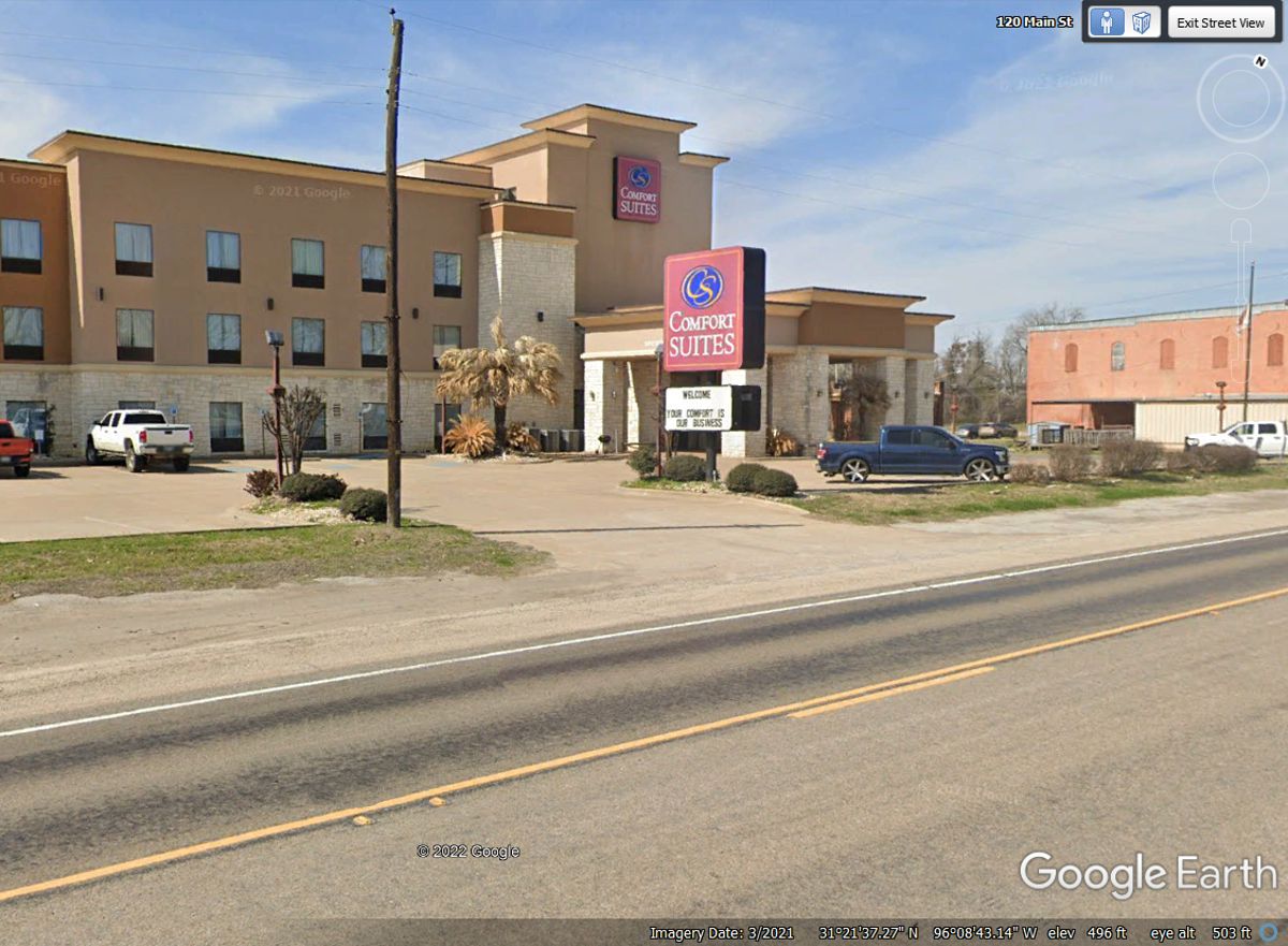
This Comfort Suites is located near the south end of the business district
of Jewett.
| NORTH CENTRAL TEXAS to ROUND ROCK, TEXAS - PAGE 4 | RETURN TO WESTERN TOUR INDEX PAGE |