US 41 North Through Indian Reservations · · PAGE 19.
July 25, 2019: The ride from the
motel in Iron Mountain began at 10:27 AM Eastern Time this morning. Except
for the small town of Florence, Wisconsin and the city of Crystal Falls,
Michigan along the way, the past 63 miles were dull coming north on US
141. The time was 11:43 AM when we got on US 41. We have 94 miles to
go to the end of US 41 near the shores of Lake Superior in the small town of
Copper Harbor, Michigan.
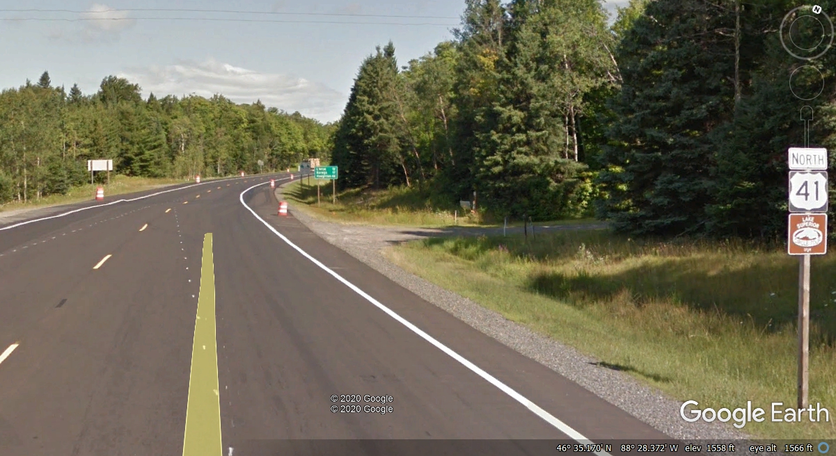
Michigan has a mileage sign for US 41 going north from the junction at the
end of US 141. Houghton is on the "Mainland" south side of the
Portage River where a draw bridge allows some lake traffic to take a short cut
instead of going around the northern part of the Upper Peninsula. The 12
miles to L'Anse is mostly forest and not much to see but the 2-lane highway
ahead of your vehicle.
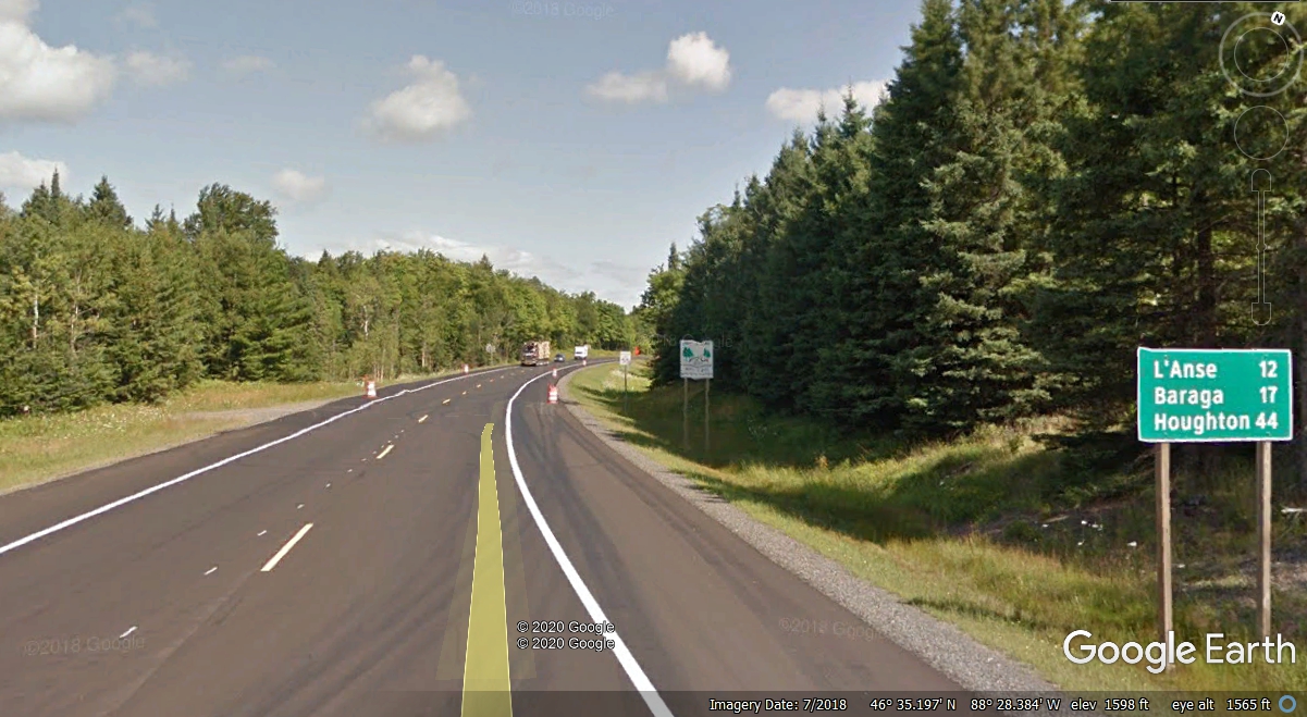
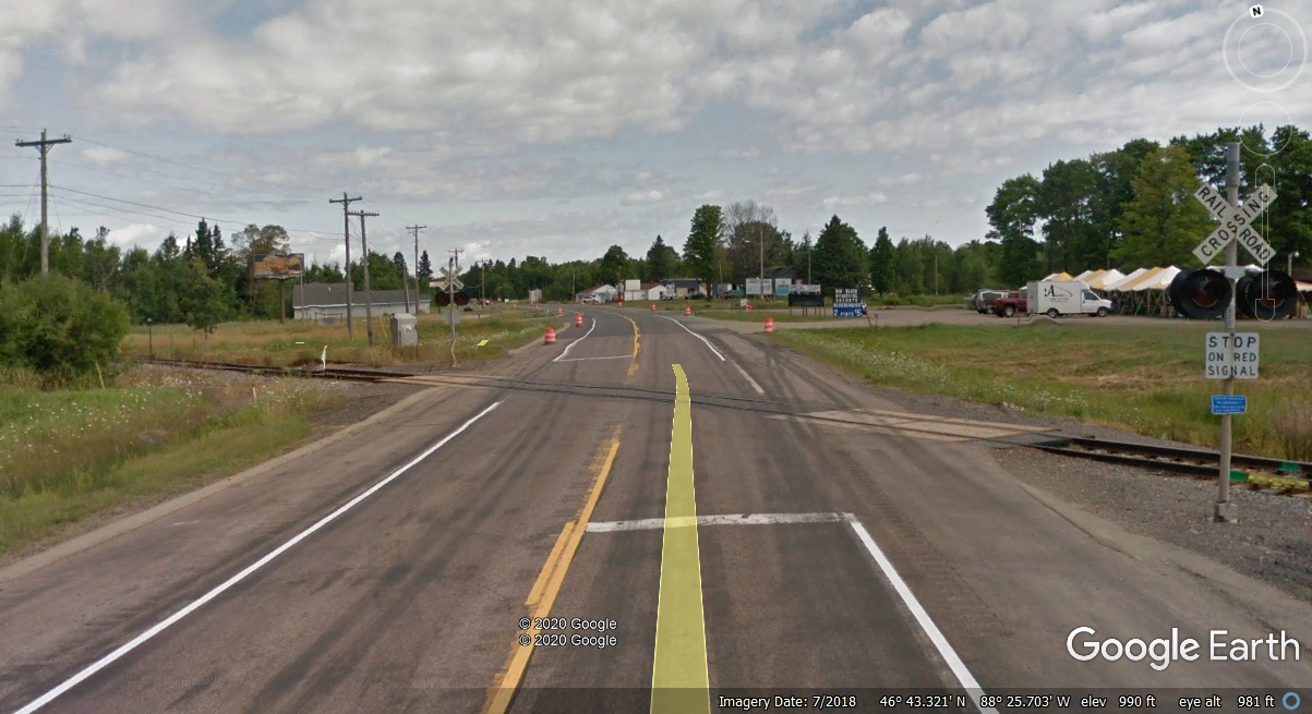
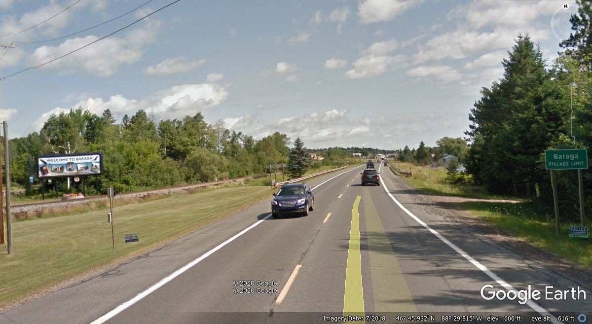
The first civilization after the forest is a few homes and the power lines
along both sides of US 41 approaching the south side of the town of L'Anse,
Michigan. This image from Google Earth is from July 2018. We passed
by this railroad crossing July 25, 2019 when they were re-paving the highway
here.
The Baraga County Memorial Hospital entrance marks the south end of the
four-lane US 41 highway.
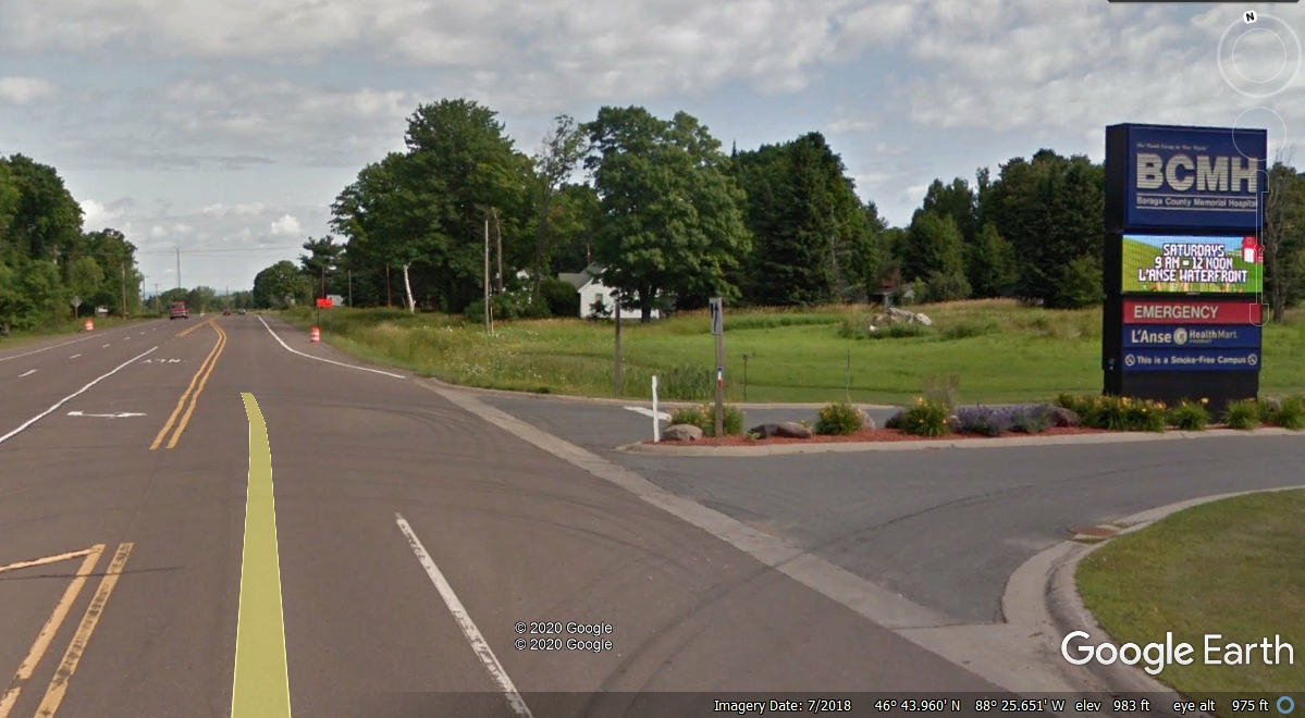
The four lanes become three when the road to the town center breaks away
from the main highway US 41 now heading west for a short distance.

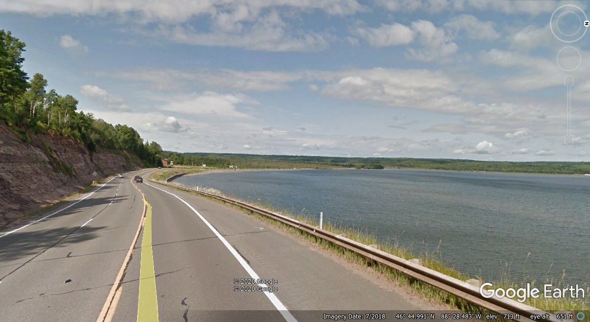
Leaving the town of L'Anse, US 41 skirts the south end of the L'Anse Bay
seen here. These are some of the backwaters of Lake Superior more than 20
miles north of here. North of this area is the much larger Keweenaw Bay
that is where the open water becomes Lake Superior.
Looking back to the East toward the town of L'Anse along US 41 reveals the point
of land that defines the north end of L'Anse Bay at the left edge of this image.
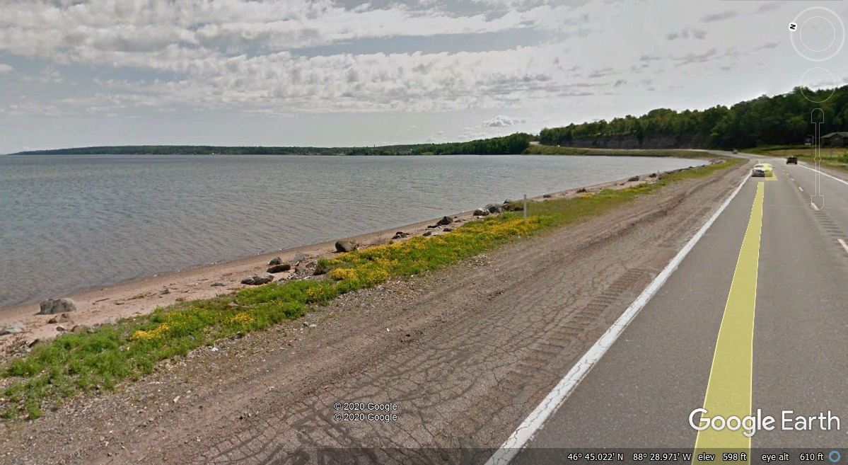
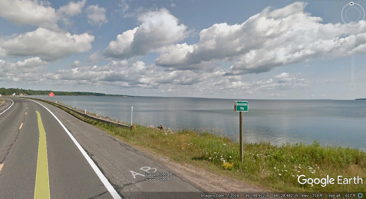
The Keweenaw
Bay Indian Community of Native Americans live in this part of Michigan in
two separate areas on both sides of the Keweenaw Bay. This smaller bay at
the south end of the bay is L'Anse Bay with a town of the same name on the East
side of this small bay. North of here is the larger Keweenaw Bay. A
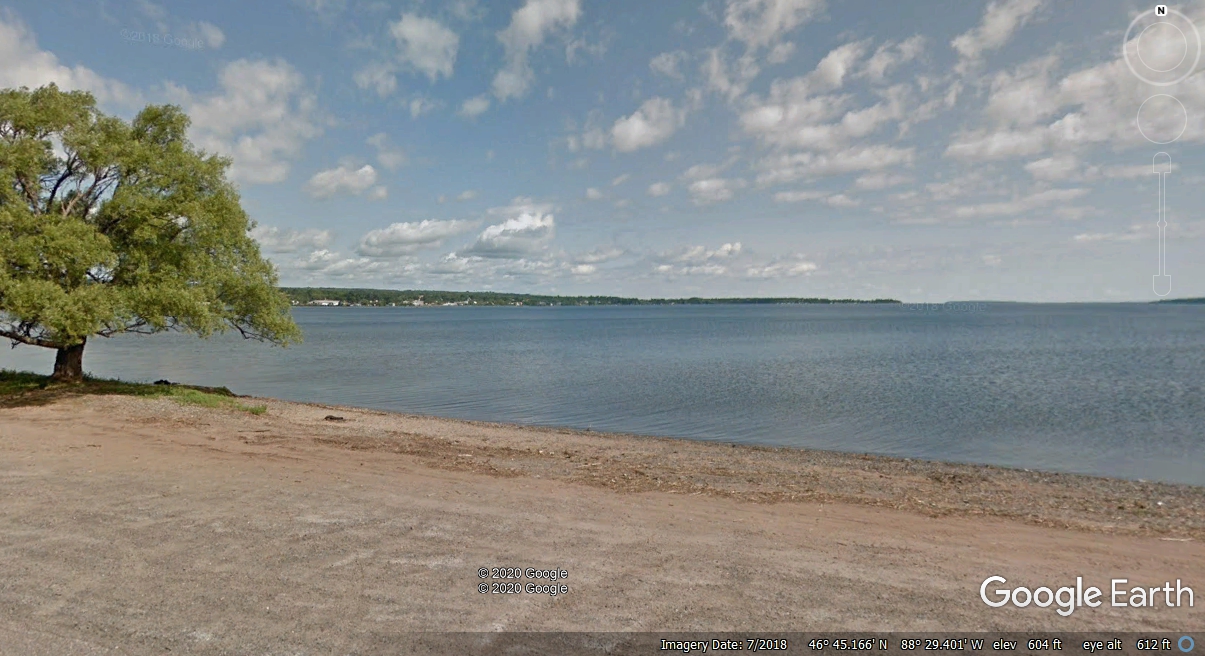
small parking area is at the bottom of this photo on the north side of US
41. I can only imagine how many tourists have stopped here to take
photographs near this tree.
The Village of Baraga is the first small town as US 41 turns north along
the western shore of the bays. This is inside the western part of the
Indian reservation. The railroad is now traveling north with US 41 as seen
on the left side of this image.
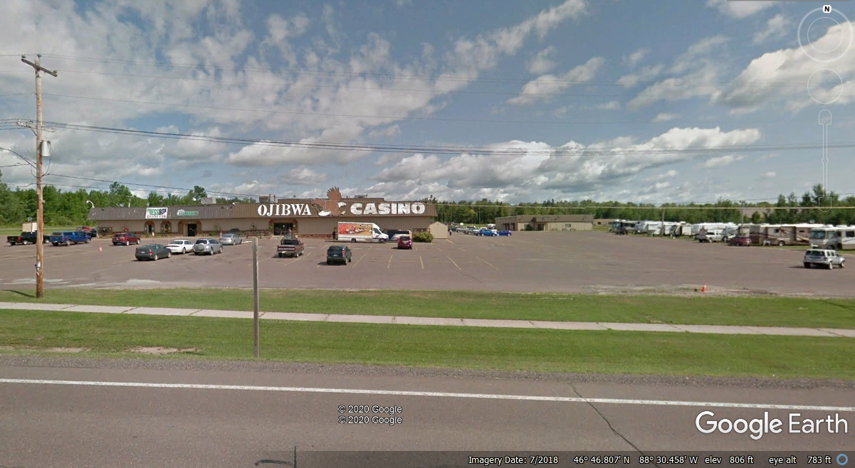
Near the north end of town is the junction of Michigan route 38 with US
41. There is an Ojibwa tribe casino just one mile to the west of here.
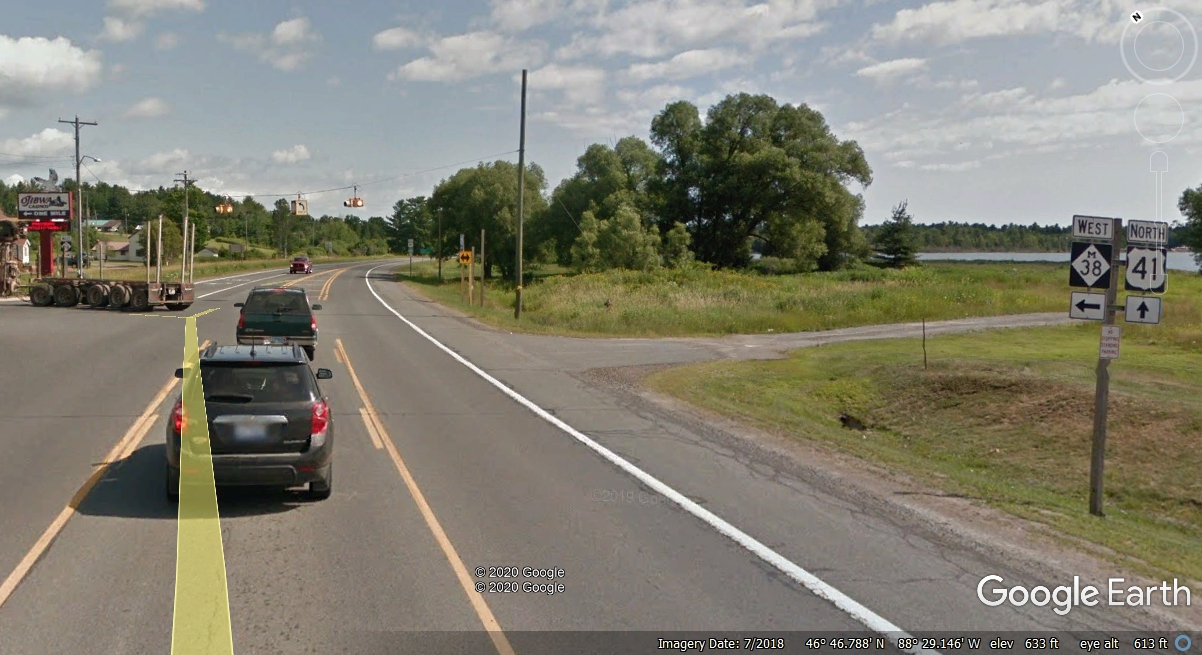
This casino is a good source of tribal income from the tourists passing
nearby on US 41.
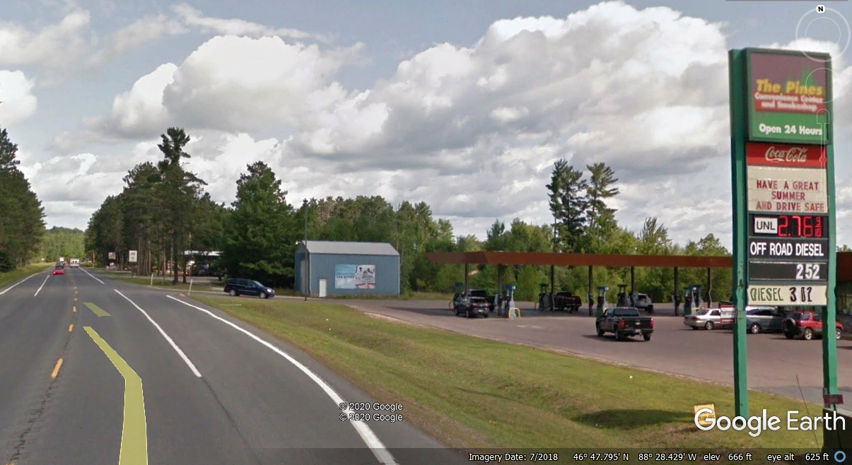
About 1.5 miles north of the Michigan 38 junction is the lowest gas prices
found in this part of the Upper Peninsula. The price of unleaded gas is
$2.39 as I write this page on February 24, 2020. That price is close to
what we pay here in Saint Cloud, Florida.
There is a point where US 41 is hugging the shoreline several miles north
of Baraga. You can see both sides of Keweenaw Bay and out into Lake
Superior to the northeast side of this view point.
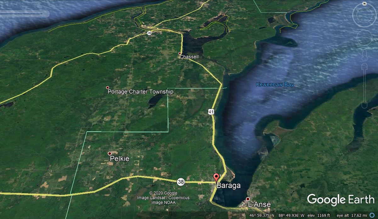
This Google Earth view shows how US 41 makes its way to Houghton and
Hancock, Michigan on either side of the Portage River between those towns.
It is 20 miles from Baraga to Chassell, and another 8 miles to the bridge
between Houghton and Hancock.