Arizona Trip Returning Home, July 9, 2016 · · PAGE 3.
July 9, 2016: Saturday morning found
me getting up on Eastern Time at 6 AM, which is 3 AM in Arizona. I got
packed up and checked out of the hotel at 4:02 AM. I headed toward the
airport for my early morning breakfast at 4:15 AM at Denny's. My flight
departure was scheduled for 6 AM. I left the restaurant at 4:45 AM for the
short ride down to the airport rental car return area. The GPS logged its
last data point at 4:49 AM. I put the GPS in my computer bag and the external antenna
and power cables in my
checked bag, picked up my Avis car rental receipt and headed for the Delta Airlines
counter. Things moved quickly through security and when I got to the gate,
they were just about ready for boarding. The plane pushed back from the
gate 2 minutes ahead of schedule with everyone on board and ready to
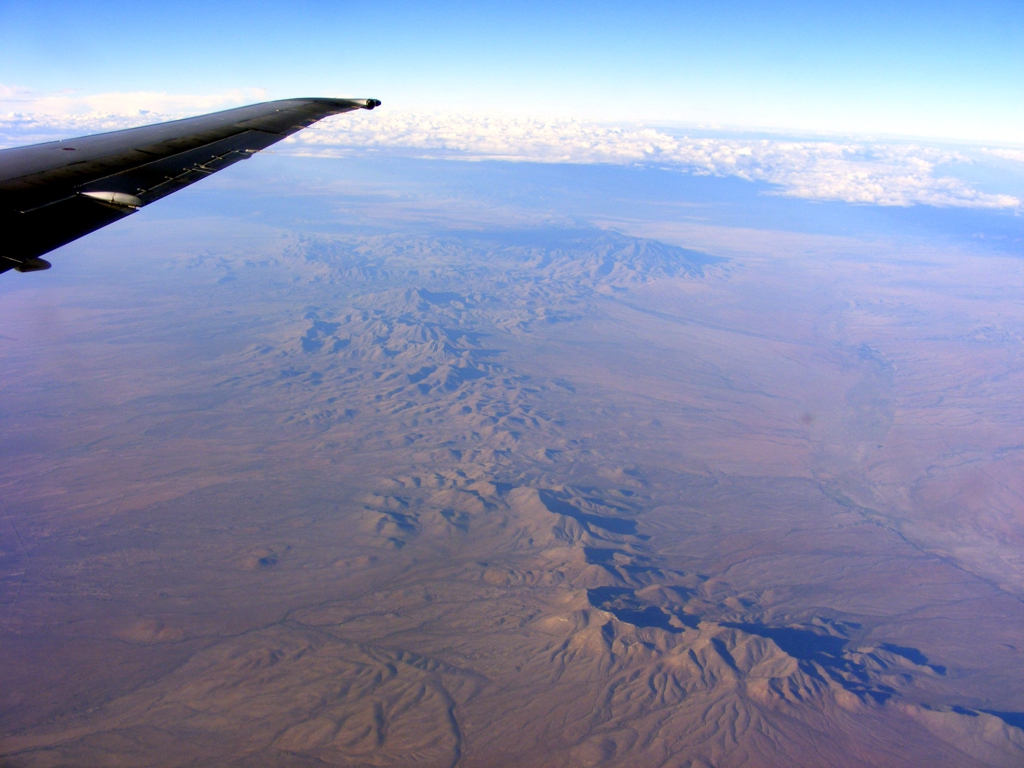
depart. When the flight got to a point about 75 nautical miles west of El Paso
according to the captain, I looked out the window and started to take some
photos. I have processed these to remove some of the blue tint from the
atmosphere.
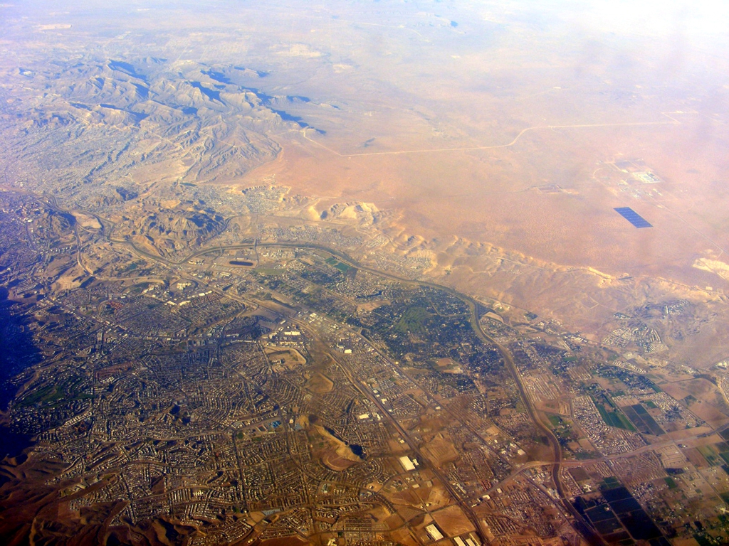
That is a highway in the center of the image with a canal to the right
that can fill up during the "monsoon season" as can that dry river
bed. There is a small community named Playas to the left of the road even with the bend in the canal as it turns toward the road.
Notice the size of that dry river
bed with the white sand appearance. It can rain hard further north
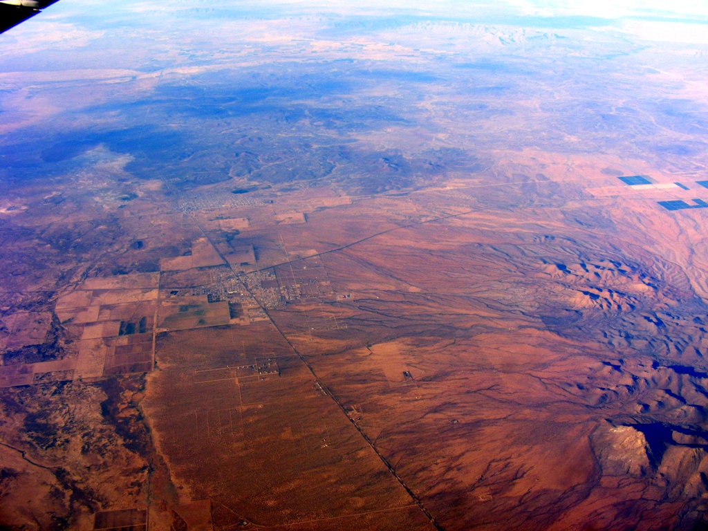
in the mountains. All these images are looking south from my seat on the right side
of the airplane heading EAST back to Atlanta.

That little town down there is Columbus, New Mexico located less than 3
miles north of the border on state routes 9 and 11. Look closely and you
can see the border as a straight line across the photo from left to right at the
south end of that valley.
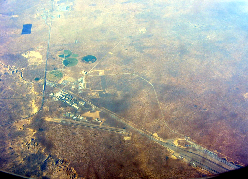
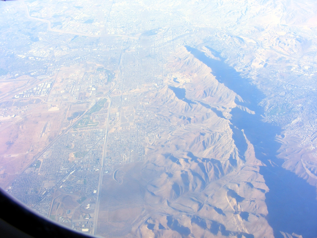
The Dona Ana Airport is seen in this image along with a major railroad
yard. It is less than seven miles north of the border with Mexico.
There is plenty of irrigation in this part of the Rio Grand River Valley.
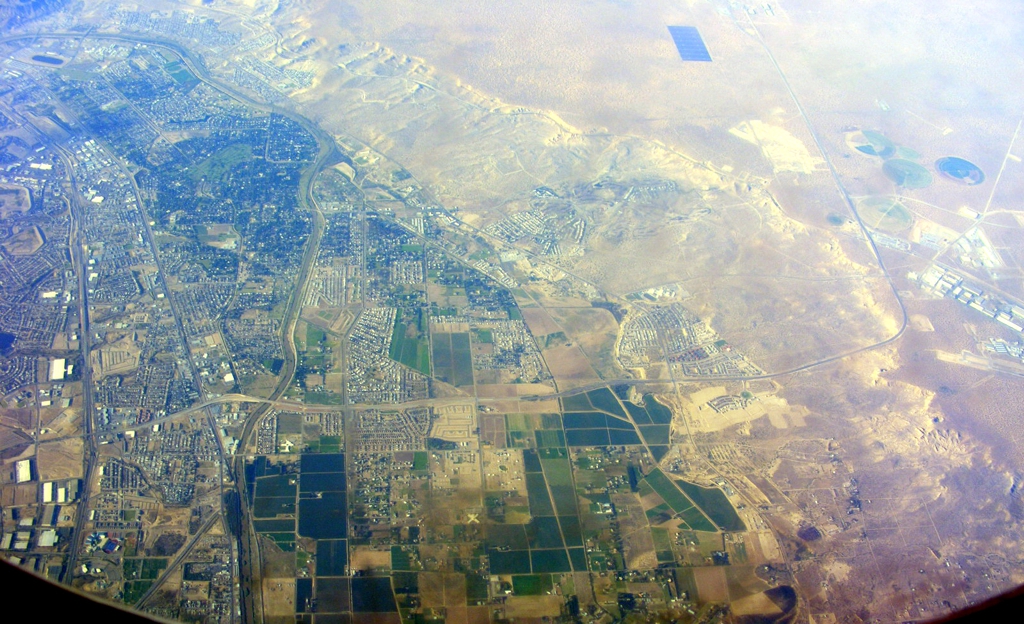
This image shows the Rio Grand River as it winds its way south from central New
Mexico before turning East between El Paso and Juarez. From there the
river is the border between Texas and Mexico all the way to the Gulf of Mexico. That dark rectangle
seen on the right side of this photo appears to be a large array of solar power
panels just one mile north of the U.S. / Mexico border in New Mexico. The
Dona Ana Airport I visited in October 2005 is just off the right side of the
photo and not seen here.
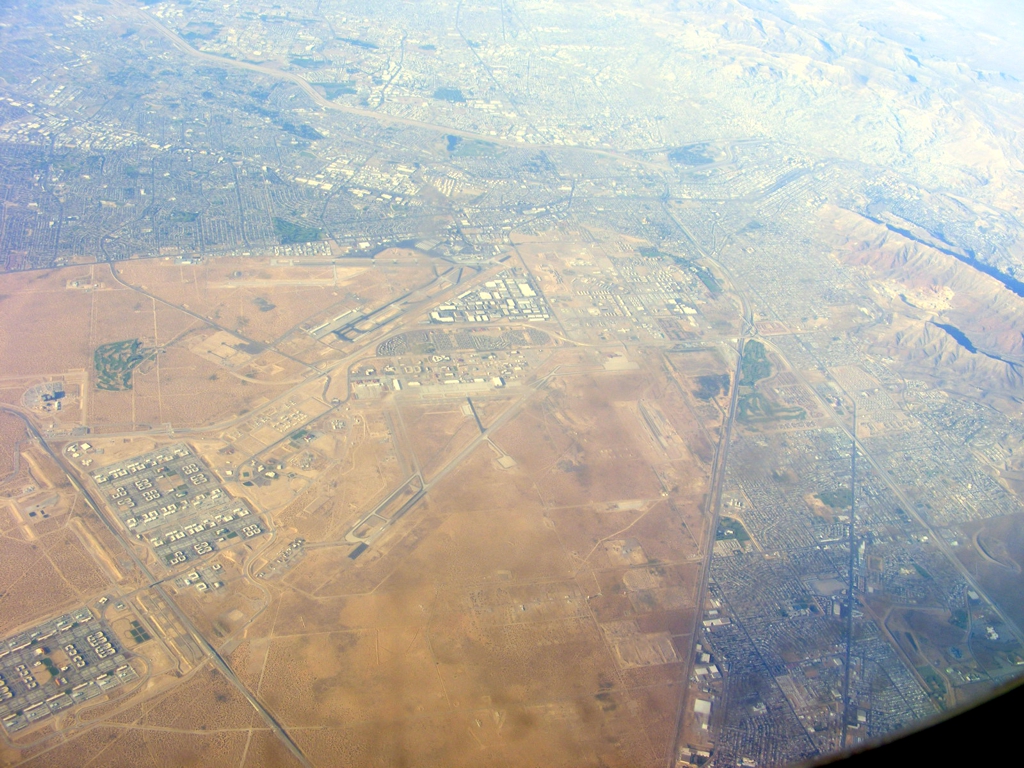
The Franklin Mountains seen in the photo below are between the El Paso
Airport and the Rio Grande River Valley when the river comes down from the north.
This photo shows El Paso, Texas on the near side of the Rio Grand River,
and Juarez, Mexico on the far side of the river.
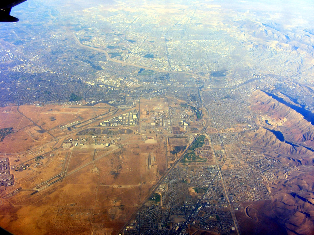
This is the view of the city of El Paso, Texas. The airport runway
seen in the bottom half of the image is Biggs Field supporting the Fort Bliss
U.S. Army base. The other airport with TWO runways in the International
Airport (KELP) for the city of
El Paso.
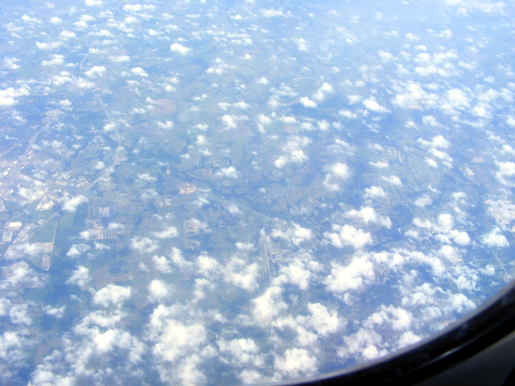
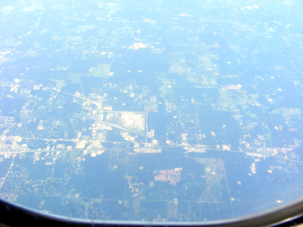
That airport down there near the bottom center of the photo is Mid-Way
Regional Airport (KJWY) serving
Midlothian and Waxahachie, Texas. The runway is 6,500 feet long and is
located about 22 miles south of Dallas, Texas. There were plenty of oil
fields to see in West Texas.
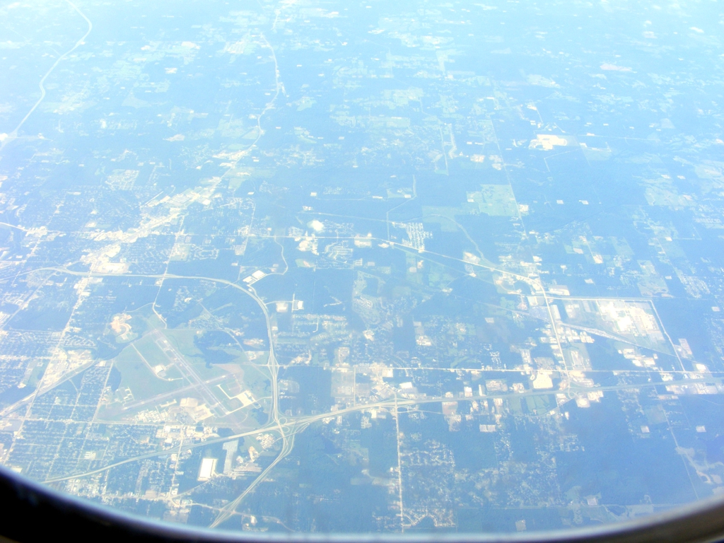
The airport serving Longview, Texas has come into view.
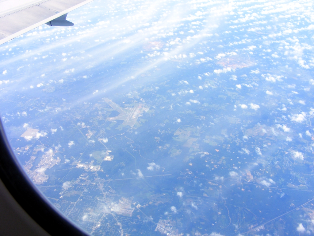
The view of the East Texas Regional Airport (KGGG)
near Longview, Texas is better with less moisture in the
atmosphere to be processed out by my photo imaging program. The camera
angle is closer to looking straight down in this photo. A lot of those
white spots in the darker areas are oil wells.
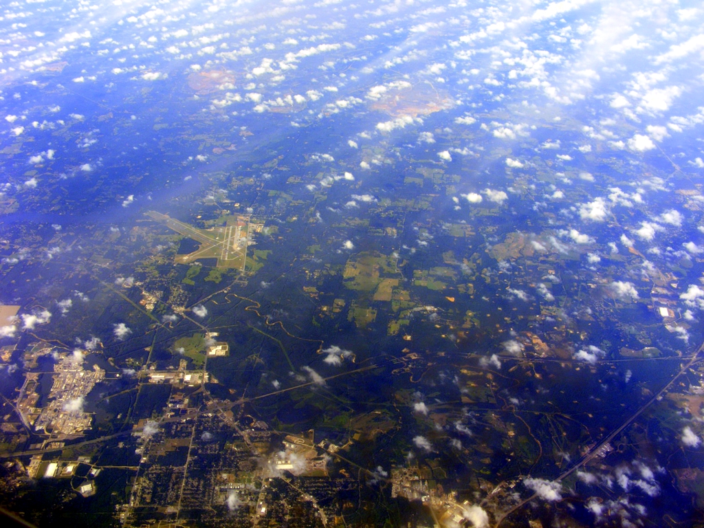
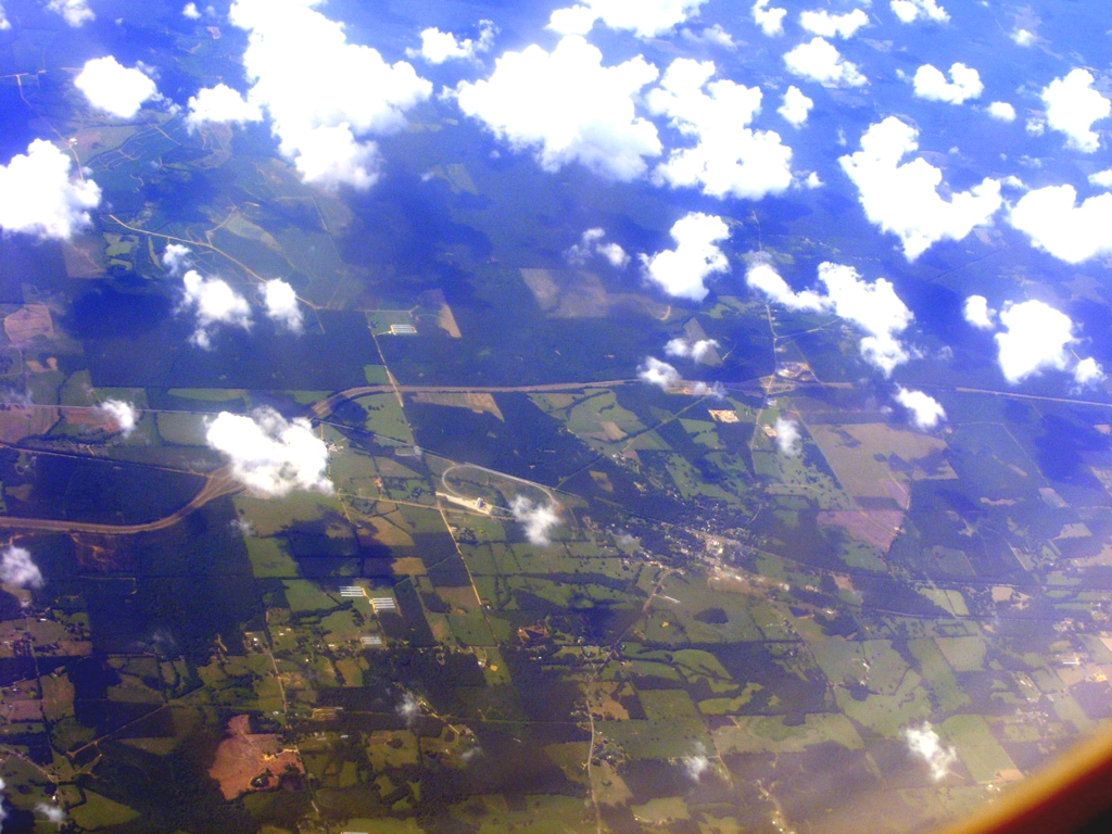
The area near the center of this photo is an open pit mining
operation. You can see how it looked in 2014 using Google Earth about
three miles north of Tatum, Texas.
This is the western edge of the Shreveport area with that last visible
interchange at the right from I-20 showing US 79 that starts turning to the
southwest on its way to Round Rock, Texas where that US highway ends 18 miles
north of Austin, Texas.
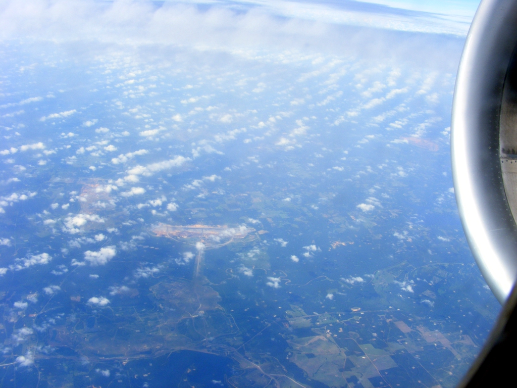
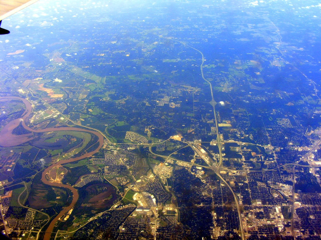
The commercial airport for Shreveport is seen west of the city with
Interstate 20 coming in from Texas beyond the right side of this photo,
This is the south side of Shreveport, Louisiana with Interstate 49 heading
south. That is the Red River at the left side of the photo.
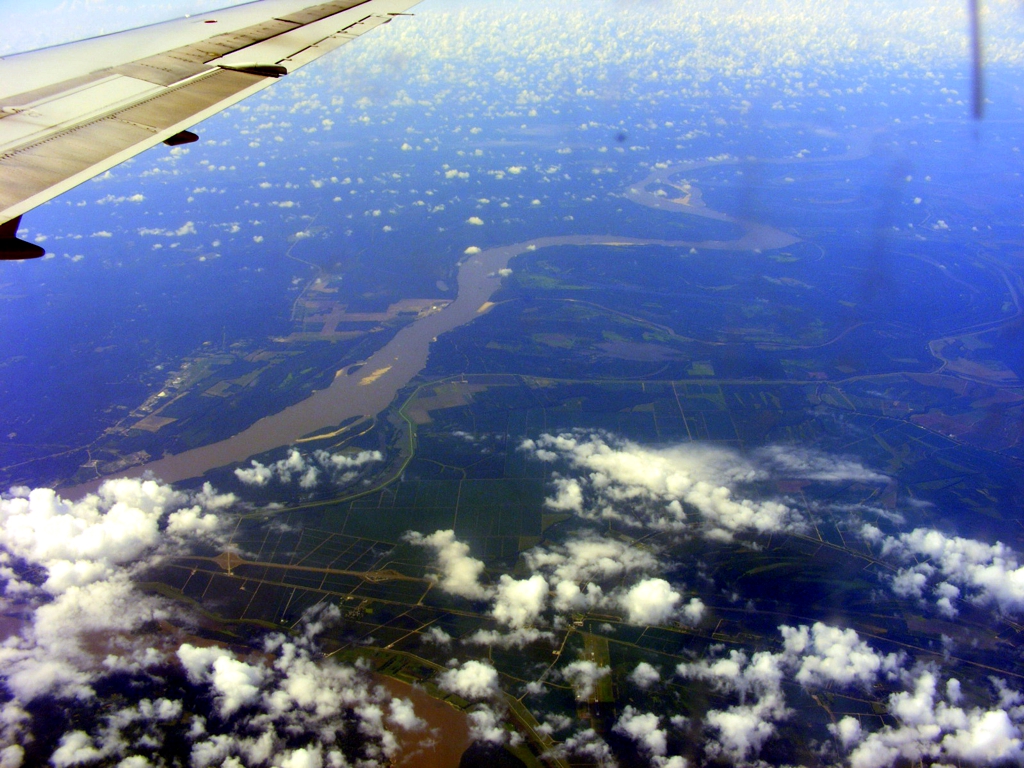
There is the Mississippi River with Interstate Highway 20 crossing the
river below that cloud in the lower left corner of this photo. The state
of Mississippi is on the left with Louisiana on the right side of the photo.
Forest, Mississippi is a small town about half way between Jackson (the
capitol city) and Meridian where Interstate highways 20 and 59 (from New Orleans
area) merge for the trip to Birmingham, Alabama. The Forest municipal
airport is clearly visible next to the town in the image below.
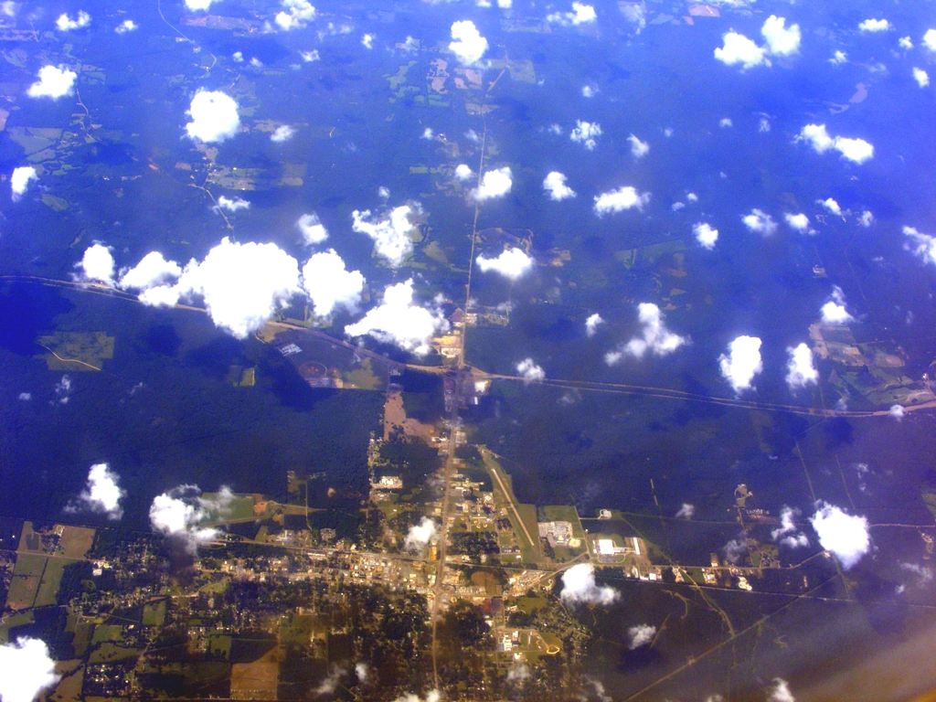
The race track seen in the image below is about 10 miles East of the town
of Forest, Mississippi.
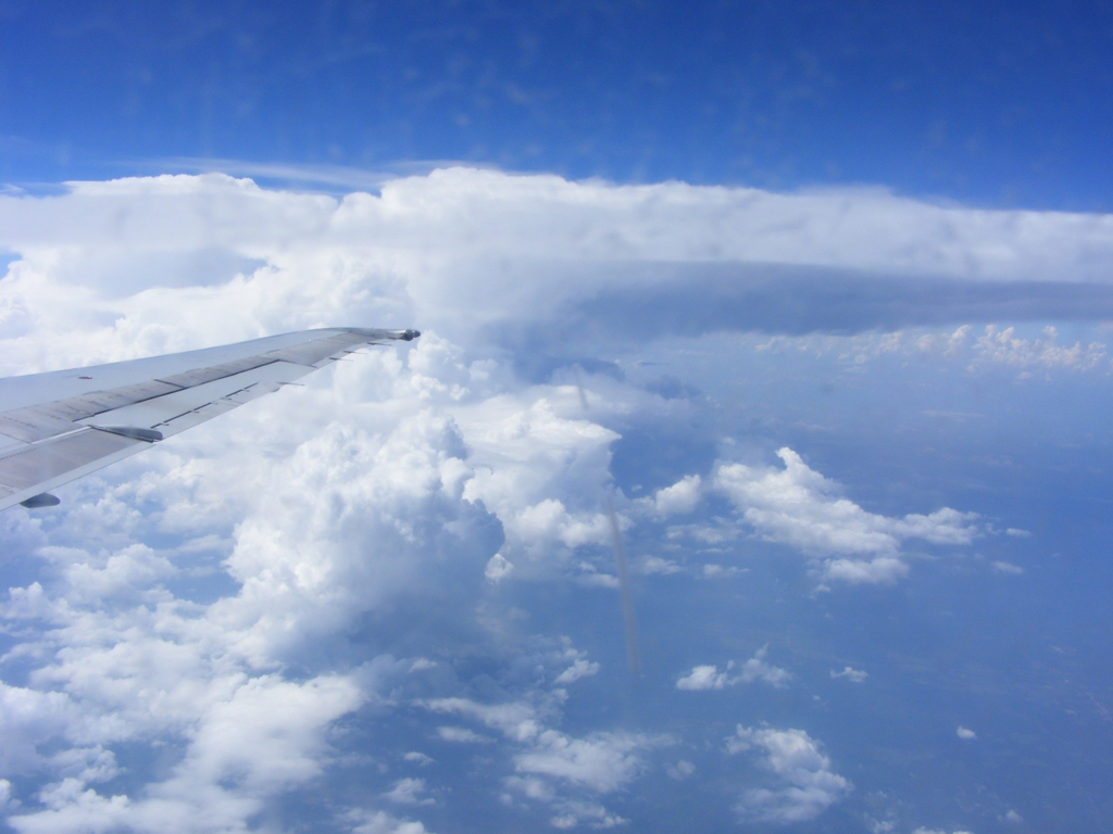
This was my last photo of the day looking south as the airliner turned northeast
on a heading toward the Atlanta International Airport. This photo clearly
shows a near-vertical scratch on the outer window by my seat.
My flight connection in Atlanta was on time and it was good to be back home in Florida.
| Back to Other Travels Menu | RETURN to MAIN MENU |