February in Florida · · PAGE 431.
February 3, 2018: Another overcast day with low ceilings at the Rockledge Airport and a good visit with Bill, but no flying again.
February 6, 2018:
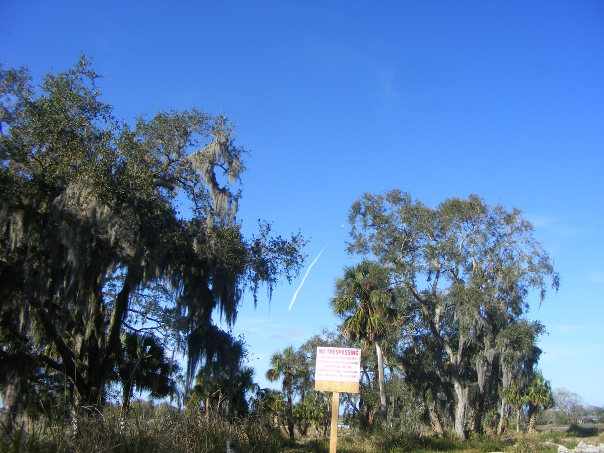
SPACEX launched the Falcon Heavy rocket today. My home is about 40 miles
south of the Kennedy Space Center launch pad 39 where the rocket was launched
this afternoon. Here is the view looking north from the east side of my
house.
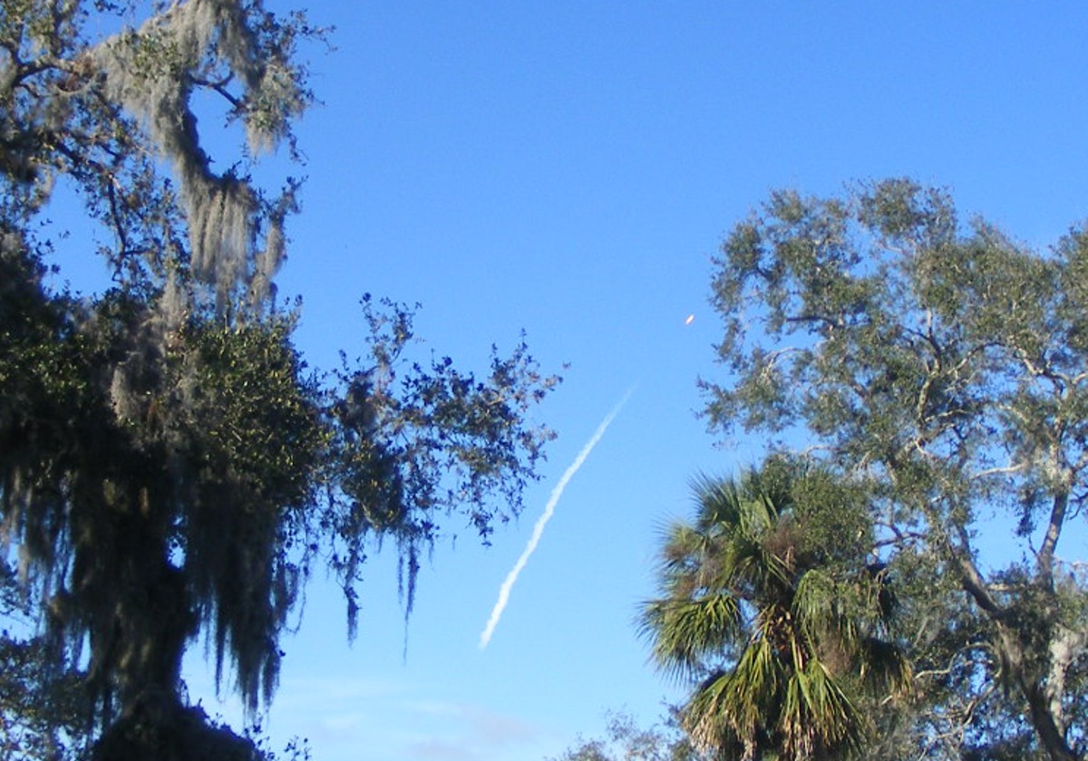
Here is the center part of the image enhanced. The combined flames from the
27 rocket engines are clearly visible.
I got this second image in focus before the rocket flew out of sight using
the zoom lens feature on my camera.
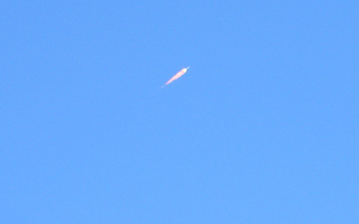
This is the center of the image above magnified.
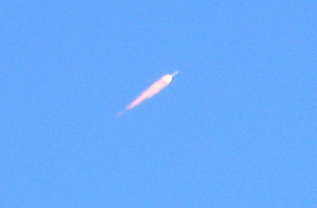
My last image is when the rocket is almost out of sight. All you can
see here is the rocket exhaust.
Again, this image is the enhanced center of the photo above. The
white "DOT" is the rocket engine from the center stage.
No flying for me today. There is always next week.
February 10, 2018: This Saturday was a
day with broken to scattered clouds with winds from the south at ground
level. The takeoff from Rockledge was to the south of course. As I
climbed above 1000 feet MSL, the Dynon unit indicated the wind was about 15
MPH. When I turned on course to fly north above the Indian River, the
winds were at 23 MPH at 2,800 feet. I wanted to be above the Titusville
Executive Airport Class D airspace, and staying over the river kept me clear of
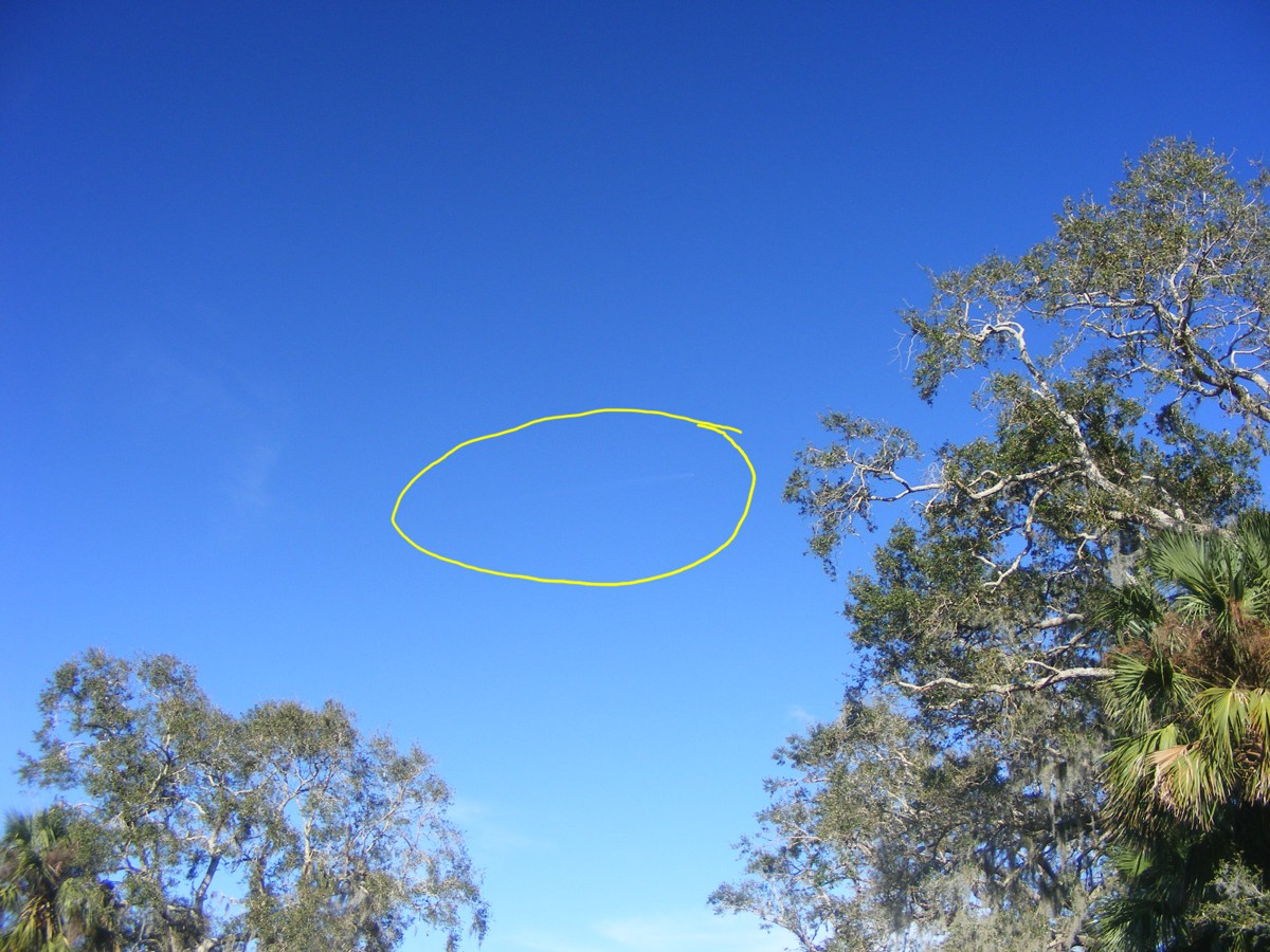
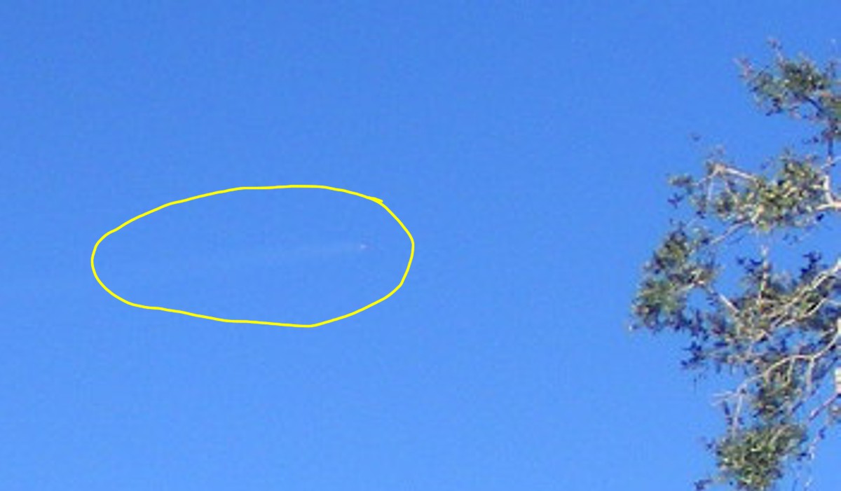
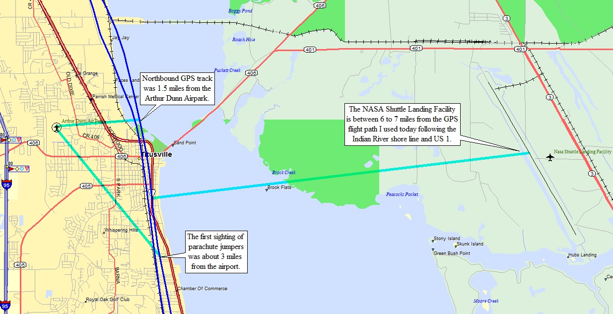
the skydivers dropping in at the Dunn Airpark north of Titusville. I
noticed a couple of parachutes opening below and to the left ahead of my location.
I made some measurements using my GPS ground track which was 1.5 miles east of
the airport. Looking at my slant range, my best estimate was about three miles
from my airplane to the field when I first noticed the jumpers under canopies.
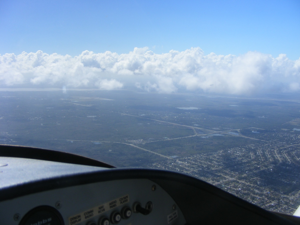
I climbed up to 6,500 MSL to get above the clouds building up away from the coast line. The clouds are usually broken to scattered near Umatilla where I buy fuel. The price went from $3.65 to $3.75 since my last fuel purchase at Umatilla (X23).
When I departed for home, I stayed below the clouds at 2,500 to 2,800
MSL. It was bumpy below the clouds. Holding the camera still was
tricky. The autopilot would keep me on my heading long enough to snap some
pictures.
Turning the camera a bit to the right reveals Lake Monroe which is just
north of Sanford, Florida. The Sanford Airport is Class C below the larger
Orlando Class B air space. Either way, I go around these areas to make
life easier.
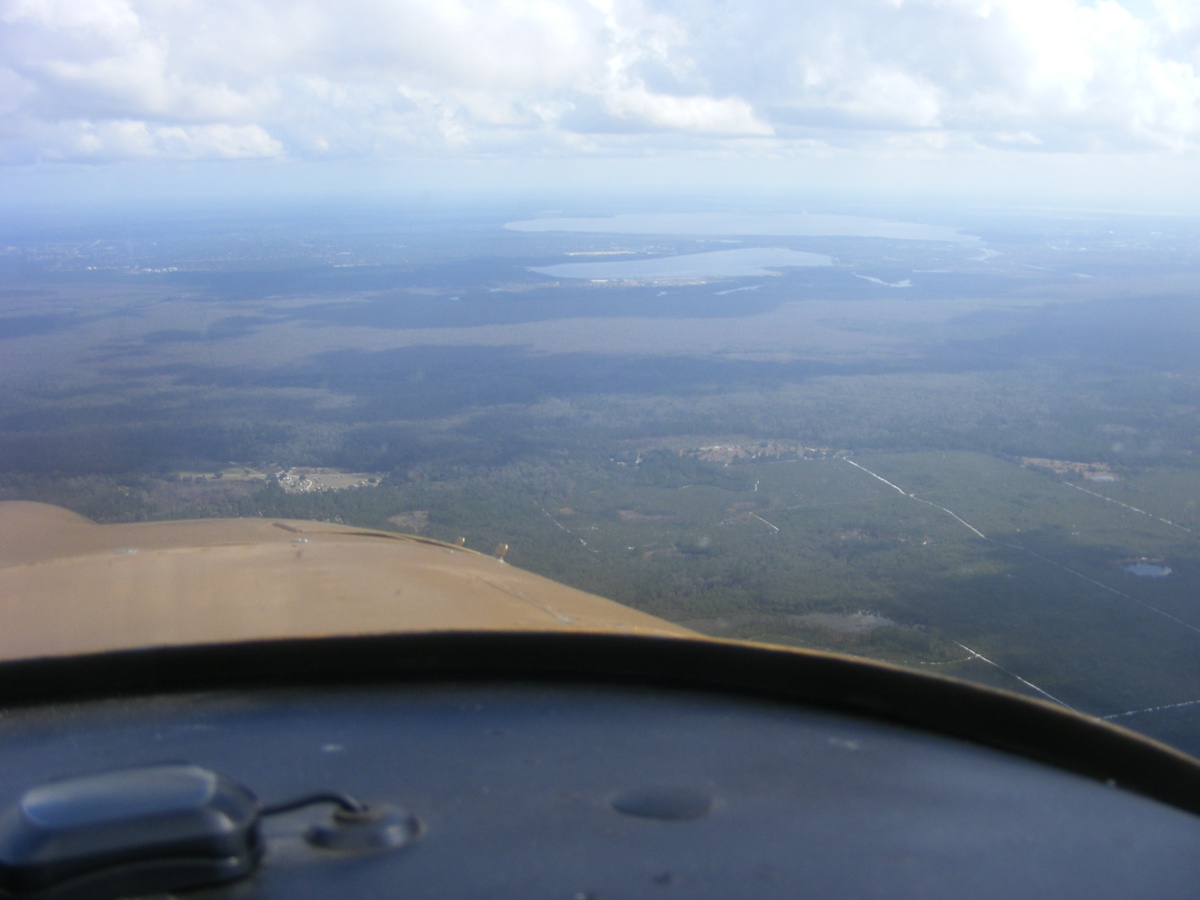
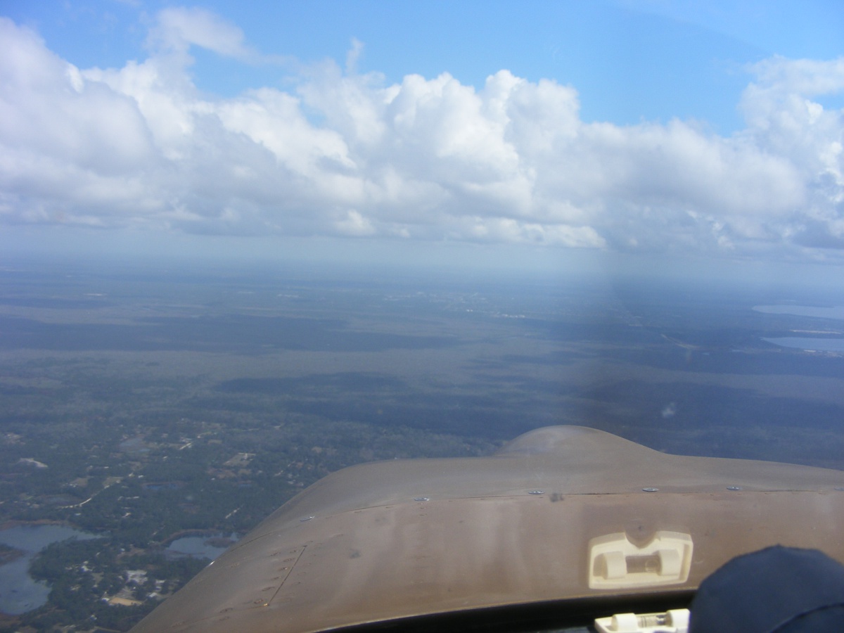
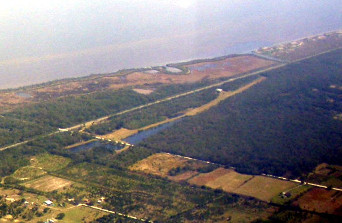
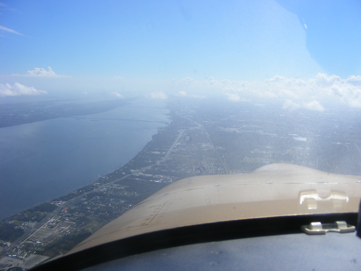
There is still a lot of open country below the airplane. This area
in view is east of the restricted area of the gunnery range southeast and east
of Ocala in the Ocala National Forest. That two-lane highway near the end
of my wing and heading to the northeast is Florida state route 44 going up to
Deland, Florida. That dark green area in the shadow of a cloud is the
Saint John's River winding northward.
In case you are wondering about the camera angle here, I said it was
bumpy. I decided to leave this raw photo here to make the point. The
leading edge of my left wing is at the bottom left corner of the photo.
Dixie Way is that white street down there close to the bottom of the photo
and is probably part of the old Dixie Highway. The clear path near the
Indian River is the right of way and tracks for the Florida East Coast railroad.
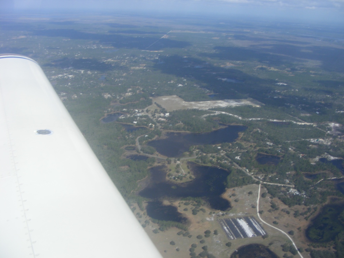
This processed image below is from the right center of the photo
above. It shows Tradewinds Aerodrome as seen from 2,800 feet MSL.
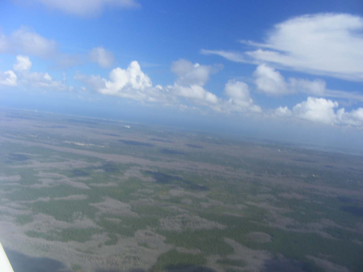
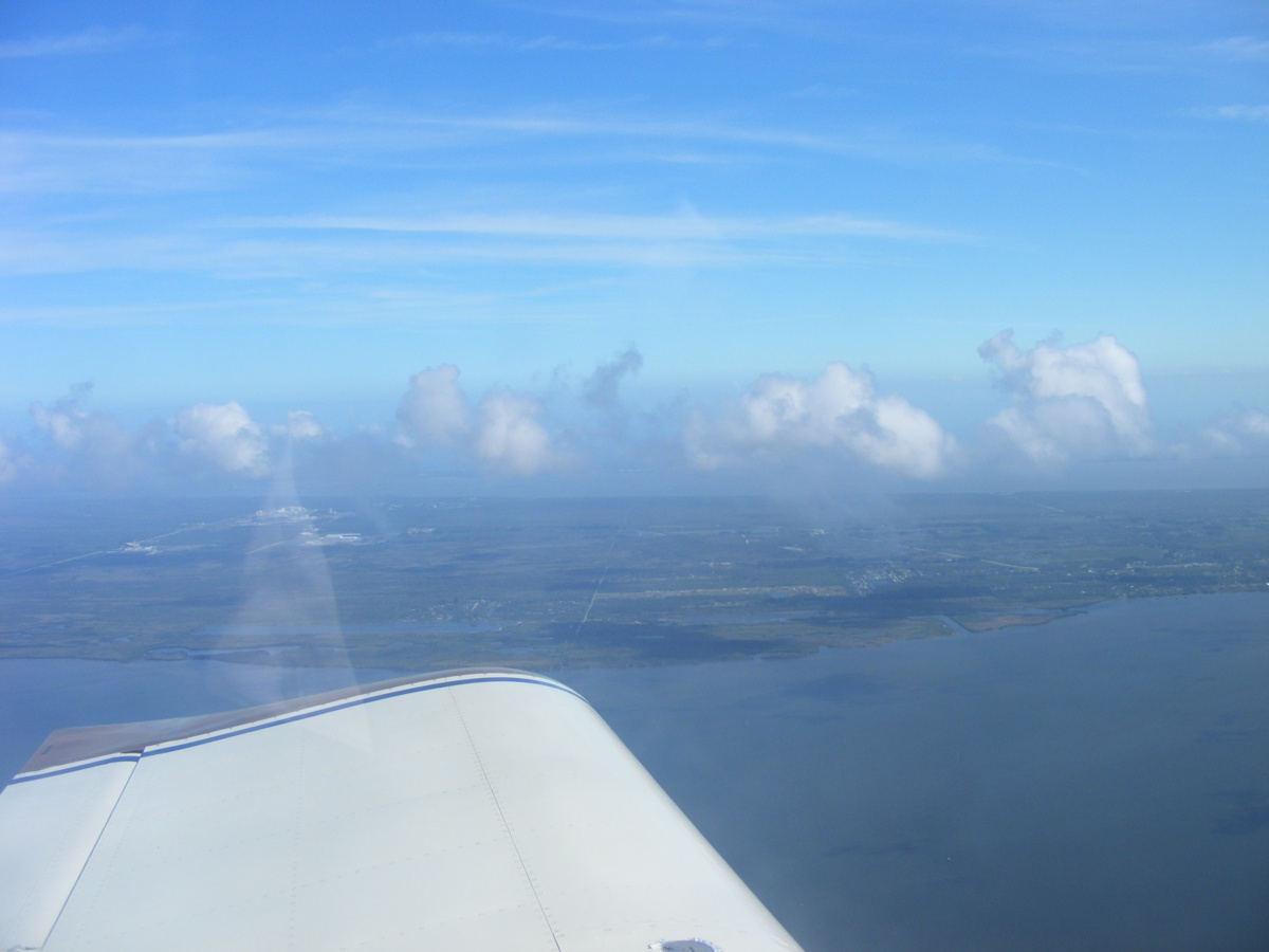
The JET contrails up high and me down here below 3,000 feet makes for an
interesting photo with the clouds over the barrier islands.
The reflection of my white shirt reflects from the inside of the canopy
looking at my left wing and points east of here.
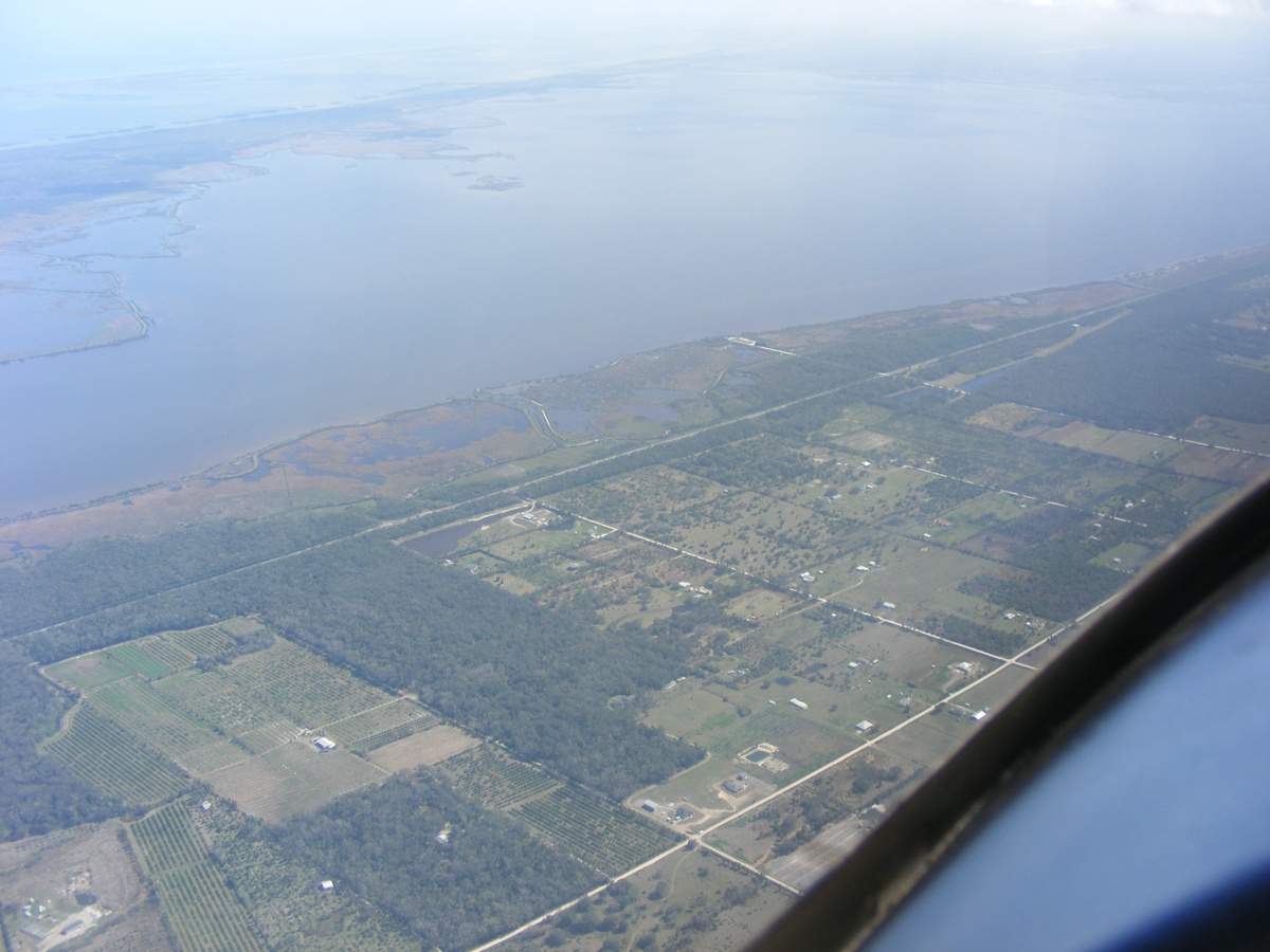
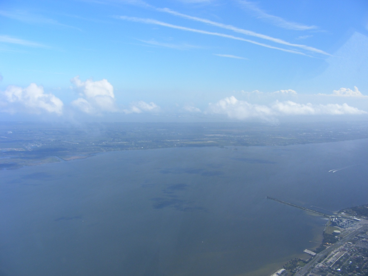
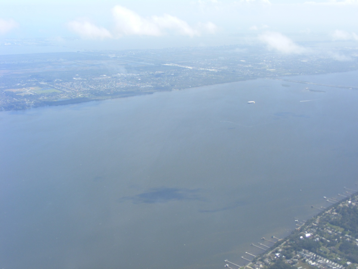
The view to the southwest reveals the I-95 intersection just south of the
Port Saint John housing area. The clouds are lower over there.
The view ahead has the reflection of my white shirt as I neglected to
adjust my polarizing filter on my camera to minimize those reflections.
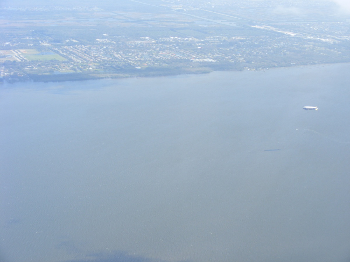
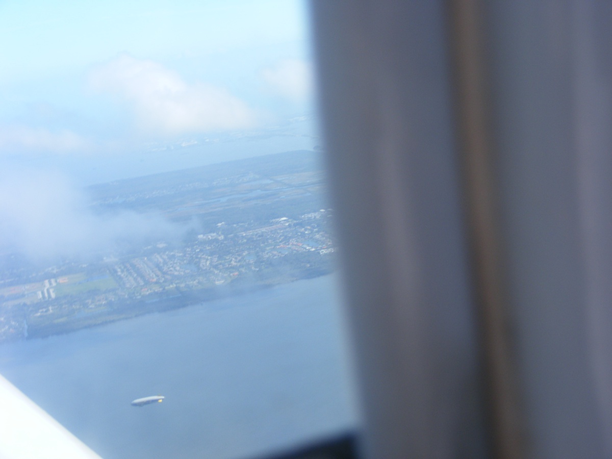
I looked southeast from my position and a familiar shape caught my eye and
this photo. That object is being followed by a boat on the river behind
it.
That is the Good Year blimp out there with his shadow preceding him at
this hour of the day. A smaller boat is on the water just about below the
blimp.
This is about as close as I will get to him as I am on autopilot for the
Rockledge Airport
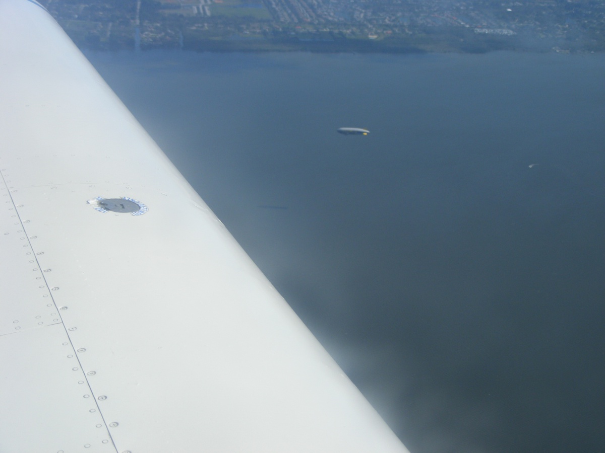
This image is cropped from the one above and magnified.
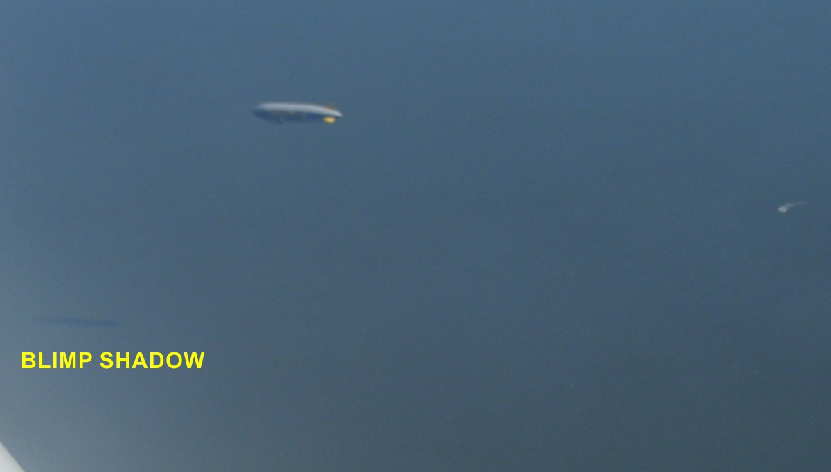
A parting shot out the side of my canopy before he disappears under my
wing.
The remainder of the flight had one airplane pass over the top of me when I was down at pattern altitude for Rockledge airport. It was a Piper retract about 1,000 feet above me as I was getting lined up for runway 18 at Rockledge. The wind was still from the south at about 18 MPH coming down to final approach. I kept the air speed at 100 expecting the wind to drop as I came below the tops of the trees on both sides of the runway near the north end. The air speed dropped as I expected, but I had the momentum to remain above stall speed until I touched down with a little bounce before my airplane settled fully on the asphalt for the run to the south end exit to the ramp. I had two flight segments today of 0.7 and 0.8 hours with Hobbs meter total time now at 413.7 hours. The log book is up to date with another page filled.
| CLICK HERE for PAGE 432 | Return to MAIN MENU |