November Weather · · PAGE 427.
November 11, 2017: Today is Veterans Day in the USA, and there is no mail service today. I was out running some errands yesterday and took a bit of time to stop at the airport hoping to get in a short flight. The ceiling was low at the field before lunch. I came back after lunch and found the weather was no better. The wind was out of the north pretty well aligned with the runway. I had some time to talk with Billy and get current on the status up there. The weather today had a number of rain showers coming in from the Atlantic Ocean and the winds were around 20 MPH as a direct cross wind. By the time I started to post these pages, the clouds here at home are really low, and posting about NOT flying is about all I could do. There were also a few light rain showers here to further "dampen" my weather outlook. The 10-day forecast is looking much better for next weekend.
I did some email clearing from my computer and realized how many weeks I have NOT looked at the AOPA weekly videos. I cued them up and watched at last 15 or more running about 20 minutes each. I did see a story about Levil Aviation and their ADS-B Out solution they featured at the Sun-N-Fun fly-in back in April 2017. They build these units here in Florida and prices have come down since they were first introduced last year. I read their online tech manual and it seems to do all the things I need. I do NOT have to replace my existing Garmin GTX-327 radar transponder. I will keep an eye on them and any other "low-cost" solutions for the 2020 ADS-B OUT mandate.
November 18, 2017:
The weather was good on this Saturday for flying here in Central Florida.
I started the flight the usual way heading north staying clear of the Orlando
Class B airspace, the restricted areas near the Kennedy Space Center, and the
area near Arthur Dunn Air Park (X21)
where they have parachute jumping. The NavAid wing leveler is still
working fine, allowing me to take more photos on these flights. That is
Lake Poinsett where Brevard, Osceola, and Orange counties come together at a
point in the lake. The Saint Johns River flows north from that lake and is
the county line between Orange and Brevard counties. When I was flying
over this area TWO very shiny roof tops in the distance caught my
attention. By the time I got the camera up and pointed that way, the
second object was fading out.
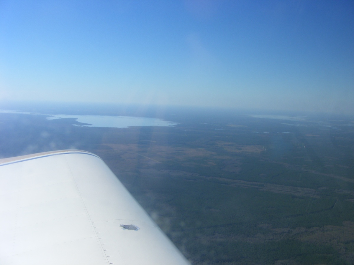
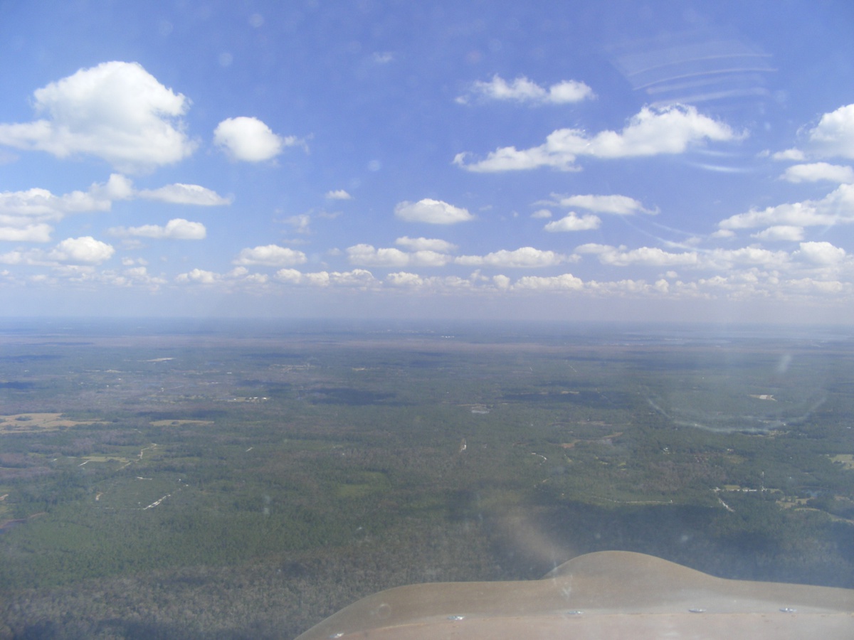
The view ahead has Lake Ashley located about half way between Sanford and
New Smyrna Beach adjacent to state route 415 that runs from the Sanford Airport
up to Daytona Beach. This little lake drains into the Saint Johns
River. One thing to notice in the lower right corner of this photo is my
dash-mounted compass is now covered with buffed black masking tape to prevent
reflections from the inside of the windshield. Flat tape does not easily
conform to the curved surface of the compass. I see that I need to get the
air hose to blow out the dust on top of the instrument panel.
All those water areas are in the residential area of the town of Deltona
Interstate highway 4 seen here connects Daytona Beach to Tampa via Orlando
and Lakeland. This is the area near Debary, Florida with Lake Monroe on
the left and man-made Lake
Konomac on the right side of the highway. That lake serves as a water
cooling reservoir for a power plant. The lake was created where there was
once a swamp. Lake Monroe is part of the Saint Johns River basin with the
natural course of the river heading around the west side of the man-made lake as
the river continues its path north toward Jacksonville. This picture was
taken from above Deltona.
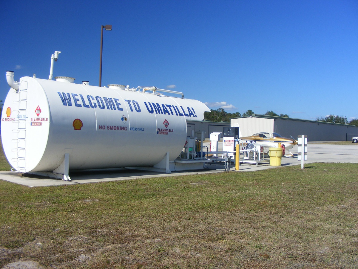
I come to Umatilla Airport to buy fuel when I need it as they have a good
price most of the time. I really did not need much today, and I noticed a
number of aircraft were coming for fuel this Saturday morning. I parked my
airplane away from the pumps and met several pilots as they were fueling.
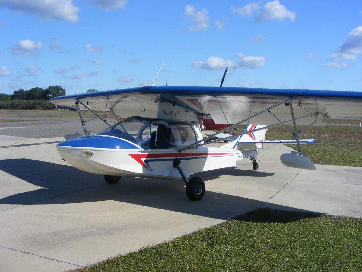
We had a Sea Rey amphibian like this one at the Rockledge airport for a few
months last year. This light sport kit was produced by Progressive
Aerodyne.
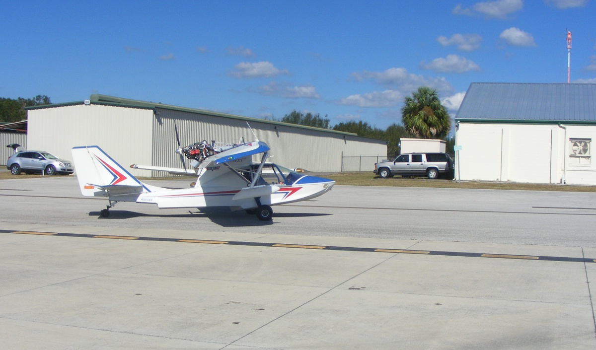
Fueling complete, making way for the next arrivals. The wings of my
RV-9A are visible beyond the Sea Rey.
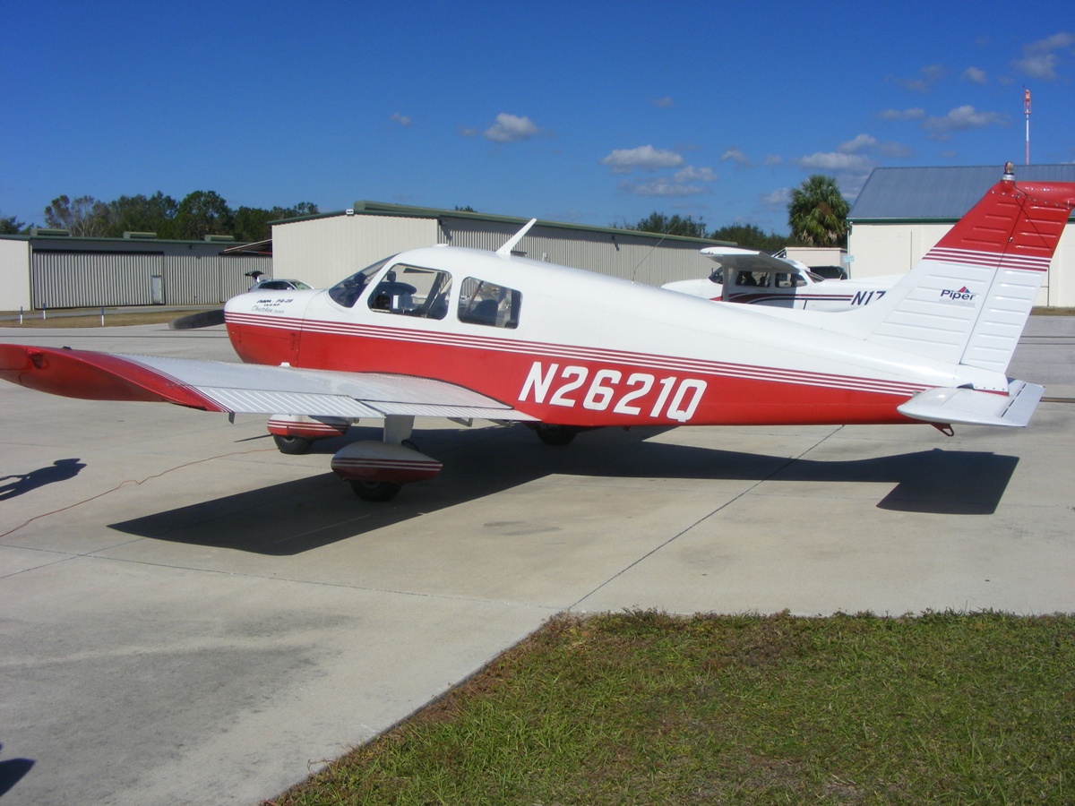
This Piper Cherokee was next in line with a Cessna 172 waiting for the
next turn for fuel.
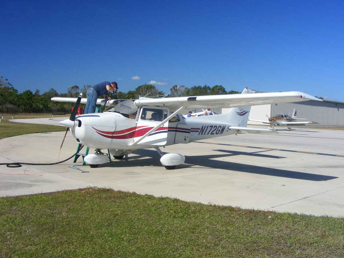
Here is the Cessna which needs a ladder for safe fueling. The pilot
is a Ph.D. Graduate Student at Embry-Riddle Aeronautical University. He is
compiling data on the types of pilots adopting ADS-B equipment in their
aircraft.
It is finally time to top off my tanks with just over 10 gallons of fuel
and head for home.
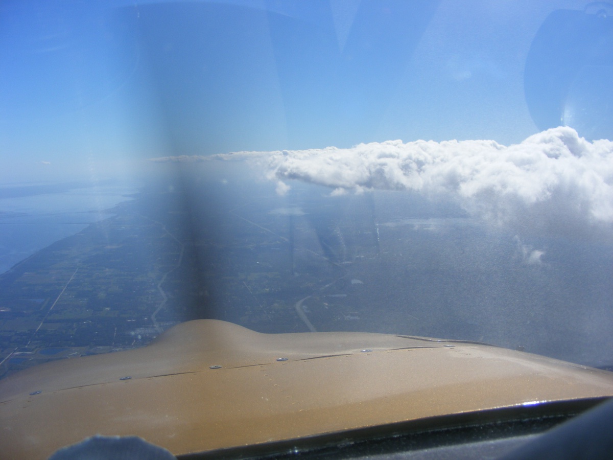
Departing Umatilla heading EAST finds the clouds a bit higher as the
surface temperatures are greater compared to my arrival time. The right
side of the image shows a reflection of the stuff I have on the right
seat. I can also see my GPS antenna reflected from the windshield.
I really need to clean the inside of the canopy again. If that is
very thin wispy cloud cover out there, I did not remember it since it is not an
issue for visibility on a VFR flight.
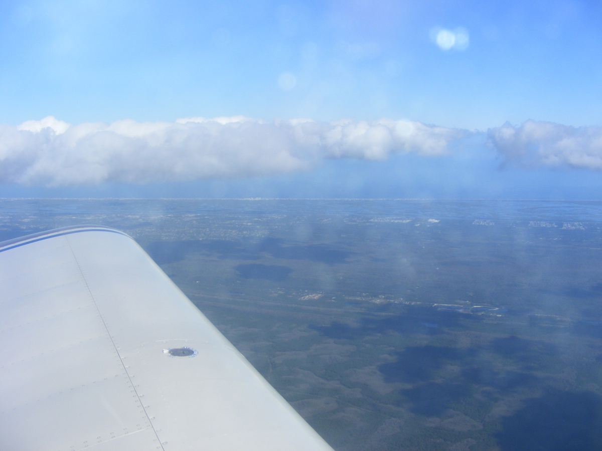
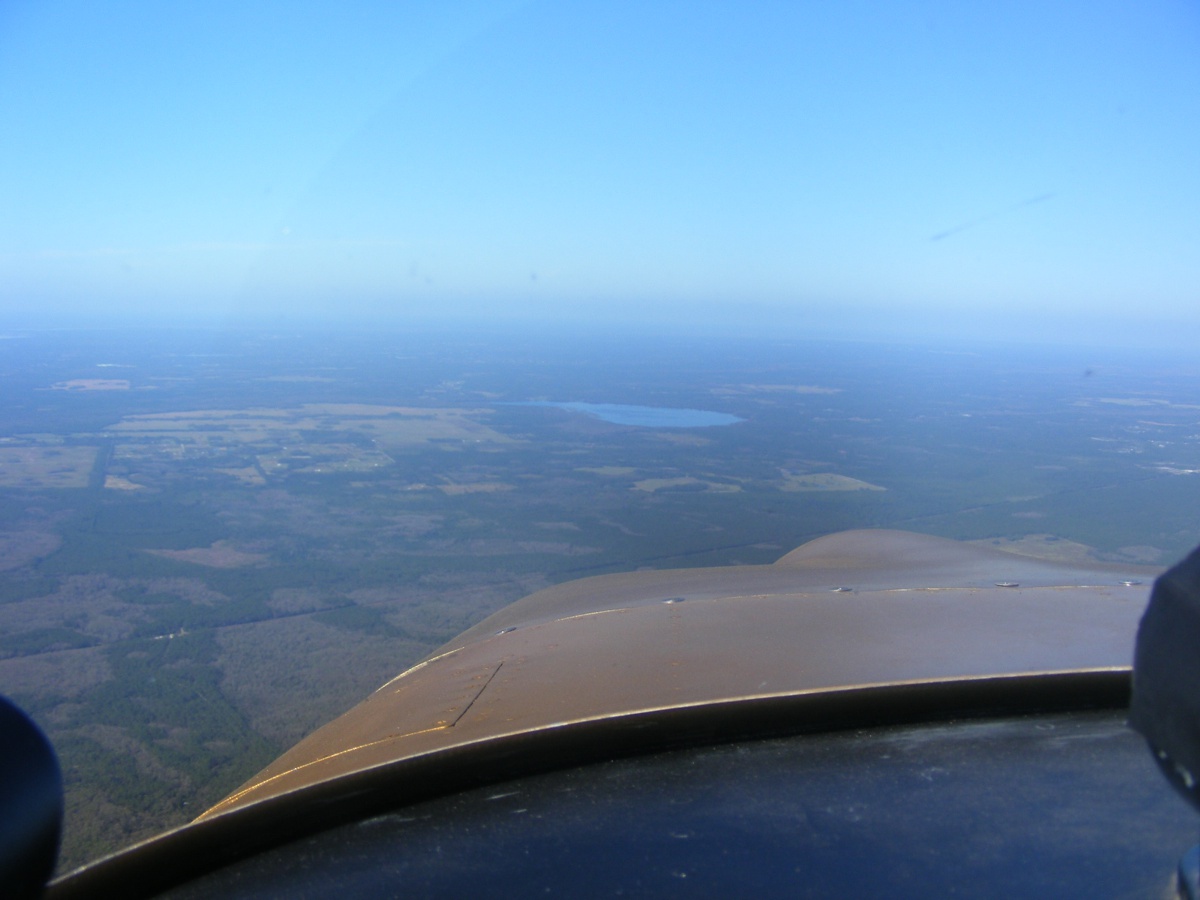
As I approach the ocean, the cloud cover at 5,500 MSL is left
behind. That "V" shadow reflected from the inside of the
windshield is the support bar that is now covered by buffed black duct tape that
is seen at bottom right corner of the photo. The lighter space around the
"V" shadow is dust on top of the instrument panel. This really
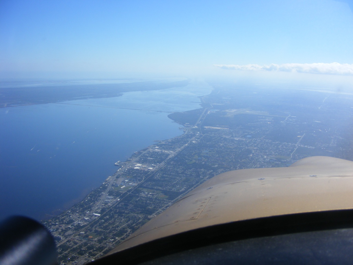
convinced me to use the air hose to clean this area. US 1 and I-95 are
down below as I turn south now that I am clear of the Orlando Class B air space.
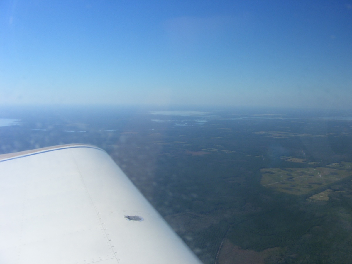
The cloud cover over Kennedy Space Center is almost non-existent today.
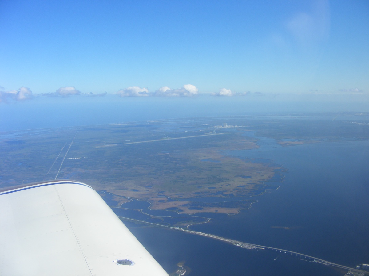
Titusville Airport (KTIX) is ahead in the haze. I will fly over
their Class D air space as usual, on course for the Rockledge Airport.
The Hobbs meter reads 408.6 hours total time when I put the airplane in the hangar. Total round trip flight time today was 1.6 hours
| CLICK HERE for PAGE 428 | Return to MAIN MENU |