Local Flights Near Chattanooga · · PAGE 231.
Novermber 26, 2006: This Sunday was a time
to get airborne again for just the fun of it, and to get some AVGAS in the tanks at
Collegedale. I also loaded up the video camera to try out my hi-fi sound system with
the digital camcorder. The tape player sound quality went on to the video tape sound
tracks with great results! Of course I could not confirm that until I got home
Sunday evening. I took a couple of snapshots with my old digital camera during the
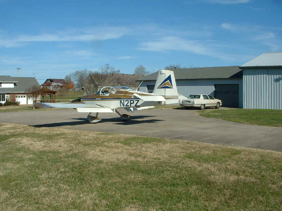
day, and also grabbed some video frames to post on this page. Here is the
"Enterprise" on the ramp before departure at 3 PM Eastern Time.
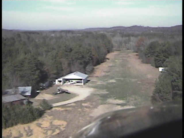
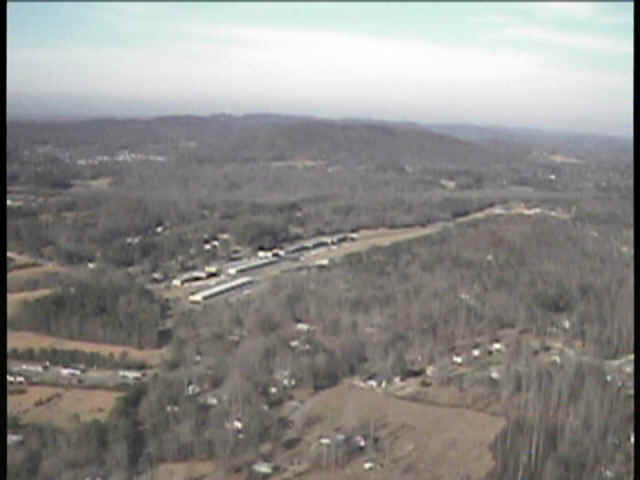
Here is the first of the video frame snapshots showing a nearby private
airfield where my airplane was painted. I had to select a frame without my propeller
blade visible. The shutter speed on the video camera is very fast, providing a view
of the propeller blades when shooting through the prop arc looking forward.
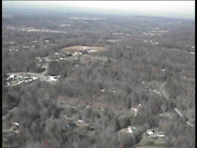
The "Choo Choo" VOR is just off the left side of my usual flight path
going from Folks Field to Collegedale. That round bare spot on the hill has the
white VOR antenna cone and the TACAN antennas in the center.
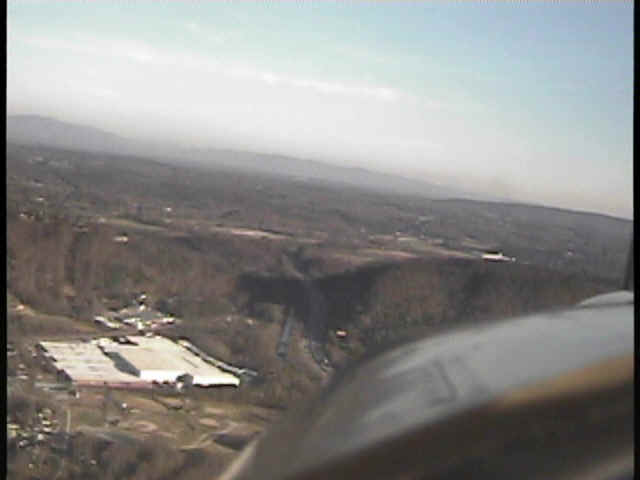
Here is the view of the Collegedale airport from four miles south of the field.
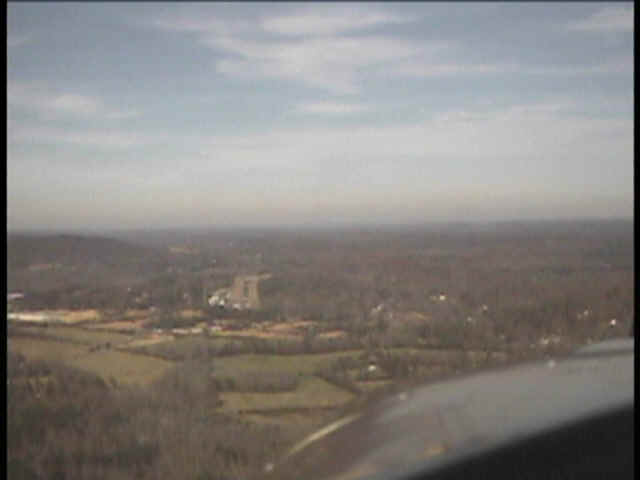
When flying the downwind leg for runway 21, the view of the runway is blocked
by trees on the ridge just East of the field.
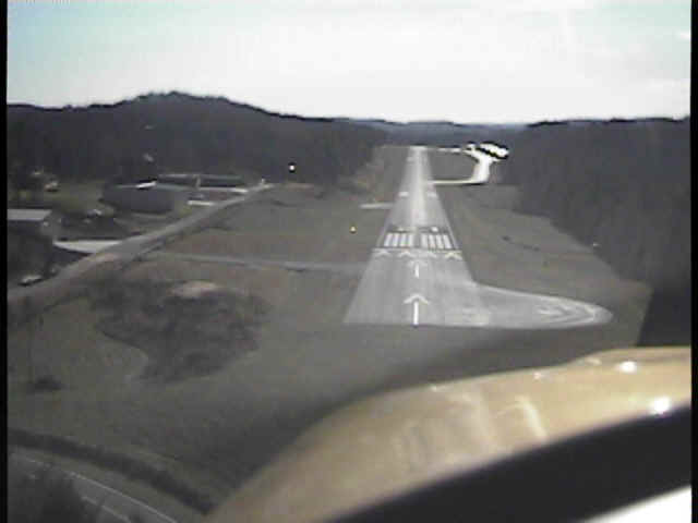
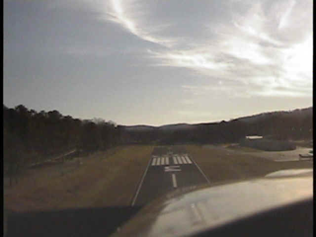
Here is the final approach view from the video camera. The sun is almost
in the field of view and wiping out the shot. I would later see what happens when
the video camera is pointed toward the sun. The video stops when that happens.
The camera puts out snowy gray pictures when that happens. You can see part
of one propeller blade at the right edge of this photo.
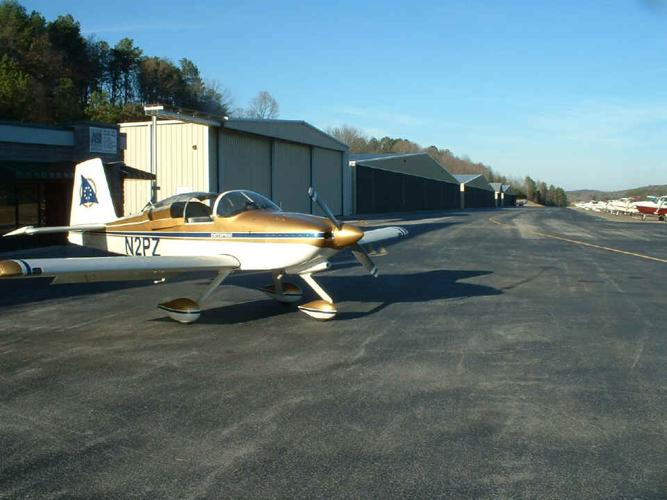
Here is my trusty steed parked on the ramp at Collegedale, full of gas, and
ready for departure. During the fuel stop, I talked with several people who were not
aware of Van's Aircraft kit airplanes.
Back to video snapshots, here is a shot during takeoff roll on 21. The
compass rose is at the north end of the runway. I taxiied across it several times in
different directions to check the calibration of my wet compass.
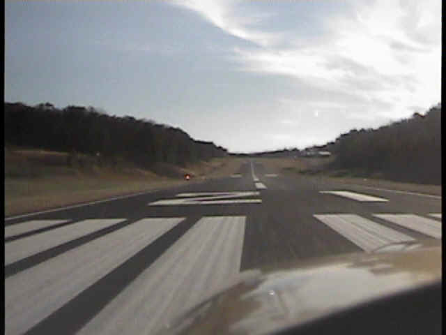
I stayed low over the runway to build up speed when reaching the other end of
the runway.
Below is a section of the US 41 highway entering Ringgold, GA from the north
side of town.
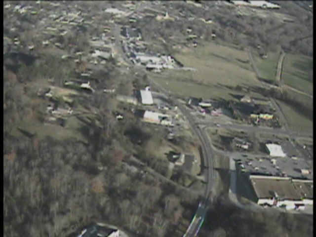
South of the town is the cut in the ridge where Interstate 75 passes Ringgold.
The mountains in the distance are on the other side of the valley where my home
town is located (Dalton, Georgia).
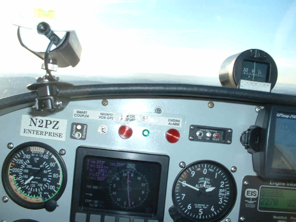
During this flight, I managed to get this screen shot of my Dynon D10-A with
the new HSI page displayed. The flight home was heading into the sun at this time of
the day. It made it very difficult to see without pulling the hat brim way down low
and listening to Chattanooga approach for other aircraft advisories. I did notice a
flight of four birds off my right wing at one time during this leg of the flight. I
hate it down low, birds, bumpy, and running the mixture richer than during my long-cross
country trips above 10,500 MSL.
| CLICK HERE for PAGE 232 | Return to MAIN MENU. |