June 2022 Vacation Day 19, Lunch in
Nebraska · · PAGE 49.
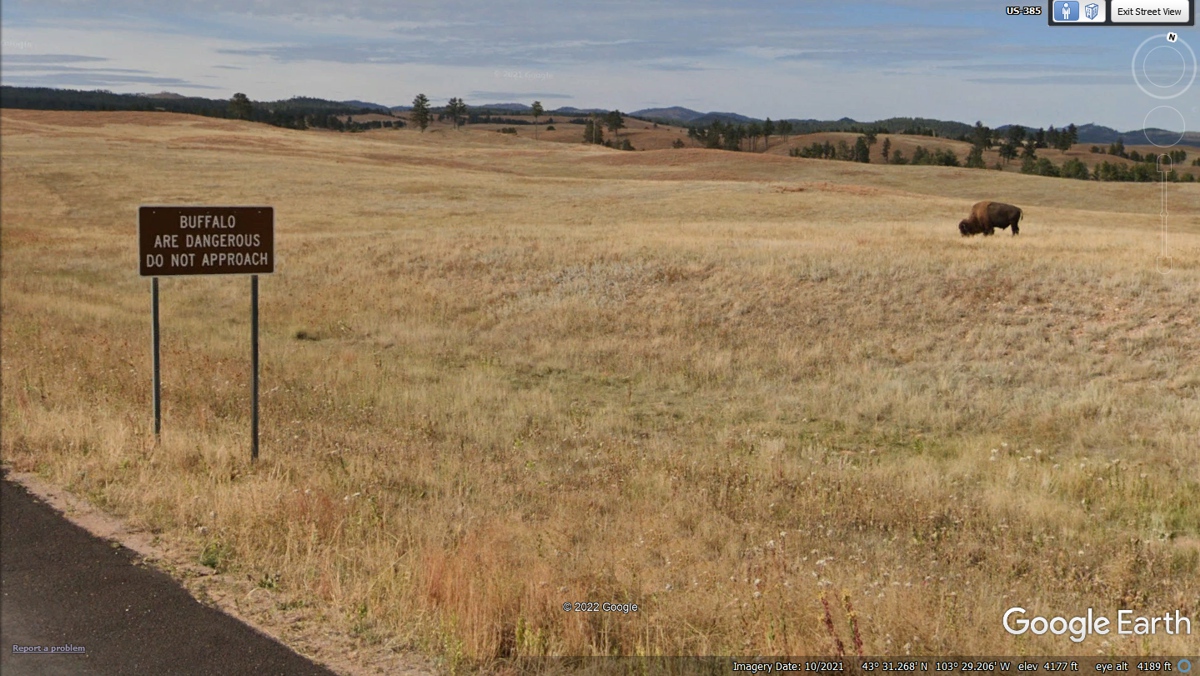
June 10, 2022: The folks driving
north entering the Wind Cave National Park could possibly see a solitary Bull
Bison. The park rangers have placed this sign in an area that should be
near the south end of the range where they graze. This solitary male proves the
rule. We were going south and I looked north from the
Google Earth imaging vehicle at this location.
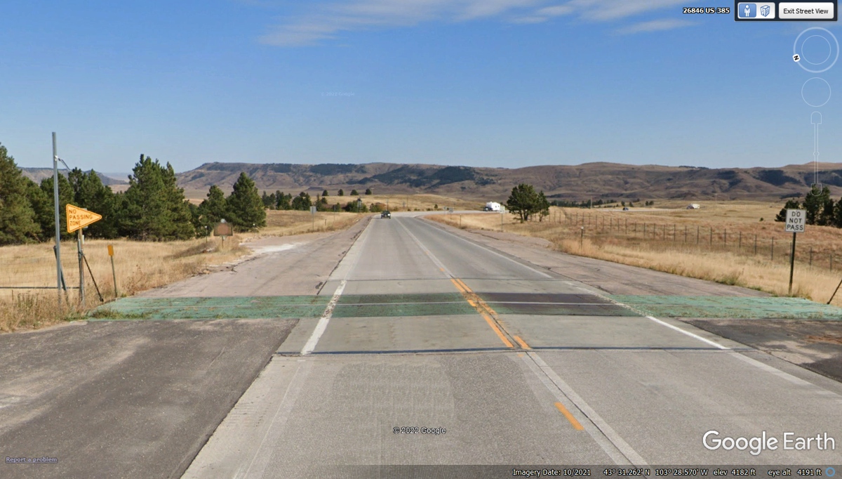
This Cattle Guard and the fences on both sides of the highway suggests
this is the south boundary of the national park and the end of Bison free range.
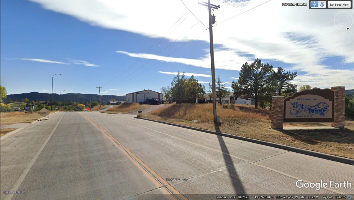
The town of Hot Springs, South Dakota brings us to the normal world again
from the isolation of the National Parks.
September 18, 2022: I have been adding
to the experience of our 23-days of vacation across the Western States of the
USA with these images from Google Earth and my memories that they revive.
This particular image with it's REAR VIEW came about as I was "flying
over" US 385 entering the town of Hot Springs, South Dakota. Looking
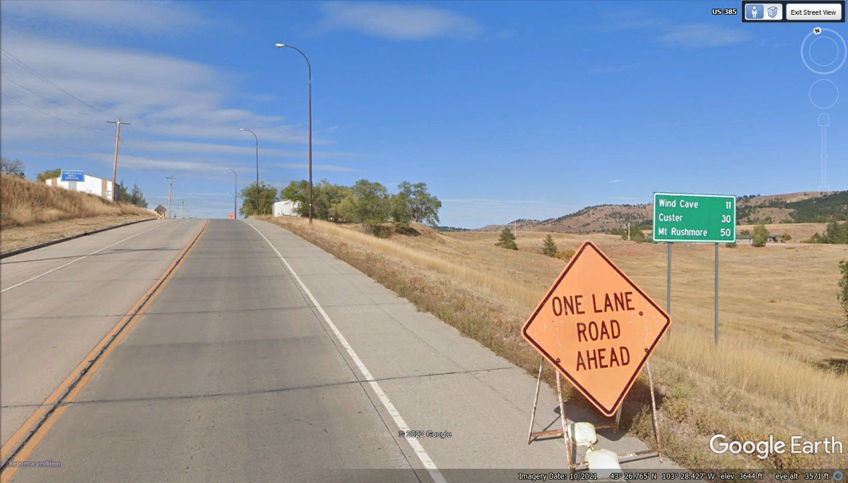
down reveals the shadows of road signs and other highway markers. This
green sign is about the last hour of driving from a well-known national monument
through an area where Bison roam free on an open range. This GREEN marker
sign reveals the distance to places ahead of Northbound travelers on this
highway. I have been commenting about them in the photos above on this web
page and previous pages. ALL the web pages in this 2022 vacation are for
those of you who may never get the chance to roam around the country to meet the
folks who live in these places and see the animals that are protected by the
sanctuaries that are national parks.
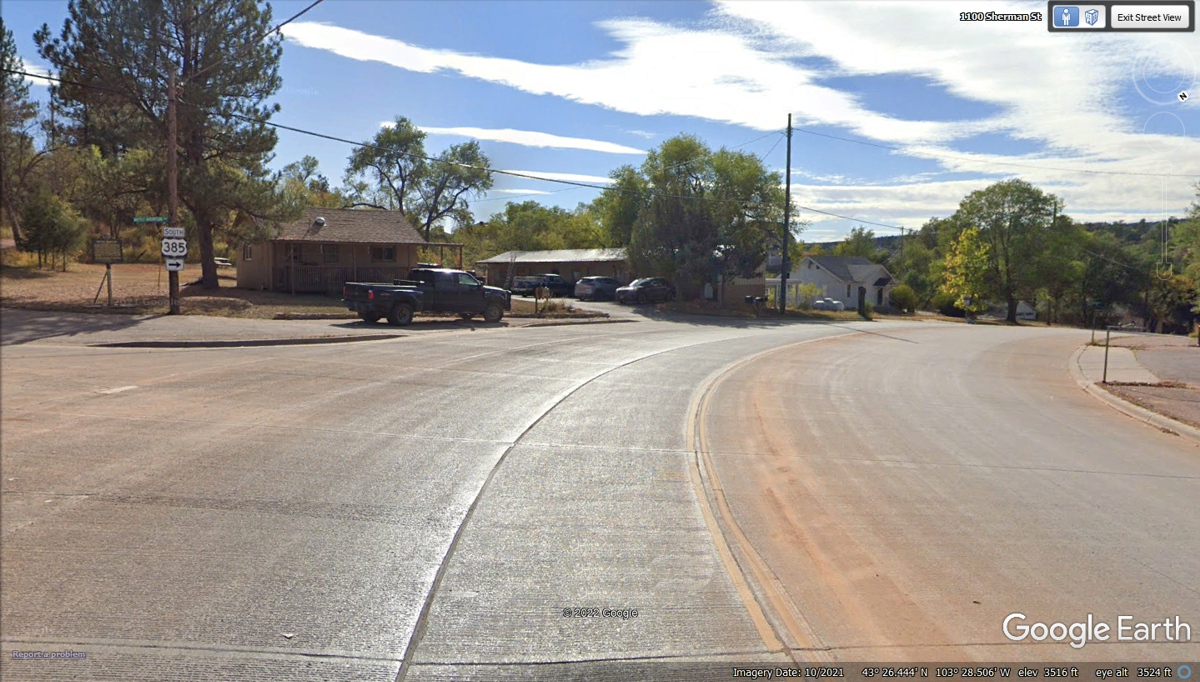
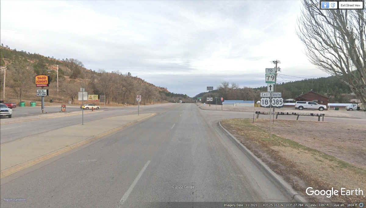
As US 385 enters Hot Springs, SD is has a sweeping right
turn with the route sign you see and an historical marker next to it about the
town. Thankfully, these information markers are available on the internet
with high-resolution images that are easy to read as seen in the images below
this one.
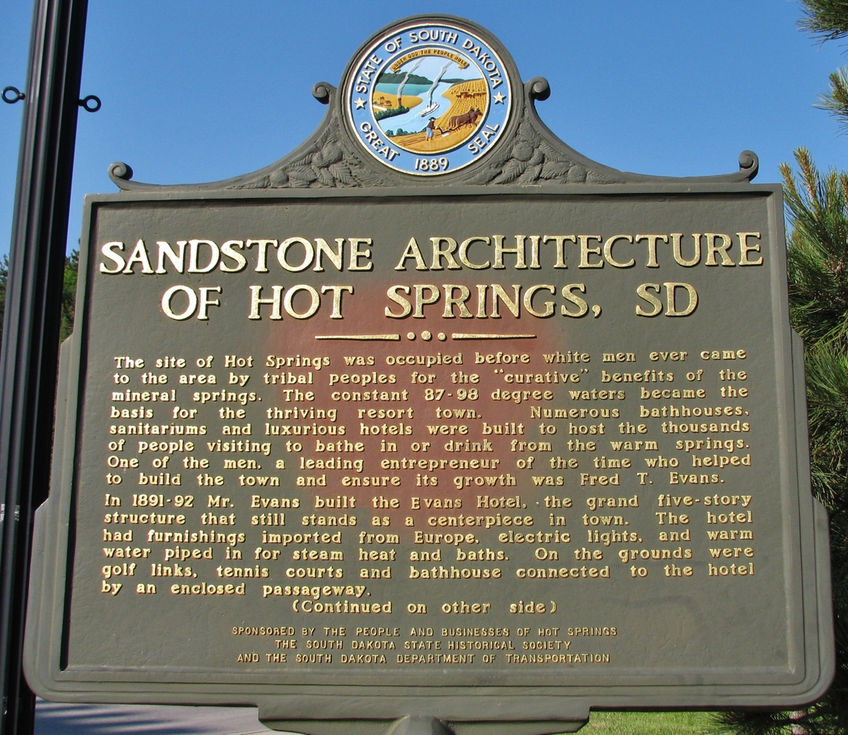
This is the front side of the historical marker about Hot Springs,
SD. The back side of this marker is in the next image below this one.
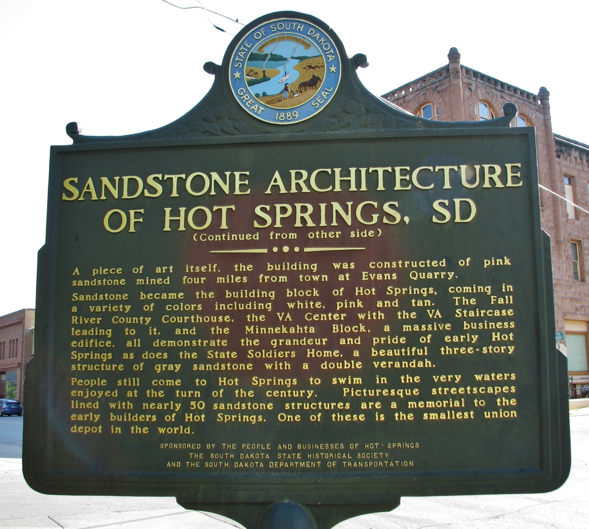
Here is the other side of that marker about the town of Hot
Springs, South Dakota.
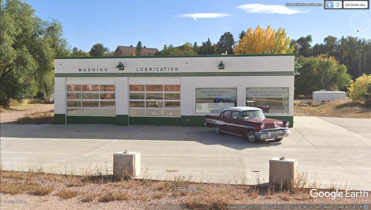
Here is a classic 1957 Pontiac and an older service station
that does not sell fuel anymore.
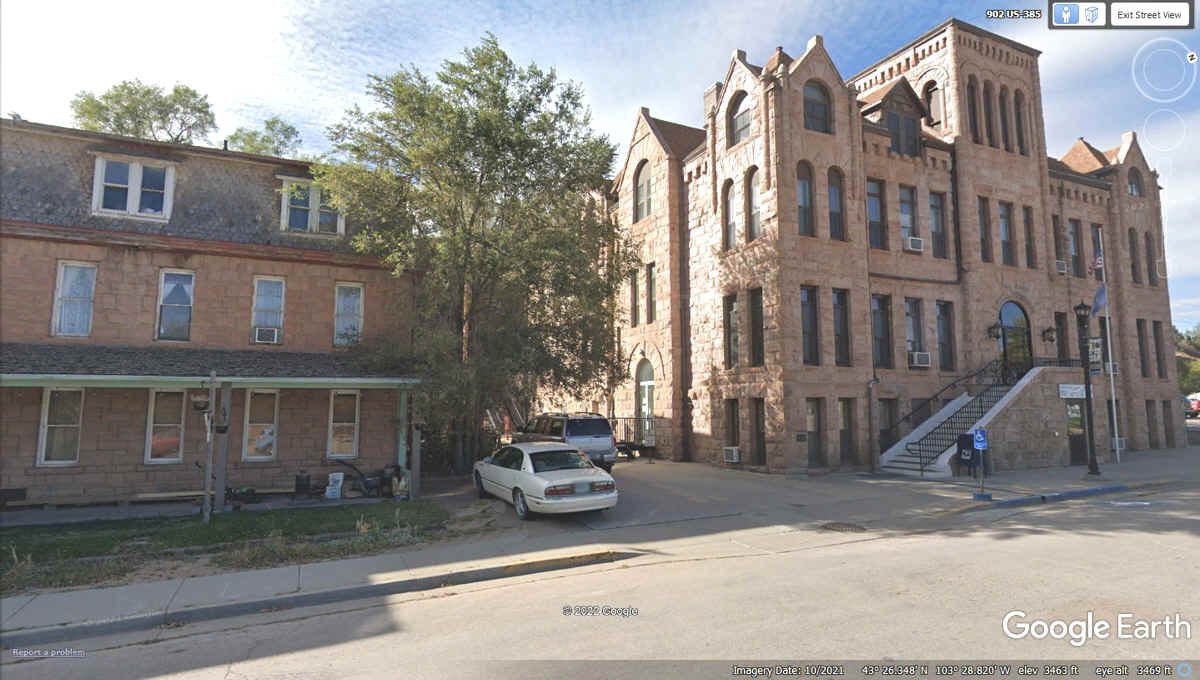
This is River Street in Hot Springs, SD. Fall River
runs behind these buildings in front of those big trees on the right side of
this photo looking south.
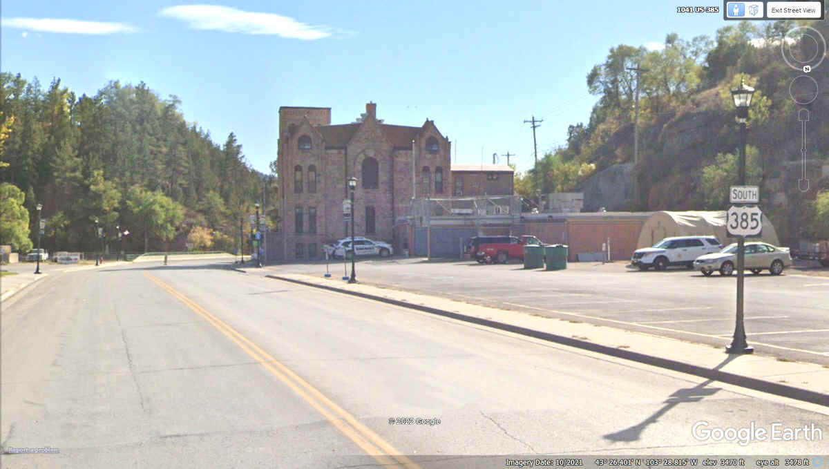
The Fall River County court house is in the right half of this
Google Earth image.
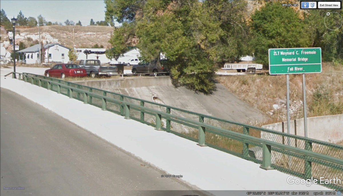
The county is named for the FALL RIVER which flows through the town of Hot
Springs as seen by this sign. The bridge is named for a veteran aviator from
World War 2 shot down in a B-17 Bomber.
We departed Hot Springs south on US 385 heading for Chadron, Nebraska
about 47 miles from here to get lunch before the remainder of this day with a
hotel waiting for us in Aurora, Colorado which is a city near Denver. More
to see as we head that way.
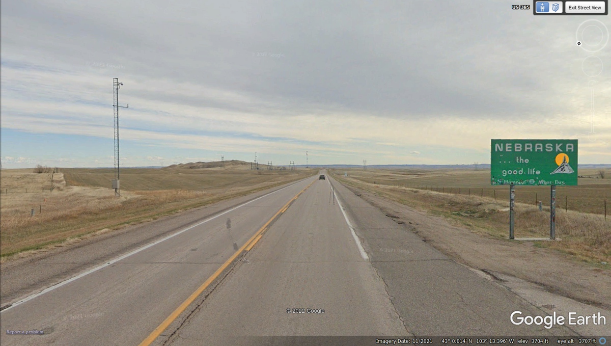
Before we left Mount Rushmore, I mentioned to Linda we
could add a new state to our list of places with a minor JOG East to the town of
Chadron, Nebraska for lunch. I have been collecting state line sign images
on this trip all the way from Florida.
When US 385 gets to the junction of US 20, TURN LEFT and
head East to the town of Chadron, Nebraska.
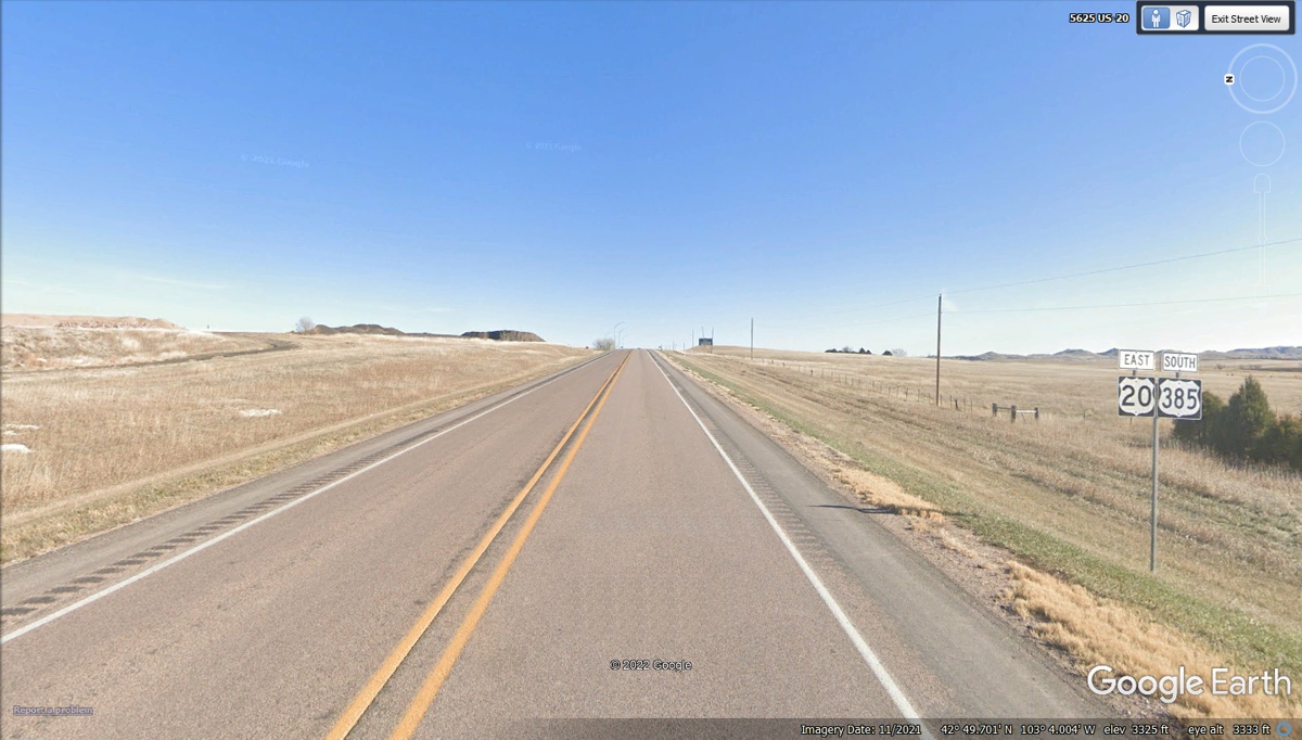
This information sign indicates Chadron is just ahead and
Chadron Sate Park is 8 miles south of the next intersection.
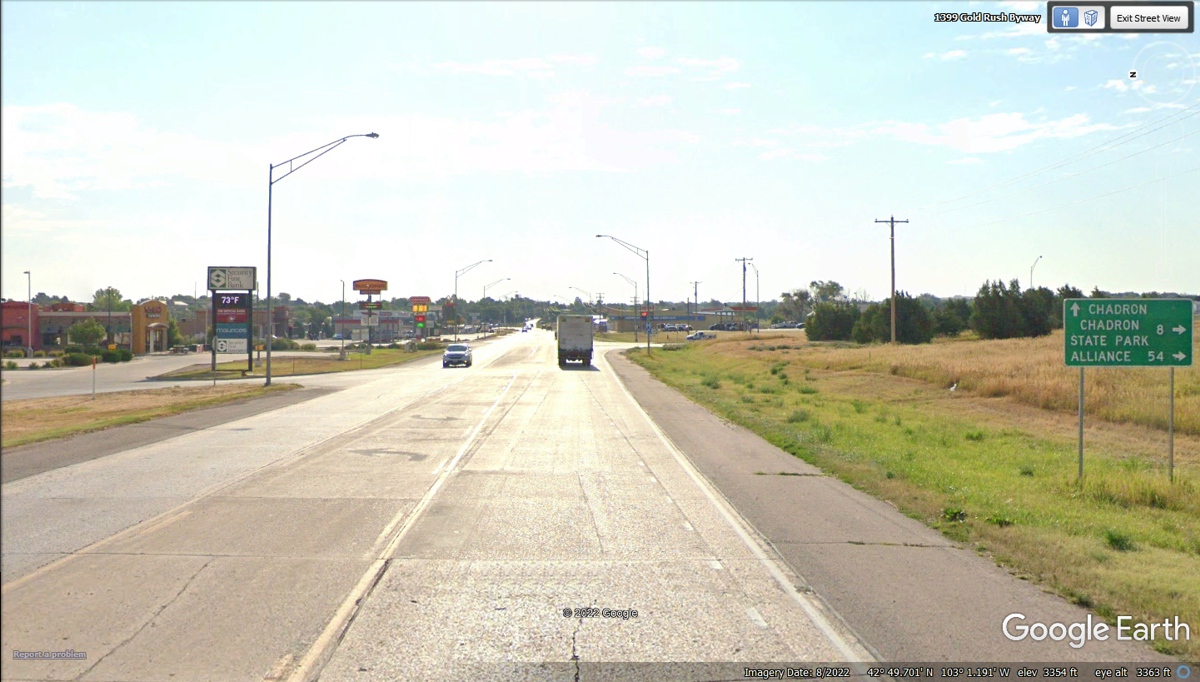
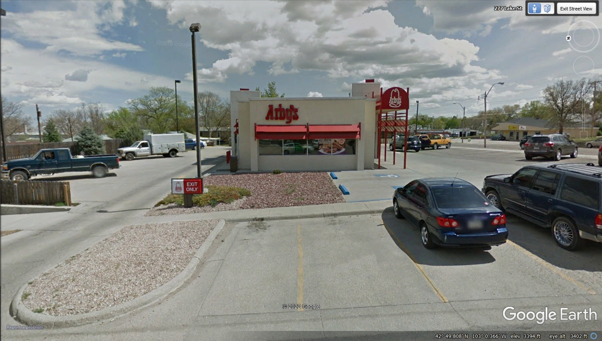
When you drive down US 20 going East and get to Pizza Hut
on the left side of the road, Arby's is in the next block past Pizza Hut, also
on the left side of US 20. Have your favorite sandwich and pick one of
their milk shake flavors. We parked in one of the two empty spaces in the
photo below to eat our meals. We found some grass and bushes for Linda's dog
Chase to relieve his bladder.
When finished at Arby's, we went west on US 20 going to the
local Wal-Mart to get some double-sided adhesive tape to secure one of the deer
warning whistles on the front of Linda's Chevy Equinox we are using on this big
western trip. We had been driving across I-10 in Texas, New Mexico, and
Arizona from May 25 to May 29 with dust storms putting a lot of dust on the
car. She wanted to wash the car in a self-service car wash location next
door to a Chevron station when we stopped for lunch that day we were heading up
I-17 north of Phoenix, AZ. See (Page 17 of this story of the Western
Tour.)
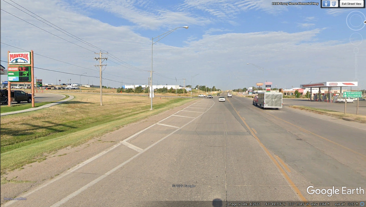
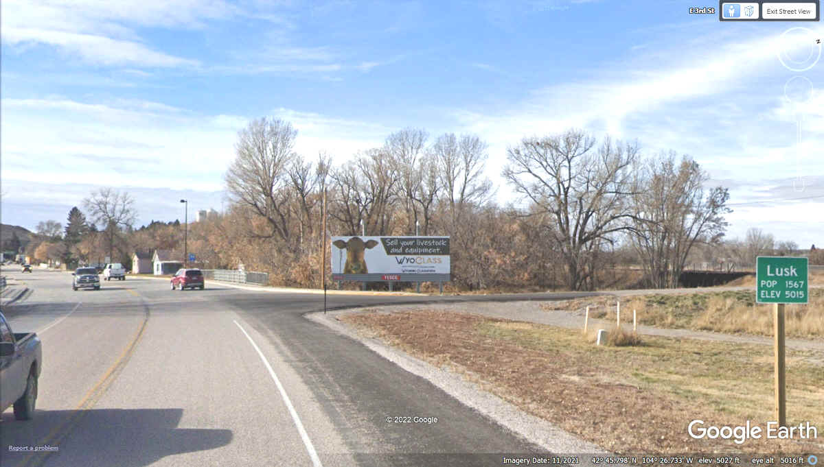
This is US 20 coming into Lusk, Wyoming where we will get
fuel and have a rest stop.
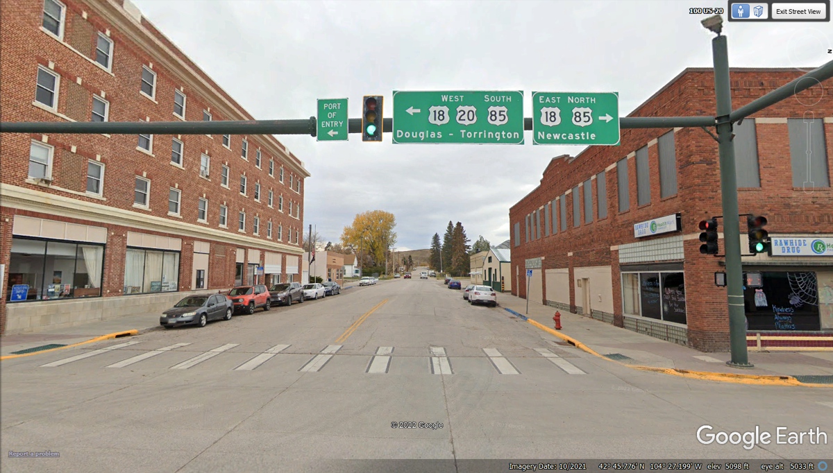
This is the center of the town of Lusk where major US
highways come together.
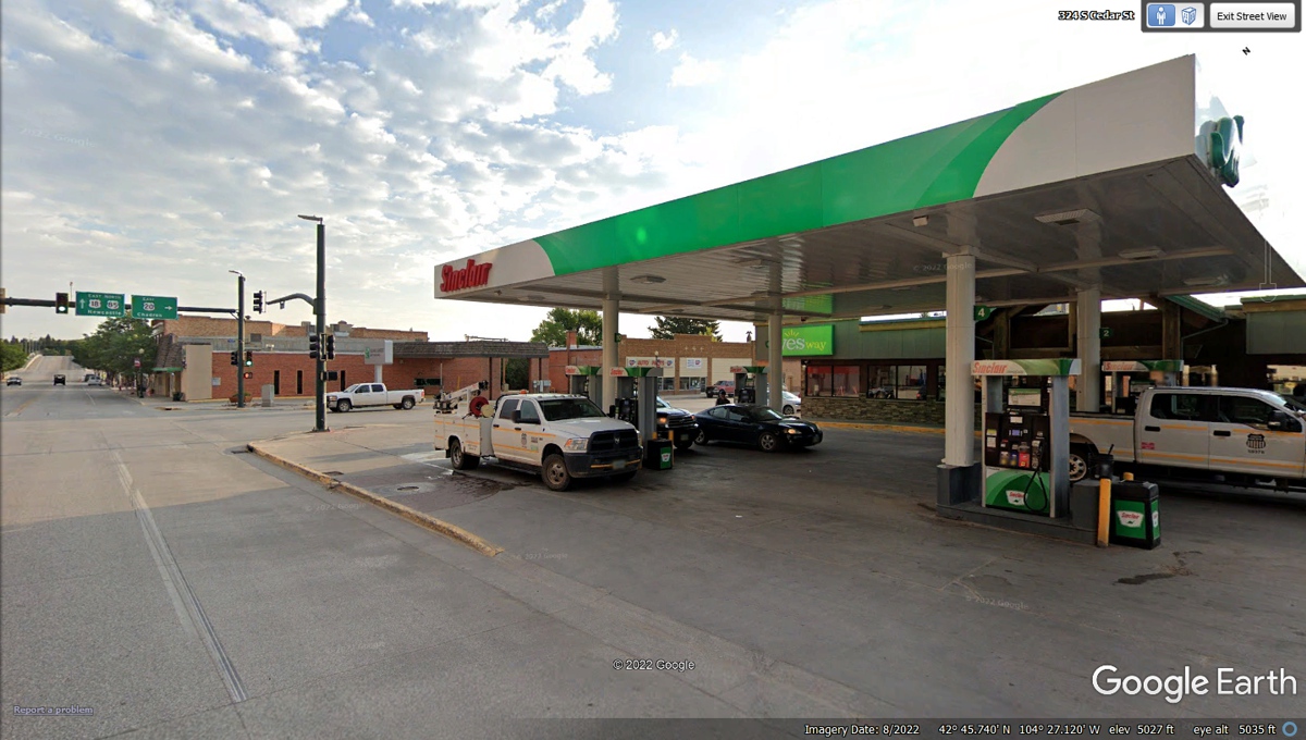
Here is our fuel stop in Lusk, Wyoming before continuing
our route south to Laramie, Wyoming and Aurora, Colorado for our motel tonight.
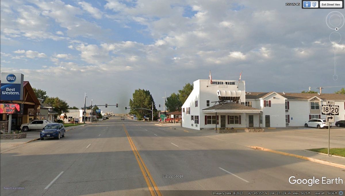
US 18 and US 20 are heading west from Lusk toward
Oregon. This would be a modern-day Oregon Trail that is not an interstate
highway where the Big Rig freight trucks roam. US 85 is also coming to
this intersection heading south from the center of town seen two images
above. We follow US 85 to the next town today. That Conestoga Wagon
on the building at the intersection is a tribute to the people who went to
Oregon in the 1800's.