June 2022 Vacation Day 17, Night
Drive to Sheridan, Wyoming · · PAGE 46.
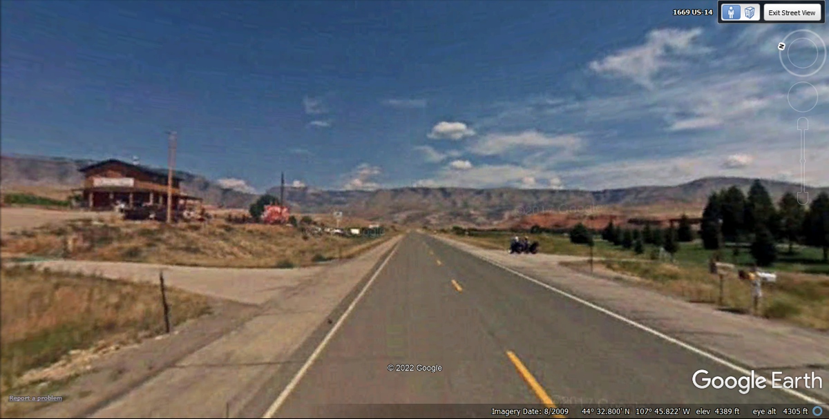
June 8, 2022: The nighttime drive
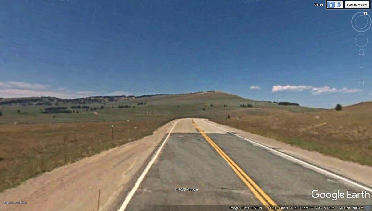
began as we came to Cody, Wyoming on US 14. We are heading for a mountain
crossing at night after passing Shell, Wyoming seen on the previous web
page. I believe it was about midnight as we passed through the village of
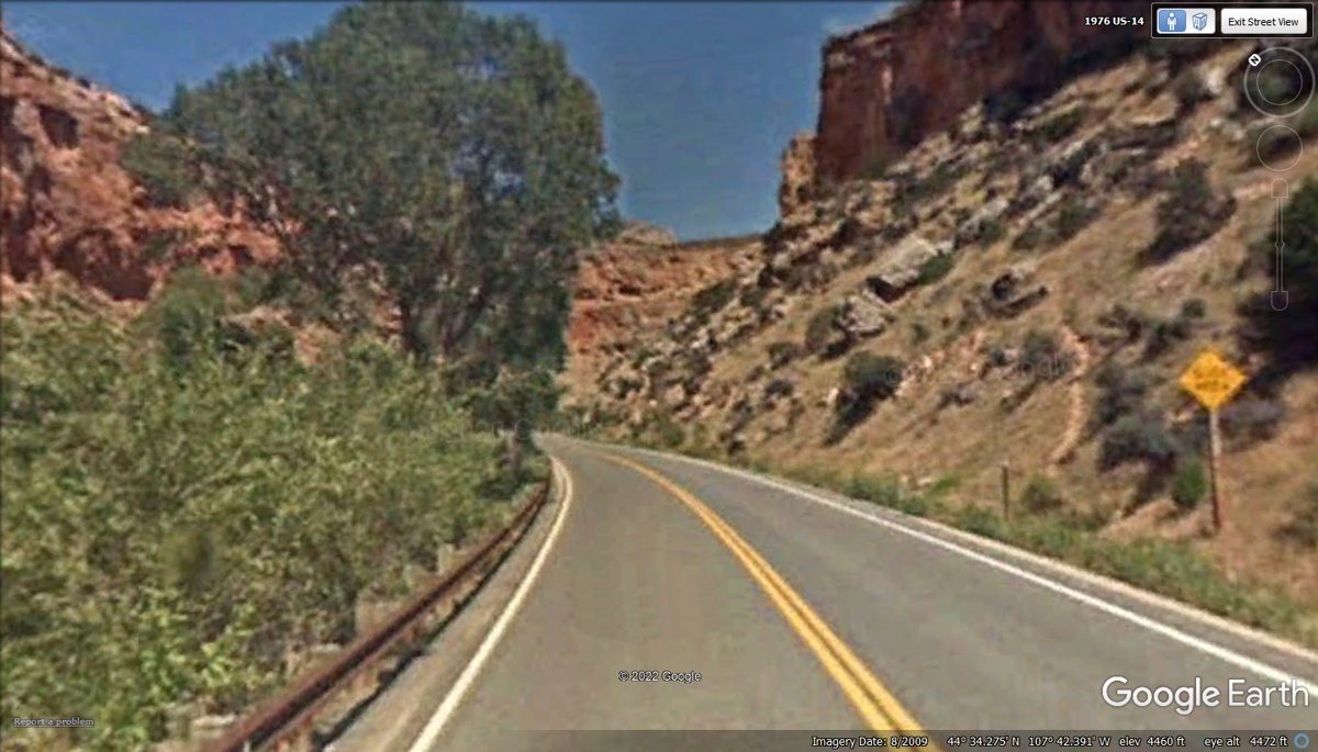
Shell. The elevation is shown as 4,389 feet in this Google Earth image in
the slow approach to the mountain ahead.
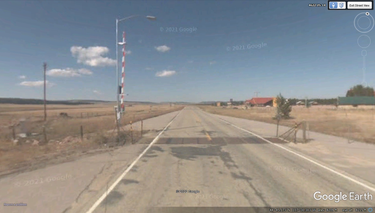
That RED and WHITE gate is there to close US 14 over the mountain when
winter weather of snow and ice create deadly conditions.
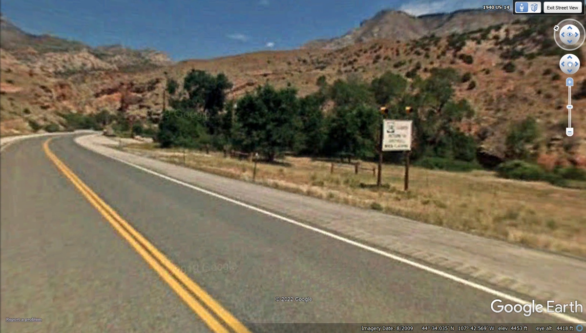
When we were driving over the mountain that night, there were some signs
that have lights that would be flashing when the road ahead was closed during
hazardous winter conditions. This sign is located in Shell Canyon on US 14 as it
begins climbing the mountain.
These warning signs for SLIDE ZONE and WATCH FOR FALLING ROCKS are common
on mountain roads. We don't have that problem in Florida as the highest
point in the state of Florida is only 245 feet above sea level.
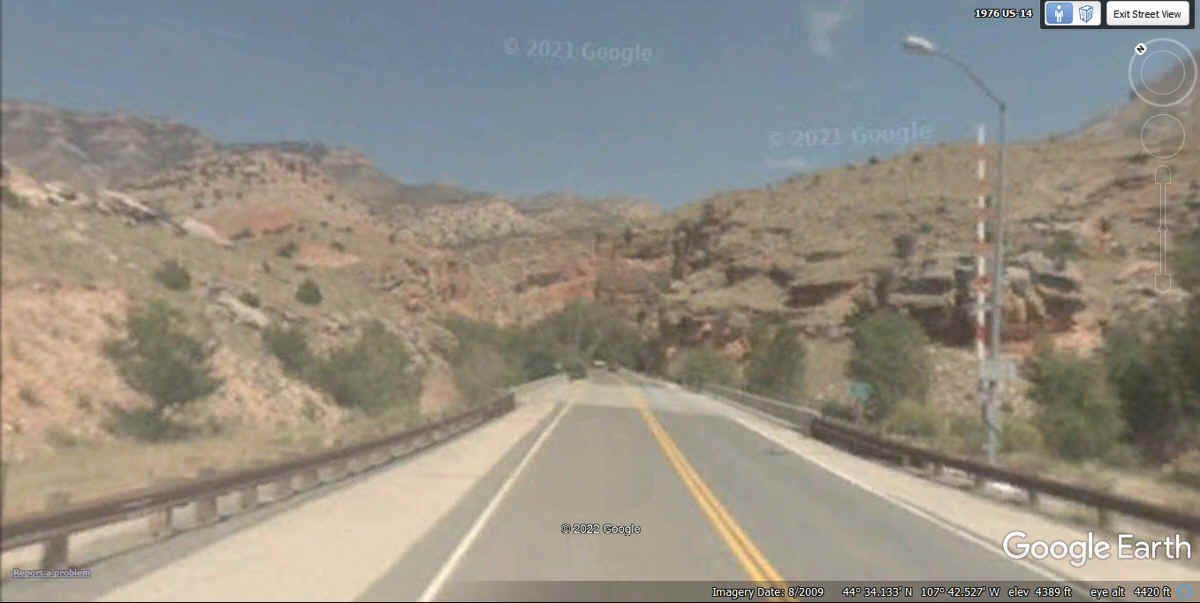
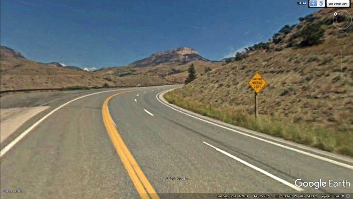
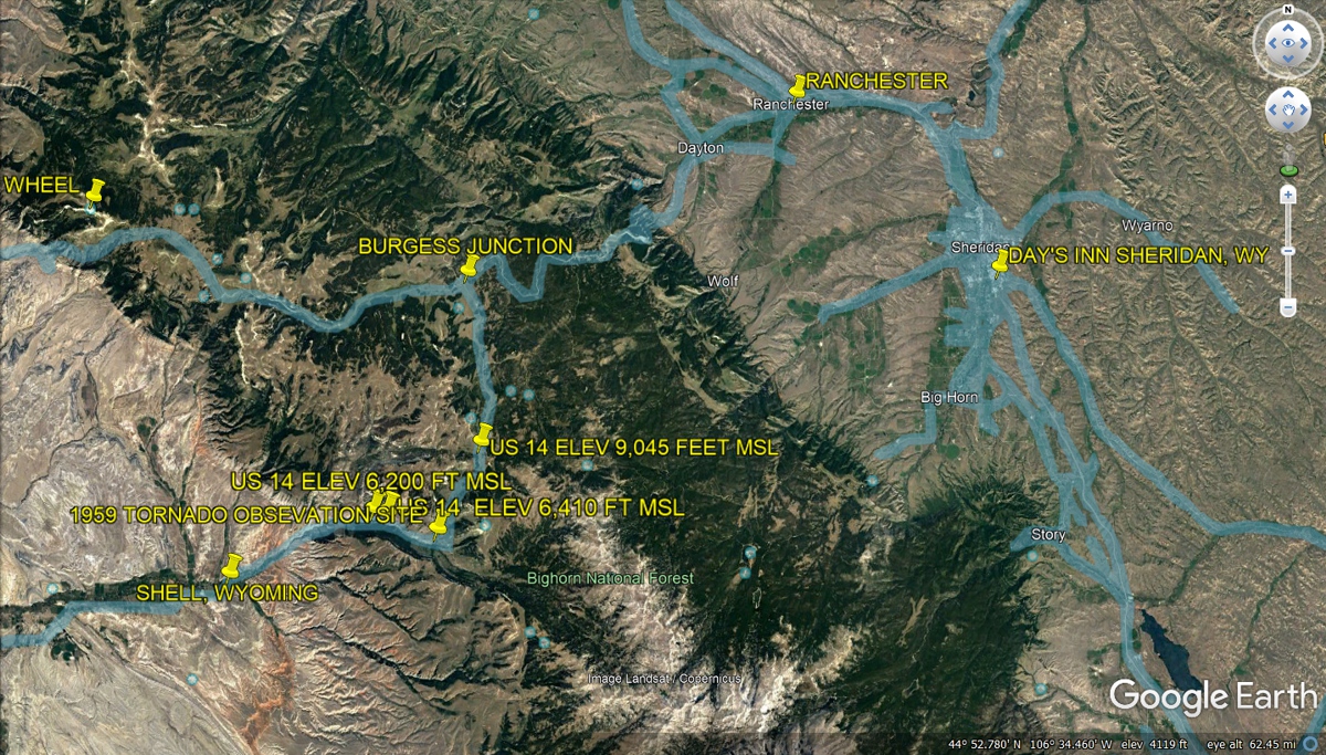
As US 14 climbs up higher, this passing lane is at 5,433 feet
above mean sea level.
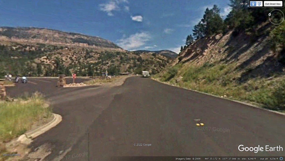
This US 14 roadside view point is at 6,248 feet above sea level at this
exit from the rest area. The other end of this location has rest rooms and the
entrance to the parking area that is a one-way street. It is named on
Google Earth as the
SHELL CREEK REST STOP.
There is an historical marker at the US 14 observation site for a tornado that
ripped through here in 1959. The details and the text on that marker are
below this image.
June
1959, a tornado roared over the south rim of the canyon directly before you. Its
path was along Granite Creek to your left and through what used to be Granite
Creek Campground. One person was killed. The twister ripped up timber and laid
it out in the pattern you see now.
While
tornadoes usually occur on the plains, several have visited the Big Horn
Mountains. Blowing down mountain timber at 10,000 feet above sea level, these
tornadoes are among the highest on record. The Forest Service salvaged part of
the downed timber, but the steepness made it difficult to retrieve trees from
the upper slopes. A road at the bottom of the blow-down area enabled some
clearing and reseeding. Most of the scar has re-vegetated naturally.
Near Shell in Big Horn County, Wyoming — The American West
(Mountains)
Erected
by Bighorn
National Forest.
Topics. This
historical marker is listed in these topic lists: Environment • Horticulture
& Forestry.
A significant historical month for this entry is June 1959.
Location. 44° 34.346′ N,
107° 33.048′ W. Marker is near Shell, Wyoming, in Big Horn
County. Marker is on U.S. 14, one mile west of Forest The
marker is located approximately 13 miles east of Shell, Wyoming on the scenic
byway. Marker is in this post office area: Shell WY 82441, United States
of America. Touch
for directions.
More
about this marker. The
illustrative drawing on the marker was done by Connie J. Robinson in 1989.
 |
 |
This image below is an overlay of Google Earth driven routes in Wyoming,
some of which I used during the night drive from Cody, Wyoming on US 14
going through the mountains to the Day's Inn on the south side of Sheridan,
Wyoming. Burgess Junction is where US 14A coming from Cody and US 14 comes
via Shell, Wyoming going East toward Sheridan as US 14. The highest elevation we
traversed was 9,045 feet above sea level.
The picture above is being chipped away with the passing hours in the car
heading East and North in the image below. The next intersection is
Burgess Junction where we will again head East toward Sheridan, Wyoming.
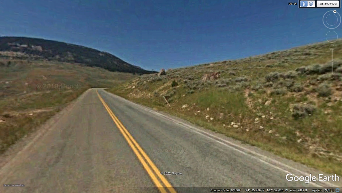
This bad weather road sign with flashing lights when the
road is closed ahead was where we came upon TWO DEER in our headlights beyond
the gate up the hill. The elevation here is 8,384 feet above sea
level. The deer were not fearful of our arrival as we were moving slowly
when they came into view. There was no moon on this night of June 8, 2022.
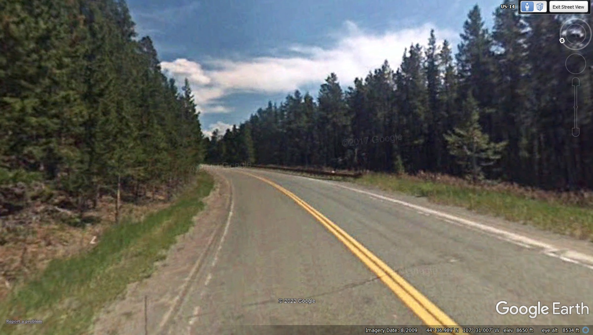
This part of the road north of the bad weather gate is the
likely place where we saw the TWO Deer walk out of the trees on the left to
cross the road and go into the trees over there. It was very dark with
only our headlights to show them in front of us. The elevation at this
location is 8,650 feet.
This location below is named as Granite Pass where the dark pavement of Big Horn
County meets the light colored pavement of Sheridan County. Our next
intersection is about 9.7 miles ahead where we continue East on US 14. The
elevation here is 9,054 feet.
Here is another bad winter weather traffic control gate. That
building ahead is a motel named the Elk View Inn.
We continued East on US 14 to Sheridan, Wyoming. This
old Google Earth image from 2009 has poor focus.
Starting down and running at 7,000 feet here, I can only see what is
in the headlight beams. This image is from 2015 with better focus and
resolution.

The terrain and the curves allow me to see some lights in the valley ahead
and to the right. My guess is this is about 2 AM and it is still a DARK
NIGHT. The lines on the pavement and the road signs assure me we are doing
OK.
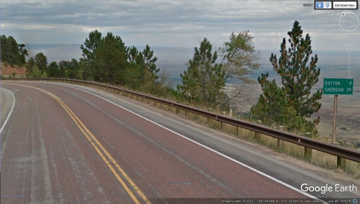
This mileage sign is the hint that our mountain ride for this
day and night is
ending very soon.
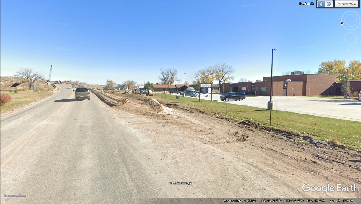
One problem with driving late at night in unfamiliar places
is not recognizing some important details of the road ahead. The small
town of Dayton before getting on Interstate 90 has some ongoing road construction around
it as seen in this image below from October 2021. We passed this way in
the dark at about 2 AM on June 9, 2022. Take notice of the amount of dirt
piled on the pavement and the shoulder of this part of US 14. There were
some road-closed barricades with the battery-powered flashing lights on
them. I was driving slowly to be sure I was really on the roadway.
Those piles of dirt were a little closer toward the end of the guard rail
compared to what is seen in this image below and not as tall. I managed to
get to the mounds of dirt which were not shaped as they appear here. Linda
and I agreed I needed to back up and get a better look in the headlight beams
that confirmed we needed to be more to the left on the correct side of the guard
rail. There is one street light seen here for the parking lot on the right side of this Google Earth image. The bridge ahead
crosses a pair of railroad tracks before US 14 gets to the junction with
Interstate-90.
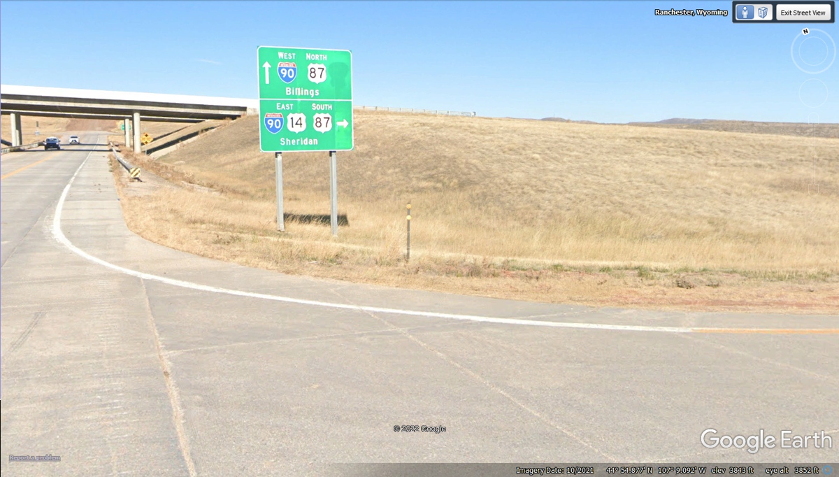
We are getting on Interstate 90 Eastbound at exit 9 in
Wyoming to travel to exit 25 at Sheridan where our motel is waiting for us. It is the middle of
the night. It feels good to be on the big four-lane highway after the
two-lane mountain roads of US 14 seen in the images above on this web page.
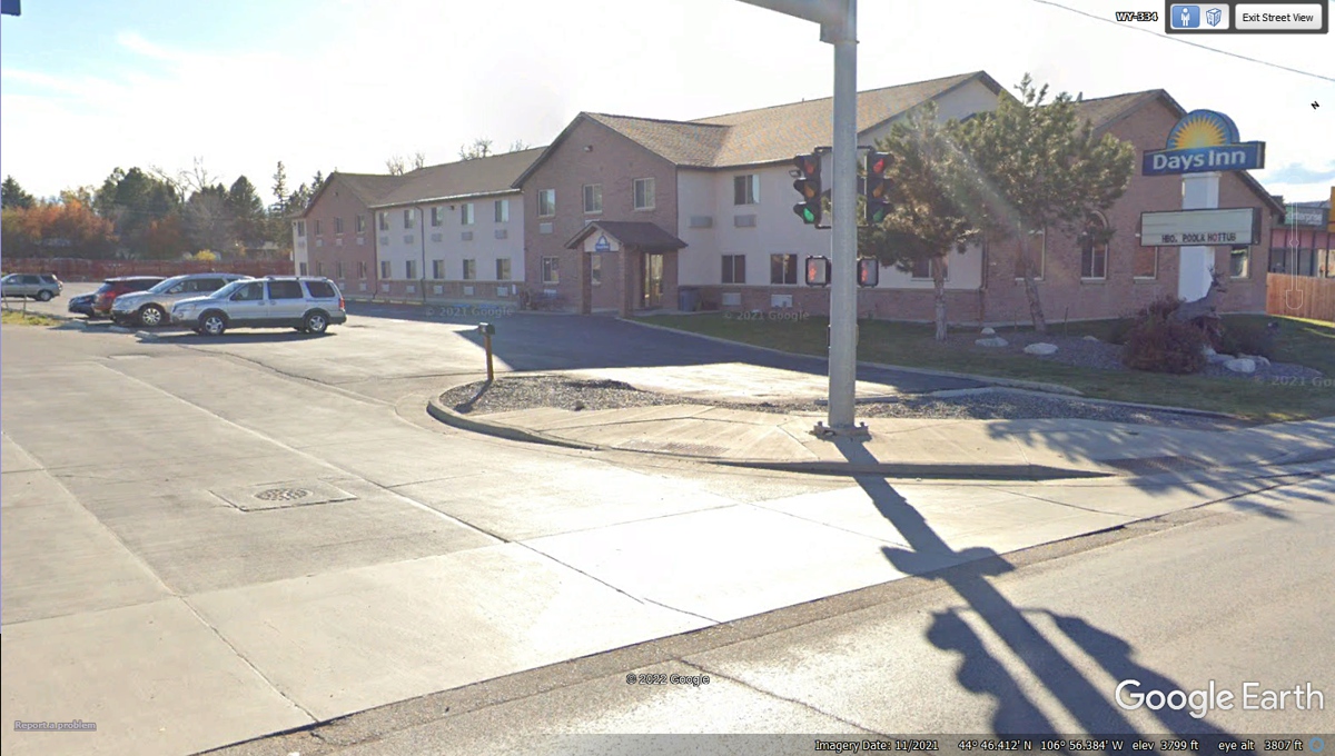
This is where we get off the freeway and drive down the street to our motel for tonight.
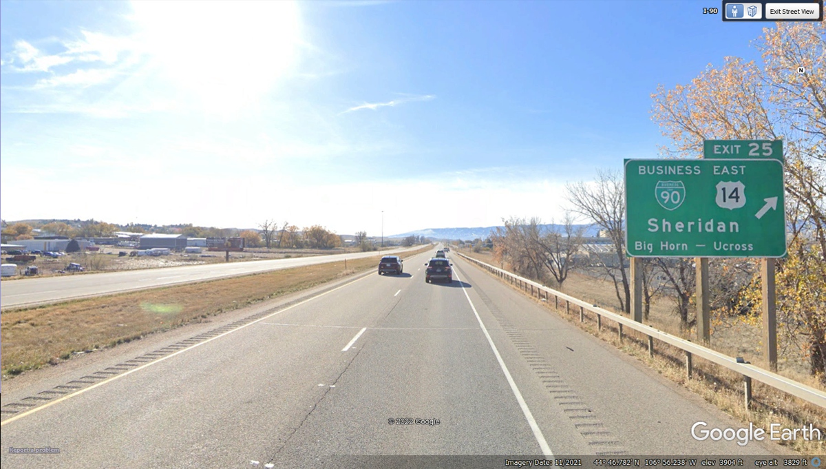
It was 3 AM when we got checked into our room.