June 2022 Vacation Day 18, Sheridan, Wyoming,
Devil's Tower · · PAGE 47.
June 9, 2022: The day starts for
me with the free breakfast at the motel around 9 AM. We checked in at 3 AM
after yesterday's national park visits. Even at home, I usually get 6 to 7
hours of sleep. The receipt from Day's Inn indicated a check out time at
9:42 AM. Since we were on the road at 12 midnight, I started this day on
the previous page.
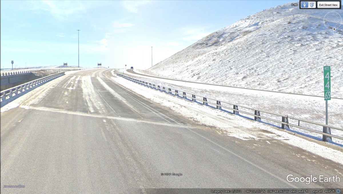
This bridge at mile marker 44 on Interstate 90 in Wyoming has winter
warning lights about possible icing on the bridge. This Google Earth image
is from January 2022 at an elevation of 4,689 feet MSL.
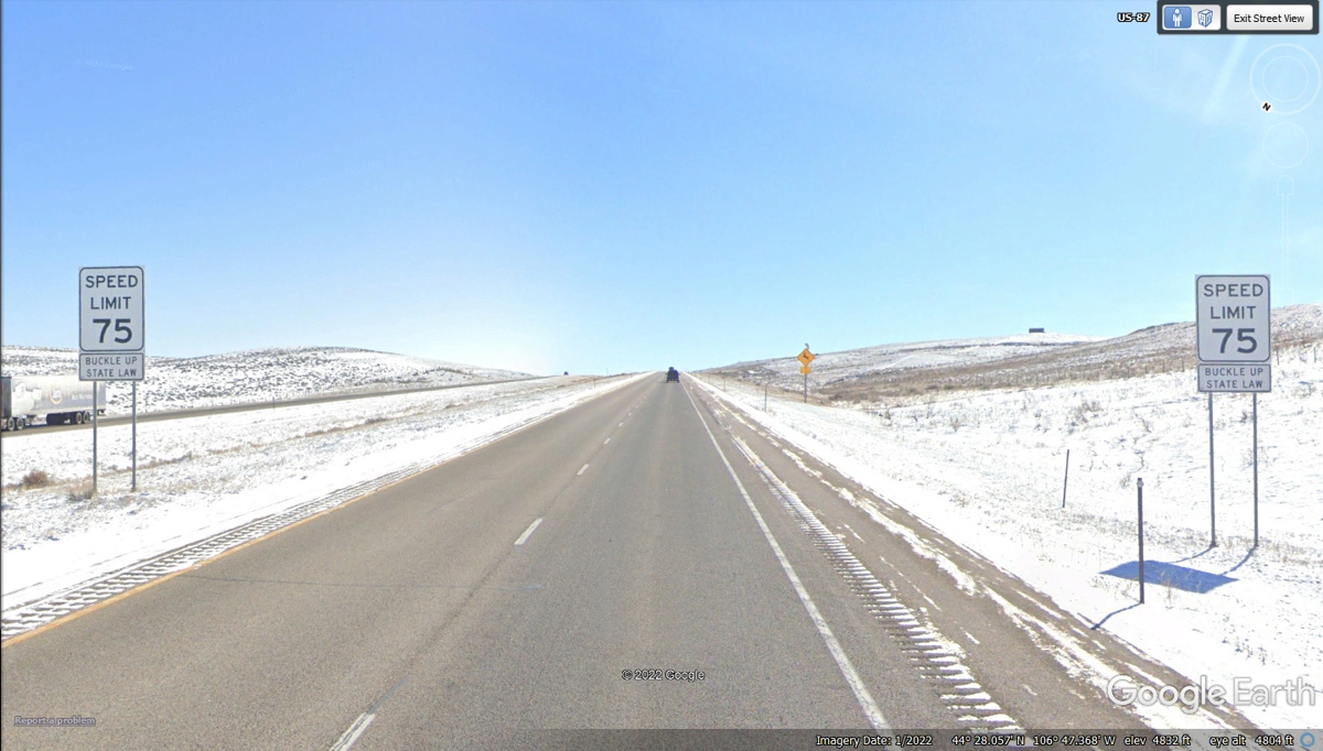
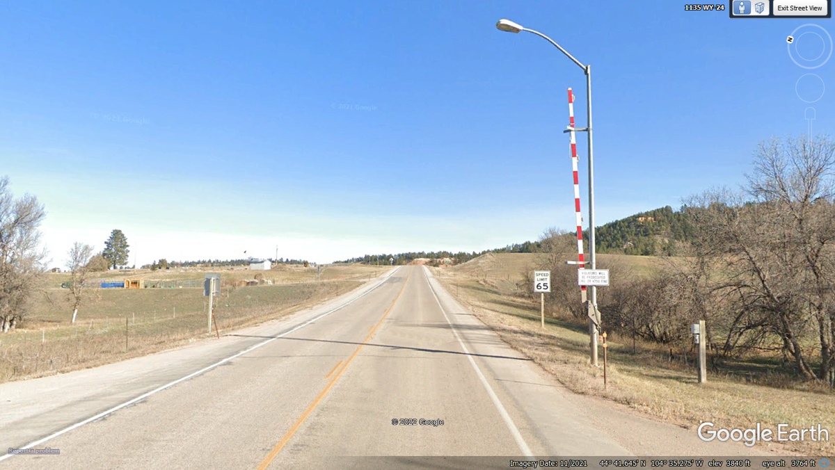
This is wide open country out here with realistic speed
limits for a road that free of snow and ice. We came by here in June with
perfect weather, this Google Earth image does not apply.
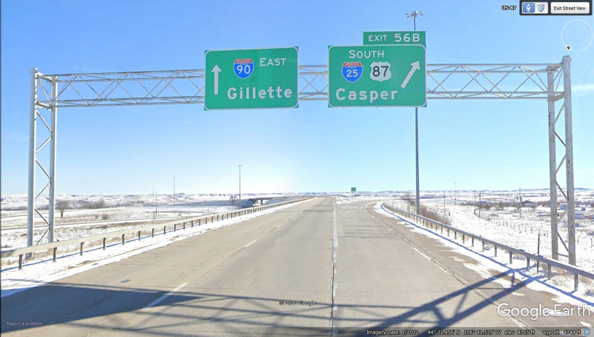
This intersection is the North End of Interstate 25 that
connects to Casper, Wyoming, Cheyenne, Denver and points south. Interstate
90 has been coming south from Sheridan and now continues going East. I-90
East ends at Boston Logan Airport in Massachusetts. We will say goodbye to
I-90 at Rapid City, South Dakota.
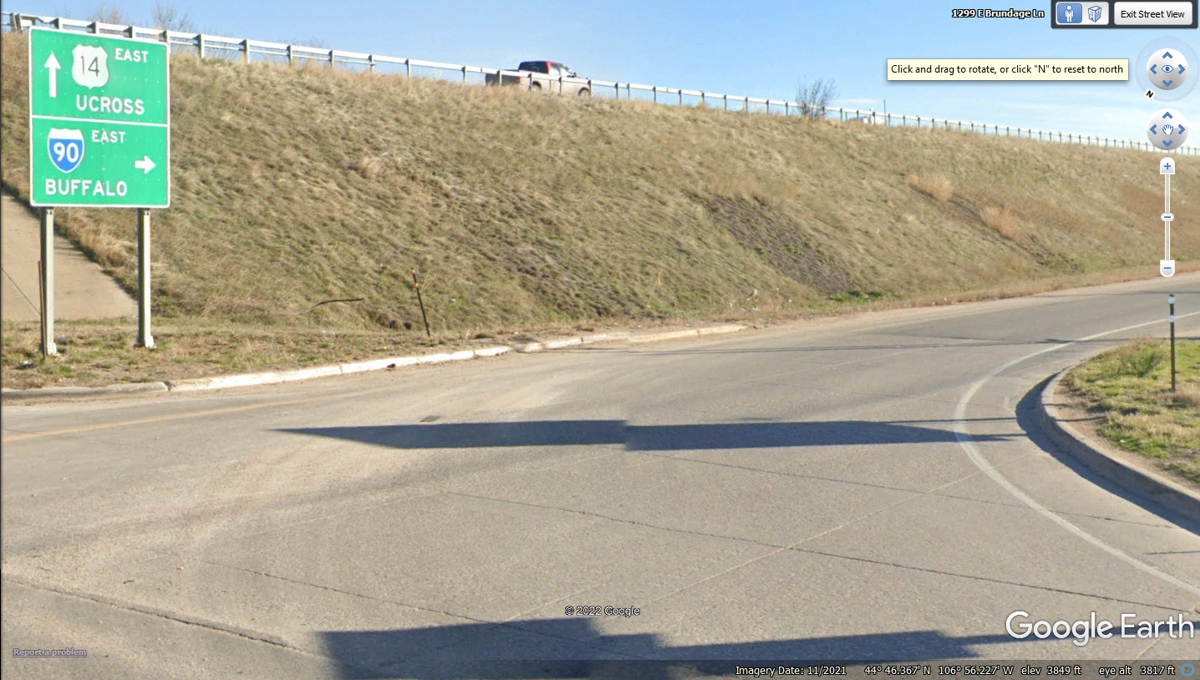
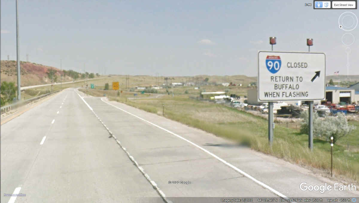
Here is another one of those winter weather road signs that
are activated when a highway is closed for snow and ice conditions. The
town of Buffalo is near the junction of I-90 and I-25.
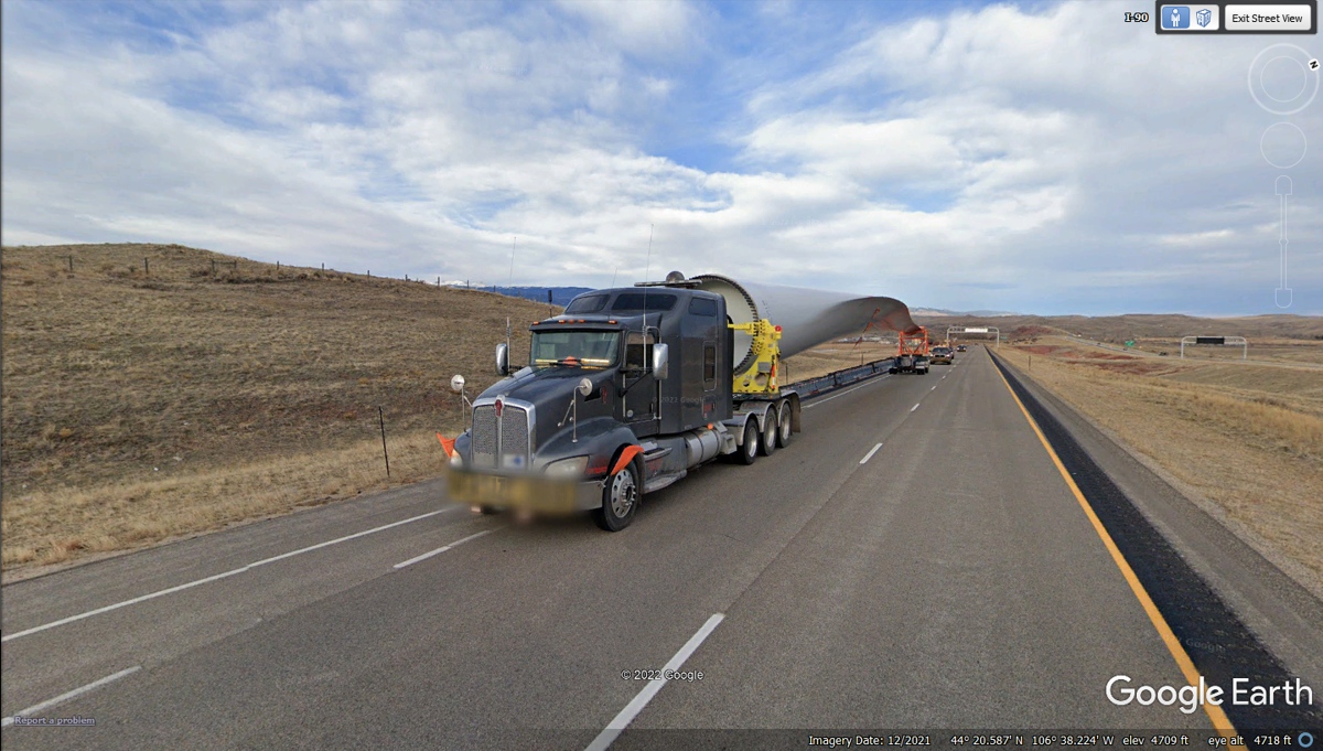
Here is the second large wind machine blade we have seen
courtesy of Google Earth. The first one was East of El Paso after our
visit to Carlsbad Caverns, New Mexico.
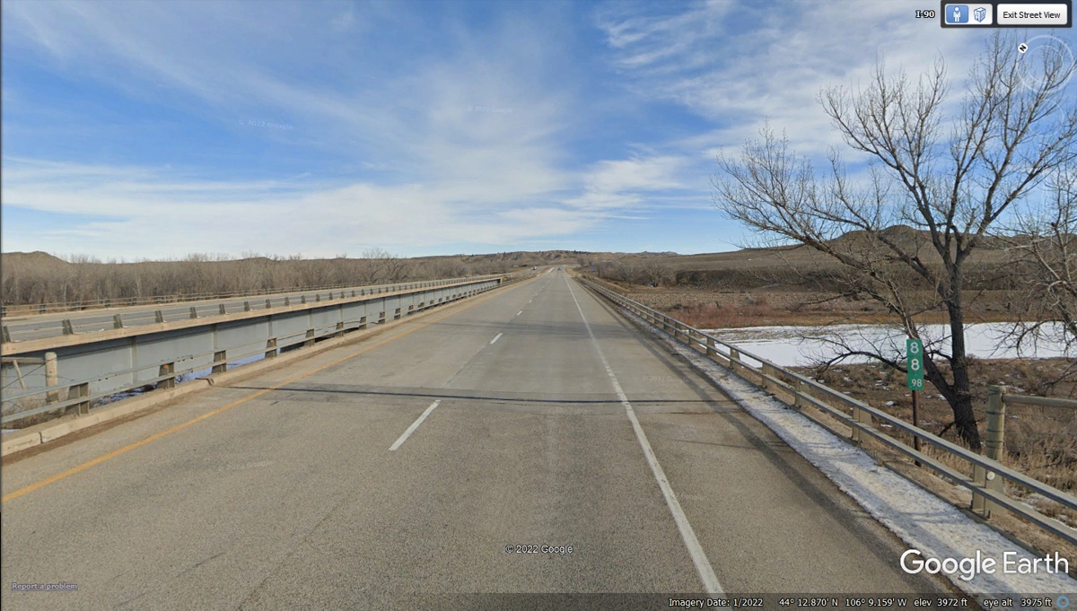
I-90 crosses the Powder River at mile marker 88 from the
Montana / Wyoming state line.
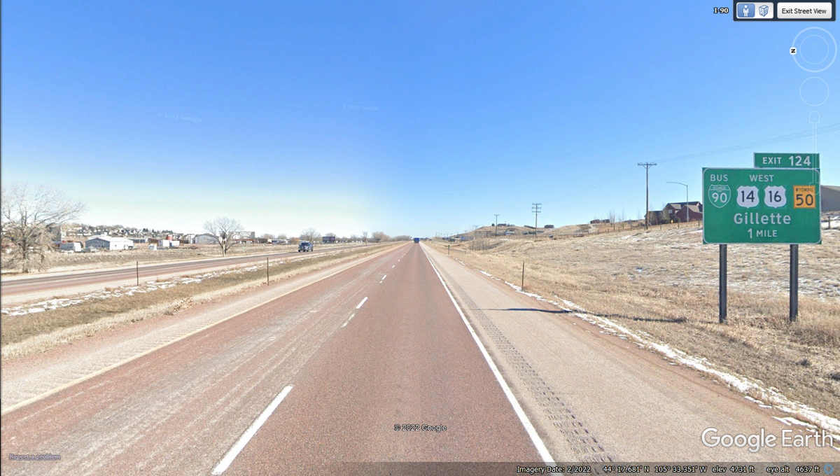
We got on I-90 at Exit 25 leaving Sheridan, Wyoming heading
East. The mile marker here at Gillette is 124 putting 99 miles behind us
this morning.
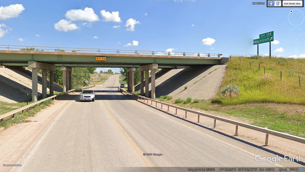
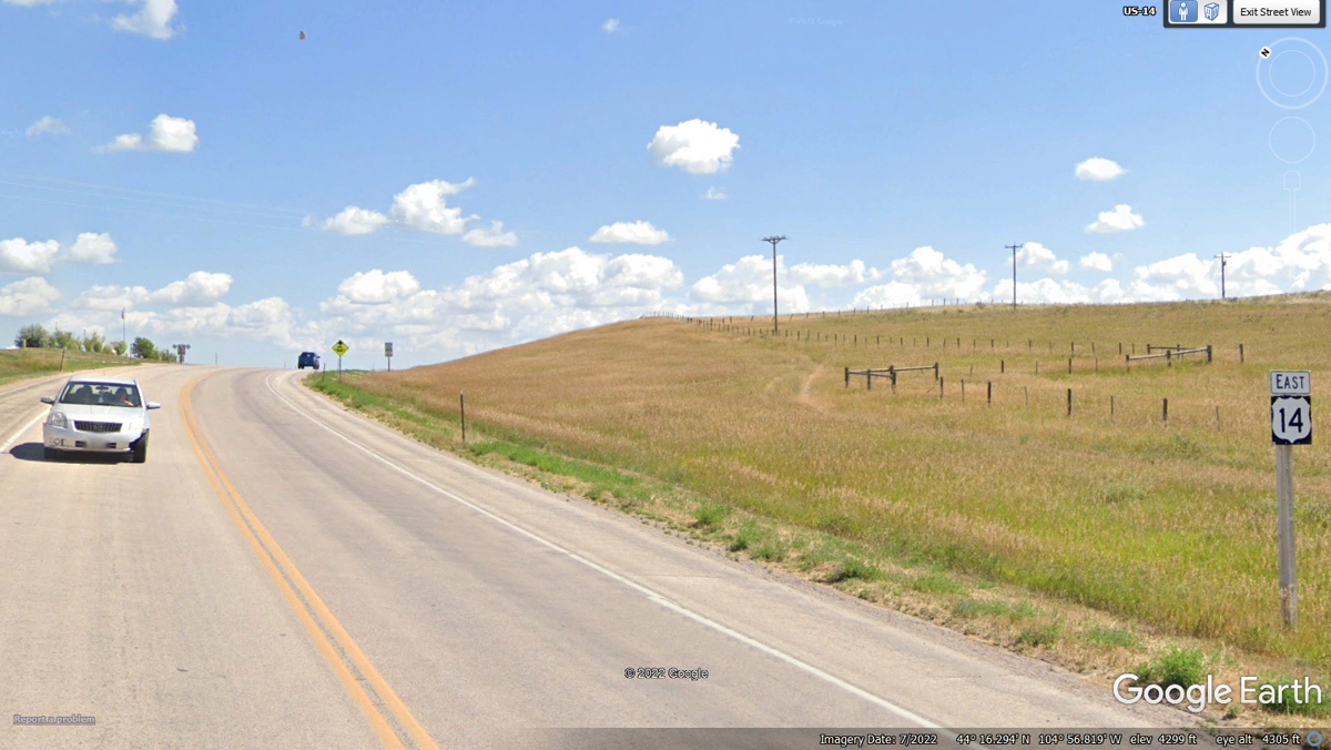
This route from I-90 Exit 153 will go toward Devil's tower
via US 14.
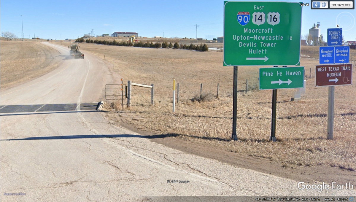
Moorcroft, Wyoming is a small town on US 14 adjacent to
I-90. From here, the route goes north toward Devil's Tower national
monument. US 14 has been on an Easterly course, but turns north until it
meets state route 24 that passes by Devil's Tower.
The sign up on I:90 shows there is an exit East of here
that also goes to Moorcroft. There is no connection to US 14 from I-90 at
this location.
There were two road closed signs and a barrier leaving
Moorcroft before reaching this US 14 route marker. There is a lot of open
country ahead.
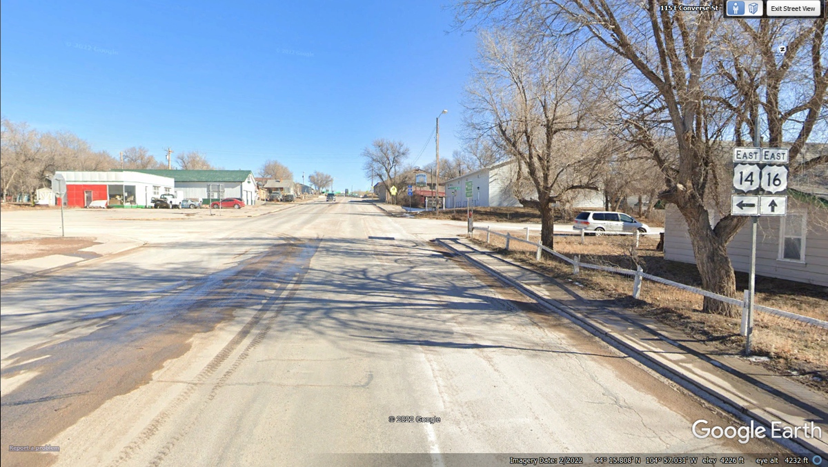
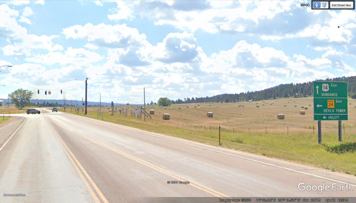
Wyoming state route 24 goes north from the junction ahead,
while US 14 continues East. We are turning LEFT at those traffic lights.
This information sign is by the side of the highway 24
approaching Devil's Tower from the south.
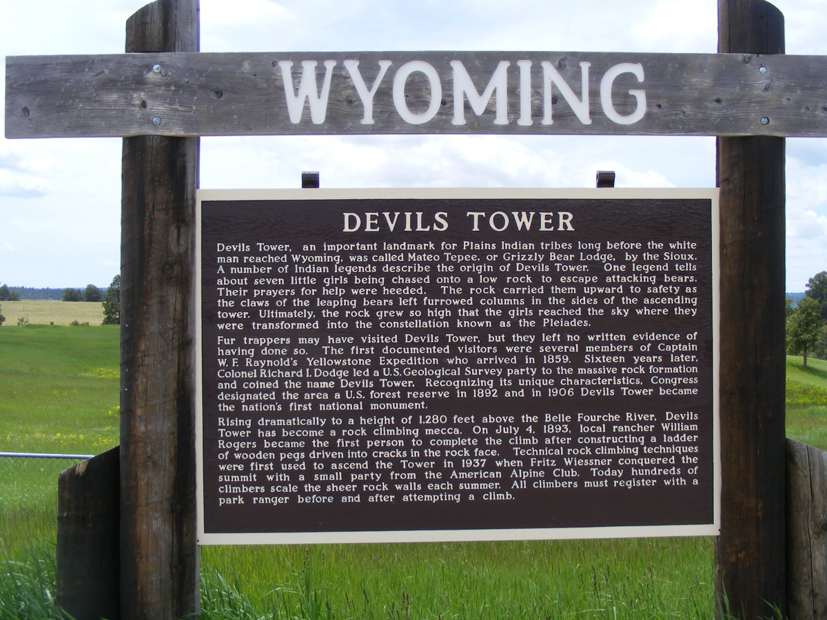
This telephoto image was taken while parked at the sign
seen in the image above.
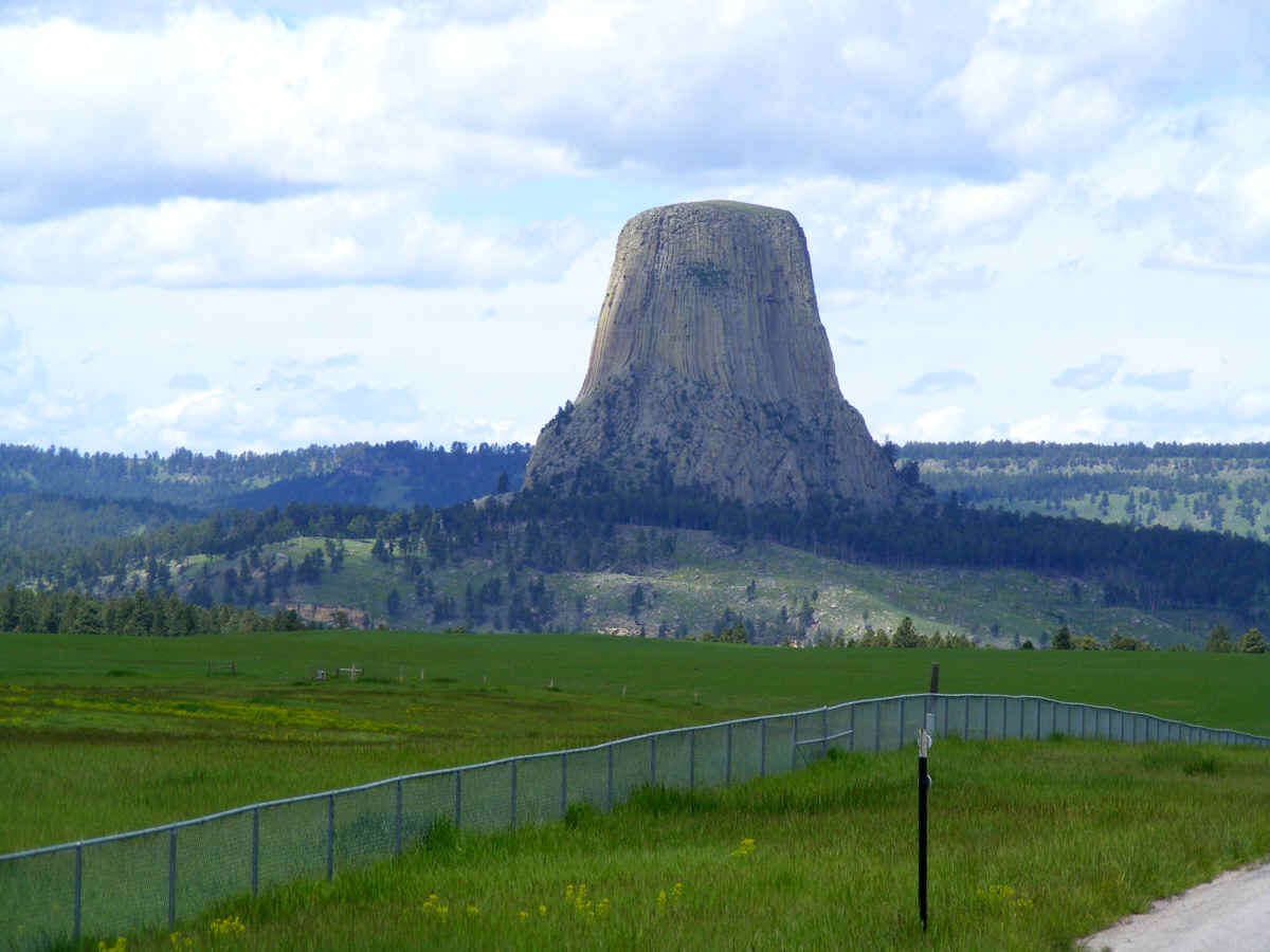
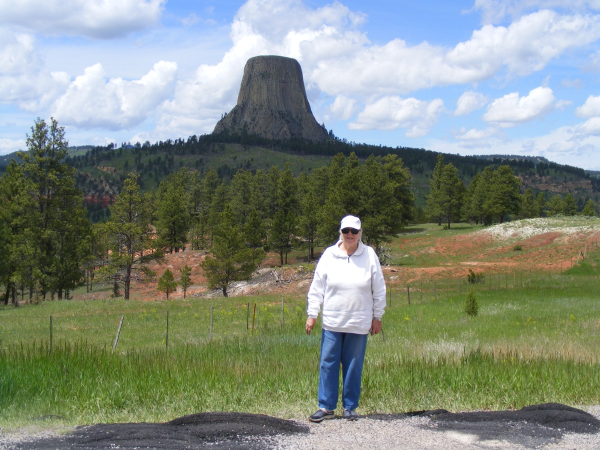
This photo confirms Linda went to Devil's Tower National
Monument with me taking photos to prove it.
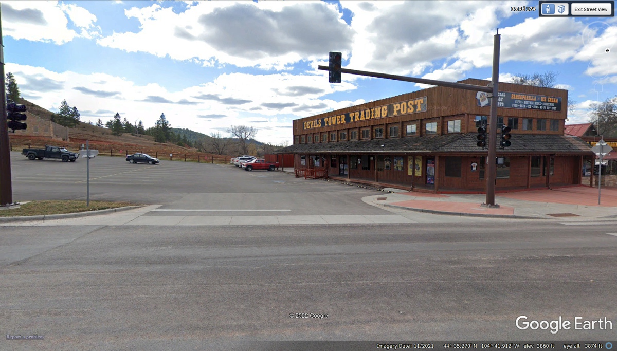
This tourist souvenir shop was crowded when we stopped here
on June 8, 2022.
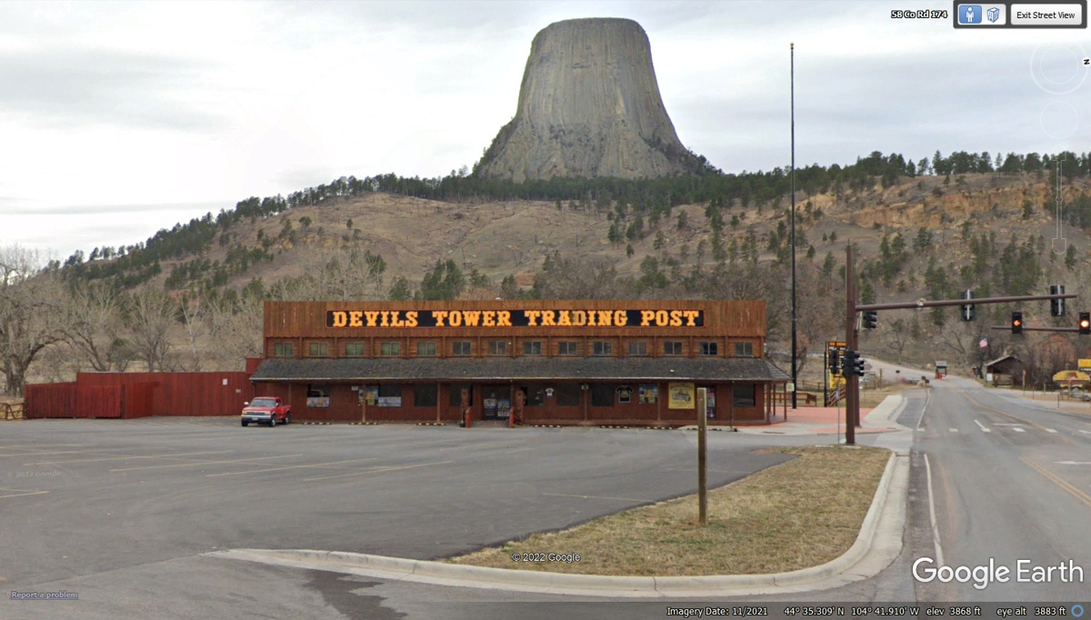
This Google Earth image from November 2021 was the
"off season" confirmed by the empty parking lot. Both of these
Google Earth images are from November 2021.
During our visit on June 9, 2022 we did not stop in the
right lane where the pickup truck is parked. Pay as you exit was in effect
with a US National Park ranger collecting payments and verifying annual National
Park Passes which I have used on this trip.

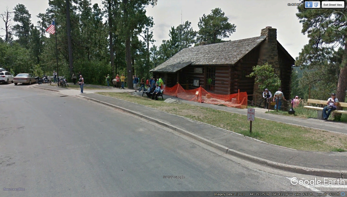
The welcome center seen here is on the "back
side" of the monument.
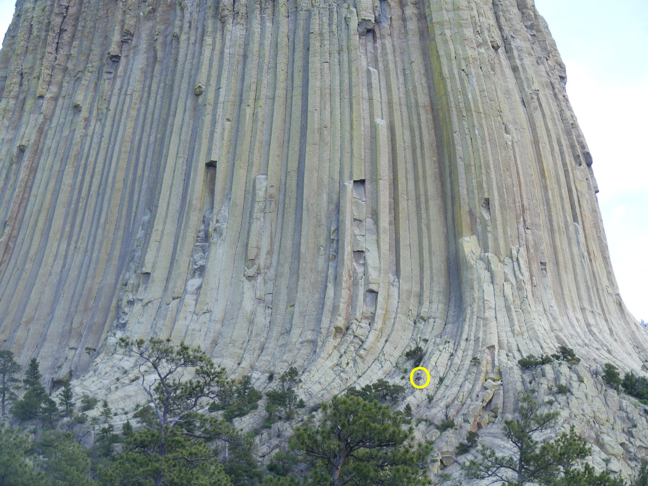
Here is the back side of the monument in a photo I took
standing near the welcome center. When I was standing there to get my
photo, another visitor mentioned a climber was up there. I did not see the
climber until I got home and processed this photo below. I put a yellow
circle around that person.
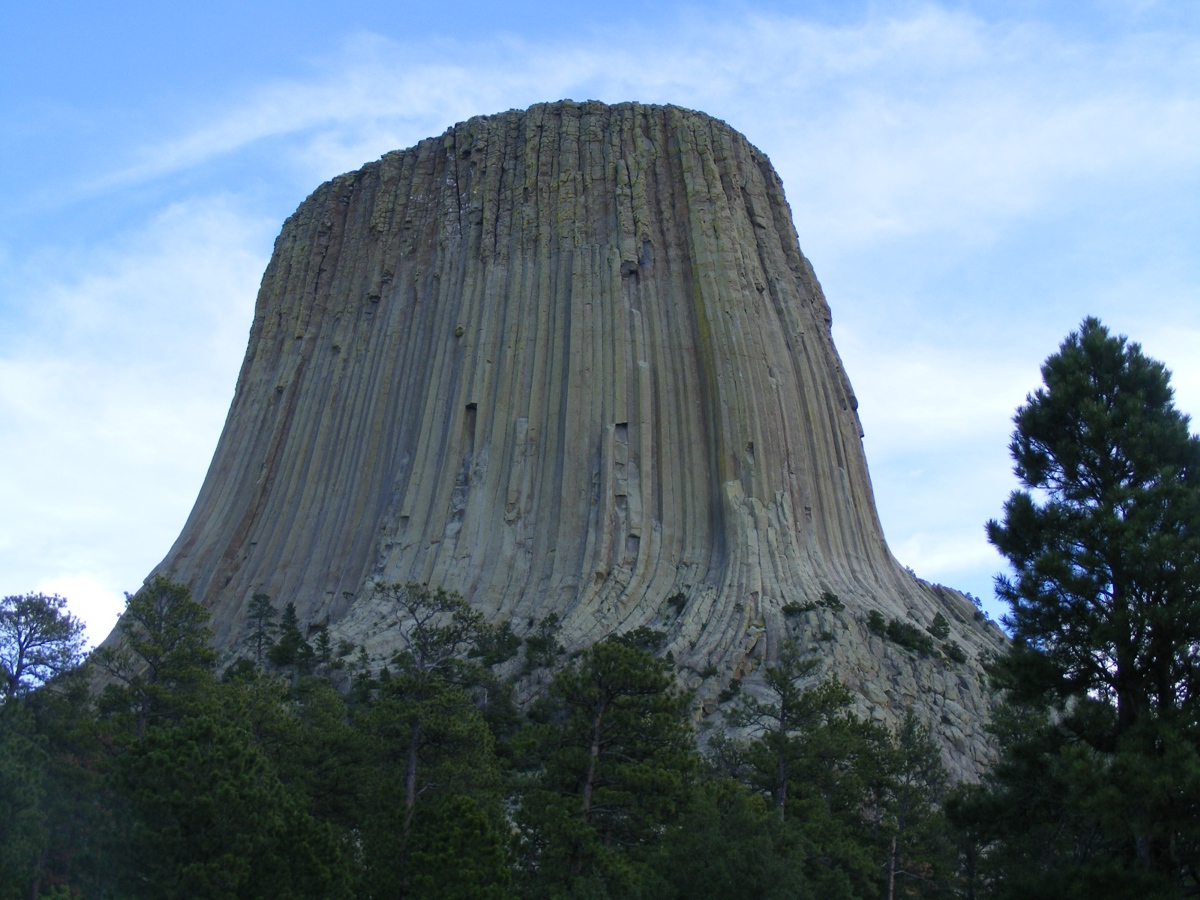
This is a wide angle view from the Welcome Center parking
lot.
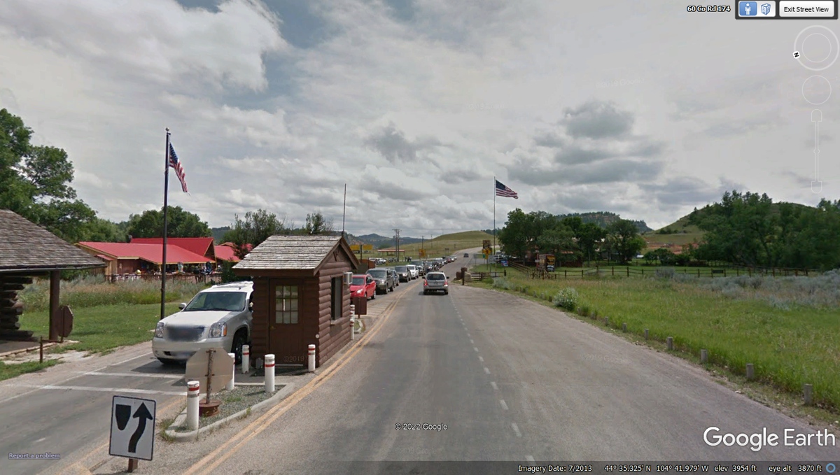
This Google Earth departure image from Devil's Tower is
from July 2013 during the peak visitor season. When we departed on June 9,
2022 the park ranger was manning the outbound window and thanked me for my
service when she noticed my free annual pass said MILITARY on it.
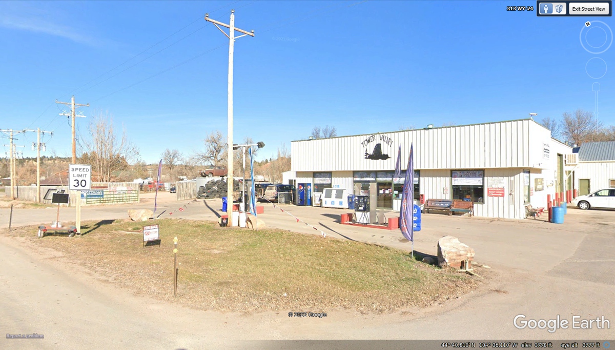
We went north from Devil's Tower about 11 miles on Wyoming
route 24 to Tower Valley gas station in Hulett, Wyoming. The gas receipt
shows 3 PM when we departed, When I came here in 1998, there was some road
construction on the way out of town on route 24. When I stopped at the
flagman to ask about the wait time, he mentioned 30 minutes about the same time
I heard a dynamite blast and saw rocks and dirt falling back to the
ground. At that point, my wife and I decided we would backtrack to US 14
to continue our ride toward Rapid City. Today, we get to see the remainder
of Wyoming 24 and South Dakota 34 over to Whitewood, SD before getting on I-90
to Rapid City.
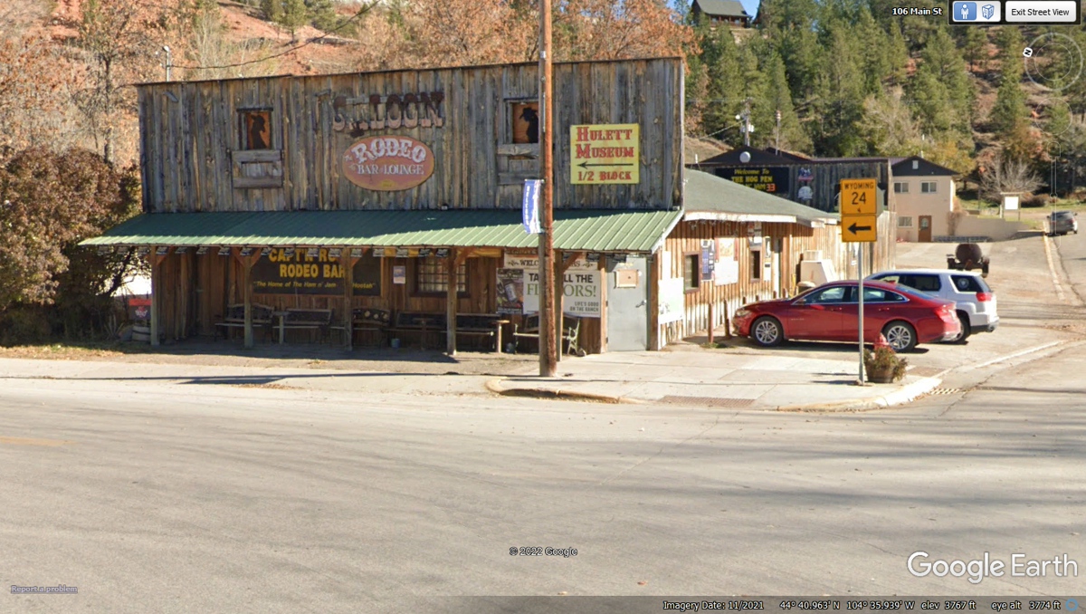
Wyoming 24 goes just north of the gas station to Main
Street that runs East/West in the town of Hulett. The bank on the left is Summit Bank I looked
up online to get the name as it is not on the front, where it just says
"BANK". The CAFE on the other side of the street also has no
name on the building.

Down at the East end of Main Street is where route 24 heads
out of town.
June 9, 2022: Here is the north
gate for winter road closures leaving Hulett, Wyoming.
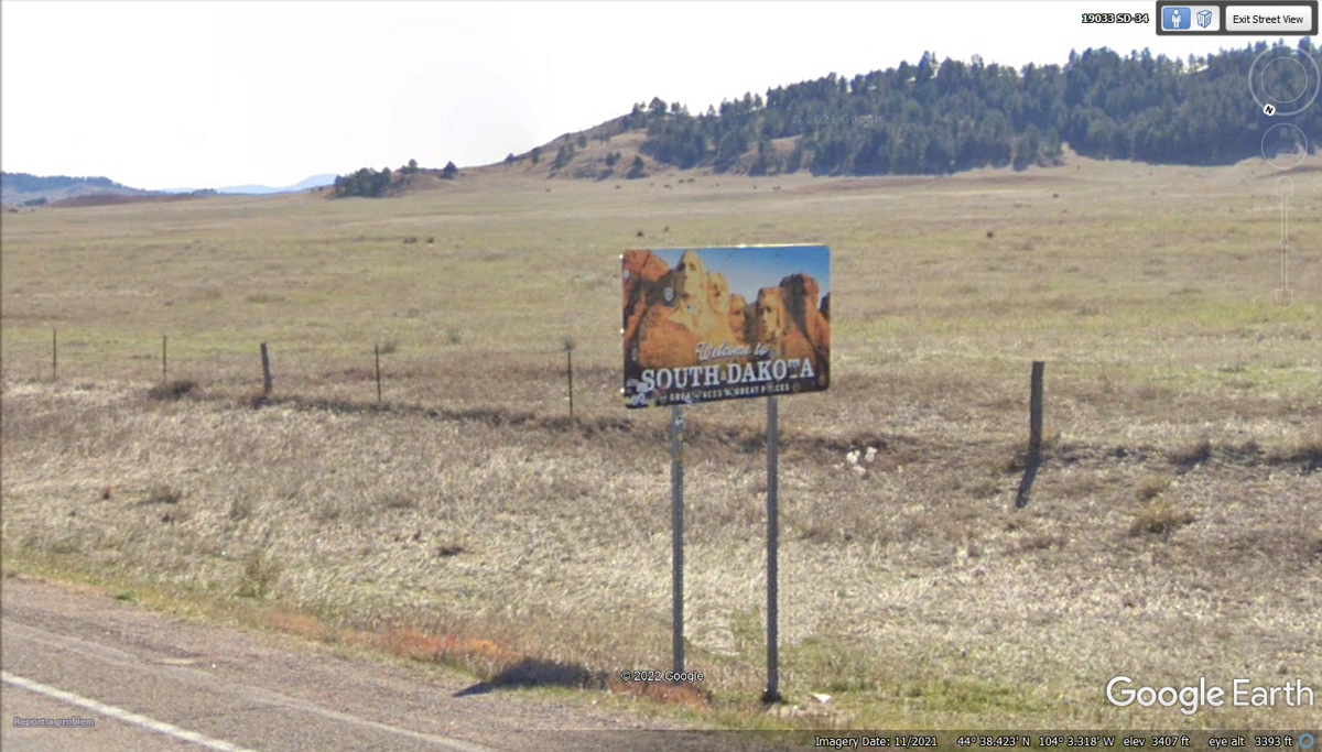
This is the South Dakota sign at the state line with
Wyoming. The next route change is less than 10 miles East of the state
line when SD 34 get to US 85.
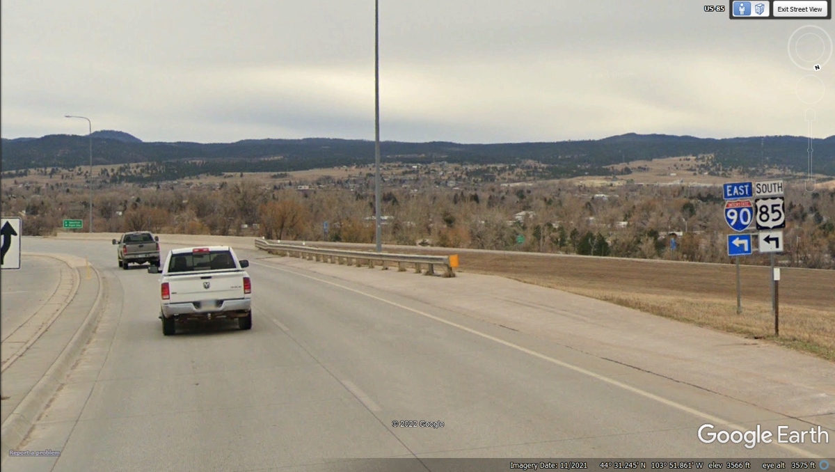
It is less than 9 miles down to Interstate 90 from this
location just south of the junction of South Dakota route 34 and US 85.

We got on I-90 again for the ride down to our motel for
tonight.
Our motel for tonight is on the frontage road accessed from
this exit from I-90.
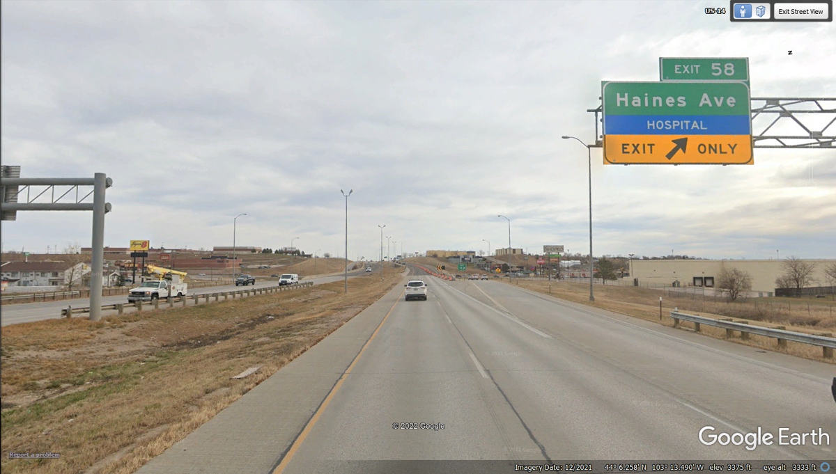
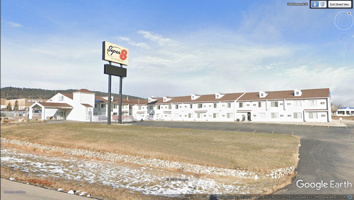
Here is our motel for tonight.
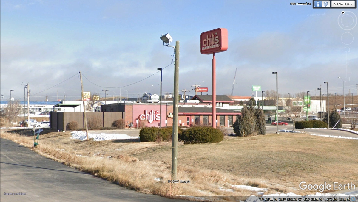
Dinner for us was just next door for take out. This
was the day we learned that Chili's had discontinued their 2 meals for $25 dinner for
two people. I ordered the same items we have been buying that now cost
$48.67. After our LONG day into night yesterday, June 9, 2020 was a short
day with 273.4 miles traveled from Sheridan Wyoming to Rapid City, South Dakota.