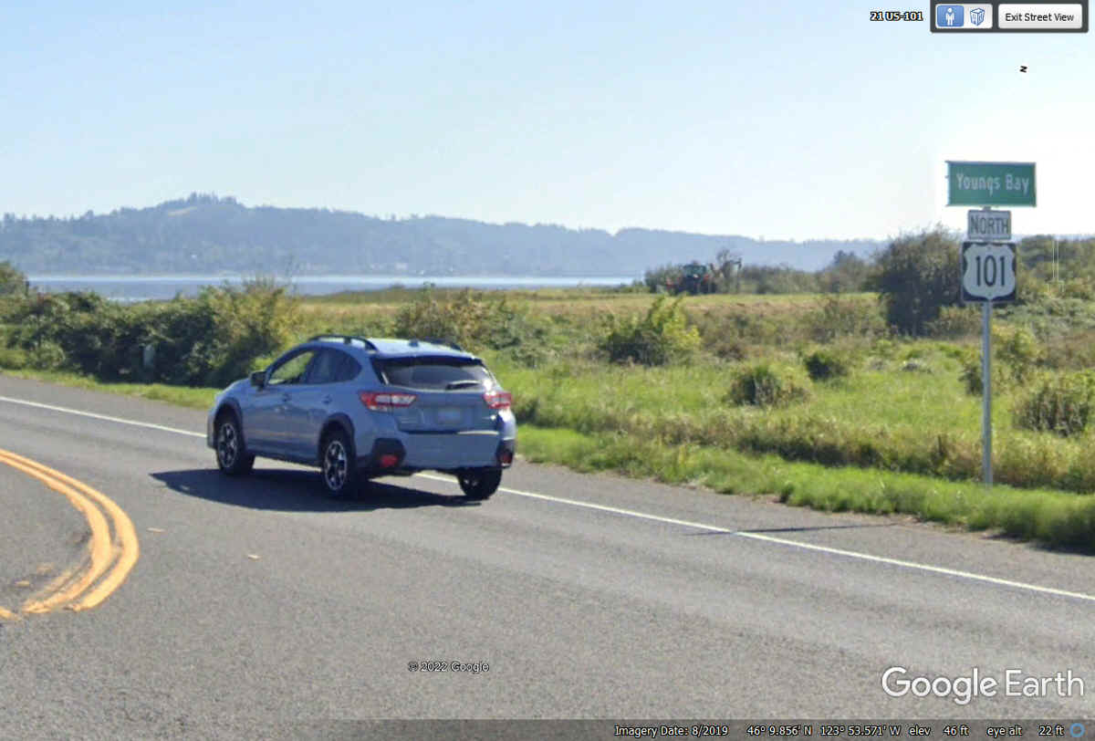
June 5, 2022: We continue our brief ride on US 101 across Youngs Bay toward Astoria, Oregon.
June 2022 Vacation Day 14, Oregon
Attractions · · PAGE 36.
June 5, 2022: We continue our brief ride
on US 101 across Youngs Bay toward Astoria, Oregon.
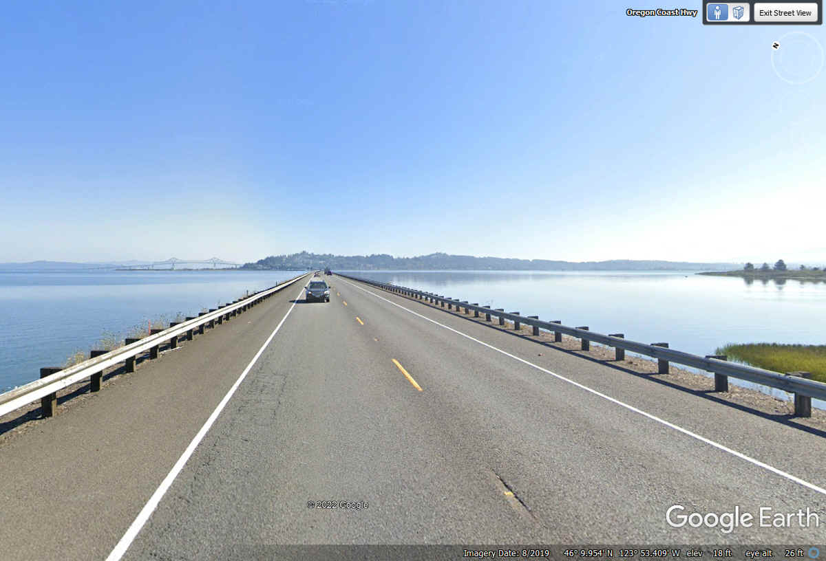
This causeway is used for the shallow area approaching the Youngs River
Bridge heading East toward Astoria, Oregon..
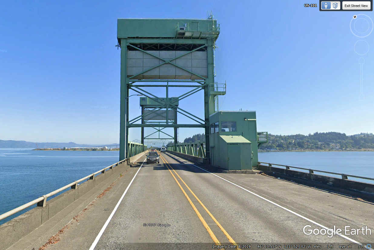
This lift bridge allows boats to enter the bay south of US 101.
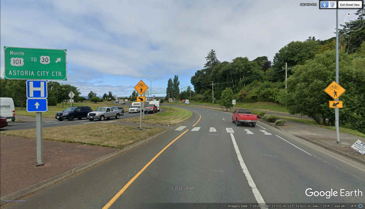
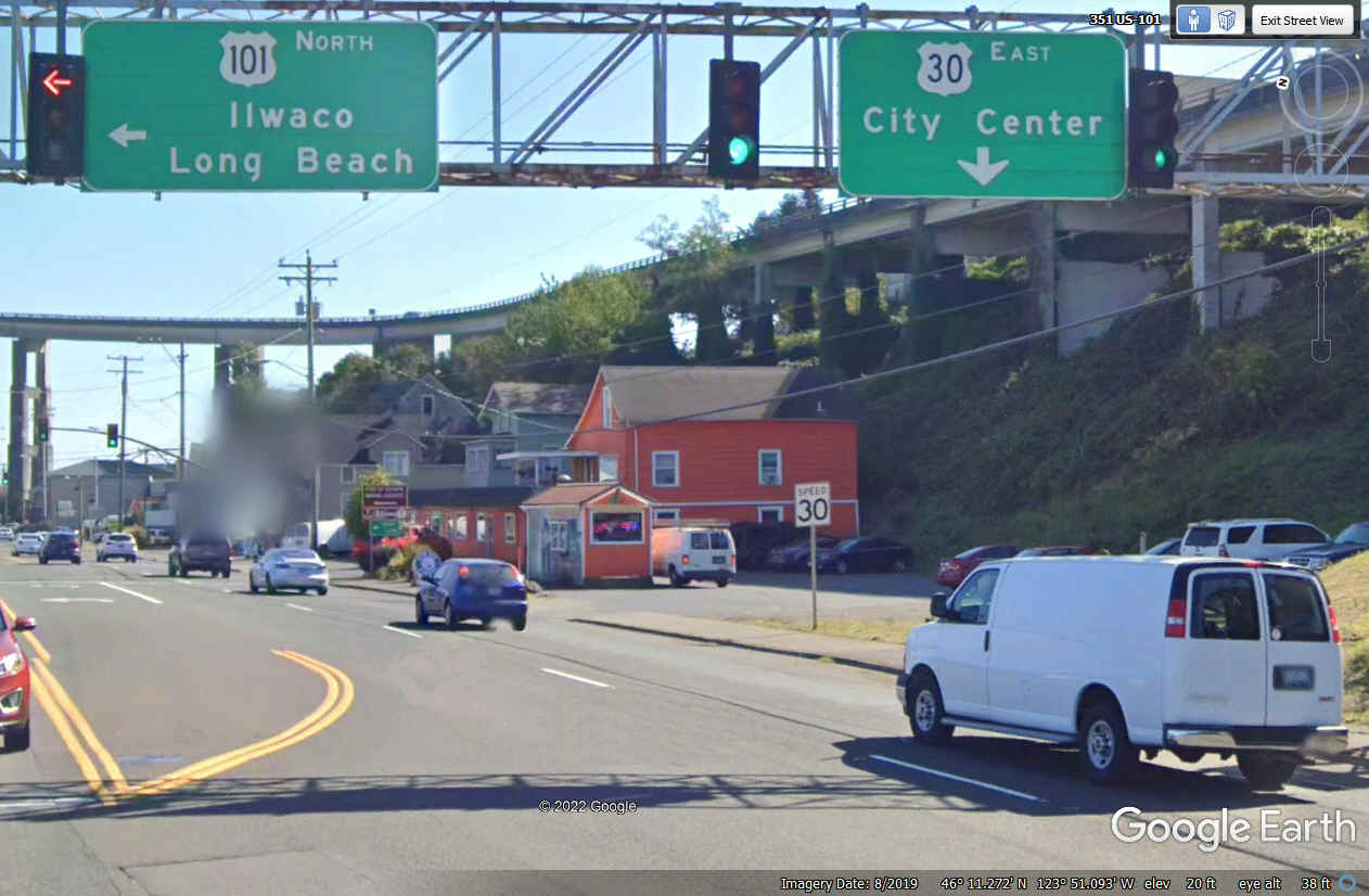
After crossing Youngs Bay, US 101 goes through a traffic circle with these
signs on the west side of the circle.
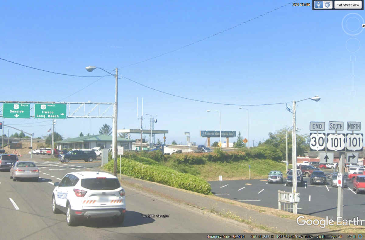
US 101 goes north on Astoria Bridge into the state of Washington. US
30 Eastbound begins here on a journey that will end in New York City with lots
of well-known cities along the way.
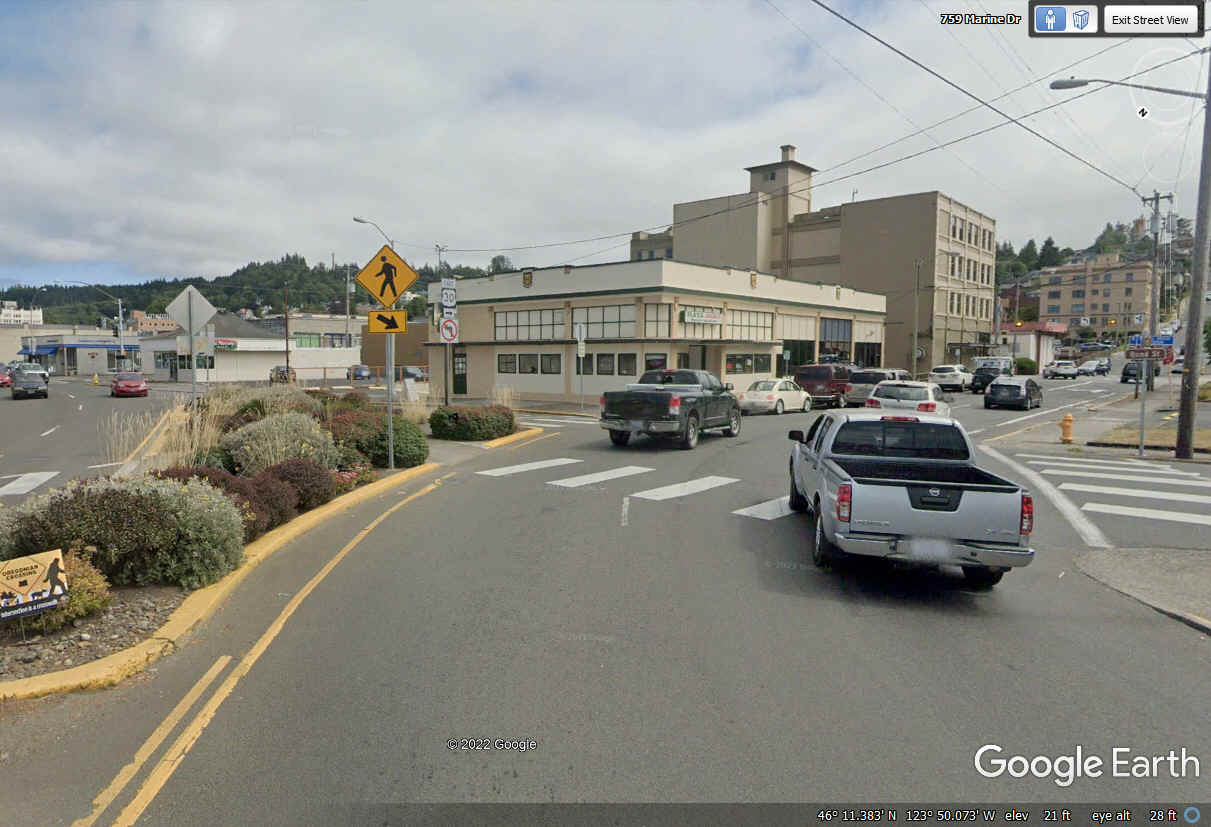
For anyone who needs confirmation, here is a view looking west at this
intersection that shows the END US 30 sign posted with the US 101 North and US
101 South signs.
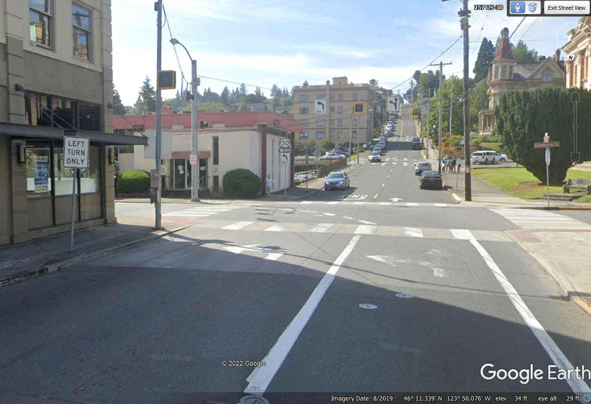
US 30 divides at downtown on TWO one-way streets running parallel through the
center of the Astoria business district.
Just one block past the split, the LEFT turn sign puts US 30 traffic back
on course heading EAST. There is one lane that goes straight ahead to a
pair of local attractions.
Oregon - May 16, 2004 along the Oregon coast.
After
lunch, the sea port town of Astoria, Oregon had some nice sights. There
are plenty of post cards showing the docks, the big bridge taking US 101 over
the Columbia River to Washington state, etc. But few pix show these
sights. This classic old home a few blocks from main street is just great
with all that detail and ornamental iron work.
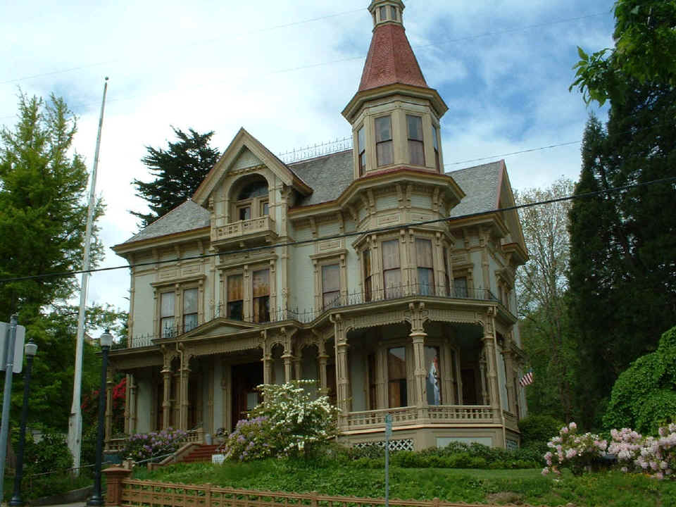
This new Google Earth image shows how the classic old home above has
become the Flavel House Museum and its proximity to the Oregon Film Museum in
the OLD JAIL
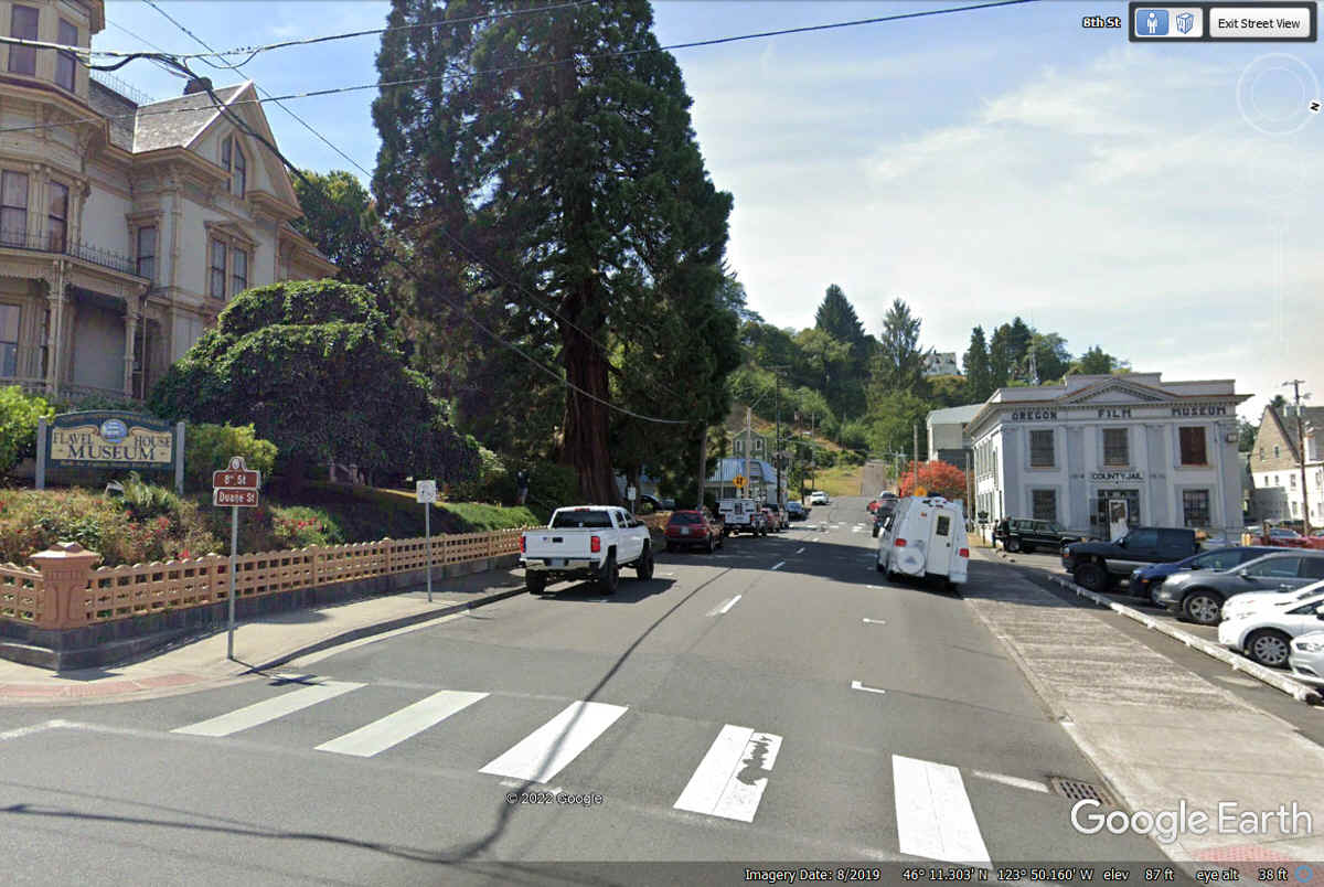
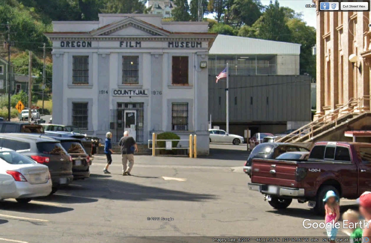
Taking the street straight ahead reveals a couple of classic old buildings
in the next block. The old County Jail is now the Oregon Film
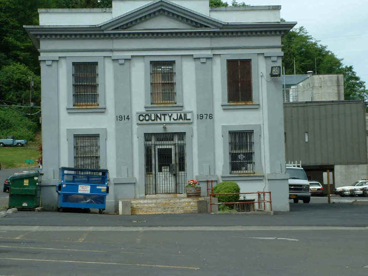
Museum. It is next to the house seen above.
Here is my photo of the old jail from May 16, 2004.
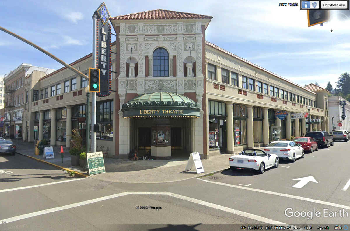
The Liberty Theater was built in 1925 during the days of Vaudeville live shows and has
endured to the modern era. This Google Earth image is from August
2019. A Google search reveals many details about this historic building.
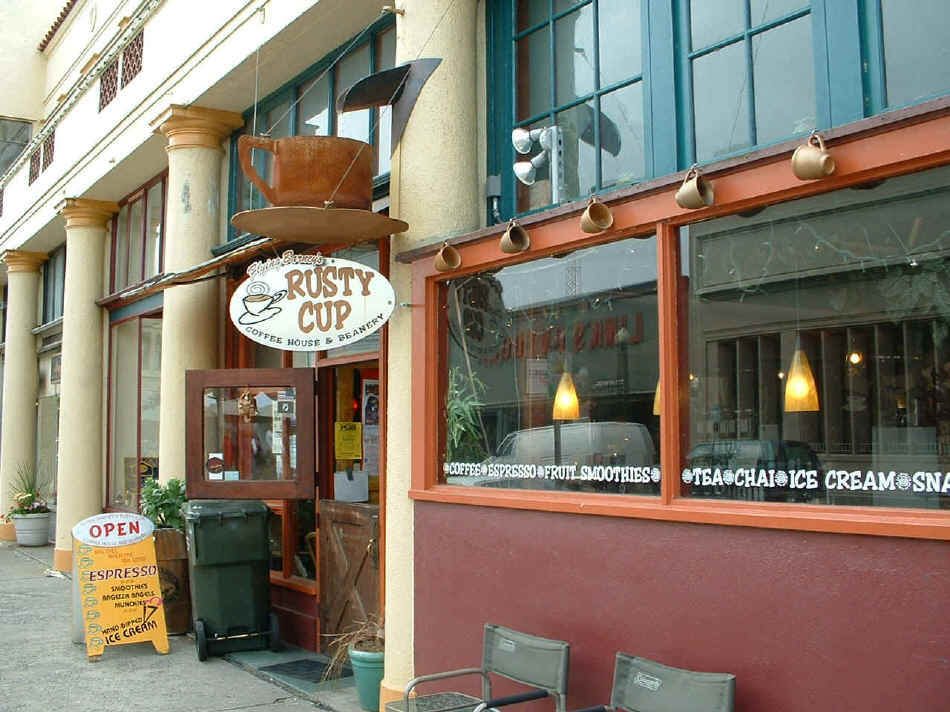
This
coffee shop over on Commercial Street was well advertised by this sign.
There was a street fair with many street vendors in tents along several blocks
of the downtown area adjacent to this shop. The smell of cotton candy,
caramel corn, and other food court smells made it a tantalizing place.
This image is from May 16, 2004 when I passed this way and took a few photos
with my digital camera.
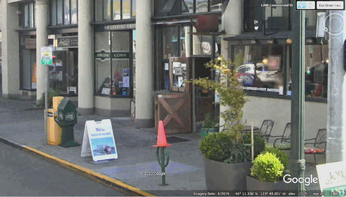
The
old Rusty Cup sign seen above is still there as seen in this NEW Google Earth
image from August 2019. The white oval sign above is missing in the image
below from 2019, but the big rusty steel cup is there above the door, but in
shadow and not easily visible in this Google Earth Image. The
Rusty Cup is next to the Liberty Theater Entrance.
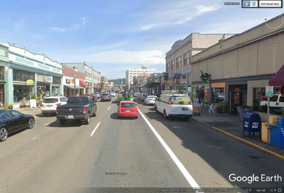
The classic old downtown buildings of Astoria have been well preserved
here on Commercial Street.
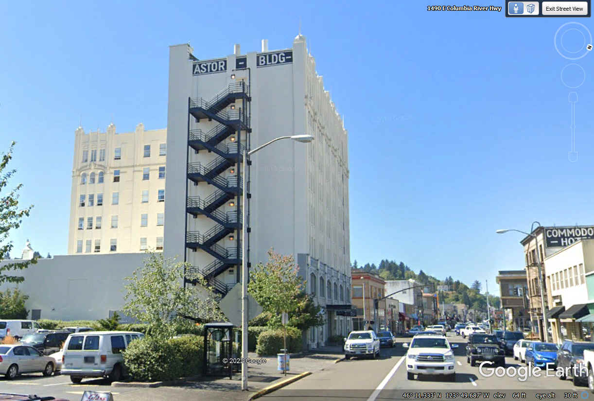
Here is the John Jacob Astor building farther down the street away from
the center of town. The history of this building is found on
Wikipedia: https://en.wikipedia.org/wiki/John_Jacob_Astor_Hotel
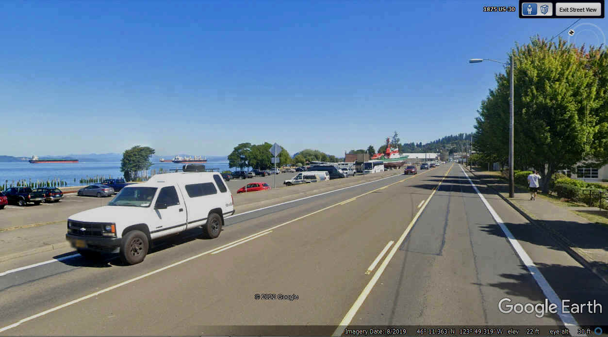
East of the downtown area, the marine facilities on the Columbia River
along US 30 are now the focus.
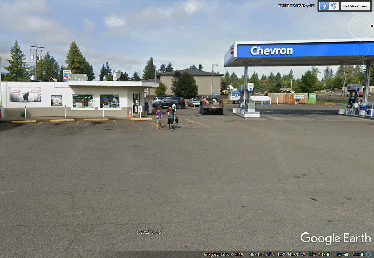
This Chevron station and country market was a good rest stop about 17
miles East from Astoria, Oregon.
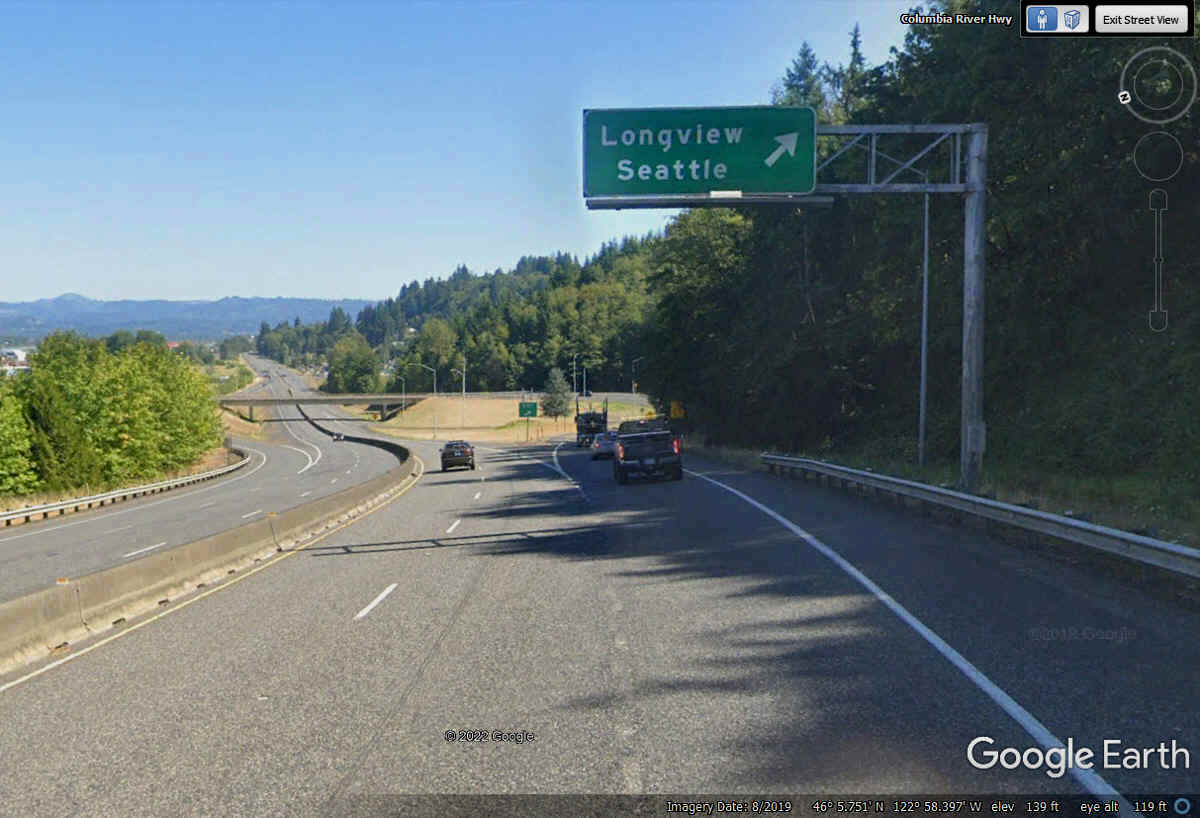
This exit from US 30 East on the Oregon side of the Columbia River takes
us over to Longview, Washington via state route 433.
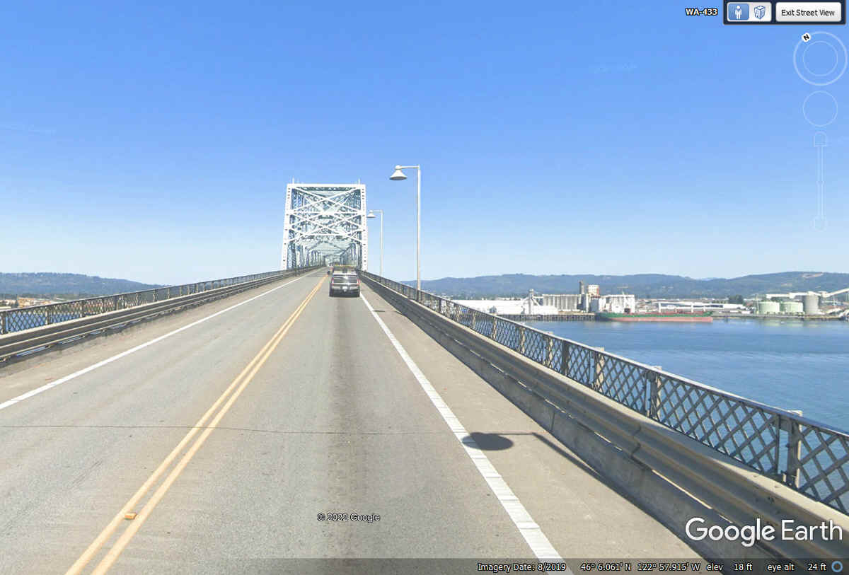
The Louis and Clark Bridge crosses the Columbia River into the town of
Longview in the state of Washington.
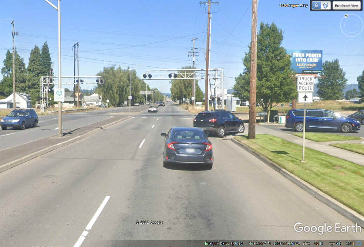
At the north end of the bridge, the road comes down to ground level with
these signs to point to truck routes. The road that continues straight ahead is
still named Oregon Way where my GPS is taking us north toward the center of the
town of Longview.
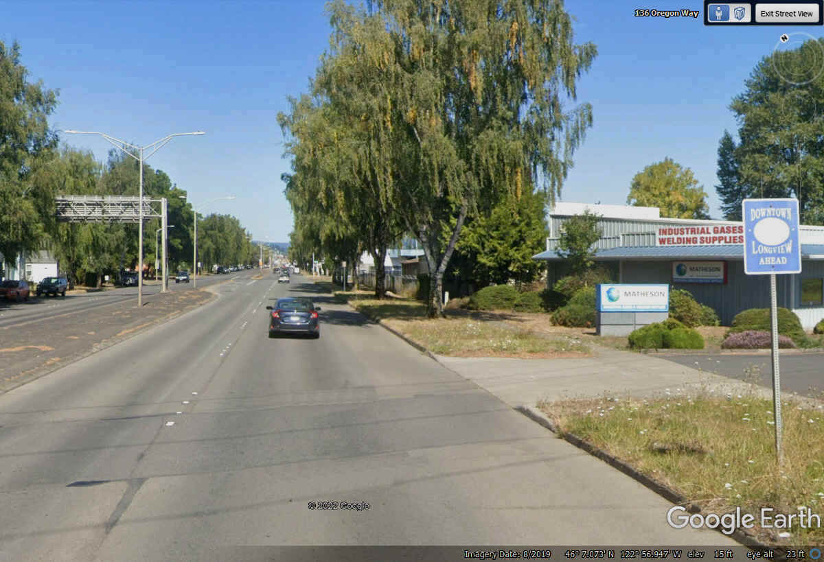
This is Oregon Way going North after crossing the truck routes going East
and West beyond the bridge. It has four lanes and my GPS tells me this is
the way to our hotel for tonight. The first street sign in next block has no highway number, but it does say
this is the route to DOWNTOWN LONGVIEW. My digital road map on my GPS
shows some major secondary routes that come together near the center of
Longview. Oregon Way is one of those routes and we are still on it going north.
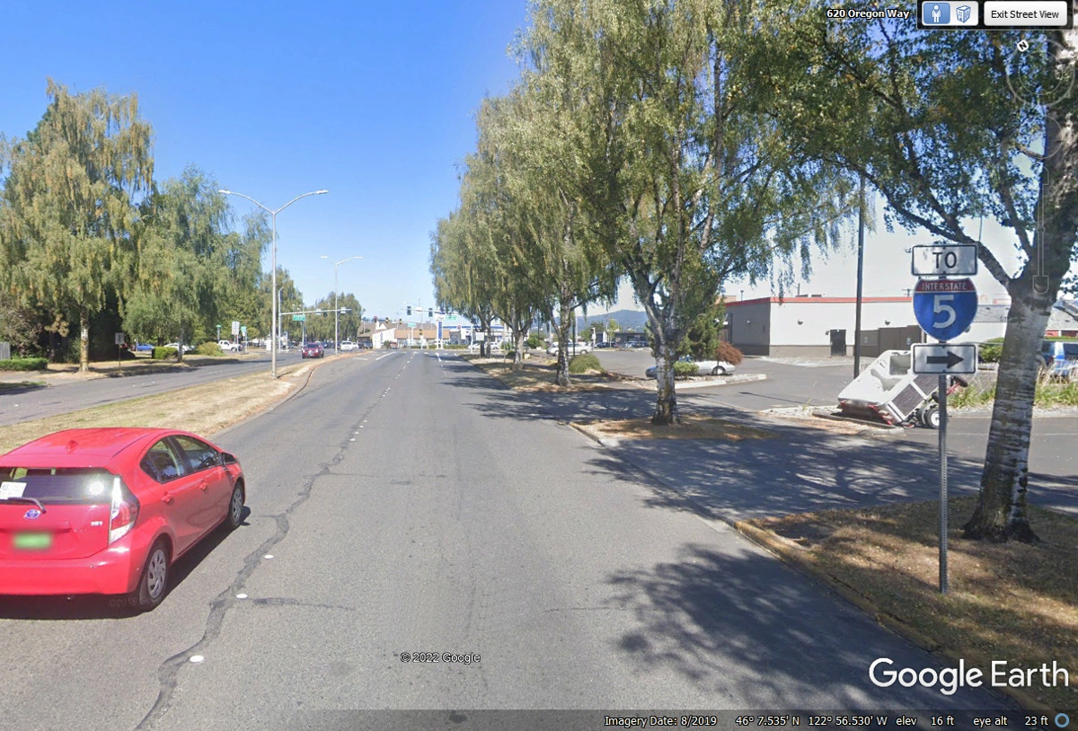
This sign pointing to Interstate 5 is fine if you want to go south.
Our motel for tonight is on the northeast side of town. My GPS is still
pointing NORTH.
We have been on 15th Avenue from the point where Oregon Way ended while
coming north from the bridge. This intersection is where 15th avenue
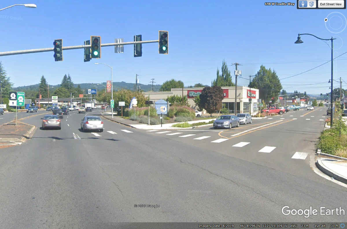
continues north but we follow Washington Way leaving the center of town going
northeast toward Interstate 5 and our hotel location for tonight.
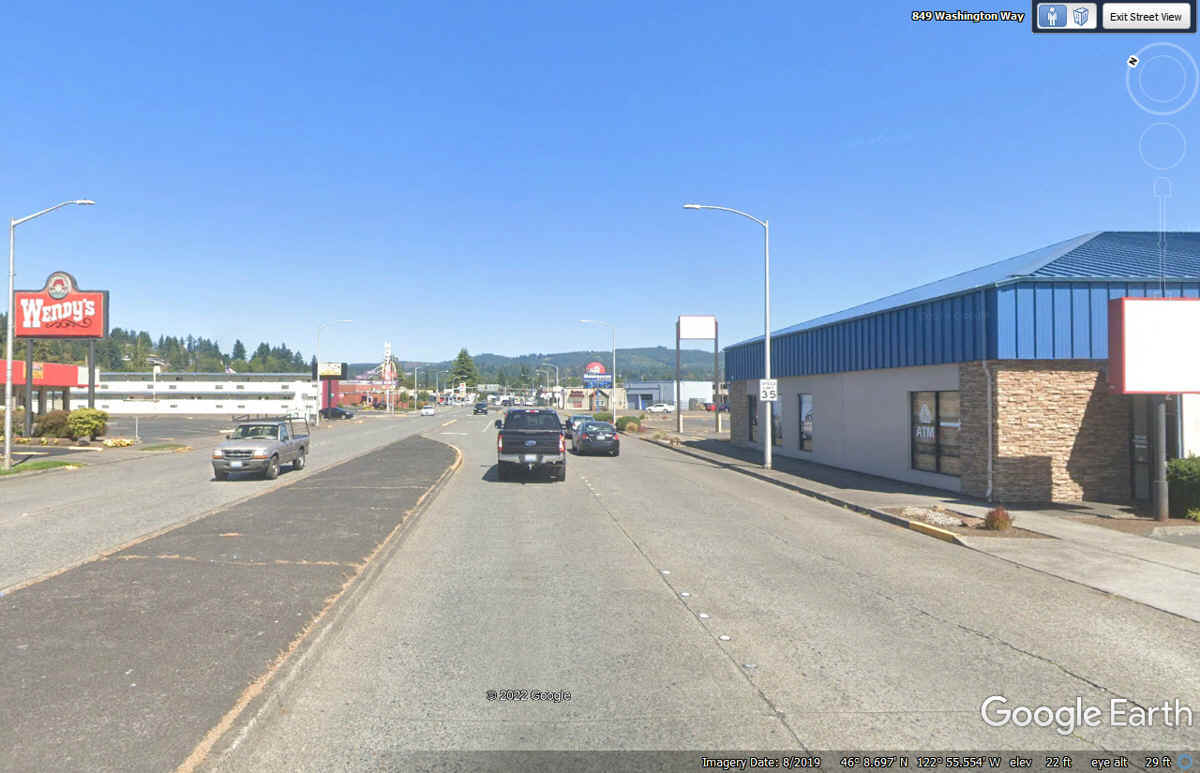
That Wendy's seen below is the closest one to our motel for tonight.
That means
we will get our breakfast sandwiches there tomorrow morning before we get on I-5
northbound headed for the Mount Saint Helens volcano.
We leave Washington Way for Main Street in Kelso, Washington heading East
across I-5 a few blocks East from this intersection.
This intersection is not the end of Main Street which actually continues
to the LEFT here heading toward I-5 and the access road where our motel is
located. We turned left here.
When Main Street reaches the Cowlitz River, the street is named Allen
Street to cross the bridge seen below going into Kelso, Washington. https://en.wikipedia.org/wiki/Cowlitz_River
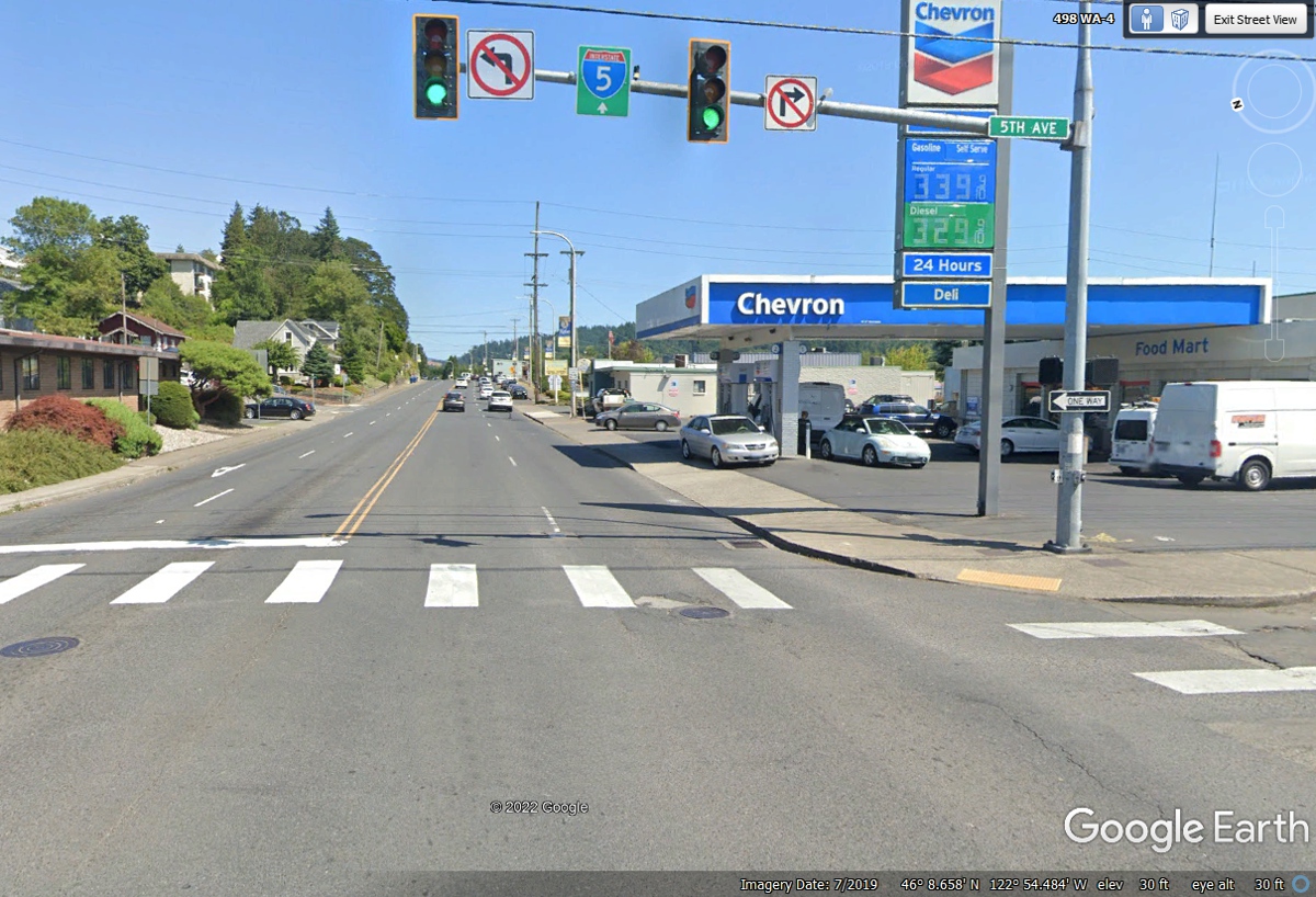
The bridge ends before it reaches 4th Avenue, a one-way street going south
where it joins Washington state route 4 going East as seen here at 5th Avenue, a
one-way street going north and showing a sign pointing East to Interstate 5
ahead.
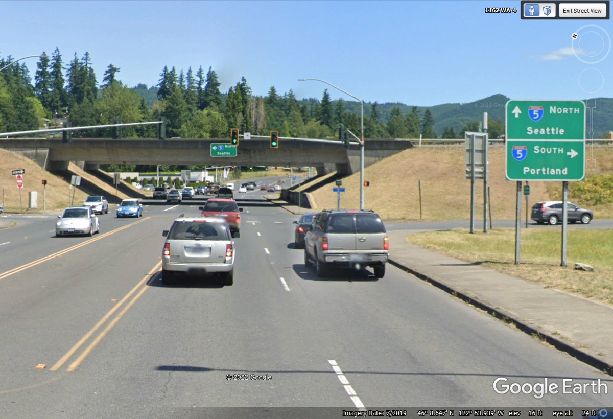
Here is I-5 with both sets of on/off ramps. We passed under the bridge
and turned left at the frontage road on the other side.
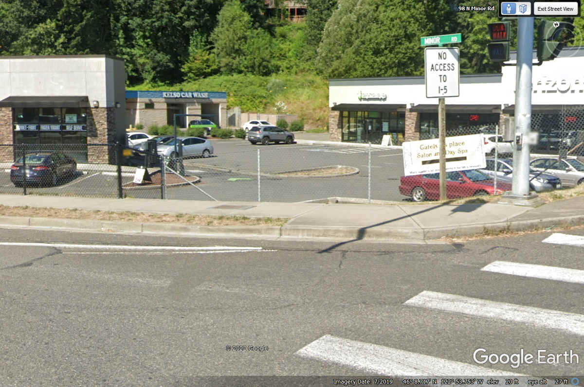
Here is the frontage road sign to make sure folks know it does not have a
connection to Interstate 5.
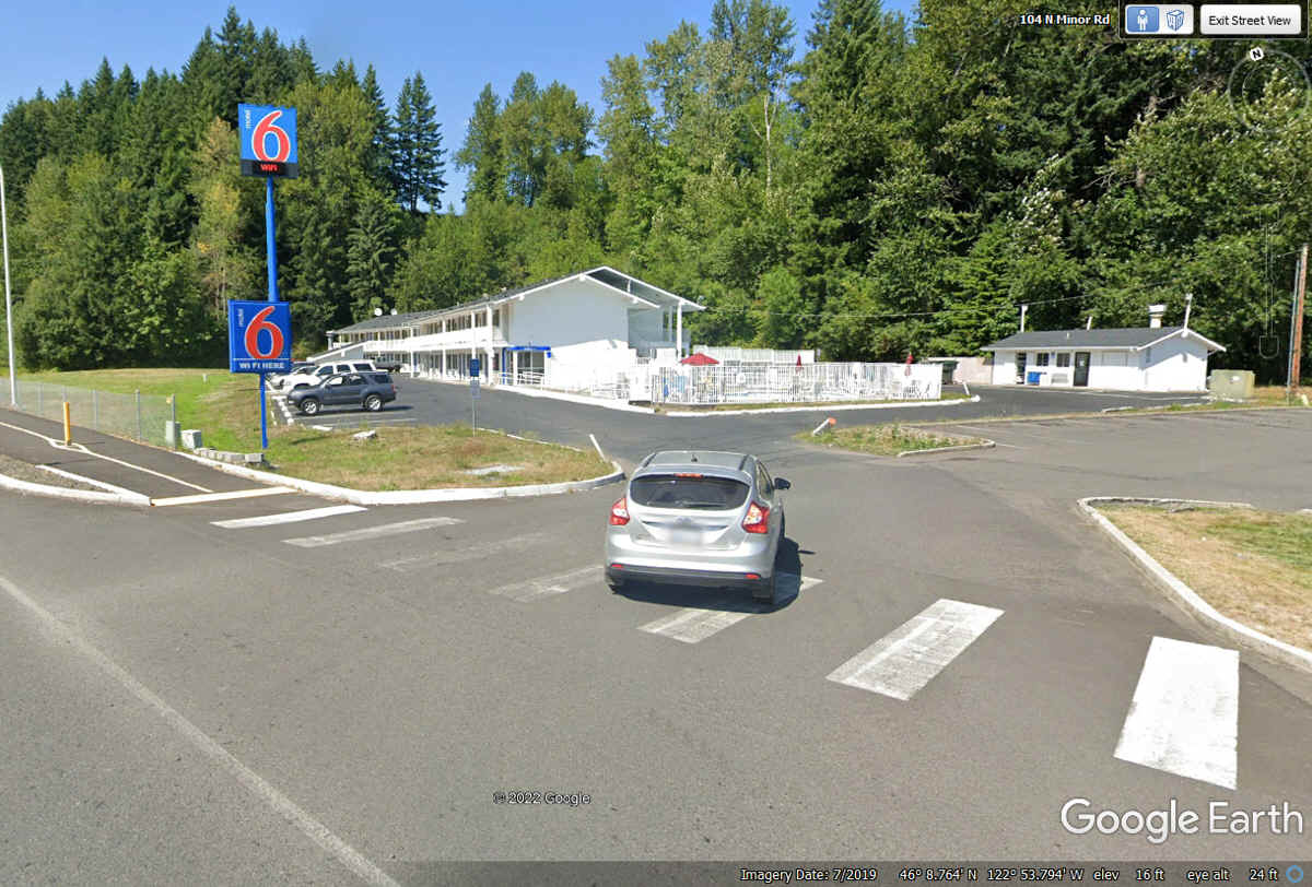
After passing under I-5 and the on/off ramps for northbound traffic, we
make the LEFT turn to the frontage road where our Motel 6 for tonight is located.
| MOUNT SAINT HELENS AND MORE - PAGE 37 | RETURN TO WESTERN TOUR INDEX PAGE |