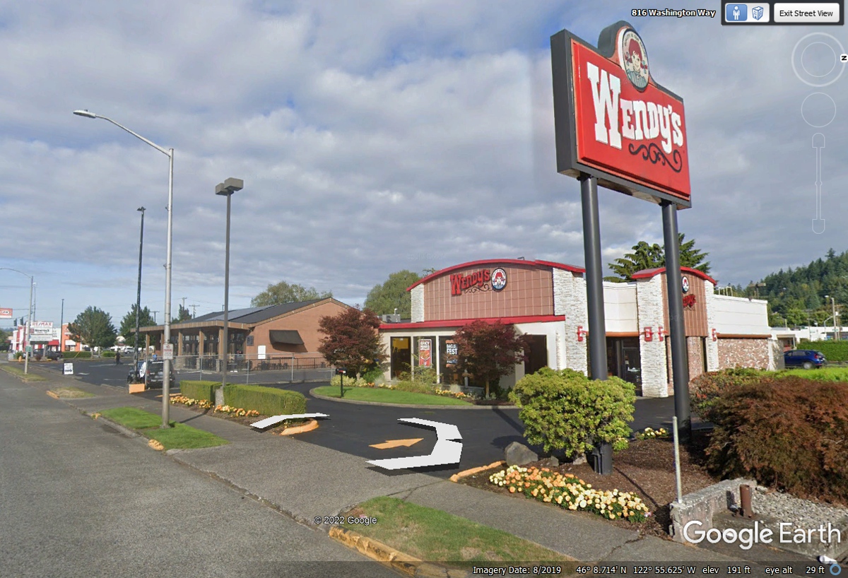
June 6, 2022: Monday - We headed out to get our usual Wendy's drive through take-out breakfast items.
June 2022 Vacation Day 15, Mount
Saint Helens, Washington Attractions · · PAGE 37.
June 6, 2022: Monday - We headed out to get our
usual Wendy's drive through take-out breakfast items.
This image shows a
mid-day image when there are a large number of Wendy's customers. We got here
early and were parked in the shade of the green building on the East side of
Wendy's parking lot with no other cars.
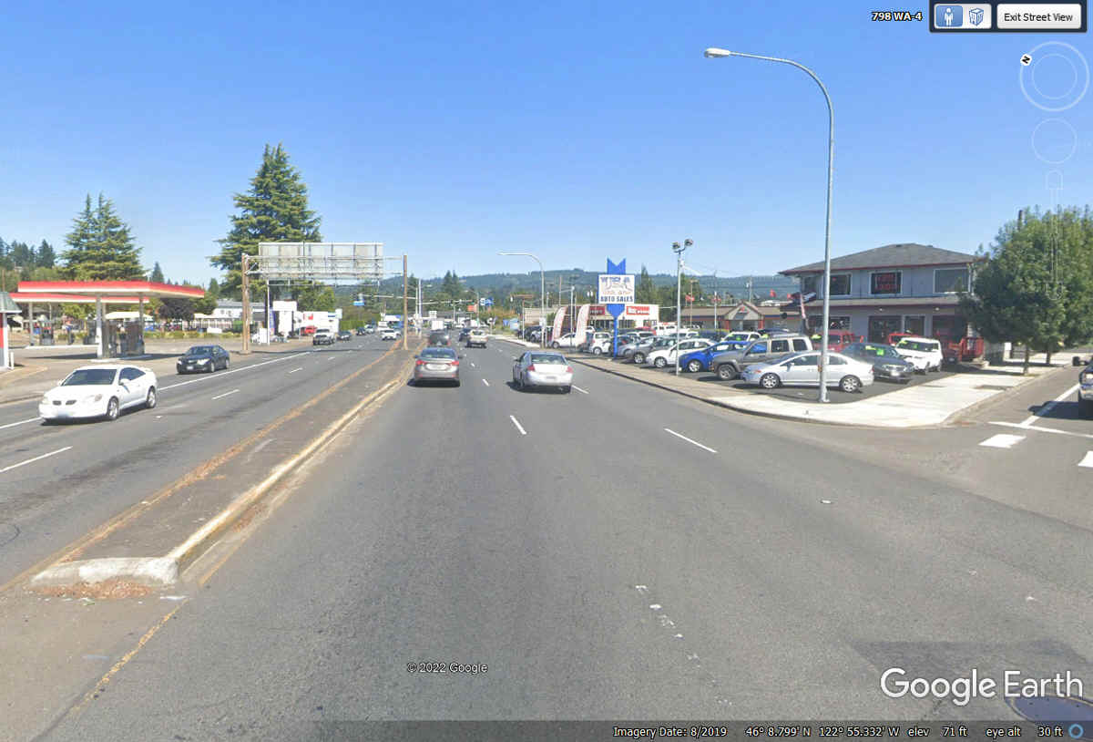
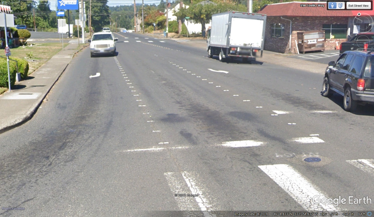
We went out the back exit from Wendy's and turned right on
Washington state route 4 toward an interstate route 5
junction.

This intersection is where state route 4 turns northeast for a short distance
then turns East to cross the Cowlitz River bridge. Turning left with WA route 4 was taking us to the other bridge that
crosses the Cowlitz River going into Kelso.
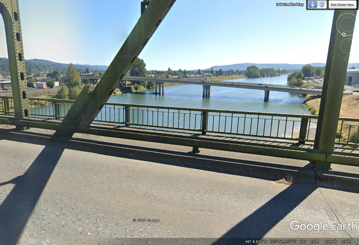
Here is the view through the truss bridge from route 4 looking south at
the Allen Street Bridge.
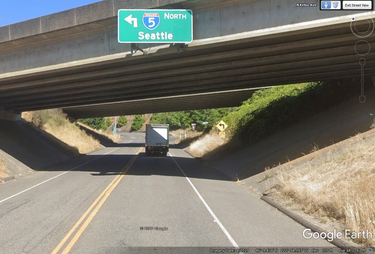
Pacific Avenue is the first north/south cross street after the WA route 4
bridge. My GPS is pointing NORTH from this intersection to use Pacific
Avenue to get to the next interchange for I-5 northbound. Turning LEFT
here goes through a residential area on the way to the I-5 connection north of
the one that is near the motel where we stayed last night.
We are getting on I-5 northbound at exit 40 until we get to a route to
Mount Saint Helens going East.
It turns out the next exit north is exit 49 with route 504 going toward
Mount Saint Helens.
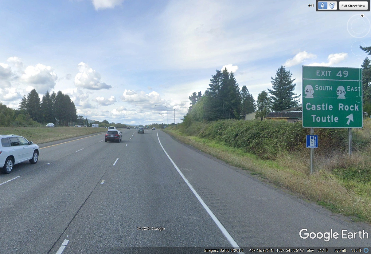
A short 9-mile ride north on I-5 takes us to the southern route from I-5
Exit 49 to Mount Saint Helens. There is a return route that meets I-5 at
exit 63 that I have used in the past.
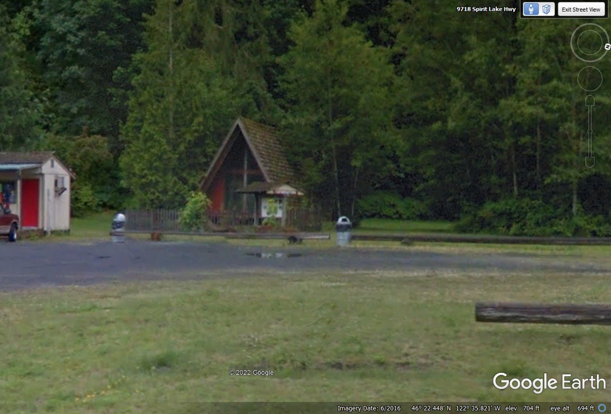
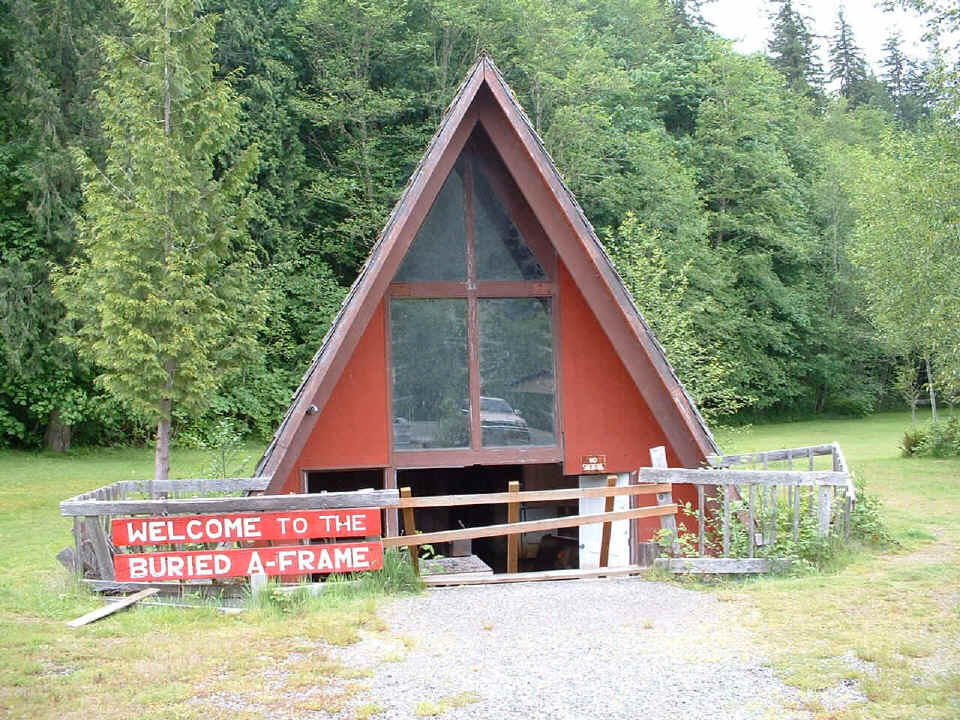
This A-Frame house was partially buried during the 1980 eruption of Mt.
St. Helens Volcano. It is located at 9718 Spirit Lake Highway, Washington
route 504. The "A-frame house was finished right before the
eruption, but never lived in by anyone.
This is a photo I took with my old digital camera and put on my
web site in September 2014. This house was buried with about four feet of
MUD inside and dug out by hand to show the original floor inside FOUR FEET below
he
new ground level after the eruption and mud slide down the river that is behind
this house.
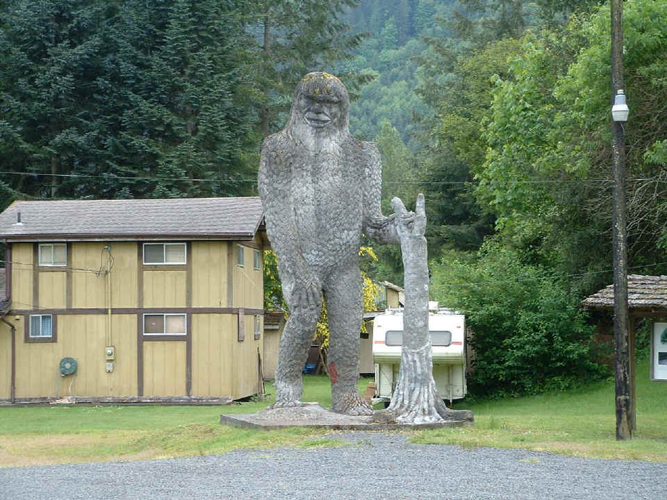
The person who owns these exhibits created this "BIG FOOT" statue
using volcanic ash.
North
Fork Survivors
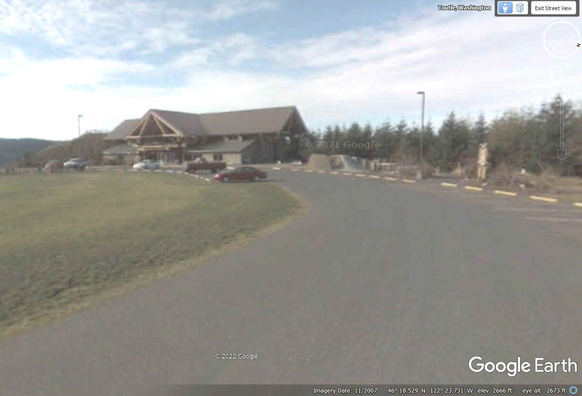
Here is an Aerial View of the Mount Saint Helens Forest Learning Center
located about 34 miles from the town of Castle Rock and Interstate 5.

This Google Earth ground view is from the year 2007. We paused here for a
rest stop and some tourist literature about Mount Saint Helens in our 2022
vacation trip. This is the building seen in the aerial image above.
The 2007 Google Earth image does not have the higher resolution of the new
Google Earth images from 2019 and later.
With some luck with Google Earth, here are the images I could not get with
my camera during my earlier visits here. The top of the volcanic peak was
always obscured by clouds. The top of the mountain was 1,200 feet higher
before the 1980 eruption.
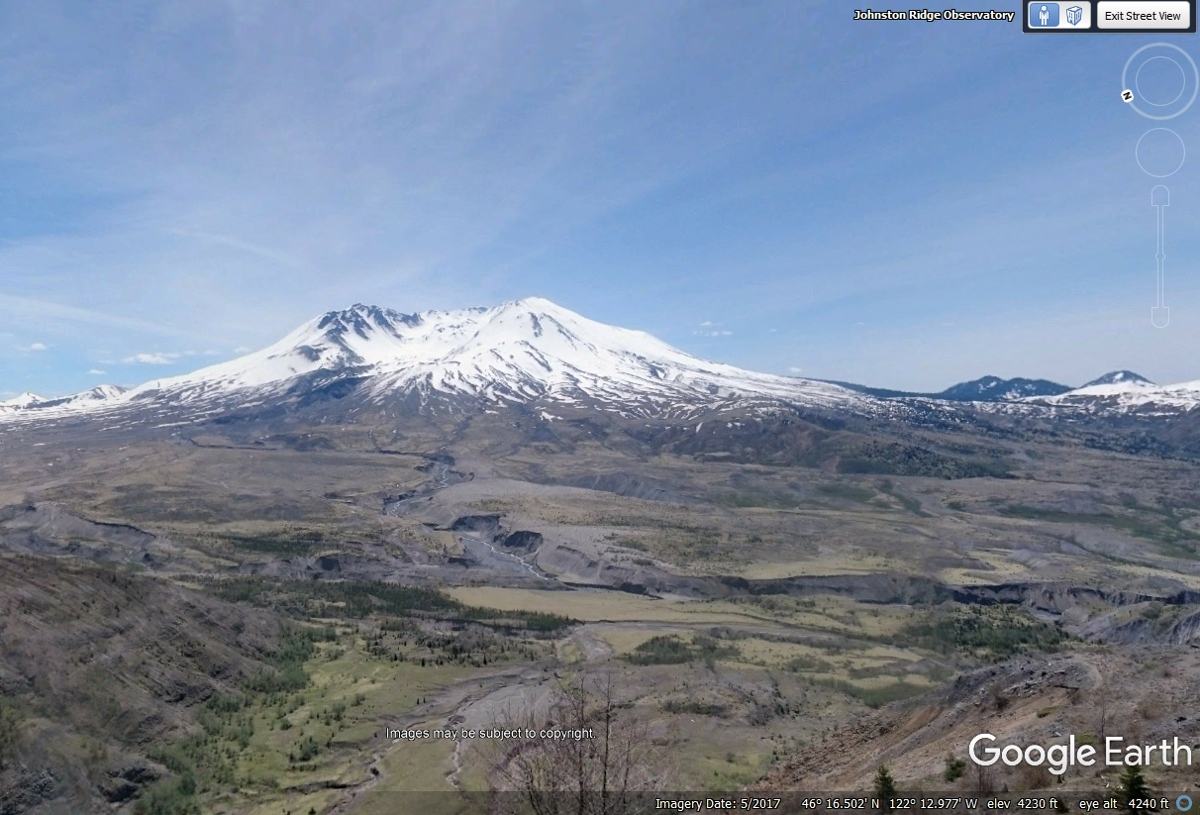
I have been to Mount Saint Helens three times and have never seen the top
of the mountain with my eyes or a camera due to low cloud cover at the
peak. With this image from Google Earth, I managed to see the top of Mount
Saint Helens. I did see it from an airliner that departed Seattle Tacoma
airport heading back to Florida a number of years ago after a business
trip. I only saw the top of the mountain poking through the clouds from that airliner.

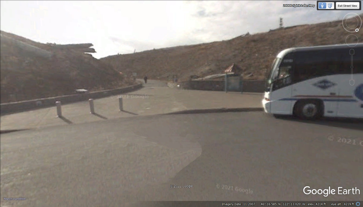
This is the bus stop at the south end of the parking lot
where folks can walk up to the main view point for Mount Saint Helens.
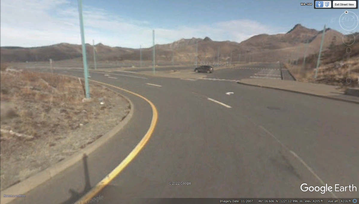
This is the main parking lot near the main view point at
Mount Saint Helens.
Linda captured some photos from the main viewpoint looking
south at Mount Saint Helens. The cloud cover on June 6, 2022 obscured the
top of the volcanic peak of Mount Saint Helens.
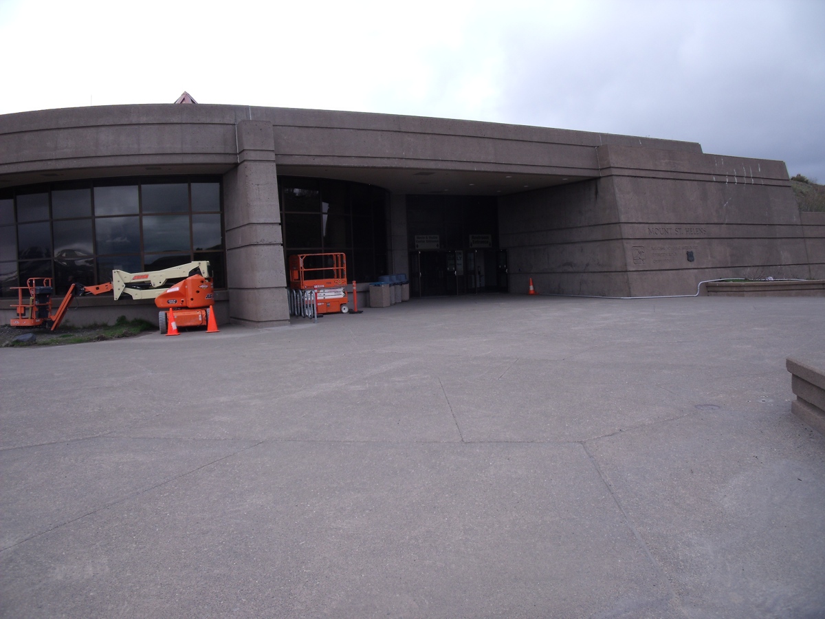
This is the visitor building at the main view point for
Mount Saint Helens. They show documentary movies inside.
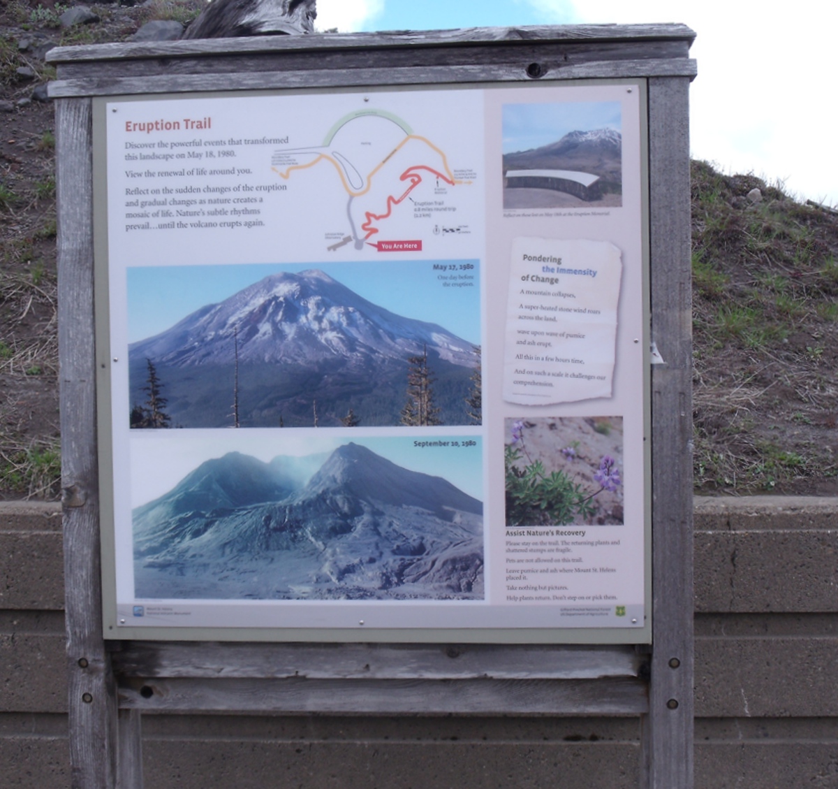
Here is Linda's photo of the billboard in the viewing area
showing the mountain before and after the 1980 eruption. About 1,200 feet
were blown away from the top of the volcano.
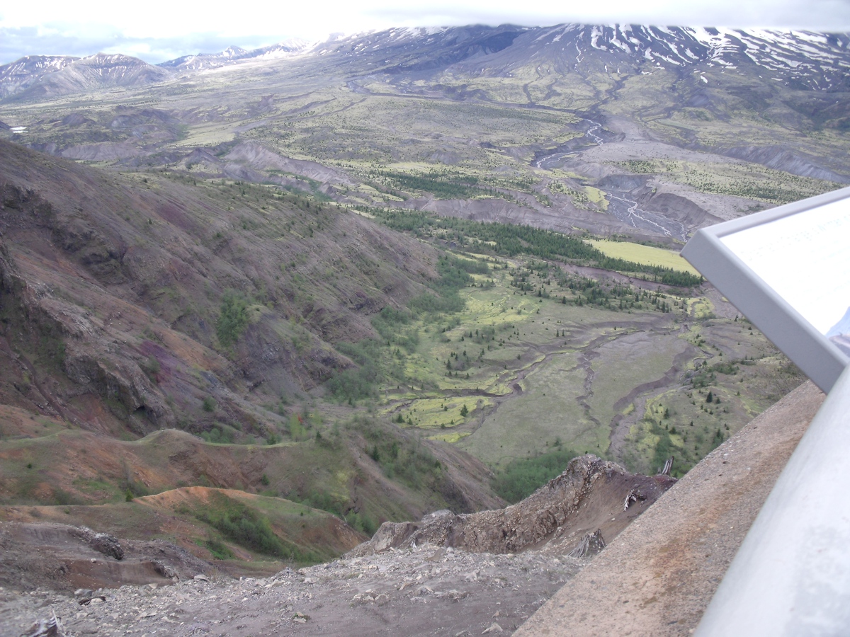
This image shows how plant life has returned. The
animals have also come back to this area. The day of the eruption,
everything was destroyed on the north side of the volcano. Mountains had
their trees laid flat by the blast wave. The trees rooted behind the
mountain tops had the tops of trees that stood tall enough to be caught in the
blast were sheared off.
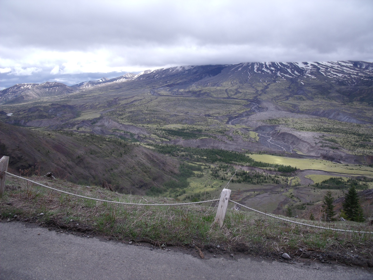
Here is my similar view looking down at the lake in front
of Mount Saint Helens. All the trees that were blown away in the blast
were carried away toward the Pacific Ocean by the landslides. One of news
videos taken after the eruption showed some trees that passed under the
Interstate 5 bridge and did not destroy that bridge.

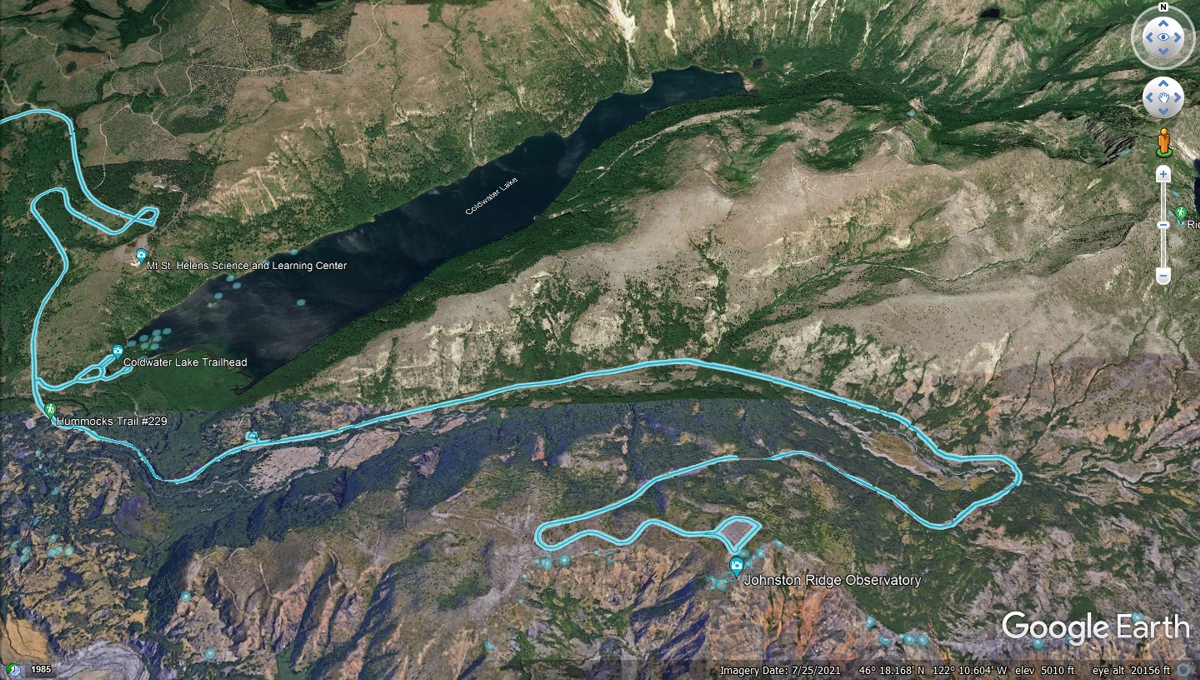
All the Mount Saint Helens photos above were taken from the
Johnston Ridge Observatory. The image below shows the devastation on the
side of the mountains facing the volcano. All the trees in the
"shadow" of those mountains have their old trees intact. The
BLUE lines are the GPS ground tracks of Google Earth camera vehicles that have
come this way. The BLUE triangle at the observatory show the turn around
track for the Google vehicle. All the BLUE dots are locations of
photographers who have sent in their 360-degree images to Google Earth for
viewing by the public. You can see those photos only while logged on to
Google Earth.
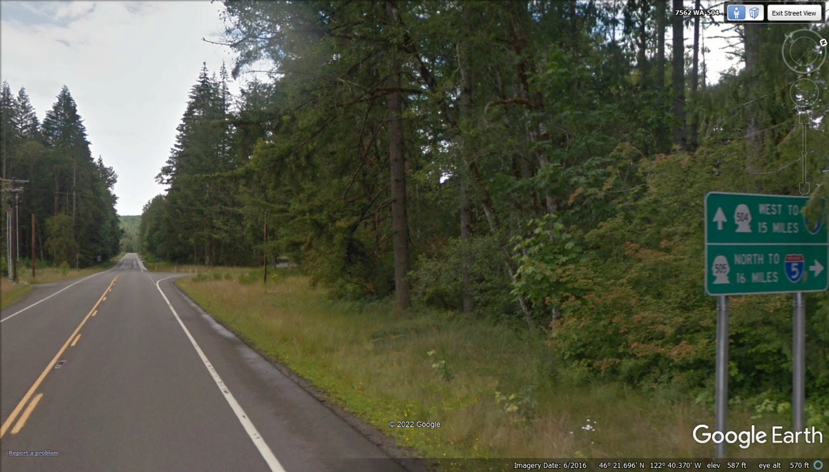
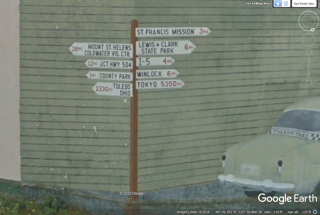
Here is the sign to put us on the correct route at the next
intersection with a right turn for our next attraction, the town of Toledo,
Washington. The image below from Google Earth was captured in June 2016.
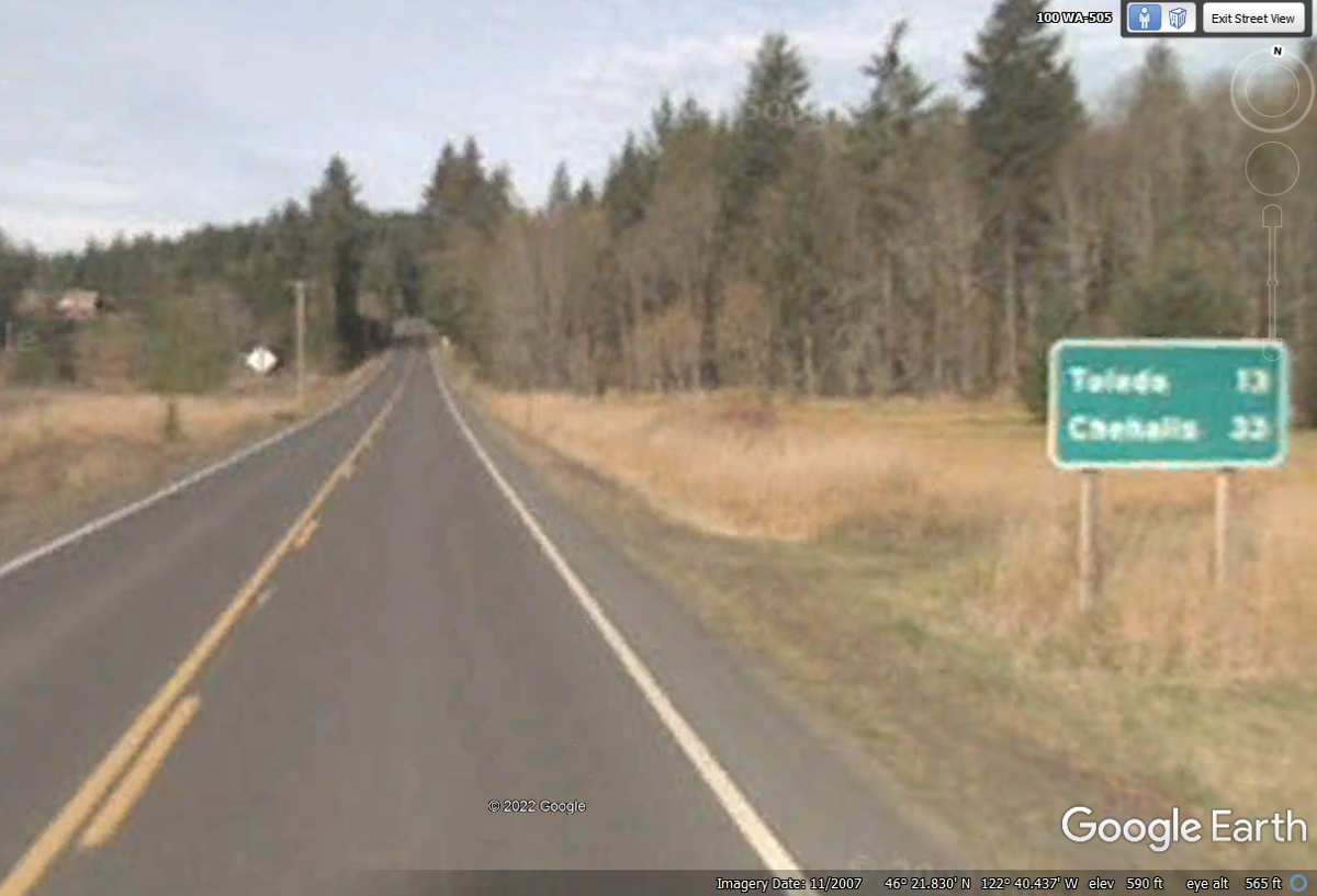
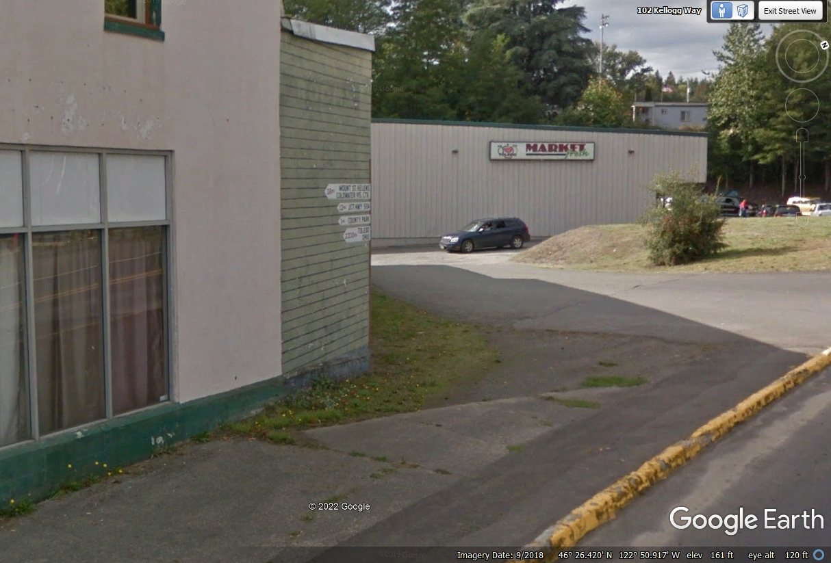
On the way back to Interstate 5, I used Washington route 505 to see the
small town of Toledo, Washington. This Google Earth image from 2007 has poor
resolution, making it blurry.
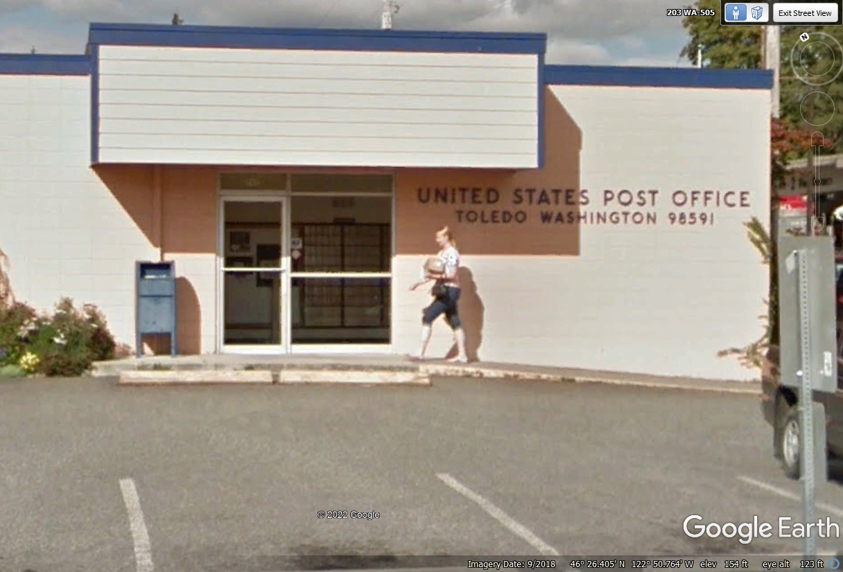
When you compare the 2007 image above with this 2018 image below, the
resolution is better for sure.
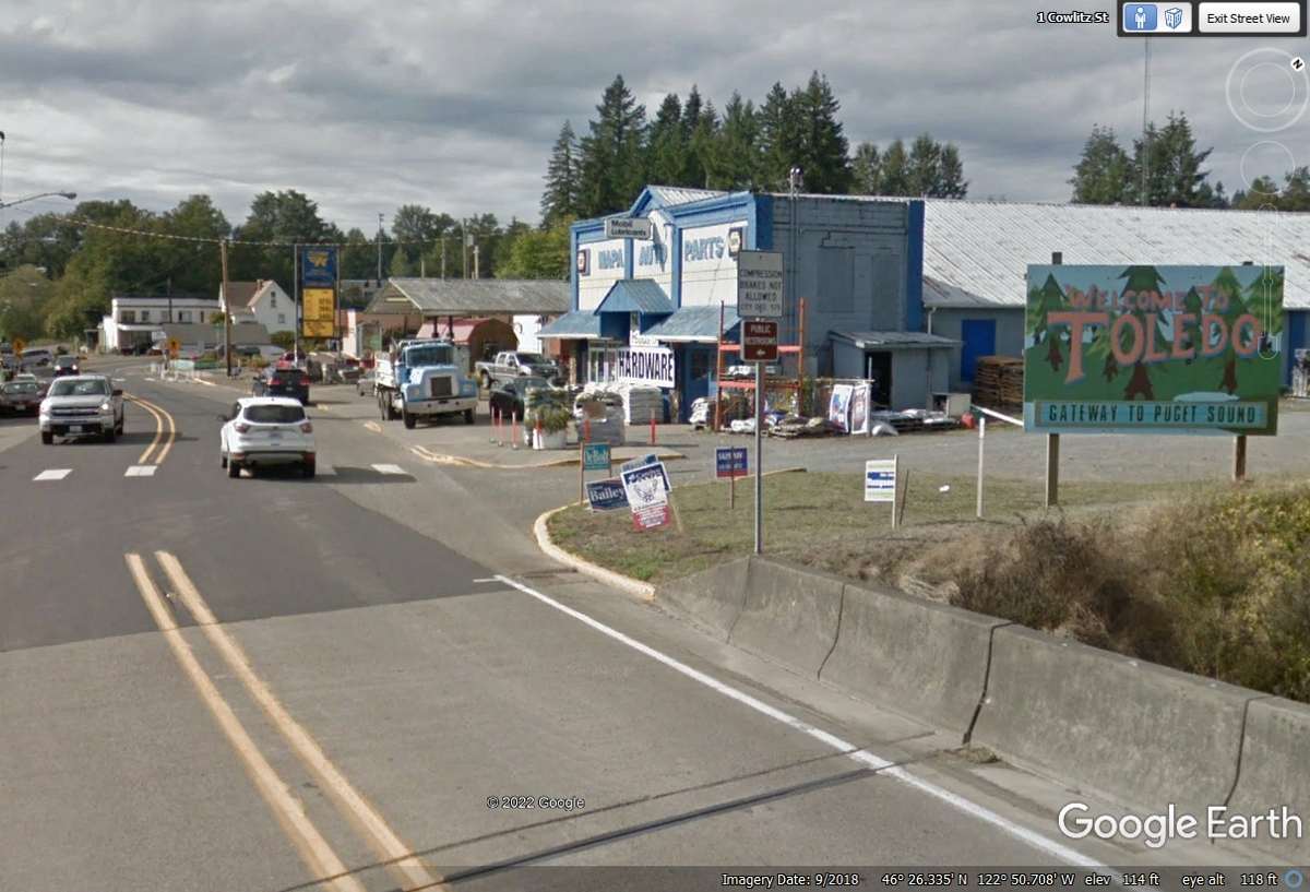
The US Post Office is near the center of town and confirms we have not
substituted different photos.
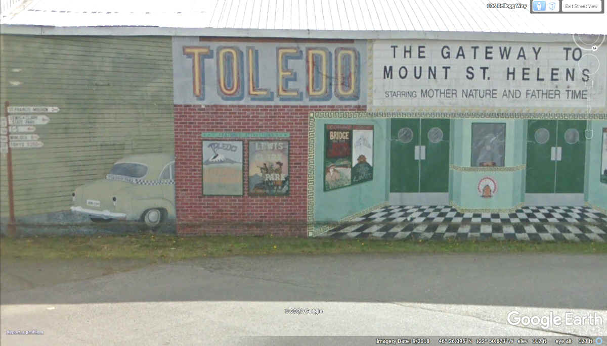
This is the left side of a large mural visible to folks entering the town
of Toledo from the west a.k.a. north side of town.
Showing the LEFT end of the mural reveals how it is wrapped around part of
the building as seen below.
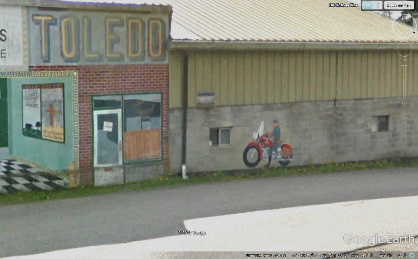
This image shows a large part of the mural on a FLAT wall with excellent
3D rendering. The Wink Theater in my hometown of Dalton, Georgia had the
ticket booth between two sets of double doors painted here as part of the mural.
The motorcycle cop reminds drivers to slow down to the speed limit through
the town of Toledo, Washington.
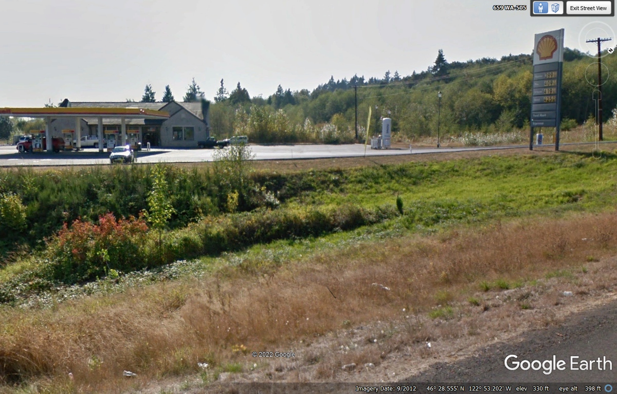
It is time to leave Toledo, Washington via the north side of town on route
505,
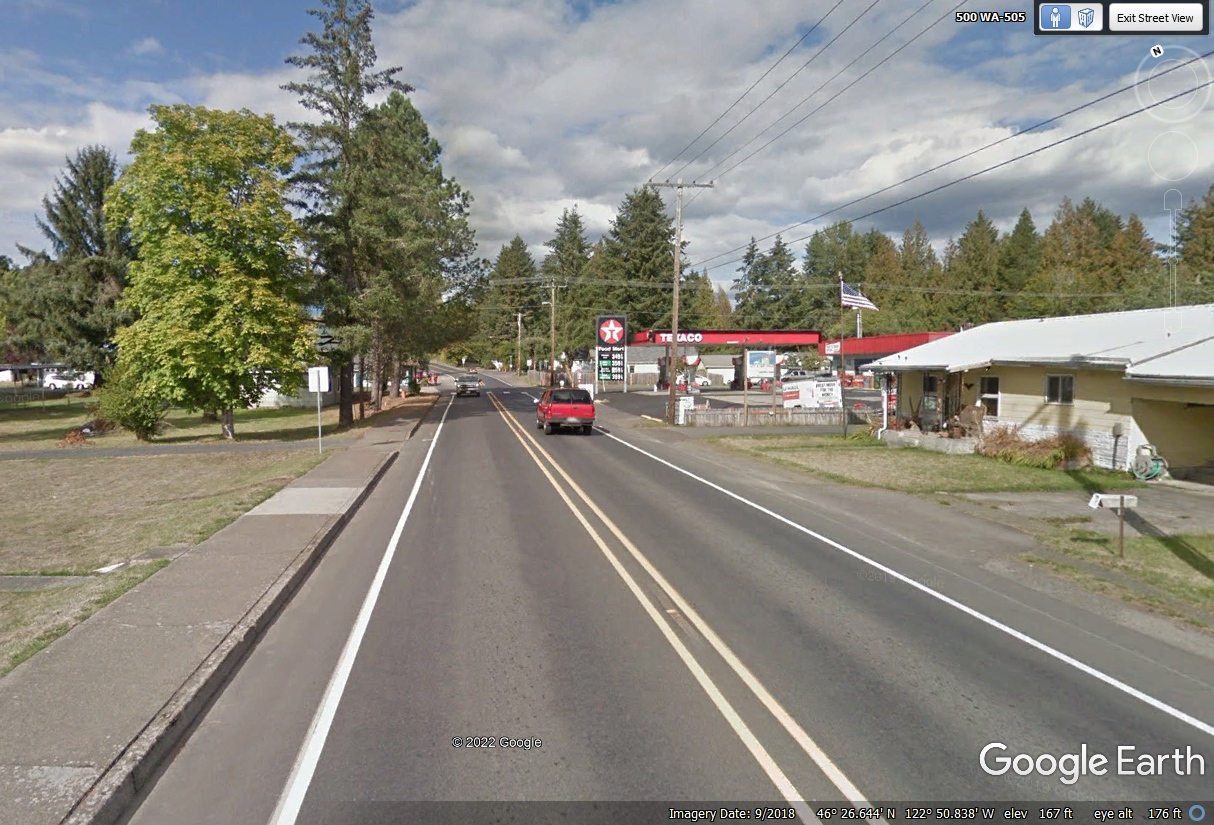
We followed route 505 to the north and then west to Interstate 5 where we
head SOUTH down toward Portland, Oregon before going EAST for our hotel
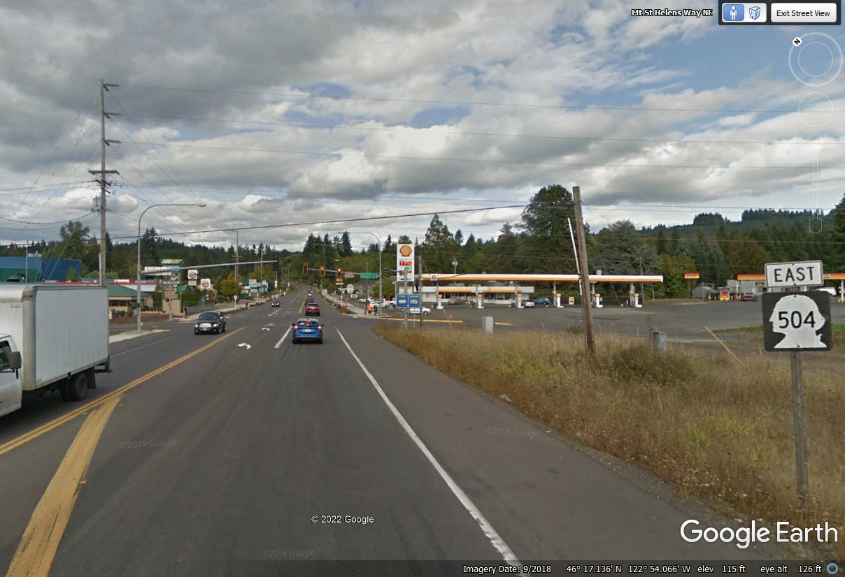
tonight. This Shell station was our comfort rest stop before we continued our trip today.
| HEADING SOUTH THEN EAST - PAGE 38 | RETURN TO WESTERN TOUR INDEX PAGE |