June 2022 Vacation Day 12, San Francisco · · PAGE 32.
June 3, 2022: The city streets of San
Francisco will reveal some of the things I have seen here in my past business
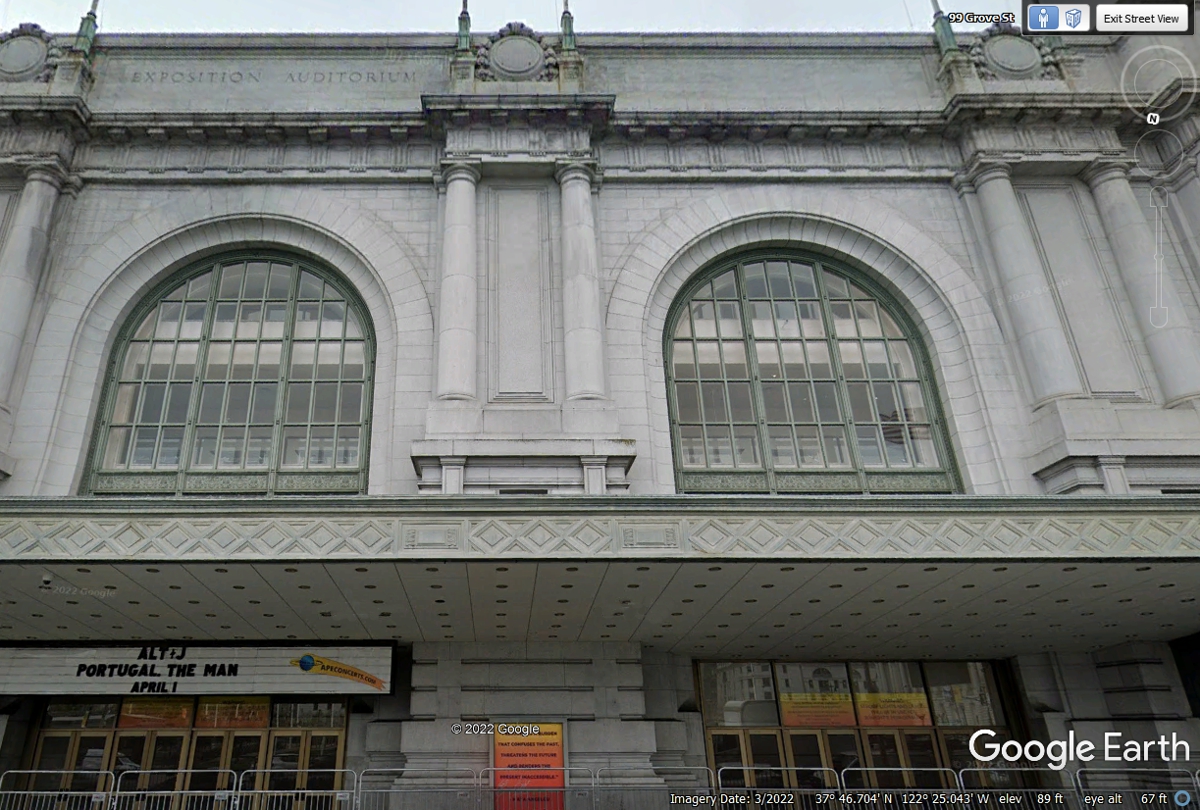
trips and some things Linda has never seen. This is the front of the
Exposition Center Auditorium located at 99 Grove Street across the street from
City Hall. This place was built in 1915 as described in this Wikipedia
Article: https://en.wikipedia.org/wiki/Bill_Graham_Civic_Auditorium
Today it is known as the Bill Graham Civic Auditorium.
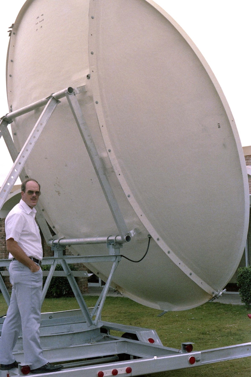
Why am I showing this place I visited on behalf of Holiday Inns of America
in the 1980's? The sidewalk was cleared out for me on that day to set up a
5-meter satellite receiving antenna like the model we sold to Holiday Inn
Network for HBO at their motels and for teleconference usage. Holiday Inn
was having a franchise holder convention at this location. I came here to show
them the antenna. Hi-Net management from their Memphis, Tennessee HQ
wanted them to join the Holiday Inn Network (HI-NET).
|
|
Holiday Inn
Satellite Antenna I brought a 5-meter transportable satellite antenna from San Diego to the location seen above in San Francisco. The antenna was folded and secured to the trailer for transport. When the antenna is pointed toward a geo-stationary satellite it would be upright as seen in the photo left of this paragraph. This picture dates itself with the bell-bottom blue jeans I am wearing and my receding hair line plus my mustache. I had a couple of strong men to help me remove the antenna parts and the base from the trailer and re-assembled them on the sidewalk seen above starting with the welded steel mount which you can see from my belt down to the trailer frame. It was assembled on the sidewalk where they had placed a large piece of astro-turf with plywood between the concrete and the astro-turf. The parabolic antenna was at a very low angle to fit under the overhang of the building. This image was the only one I could find on my computer. |
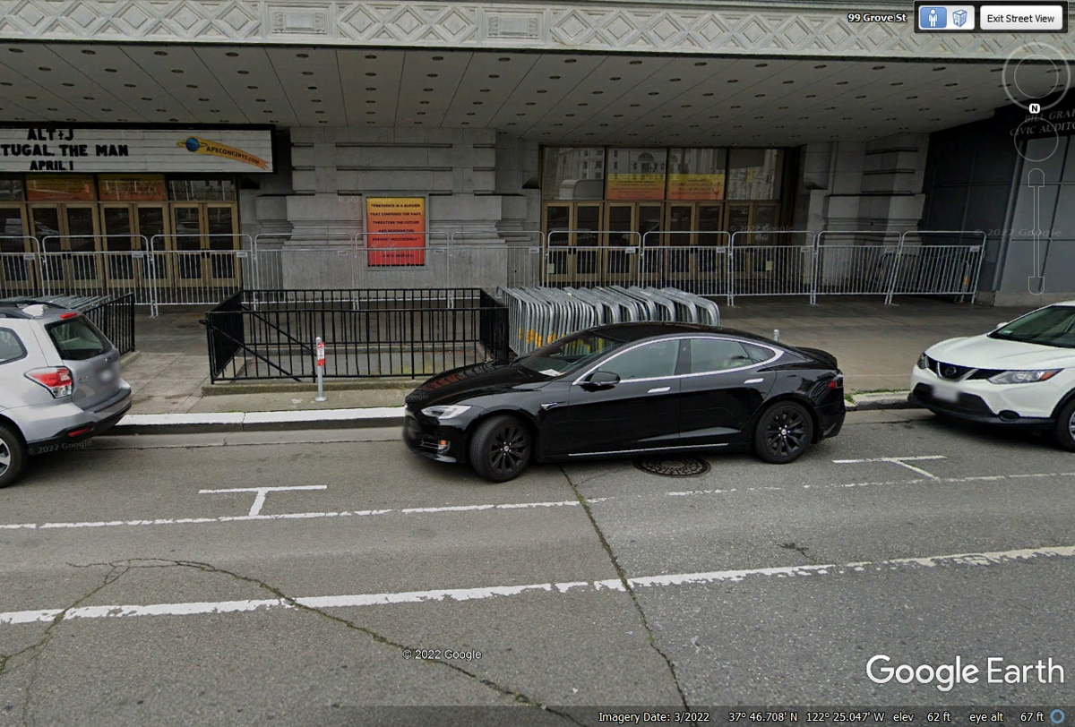
Getting back to our 2022 vacation for my self and Linda, this was the
first place we stopped about one block from US 101 and Van Ness Avenue on Grove
Street. Here is the big picture of the building where the event took place
with the satellite dish.
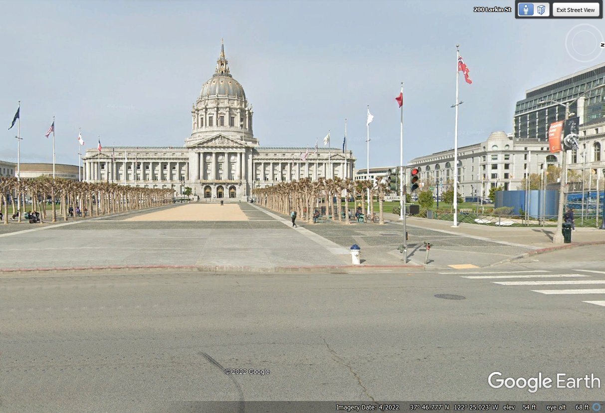
Here is the FRONT street level view of San Francisco City Hall after I
digitally removed two cars from the foreground in this image.
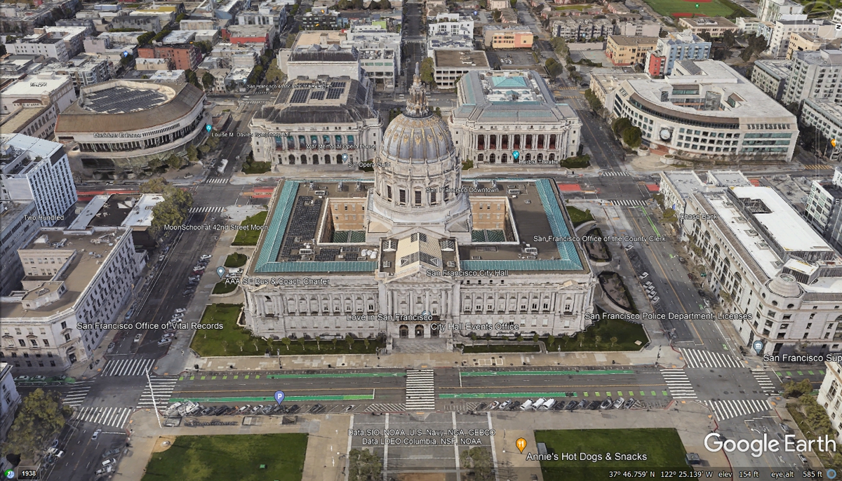
This aerial view of the San Francisco City Hall puts the neighborhood in
perspective. That street with the orange paint seen behind city hall is US
101 that runs north and south on Van Ness Avenue.
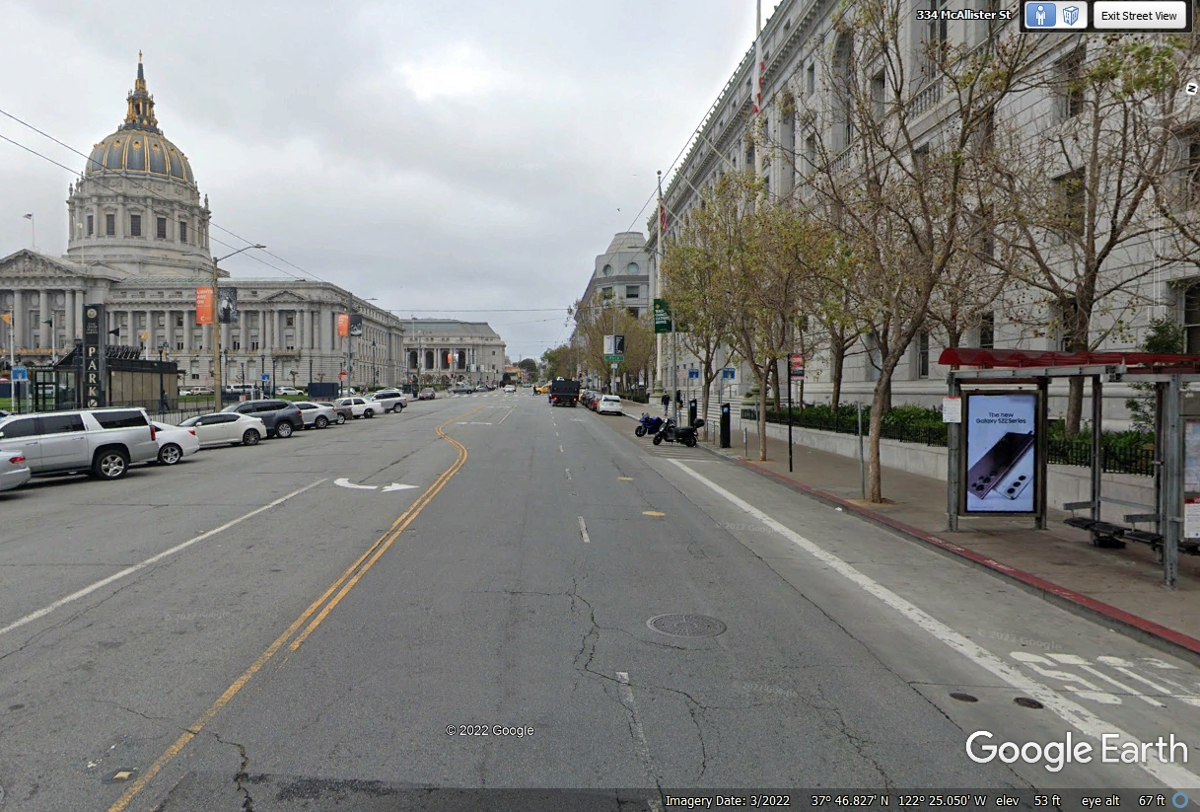
McAllister Street is the first street to take us WEST back to US 101.
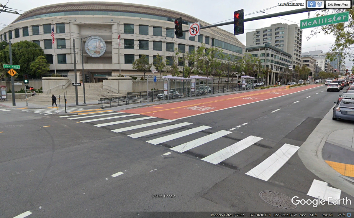
That building across the street is the State of California Public
Utilities Commission. The little green sign over there indicates this is
Van Ness Avenue. We are turning right here as this is also US 101 going
north through San Francisco.
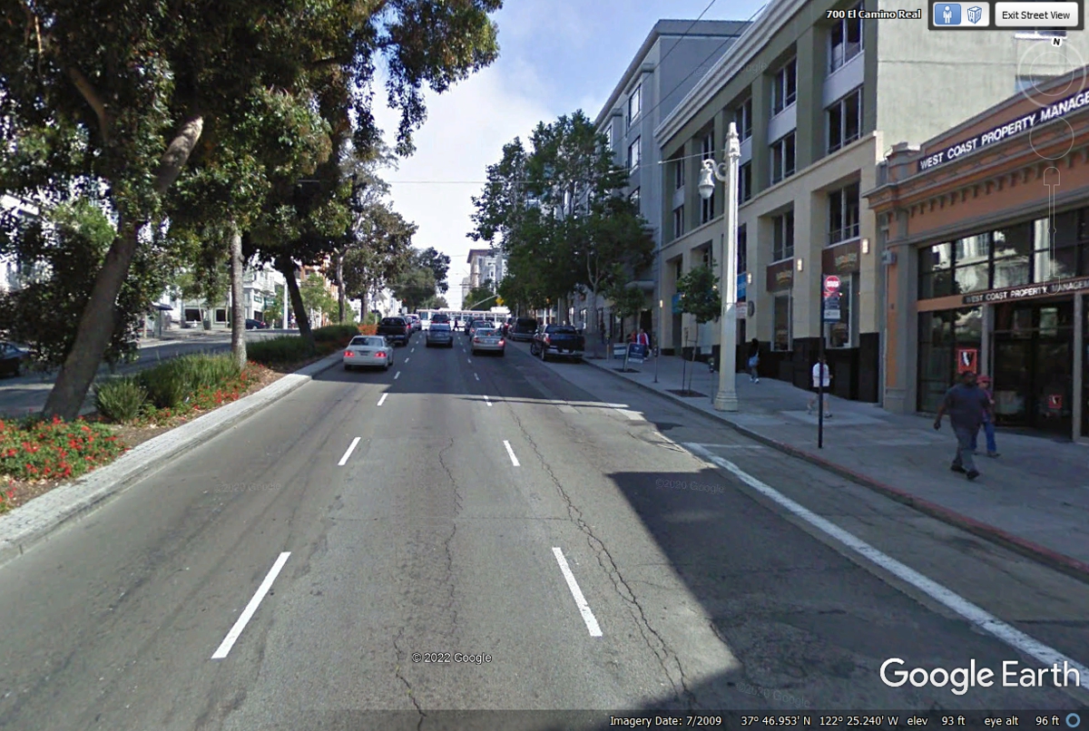
I was cruising up US 101 on Van Ness Avenue when this image from July 2009
appeared. The trees in the middle of the street have been removed since then.
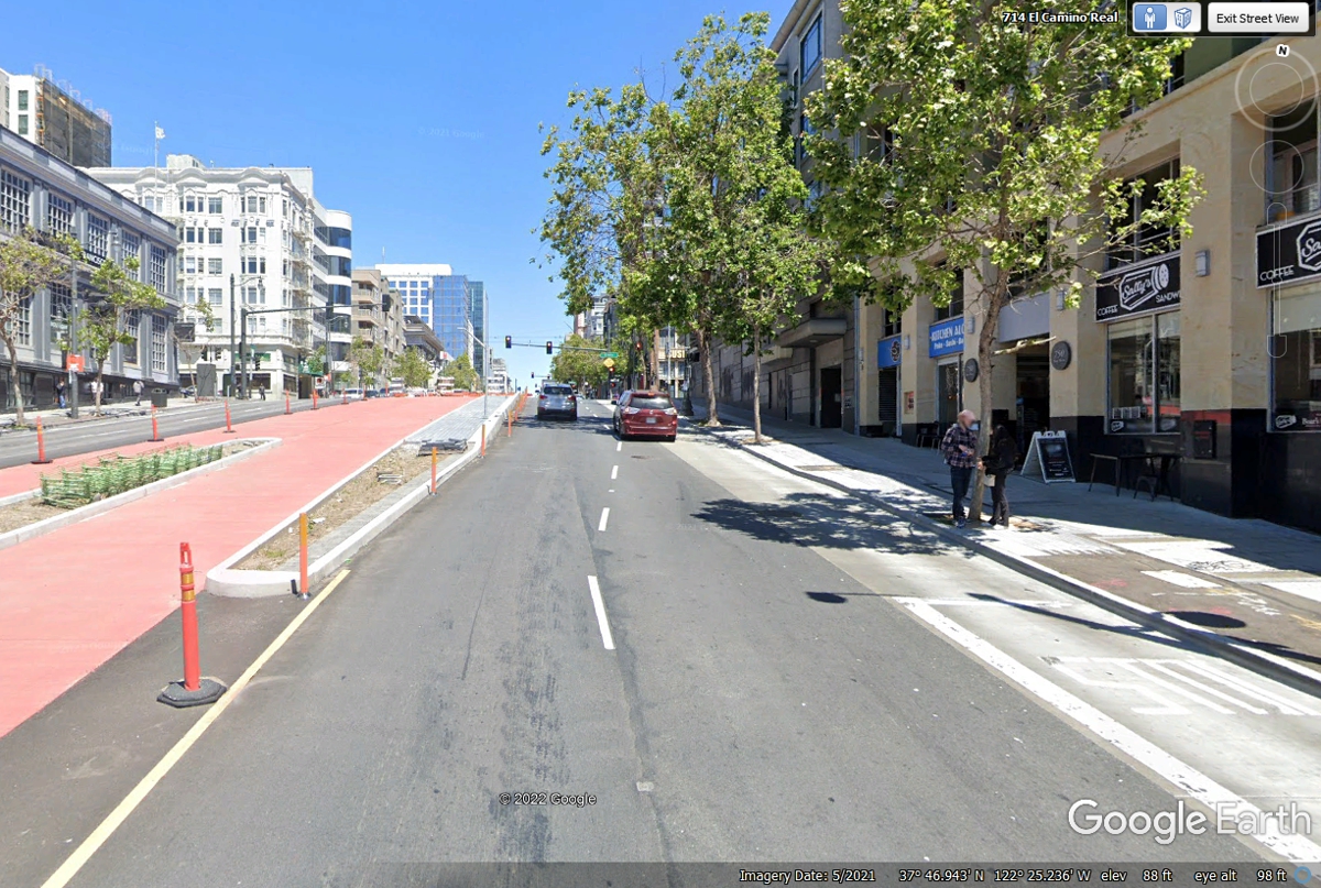
This image from May 2021 shows the current status of the street. We
actually drove up this street until we turned right on Lombard Street on June 3,
2022.
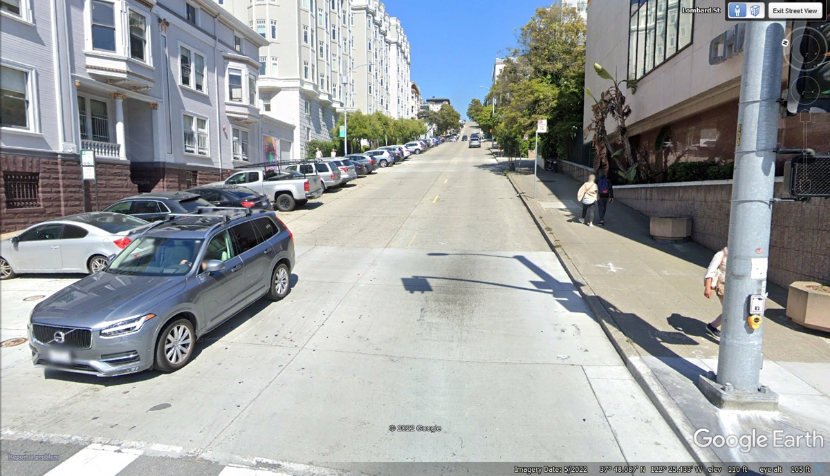
This view is from US 101, Van Ness Avenue looking EAST up Lombard Street at
a 27% grade going up this hill. All the cars parked on this street are
facing the curb so they cannon roll down the hill if a parking brake is not set.
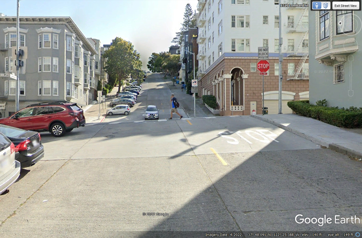
This is Lombard Street one block up the hill from Van Ness Avenue and US
101 at Polk Street. We continued up Lombard Street all the way to Coit
Tower on June 3, 2022.
The second intersection up the hill on Lombard Street is Larkin
Street. 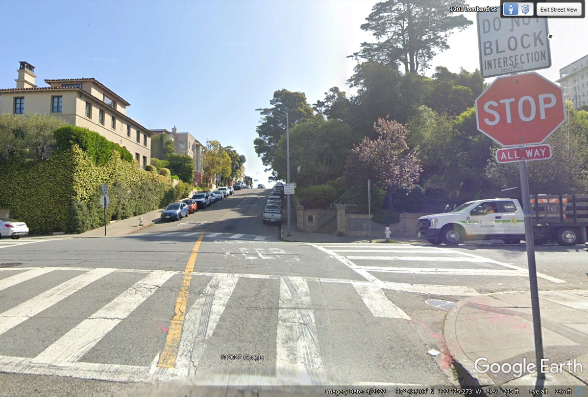
When we reached this high point on our route, the intersection was full
of people. I had to blow the horn to get them to let us through to
continue across Hyde Street with its cable car tracks.
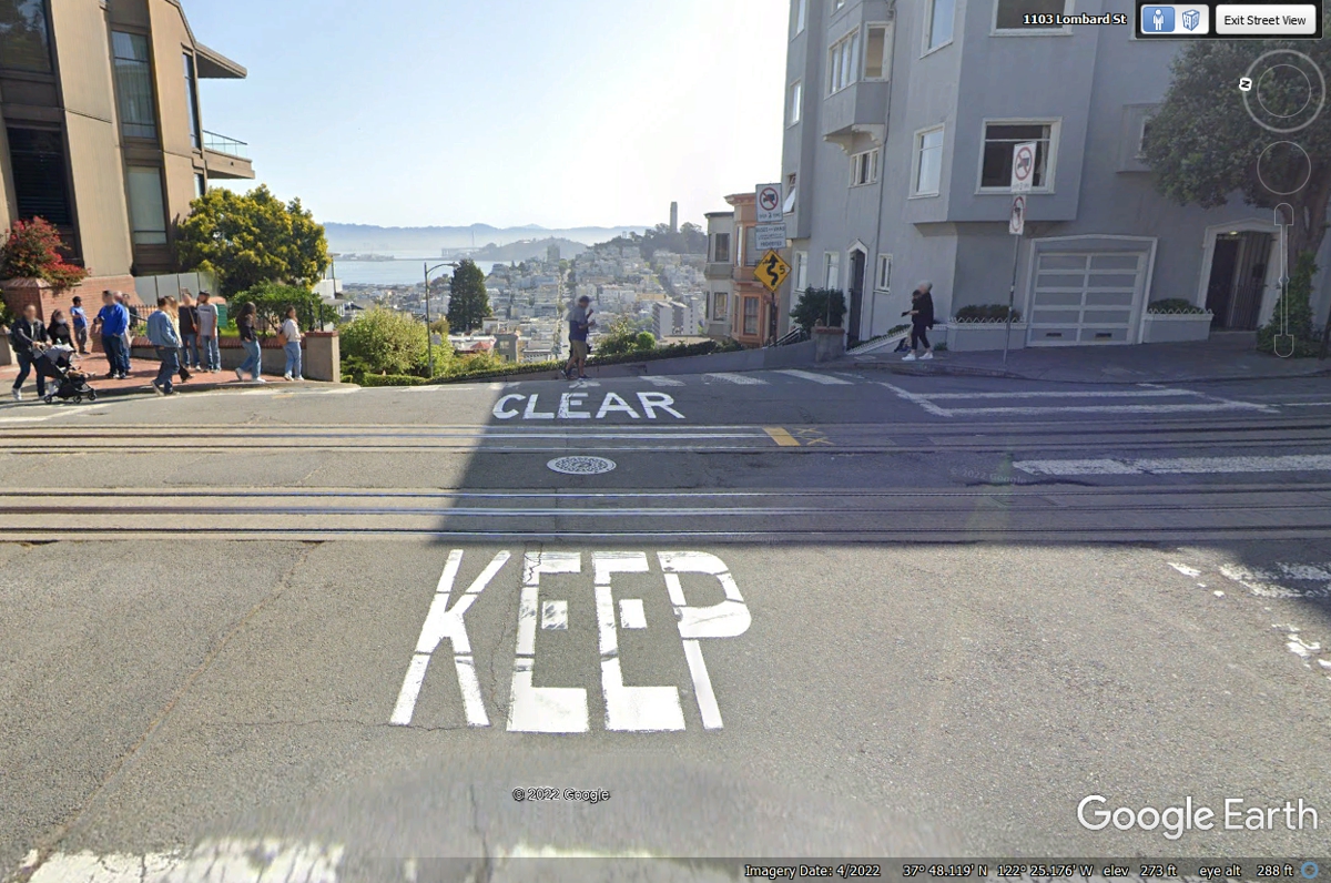
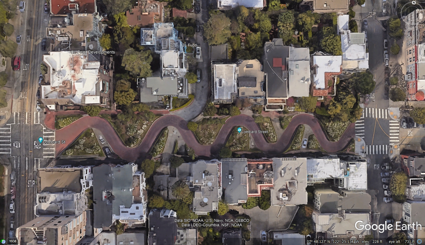
This is the famous part of Lombard Street where the flower gardens
bloom. This image begins at the top of the hill and shows the bottom of
the hill where Lombard Street continues East toward Coit Tower and San Francisco Bay.
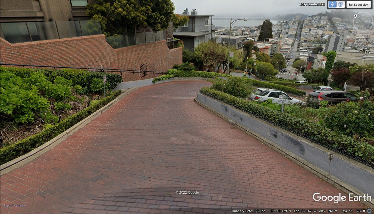
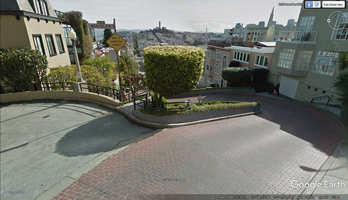
There is a side street named MONTCLAIR STREET going LEFT from this point
on Lombard Street that is not a through street. There area several homes
down that side street. The other thing seen here is how the homes have
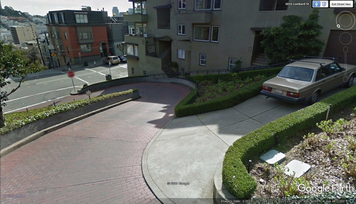
underground garages accessed from the end of each curve.
This aerial view shows how the garage connections are placed. There
are also pedestrian walkways down both sides of Lombard Street. All the
remaining space is planted with shrubs as seen in the two images above and down
below on this page.
This Google Earth Image from 2011 drew bystanders attention to the camera
vehicle with the post topped by the ball with multiple cameras 10 feet above
ground level.
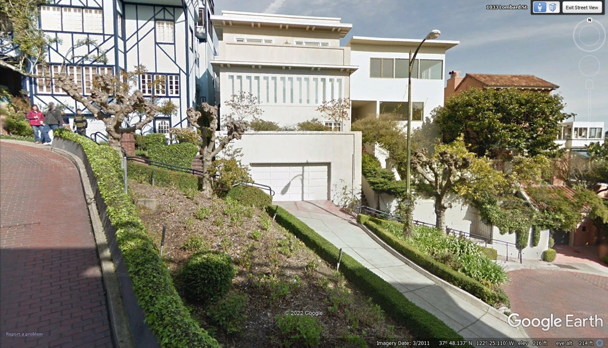
This image below looking down the hill was taken from the same location as the image above.

This image was taken from the curve in the road seen in the image
above. The Volvo parked in the driveway in this image is also seen in the
image above.
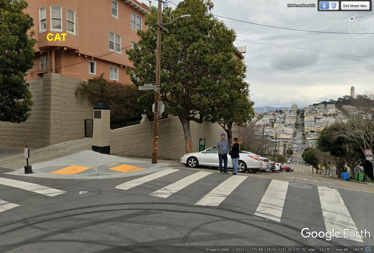
A number of years ago when I used a 35 mm film camera, I stopped at the
bottom the "S" curves of Lombard Street to take a telephoto image of a
black cat sitting in an open bay window marked with the YELLOW CAT letters on
that building. I need to look through my old pictures to see if I could
paste it here. This image below also shows the end of Lombard Street where
there is access to Coit Tower. We went up there today, June 3, 2022.
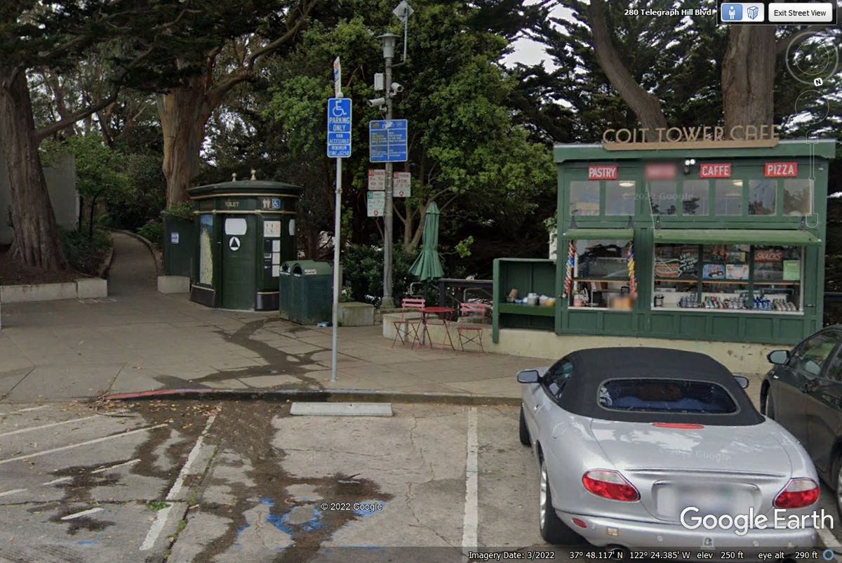
Coit tower is located near the EAST end of Lombard Street. Today was
the first time I had seen a self-cleaning rest room. I just checked Google
to learn there are 49 of these free rest rooms currently in operation in San
Francisco. I watched the information panel beside the door after it was
vacated by a patron. It indicated the door was locked during the
self-cleaning cycle. When that was complete, the information screen
indicated the unit was ready for use. You push the open door button and it
lets you inside. Linda tried it and said is was very clean to use.
The Google Earth image below was captured in March 2022.
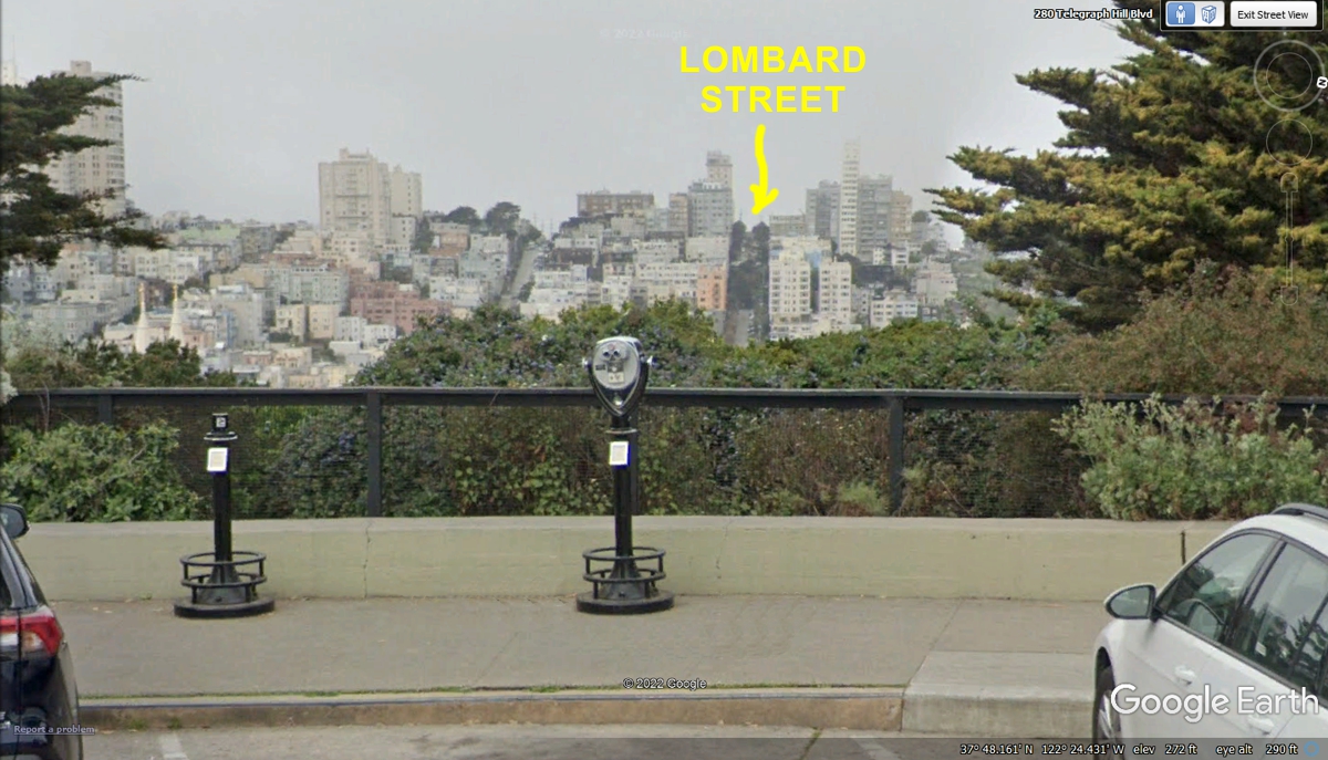
Here is the view from Coit Tower of the high point of Lombard Street where the S-Curves
are located among the flower beds.
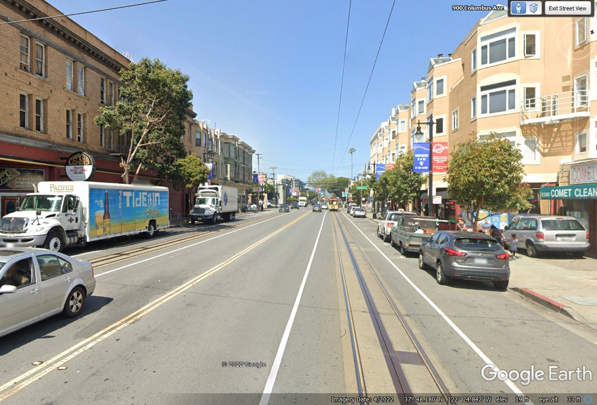
After seeing the view from Coit Tower, we headed back down Lombard Street
to make the turn onto Columbus Avenue. We were going to see the end of the
cable car line where they turn them around to climb the hills again. The
two overhead wires are for electric busses that also use this route. The
slot in the street centered between the rails has a cable under the street that
is gripped by an arm from the bottom of the cable car to pull the cable car
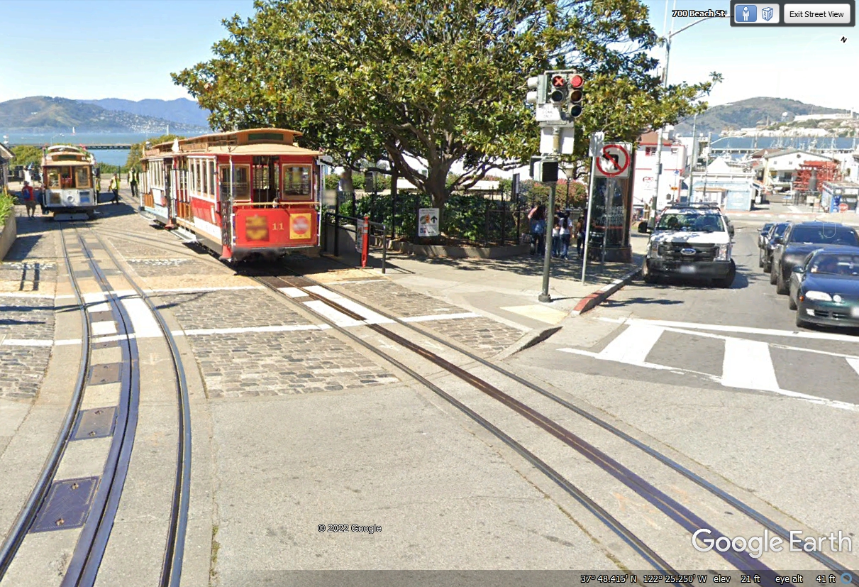
along each street where the cable cars operate.
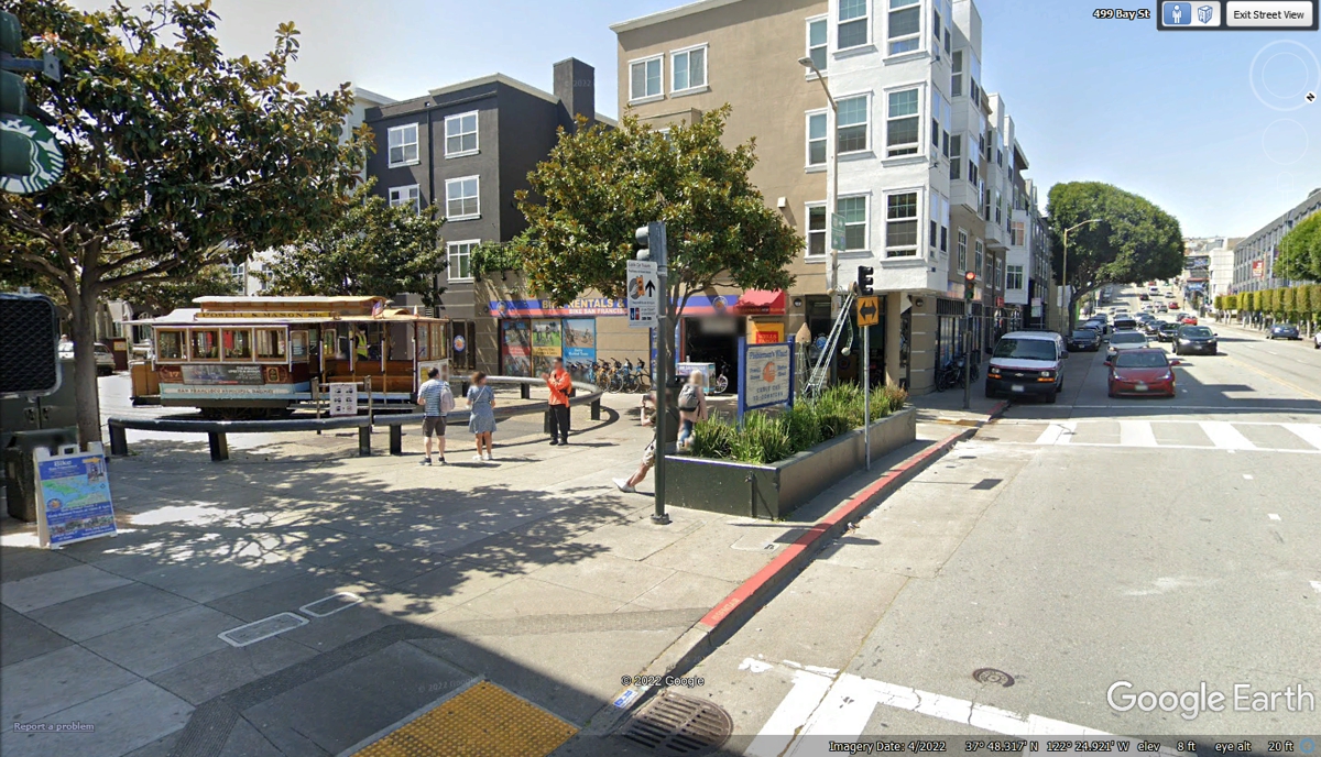
This is the view of the Taylor Street cable car turntable
seen from Bay
Street. This allows the cable car to go in the opposite direction as this
is the end of the cable car line on Taylor Street. The turntable allows
cable cars to reverse their direction in a smaller space.
The Fisherman's Wharf cable car turn around is not far from the one that
ends on Taylor Street. Since there is more space available here, parallel
switch tracks are used here to reverse direction at the end of the line.
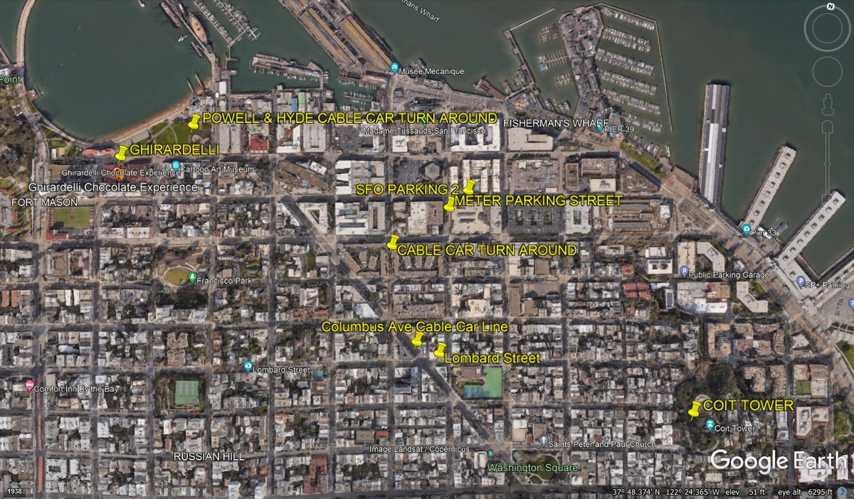
San Francisco is the home town for Ghirardelli Chocolate Company.
They occupy one block of Beach Street all the way up to the CVS Drug Store seen
near the left edge of this Google Earth image captured in March 2022.

This Google Earth aerial view shows the North Shore tourist areas all the
way to Coit Tower at the right side of the image.
Linda took Chase out to the water to see his reaction to it with no luck
on his bladder break.
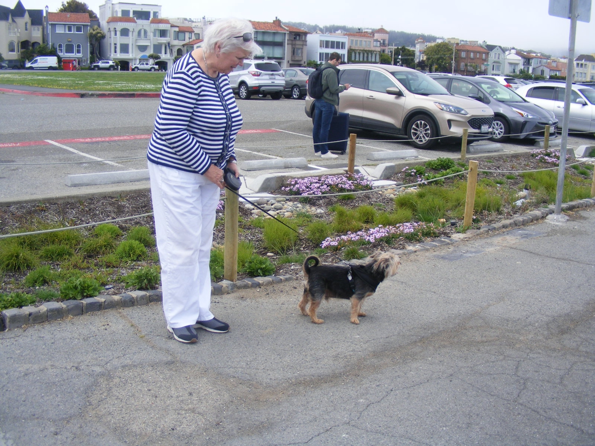
We had parked near the trash can to let Chase get bladder relief.
When he came back to the field of Grass, he got full relief. While we were
over on that side of the parking lot, a man about 50 yards away had a dog that
saw Chase and came running without a leash. Both dogs were cordial.
After the doggie greeting and smelling of scents, the other dog ran back to his
master immediately when called. Chase was limited to his 20-foot
leash. We got back in Linda's car and continued toward the Golden Gate Bridge.
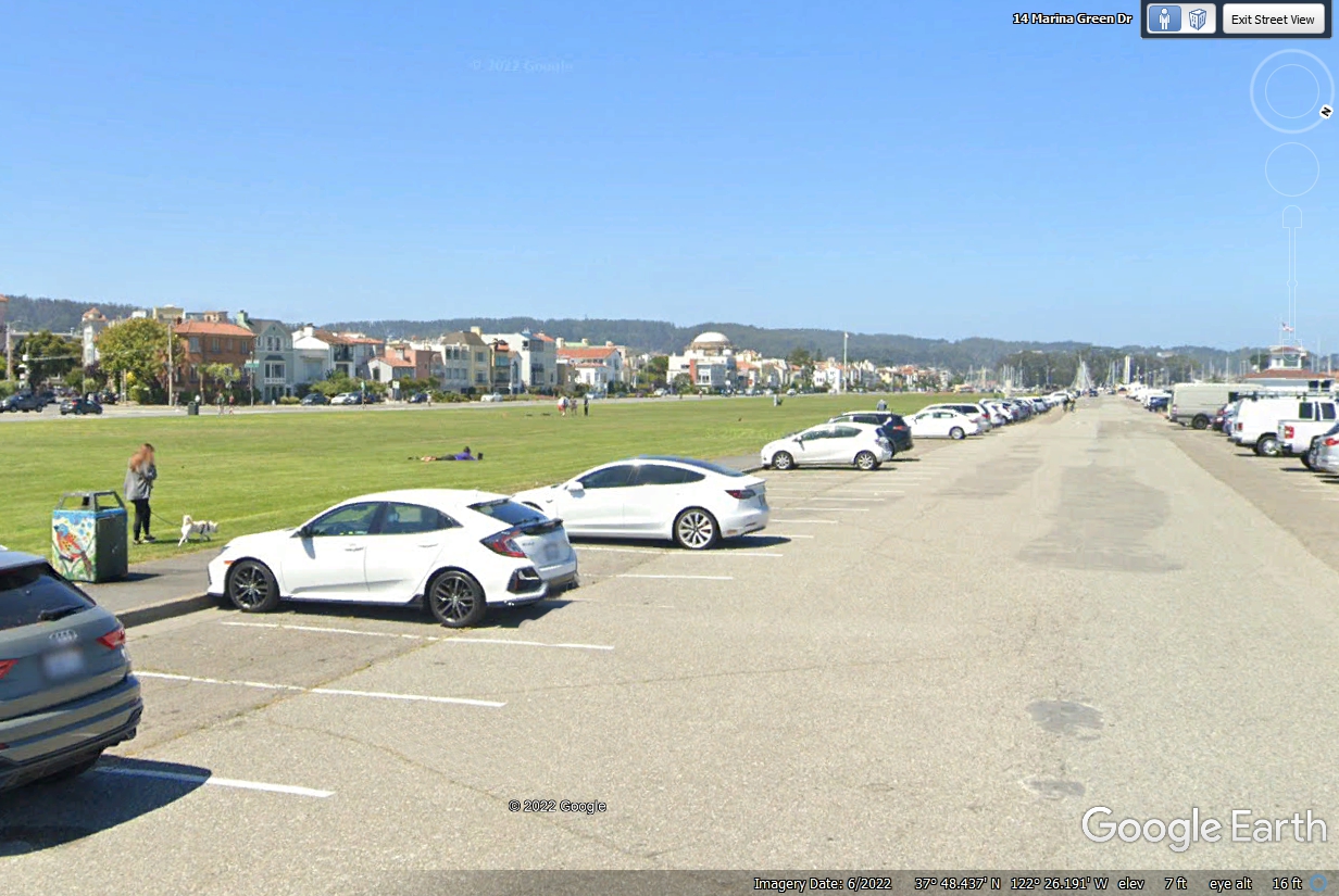
This area is known as "The Marina Green" which was an air strip from
1920 to 1944 known as Montgomery Airfield.
I took this picture of Alcatraz Island with Google Earth and my digital
camera with 10-power magnification. My camera image was not as crisp and
clear, but it was probably the difference in the morning fog when we were here.
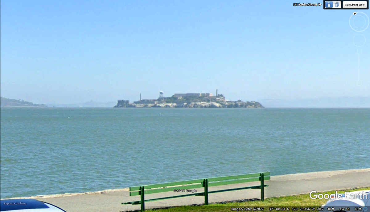
Google Earth had the advantage of waiting for no FOG to get this
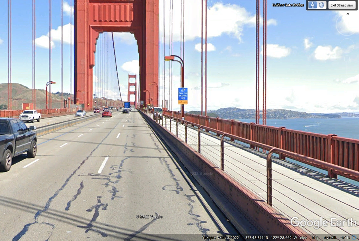
image. We came too early in the day and we could not see the towers and
support cables of the bridge when we drove across the bridge going from left to
right in this image to the north end of the bridge in Marin County.
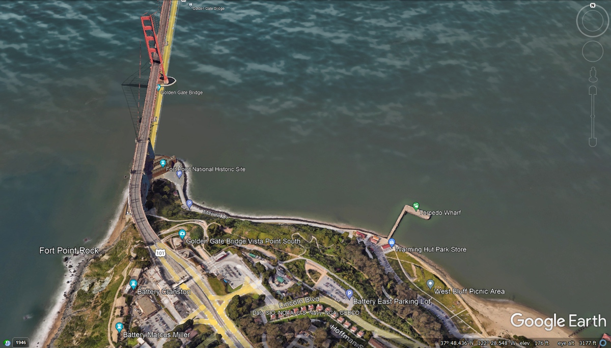
This Google Earth aerial view of the Golden Gate Bridge
shows the approach to the bridge at the south end. There are many walking
and bike paths in this area. The Torpedo Wharf dates from the 1890's when
underwater mines were loaded and placed off shore. My initial thoughts
about this wharf were related to World War II, but this was here much earlier,
probably related to the Spanish American war.
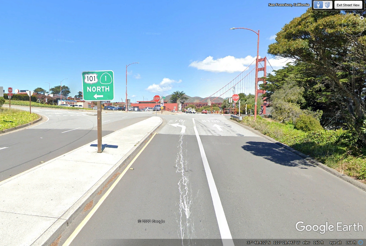
We took the short cut to the top of the hill and turned left here to get to the
intersection of US 101 and California Route 1 at the northbound entrance to the
bridge.
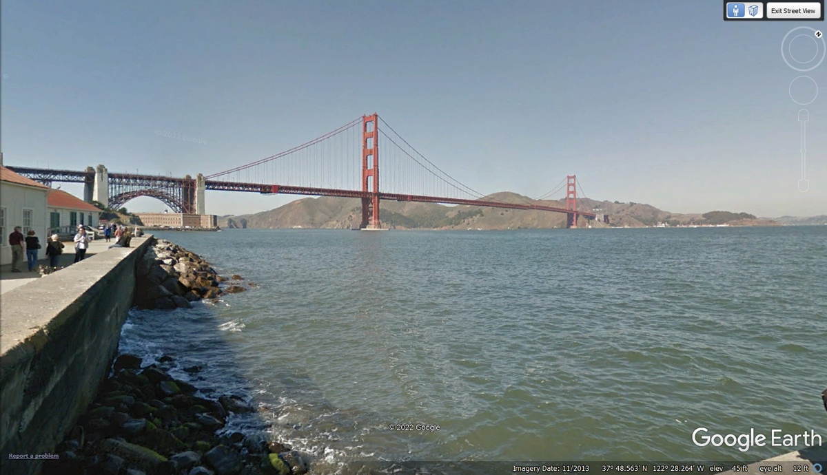
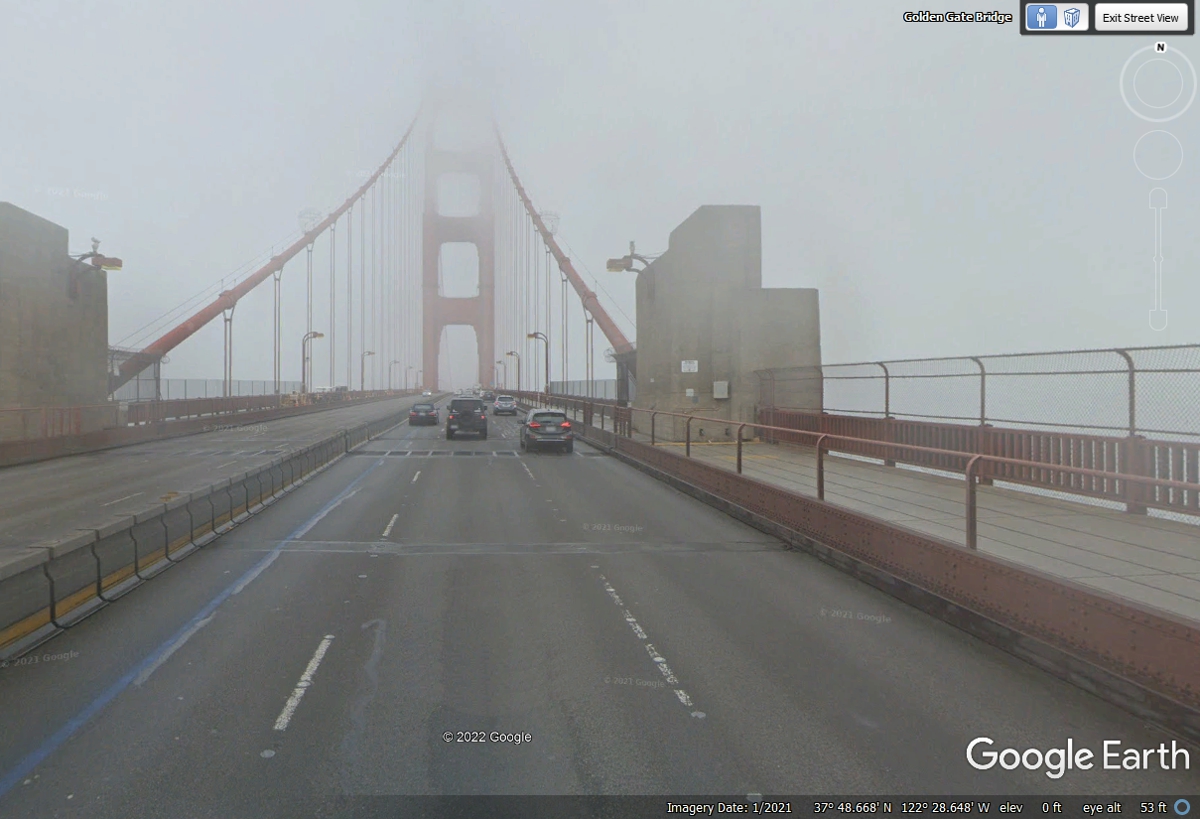
I cropped the image below to indicate how the FOG had cut off the view of the towers as we approached them.
This image shows how the fog can obscure the towers that support the
bridge. When we passed this way, only the bottom opening in the tower was visible.
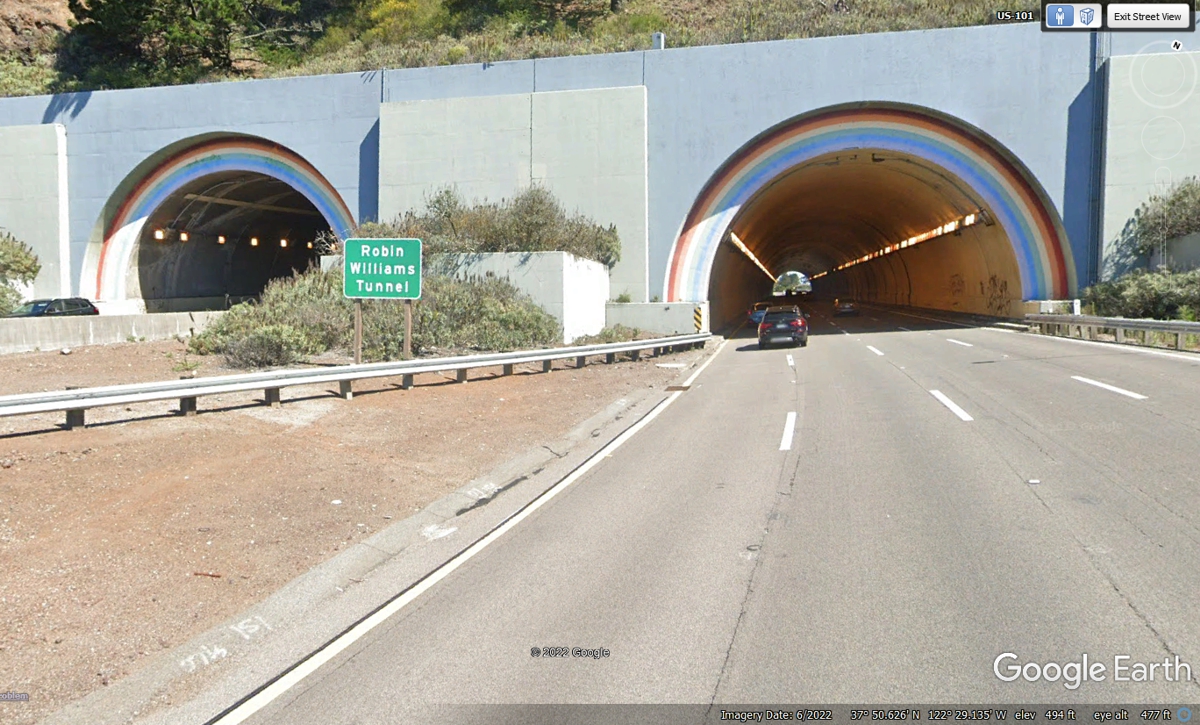
I never paid much attention to these tunnels a few miles north of the
Golden Gate Bridge. The name for the tunnel got my attention. Here
is some data from Google: Sausalito,
California, U.S. A tunnel officially known as the Robin Williams Tunnel
(previously and informally referred to as the Waldo Tunnel) is located at the
highest elevation on US 101/SR 1 along the Waldo Grade. The first bore of
the tunnel was completed in 1937 and the second in 1954.
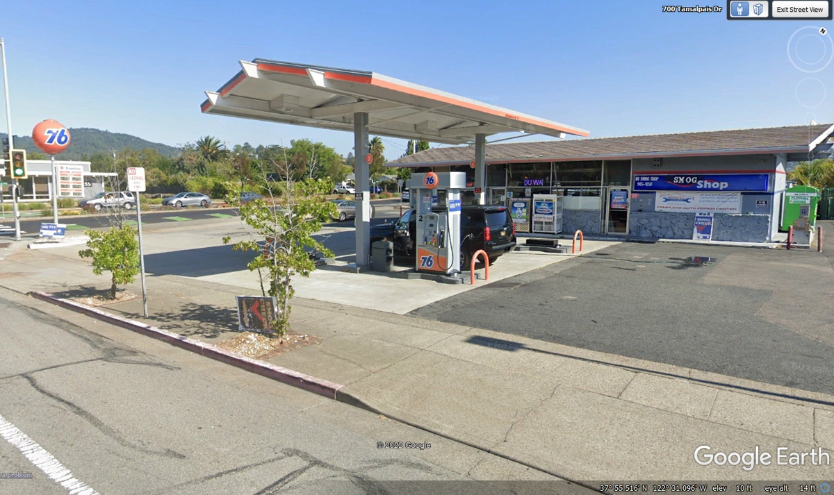
I had picked this Union 76 gas station before we started our
trip using the web site GAS BUDDY. I
was looking for a place north of San Francisco with a "reasonable"
price per gallon of gas. The fuel I purchased here will take us up to
Oregon where the prices are much better than California prices. It was
12:21 PM when we left here to get back on US 101 North.
| NORTH FROM SAN FRANCISCO - PAGE 33 | RETURN TO WESTERN TOUR INDEX PAGE |