June 2022 Vacation Day 12, North From San Francisco · · PAGE 33.
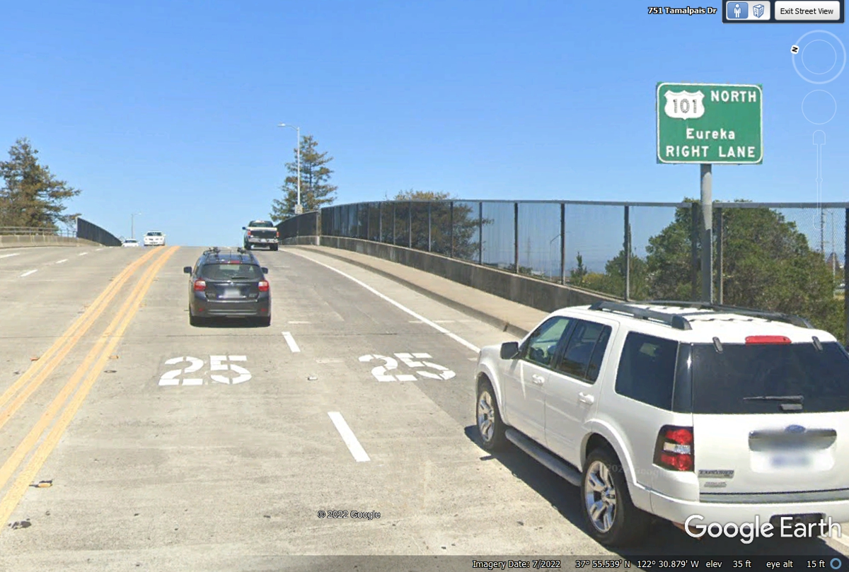
June 3, 2022: This is the overpass
above US 101 just about 1 block from our Union 76 fuel stop.
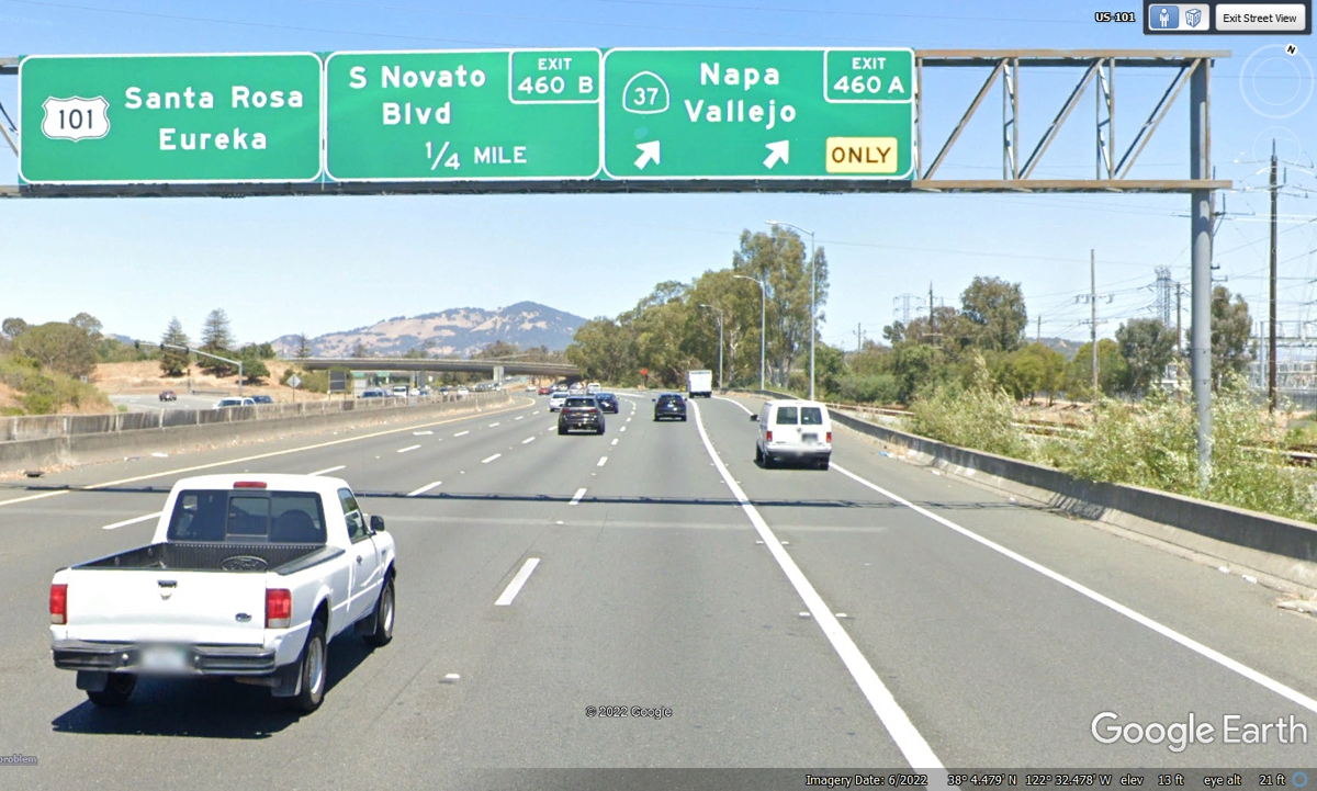
Not many miles north on US 101, the GPS is steering us via California
route 37 around the north end of San Francisco bay toward Interstate 5 then up
to Redding, California where we have our next motel reserved for tonight.
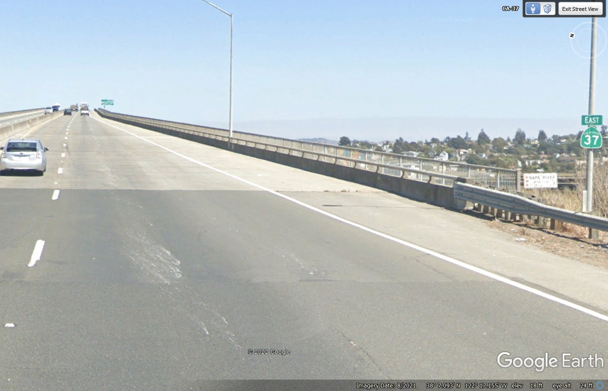
The town of Vallejo is on the other side of this bridge over the Napa
River.
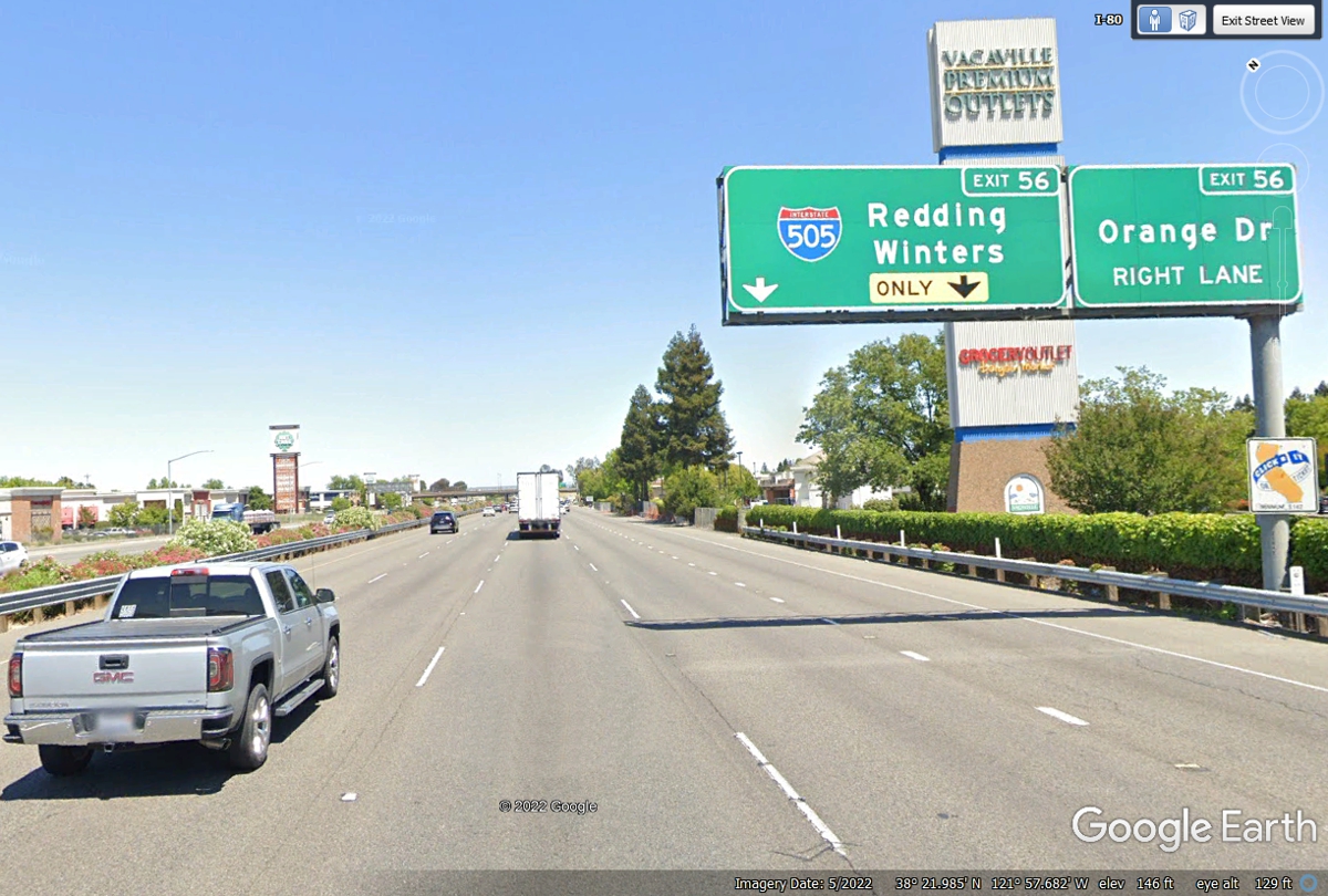
The GPS points to I-80 North toward Sacramento from this location.
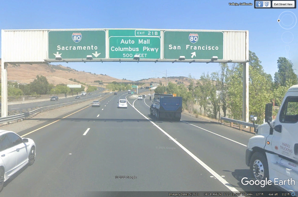
I-505 north begins here as our next route. I-80 goes EAST toward Sacramento and points
East all the way to New York City.
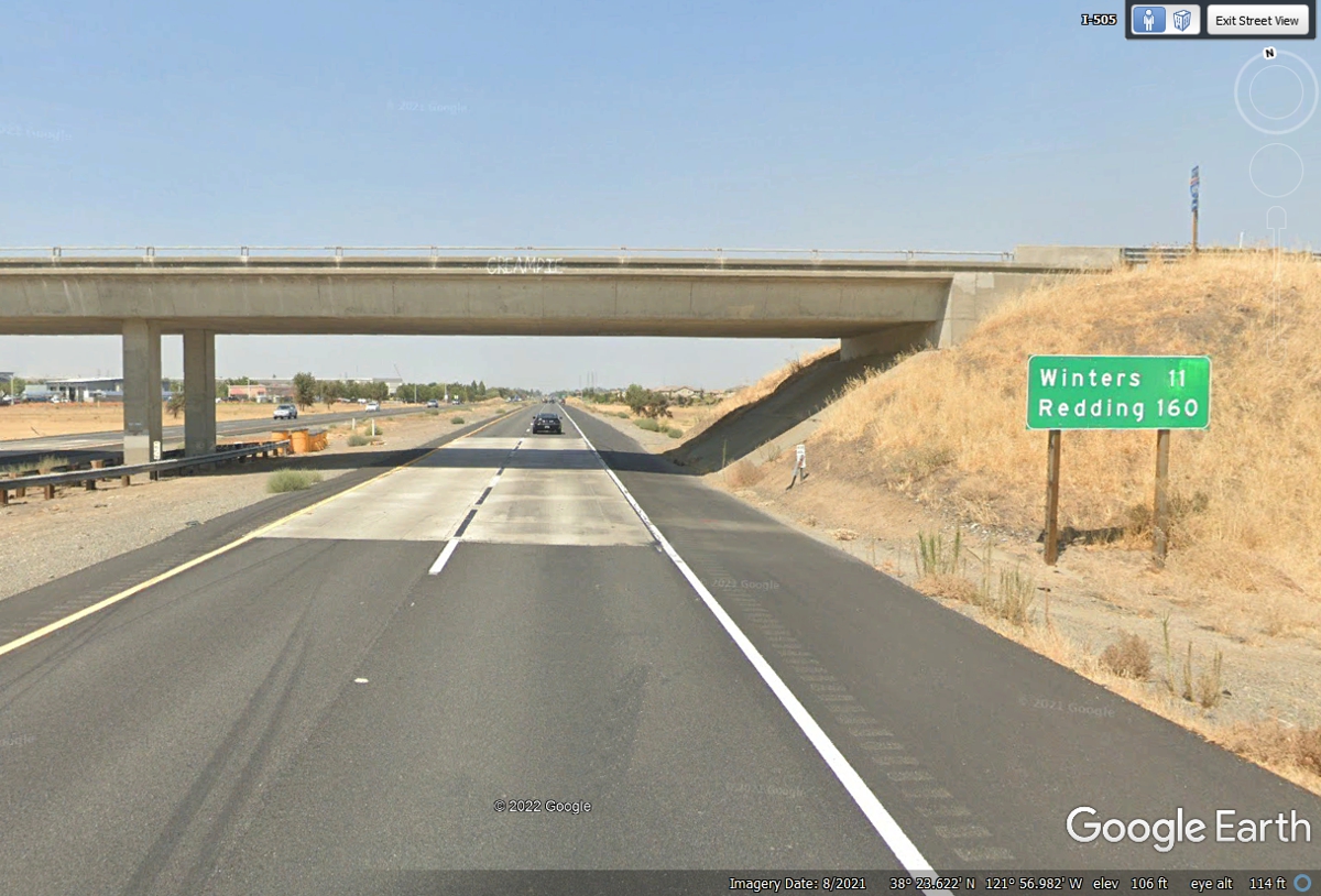
Redding is about two hours north from here for the 160 miles shown on this
sign.
I noticed some irrigation canals beside I-505. The canal on the
right side of this image has a WHITE concrete culvert that runs under the
freeway from the East side to the west side.
Here is the last of I-505 as it crosses over I-5 in the central valley of
California.
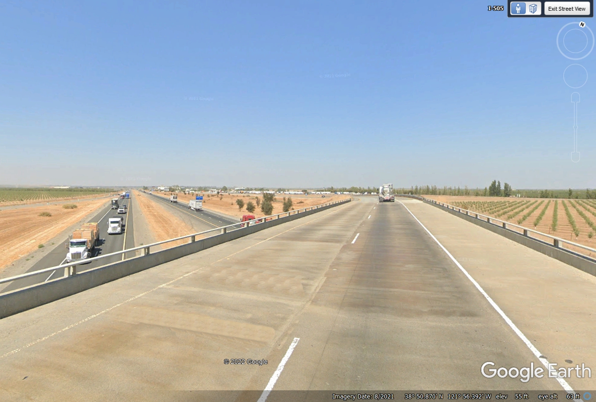
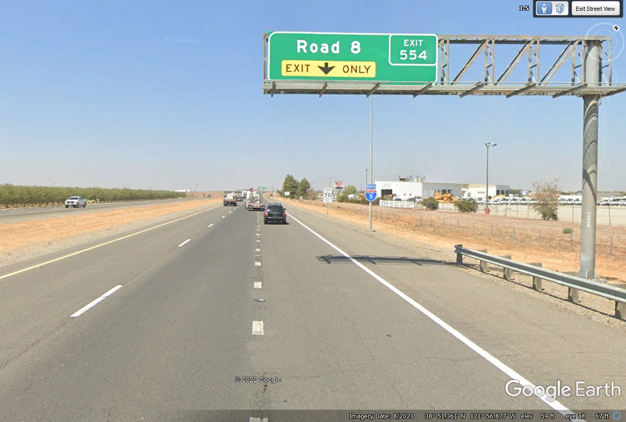
We have joined with Interstate 5 here at exit 554 measured with mile ZERO
at the California Border with Mexico.
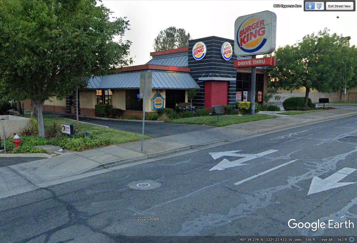
We had a late take out meal from this Burger King on Cypress Drive in
Redding, California at 8:29 PM with a charge to AMEX of $9.20.
June 2022 Vacation Day
13, North From
Redding, California to Oregon
June 4, 2022: This is the day we head North to Oregon. We still have plenty of gas to get up to our fuel
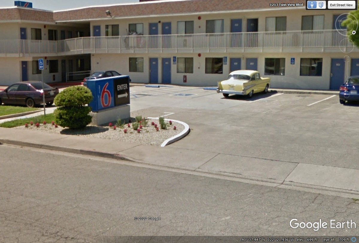
stop up in the town of Klamath Falls, Oregon. That 1957 Chevy at the motel
looks really
good!
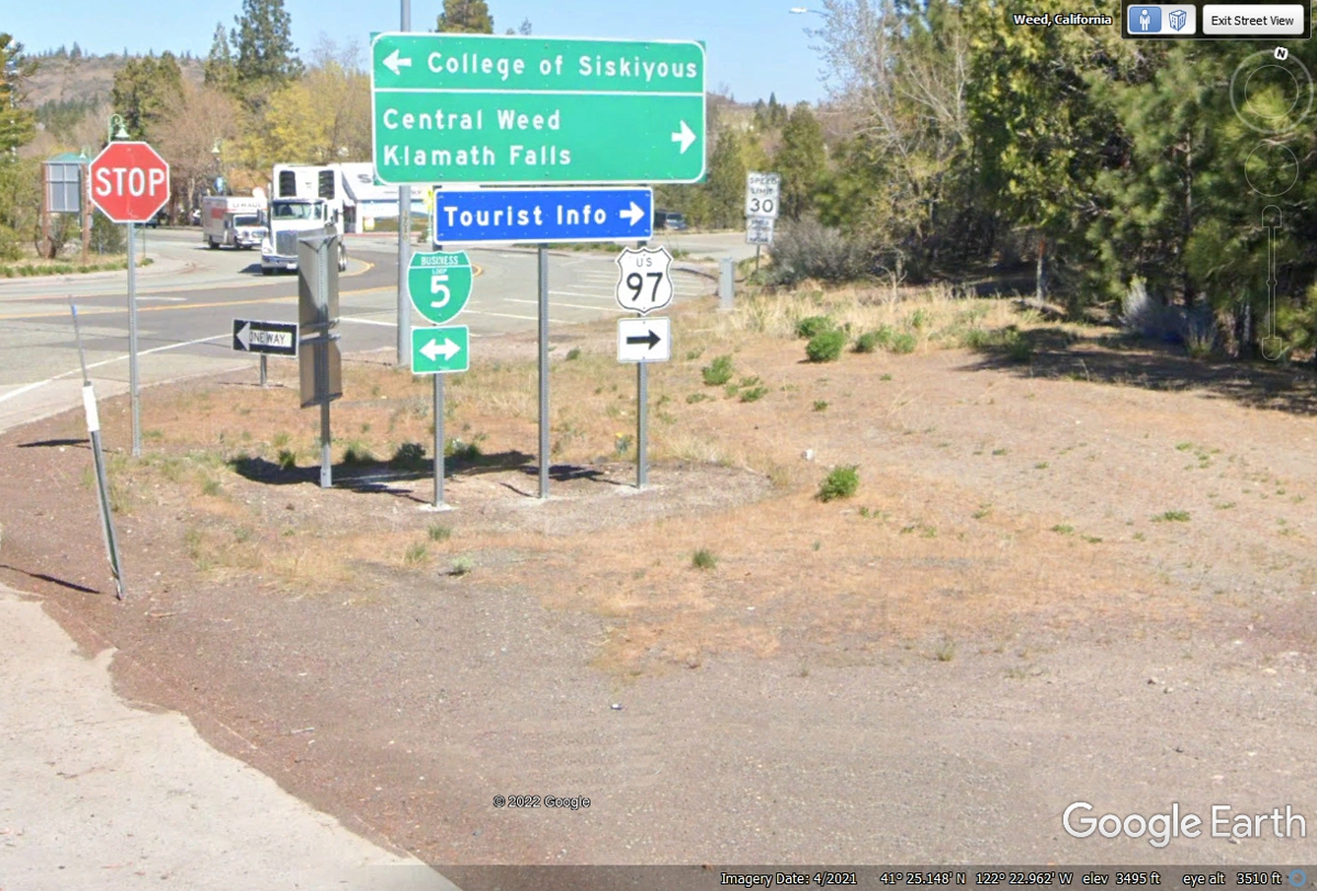
We start the morning with a 65-mile ride up to I-5 Exit 746 at a place
named Weed, California where we will take US 97 north into Oregon. We are
at Exit 681 as we get on the freeway.
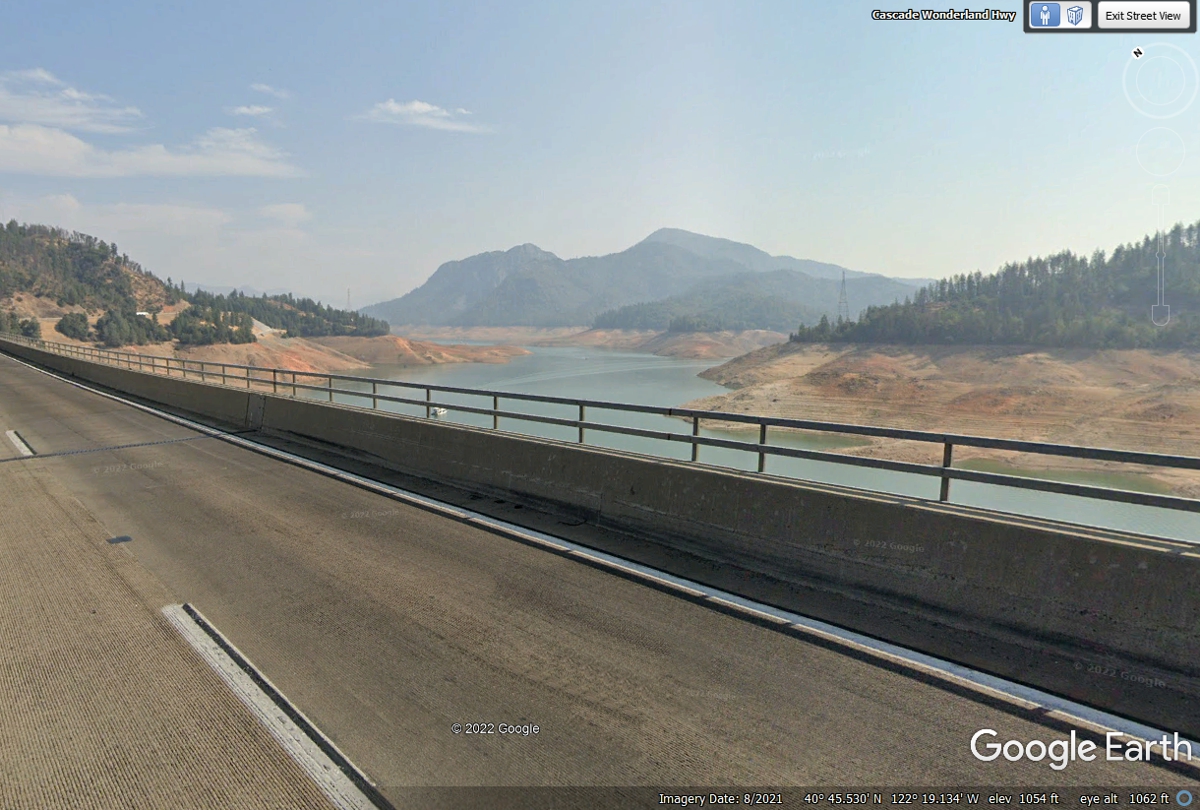
This Google Earth image from August 2021 shows the effects of the drought
as seen by the low water level at Shasta Lake.
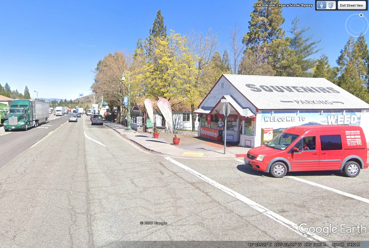
We got off I-5 at the town of WEED. US 97 is our route going
up into Oregon this morning. Use this Wikipedia
article to learn about the founding and naming of the town.
This part of the town on US 97 is the northbound route we are taking
today.
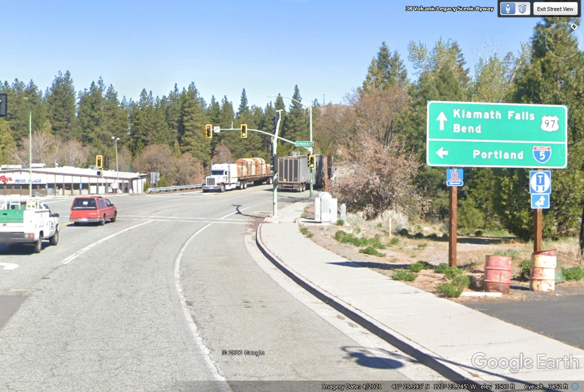
We are going to Klamath Falls to get fuel because it is also going toward
Crater Lake National Park. I have a veteran annual pass for all the
National Parks.
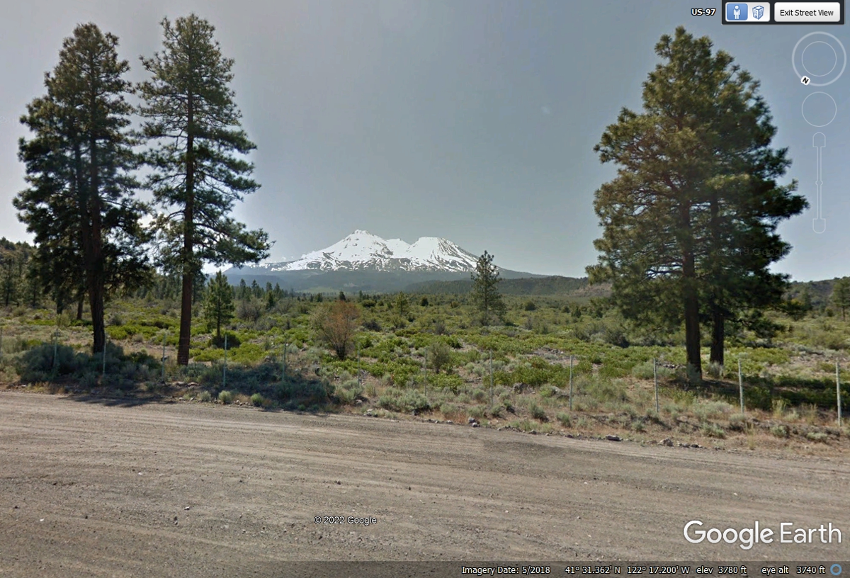
Mount Shasta is the second tallest volcano in the Pacific Northwest.
This Google Earth image was taken in the month of May 2018.
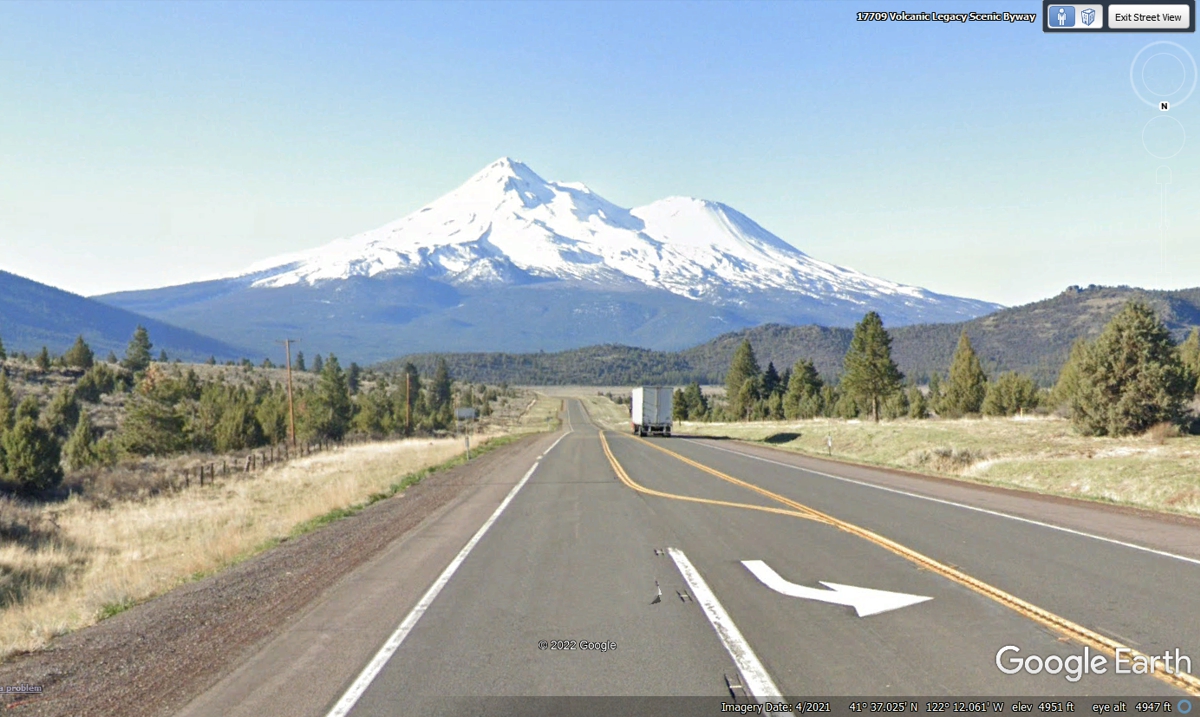
This Google Earth image from US 97 looking south makes me feel like that
guy who took the picture for Paramount Pictures company logo. The
elevation here is 4,951 feet.
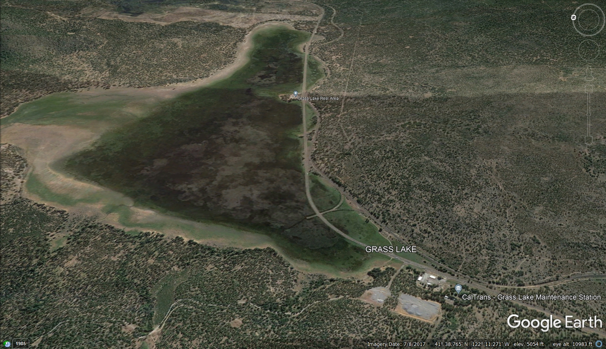
Just a few miles north of the Mount Shasta view point is this unusual lake
known as GRASS LAKE. This aerial Google Earth Image from August 2017 shows
it with water across most of its expanse.
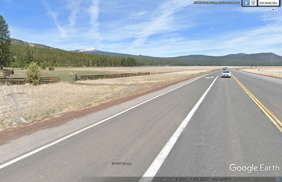
This image from April 2021 shows a very small amount of water in an area
where US 97 northbound traffic begins crossing the lake. When there is no
rain, this really is a Lake of Grass.
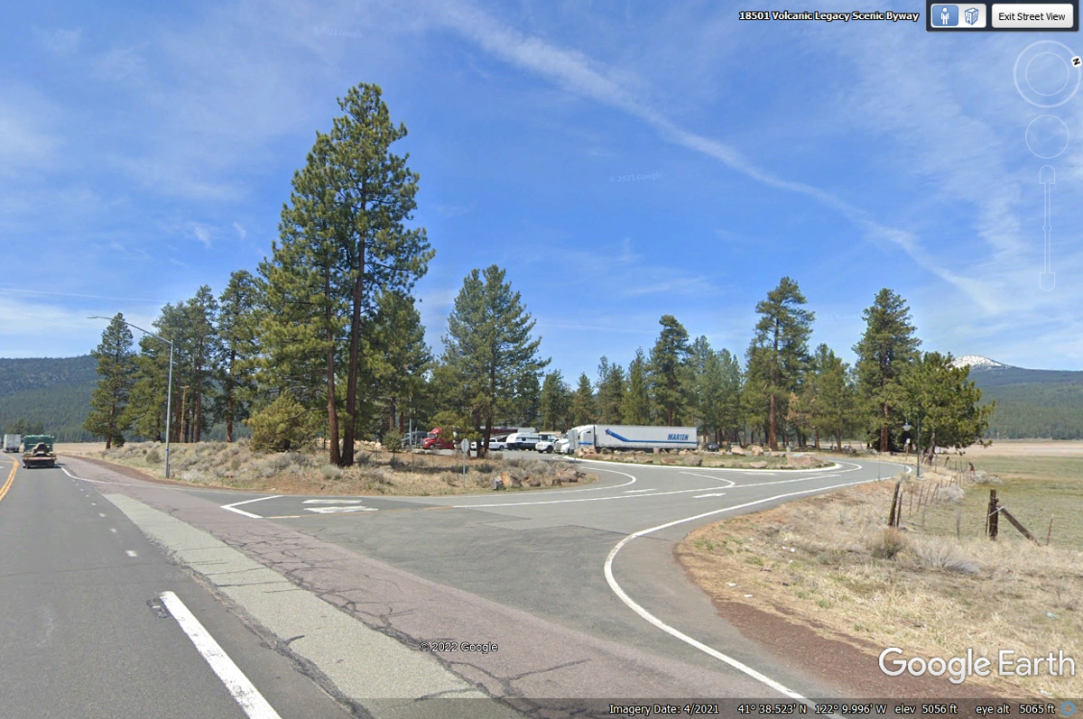
This image from April 2021 shows the rest area near the center of the lake
open for business. The rest area was closed when we drove past here on
June 4, 2022 with barricades at the entrance from the highway. The
elevation here is 5,056 feet.
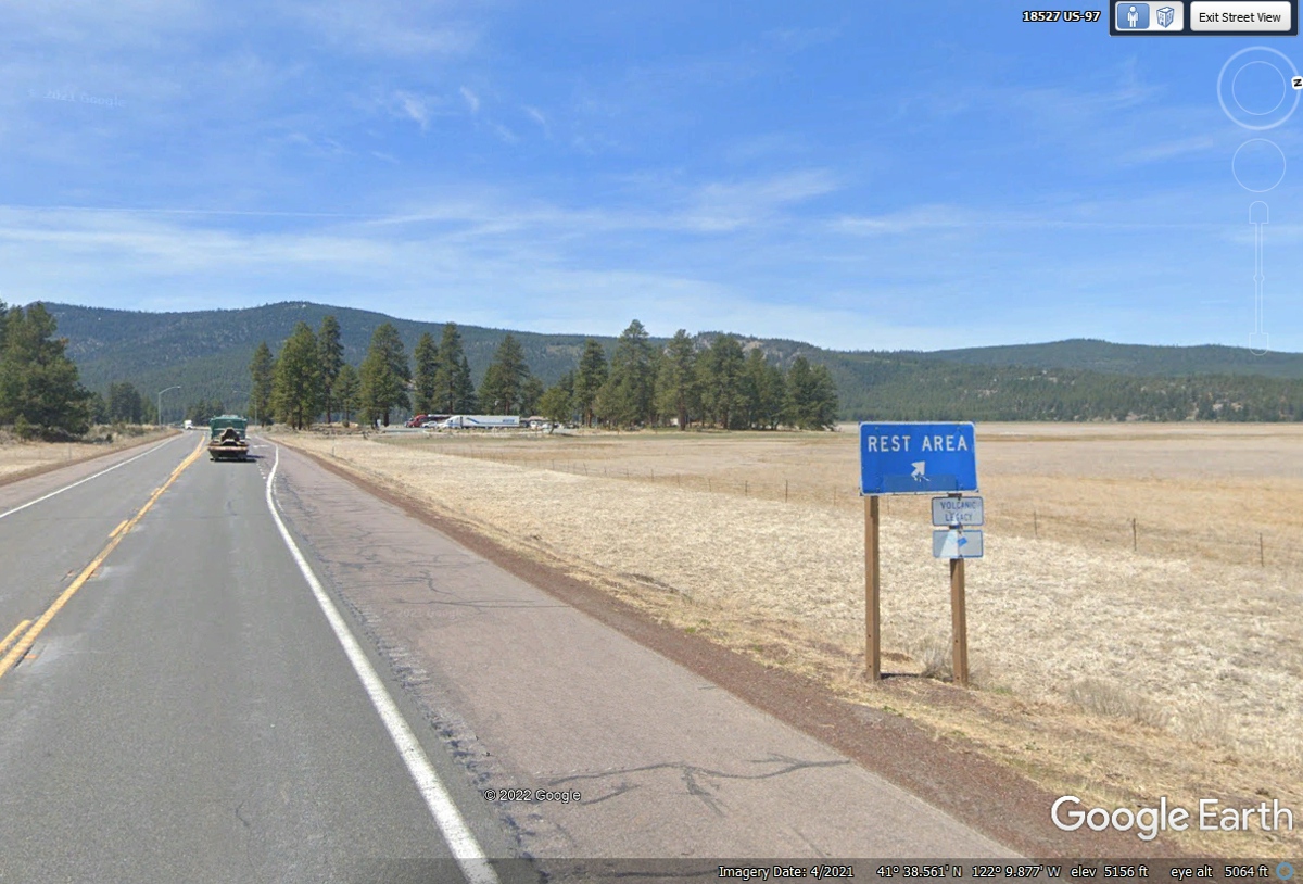
Southbound traffic sees the normal rest area sign (unless it is closed by CAL DOT).
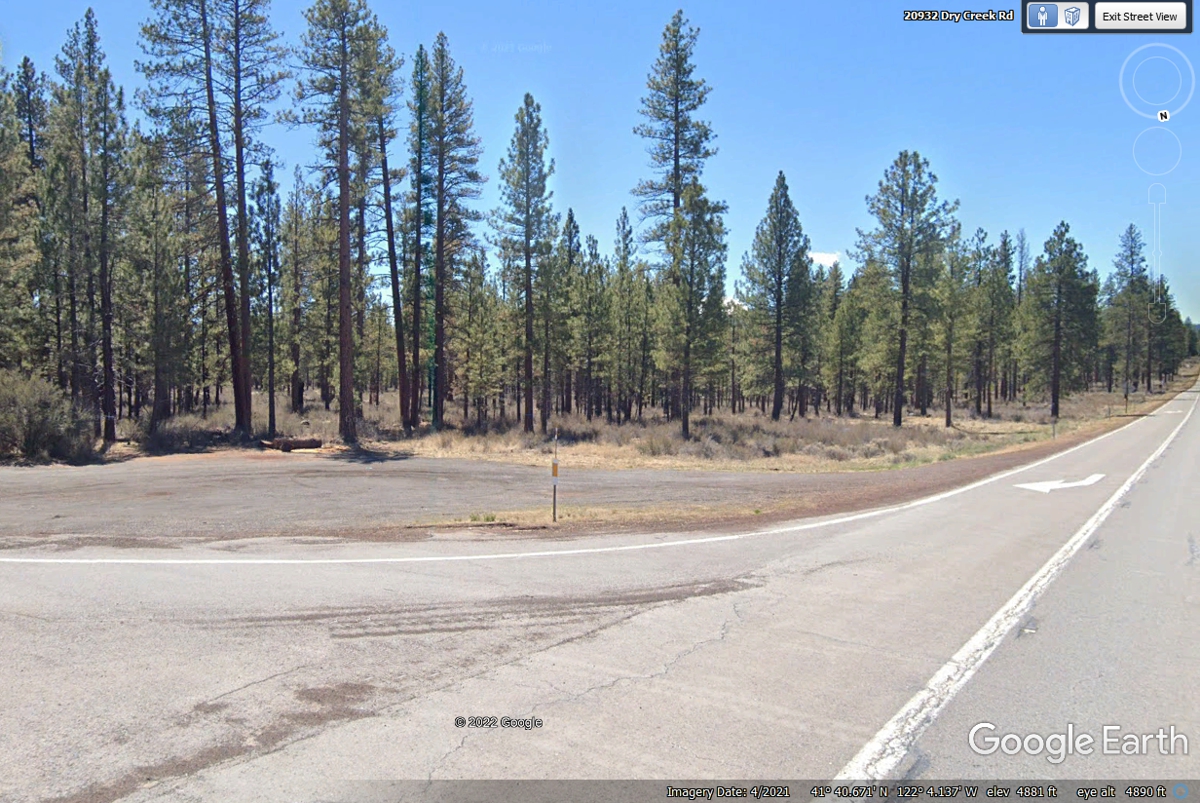
Chase had been moaning to take a pit stop. I found an intersection
of US 97 seen coming from the right side of this Google Earth image
below. The other road is off the left side of the image with the arrow
pointing to it from the right lane from US 97. As you can see, there is
plenty of space to park the car off both roads. And of course, there is
grass and trees there for the dog Chase to smell any previous canines and to get
relief. The elevation here is 4,881 feet.
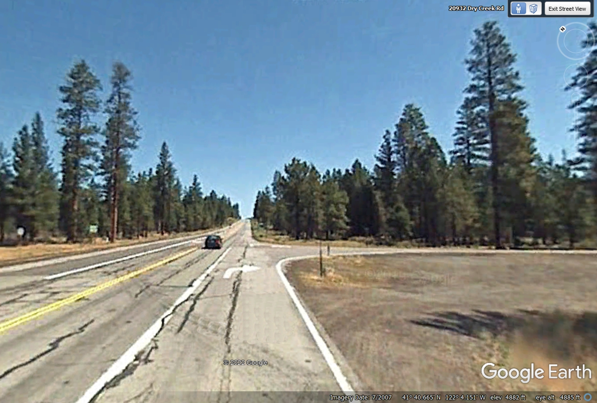
We continued on US 97 going northeast as confirmed by the Google Earth
Compass in the upper right corner of the image below. The road ahead is
mostly forest. The elevation here is 4,882 feet above sea level.
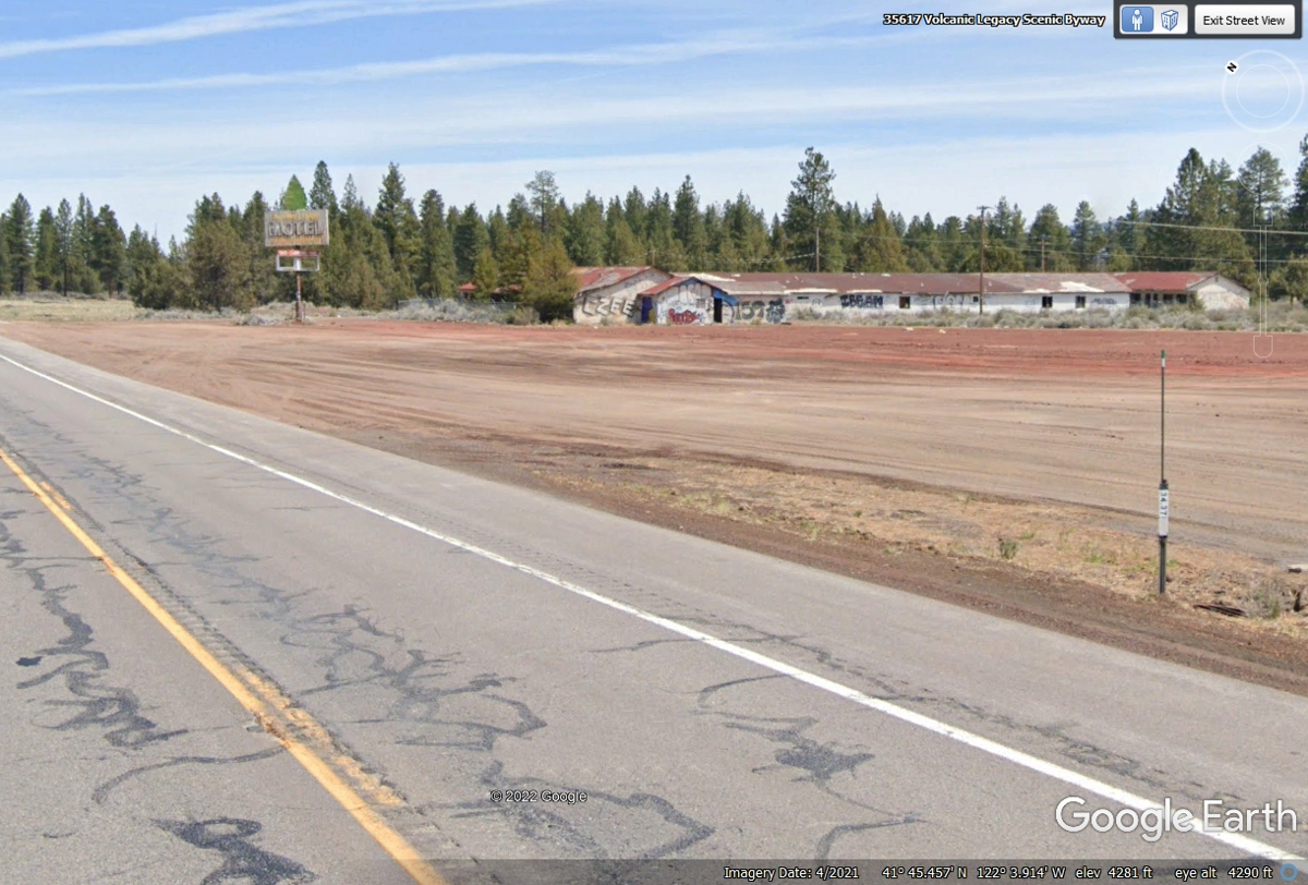
We have reached some flat land used for farming. The elevation here
is 4,281 feet. The old motel seen below is abandoned and covered with graffiti.
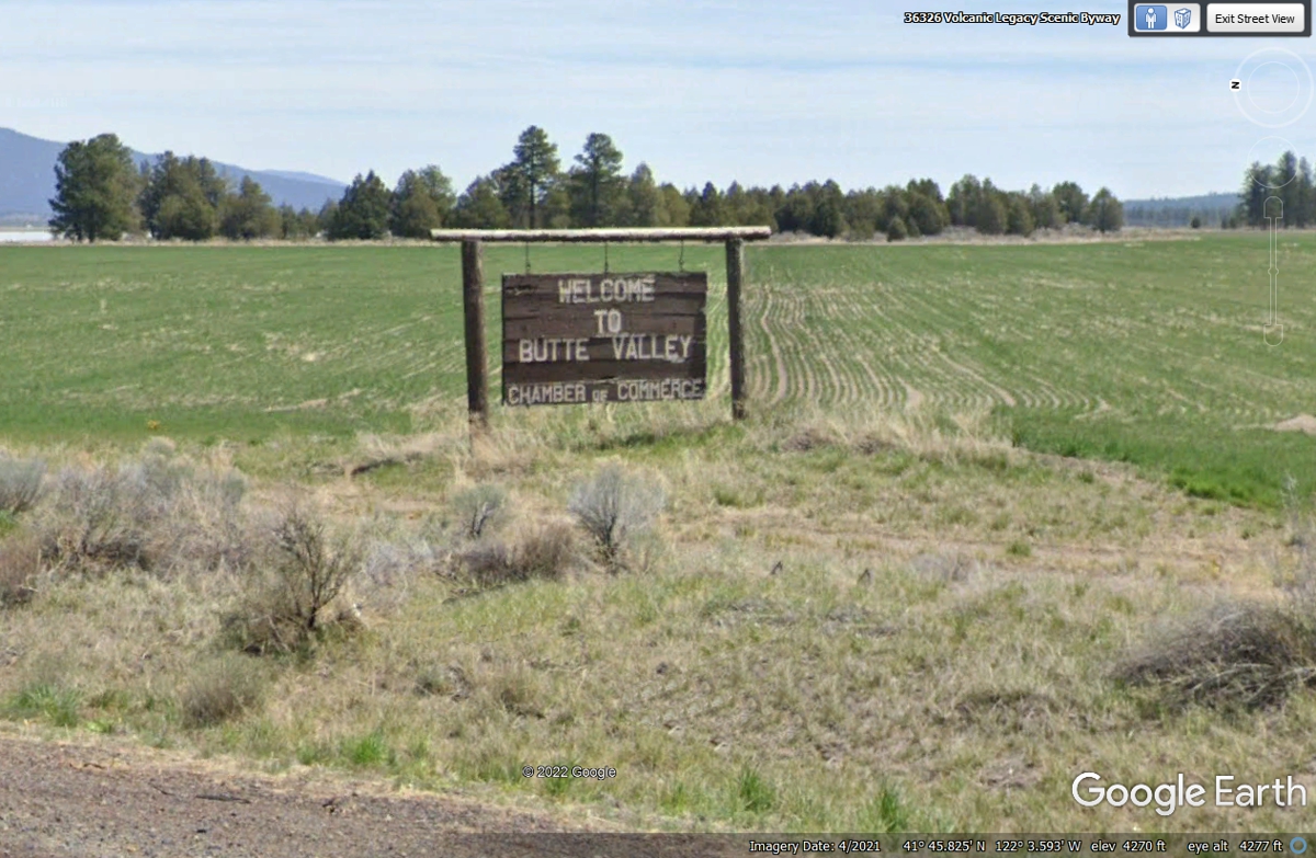
The sign says it all for the local residents in this valley.
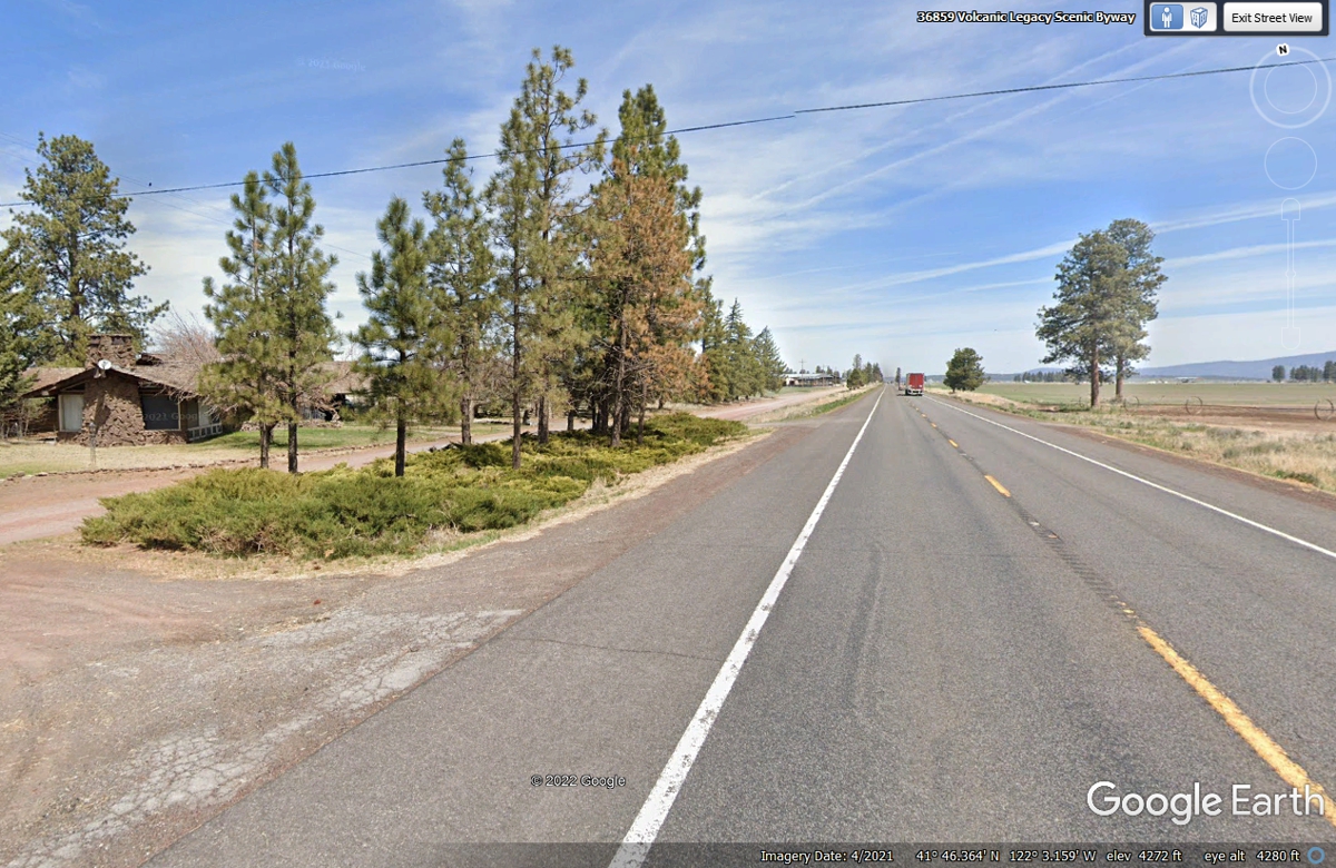
There are a few farm house residences less than 1.3 miles from the
beginning of the flat terrain for agriculture usage.
I noticed a California Agricultural Inspection Station for southbound
traffic just like the one we passed down on US 50 before we crossed the Sierra
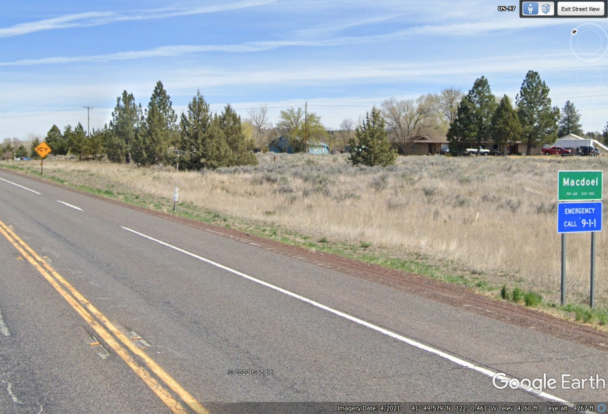
Mountains into the central valley. It is located north of Macdoel before
coming to the next town.
That next town is named Dorris and got its name when the Southern Pacific
Railroad was first built through this area.
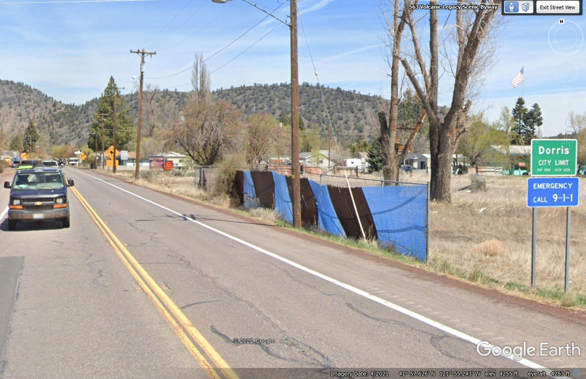
This is the FIRST right turn for US 97 in the town of Dorris after the
straight line route of US 97 since it came down to the Butte Valley after the
mountains.
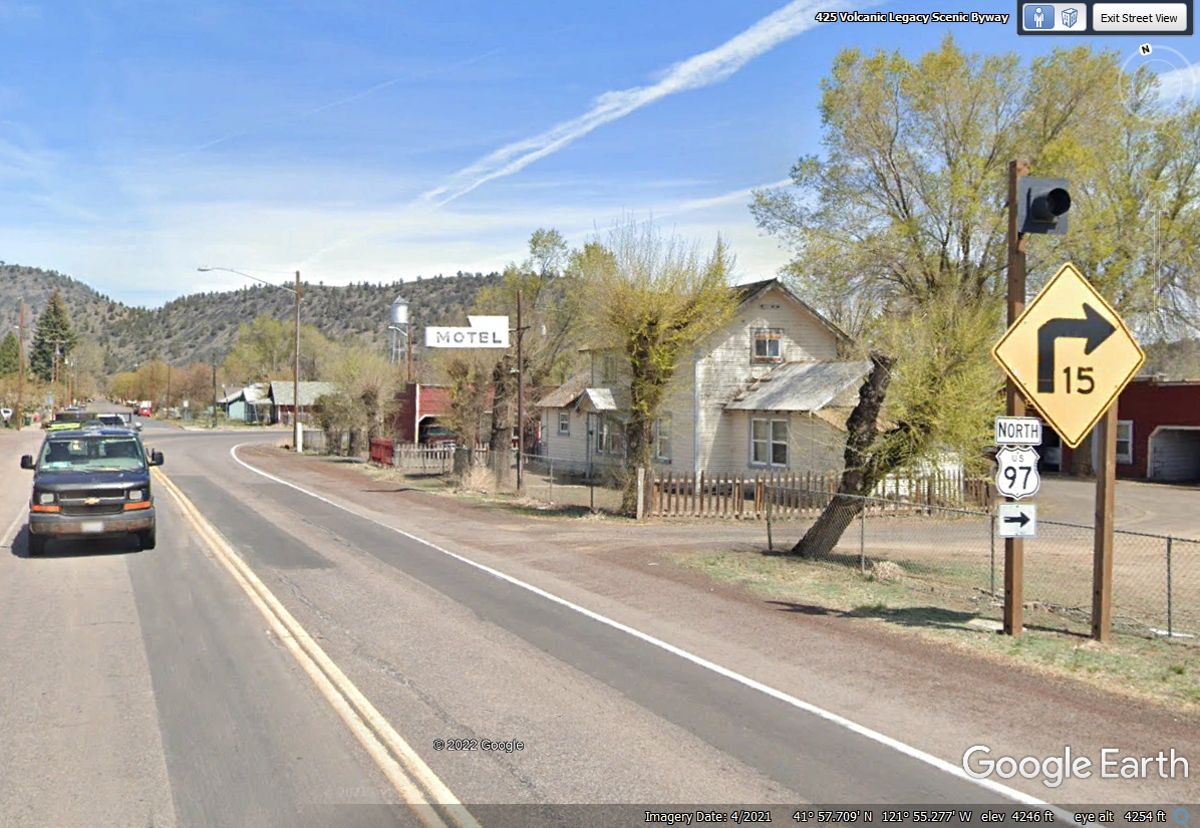
This LEFT turn before the railroad tracks will limit crossing the tracks
two times before leaving town.
This image is looking north on the Main Street of the town of
Dorris. This image must have been taken on a SUNDAY as there is no traffic
on the street.
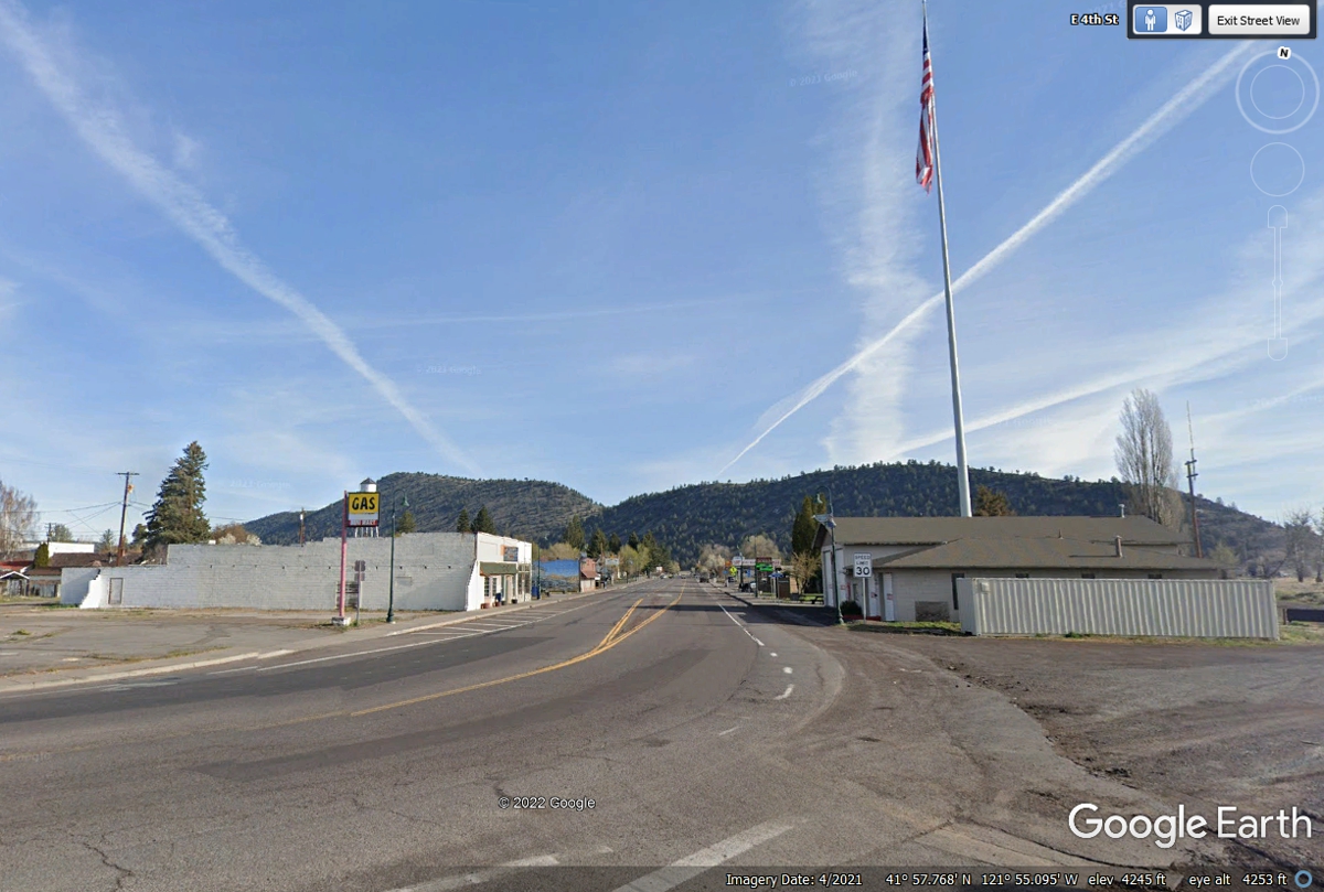
I like towns where they paint a mural on the side of a main building in
town. This mural includes the two hills north of town in this image.
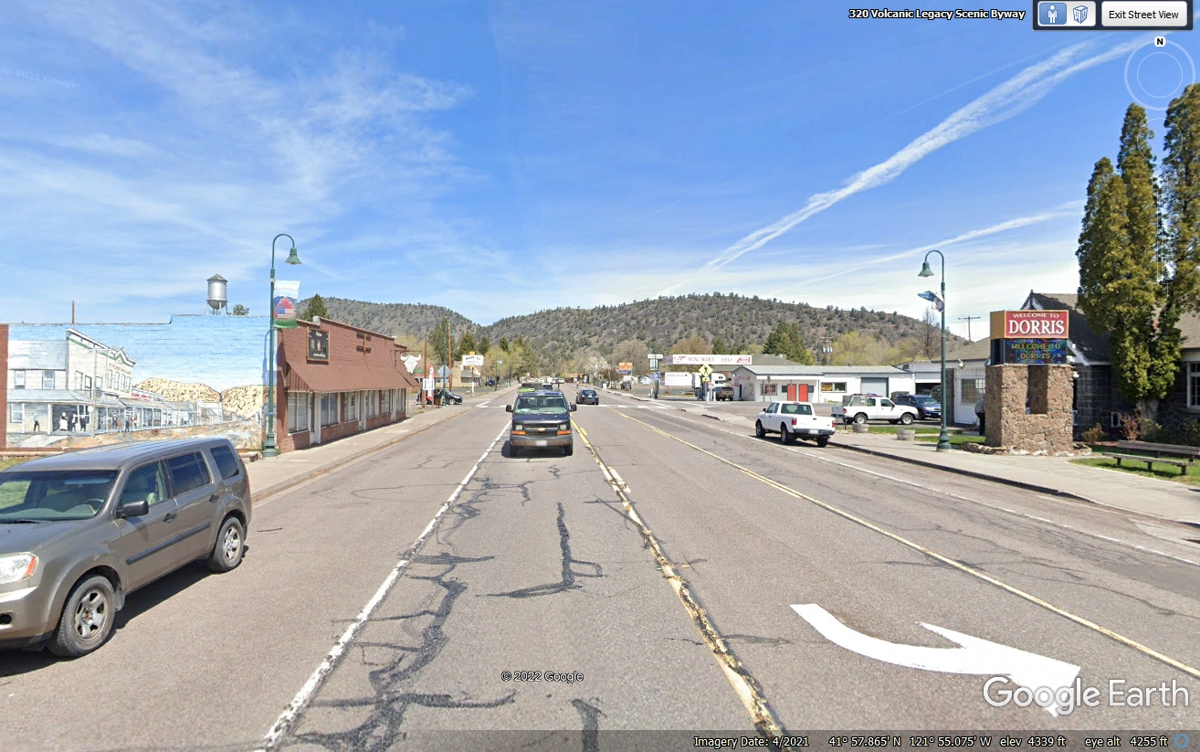
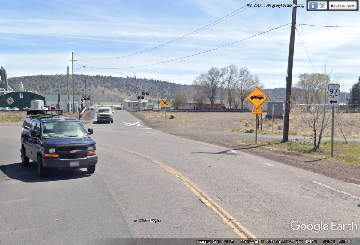
I went to the north end of Main Street where US 97 turned right with no
marker sign and arrow posted. I continued East and crossed the single
railroad track. South of town, there are two parallel tracks.
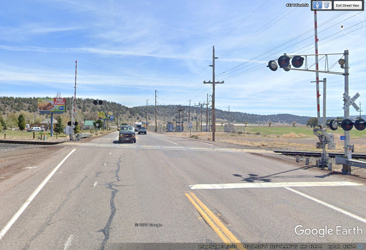
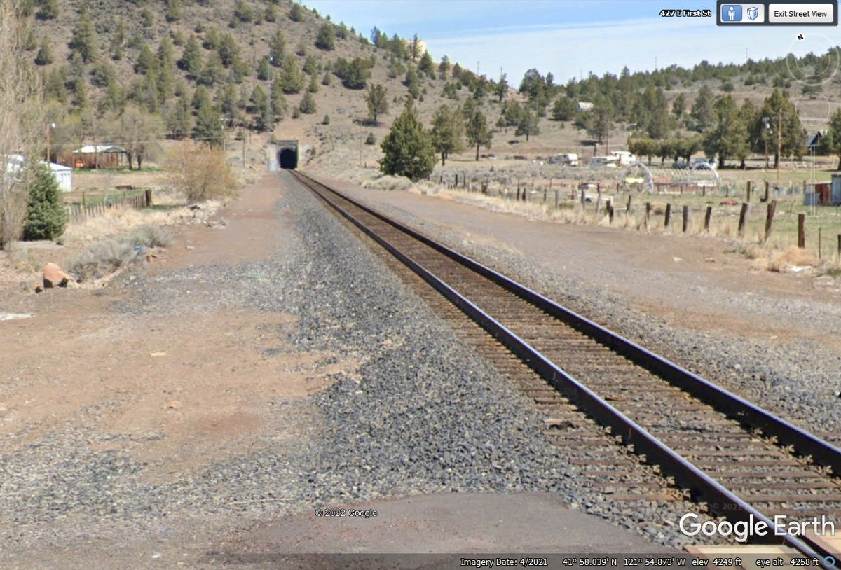
Looking north from the US 97 railroad crossing reveals why there is only
one track to get through that tunnel.
| NORTH FROM REDDING, CA. - PAGE 34 | RETURN TO WESTERN TOUR INDEX PAGE |