May / June 2022 Vacation Day 8 · · PAGE 19.
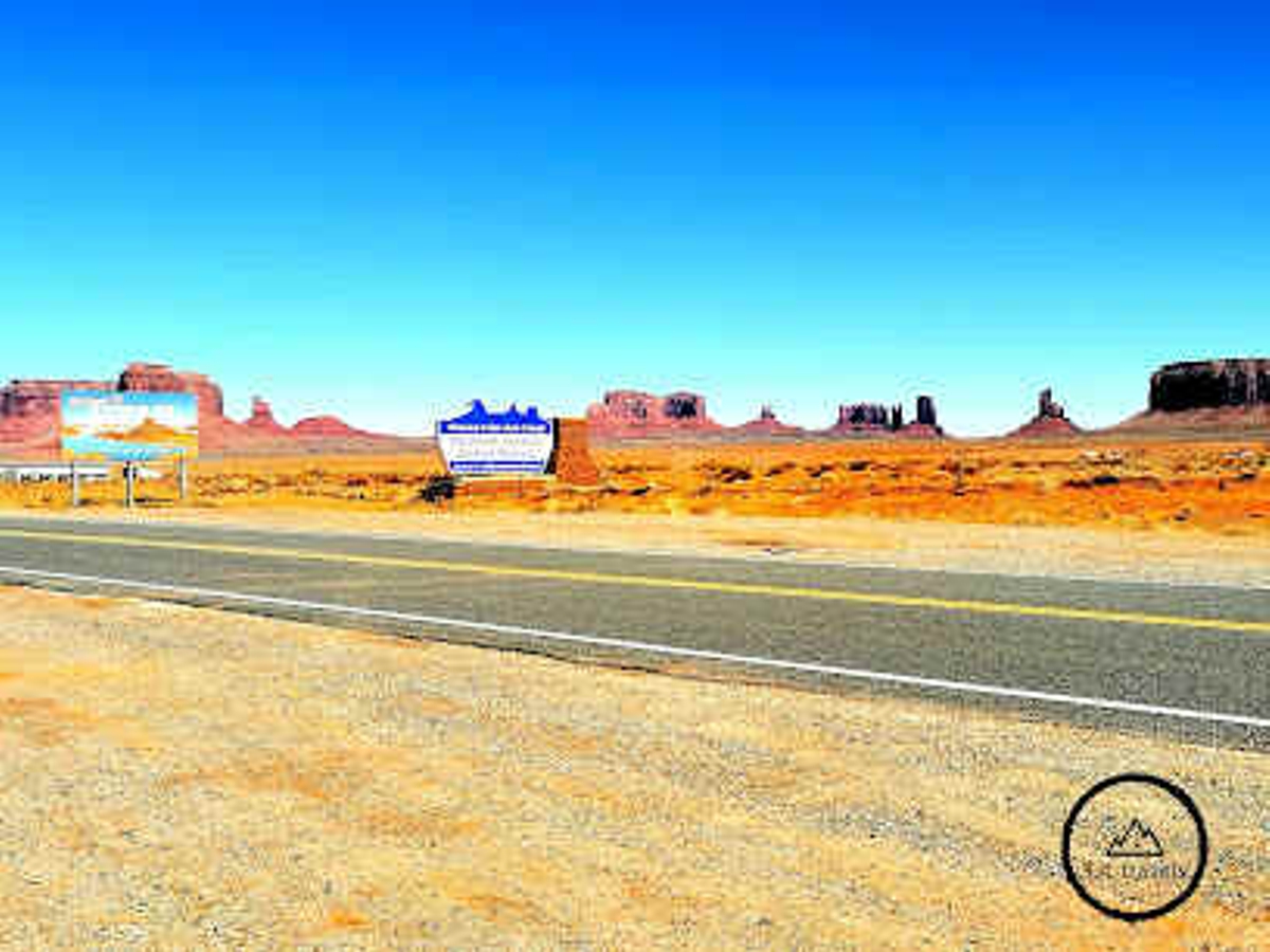
May 30, 2022: Today we
get to see Monument Valley where a lot of classic Western Movies were filmed
over the years. US 160 will take us to US 163, the actual route through
Monument Valley with its well-known Buttes and Mesas.
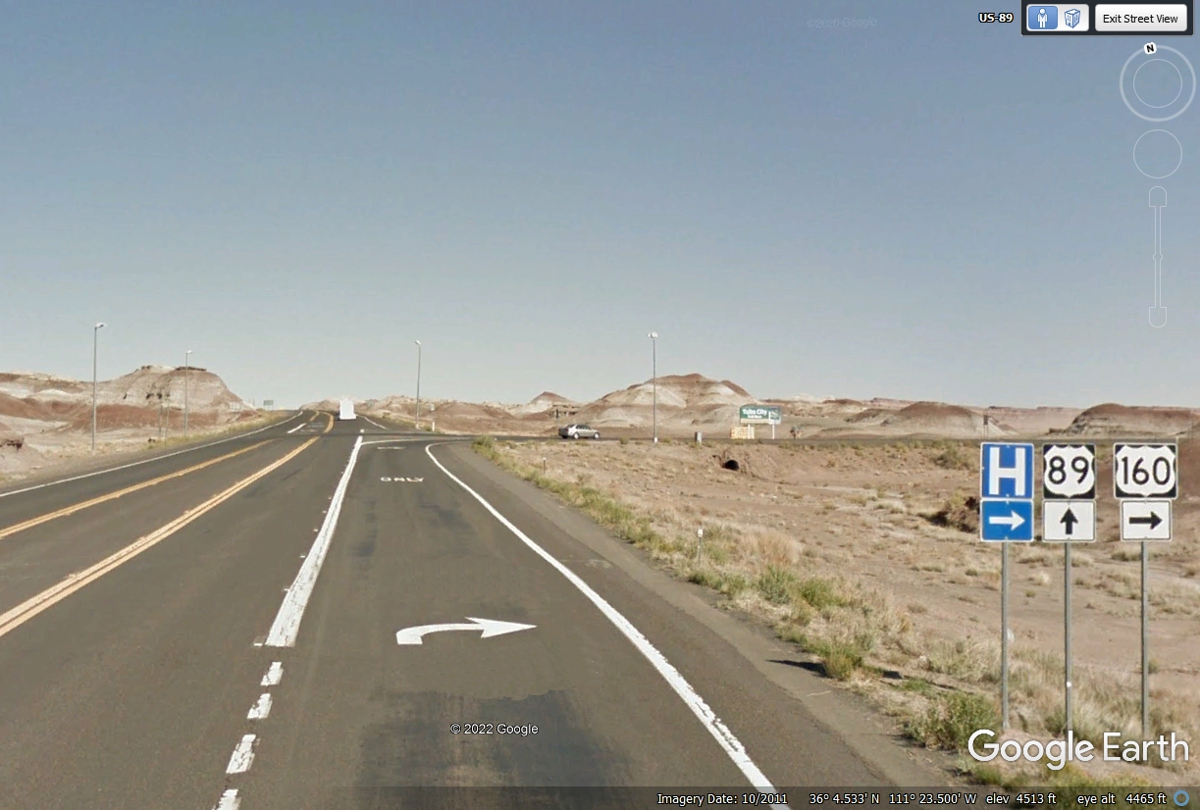
Around the corner from US 89 is this mileage sign as US 160 starts heading
EAST. There was a sign at the US 89 - US 160 intersection for a Quality
Inn located in Tuba City only 11 miles from here on US 160. Kayenta is the
town where US 163 begins the trip through Monument Valley, the highlight of our
travels to complete this day.
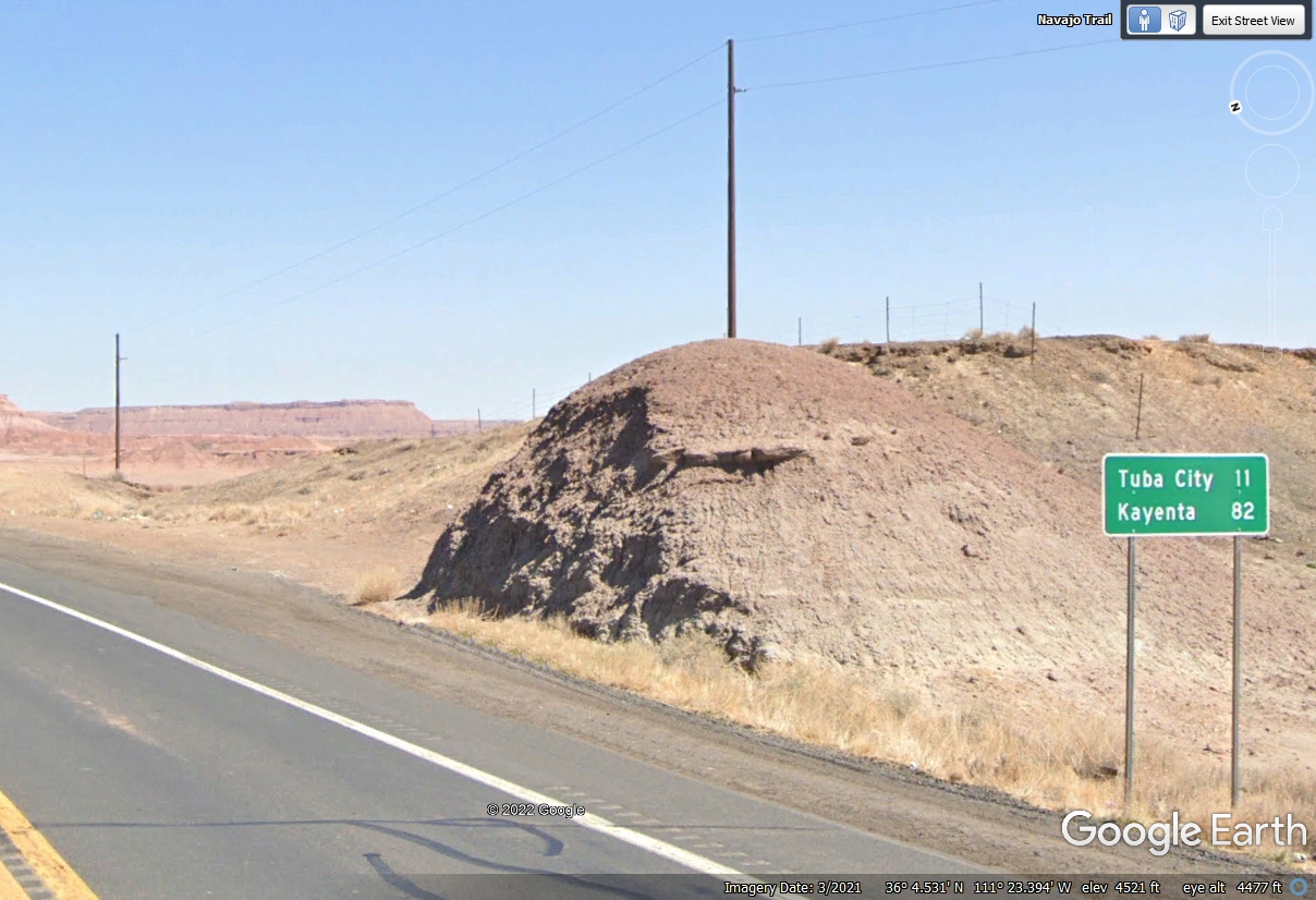
With the nearby intersection of two US highways and an open valley to the
East, the cell phone companies made this high ground the best place to install
one of their towers.
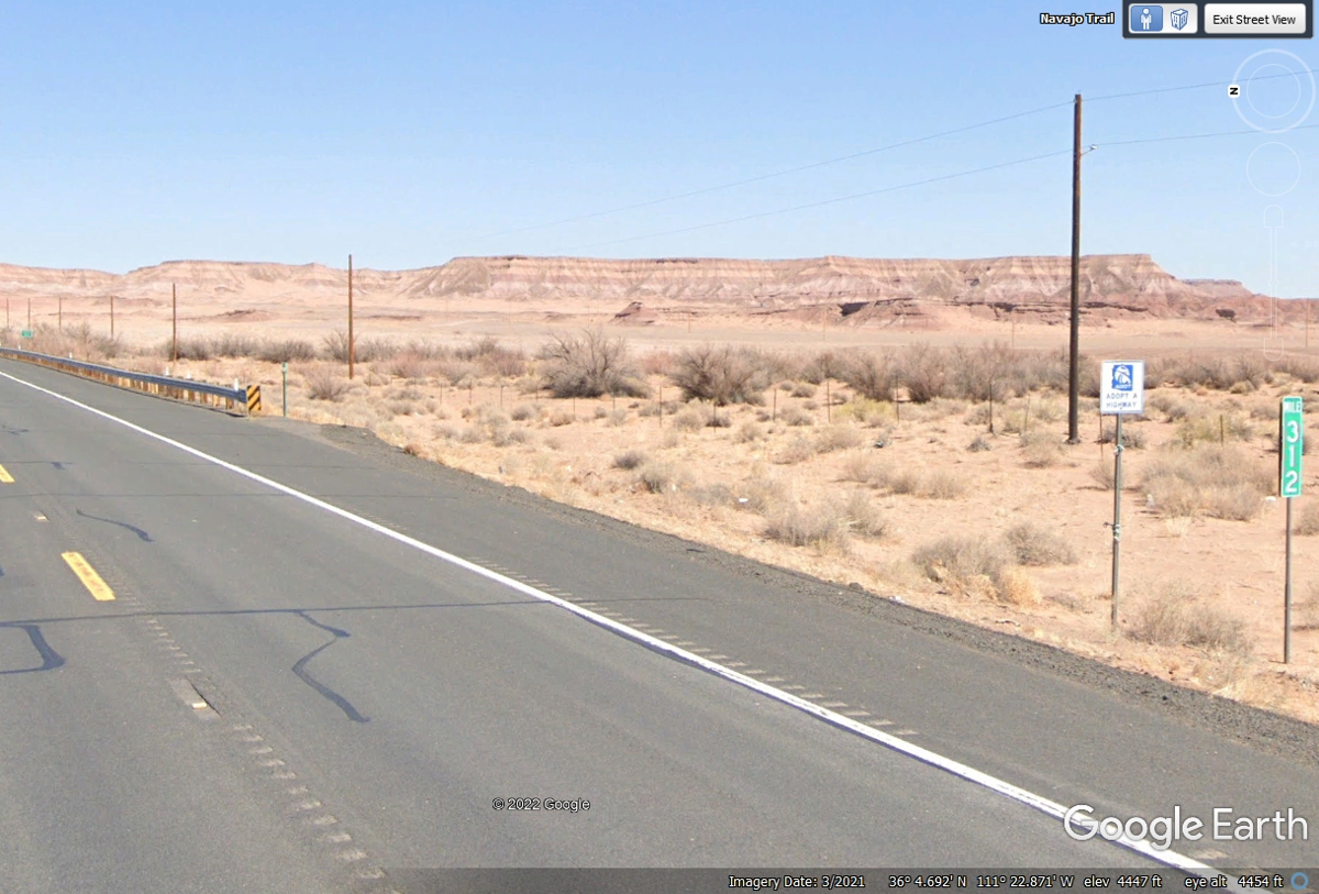
I found mile marker 312 East of the cell tower on US 160. I looked
at the final mile marker on AZ route 64 with the mile number of 295. I
drew a line from that marker to the one seen below to discover the distance via US 89 to this mile marker 312 is 17 miles. When you subtract 295 from 312,
you get 17. What the Arizona DOT is doing with their mile numbers is
beginning to make sense across the state.
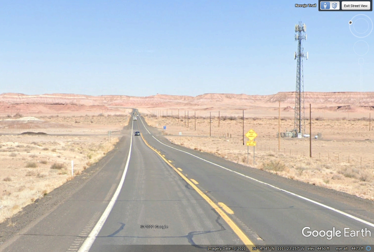
This image below is less than 3 miles East from the US 89 junction with US
160 as it is climbing the first hill on the way to Tuba City, AZ. I looked
up the AZ DOT highway mile marker graphic page and could not find any
correlation between mile markers and state lines until now.
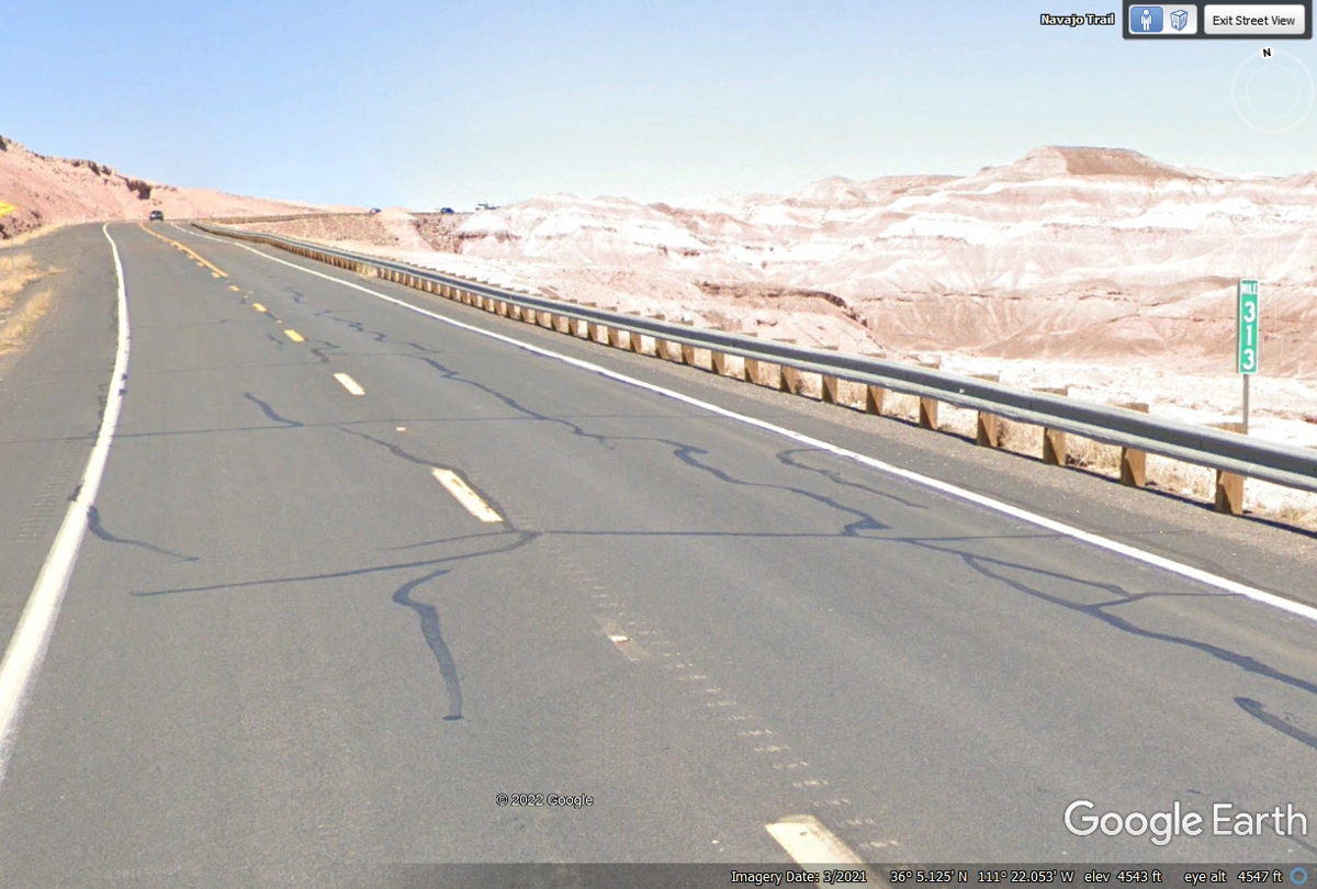
The next mile marker is atop the West end of the plateau that stretches
about 6 miles to Tuba City
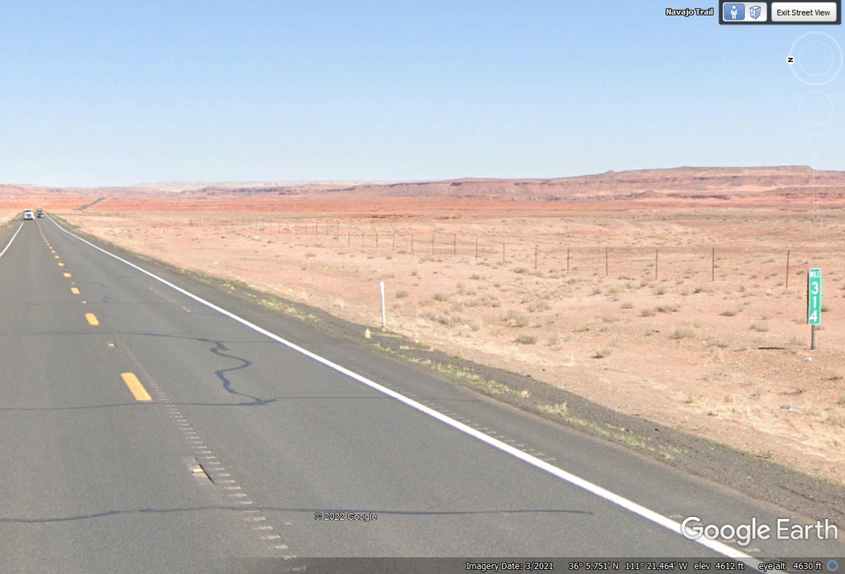
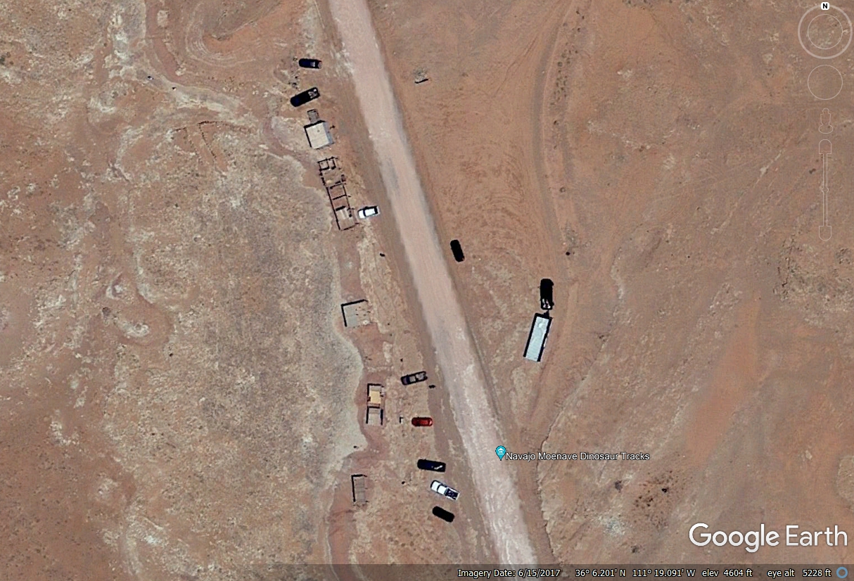
Less than half way across this plateau, this short side road goes to a
place where dinosaur tracks have been found. The Navajo tribe maintains
this place as a tourist attraction. This image is from the Google Earth
camera vehicle driving by this place on US 160 going East.
Here is an aerial view of the dinosaur tracks exhibit.
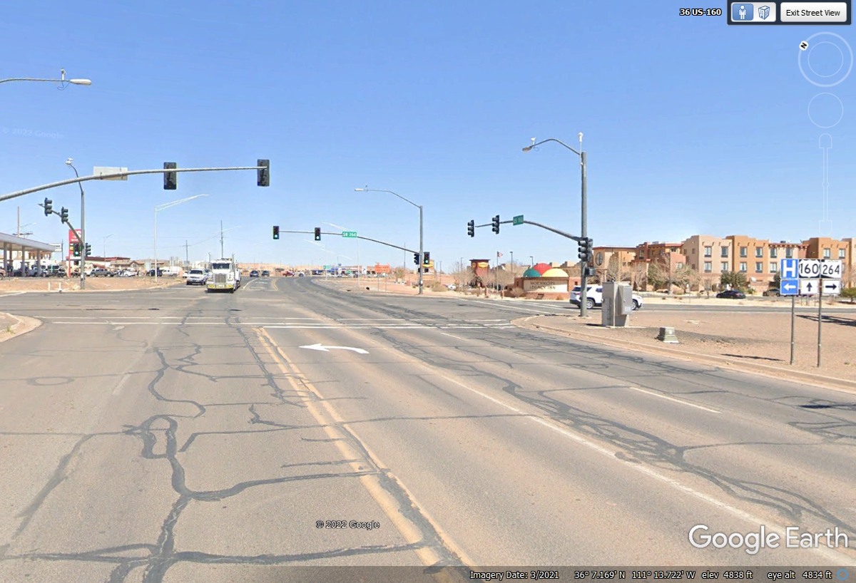
Most of the town of Tuba City is north of the US 160 route going East as
seen here at the junction of Arizona 264 going south. There are a couple
of gas stations and motels here and fast food outlets.
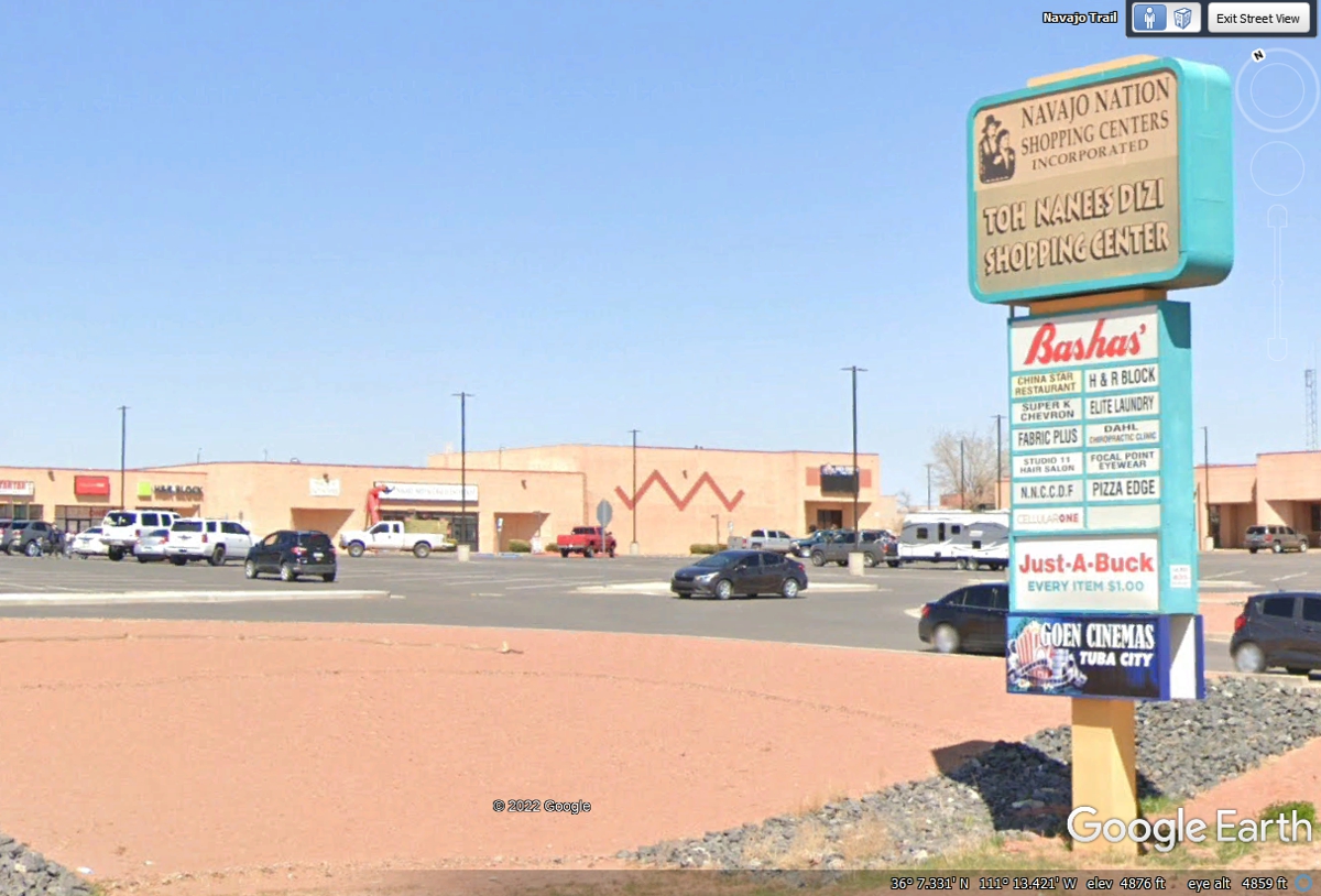
Tuba City has "regular stores" in the Navajo Nation Shopping Centers.
The town of Kayenta is where US 163 starts north here to Monument Valley
from US 160 still going East. We are making this LEFT TURN to get to see
one of the most photographed parts of Arizona and Utah desert areas.
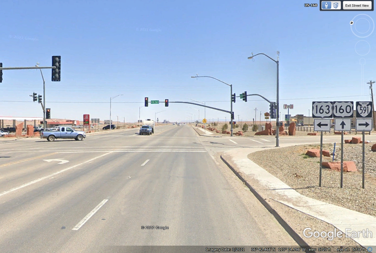
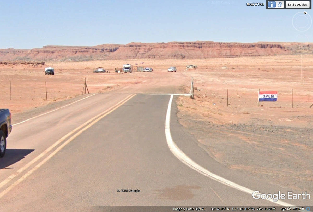
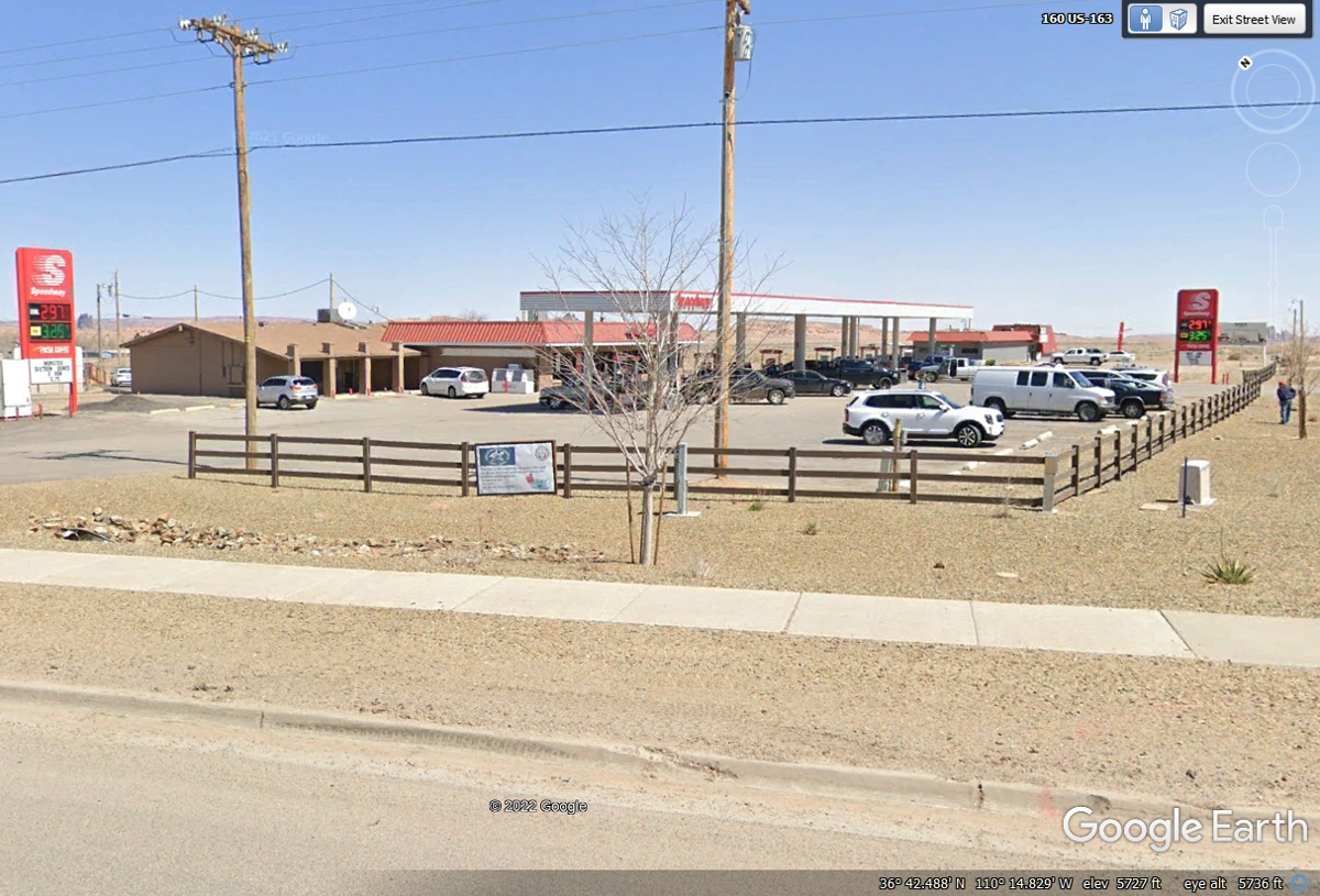
This Speedway Gas station is on the corner where US 163 begins at US 160.
It has some of the best prices for fuel in this
area. We stopped here to give Chase some relief and refilled his water
bowl in the car.
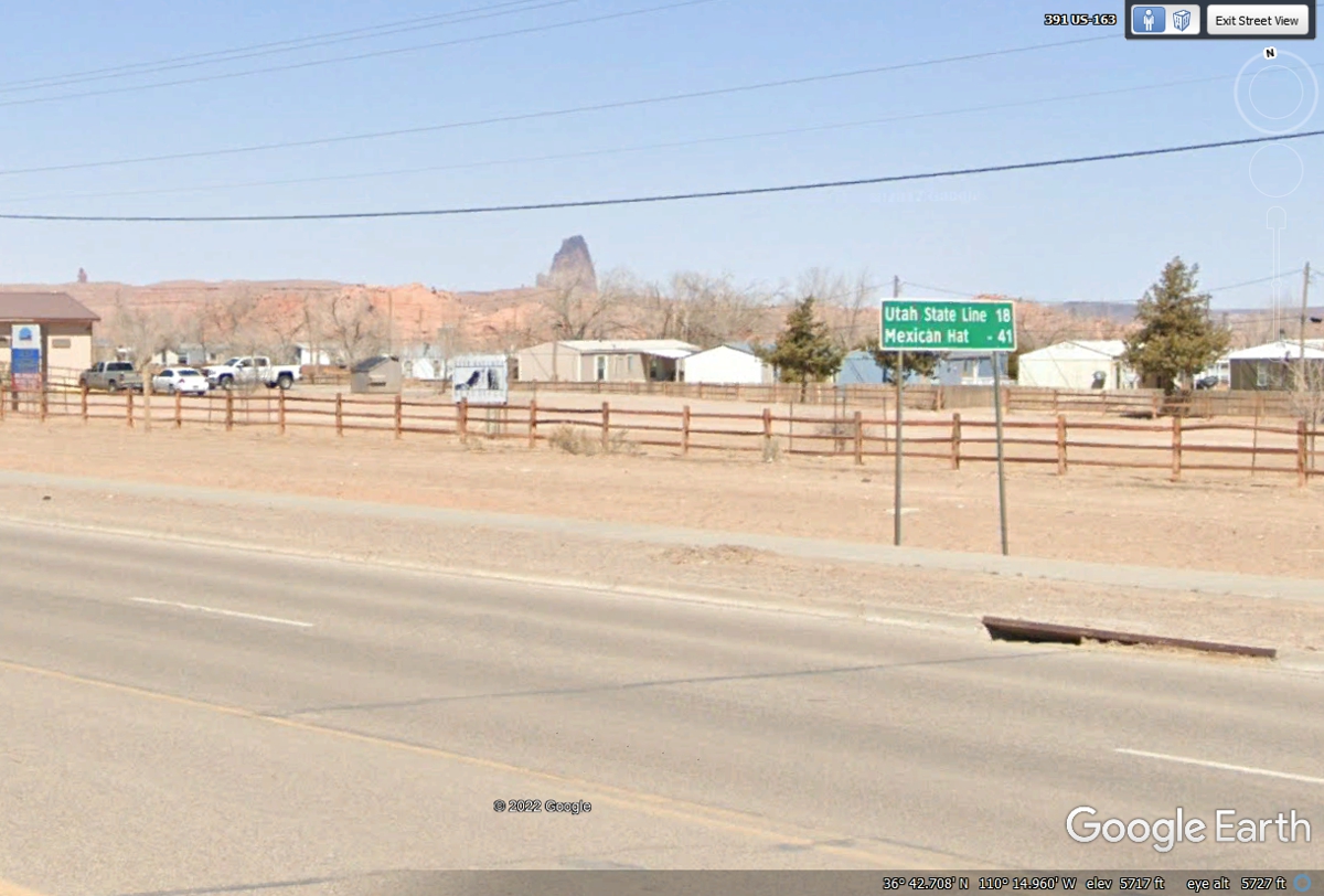
These mileage signs found as we leave each town always get us looking for the
next good photograph on the road ahead. Mexican Hat is a couple of stacked
rocks that look like a Mexican Hat as you will see on the next page of this web
site.
This mile marker sign is probably based on how far we are north from the
southern Arizona state line with Mexico.
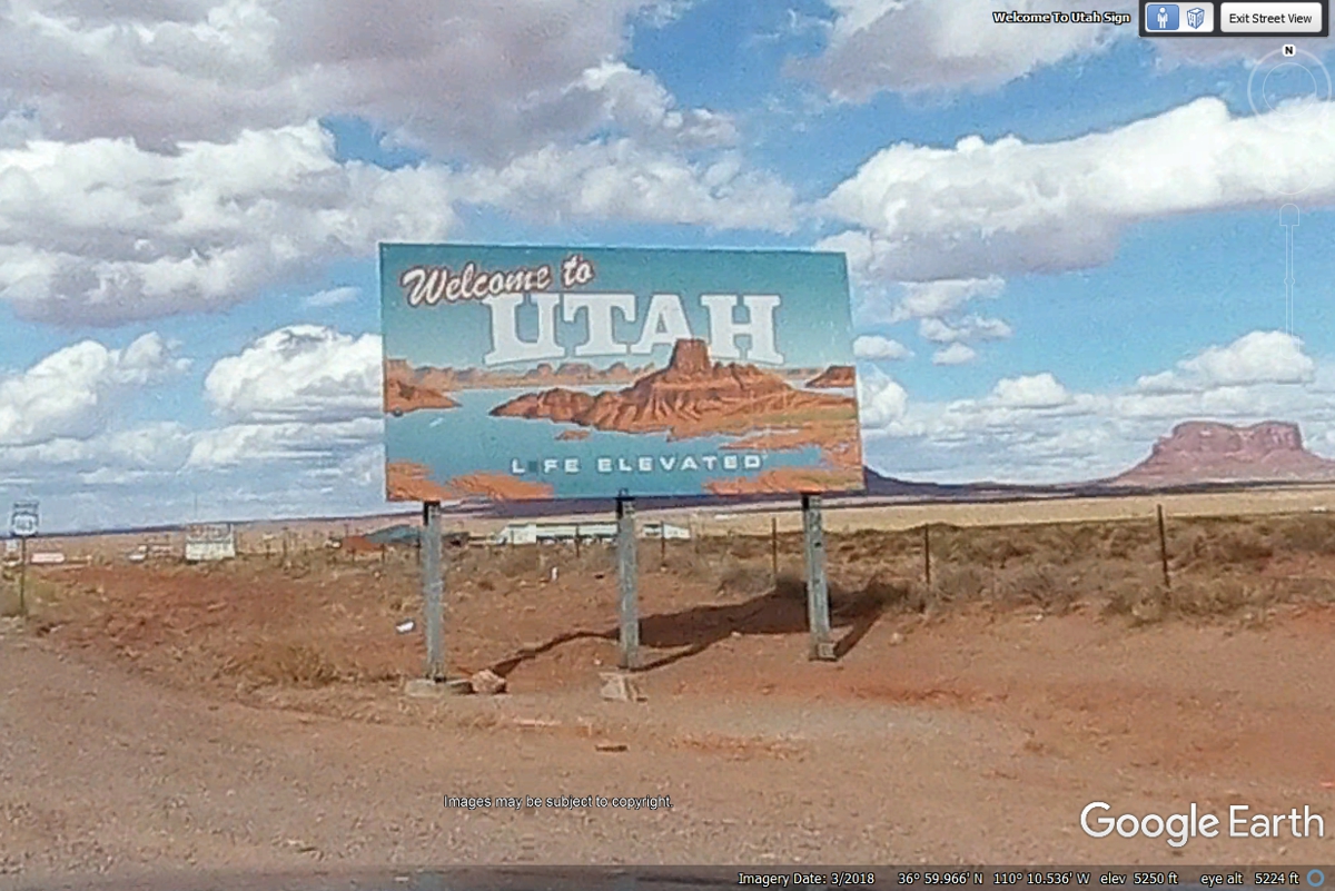
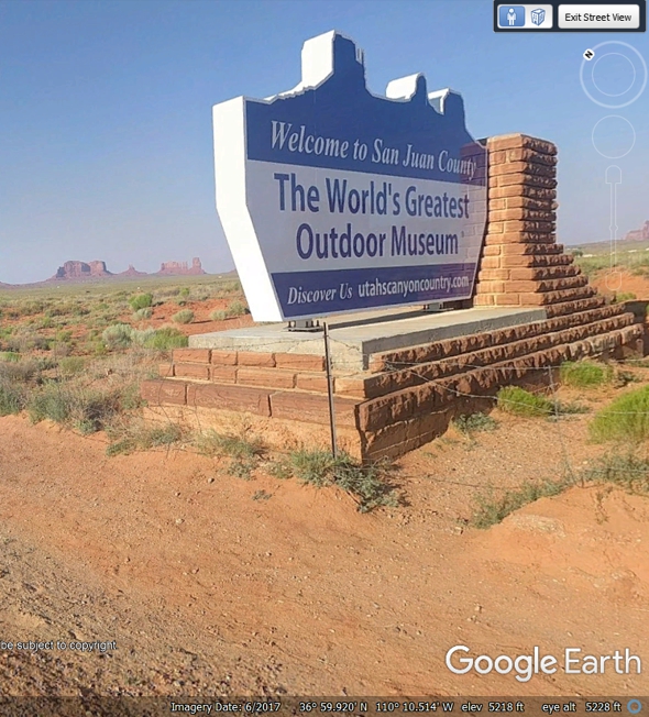
The 18 miles from Kayenta, Arizona are behind us as we enter Utah amidst
the wonders of Monument Valley.
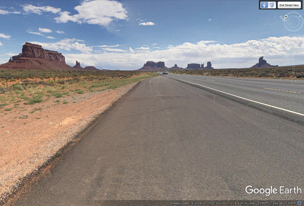
| This image plus the one above and the one
to right came from tourist photos using 360-degree cameras. They
were not taken by Google Earth using their photo vehicle or one of their
portable cameras like the images at the Taj Mahal or at Niagara Falls, NY.
|
 |
The image below was not taken by Google Earth. It was sent to them for this
area. This is my fixed snapshot from that image. The original image can be turned a full 360
degrees. You can see that agile image on Google Earth by finding little BLUE
circles, then click on them. These donated images cannot be elevated up
and down.
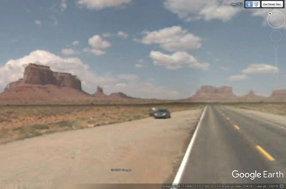
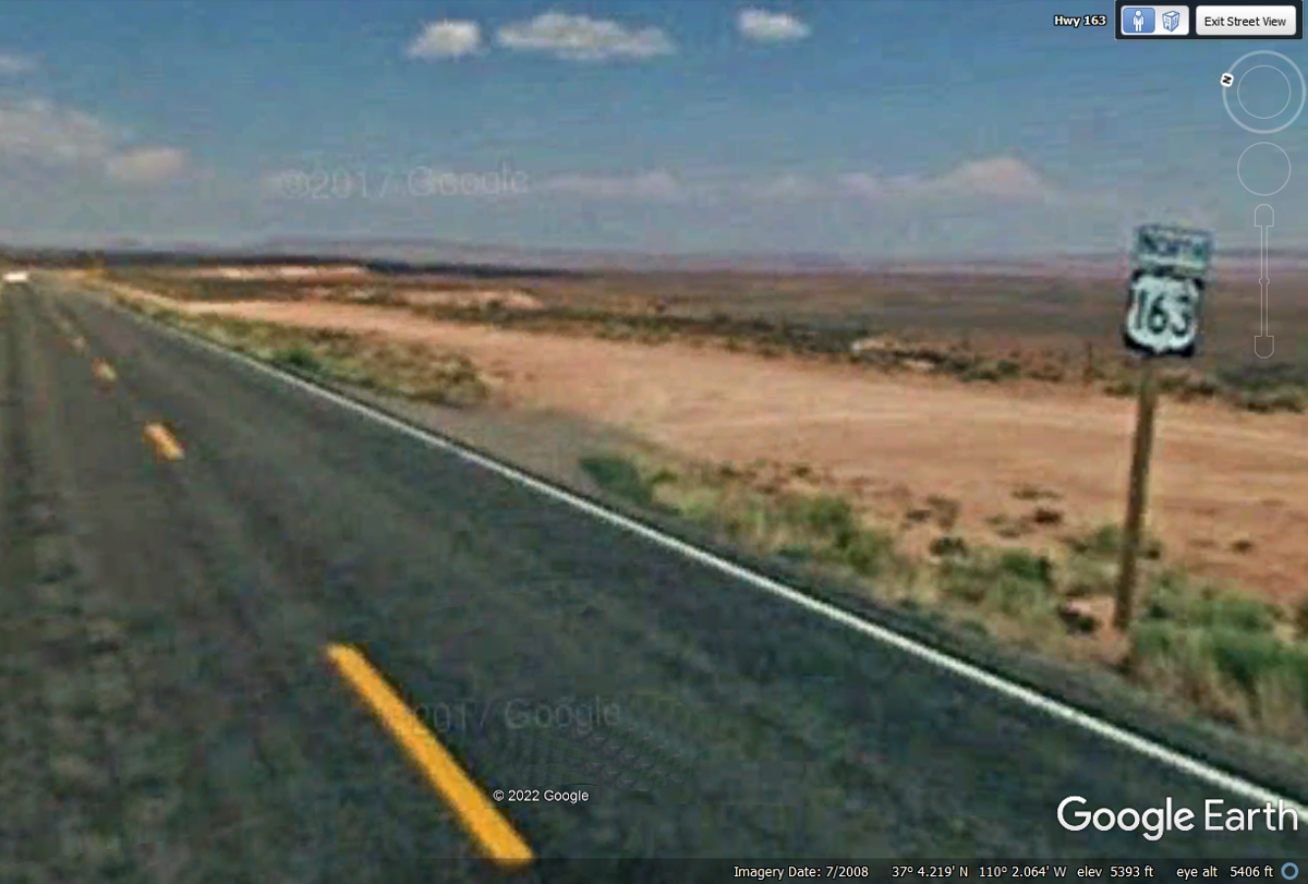
This is the real Google Earth image from this location from 2008 with poor
resolution. There were a large number of Google Earth images that were
underexposed on US 163. Hopefully, the folks from Google Earth will send
one of their MODERN camera vehicles on this route to resolve the issues of
resolution and low exposure lighting.
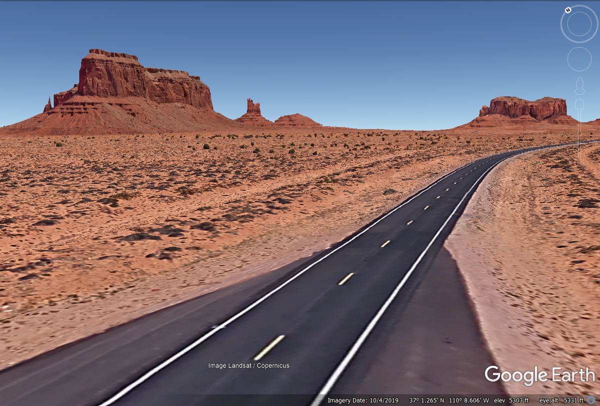
This is not an actual photo graph, but a composite image from
Landsat. There is no realistic scenery with bushes and trees.
This is the poor quality Google Earth image from an area north of Monument
Valley on US 163 looking north
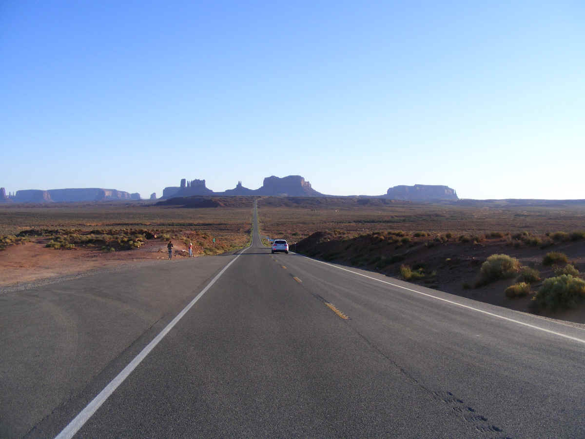
Here is another of those panoramic photos taken from "Forest Gump
Point" on US 163. This is where the Hollywood movie crew took their classic
photo. You can see this location and related photos by searching for
"Forest Gump Point" in Google Earth. This 360-degree image was
taken by a private citizen and sent to Google Earth. I rotated the image to
show the shot as it was when Forest Gump decided he would "go home
now" at the end of the movie. I have marked this actual location as a waypoint in my Garmin
GPS 296 to be sure we stop here to get some of our personal photos.
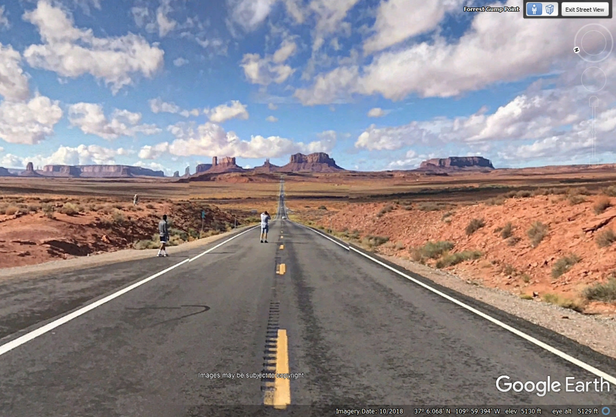
The two guys seen in my image below had one of them laying face up on the
highway centerline with his head toward the monuments. They waited for
that car to leave the area before pulling that stunt photo. The shadows
here indicate late afternoon sun-lighting.
.
| ARIZONA & UTAH DESERTS - PAGE 20 | RETURN TO WESTERN TOUR INDEX PAGE |