May / June 2022 Vacation Day 8 · · PAGE 20.
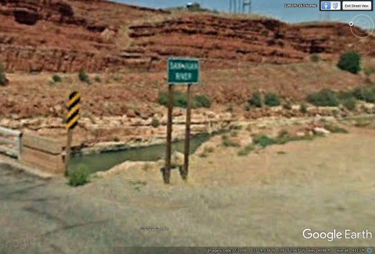
May 30, 2022: The San Juan
River flows down from Colorado and joins the Colorado River west of here before
all that water heads toward the Grand Canyon. This Google Earth image is
from 2008 which is why it has a poor focus when it was zoomed in too far on the
sign.
At the top of the San Juan River gorge on the north side is the little
community of Mexican Hat named for a nearby rock formation that looks like and
upside-down Mexican Hat. These Google Earth images from 2008 have less
resolution than the newer images.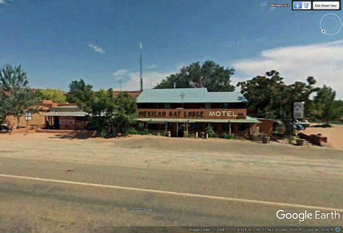
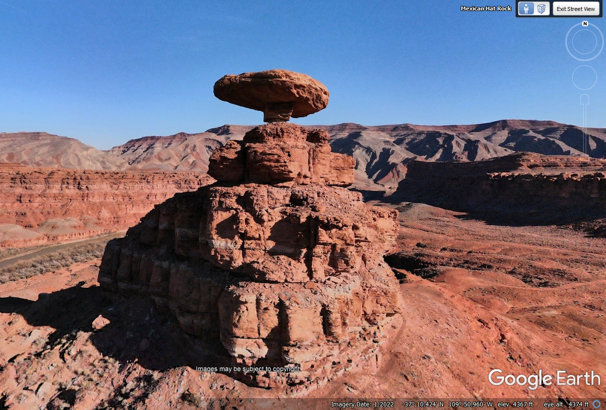
Here is another of those close-up images from Google Earth
not from their
camera vehicle.
This is how it looks from a road at ground level, not from the highway where
Google passes this location. They do not have good image resolution.
This image and the one above were donated to Google Earth for this web site.
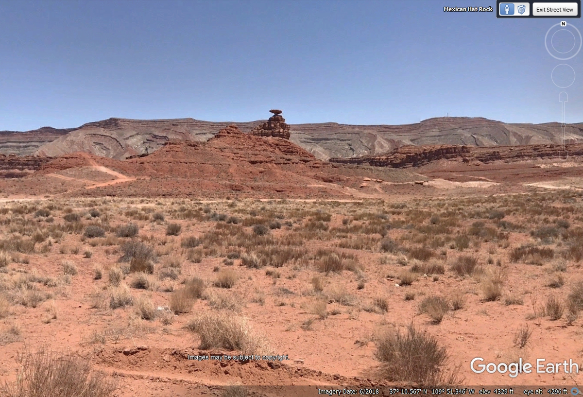
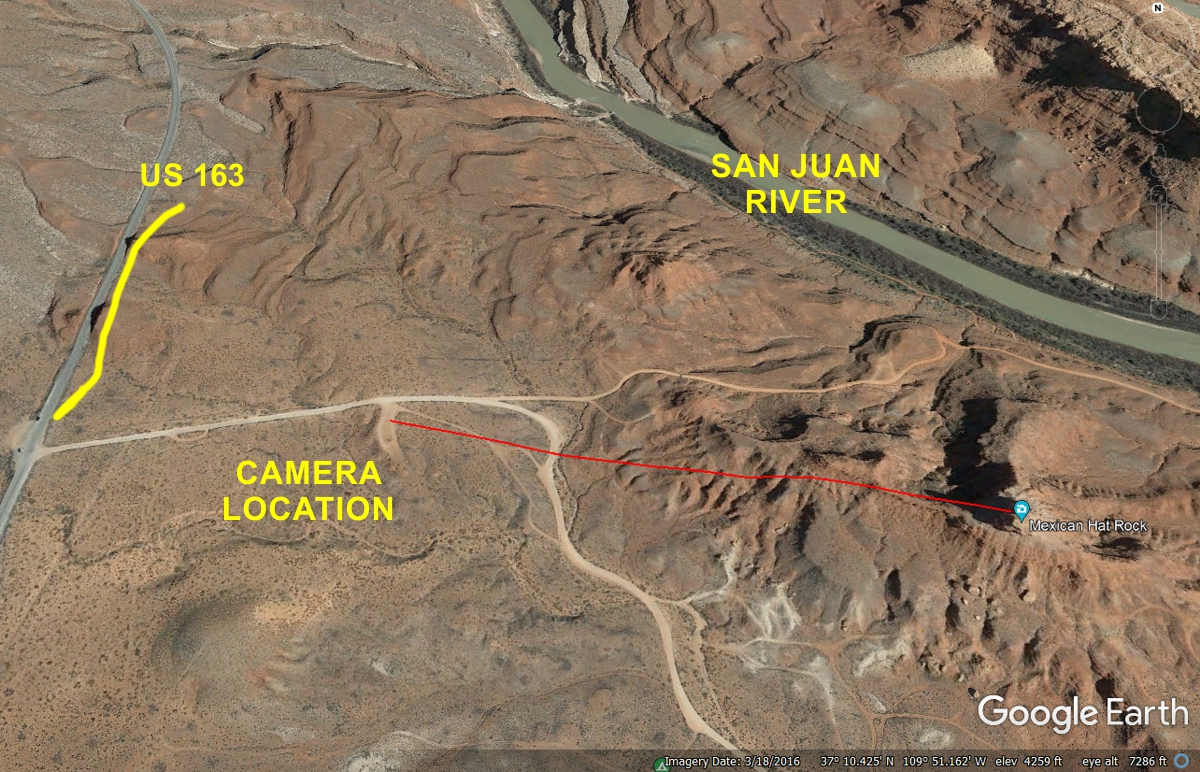
The RED line is the 4 tenths of a mile path from the camera location in
the image above to the Mexican Hat rock location. When we get to the site
on our vacation, I will take my photo from that location using my camera zoom
lens.
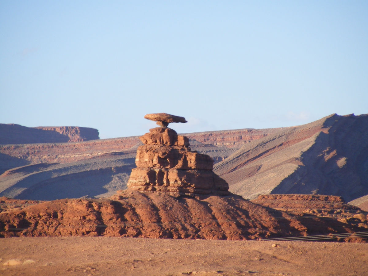
This is MY Mexican Hat photo taken from the dirt road south of the rock
formation. This camera angle looking north reveals the small amount of
rock supporting the "HAT" rock. I was glad I used this southern
camera location after comparing my zoom lens details with the Google Earth
images.
After taking our own photos of the Mexican Hat rock formation, we
got back
on US 163 to go northeast along a ridge line to a point where the road comes off
the ridge and crosses a valley in a southeastern direction. This image below
shows where the road begins the descending route turning southeast across the valley.
Here is the view after making the right turn seen in the image
above. It is about two miles before US 163 makes a left turn and climbs
the next ridge.
Here is aerial view where US 163 has crossed the valley, climbed the new
ridge and goes East about 2.5 miles to END at the junction with US 191 where we
will turn south.
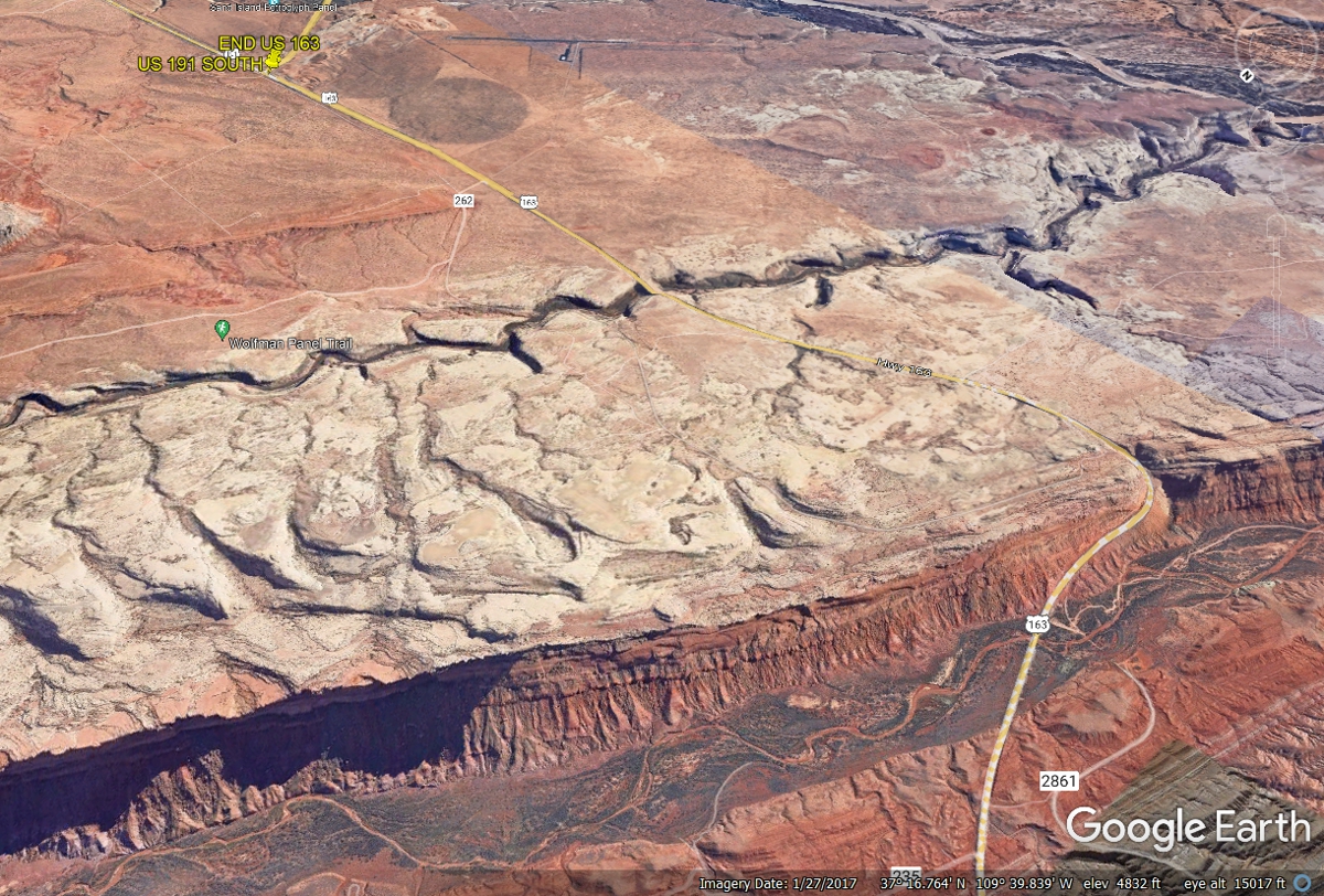
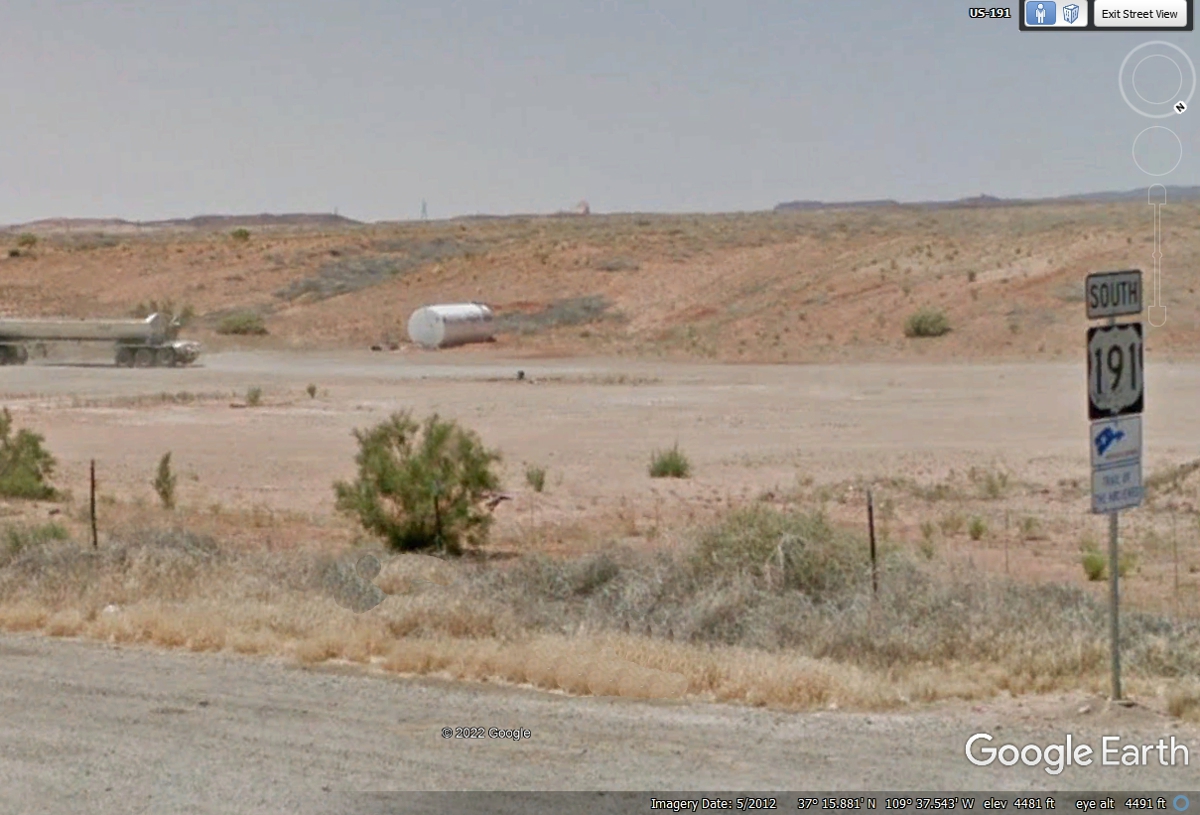
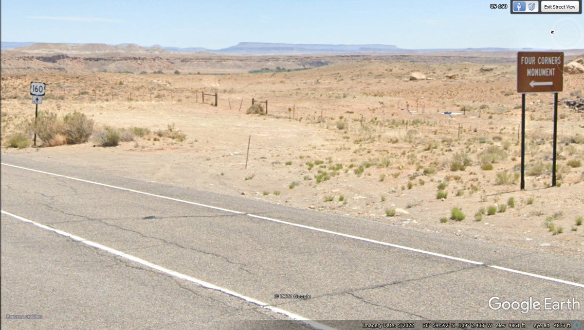
Following US 191 south from the end of US 163 saves about 10 miles going
to the Four Corners Monument. This is not a national monument. It is
operated by the native American tribes in this area. It closes at 5:45 PM
local time. Arriving before 5 PM or earlier is a good idea after a visit
to the Grand Canyon south rim at the beginning of this day.
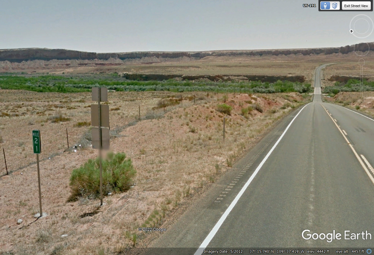
When going south down US 191. There is this mile marker for the Utah / Arizona
state line 21 miles ahead.
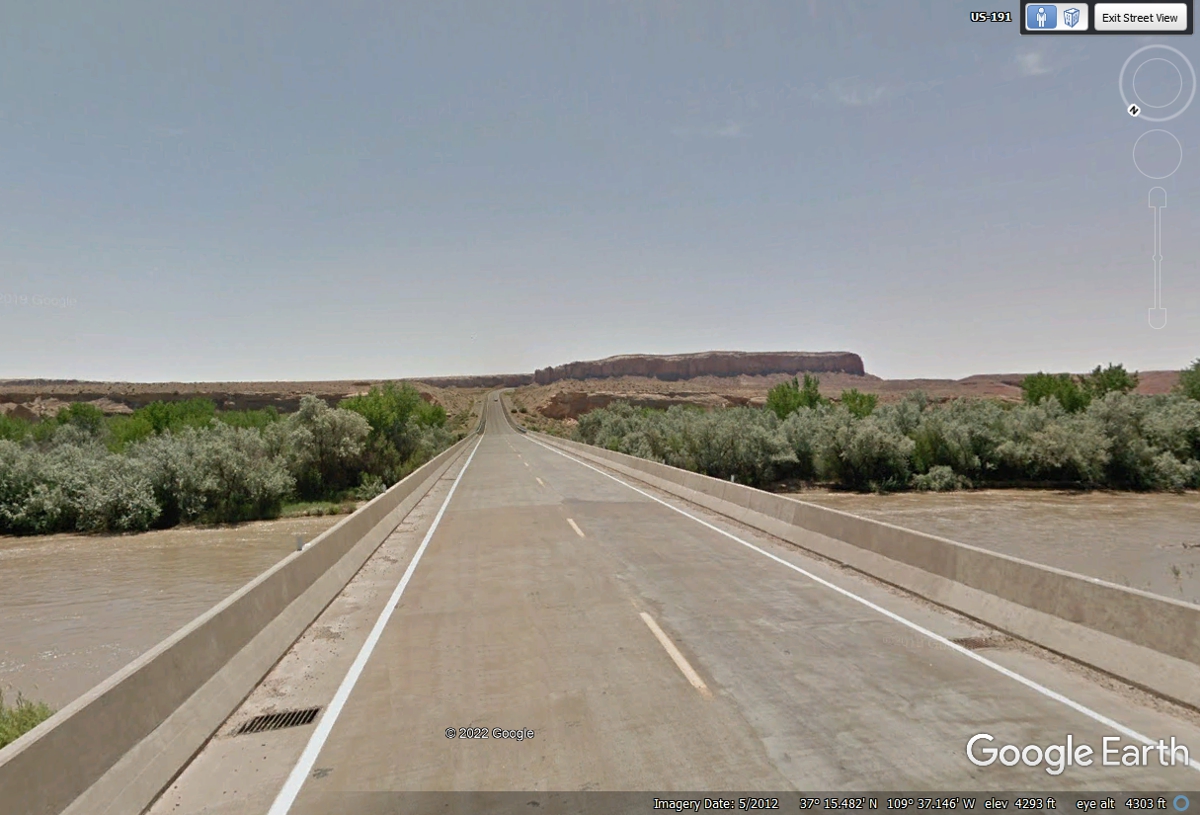
We will cross the San Juan River for the second time today before getting
to the Four Corners Monument. The river is flowing from left to right in
this image and the one above. Our first crossing was when we left the
Monument Valley area coming north on US 163.
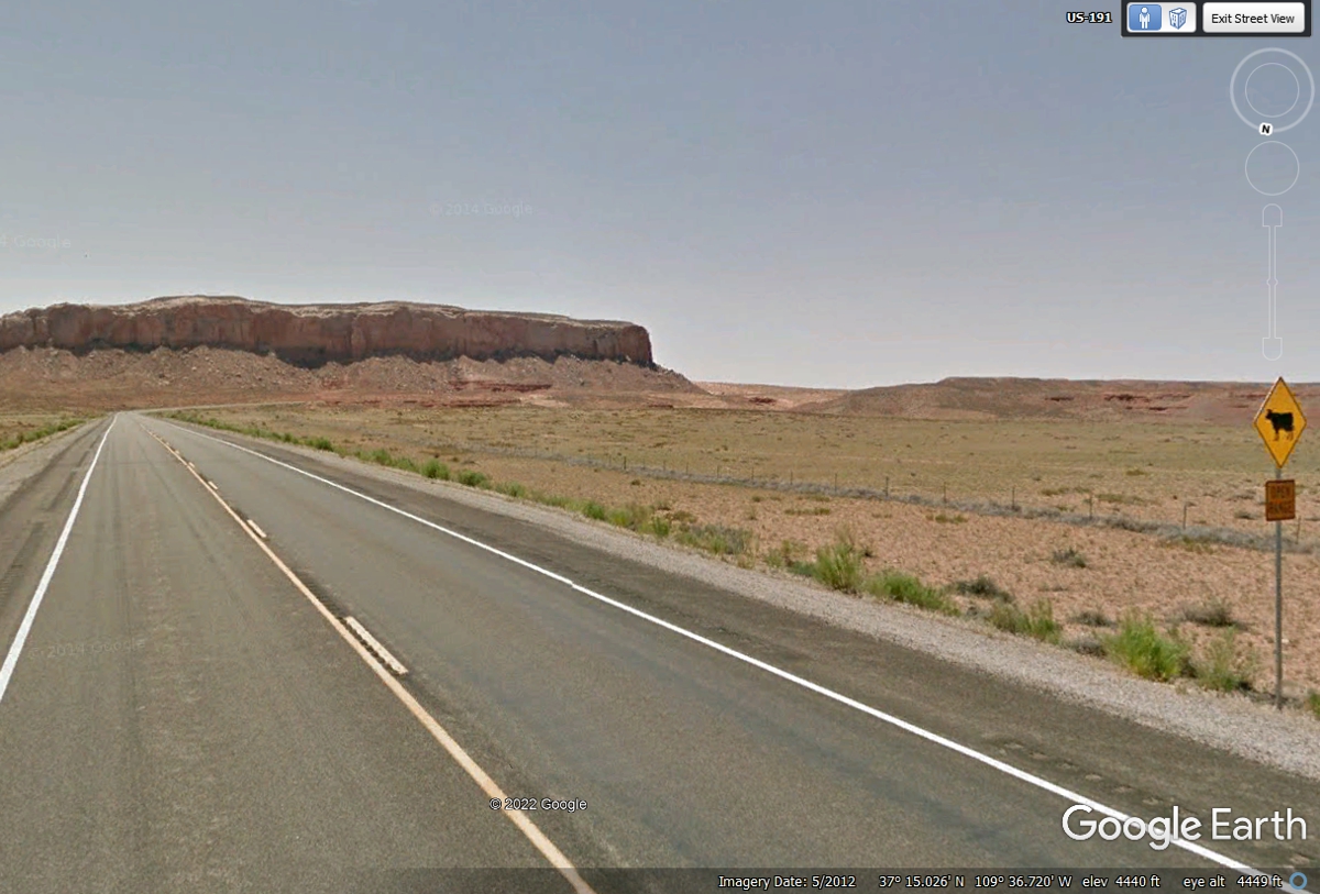
After crossing the San Juan River the second time, the terrain is similar
to Monument Valley with the Mesa seen here. The road sign says OPEN RANGE
below the image of a cow. The thing that makes the sign less important is
the fence row behind it that should keep the cattle away from the road.
The fence is 125 feet from the center line of the highway on both sides.
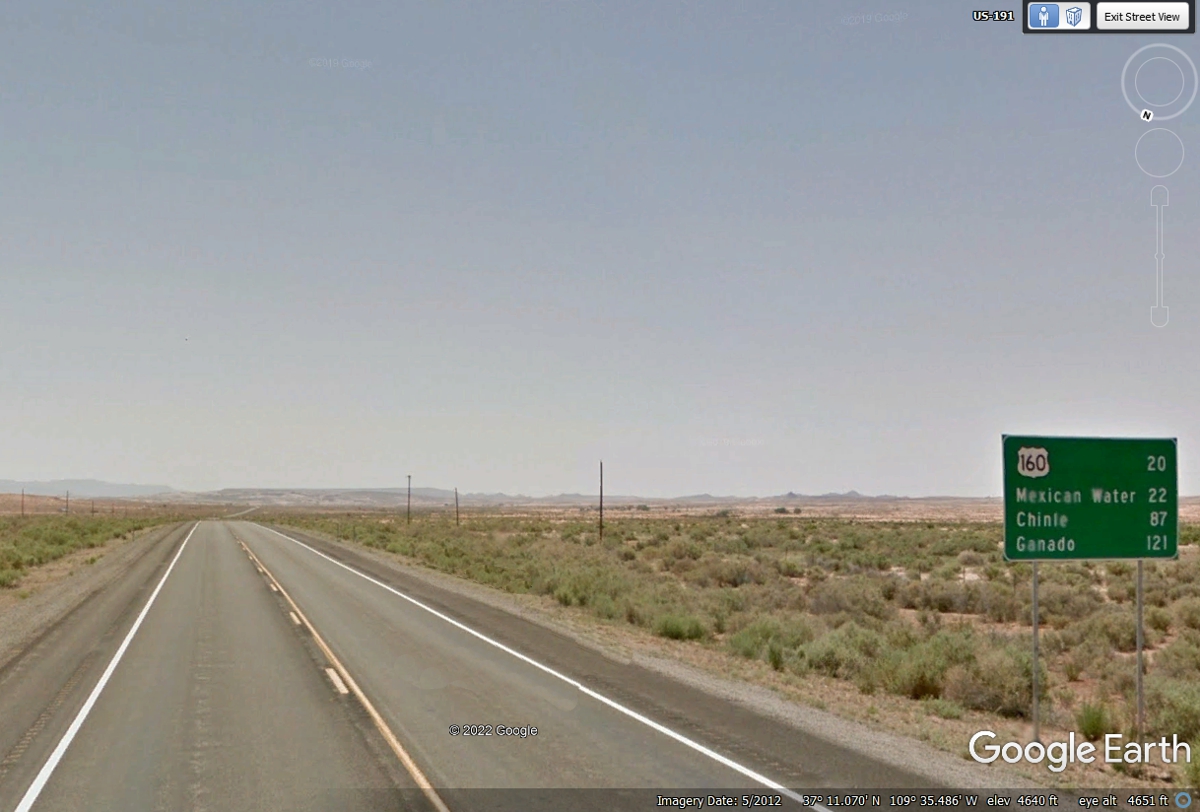
This image below is after US 191 has passed by the big mesa seen in the
image above here. US 160 is where we will turn EAST toward the Four
Corners Monument.
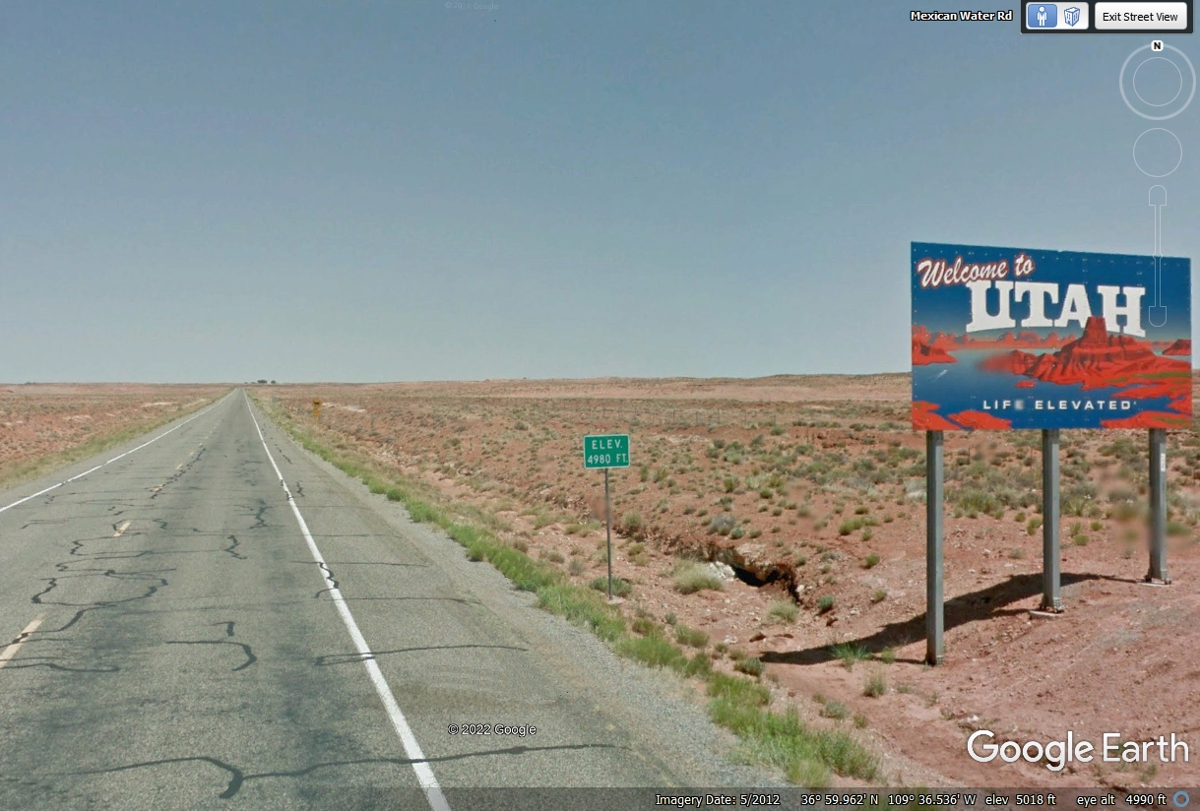
This image is looking north on US 191 at the state line with
Arizona. There is nothing on the Arizona side about this being the state
line. Utah has this colorful sign like the one we saw in Monument
Valley. The little green sign confirms the elevation is 4,980 feet above
sea level.
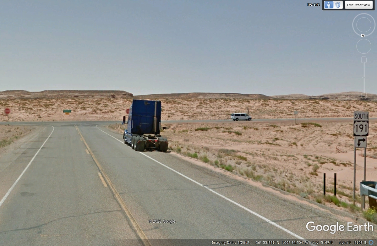
Here we are looking at an Arizona DOT road sign that cannot make up its
mind which way is SOUTH. Since this camera view is looking south, the
arrow pointing DOWN is wrong. An arrow pointing ONLY to the right is
correct. US 191 goes 1.35 miles west of here with US 160 to another
intersection where US 191 heads south. The GREEN sign ahead points to
Kayenta West of here on US 160 and FOUR CORNERS East of here using a LEFT turn
here.
US 160 goes just over 29 miles East from here, then turns northeast toward
the FOUR CORNERS MONUMENT, our next destination for tomorrow morning as darkness
is coming to our location.

Looking EAST from the US 160 intersection below shows the beginning of US 64
in the image below. US 64 begins here and travels all the way to the Atlantic Ocean
in North Carolina. We have already been there during a recent long
cross-country trip in the fall of 2021.
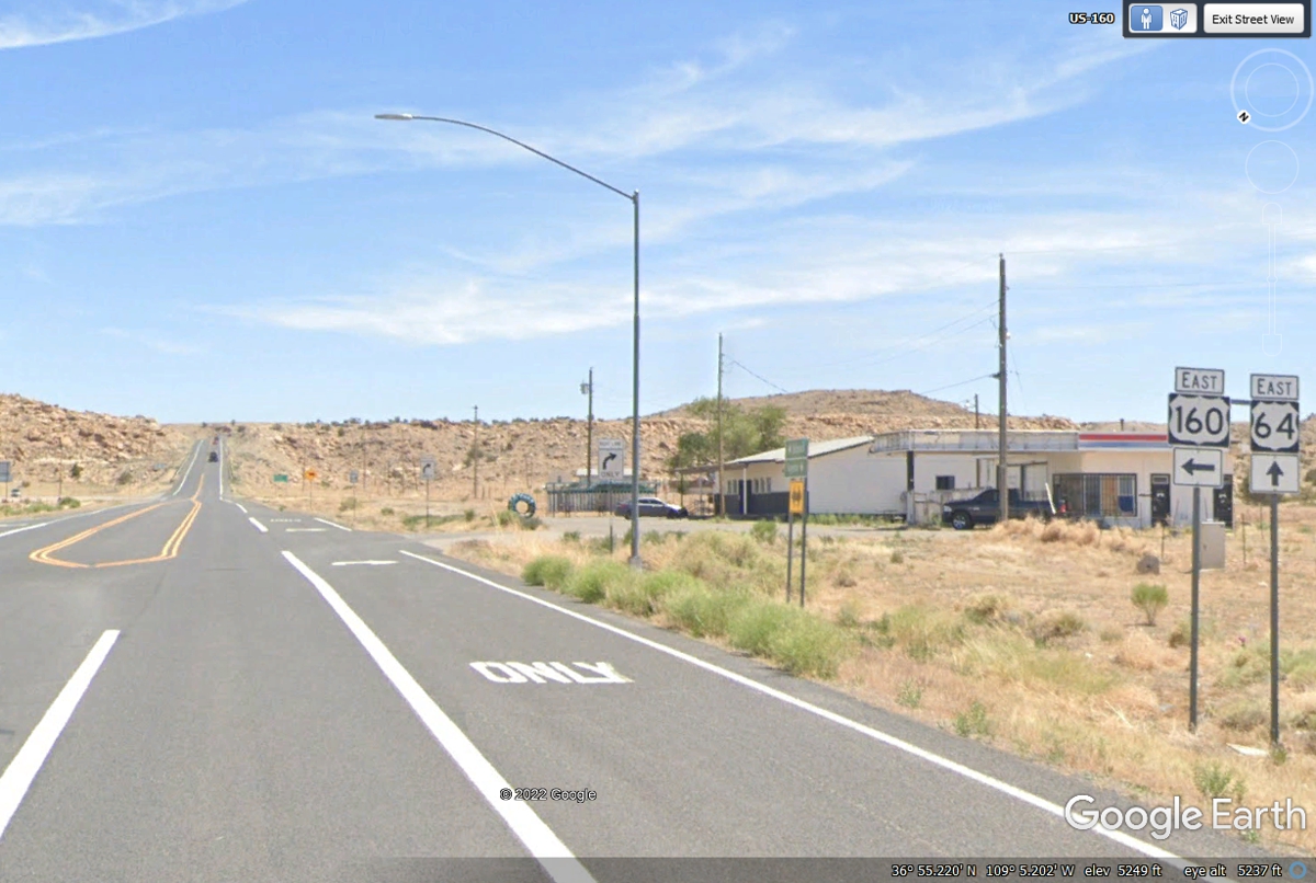
We turned LEFT here with US 160 going northeast to the FOUR CORNERS
MONUMENT.

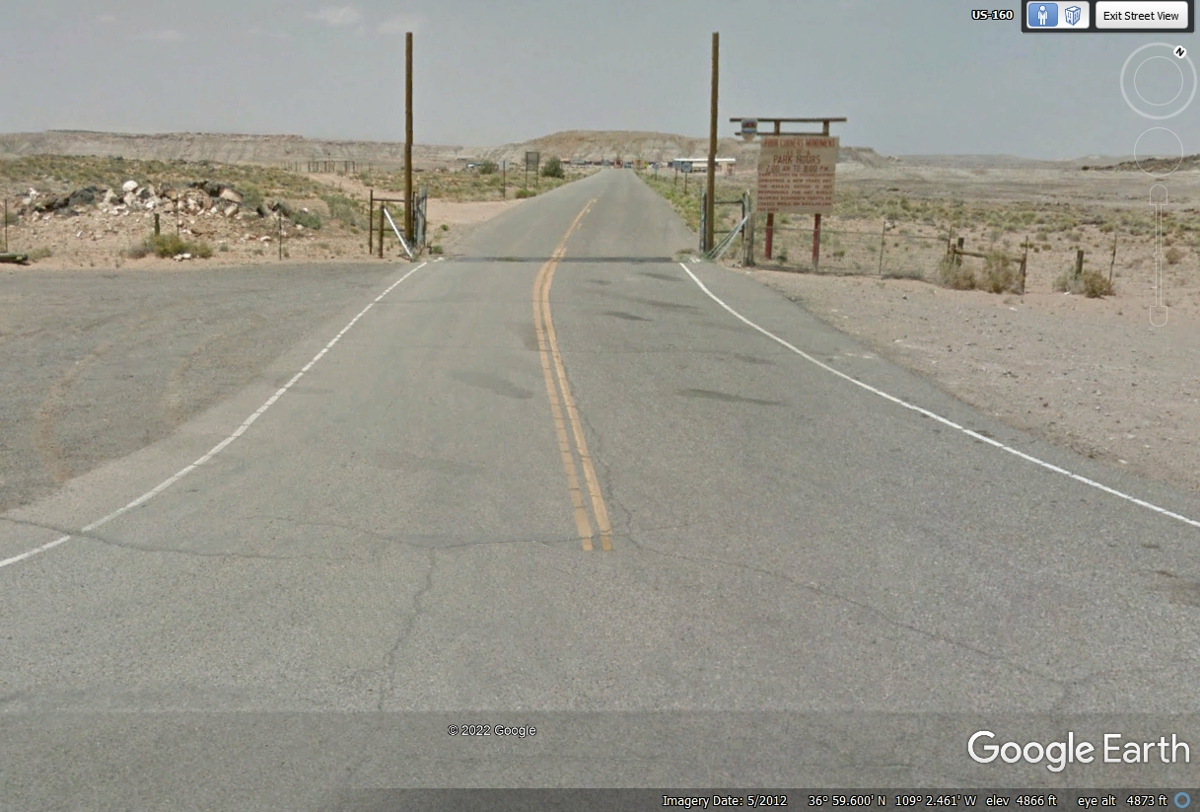
Here is the sign to turn left on an Indian road to the monument.
The sun has set here in the desert.
This is the view from US 160 as the Google Earth vehicle passed the entry road to the Four
Corners Monument in 2012.
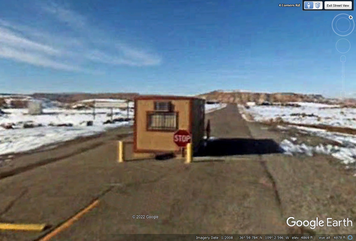
This "toll gate" is where tourists pay the entry fee currently
$8 per person as of May 2022. This Google Earth image is from January
2008. The low resolution of this image is typical of that year.
May / June 2022 Vacation Day 9 · · PAGE 20.
May 31, 2022:
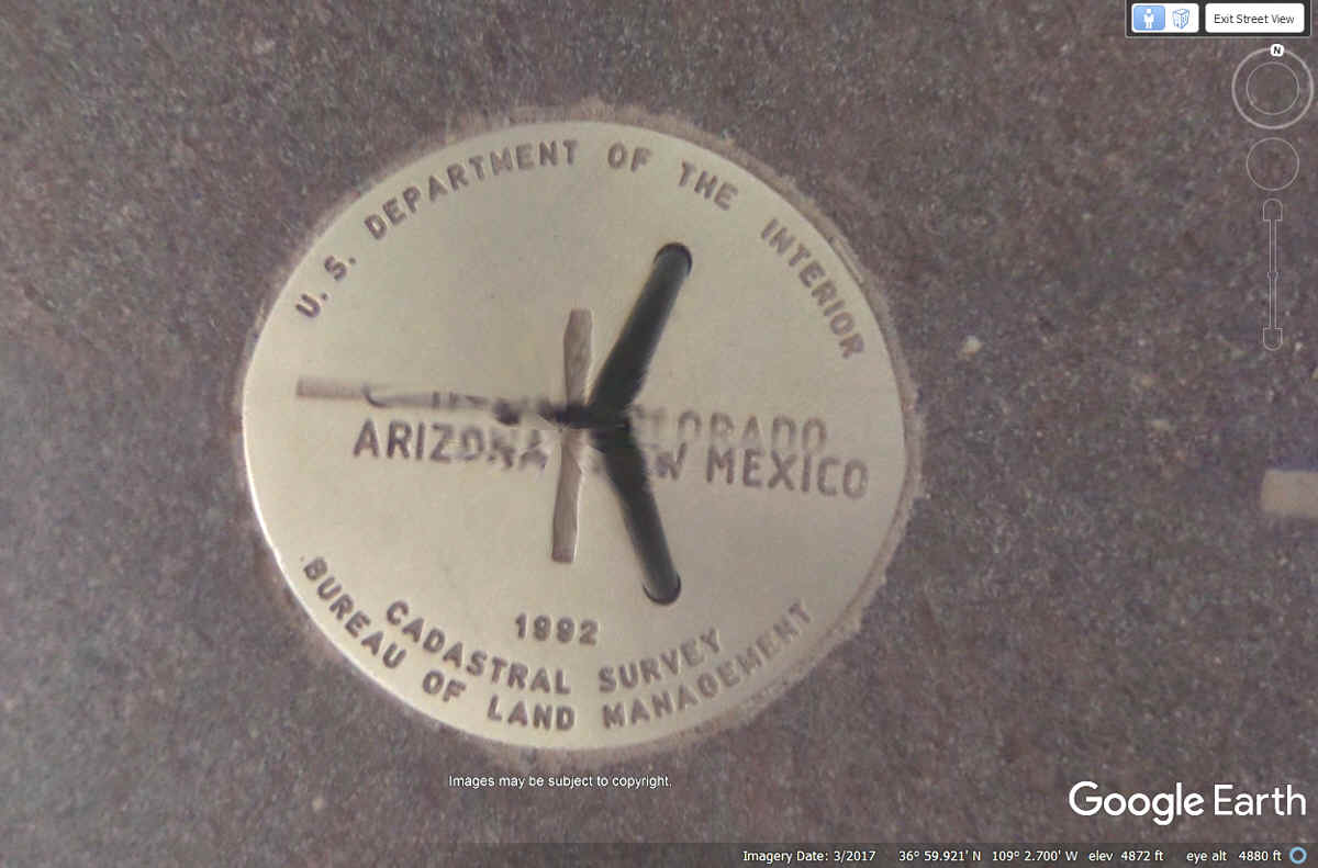
At the center of all this area is this formal medallion where the four
states come together. As you can see, the U. S. Department of the Interior
placed this medallion at the point where the states of UTAH, COLORADO, ARIZONA,
and NEW MEXICO meet.
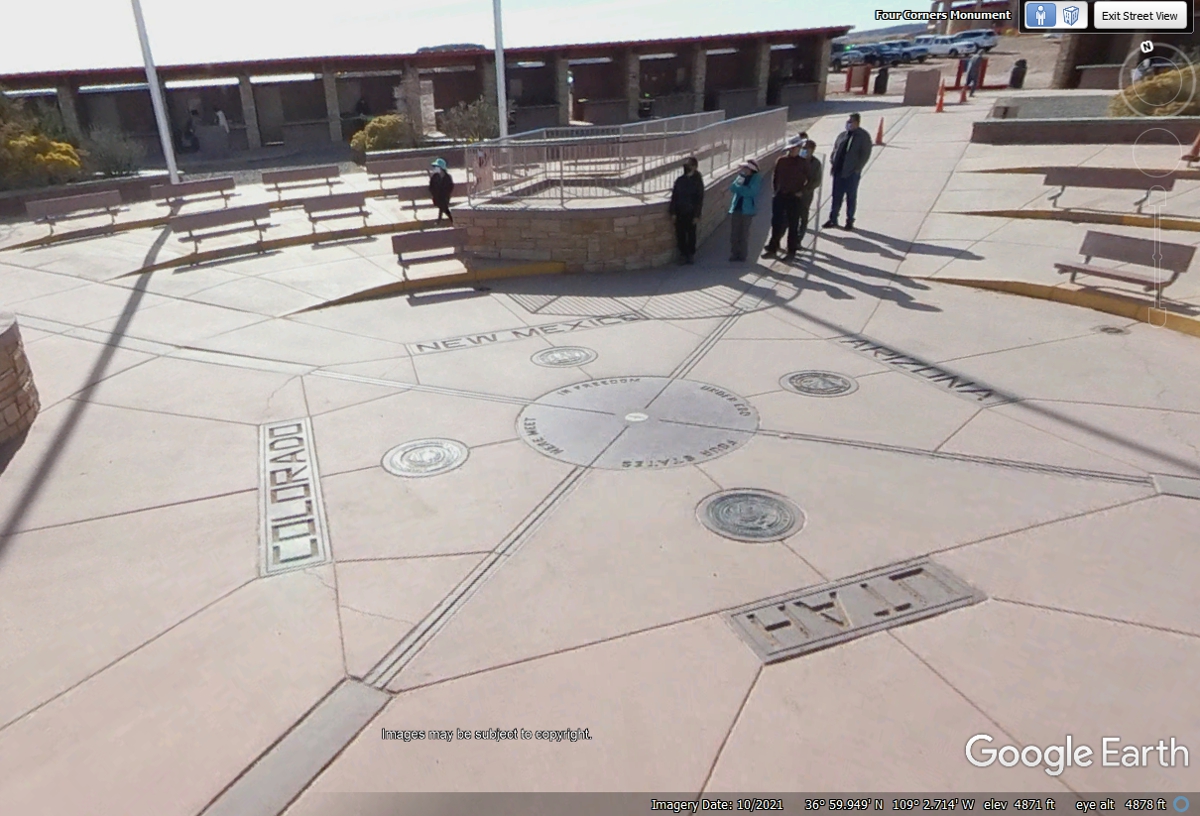
All of the structures around this area were built here by Native American
Tribes. This image shows one of FOUR wheel-chair accessible viewing
locations. I got this Google Earth image from the northwest side of the
disc seen above.
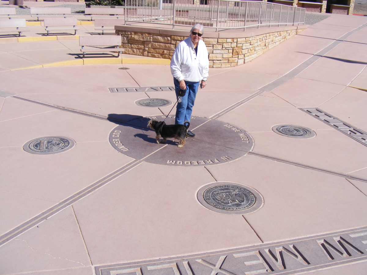
May 31, 2022: Here is my photo of Linda
and Chase standing on the Four Corners Medallion seen in the image above.
I am standing on the New Mexico side to put the sun at my back. Chase is
looking at something else as usual. We passed this way in the dark last
night and had
to come back here this morning in the daylight to get these photos.
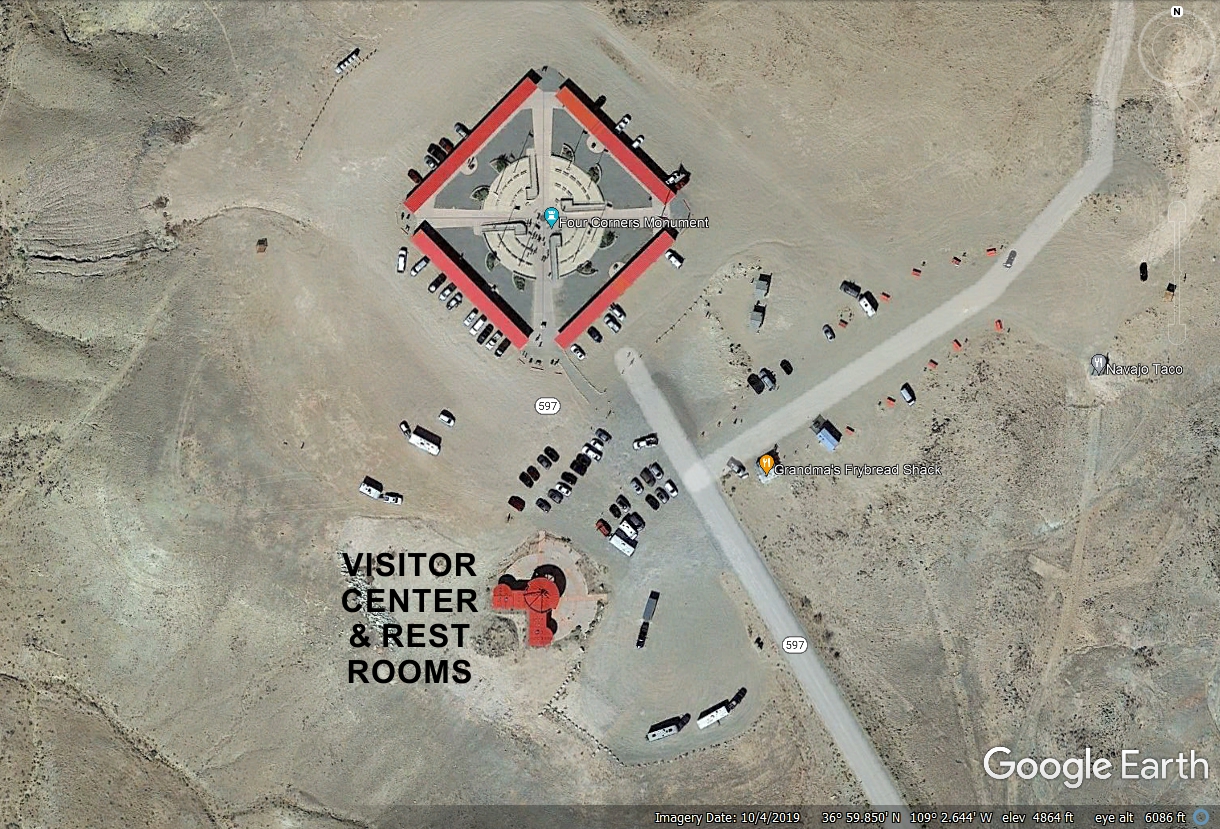
This Aerial View from Google Earth shows the visitor center and rest rooms
south of the quadrangle that has booths for the sale of hand-made Native
American arts and handicrafts. This has changed very much since my only
visit back in the 1980's. The Google Earth Compass rose in the upper right
corner shows NORTH is UP in the image below.
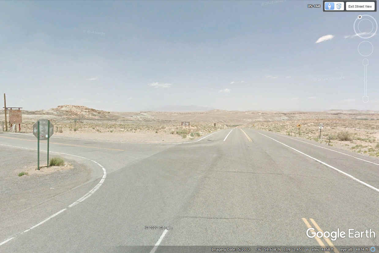
This is US 160 in the northwest corner of New Mexico to depart toward
Cortez, Colorado. We passed this way on May 30, 2022 after dark and again
the next day, May 31 during day light conditions coming to get a few photos seen
above.
As I was driving the Google Earth camera vehicle north on US 160
approaching the Four Corners Monument, this is the sign from New Mexico
designating the state line.
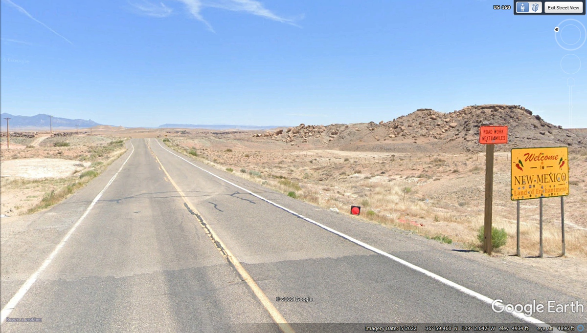
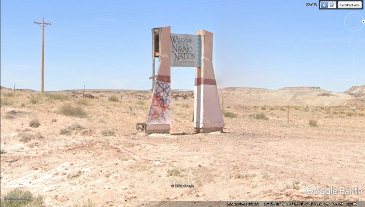
I turned the camera vehicle around to cross
the Arizona state line going south and found this simple sign with a larger sign south of it
with "Welcome to the Navaho Nation".
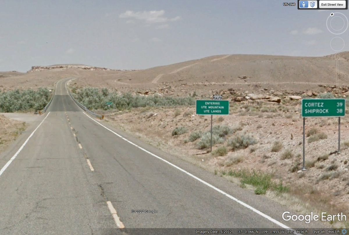
Let's get back in the northbound lane of US 160 and see what Colorado has
for us. The Google Earth Compass rose shows the highway on a northeast
heading at this point. This area is Ute Mountain, Ute lands. That is the Mancos River ahead.
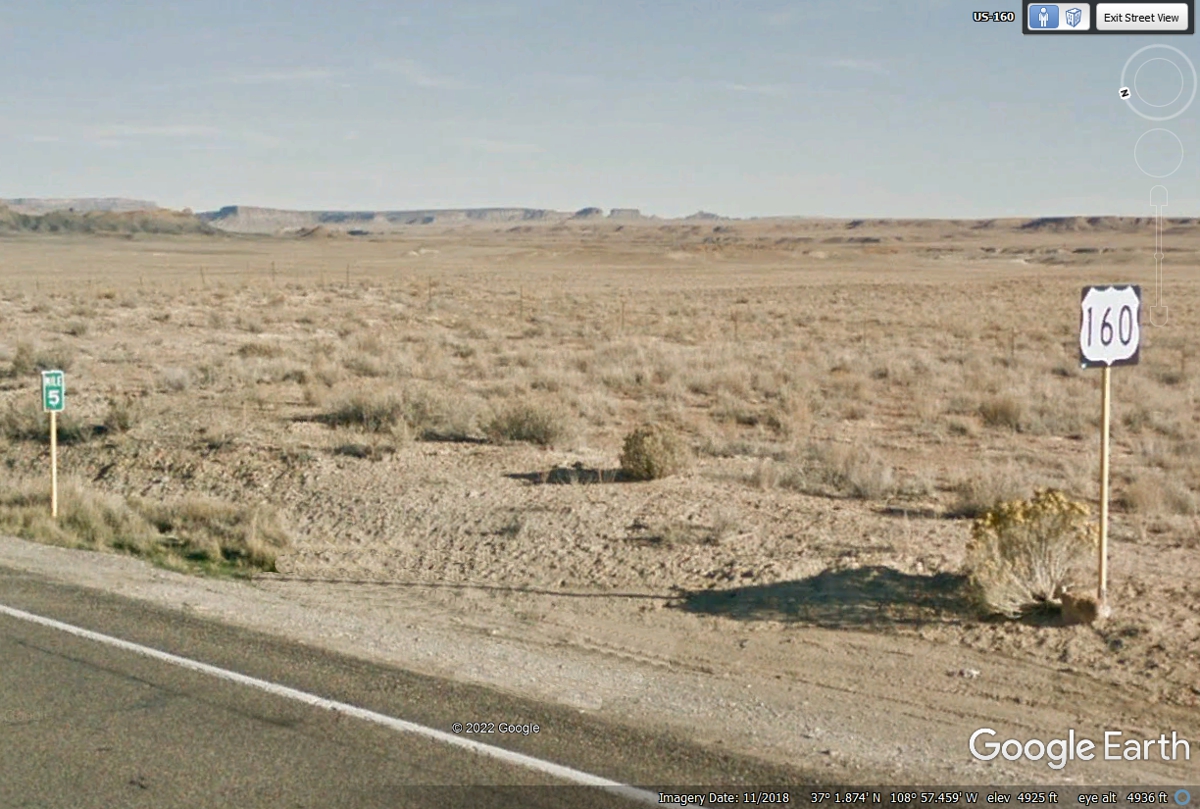
This is 5 miles inside southwest Colorado.
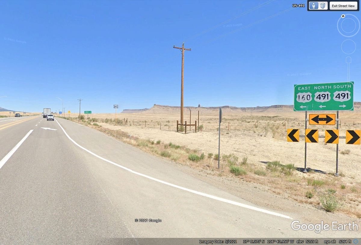
US 160 joins US 491 heading for Cortez, Colorado.
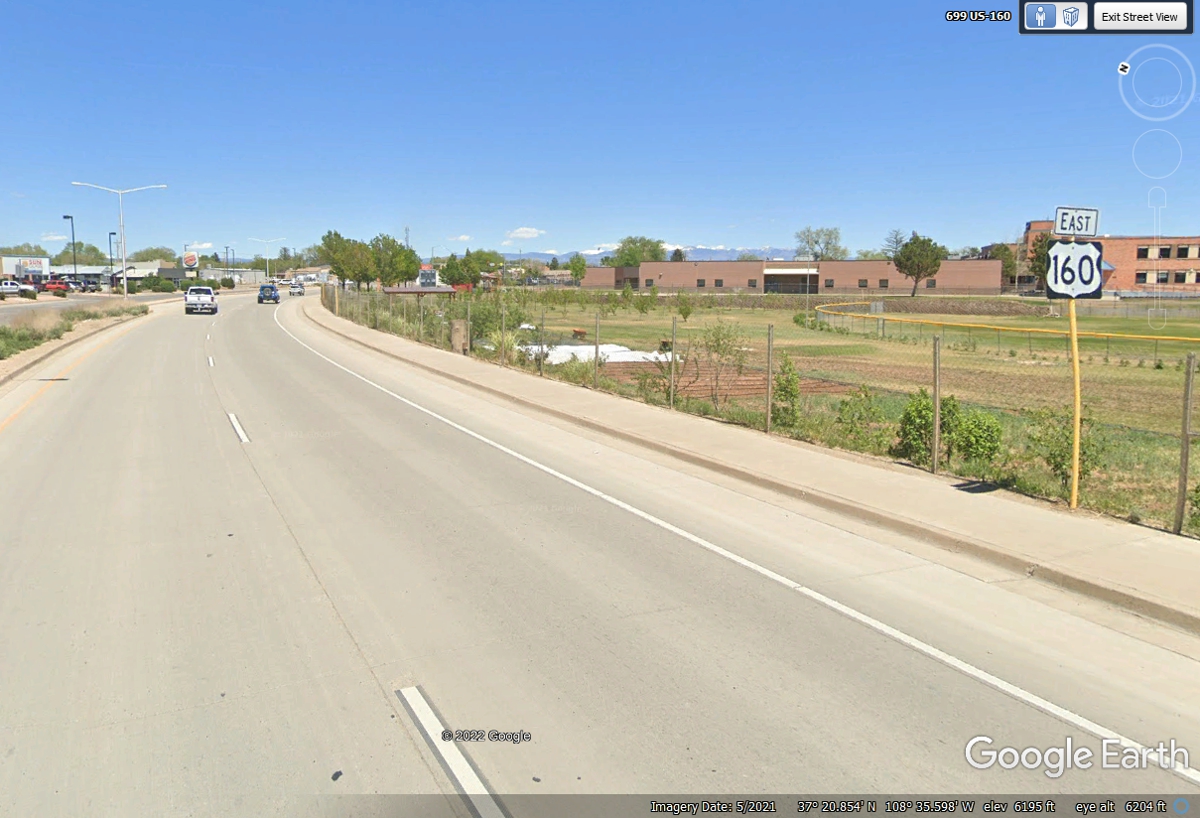
US 160 splits from US 491 as we head for our motel tonight on the East side
of Cortez when it is DARK. (A reminder that Google Earth images are usually taken on
bright sunny days.)
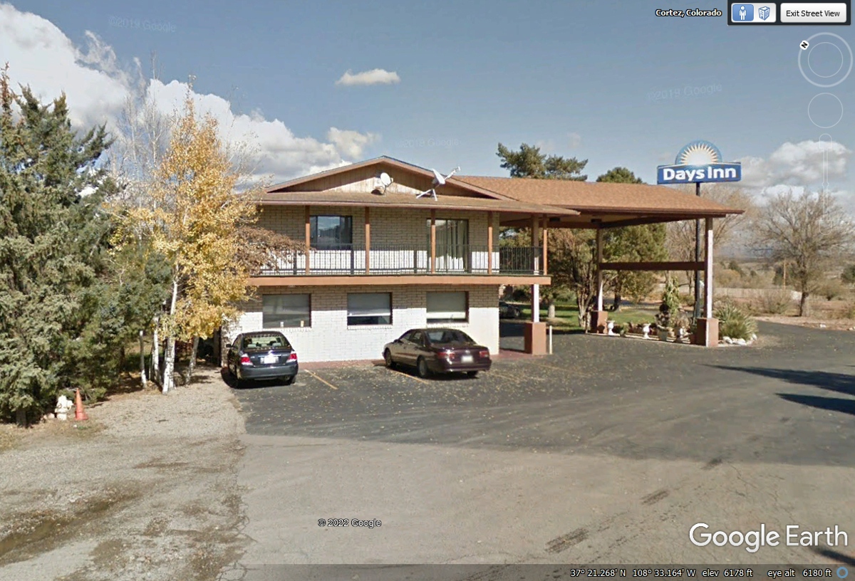
May 30, 2022: We had a long day from Flagstaff to the Grand Canyon to Monument Valley
and found the Four Corners attraction was closed. We continued to the Days
Inn located on the northeast side of the town of Cortez,
Colorado. I discovered I had made the reservation for May 31 when we
arrived. I had made an error when I reserved online with Bring Fido. We
were able to get a room for this evening of May 30, 2022 and would go back to the four corners
tomorrow morning.
| UTAH DESERTS & COLORADO RIVER - PAGE 21 | RETURN TO WESTERN TOUR INDEX PAGE |