May / June 2022 Vacation Day 8 · · PAGE 18.
May 30, 2022: Today was the
introduction to the South Rim of the Grand Canyon. There is much more to
see in the coming days in other nearby locations in northern Arizona, Utah, and
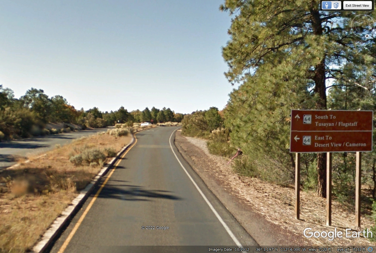
Colorado. The intersection ahead is where AZ 64 coming from the south
entrance turns Eastward toward Desert View point. This is also the route
to exit the park going East beyond Desert View. Turn LEFT ahead as the
bottom part of the sign indicates with the arrow to follow AZ 64 EAST.
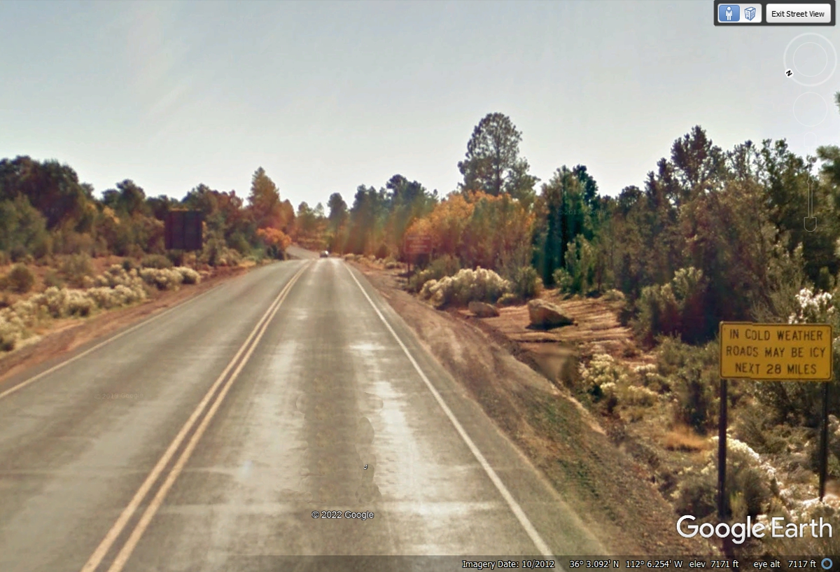
This Google Earth image from October 2012 shows some of the brilliant fall colors
south of the Grand Canyon.
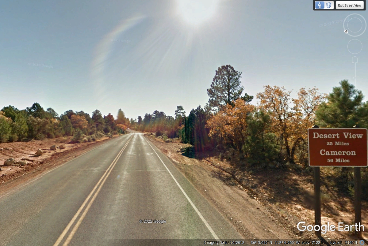
Desert View is a good place to see more of the Grand Canyon before leaving
the park to the East. Cameron is the small town on US 89 north of the end of
Arizona route 64 about 56 miles from this location..
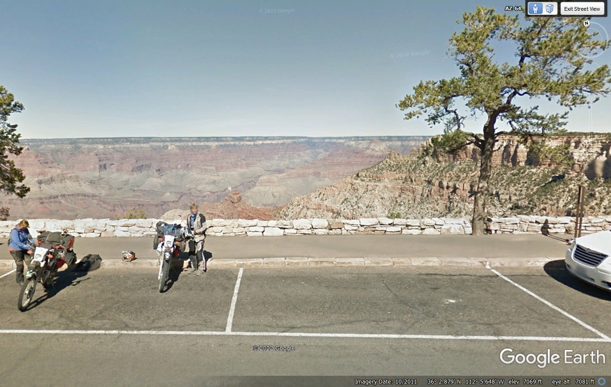
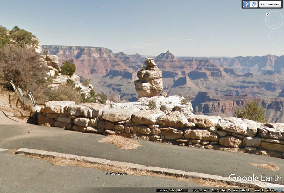
Here is a surprise as Arizona route 64 comes close to the south rim of the Grand
Canyon.
Duck on Rock? I wonder how they got that name? This unusual
DUCK rock formation is less than 3 miles East from the motor cycles seen in the
image above.
Desert View Watch tower is not far from the Grand Canyon National Park Eastern Exit.
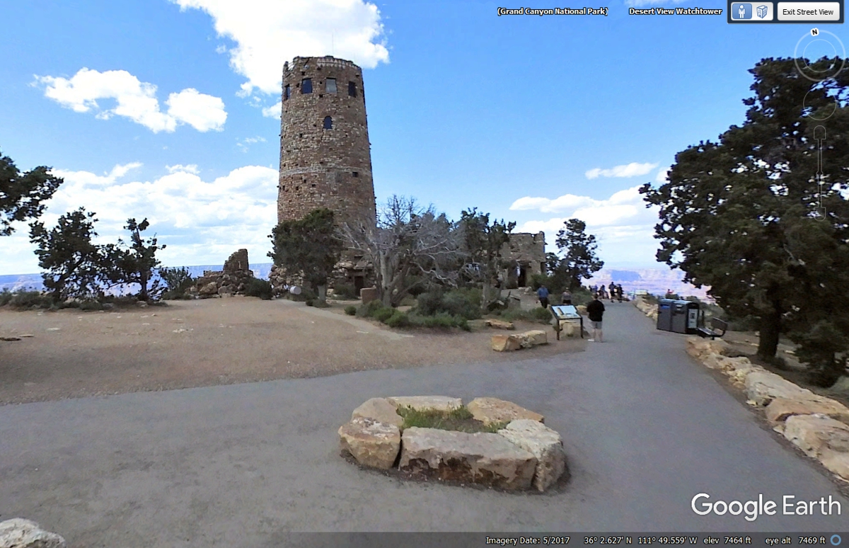
The Eastern Grand Canyon access location is south of the tower seen in the
image above.
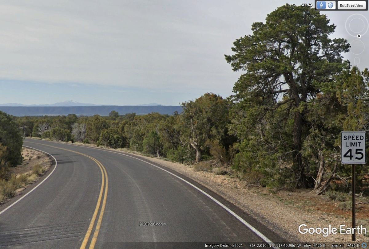
This is the first speed limit sign heading East away from the Grand Canyon
East Entrance. US 89 is our next route about 30 miles from the entrance we
have left behind us.
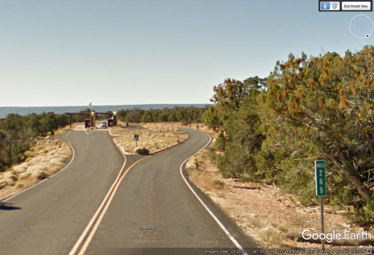
This image is what Grand Canyon National Park visitors encounter when
entering the park from the East. The sign has no letters on the inside of
the park boundary.

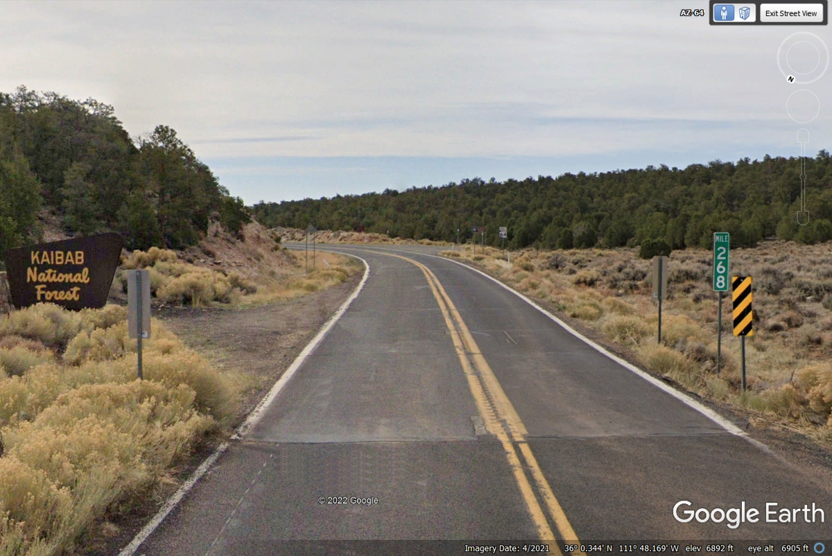
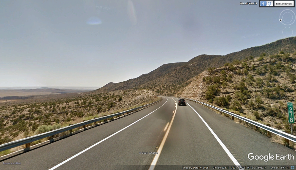
This the sign where the Kaibab National Forest begins going East near mile
marker 268 on Arizona Route 64 when the pavement also changes.
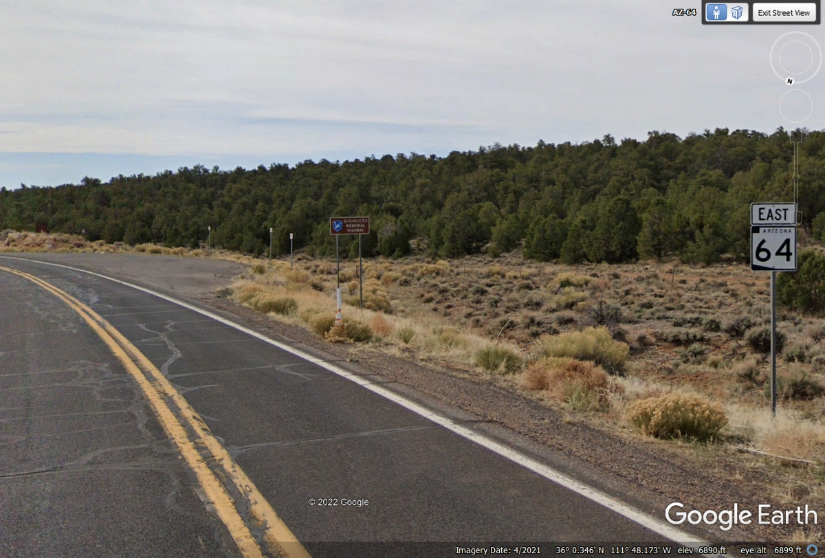
Now that Arizona route 64 is out of the Grand Canyon National Park, the
state has posted a new road sign. Notice there are plenty of trees on both
sides of the highway.
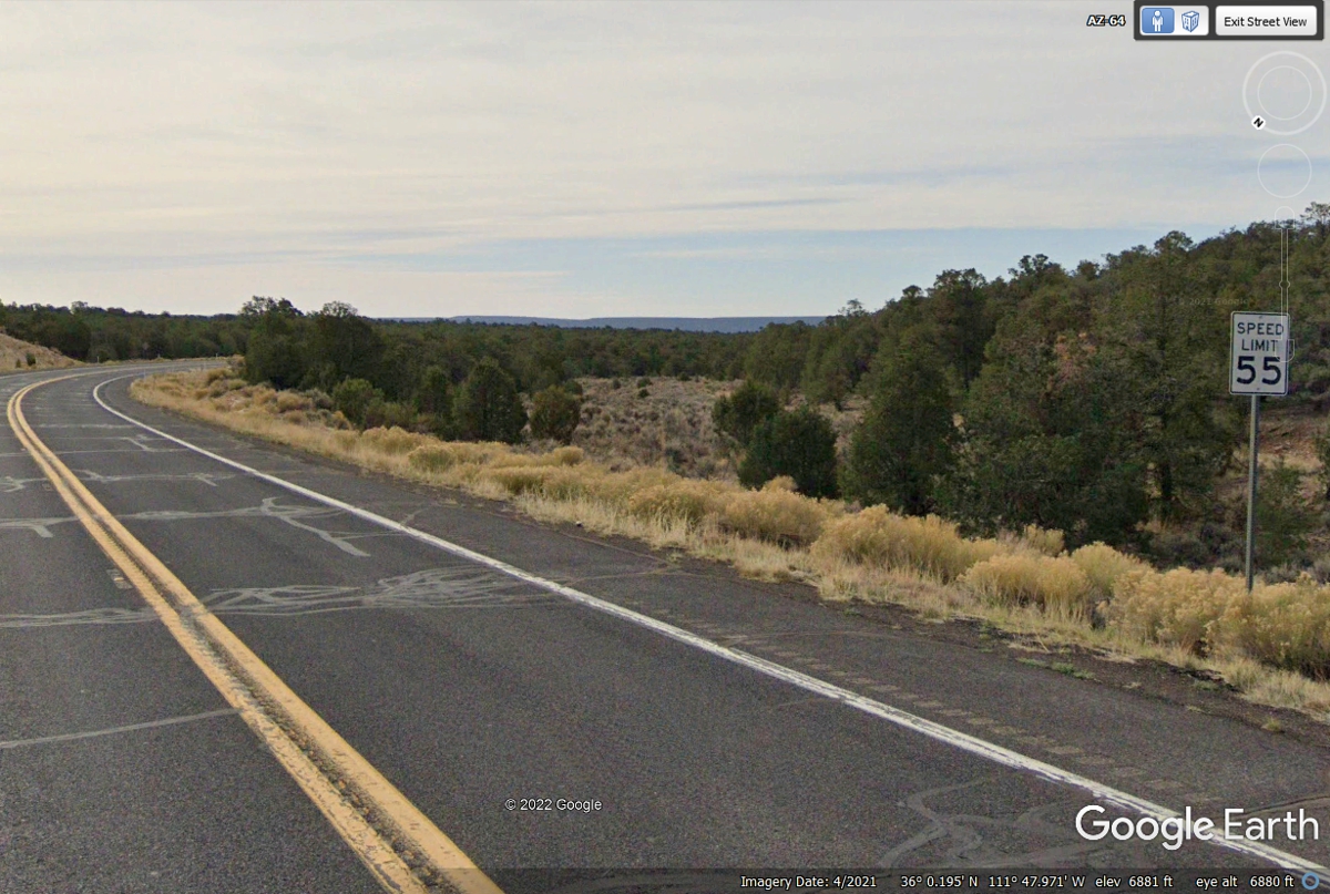
The speed limit on this Arizona state highways is now set at 55 MPH as we
get further away from the national park.
With only FIVE miles difference, the number of trees on both side of the
highway are becoming less dense.
We are approaching a desert climate as the speed limit is now posted as 65
MPH.
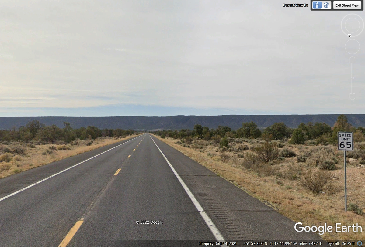
In less than 10 miles, the surroundings have changed from trees to desert
as the terrain is becoming a lower elevation.
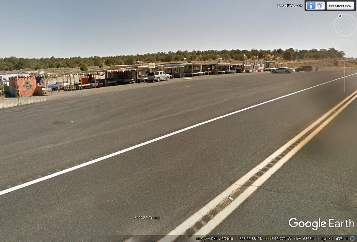
This is the first of TWO Navaho Indian shops alongside the highway.
Hand-made jewelry and other items are typically sold here. The trees here
are from nearby water from he Little Colorado River. The image below is
from June 2018. Google Earth shows the elevation here as 6,363 feet above
sea level.
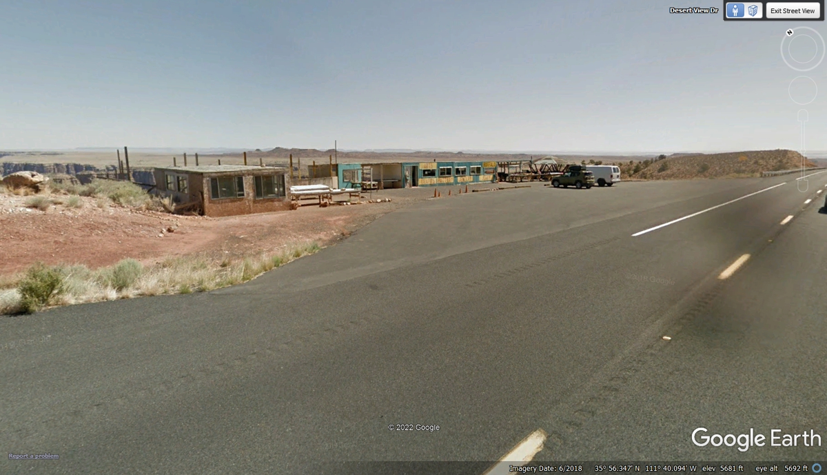
This is the second area of Indian roadside shops less than 3 miles from
the image above. The elevation here is 5,681 feet above sea level closer
to the desert floor.
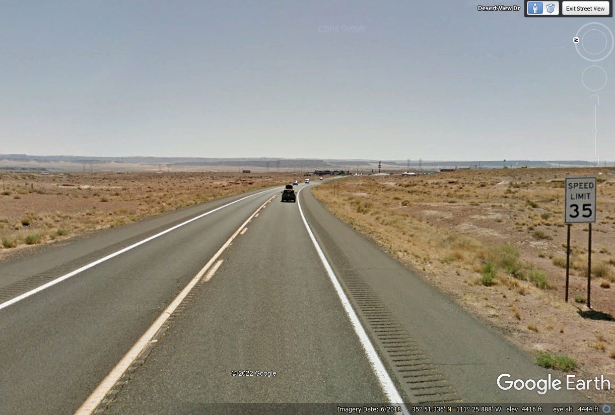
US 89 is less than half a mile from this location where the speed limit is
lowered to 35 MPH.
The round about (British) or traffic circle as we call it is the end of AZ
64 and the junction with US 89.
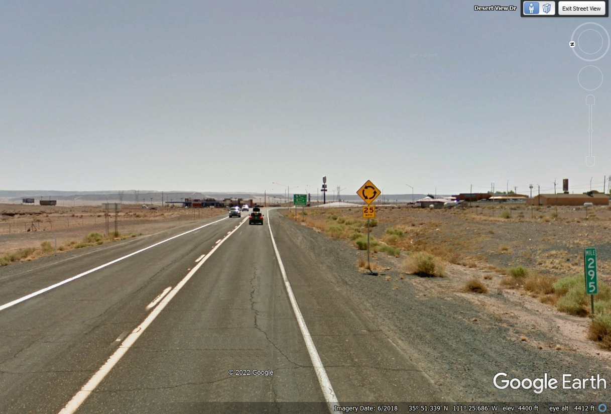
This last sign ahead of the intersection uses graphics to show which way
to get through the intersection. There is that British label ROUNDABOUT
that must be preferred by someone at the Arizona Department of Transportation.

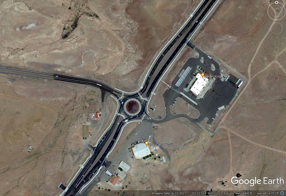
US 89 South goes back to Flagstaff from this intersection south of
Cameron, Arizona. An intersection like this one in the desert always has
gas stations and a restaurant or two as part of the infrastructure. We
bought fuel at the top of this hill at Speedys here at Cameron, Arizona for only
$4.359 per gallon..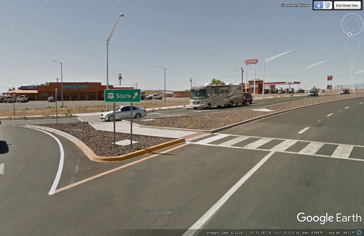
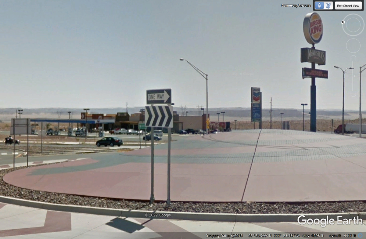
This image looking across the roundabout shows another gas station with a
Burger King fast food store on the northeast quadrant from the circle. We
got our usual order from Burger King for our dinner meal.
This aerial view from Google Earth has an older date in the bottom
margin. The three images above match what is seen in this aerial image
below.
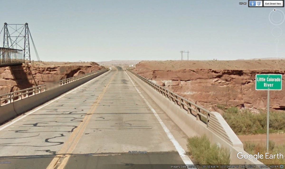
Going NORTH on US 89 in Google Earth leads to this bridge across the
Little Colorado River. This is an older image marked from 2011.
Looking at the four images above shows how much has changed since this bridge
image below. Google Earth may not update these ground view images for as
much as 3 years.
| ARIZONA & UTAH DESERTS - PAGE19 | RETURN TO WESTERN TOUR INDEX PAGE |