Heading South in Tennessee and Georgia · · PAGE 38.
July 27, 2019: The
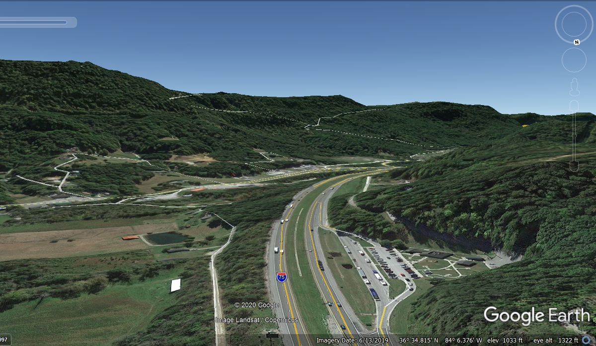
elevation of the land crossing from Kentucky into Tennessee is around 1030 feet
above sea level. The route of I-75 will take us up to the top of the
mountain ahead and travel along the peak ridge before coming down closer to
Knoxville, Tennessee. The rest area seen below is where we stopped for a
break and to change the GPS memory card.
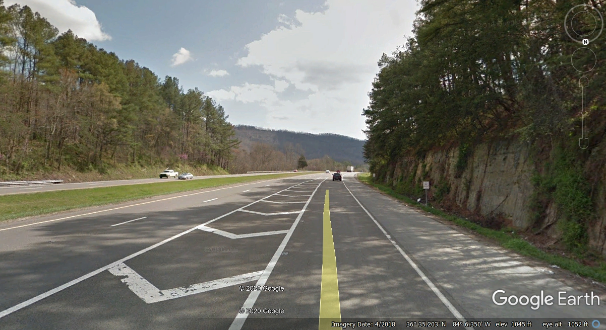
Some of the granite rock was blasted away to provide the room needed for
the interstate highway heading into the mountains ahead to the south.
Check the elevation number below the word GOOGLE in the bottom right corner of
this image and you will see the elevation leaving the welcome station is 1,045
feet.
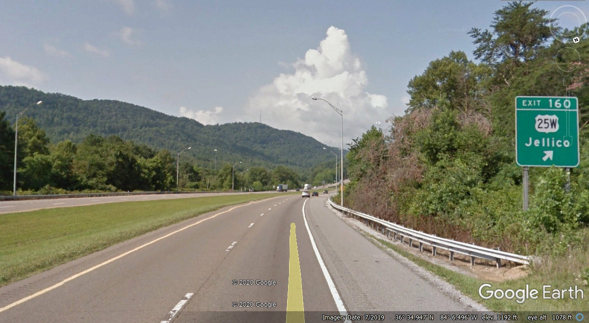
About 1/3 of a mile further south, the elevation is 1,192 feet for an
increase of 147 feet. Looking at the road ahead, you can see where the
steeper climb begins. At mile marker 159, the elevation is 1,364
feet. At mile marker 158 the elevation is 1,574 feet. At mile marker
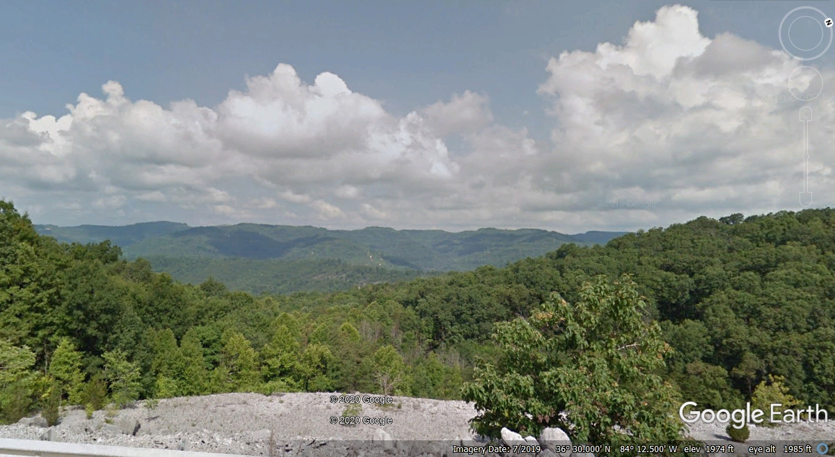
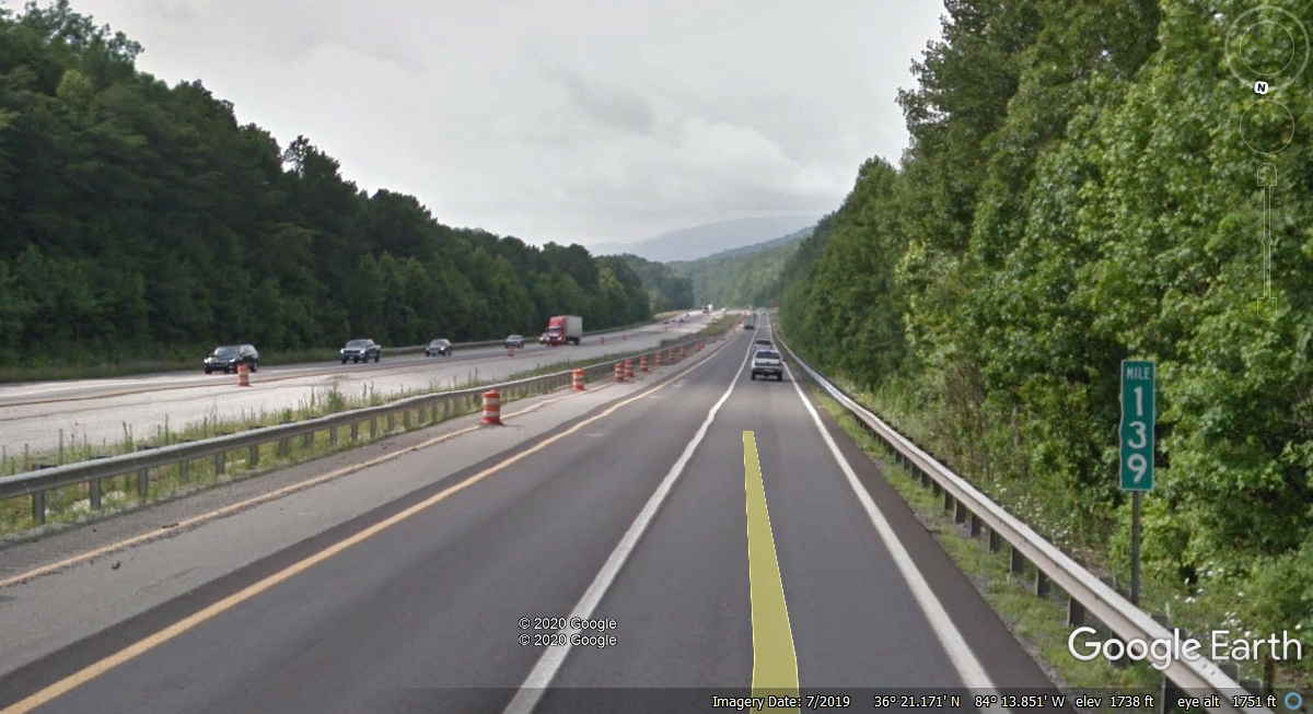
157 the elevation is 1,738 feet. At mile marker 156 the elevation is 1,946
feet. The elevation peaks just south of Exit 156 at 1,974 feet.
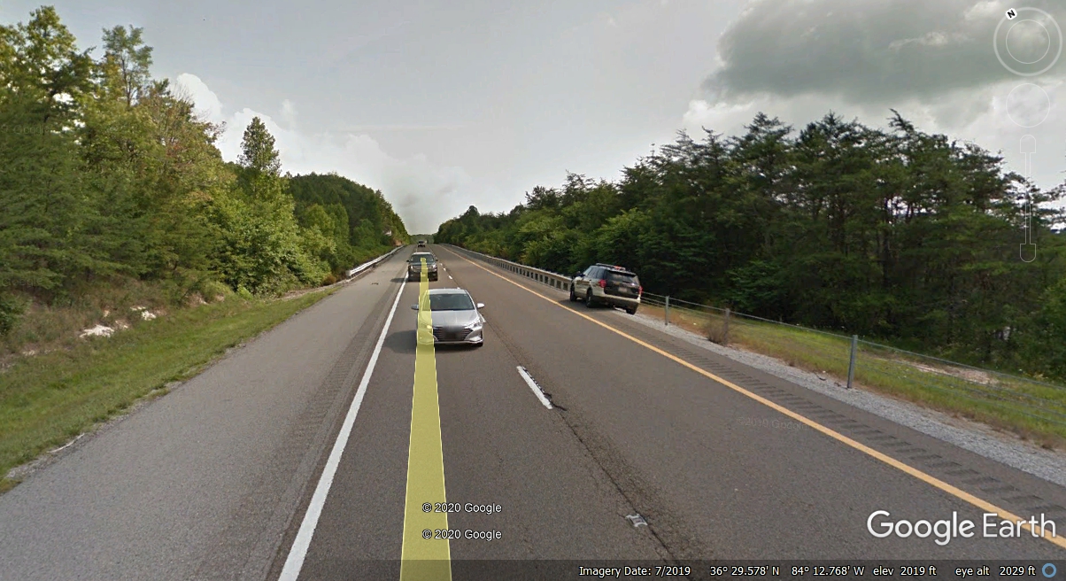
There are multiple peaks along the top of the mountain. At one point, the
elevation reaches 2,085 feet with trees on both sides of the road blocking the
view of the adjacent valleys and mountains.
Here is the first spot along the mountain top where the view to the west
was NOT blocked by trees close to the roadway.
Just over the hilltop south of the image above, a Tennessee State Trooper
was laying in wait for speeding vehicles. The elevation here is 2,025 feet
on level ground
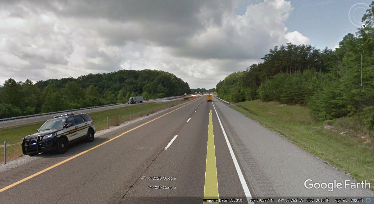
Following a Google Camera vehicle probably saved these folks a speeding
ticket. Mile marker 150 is 2,200 feet above sea level. The view
there is blocked by trees on both sides of the highway. Mile marker 149
elevation is 2,107 feet. Mile marker 148 elevation is 2,119 feet. Mile
marker 147 is 2,232 feet. Mile marker 146 elevation is 2,083 feet
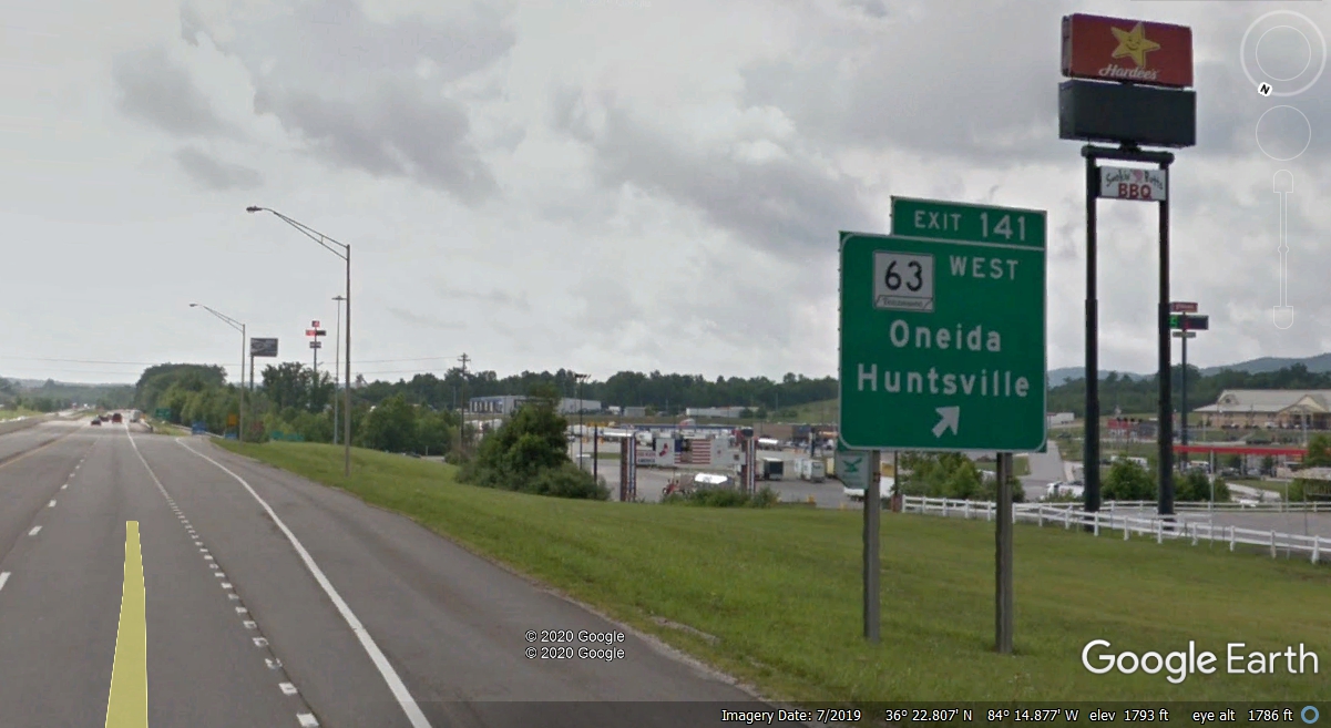
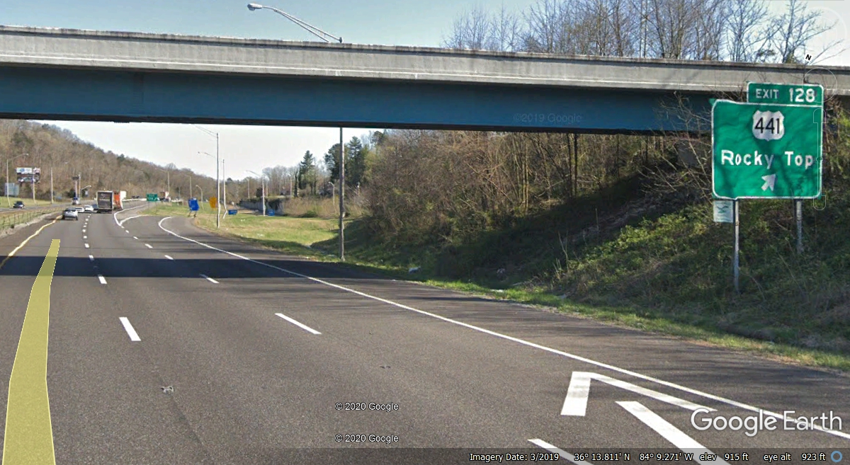
I-75 Exit 141 in Tennessee is after the first "step down" from the top of the
mountain to 1,775 feet. A couple of truck stops and some fast food
restaurants are located there.
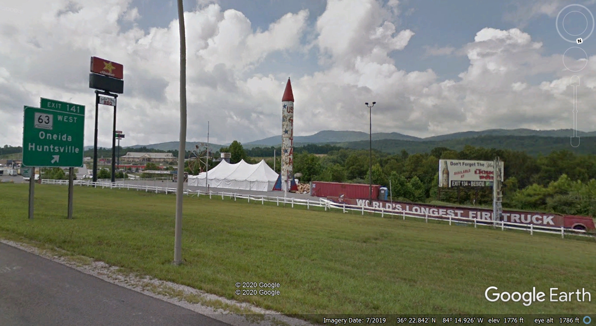
Here are some of the diversions to quiet down the kids after a long ride.
Mile marker 139 is the where the final descent to the valley begins from
elevation 1,738 feet above sea level. Marker 138 elevation is 1,603
feet. Marker 136 elevation is 1,176 feet.
Down on the valley floor, Exit 134 elevation is 1,041 feet almost the same
as when we crossed the Kentucky / Tennessee state line. This exit has some
history for me as the first commercial satellite antenna I ever installed was
for the cable system in La Follette, Tennessee in the year 1977.
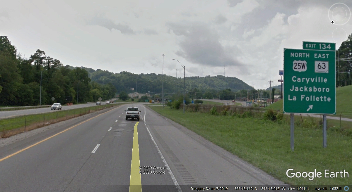
The significance of this exit to US 441 is that it's northern end of the
highway is about 1/4 mile from this exit where it connects to US 25W. The
south end of US 441 is in Miami, Florida. It passes through big and small
towns in Florida and Georgia. It is also the only US Highway passing north
and south through the Great Smoky Mountains National Park in Tennessee and North
Carolina. US 441 connects Kissimmee and Saint Cloud in Florida. I
drive on it any time I go anywhere as it is just one block from where I am
writing this web page.
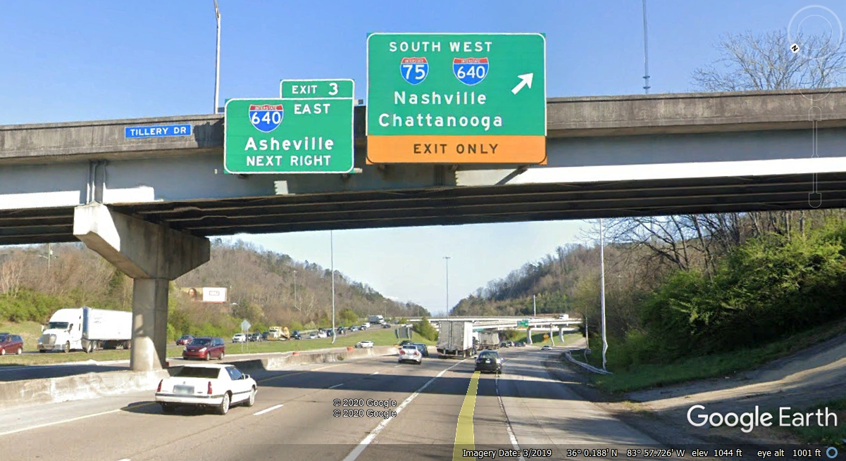
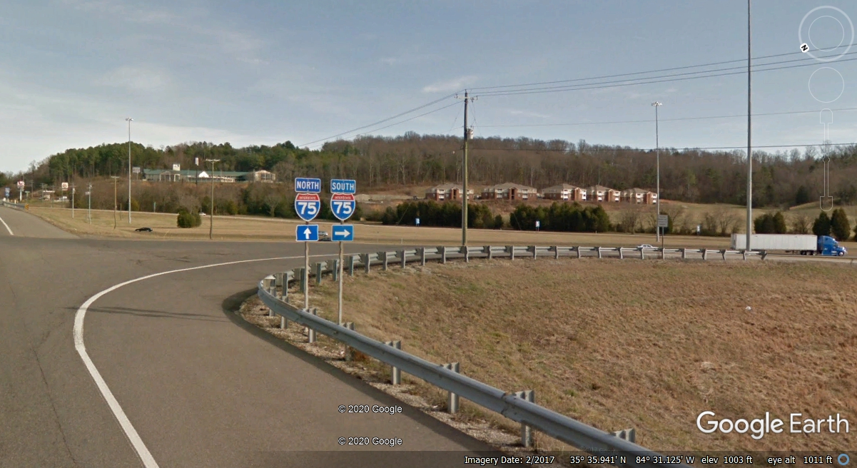
I-75 in Knoxville has been remarked for a couple of years now. This
exit is south of mile marker 108 for I-75. The exit numbers used here are
for Interstate 640 bypass around Knoxville on the north side of town. What
this says is that 3 miles "south" on I-75 from here goes to the west
end of I-640 at the main route of Interstate 40 which is our path toward home
passing Chattanooga into Georgia.
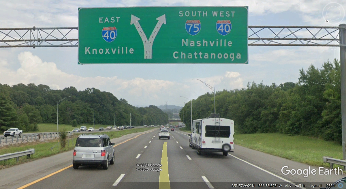
Approaching the end of I-640 you see this sign to put you on the correct
route WEST on I-40 with I-75 along for the ride for a few miles. This exit
for I-40 is number 385 where I-75 merges with I-40. Mile marker 385 is on
top of the bridge where I-75 North passes under I-40 west of downtown Knoxville.
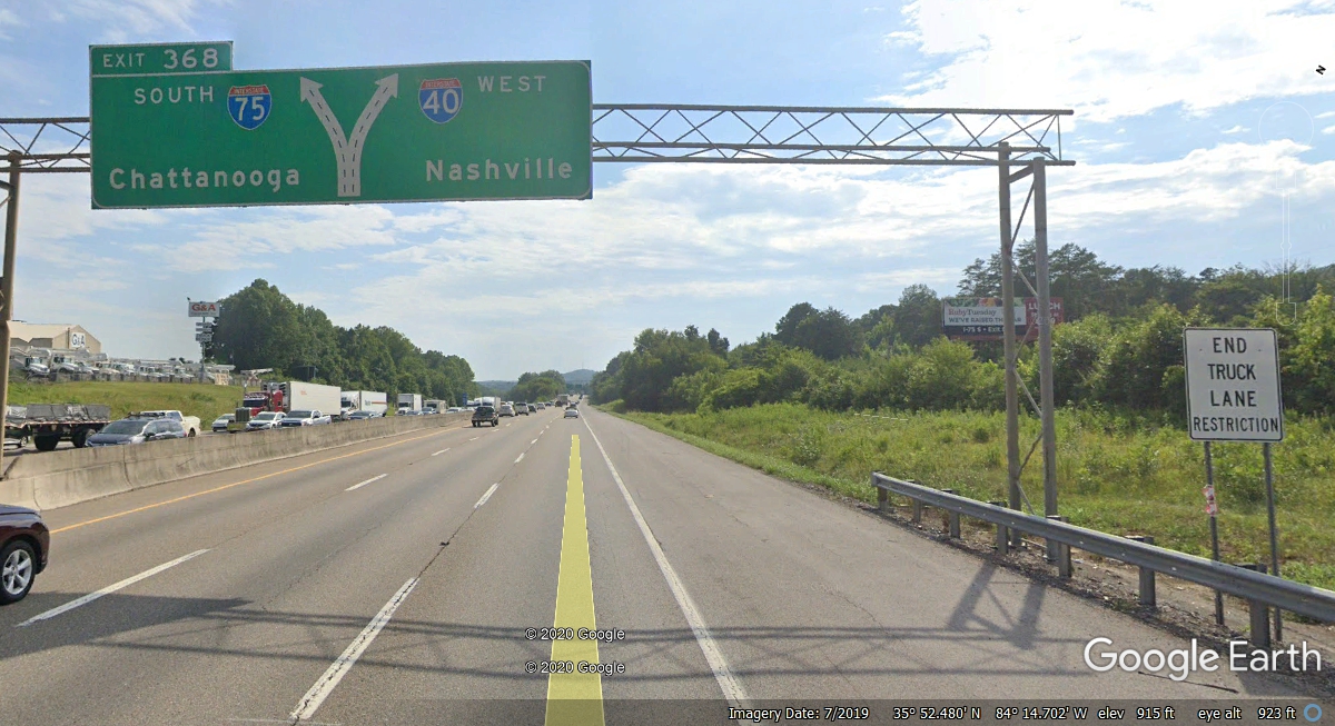
This exit to go south on I-75 is 17 miles from where we merged with I-40
in Knoxville. Afternoon traffic jams heading EAST toward Knoxville are
common here.
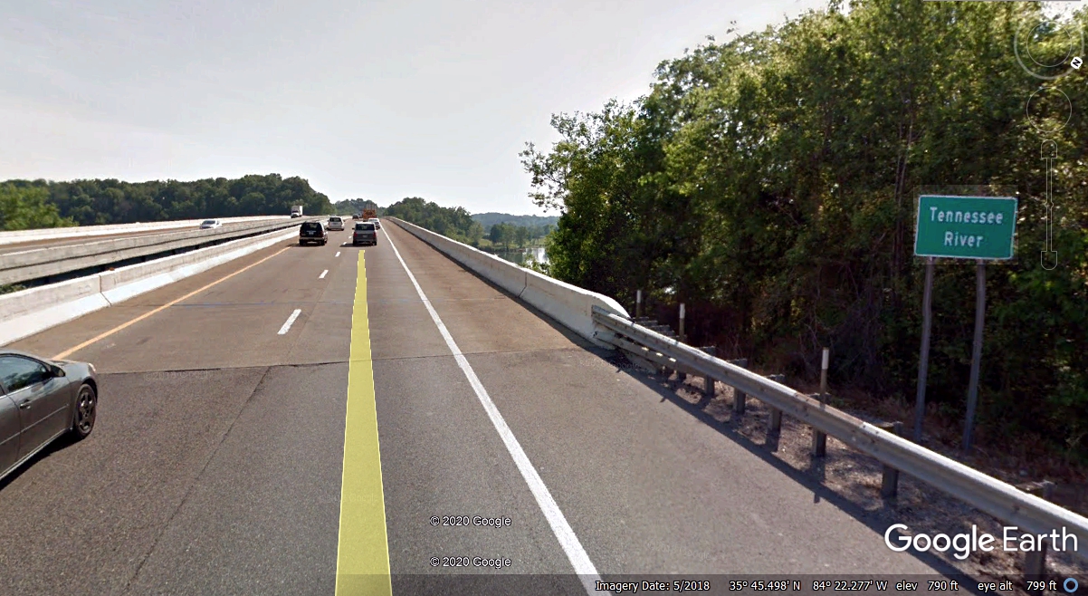
The next landmark on I-75 south is crossing the Tennessee River about 74.3
miles north of the Georgia state line with Tennessee.
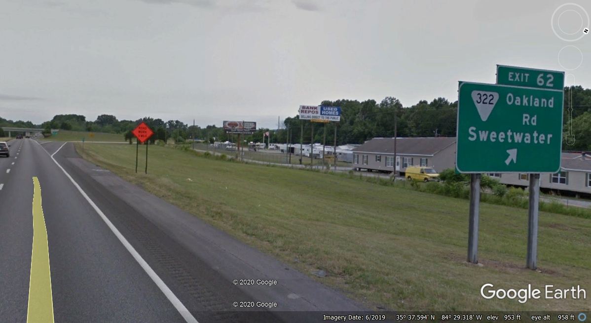
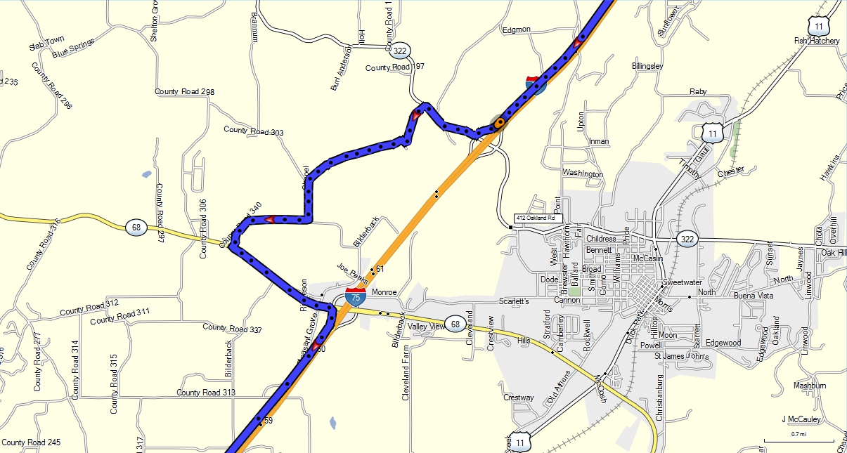
When we got to I-75 Tennessee exit 62, a deputy sheriff car had the
highway blocked with all traffic getting off here. This scenario is why I
have my GPS in the car. I know that the large trucks and most other
traffic are being routed over to US 11, through the town of Sweetwater, then
back to the Interstate via Tennessee Route 68, a distance of about 4 miles not
to mention the backed up traffic in the detour.
As I was taking the exit ramp, I noticed a sign pointing to a KOA
Campground 0.6 miles west of the exit. I turned right and headed over
there. It was 8:36 PM when we got off the interstate highway. It was
8:47 PM when we got on the ramp southbound at Exit 70 from Tennessee highway
68. When I was creating this map below, I looked at the Google Earth car
route and found they did exactly what I did on that route. The KOA was at
the first turn after leaving route 322. The remainder of the path over to
route 68 was just farm and pasture land. There were no other cars taking
that route when we went through. Eleven minutes was not bad considering
how long I could have been stuck in traffic following all the southbound traffic
on the detour through the little town of Sweetwater, Tennessee on route 322 and
US 11. Route 68 can handle lots of traffic between I-75 and US 11. I
know because I would use that route 68 all the way over to US 411 and up to a
laboratory Olson Technology (my employer) had over there for a number of years.
We turned this corner at 8:47 PM before it got really dark and headed
south on familiar territory that I used to come up from East Ridge, Tennessee to
this exit heading over to US 411 and the lab north of Madisonville.
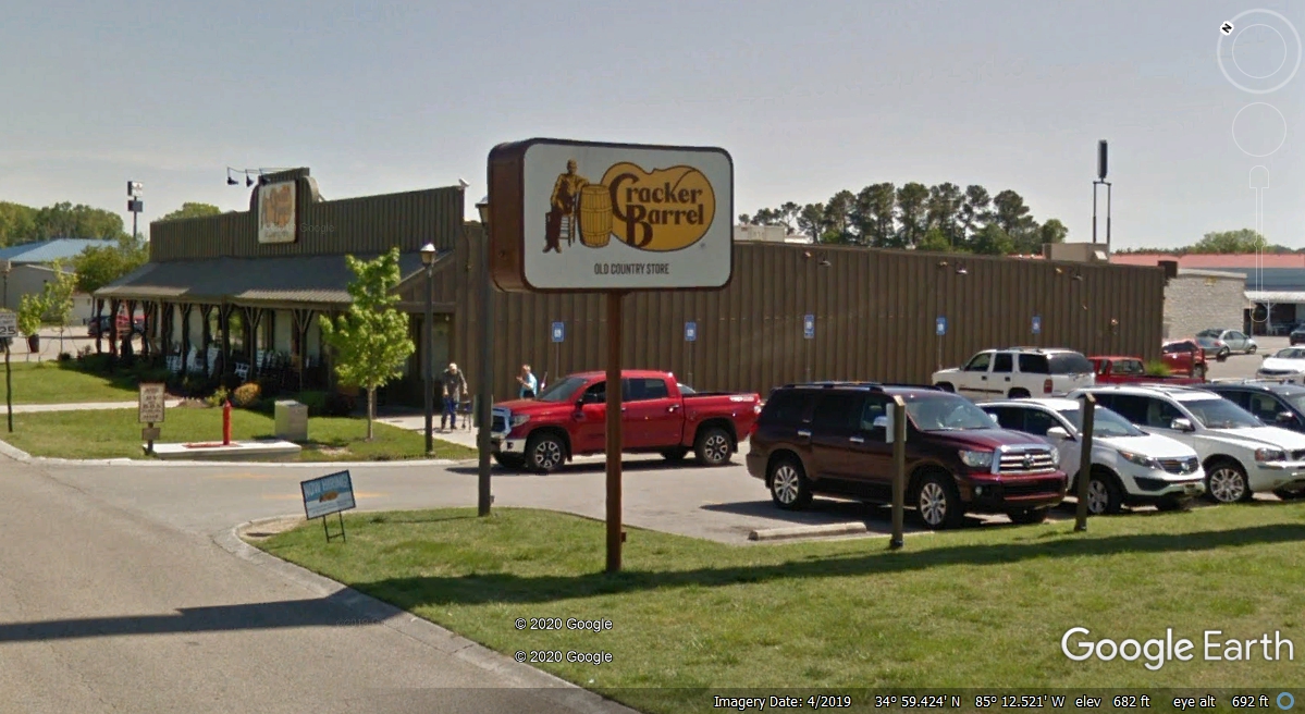
We stopped at I-75 Exit 1 at the Cracker Barrel in East Ridge to get a
late dinner or breakfast at 9:38 PM. It was VERY DARK, not like this image. We
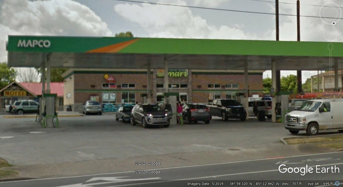
were out the door at 10:20 PM and across the street at Mapco to buy fuel at 10:23 PM.
I usually get the fuel pump on the left side of this image. This is
the OTHER gas station I used when I lived nearby between 2001 and 2012.
The GPS shows us pulling out full of fuel at 10:28 PM and it is still VERY
DARK We came 338 miles from our fuel stop in Kentucky. This exit has
the lowest gas prices before going into Georgia and we can get down to Valdosta,
Georgia before needing fuel for the final leg of the trip home. As for
now, it is time to get back on I-75 and get down the road to our motel.
The run down to my home town of Dalton, Georgia was good right up to the point I had passed exit 336 and got into a traffic jam. It was 10:46 PM when we got down to 5 MPH. I had to tough it out up to exit 333 where I got off at 10:59 PM. When I got up on the top of the ramp, I could see the traffic jam went further down I-75. I went over to Old US 41 and started down toward an exit I hoped would be past the traffic problem. I got on I-75 at exit 326 which was two exits south of where I got off in Dalton. It was smooth going until we got to mile marker 300 at 11:35 PM and we hit a short little bottle neck that cleared in about three minutes and we got back up to the speed limit all the way to the exit for our motel near Marietta, Georgia. We pulled into the parking lot at 12:13 PM to check in. I moved the car around the back side of the motel to an entry door closer to the room. It was 12:30 PM when the GPS stored the final waypoint of the day.