US 2 - Manistique, Michigan Harbor and Lake Michigan Shore · · PAGE 27.
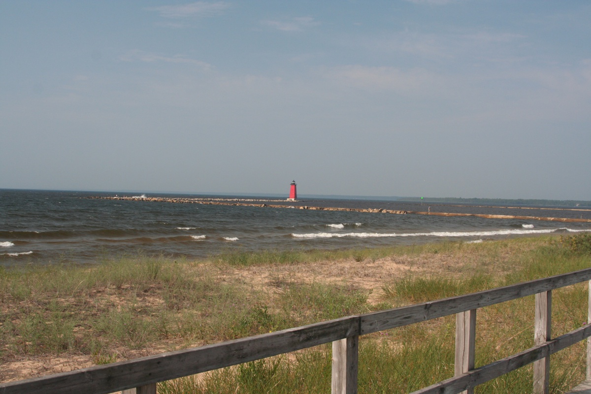
July 26, 2019: This is my wide
angle image of the Manistique Light House taken from the board walk showing most
of he breakwater rock walls out to the light house.
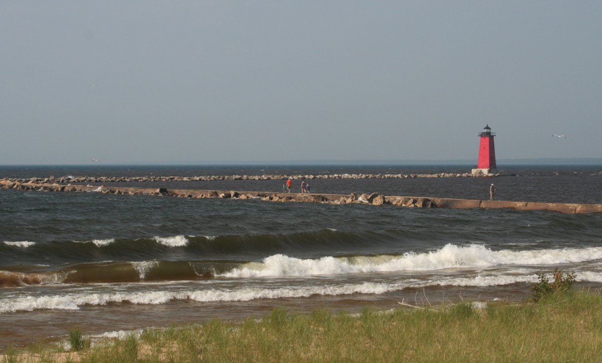
People can and do walk out to the light house along the top of
the levy. This image is a telephoto shot from the same spot seen above on
the boardwalk.
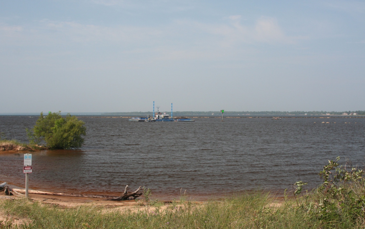
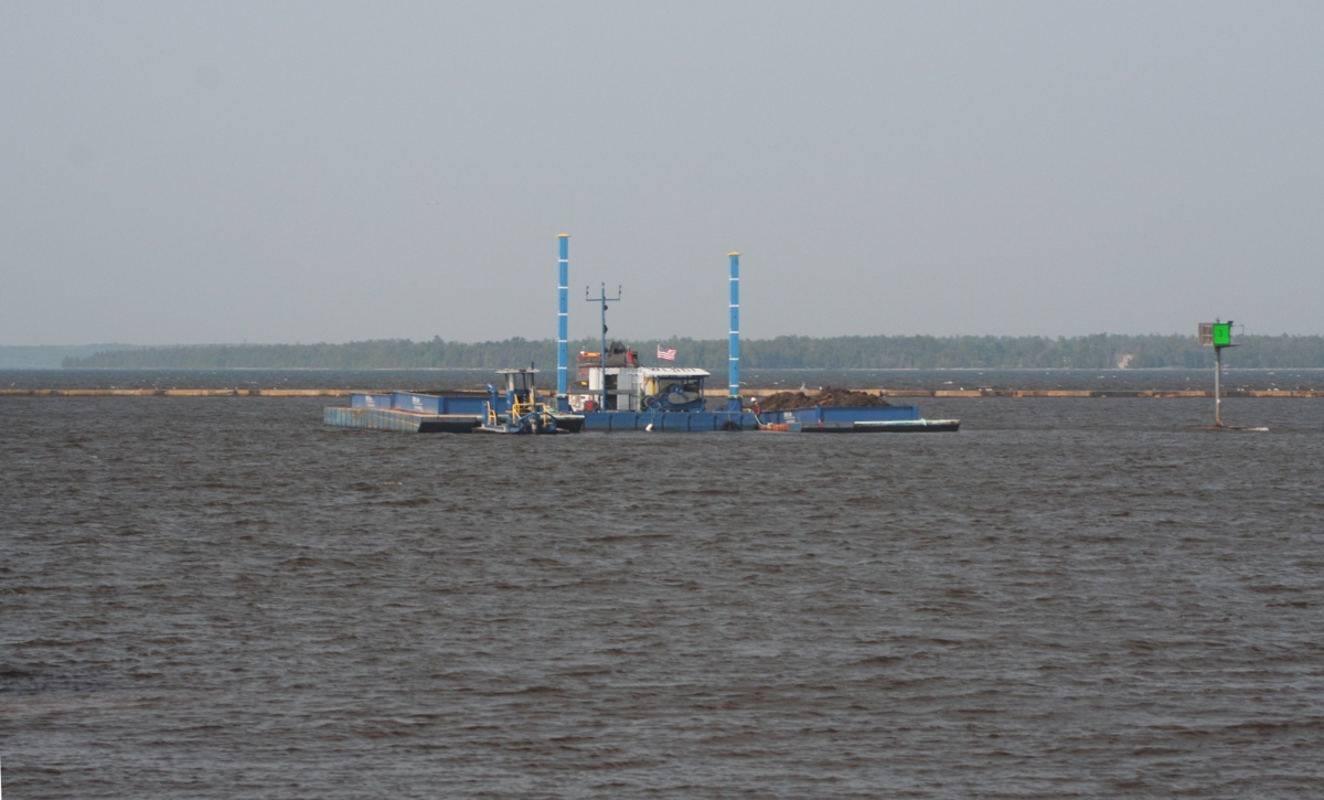
This dredge works to keep the silt from the Manistique River
from choking the harbor entrance.
My telephoto lens reveals more details of the dredge.
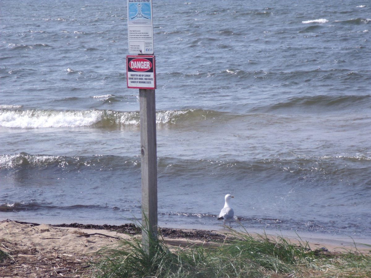
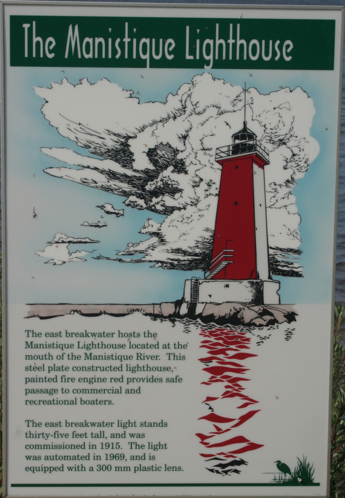
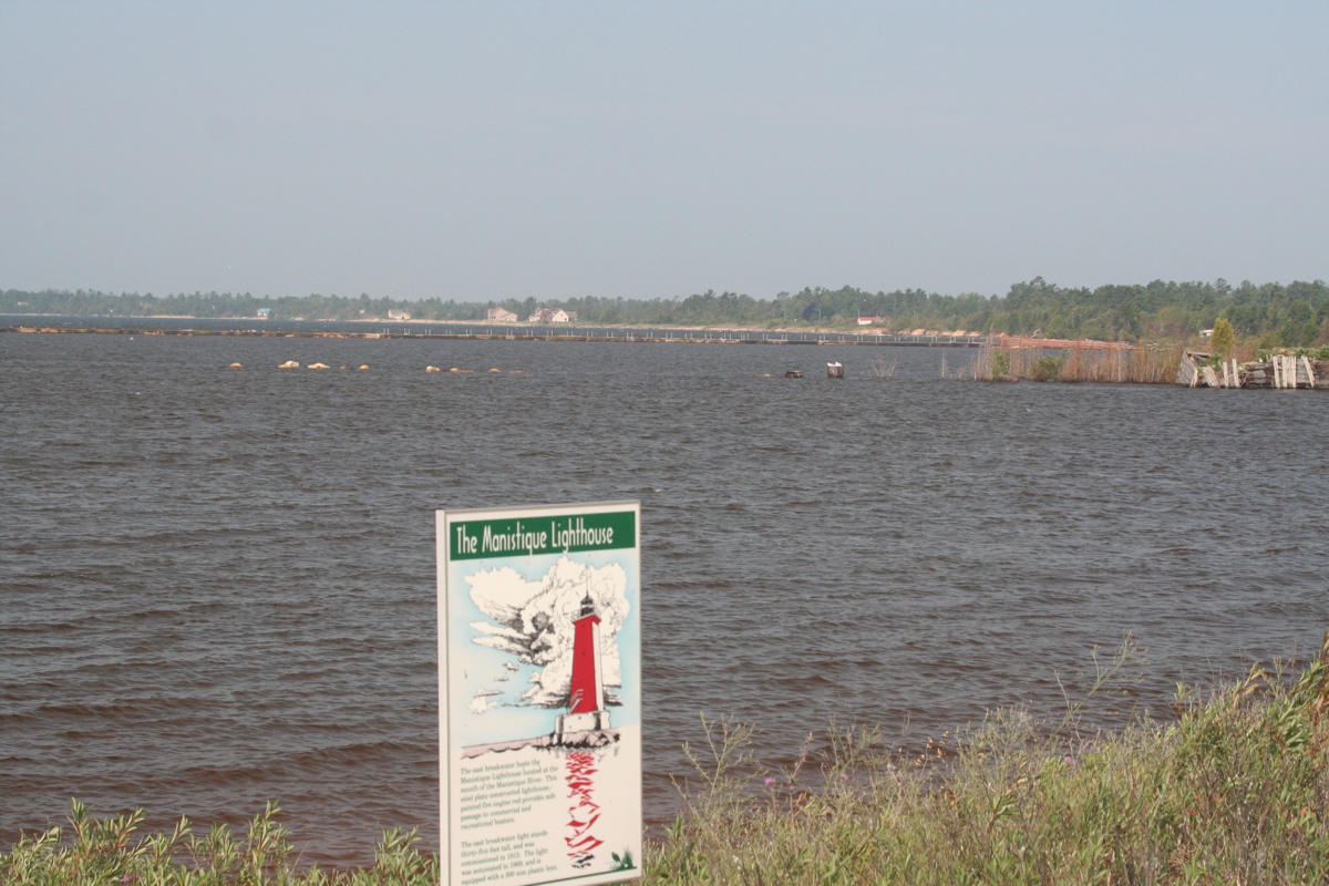
This information sign was posted at the water's edge.
I noticed Linda had selected a location on the shore that framed
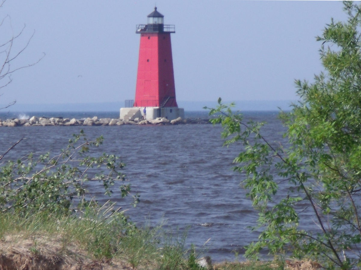
the light house between the trees as seen here.
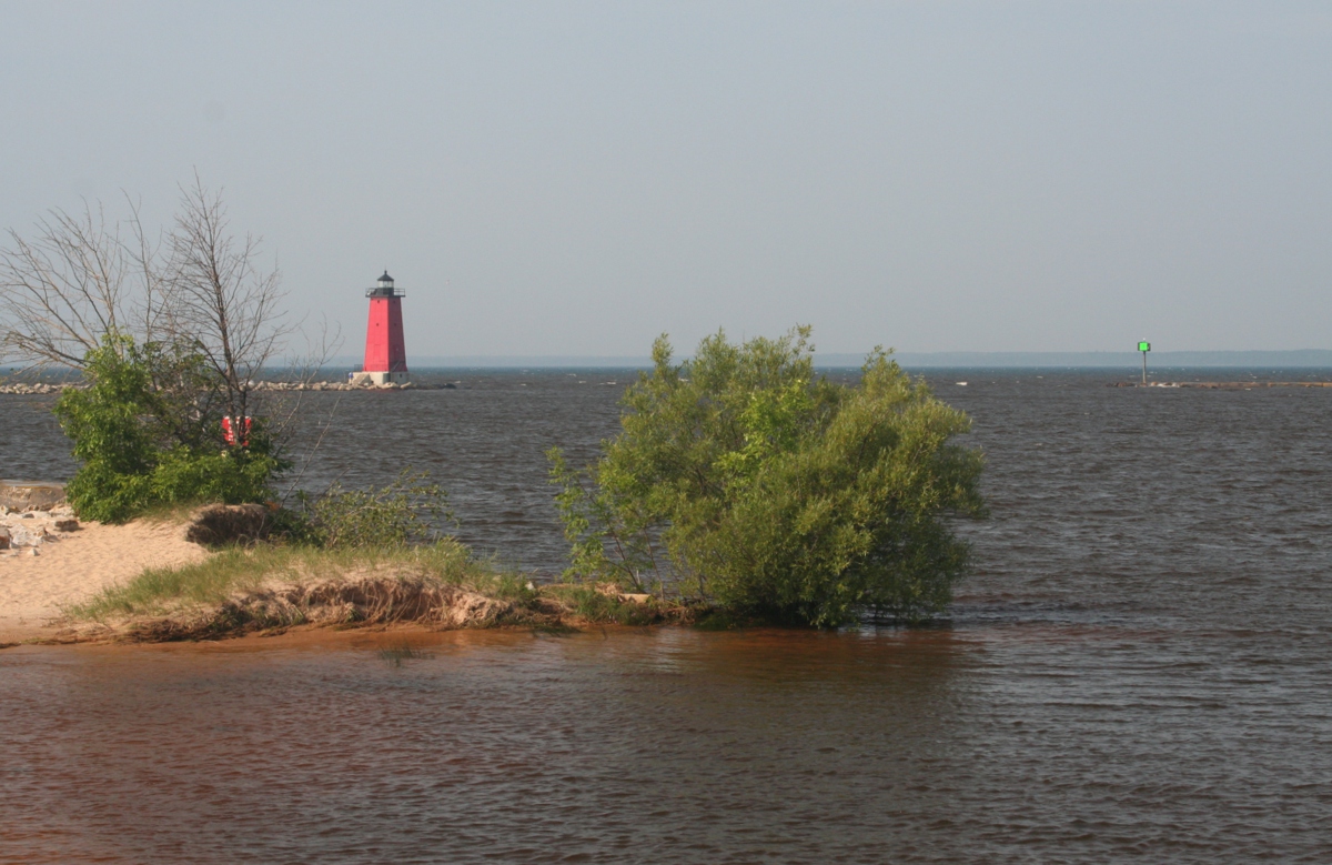
This is the location on the shore where she snapped her light house
photo seen below in this image from my camera.
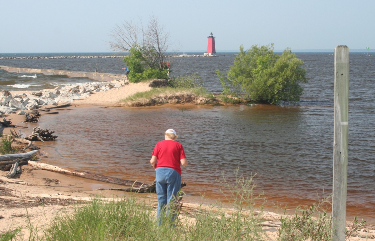
The telephoto lens in her camera captured the detail of the hand
rails on the light house base.
I wanted to show how she lined up her image above.
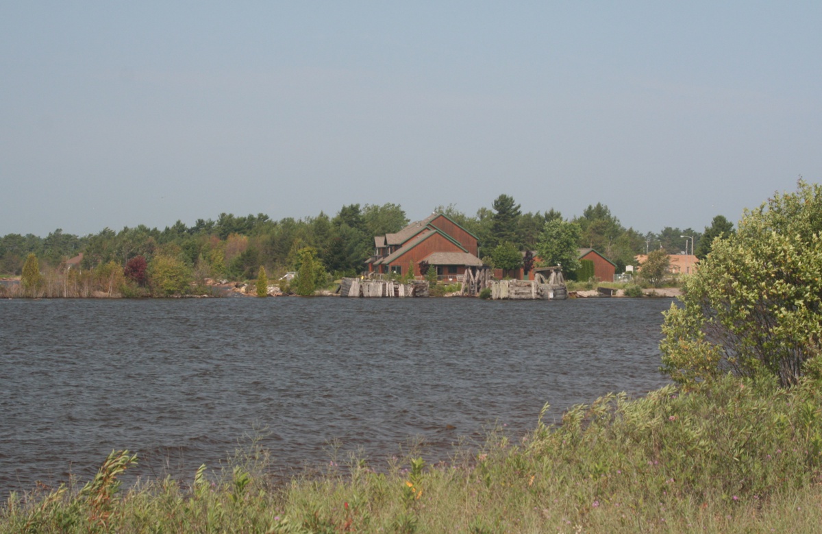
People want to live near the water as you can see here looking west beyond
the harbor.
These buildings across the harbor near the mouth of the Manistique
River appear to be vacation rentals from their location on Harbor View Drive in
Manistique. I looked up the street name on Google Earth and found some
real estate listings with photos of these buildings from the street side.
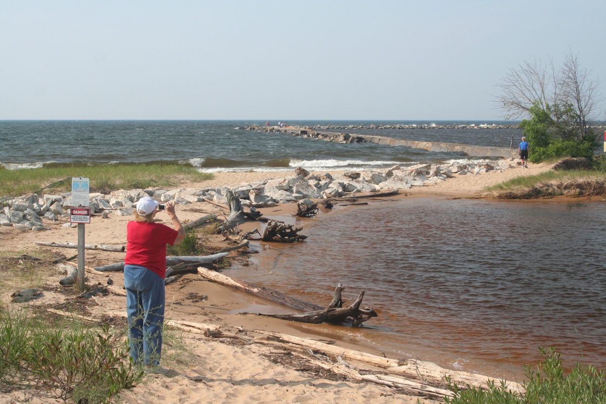
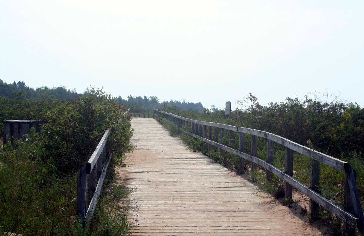
Here is that boardwalk I mentioned in the aerial image of this waterfront.
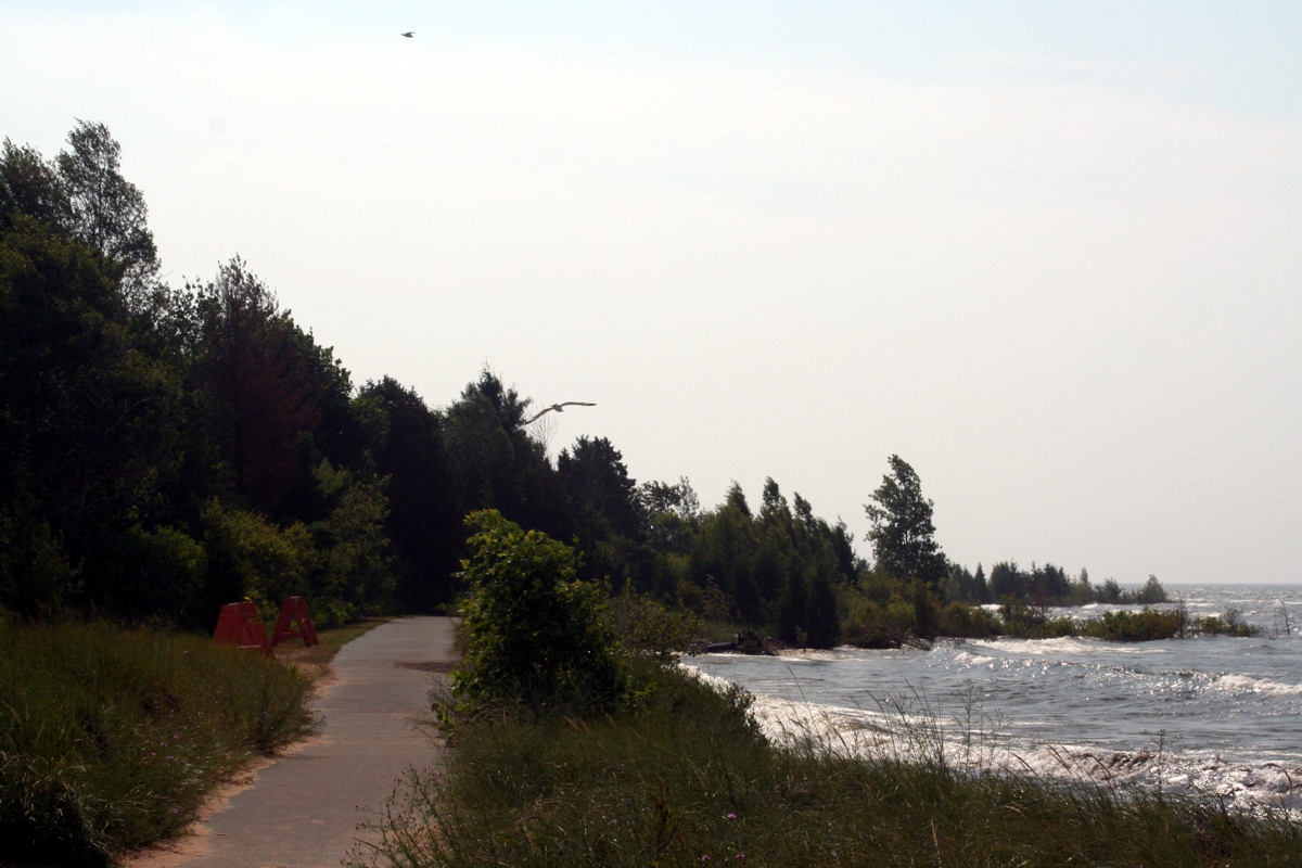
Beyond the boardwalk at the East end of the park area was this paved
walkway. I was focused on the sea gull flying low near the trees near the
center of this image while another gull was near the top of the photo.
There were several sea gulls near the shore, but only this one came
down to the water's edge while we were standing here. Linda got this
picture.