US 2 - Going East to Manistique, Michigan · · PAGE 26.
July 26, 2019: This is a November
2016 view of
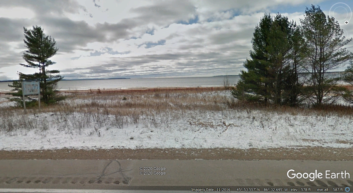
Big Bay De Noc further East on US 2 on the road to Manistique, Michigan. Lake Michigan
is beyond where the land ends on the south side of the bay.
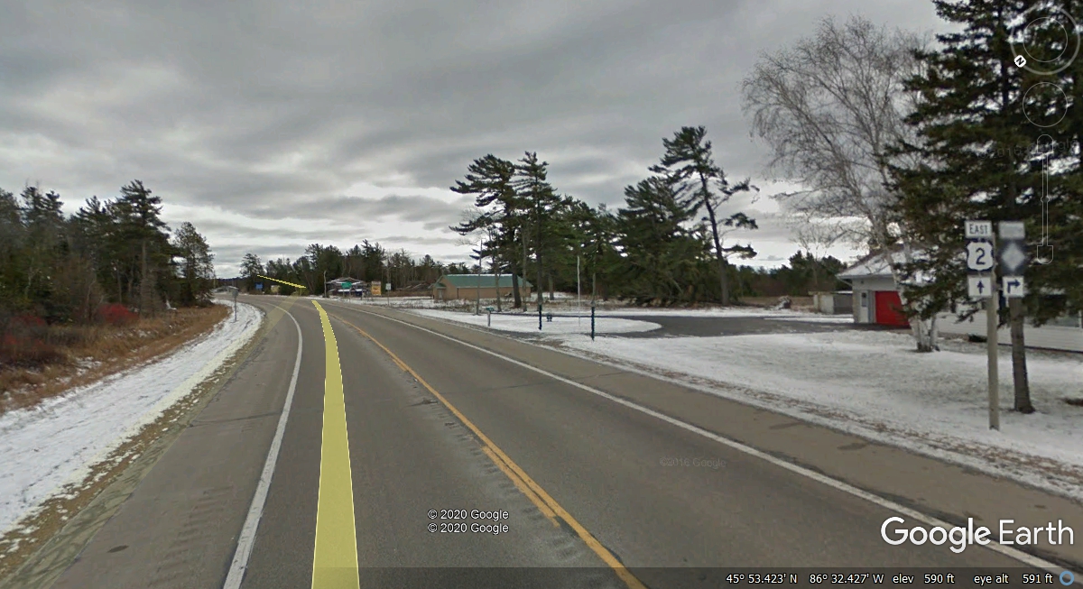
The county road ahead at Garden Corners goes south from US 2 along
the eastern shore of Big Bay De Noc.
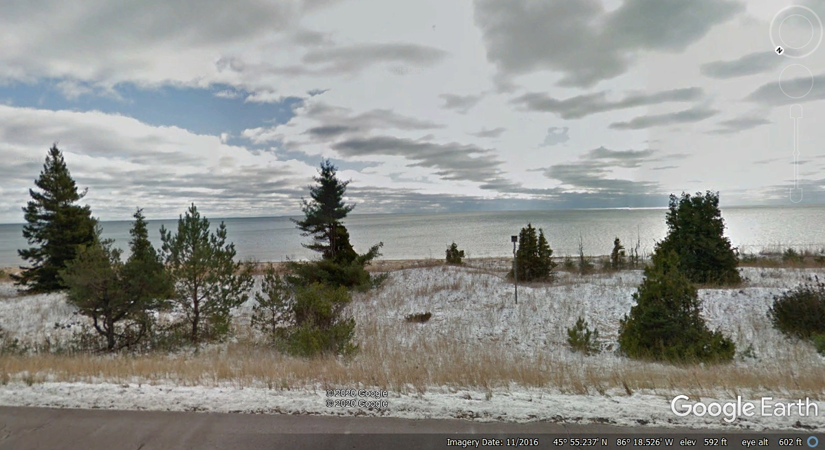
Finally, a view of Lake Michigan from US 2 about half way between Thompson
and Manistique, Michigan. Remember we passed this way in July 2019 as you
will see from our pictures we took in Manistique. All the images with snow
were recorded by Google Earth vehicles in November 2016.
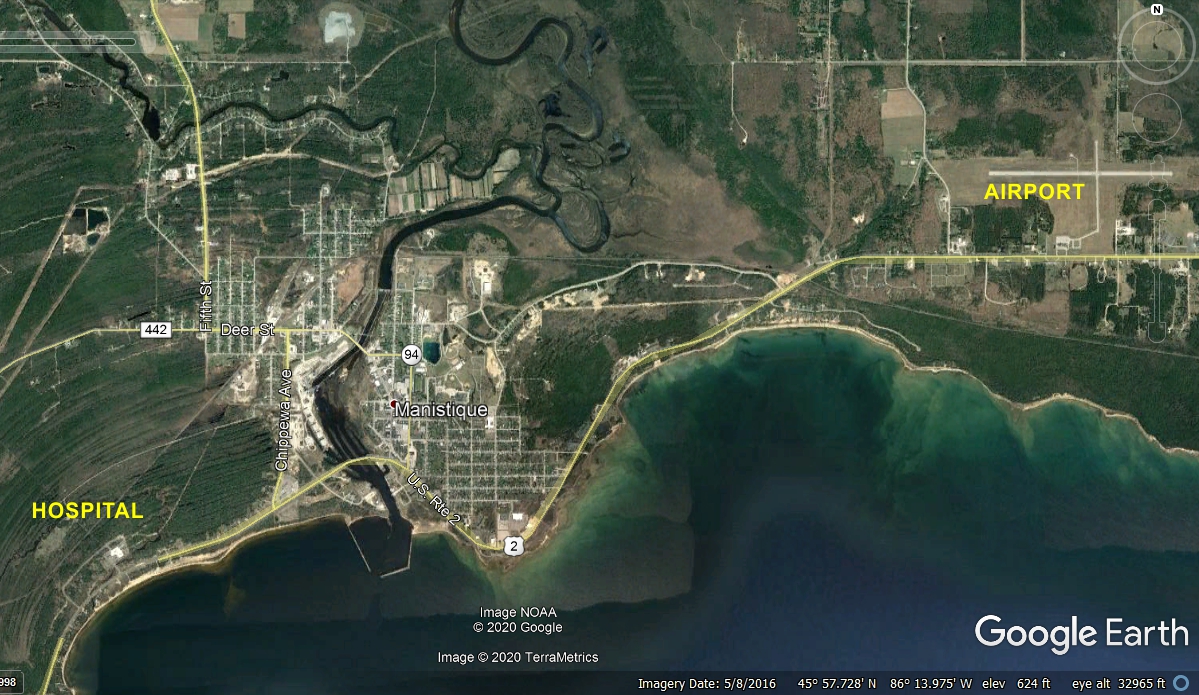
Here is the Aerial View of Manistique taken in May 2016. It shows the hospital at the west side
of town and the Airport at the East side of town.
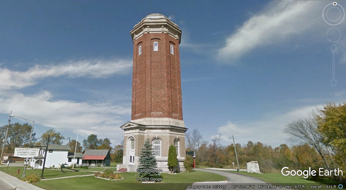
We did get off of US 2 in Manistique to drive through the business
district and passed this location with a sign out front: "Schoolcraft County
Historical Park & Water Tower." This is one way to have a heated
water tank that will not freeze in winter.
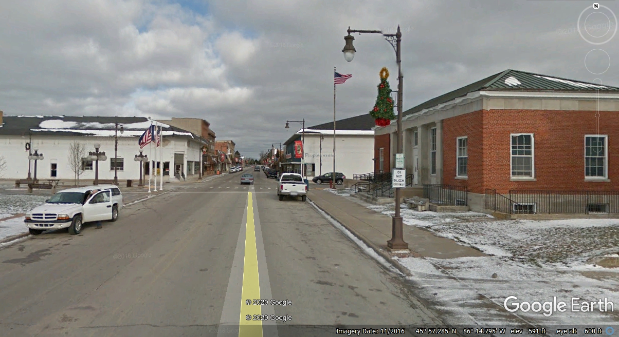
Here is the view looking north on Cedar Street past the US post office to
the old store fronts with modern day clients located there.
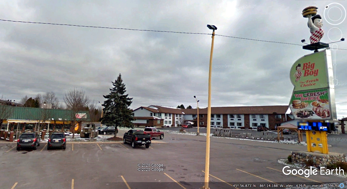
It was 10 AM when we first passed by this Big Boy restaurant. We
noticed a public park across the street with good views of Lake Michigan.
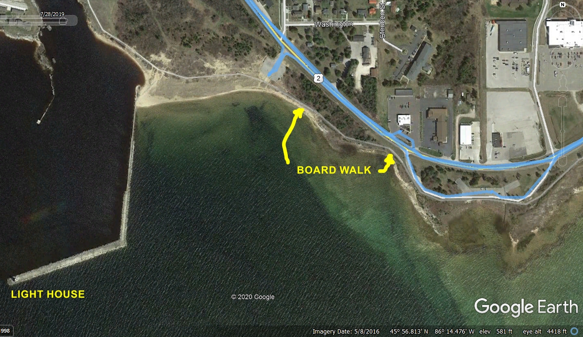
This is a Google Earth Aerial view showing two areas where we stopped to take photos
along the north shore of Lake Michigan including the Manistique Light
House. It also shows our BLUE GPS ground track when we stopped at the Big Boy
restaurant to take some photos you will see later.
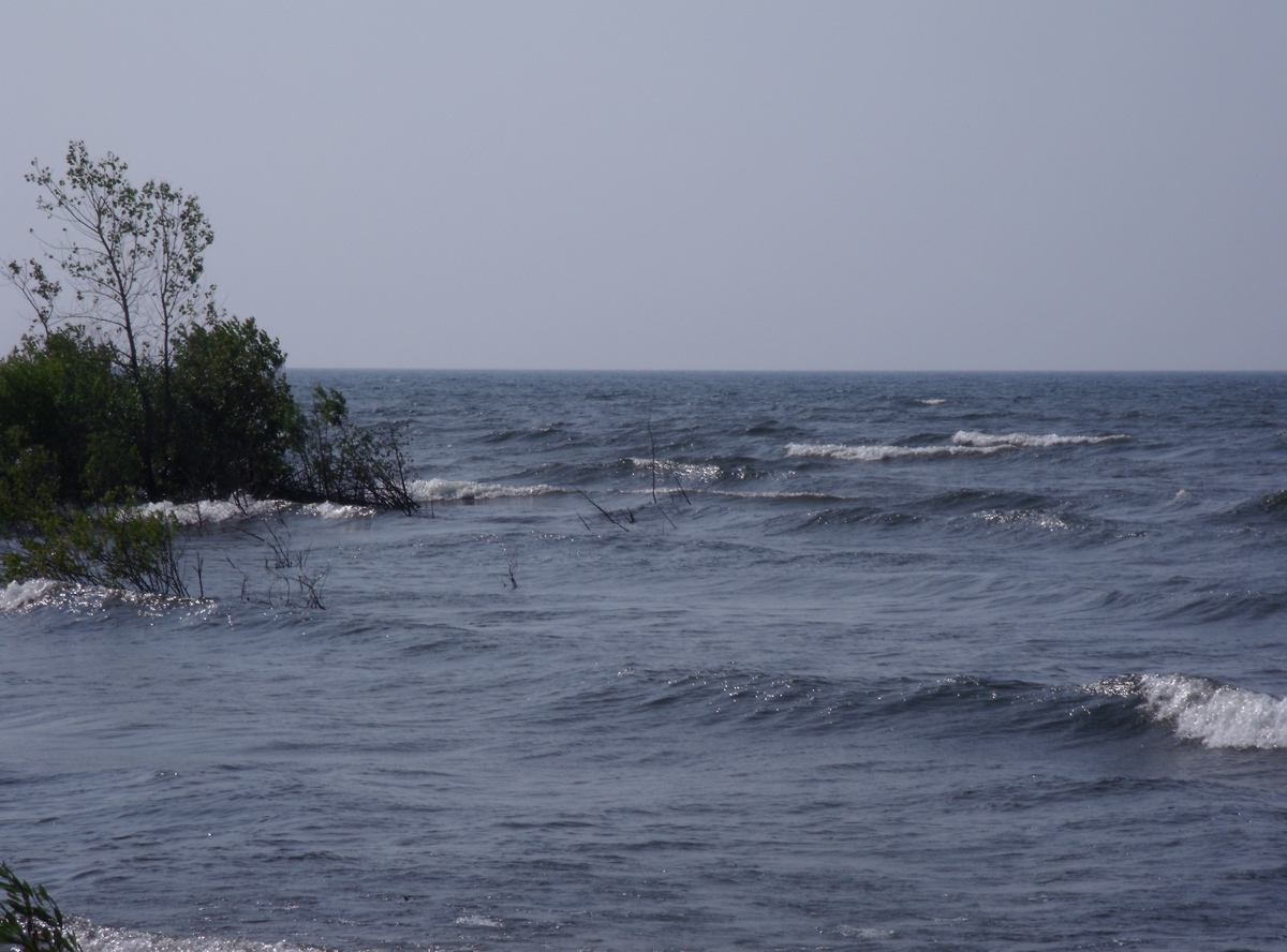
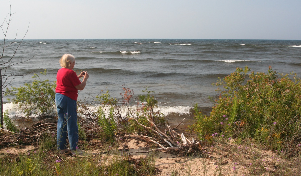
This was Linda's first photo of Lake Michigan when we pulled into the park
nearby. She had a hard time accepting waves on the lake since we have the
Atlantic Ocean on the East coast of Florida. I had to remind
her this lake is over three hundred miles long from Gary, Indiana to this point
at Manistique, with wind driving these waves onto
the north shore where we are standing. This image was taken the last week of July 2019.
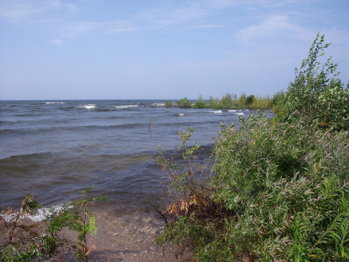
This is the second photo Linda took at the first view point. Again,
her focus was on the white caps in the waves.
Linda looks at a plaque near the shore.
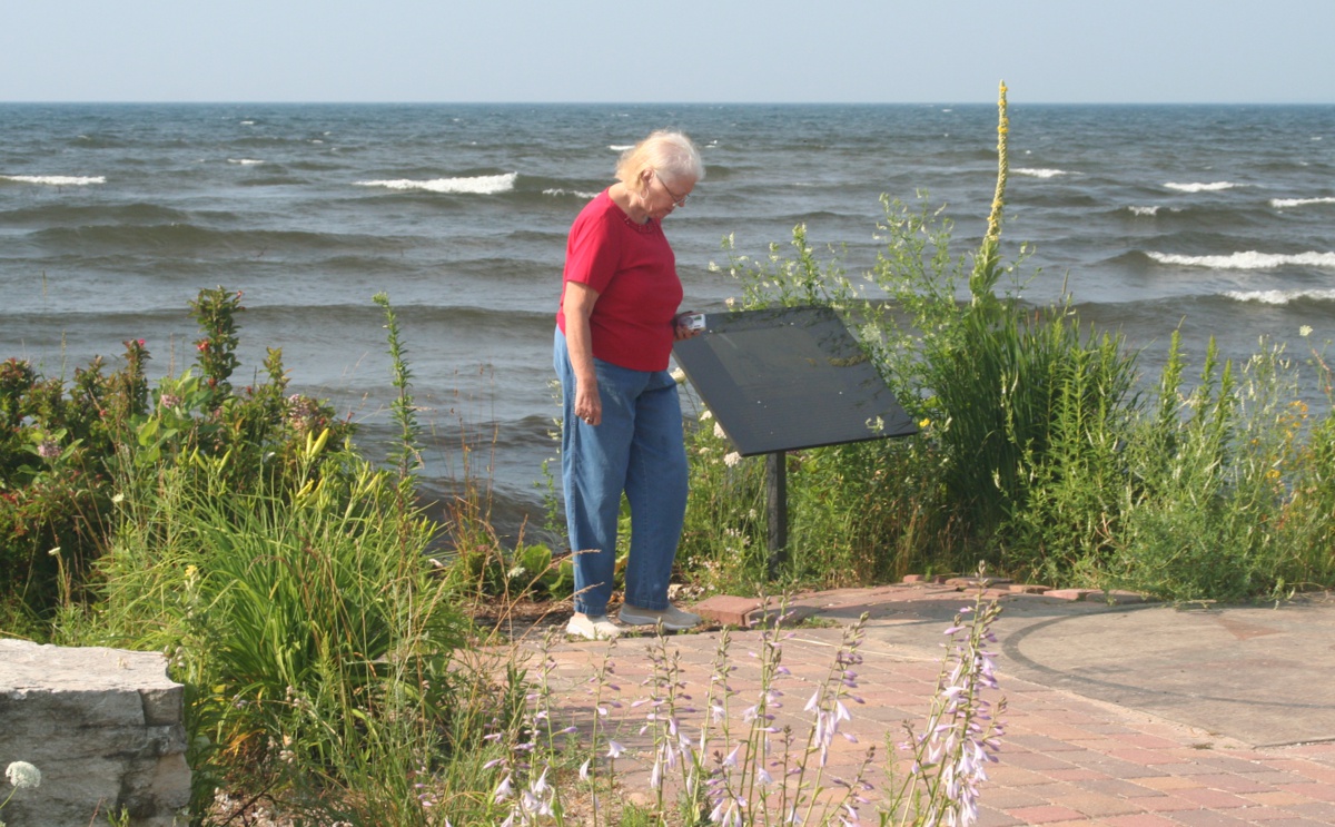
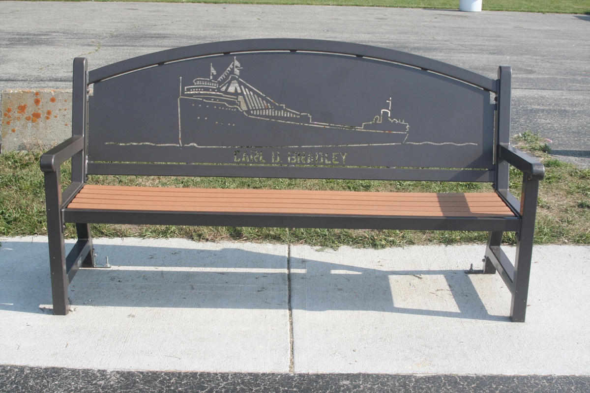
Here is an image of the plaque seen with Linda in the photo above. A
Google search for the CARL D. BRADLEY gives the complete story about a winter storm
and the loss of
the ship and most of the crew.
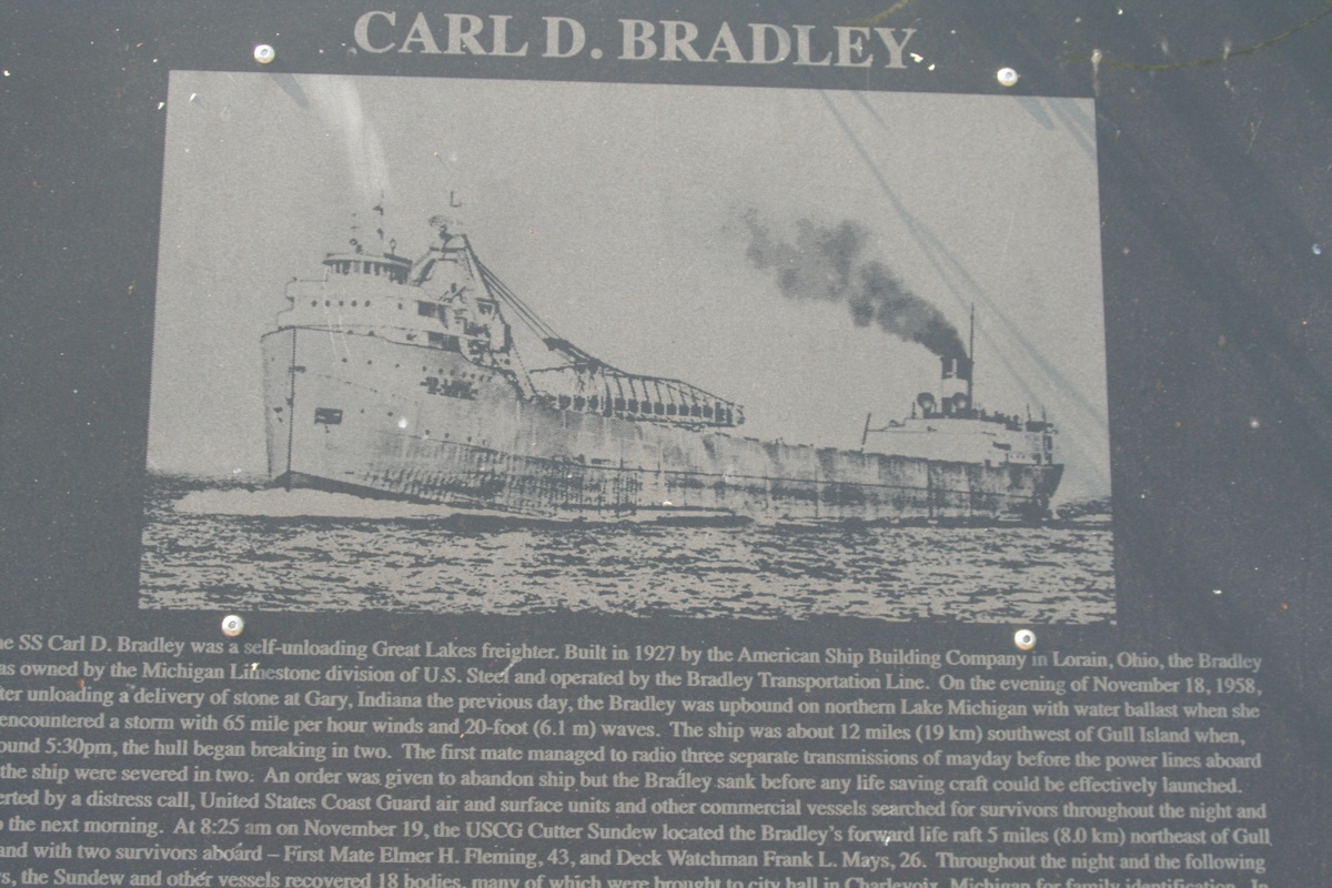
This park bench honors the ship and crew.
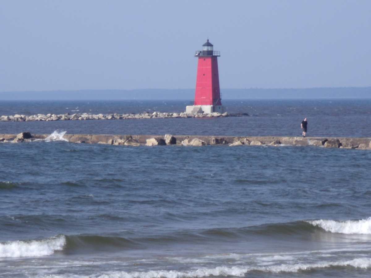
I watched Linda taking a picture toward the Manistique Light House.
Here is her photo I processed to get the horizon in the background to be
level in this image. She used the camera zoom control to get a closer look at the
light house. The land in the background beyond the light house is the
Garden Peninsula seen in the map on Page 25. It extends over 20 miles
south of US 2.
|
PAGE 27 - Manistique, Michigan Harbor and Lake Michigan Shore |