Reshaping the Putting Green into 2 Home Sites - - PAGE 60.
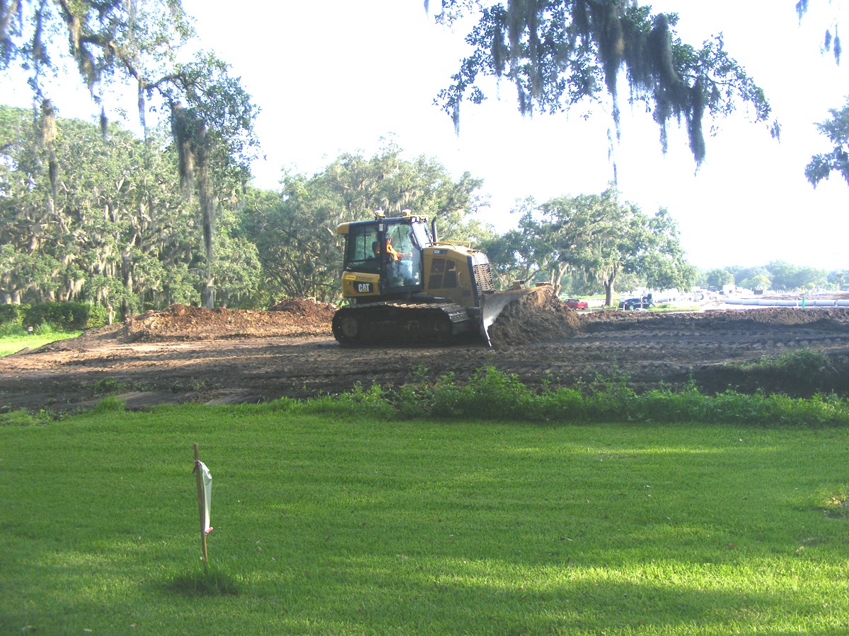
June 5, 2018: Today the work with a
bulldozer and a couple of dump trucks was to shape the old putting green into
two building lots, 22 and 23 as seen on the site map at the bottom of PAGE 59.
This bull dozer is equipped with TWO white GPS receivers mounted on the top of
the air-conditioned cabin. The site plan map with the GPS places the
streets in the correct locations as you will see later. For now, the lot
property lines are what he is using to place the soil properly.
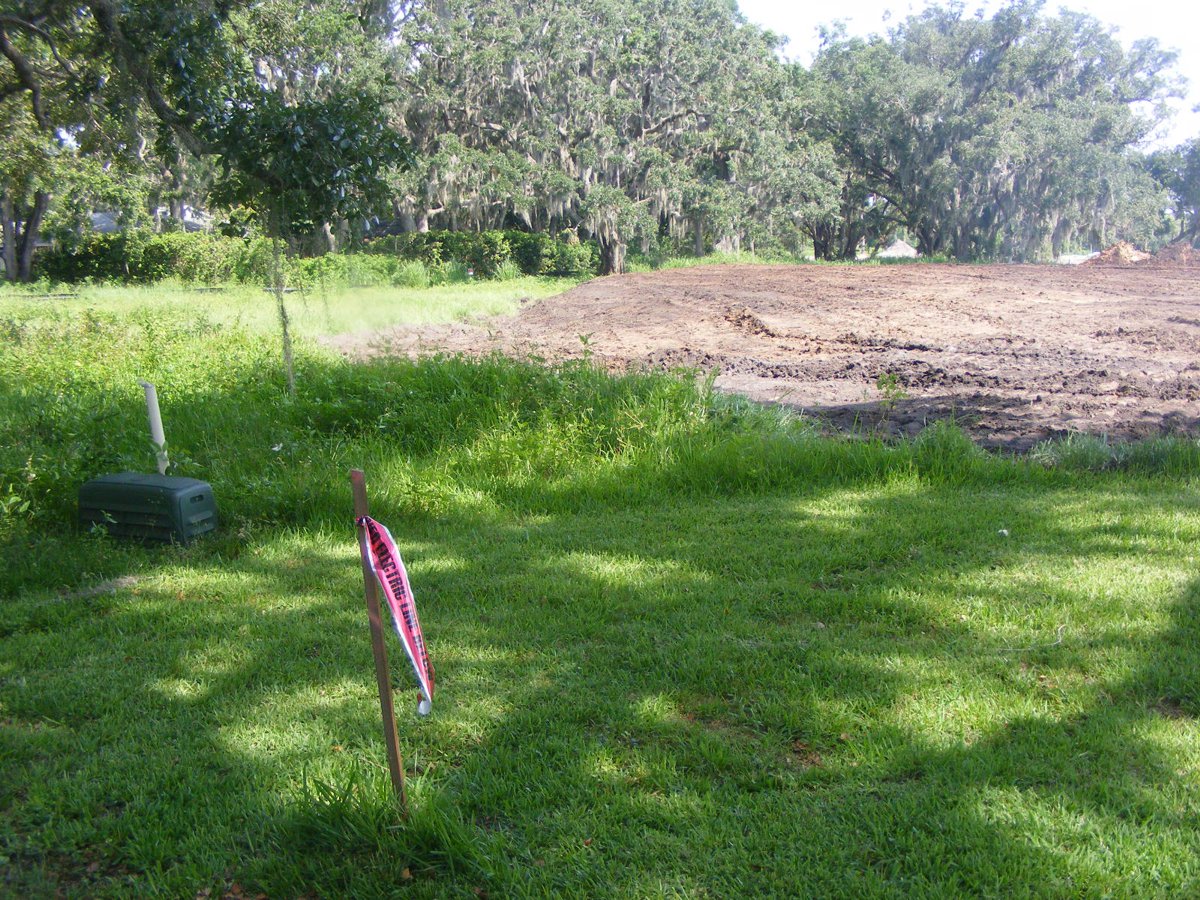
The dozer operator saw me taking these photos and came over to speak with
me with good information. This photo is taken from the west end of our lot
and shows the cable TV amplifier box at the edge of the utility easement.
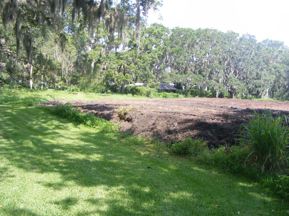
The south side of the putting green has been lowered by a couple of feet from
what it used to be.
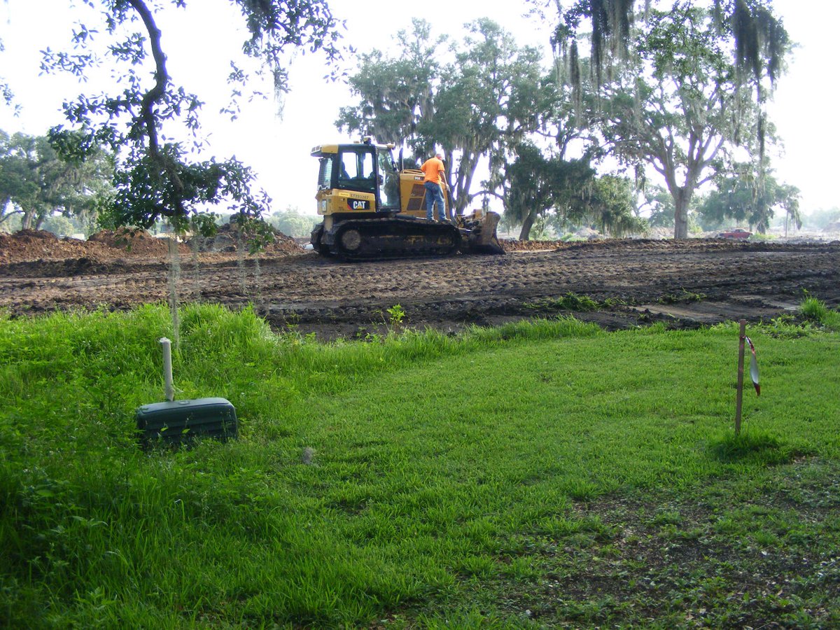
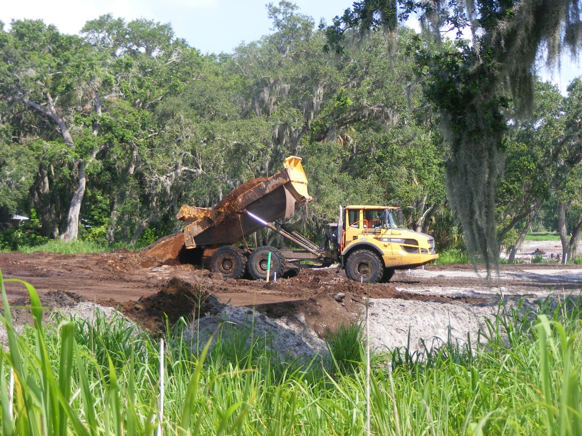
Dump trucks bring the dirt from another area to this location.
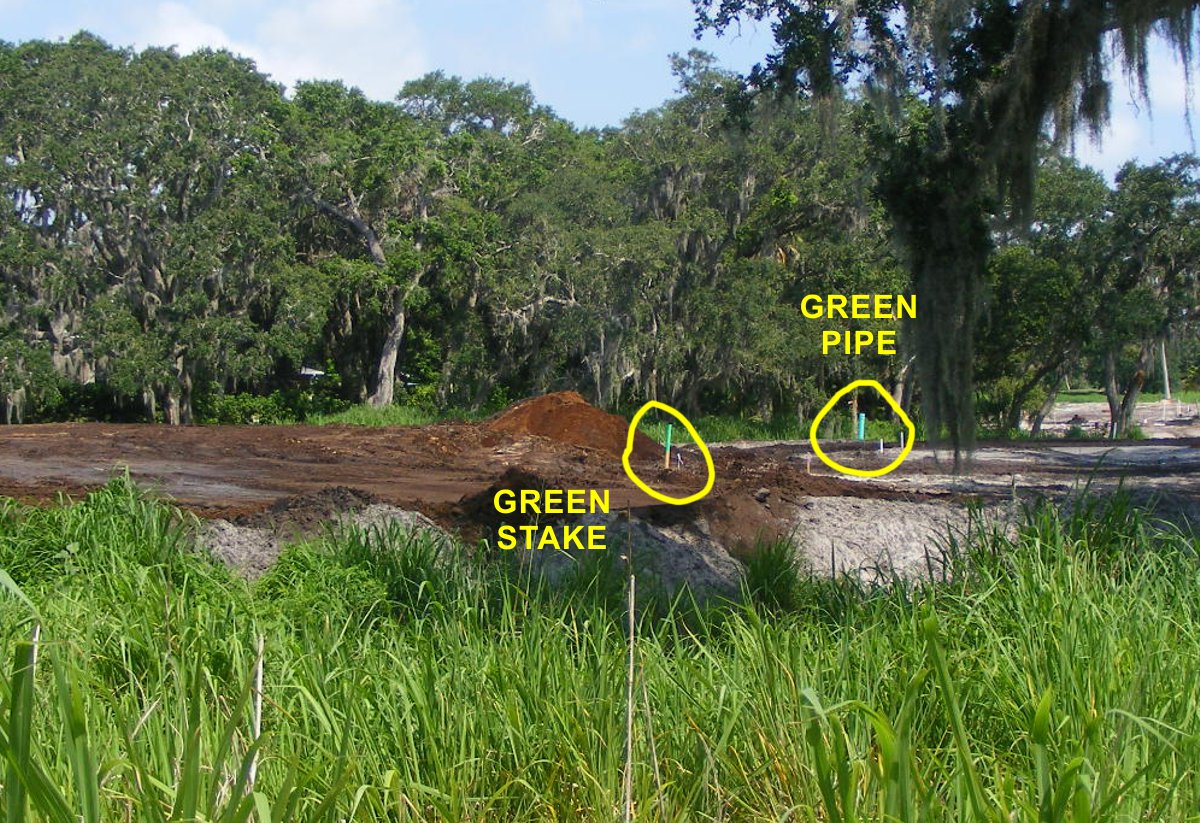
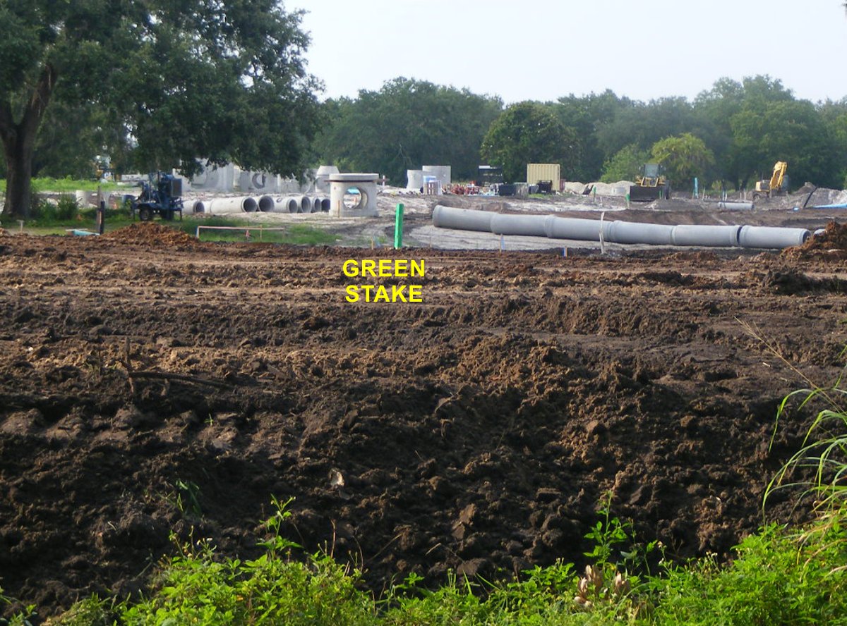
This image looking west from the end of the access road shows a stake with
green paint on it indicating the intended ground level compared to the street
and man holes just to the right of this photo. The GREEN PIPE is located
at the sewage waste pump station to be installed by the city of Palm Bay for
waste treatment.
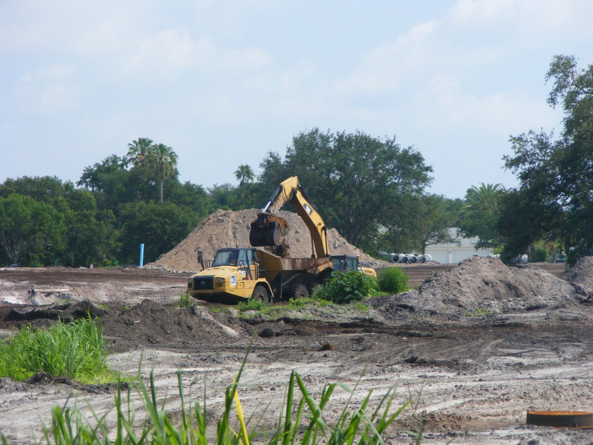
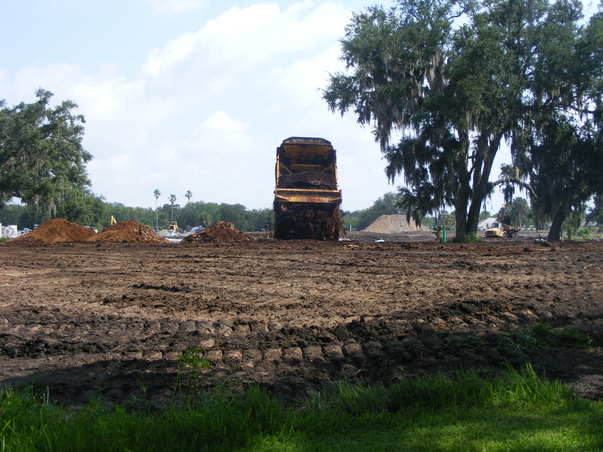
A front end loader passed in front of the scoop shovel that is filling the
two dump trucks bringing dirt to raise lots 22 & 23 behind our house.
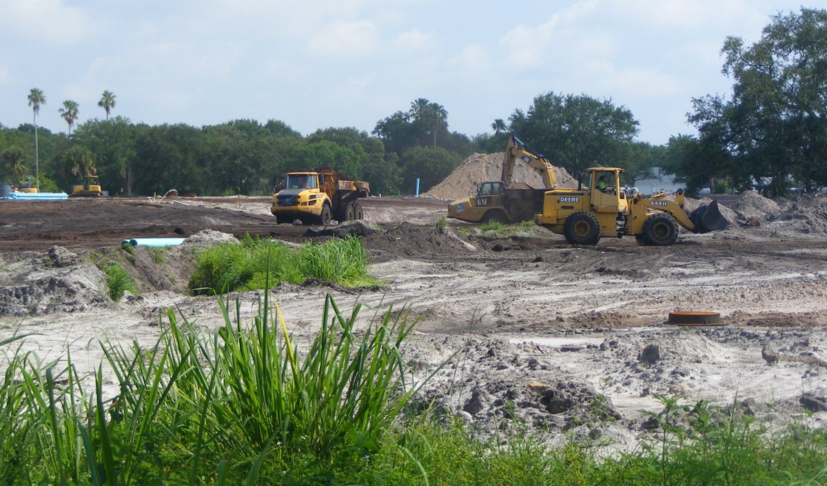
The trucks are taking turns being filled and moving the dirt over here.
The process continues until the ground level of lots 22 and 23 meet the
surveyors markers above street level.
The loads of dirt are lined up as the "high ground" is shaped up
toward the street location at the "front" of the lots 22 & 23.
The fill dirt is being groomed down to surrounding ground level at the
back of lots 22 and 23
This view is looking north from the northwest corner of our lot. The
power company cables are below that flag. This is the utility easement
area.
Pointing the camera toward the northeast shows how the lot 22 & 23
area is well manicured with only the GREEN top the survey stake showing above
the new ground level.
Dump trucks are bringing the last few loads of dirt for the north side of
these two lots near the manholes that will be in the center of the street to be
built there.
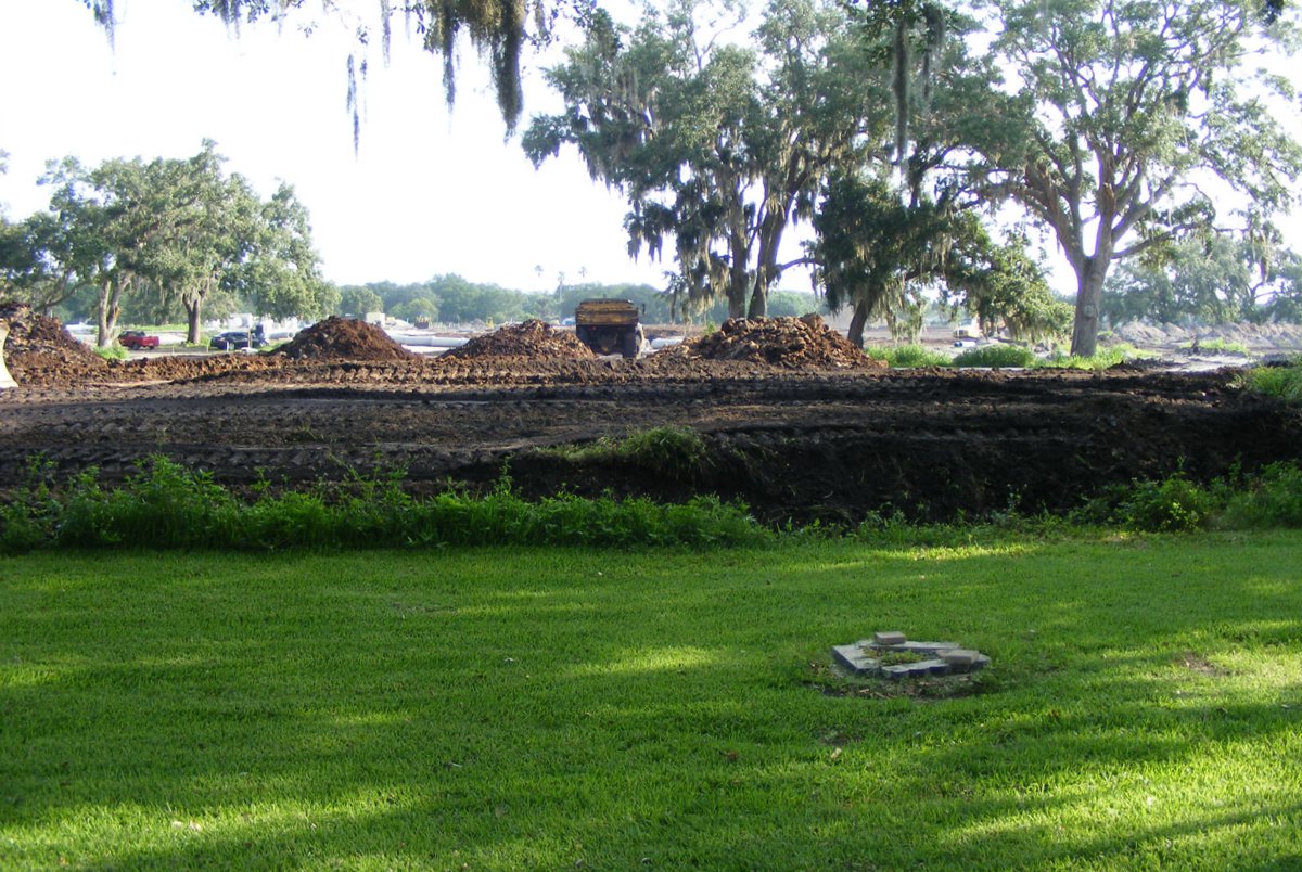
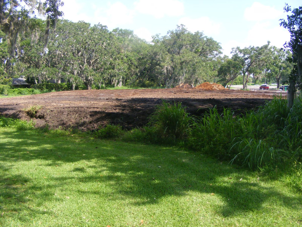
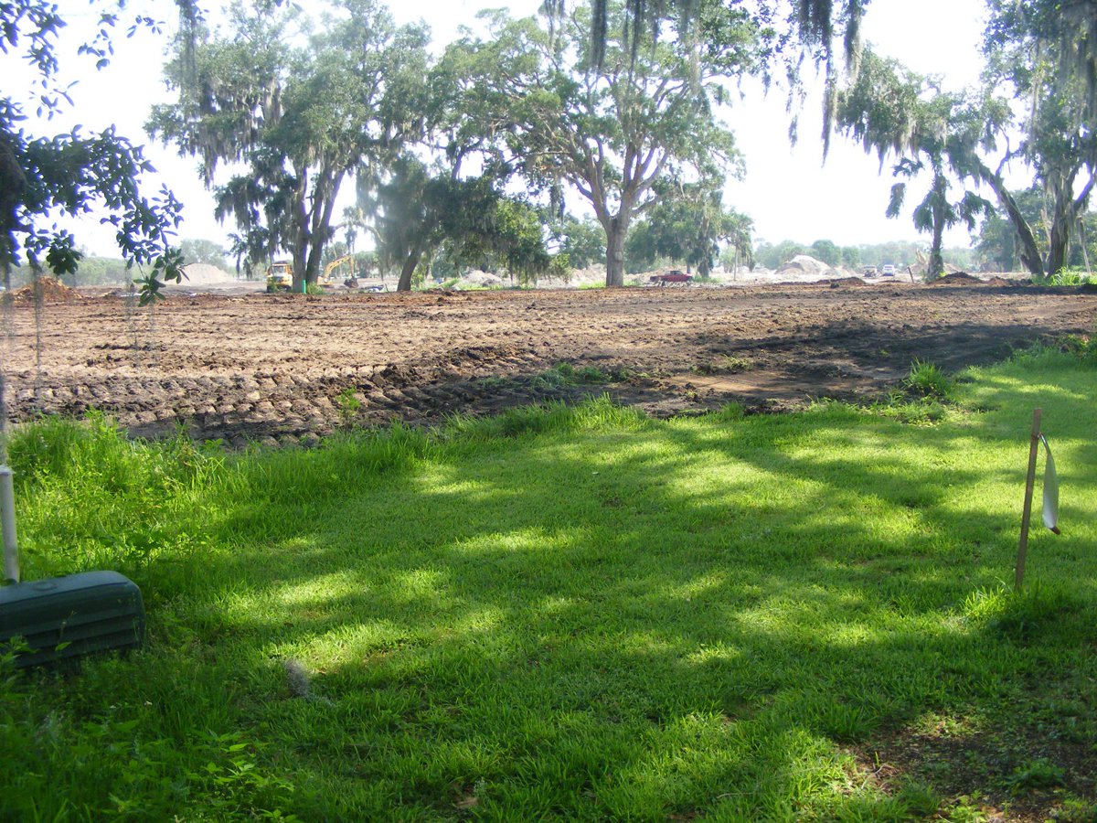
Here is a view from the south edge of the work area looking north taken
later in the day. The dirt piles have been spread out on lots 22 & 23
raising them to the designated elevation. Those concrete pipes have a
diameter of three feet. They will be part of the storm drains for all the
streets and will be connected to the underground pipe in the easement on the
east side of our lot going to the Melbourne Tillman Canal that has drained this
area since it was all originally developed.
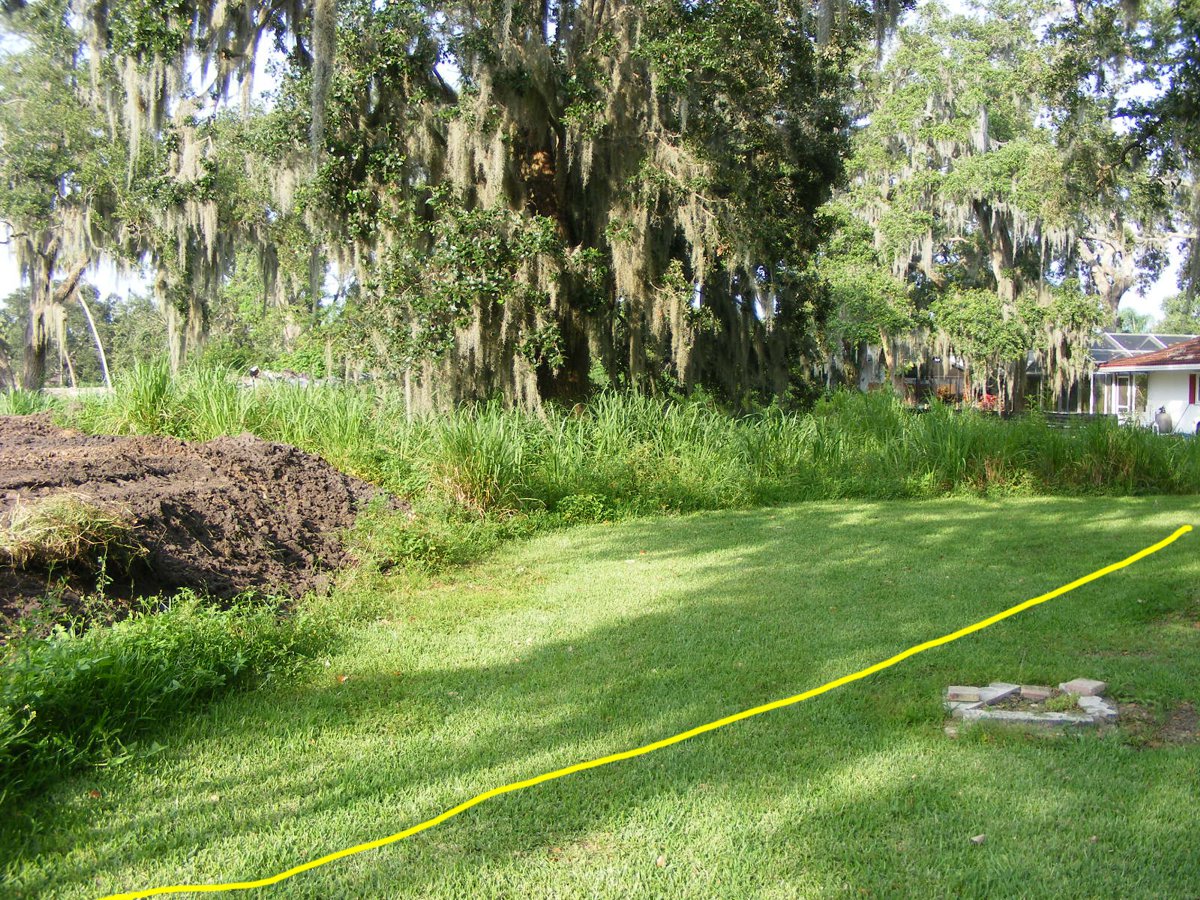
The bull dozer operator was telling me he is not working (for now) under
the trees that will remain as part of the landscape. I put that yellow
line in this photo to represent the lot 22 boundary near our lot. I expect
this area to get shaped up as they survey the lot line which will be north of
the utility easement back here. For now, the crew is working at other
locations on their property. I will post more photos and information when
the next changes occur.
| GO TO PAGE 61 | BACK TO HOME MENU |