Golf Course Preparations · · PAGE 54.
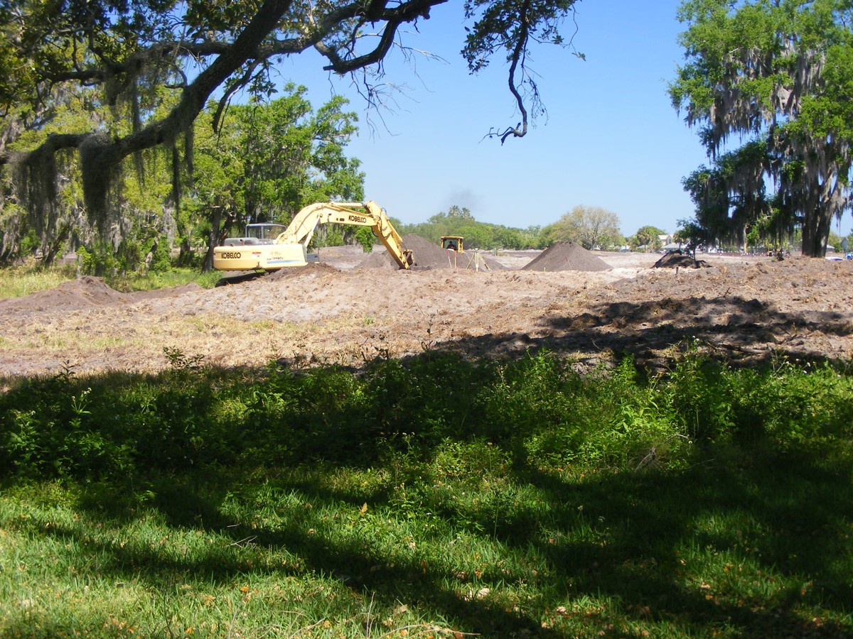
March 15, 2018: The past few days have
seen a very large tractor dragging a large multi-row disc to plow the entire
property out back. The moving of dirt to fill in the lot next to the putting
green started today. The shovel is distributing the soil in the area of
lot 23. Most of lot 22 will be on the putting green behind the
house.
There is a front-end loader working to keep the shovel supplied with soil
to fill in the low ground of lot 23.
Each shovel of dirt brings lot 23 higher.
The job supervisor is nearby to monitor the activity.
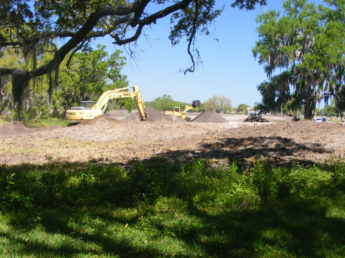
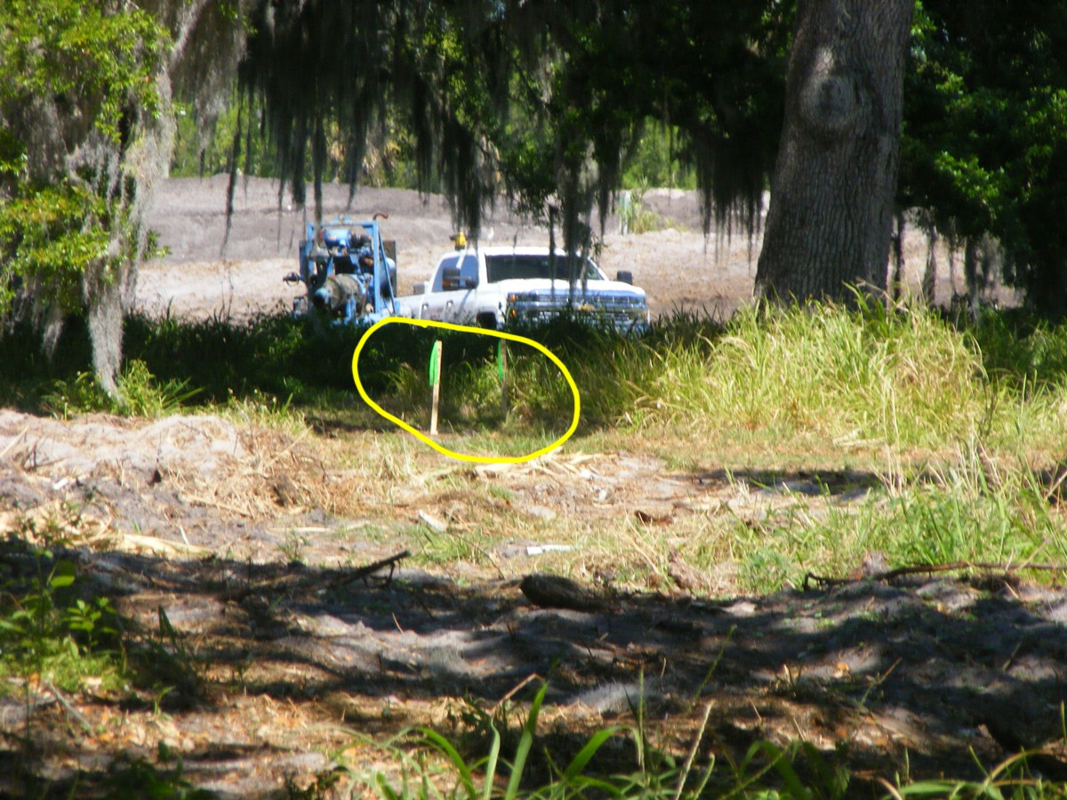
I took this photo from the northeast corner of our lot. There are
two flags out there which appear to mark the point where lot 22 will meet with a
street to be built there.
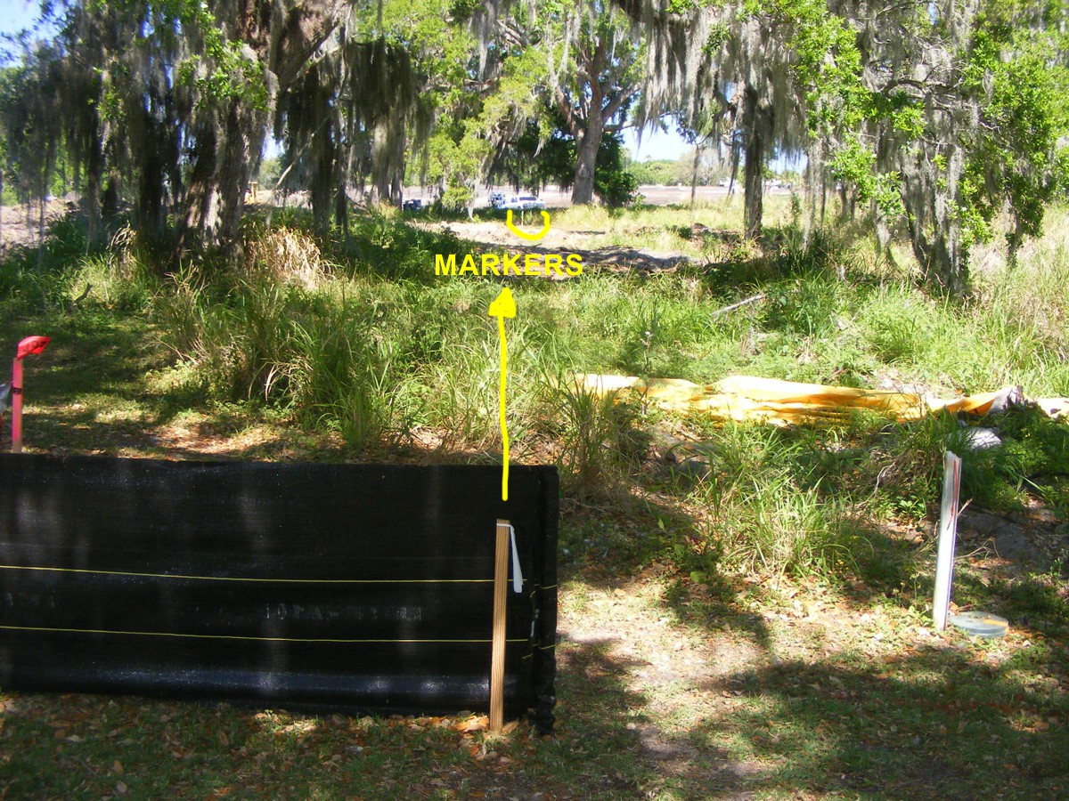
Here is a wider view showing the marker at the northeast corner of our lot
at the bottom of the image. The markers indicated below are seen in the
telephoto image above.
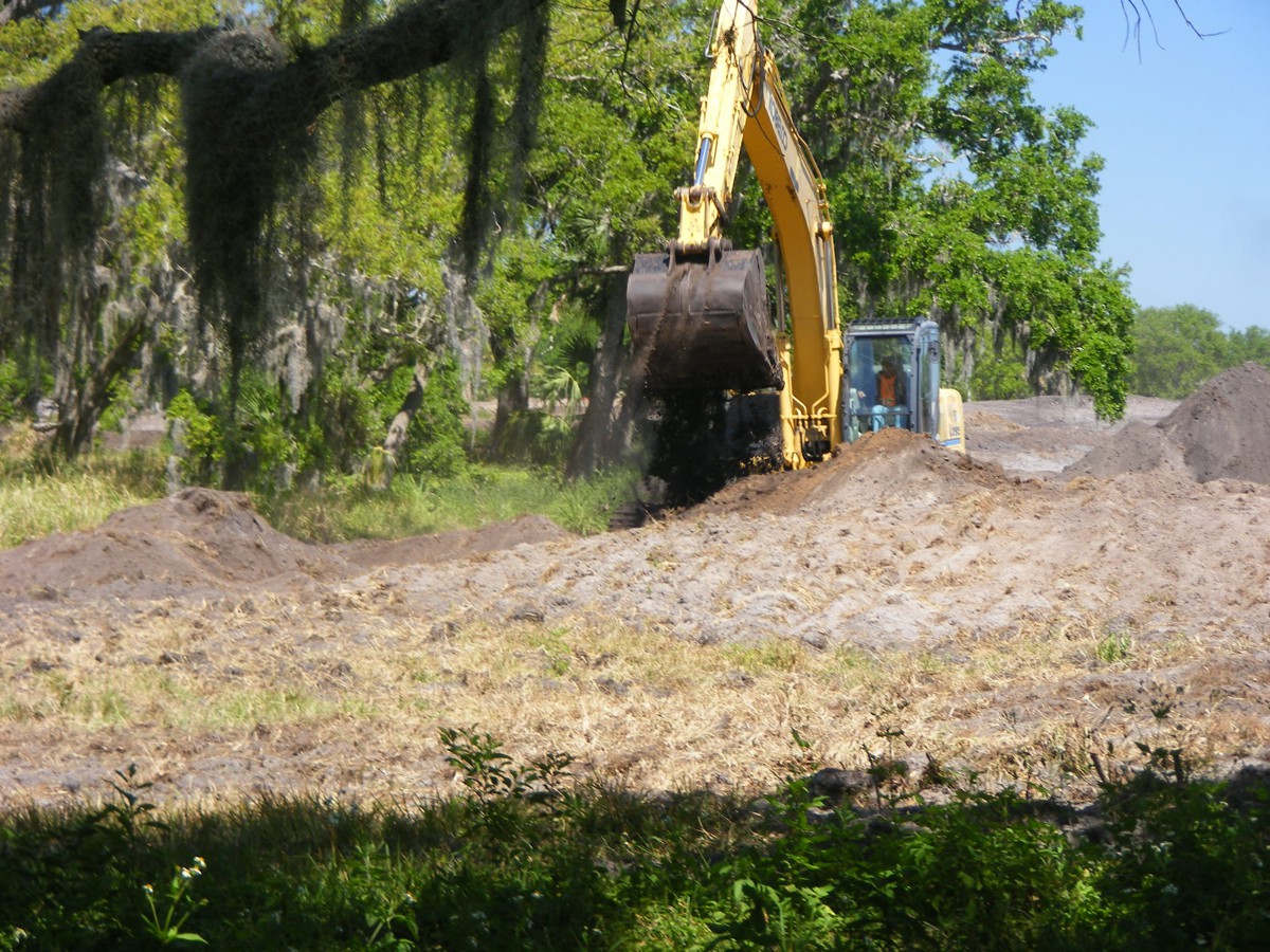
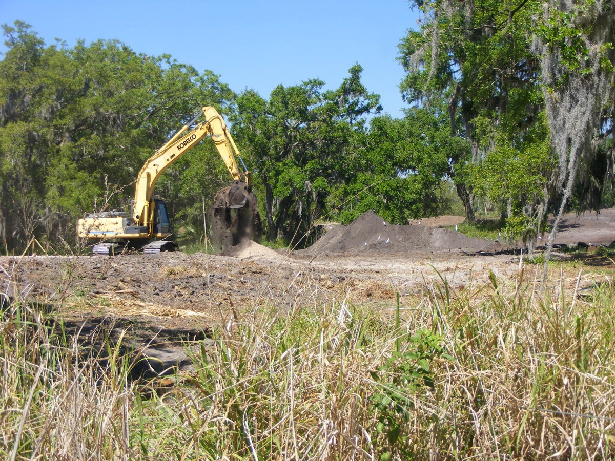
Digging and moving the soil will be a steady process for quite a
while. This telephoto camera view is looking across the old putting green
from the northeast corner of our lot. The shovel is working on lot 23.
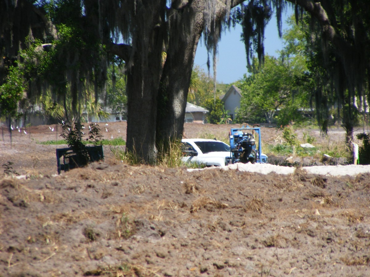
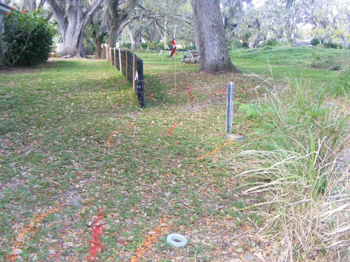
I paid a visit to the Palm Bay City hall to meet with Christopher Balter,
a land development planner who is also monitoring the activity as the golf
course becomes new home sites. I went there to discuss the easements
behind the house, and the trees that could be removed, or not. I showed
him the rear easement photos I took that are posted on page 53. This is
one of those photos. I told him of my meeting with the job site supervisor
a few weeks ago and his statement about moving the utilities within five feet of
the property line in the zone to the right of the black fence seen here.
While I was in the office, Chris showed me the map segment I saw when I
met the job site supervisor here a few weeks ago. I took a photo with my
cell phone and have it posted here.
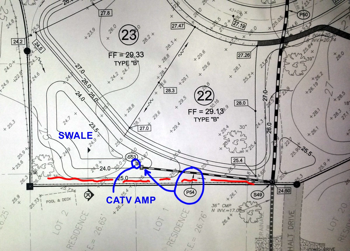
I marked up the image above to show the current position of the cable TV (CATV) amplifier that feeds our house and others to the left of this map. The P54 pipe is a drain from a water retention area marked as SWALE to be built later. The cable company will probably move their amplifier and underground cables to an area along the RED line. The power company may have to do the same thing. The black line with dots on it represents the fence they want to build adjacent to the property line. I am hoping the fence will be set back FIVE FEET to accommodate the relocated utility easement. With that position for the fence, I will only have to remove two sprinklers and their pipes north of the property line and fence.
That P54 pipe will empty into the storm drain. The developer will be extending that 36-inch pipe to the new street north of lot 22 and the retention pond on the north side of the street. That extended pipe is marked on this image above as P50 in the upper right corner.
| GO TO PAGE 55 | BACK TO HOME MENU |