Wendell Folks Alaska Trip - Page 32.
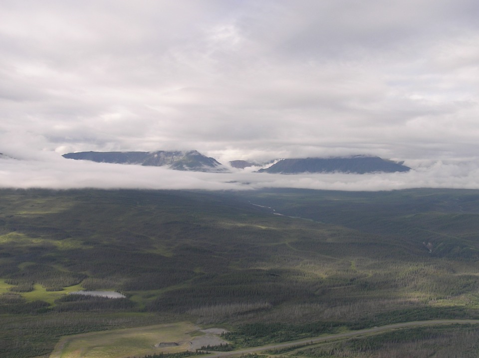
July 24, 2007: Day 5 continues north and
west following the Alaska Highway. At this point the highway has traveled over 1,100
miles from Dawson Creek and the zero mile post. Here is the view looking west with
the highway in the bottom of the photo.
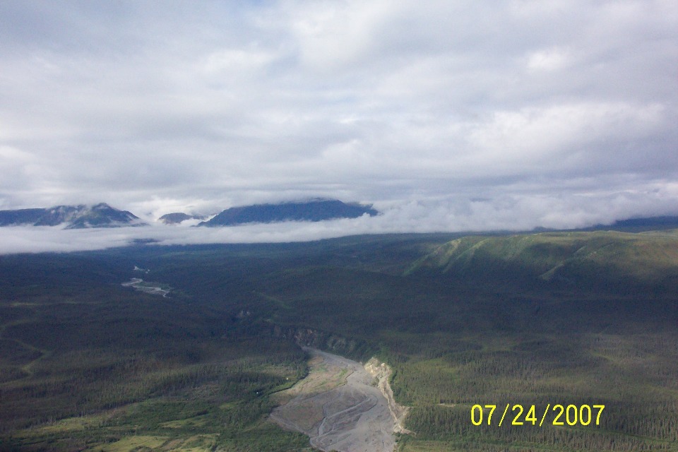
I am betting that Terry took this zoomed photo with Wendell's camera shortly
after the photo above. It shows more detail of the river coming down from the
mountains to the west.
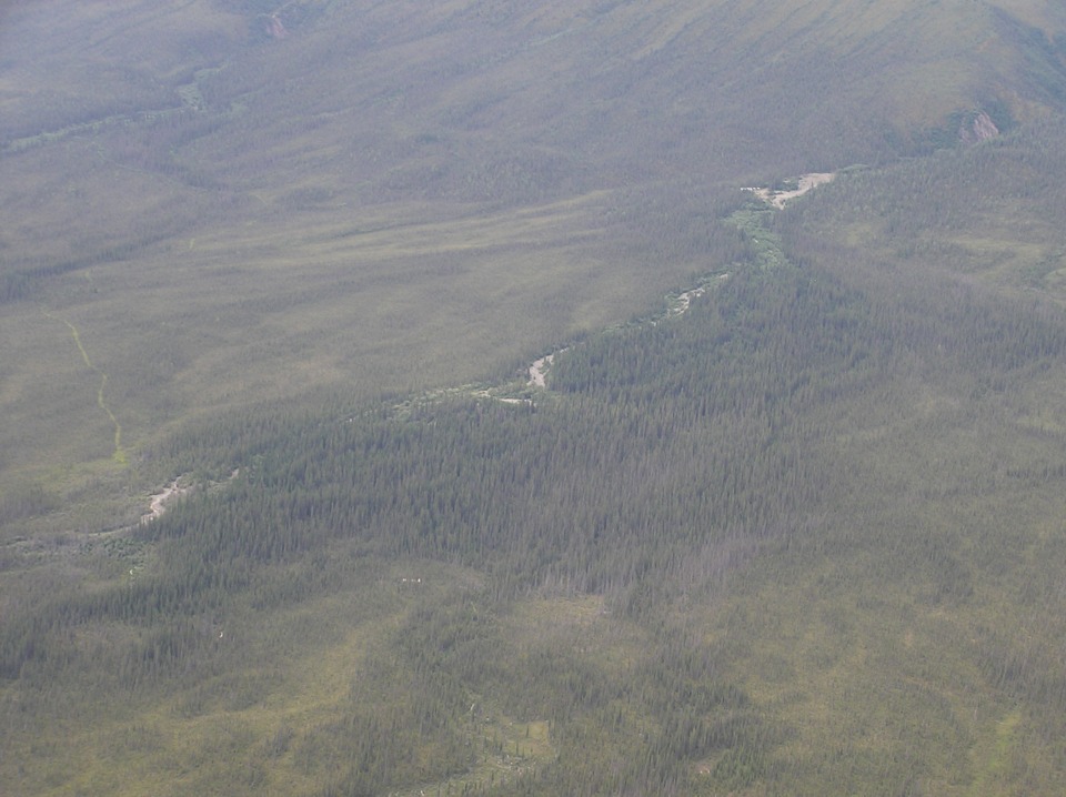
As they flew up this valley, there were some minor elements to see in the land,
including a few tracks made by the locals.
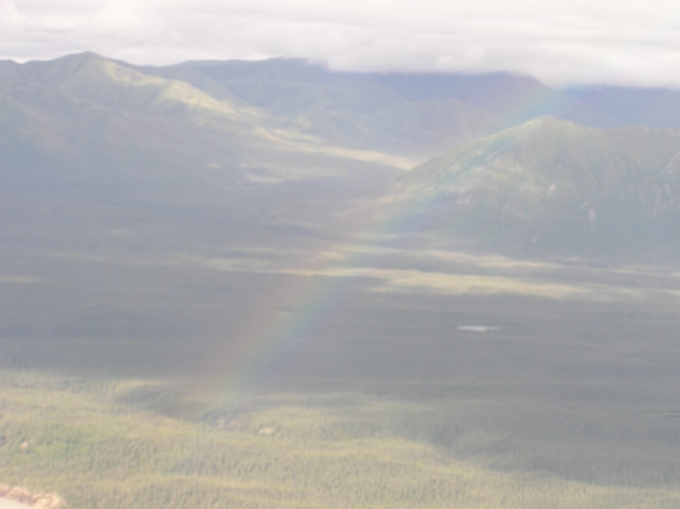
Another rainbow greets them in this area.
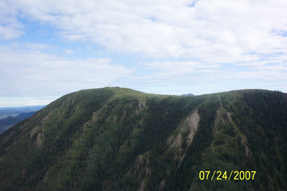
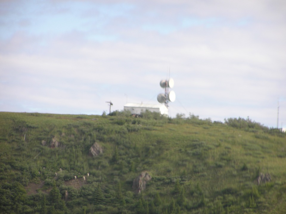
Before reaching the village of Koidern, this microwave relay station is clearly
visible on the mountain southeast of the village. This area is over 100 miles north
of the airport seen at the bottom of the previous page.
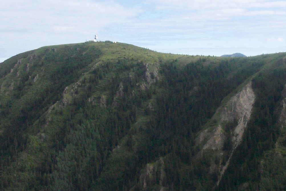
Terry pushed his zoom lens trying to get a better picture. It provides
more details, but is a bit blurred probably due to their speed as they passed by.
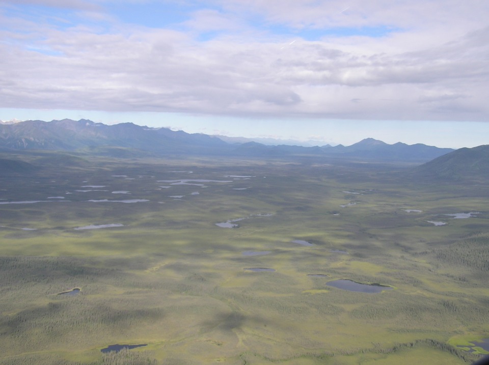
And here it is, the last photo taken in Canada by Terry as they look north of
the flight path at so many little lakes.
| Alaska Trip - PAGE 33 | ALASKA MENU | MAIN MENU |