Wendell Folks Alaska Trip - Page 22.
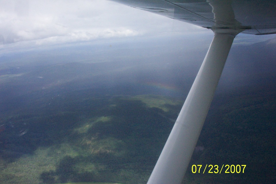
July 23, 2007: Day 4 continues with the
flight following the Liard River and the Alaska Highway heading for Watson Lake in the
Yukon Territory of Canada. The rain showers seen in the last photo of the previous
page are quickly passed without much of a problem. Do you see the mini-rainbow?
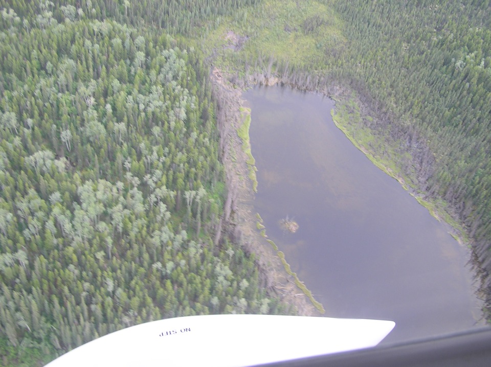
Along the way from the village of Liard River, the river joins with the Dease
River and turns northwest toward the boundary between British Columbia and the Yukon
Territory. During the descent toward the town of Watson Lake, there are a few ponds
near the highway and the route of flight of our two fliers.
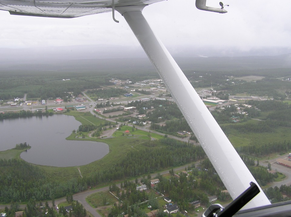
The other reason to fly low is the weather. The ceiling is getting down
lower as well as they arrive at the town of Watson Lake. Inside the town, the Alaska
Highway becomes a four-lane roadway. The airport is on the northwest side of town.
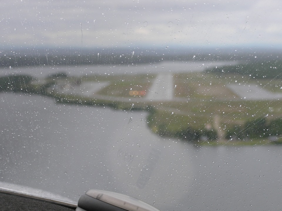
Terry's camera again focuses on the rain on the windshield as they make their
final approach to the Watson Lake Airport. Even with the camera focused on the rain
drops, the VASI lights on the left side of the runway show them on the appropriate glide
slope to the runway. The view also tells me there must be a slight cross wind from
the left.
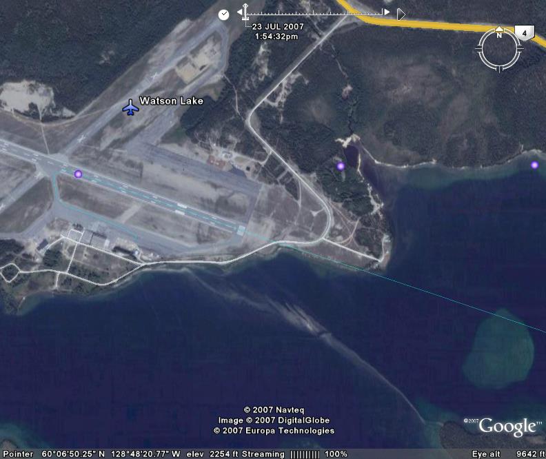
Here is a Google Earth view of the airport with the GPS ground track overlay of
the approach as the thin green line coming in from the right side of the photo. Of
course, this aerial photo was taken on a clear day. The total travel time for this
flight segment was only two hours and twenty minutes from engine start at Fort Nelson here
to Watson Lake. The GPS ground tracks including the airplane movement on the ramp at
both airports totals just over 296 statute miles. The arrival time here at Watson
Lake is at 1:14 PM Pacific Time.
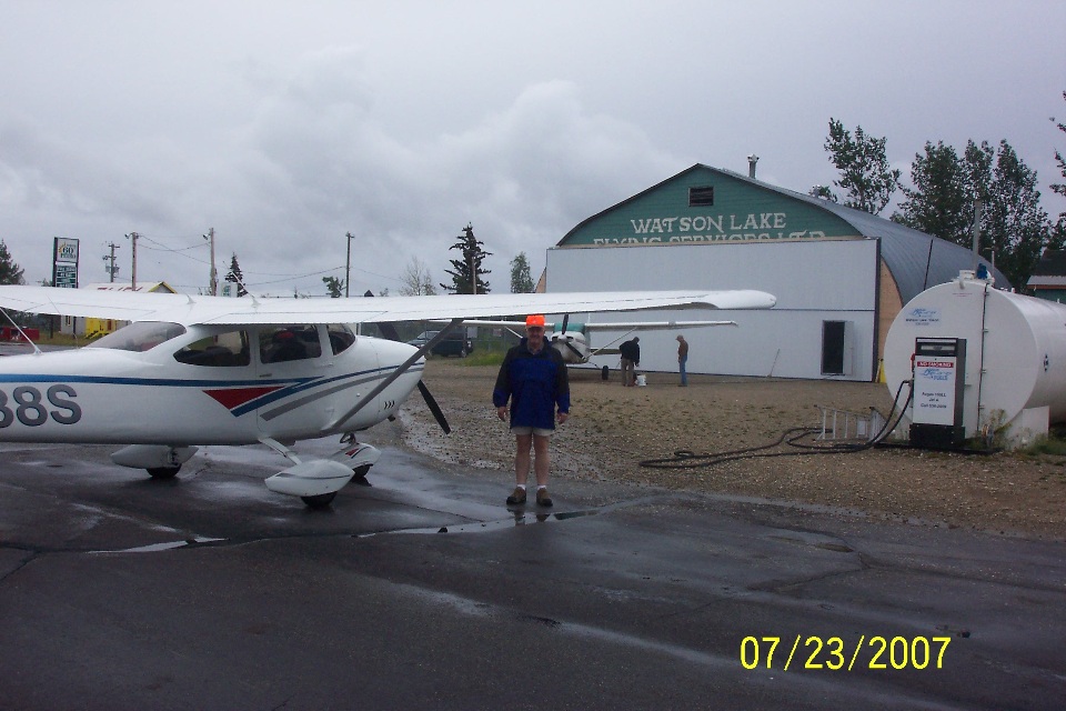
Wendell took this picture of Terry and the airplane on the ramp.
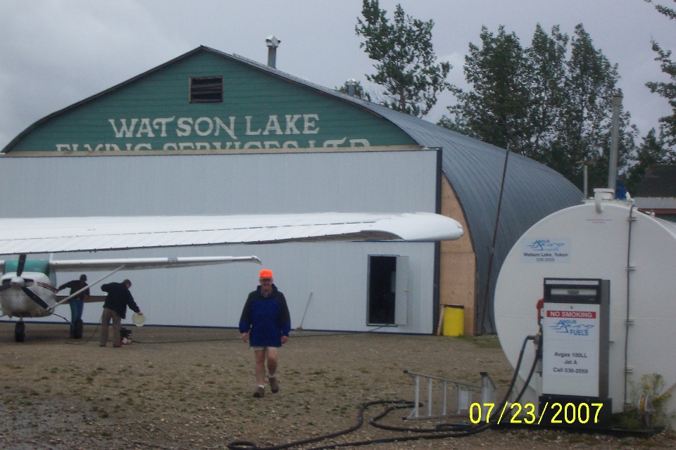
Here is Terry's photo showing a bit more detail of the FBO location where they
refueled.
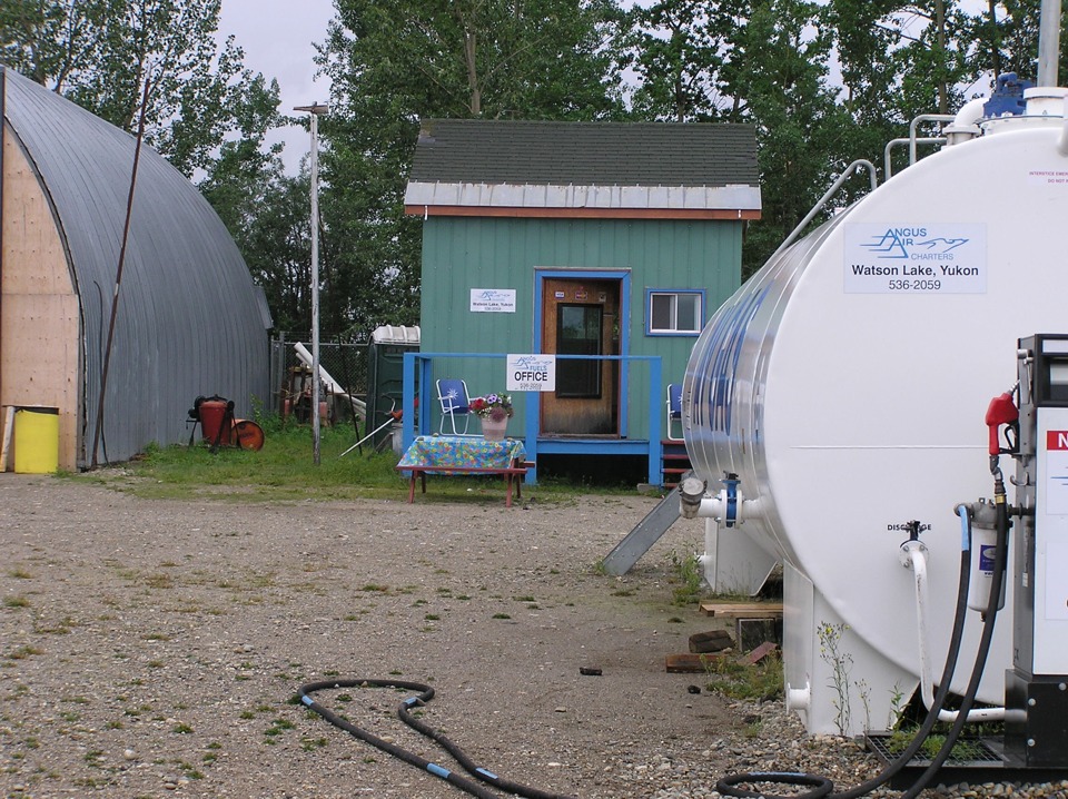
Terry was standing right about there when he took the picture above with his
camera.
| Alaska Trip - PAGE 23 | ALASKA MENU | MAIN MENU |