Wendell Folks Alaska Trip - Page 9.
July 22, 2007: Day 3 begins at Great Falls,
Montana with a flight plan to cross the Canadian border enroute to Lethbridge, Alberta to
clear Canadian customs. Terry said they got to the airport very early, filed their
flight plan with flight service (Macon FSS took the call), then delayed their departure to
insure the flight plan would be received by Canadian customs. There are still some
sights to see along the way. The first GPS data point was recorded at 7:25 AM on
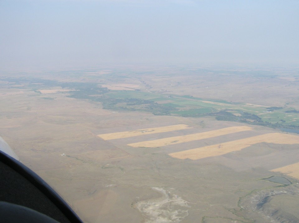
the ramp at the airport. This is the first photo taken by Terry after takeoff
looking at crop rotation farming 13 miles west of the Great Falls Airport. Route US 89 is
running parallel and north of the Sun River. The highway is near where the lush
green grass meets the open range with its brown color.
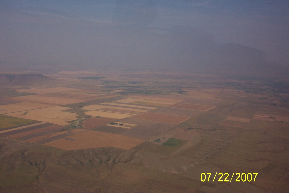
This farmland area is about 15 miles west of the Great Falls airport just north
of the Sun River, which is below the airplane and just out of this photo. The local
time when this photograph was taken translates to 7:41 AM Mountain Daylight Time.
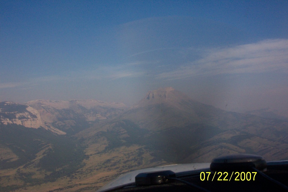
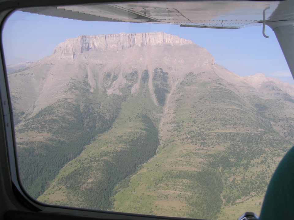
Ear Mountain rises to 8,580 feet above sea level as seen in this photo taken by
Wendell at 8:03AM Mountain Time. It is the first significant mountain along the
route today.
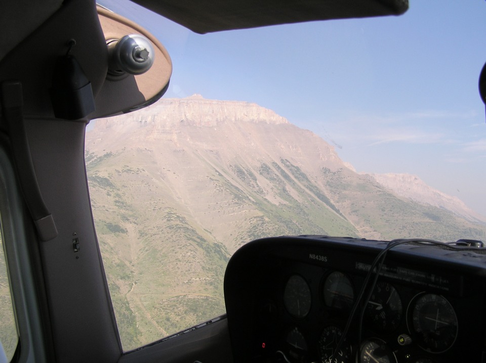
Terry takes his telephoto version of the top of Ear Mountain.
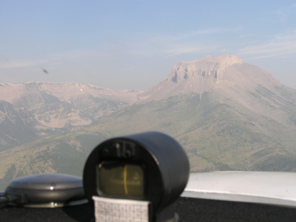
These next two shots were taken by Terry as the Cessna 182 passes within 1.5
miles of the mountain.
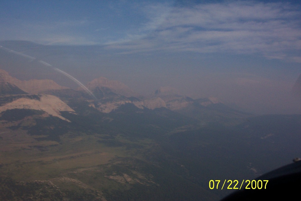
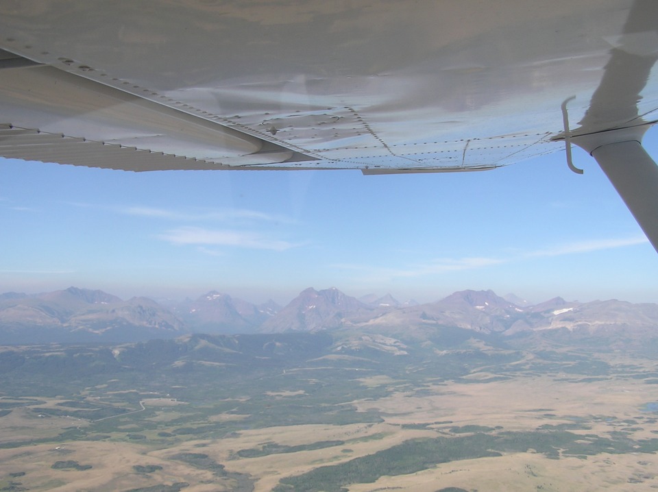
The mountains ahead have names like Mount Werner and Mount Frazier. There
is smoke up ahead coming from forest fires on the western side of this mountain range.
Wendell took this shot looking across Lower Two Medicine Lake. You have
to look closely to see the blue water in front of the mountains. Yes, there is a Two
Medicine Lake upstream behind the first range of mountain peaks. That mountain peak
at the center of the photo is Spot Mountain.
Terry's photo taken a minute or so later shows the ridge that now obscures the
lake from view. And with this shot, we say goodbye to the lower 48 states of the USA
and turn on course for Lethbridge, Alberta in Canada.
| Alaska Trip - PAGE 10 | ALASKA MENU | MAIN MENU |