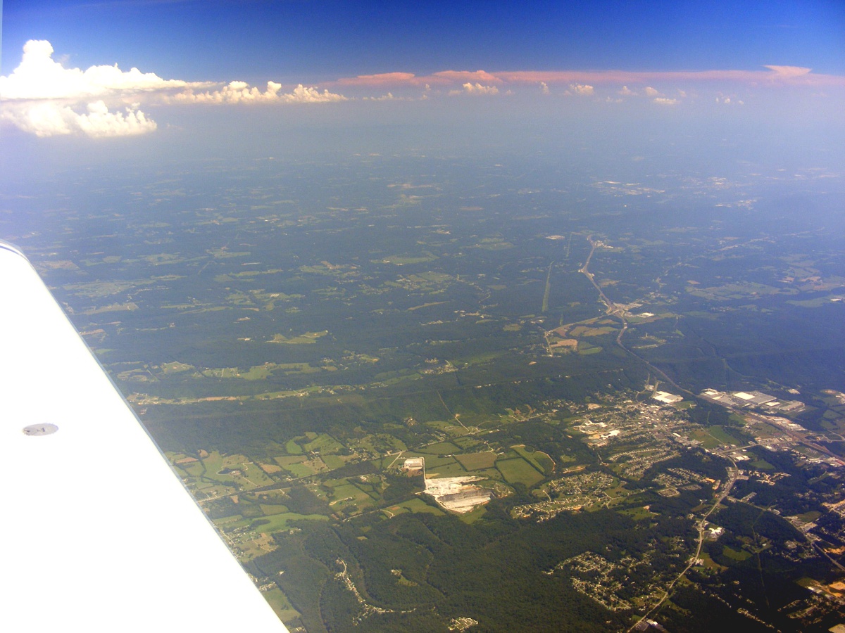
Eclipse Day - Chattanooga, Tennessee to Kennesaw, Georgia · · PAGE 423.
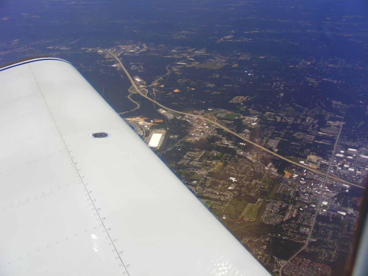
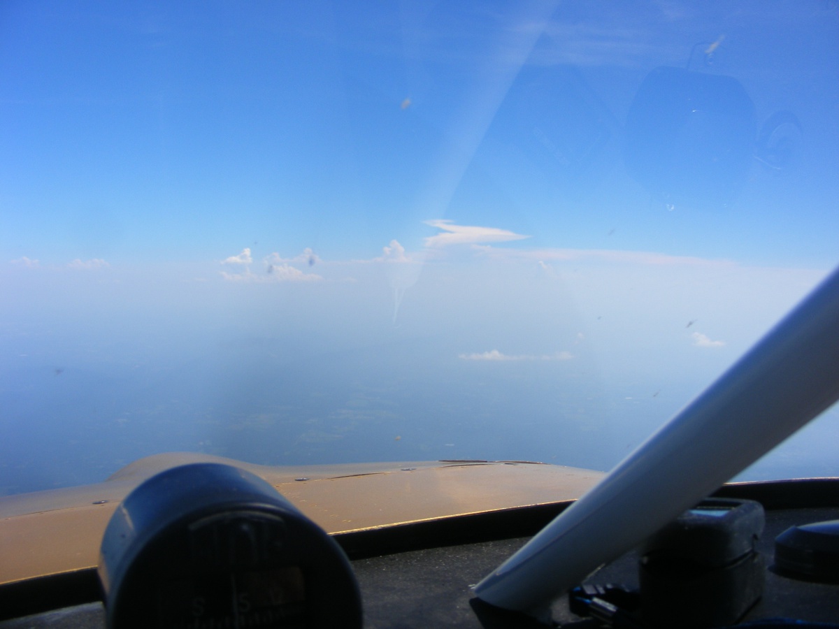
August 21, 2017: Down there is Interstate 75 coming north from Georgia out of the image on
the right side. Chattanooga has one large shopping mall down there, along with
three exits with lots of restaurants and motels as the highway is going northeast toward Knoxville over 100 miles
away. My watch band is reflected off the inside of the Plexiglas
canopy. (Click that link to learn more about acrylic windshields.)
Here is a closer view of Hamilton Place shopping mall built by CBL
& Associates Properties as this is their
hometown. The Chattanooga Airport is directly below my airplane as we fly
over at 11,500 feet on course toward Kennesaw, Georgia.
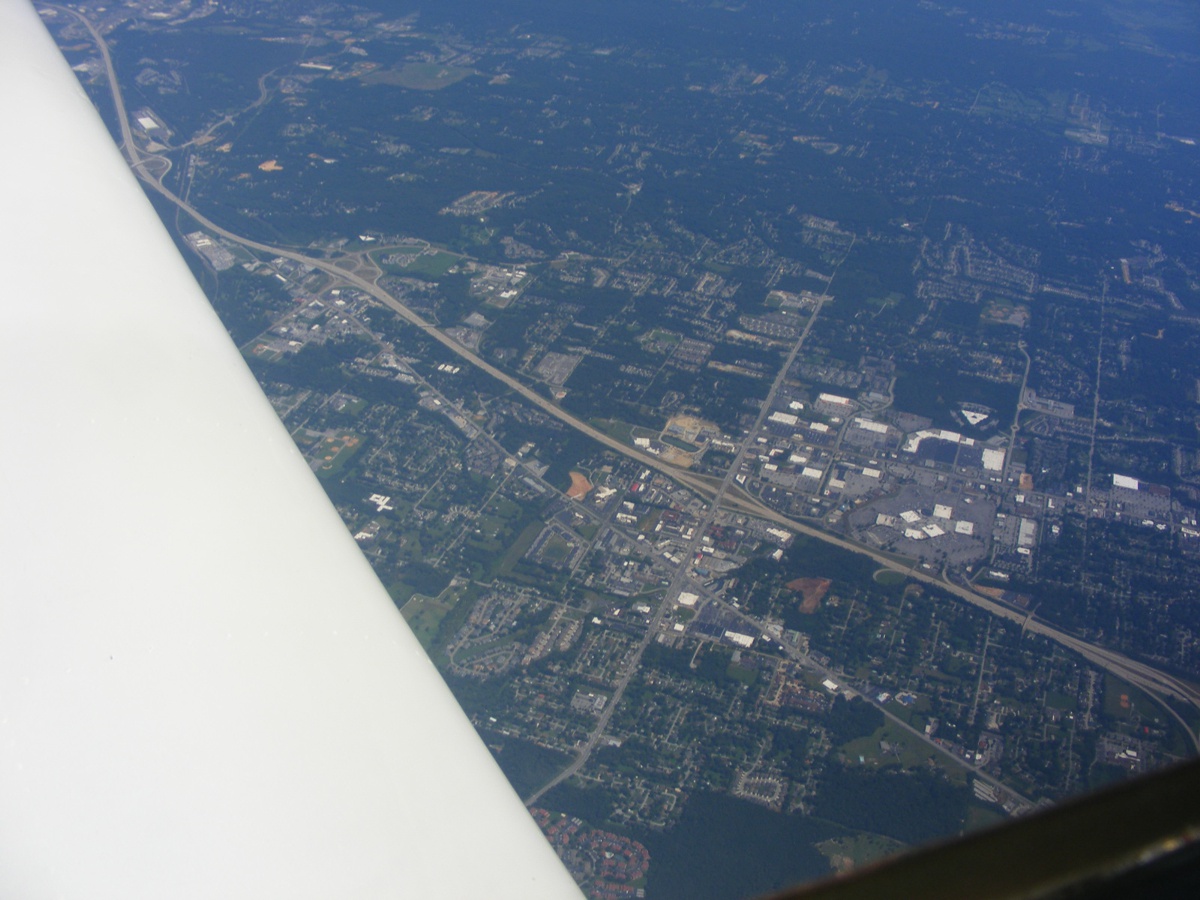
Just behind the wing on my side is the Volkswagen plant which brought a
lot of new jobs to Chattanooga. It was built on the site of an old ammunition plant
built in 1942. Use this LINK
to learn more about this important facility that brought over 2,000 VW jobs to
Chattanooga. More jobs are here in the companies that supply parts and
services to the VW plant.
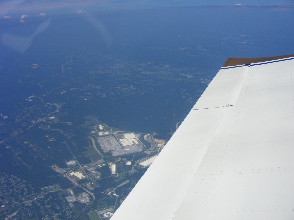
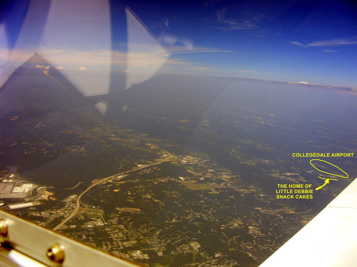
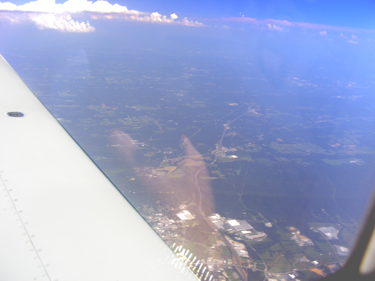
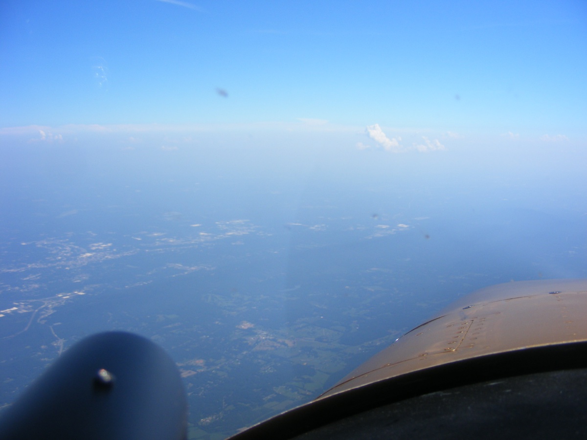
There is another view of Interstate 75 heading for Knoxville. The
Collegedale Airport where I did the final assembly of this airplane is barely
visible at the right side of this photo behind my wing. Oh, How Far We
Have Traveled in 12 years! I would drive by that Little Debbie location
twice a day in May and June 2005 and it really smells good when you pass the
main plant with all that baking equipment venting aromas to the outside
world. McKee Foods currently has FOUR
bakery locations across the country in Tennessee, Virginia, Arkansas, and
Arizona.
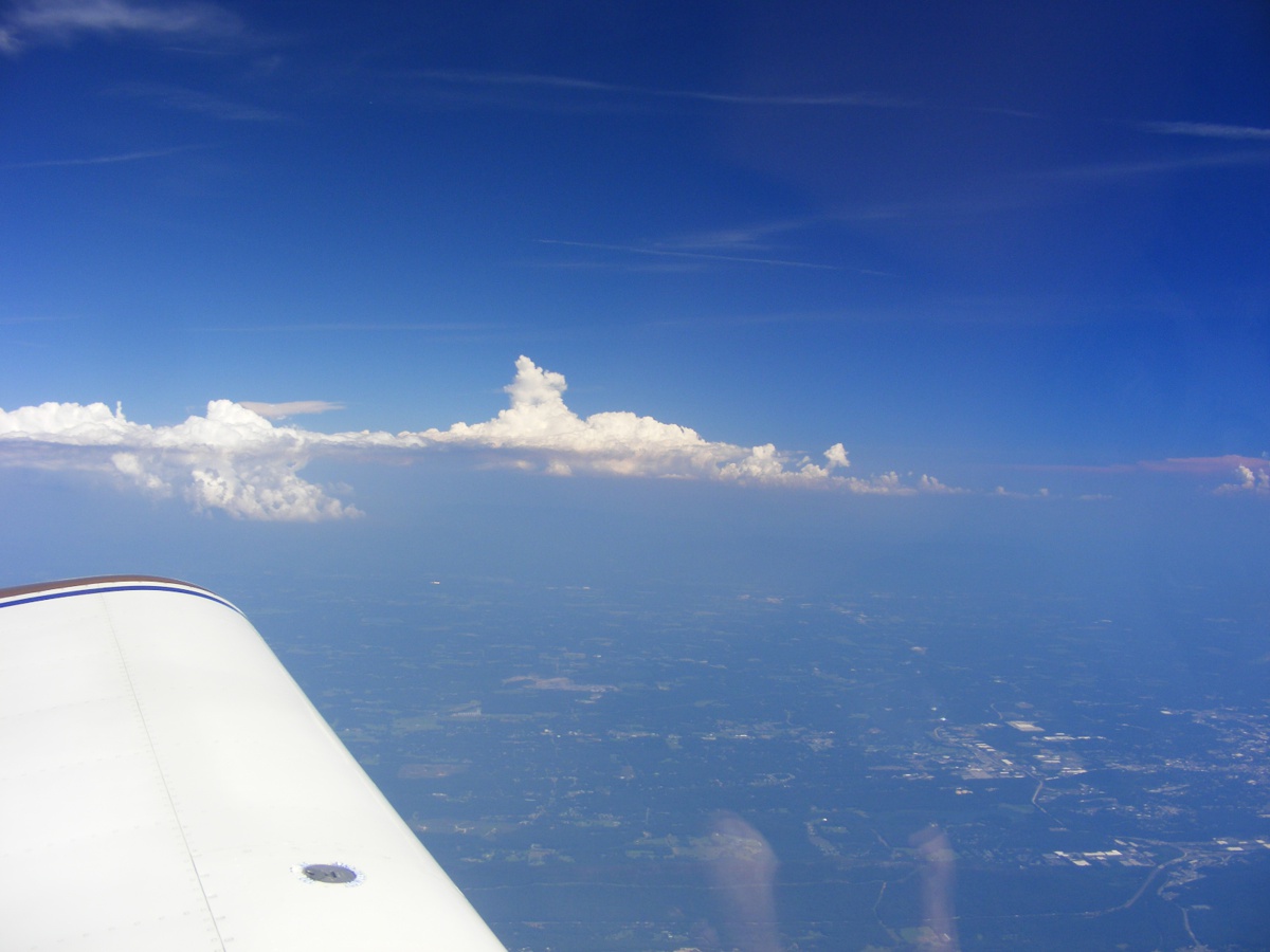
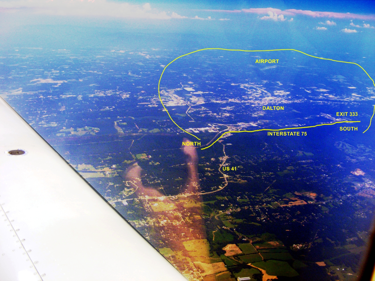
Looking ahead on my side, we have crossed into North Georgia with the town
of Ringgold in the lower right corner of this image.
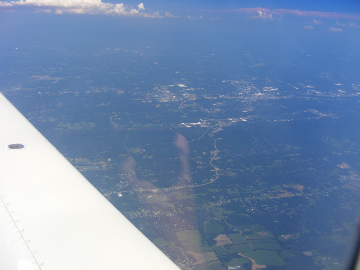
Interstate 75 is winding its way to my home town of Dalton, Georgia lost
in the blue haze from this vantage point.
US 41 is that highway cutting across the middle of the image left to right
before
turning East to pass by a ridge named Rocky Face on the way to Dalton, Georgia.
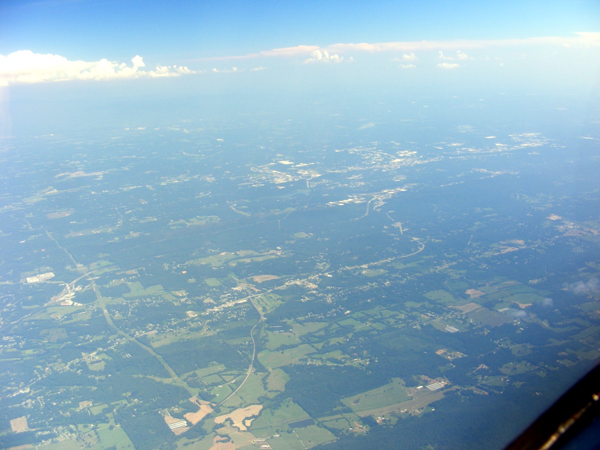
Dalton is the string of buildings you see near the center of this
photo. I grew up in this town from 1947 until I joined the US Army in the
summer of 1968.
My GPS points the way to our next stop at McCollum Airport at Kennesaw,
Georgia beyond the haze.
That ridge down there is the western barrier for the city of Dalton.
I-75 Exit 333 is the heart of the restaurants and motels that serve
travelers as they use this major interstate route going NORTH and SOUTH. That area in
the bottom right corner of this image is Exit 333 with lots of hospitality
businesses.
Dalton, Georgia area photo from 11,500 feet MSL.
Here is the same photo above after enhancement and labels added.
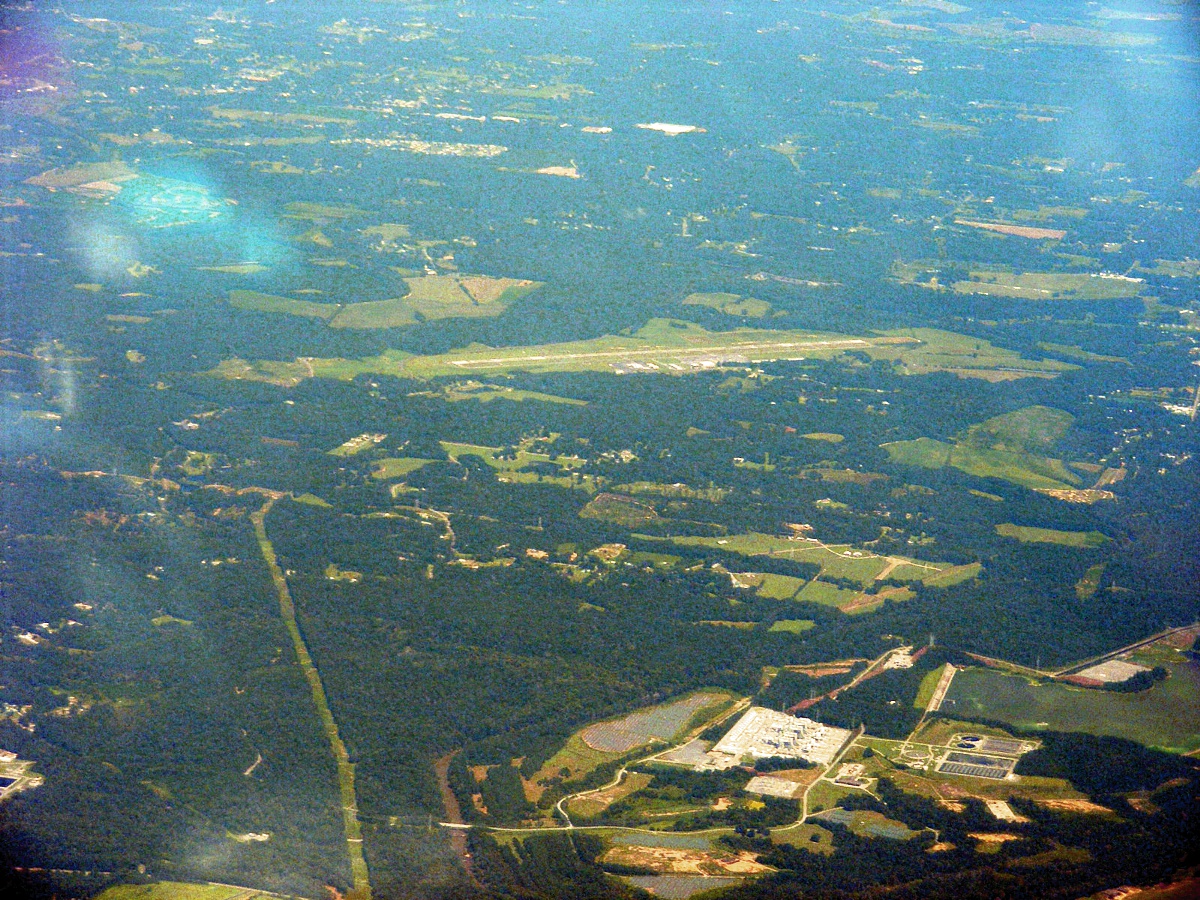
Dalton has an airport with an ILS approach that I have used to test my
navigation receiver when I lived in this area. The airport is about 8 miles
southeast of the city. I used my zoom lens action and processed the image
on my computer to enhance the ground color patterns.
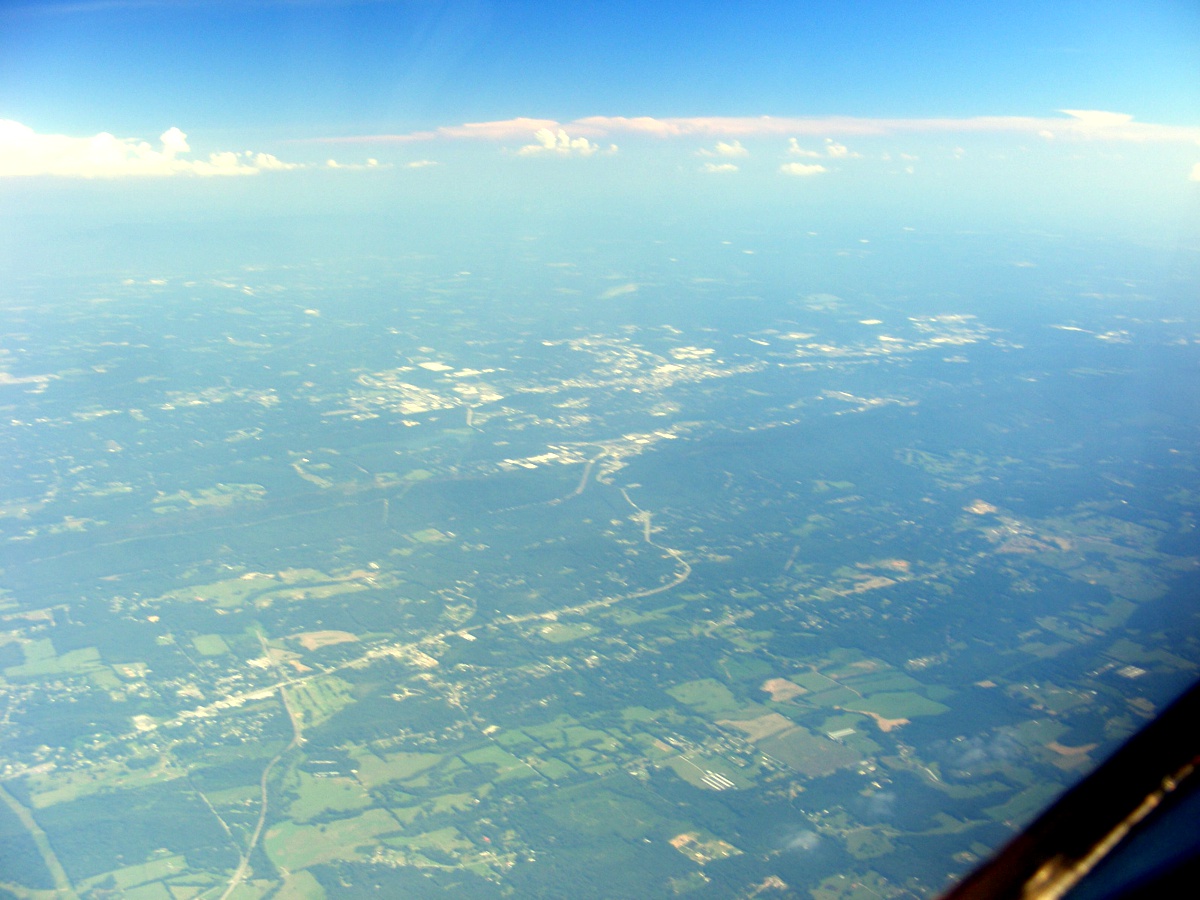
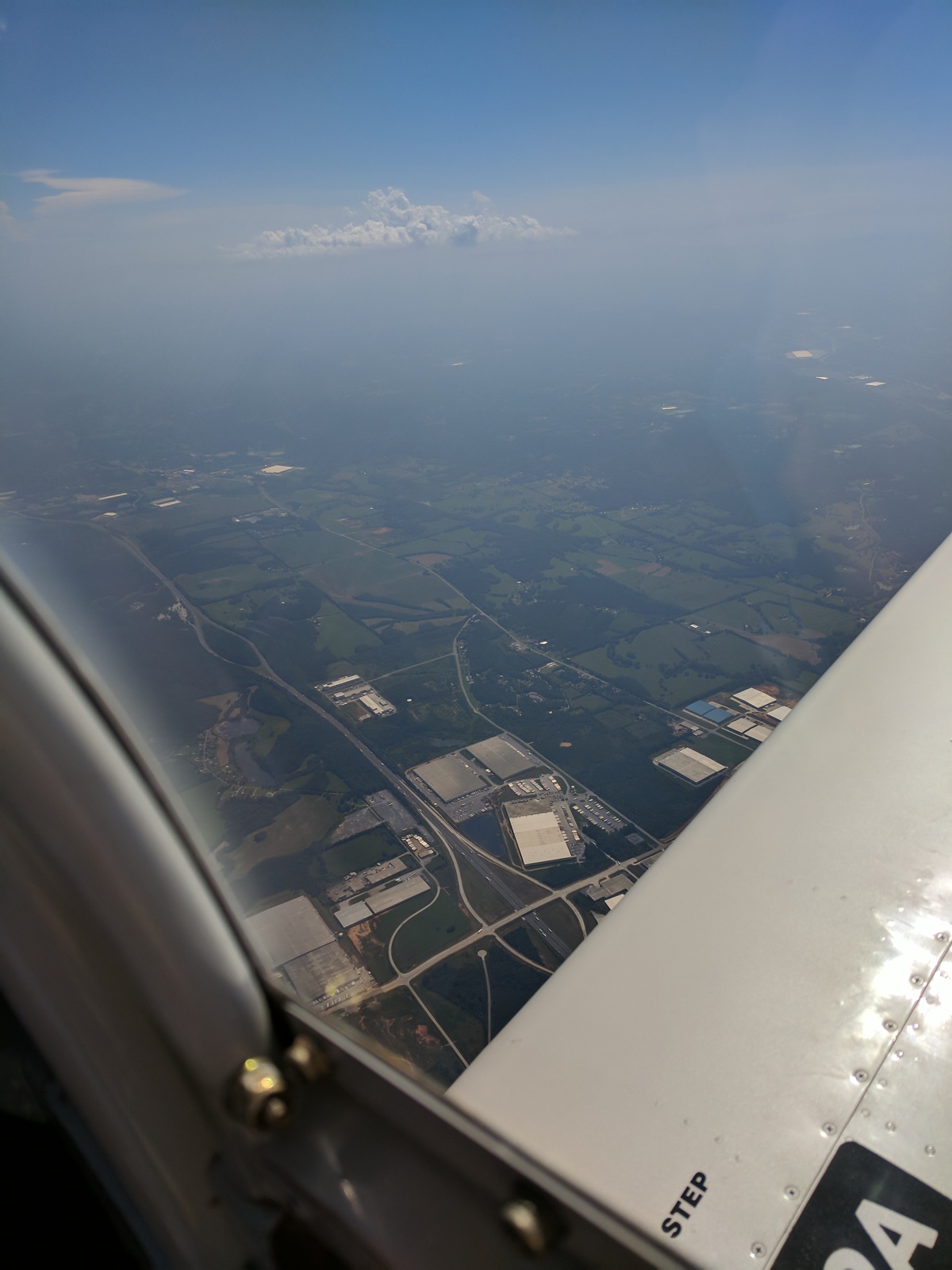
About 23 miles south of Dalton is this new exit at I-75 mile marker 310
that serves a number of carpet plants and warehouses. Multiple exits from
Ringgold to this location seen below service the carpet industry that started in
Dalton so many years ago. Next stop is McCollum field at Kennesaw.
| CLICK HERE for PAGE 424 | Return to MAIN MENU |