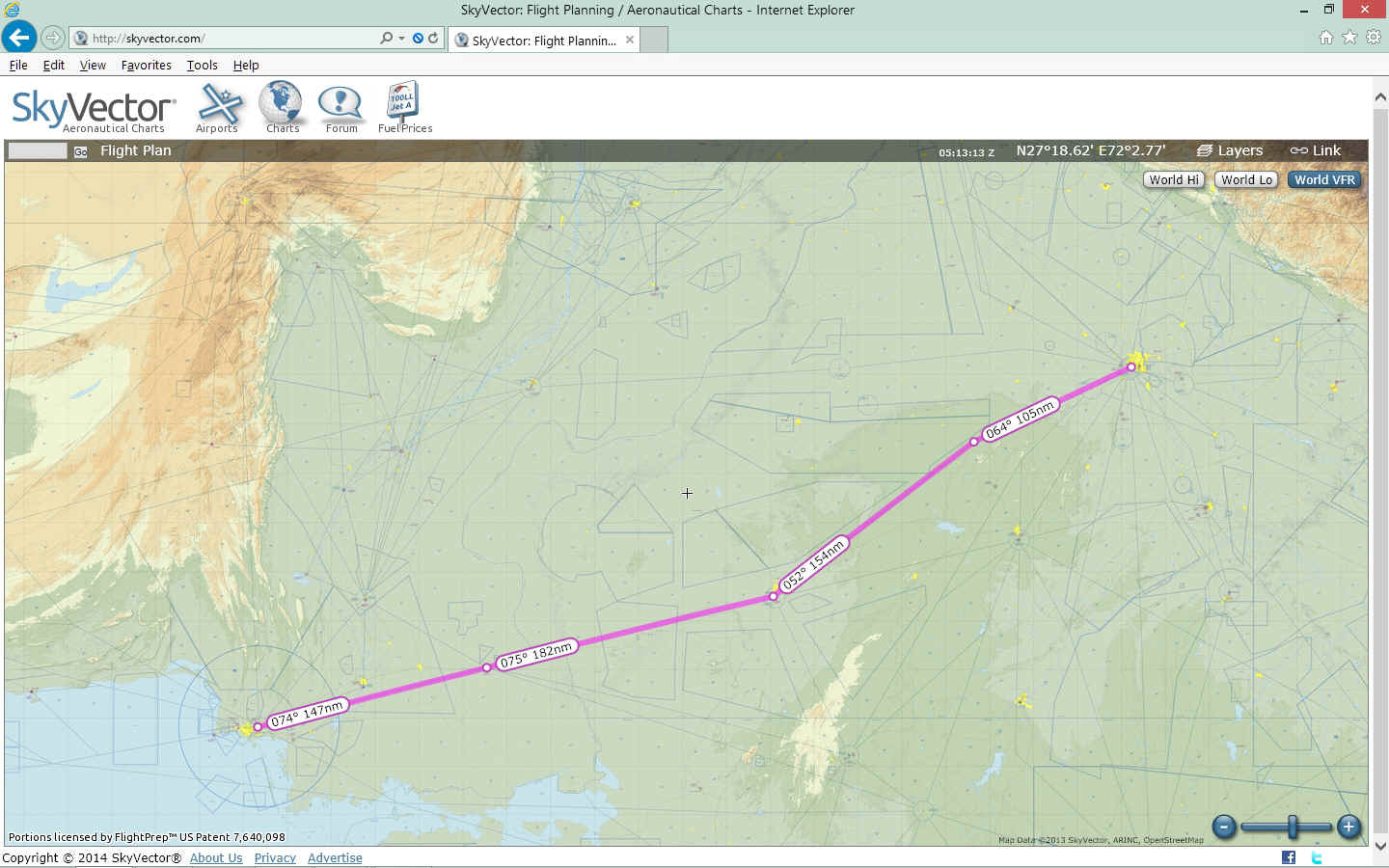
Karachi, Pakistan to New Delhi, India · · PAGE 9.
April 5, 1964: The flight from Karachi,
Pakistan to New Delhi, India was an easy ride of 4.5 hours in clear weather all the way.
I made this flight path from the waypoints she mentioned in the chapter. Like
Cairo, it took a long time to get all her paperwork ready for departure. Six hours
after she began with the help of two women aviators, Jerrie finally was ready to depart in
38 Charlie. The things she learned in Karachi filled several pages of her book.
Some of it was about social status of the locals, and the customs that are strange
to Americans. Let's go flying to New Delhi, India.
One little thing that pointed out how full the Cessna 180 was with "stuff" was where to put a gift she received before departure. Champion Spark Plugs is one of her sponsors. The local Champion people presented her with a small brass dinner gong as a souvenir. She finally found some space to squeeze it in on top of the oil reserve tank under the map table.
UPDATE - JULY 5, 2015: The Google Earth tour file for Karachi to New Delhi is now posted as part of Jerrie Mock Flights 5 zip file on the Google Earth tour download page of this web site. Load it up and lets go. Now you can takeoff with Jerrie and make the landing in New Delhi at the end of the flight which is 4 hours 36 minutes in length. Use the fast forward until you see something you want to examine.
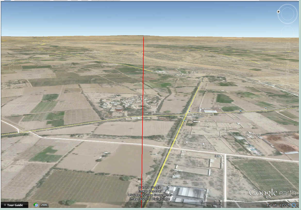
The land near Karachi is part of the Indus River valley with plenty of fertile
land as seen here. It is not as green as Kentucky, but for desert land, this is
good!
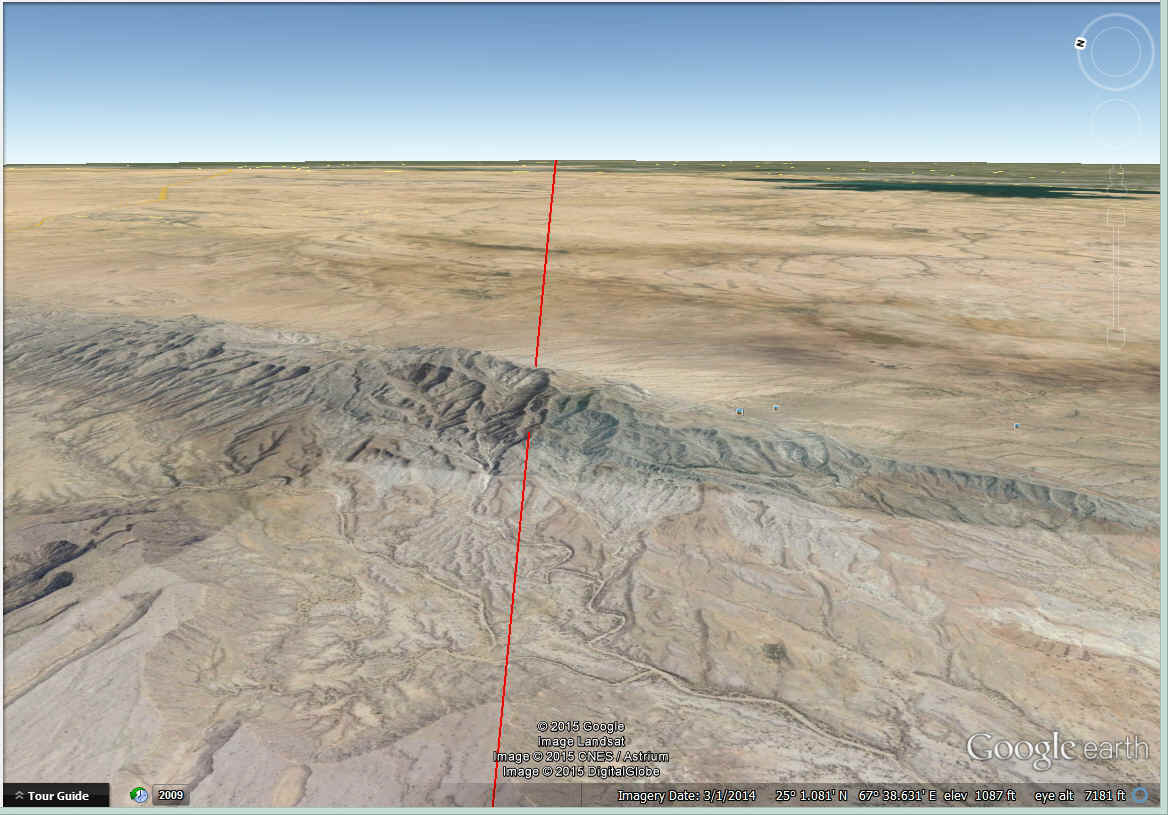
A little further west some 1,500-foot high ridges are along her route and the
desert appearance here is from the lack of rain in this area, but as you can see, there is
water and green land ahead.
Jerrie wrote about this part of the flight: "April 5 was a beautiful,
cloudless day, just made for a pleasure flight. Navigation is no work on a day like
this, so after getting Charlie headed on course, I stretched out comfortably to eat a food
bar and enjoy the scenery." Looking north of her course from about 7,000 feet,
the Indus River is about 36 feet above sea level. The city of Hyderabad was built
here since there is plenty of water flowing down the river from the mountains far to the
north.
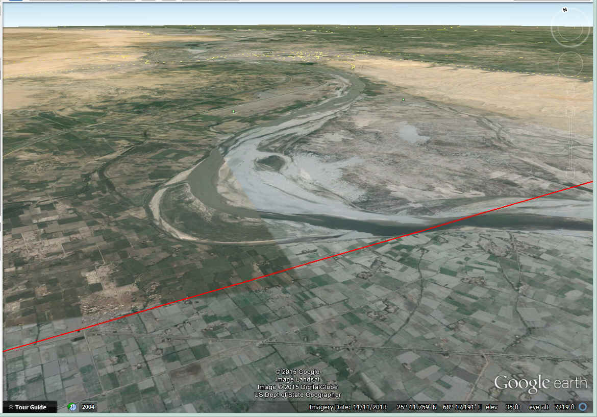
This railroad bridge is upstream from where Jerrie flew across the Indus River.
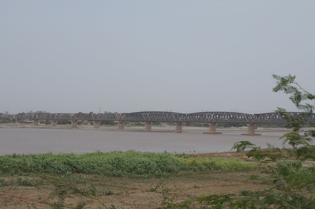
The view below shows her course line and the bend in the river with rich silt
deposits that make this valley so fertile. The course line across that sandy area is
only about five miles in length and is barren as you can see. It is higher ground
compared to everything else you see here. The part of Pakistan beyond that area is
flat, where irrigation canals are easily built. All that green area beyond gets
water from the Indus River from some canals hat begin over 200 miles to the north.
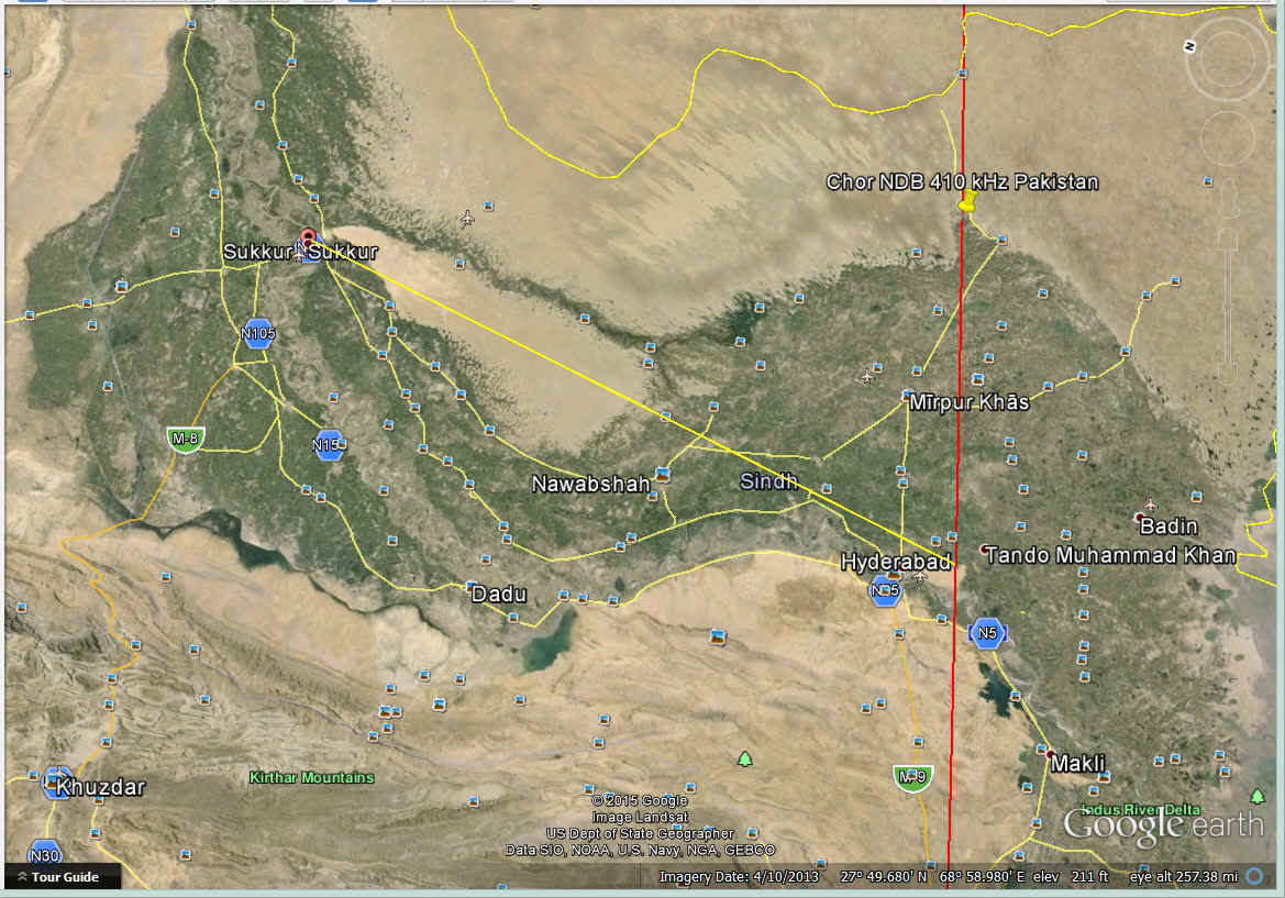
This image below is seen from over 250 miles up and shows how all this green
part of Pakistan is created by a system of canals. Much of the water comes from the
Himalayan Mountains. There are monsoon rains over these low areas that vary from
year to year. Jerrie talked at length about this area on pages 136 and 137 in her
book. She mentions weather, and the coming of the railroads when this area was ruled
by the British in the years before independence in 1947. She did her research to
understand more about what she was seeing out the window as she traveled. The view
below also shows the red course line heading northeast toward New Delhi, India.
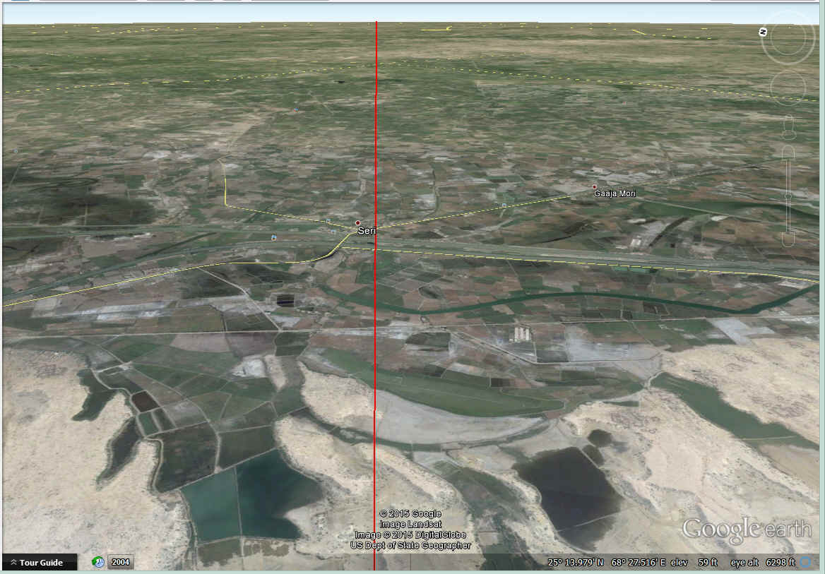
The next image shows the area where the yellow line seen above meets her red
course line near Hyderabad seen in the image above. Irrigation canals run everywhere
in the land ahead. This is LOW country that is easily irrigated, with water stored
in pools as shown near the bottom of this photo. Jerrie saw all of this on April 5,
1964.
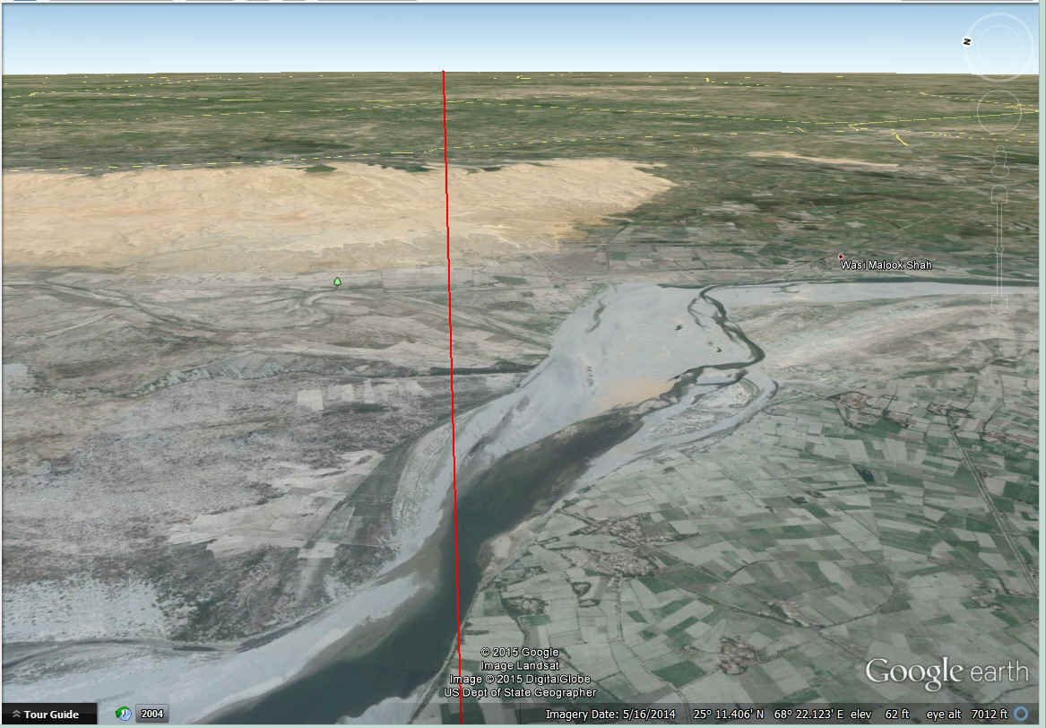
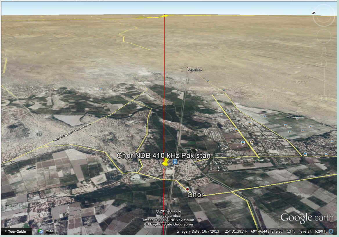
The village of Chor, Pakistan is at the end of the farmland where the desert
takes over looking East. That NDB is 169 miles from the Karachi Airport, a little
more than one hour of flying time for Jerrie. The border with India is the yellow
line out there near the horizon only 55 miles away on her course line. The thin
yellow line closer to Chor is a highway heading for the border crossing with India.
Entering Indian Airspace in the Desert
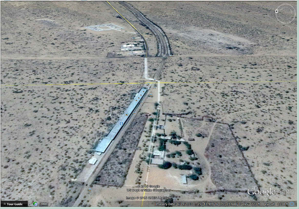
There are lonely border crossings out in the desert of many lands. Here
is one between Pakistan and India. The folks on the ground know where the border is
located, even if the Google people got it wrong with their yellow line running from left
to right across this image. Trains and a road for vehicles cross the border
here. That long blue roof building is a train station on the Pakistan side of the
border.
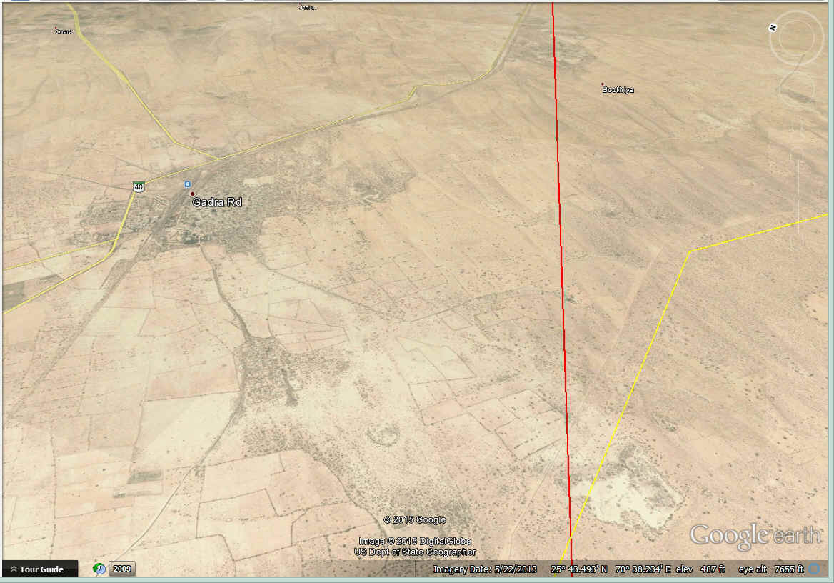
This photo shows where Jerrie crossed the border into India. The Google
Earth border is the yellow line on the right side of the image.
This new image is part of the one above showing what appears to be an Indian
border patrol station south of the town seen above. The information that makes this
a border patrol post is the fact that it is located at the end of the pavement from the
nearby town. It is directly under the course line Jerrie flew that day using
waypoints between Karachi and New Delhi. There is a graded dirt road running out to
the border fence. The dirt road next to the fence is ONLY on the Indian side of the
fence. 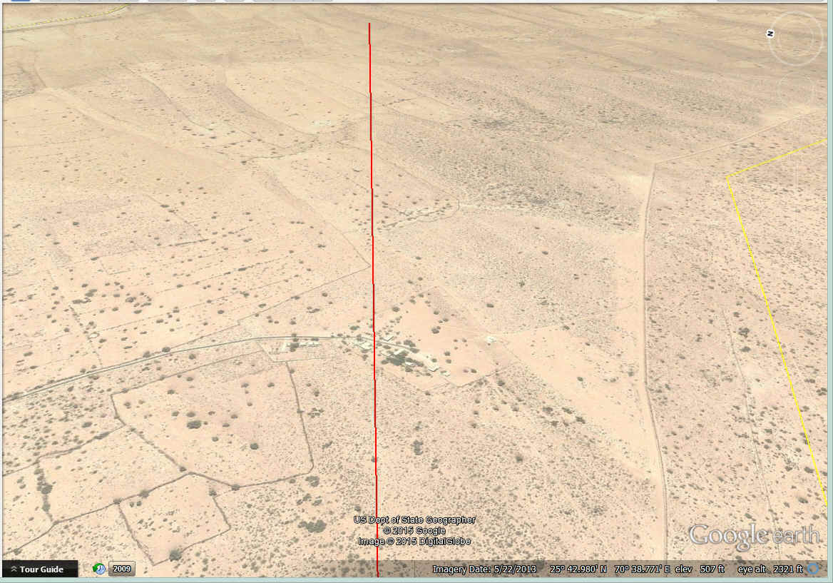
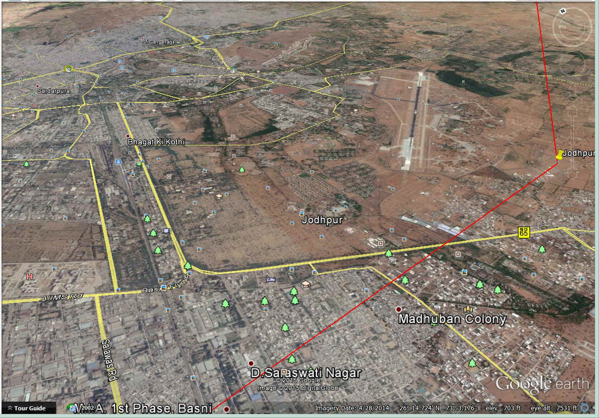
The first good-sized town on the route to Delhi is Jodhpur with its airport and
navigation beacons. I placed the yellow push pin to mark the radio navigation
beacon. the red line is Jerrie's route heading northeast toward New Delhi.
The last heading change on the path to New Delhi International Airport is way
out in the country at BADAT intersection referenced from TWO VOR stations.
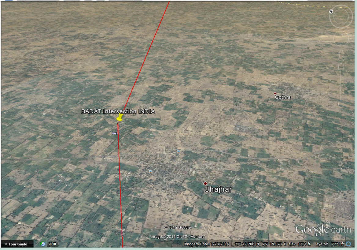
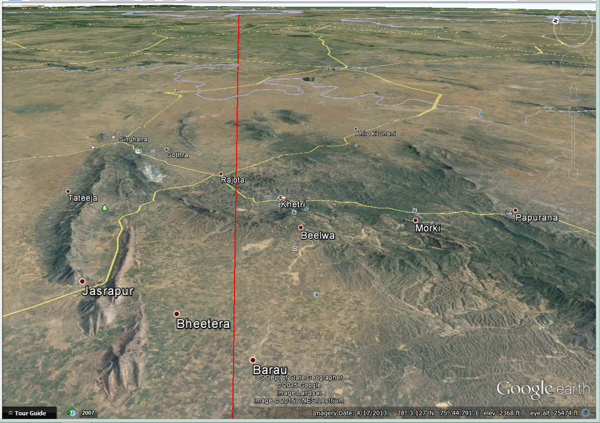
There are a few small mountains along the way, but none are higher than
2,500 feet.
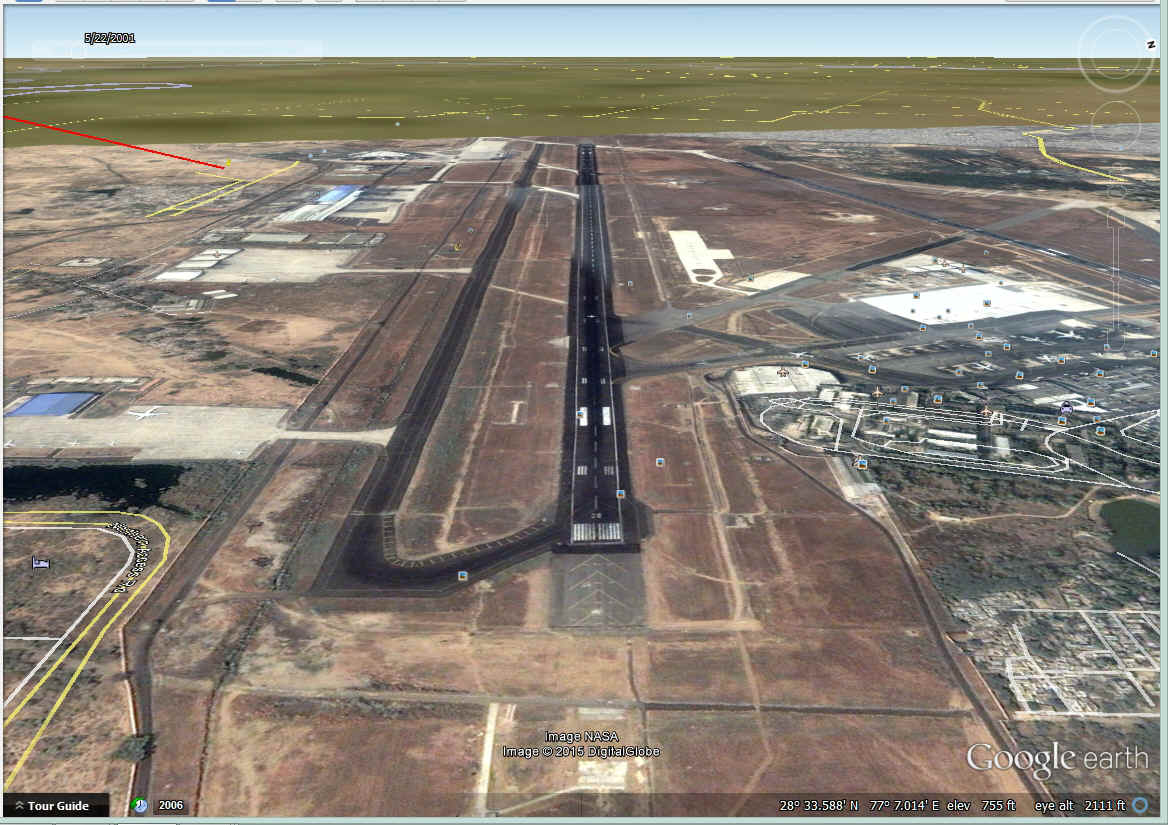
Here is an older photo of the New Delhi International Airport taken in January
2001 showing the approach to runway 28 from the East.
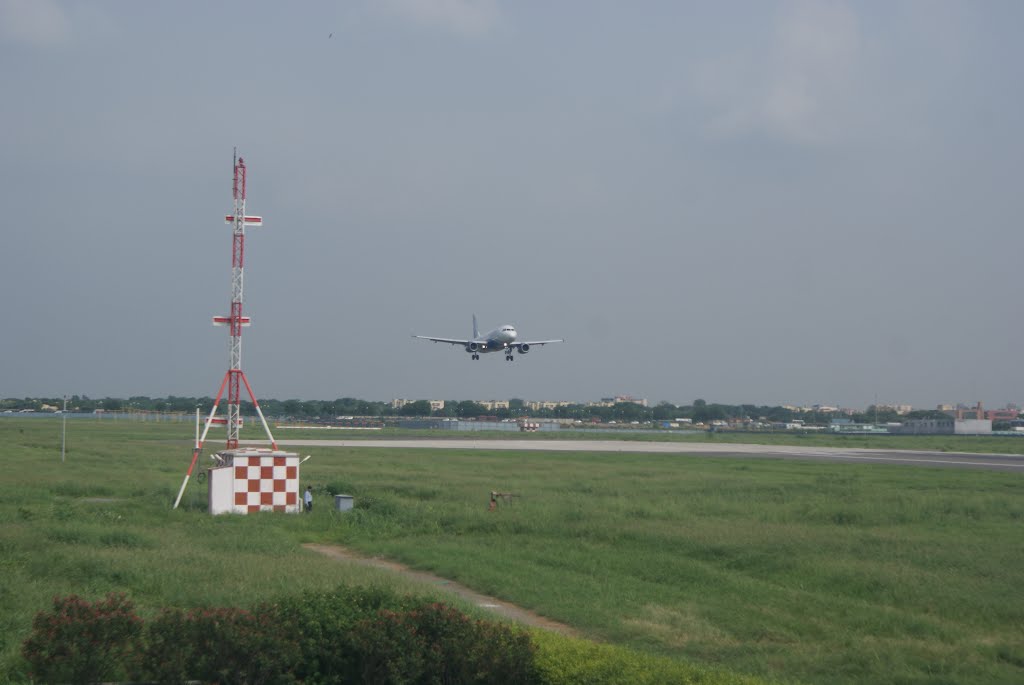
Here is a modern airliner on final approach to runway 28 with the glide slope
transmitter antennas for that runway. These three antennas on this mast tell the
pilot if he is too high or too low on the approach. They are used in bad weather,
rain, fog, etc. Jerrie had the equipment in 38 Charlie to make an instrument
approach to a runway equipped with this ILS system.
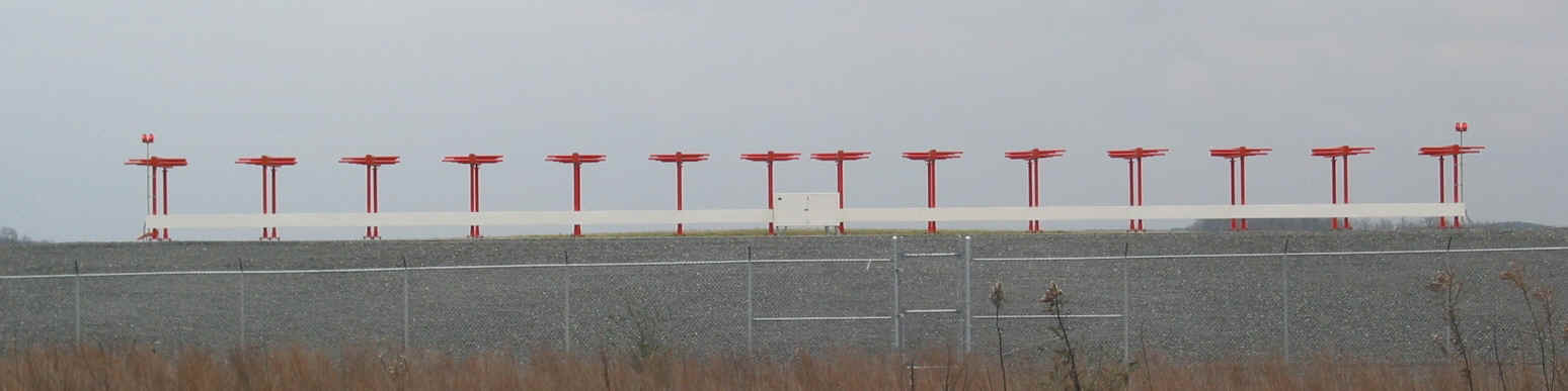
A localizer antenna array is aligned with the runway center line at the
opposite end of the runway from where the glide slope antennas seen above are installed to
one side of the runway. The localizer antennas are designed to have a narrow radio
beam that tells the pilot whether he approaching to the RIGHT, LEFT, or ON THE CENTERLINE
of the runway in weather conditions that limit forward visibility of the runway.
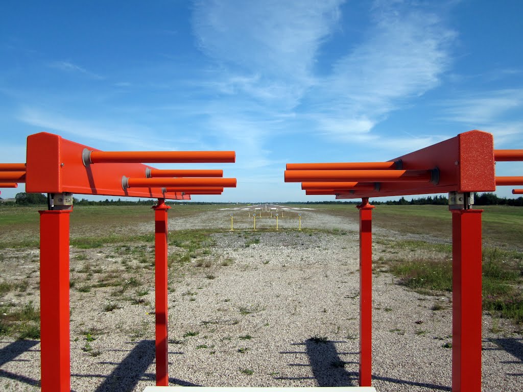
This close-up photo shows just TWO of the antennas above. This is a log
periodic antenna array. These are the two antennas at the CENTER of the group of
antennas above. The runway touchdown zone and center line are visible ahead in this
photo.
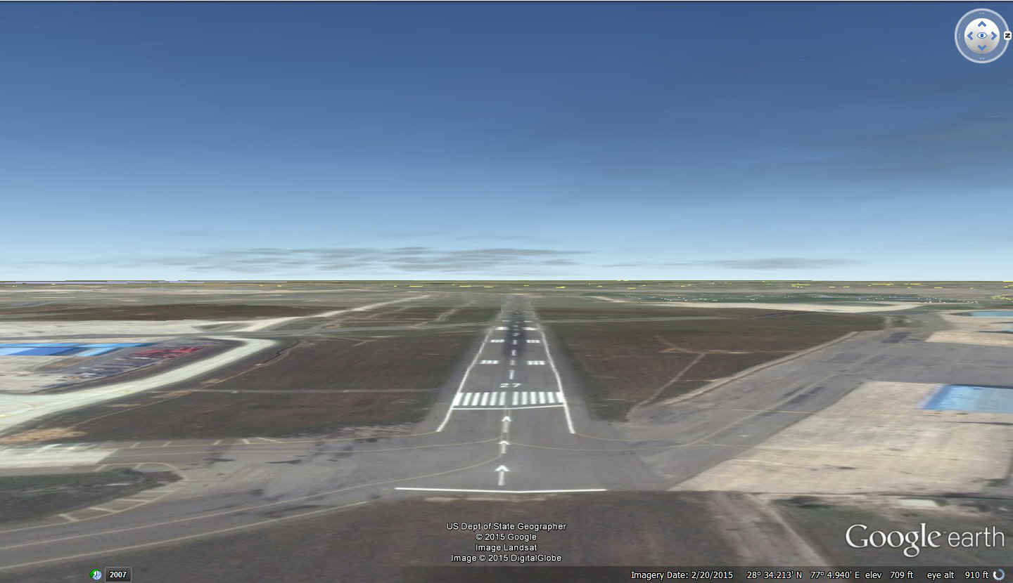
Jerrie Mock was cleared to land on the shorter runway 27 used for most domestic
flights when she arrived at the New Delhi Airport. The image below is captured from
the Google Earth GPS tour file I created for the flight segment from Karachi to New Delhi.
There are very few 3D objects to be seen on the approach to the airport and after
the landing during the taxi to the most likely place where she parked the airplane near
the old terminal from her 1964 landing here. The Google Earth image seen below is
current as of July 5, 2015. (You may need to use the browser slider bar at the
bottom of your screen to the right side of the image below.)
| CLICK HERE for PAGE 10 | CLICK for Jerrie Mock MENU | Return to N2PRISE MAIN MENU |