June 8, 2022: The sunlight will soon be fading as we head toward the EAST EXIT from Yellowstone. Google Earth always provides daylight images, so you will have to take my word for it when the sun goes down behind us as we travel EAST.
June 2022 Vacation Day 17, Yellowstone National Park
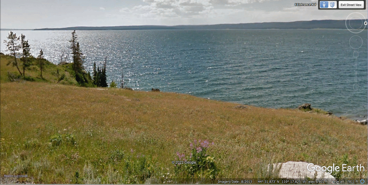
Buffalo Encounter · · PAGE 45.
June 8, 2022: The sunlight will
soon be fading as we head toward the EAST EXIT from Yellowstone. Google
Earth always provides daylight images, so you will have to take my word for it
when the sun goes down behind us as we travel EAST.
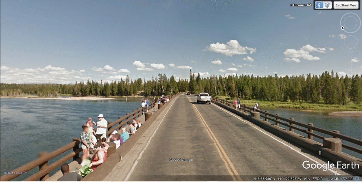
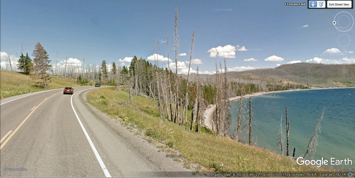
When we were leaving the park going East, we had a minor traffic jam when
two cars in front of us stopped to see some BUFFALO at this point on the
highway. I was able to match this Google Earth image below to the next photo
taken by Linda.
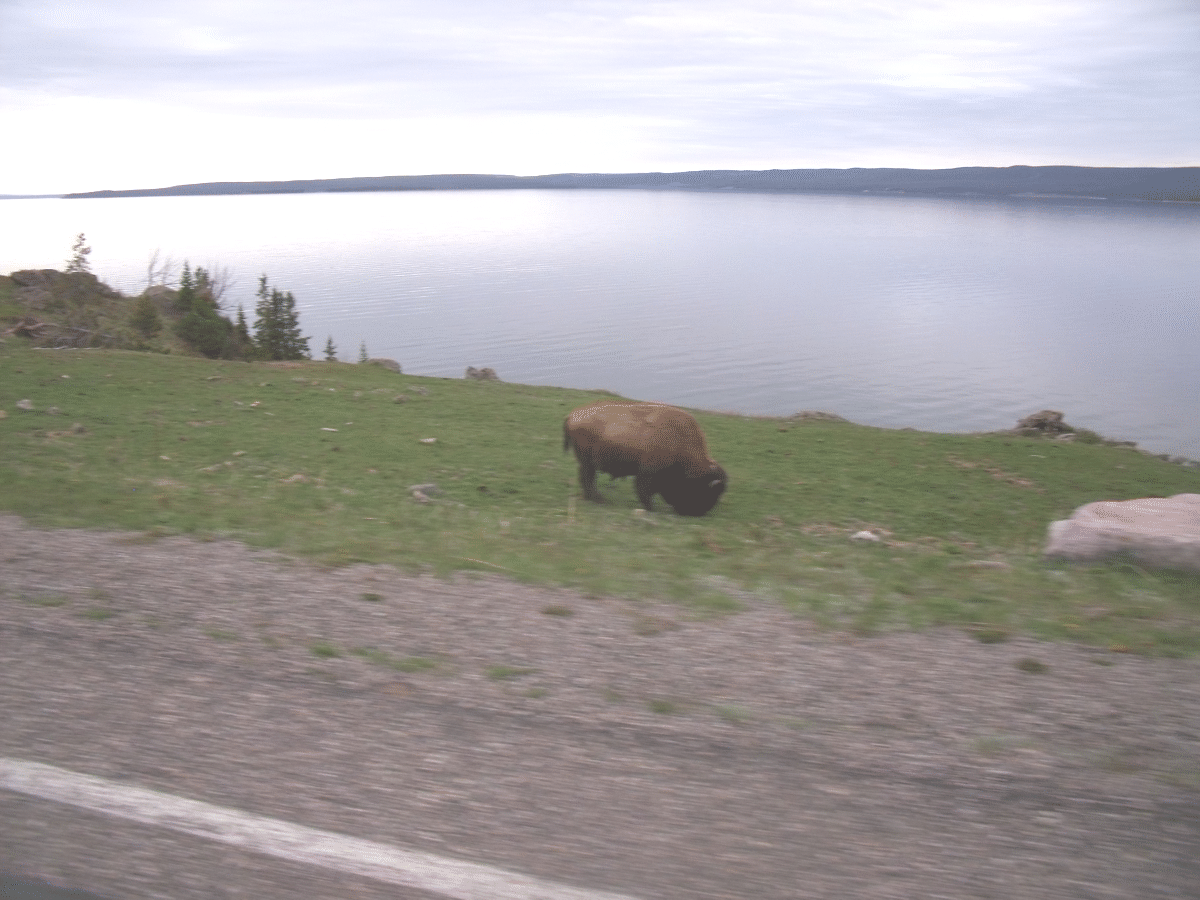
Here is one of the Buffalo grazing in this photo taken by Linda as I was
watching the other Buffalo.
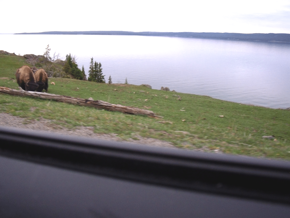
Here are two more grazing on the grass.
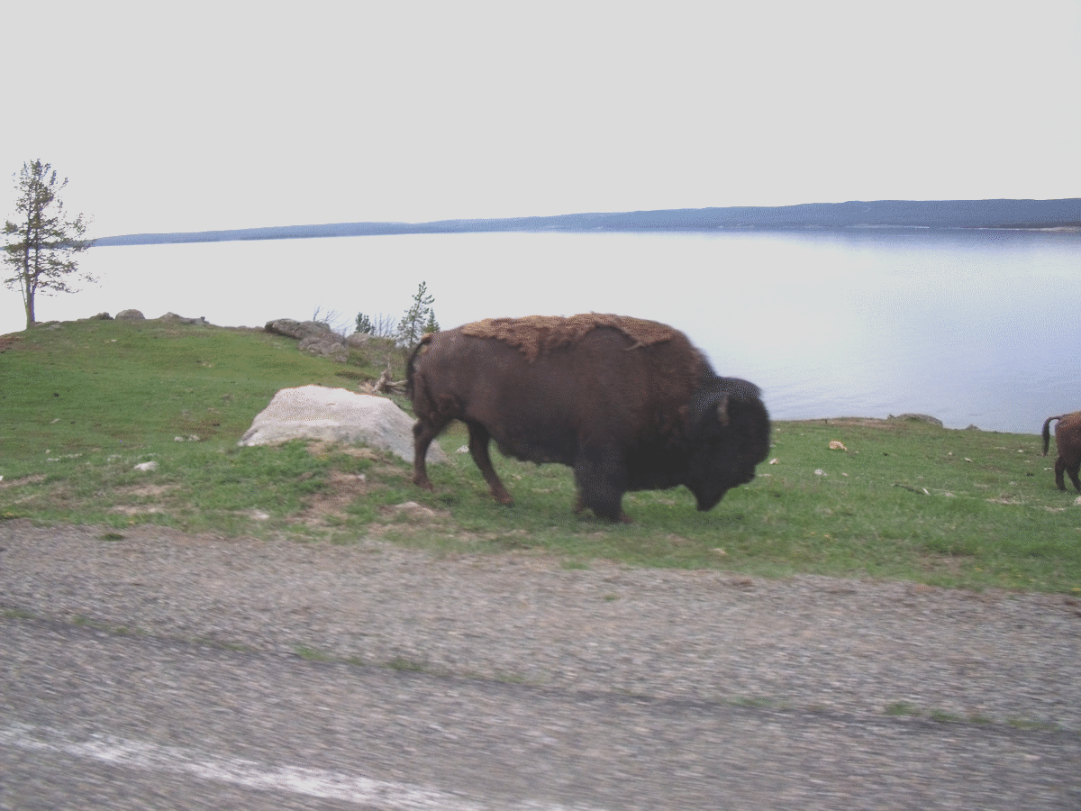
This is the LAST Buffalo who was walking slowly in the Westbound lane to
get past the two cars stopped in front of us in the Eastbound lane. This
BIG Buffalo walked up within two feet of our left front fender of the Chevy
Equinox. I made sure to keep the car in place until this big guy was
behind us and not a threat. After that close encounter, it was time to
pass the two cars in front of us and get back to highway speed.
Open road again after the four Buffalo encounter.
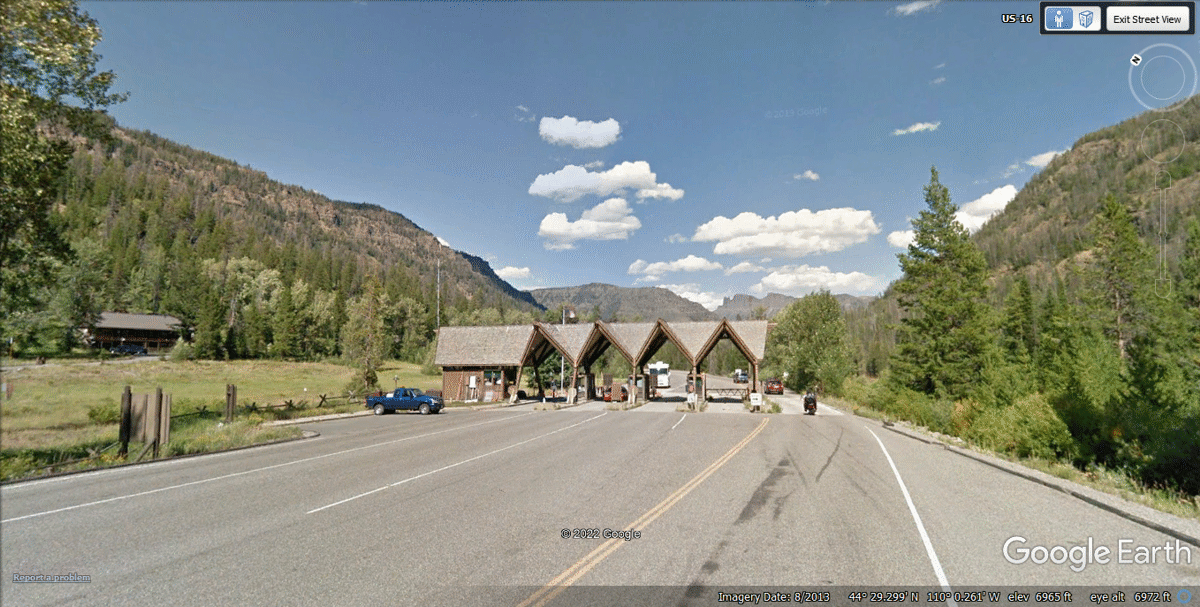
This is the EAST GATE of Yellowstone National Park where we
continue EAST toward Cody, Whoming.
June 2022 Vacation Day 17 Continues · · PAGE 45.
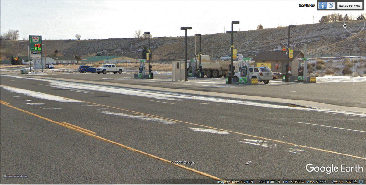
June 8, 2022: It was dark when we stopped at this Sinclair self-service gas station in
Cody, Wyoming. No one was on duty, but the pumps were well-lighted and
working. The pump did not offer a receipt. I wrote down the amount
paid on a piece of paper to show my credit card payment and the number of gallons. When I next got online,
I logged on to my AMEX account and confirmed the correct amount was on
record. I discovered the gas station was doing business as BOC Fuel Depot
station number 12. Fuel is available 24 hours as I learned when I stopped
here.
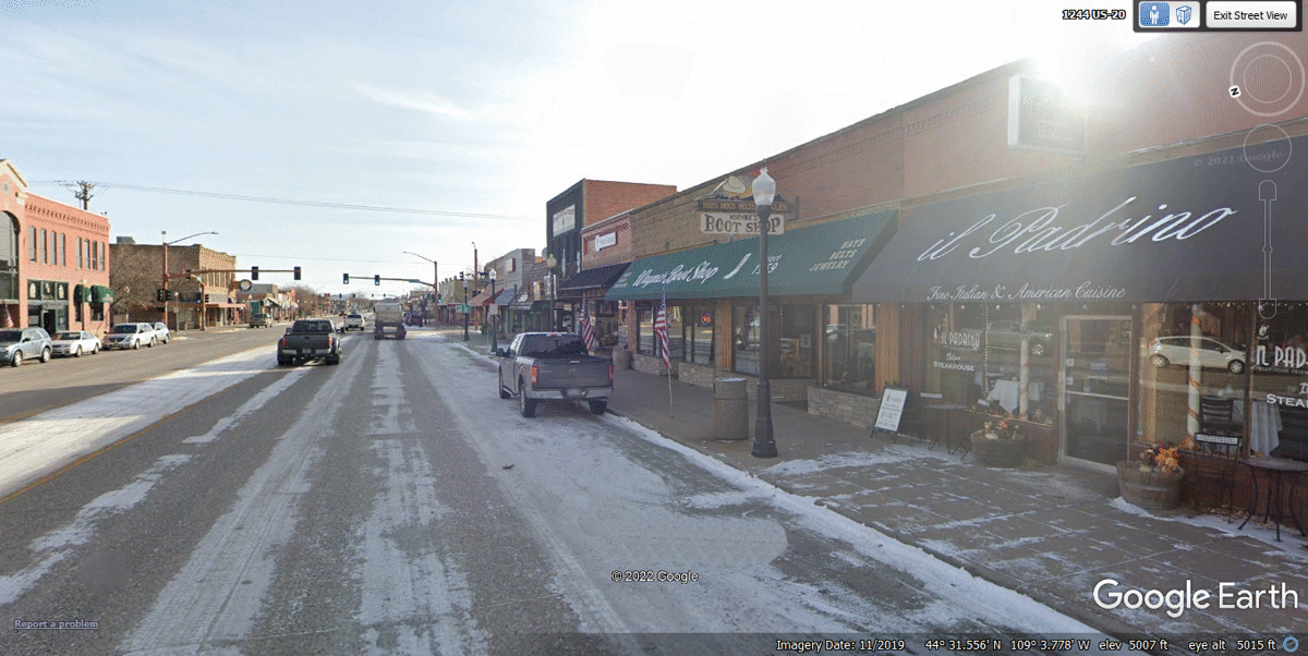
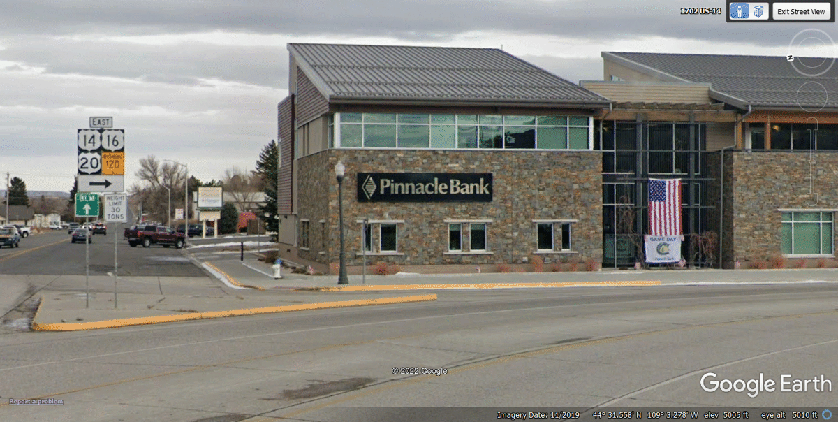
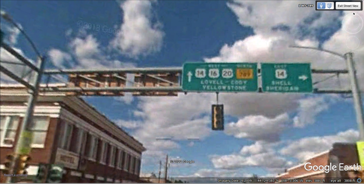
Welcome to CODY, Wyoming. It was completely
DARK. We came here on US 14, the same road I
used when I came here in 1998 after my first visit to Yellowstone National Park.
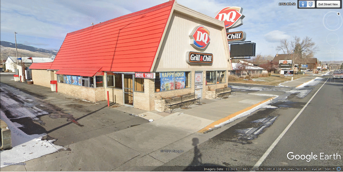
This Dairy Queen was still open for drive thru service at 9:45 PM.
We got our meals and realized the dining room was already locked. Since we
had Linda's dog Chase with us, we ate in the car. The sign at the DRIVE
THRU exit indicated RIGHT TURN ONLY, which was not the direction I wanted go.
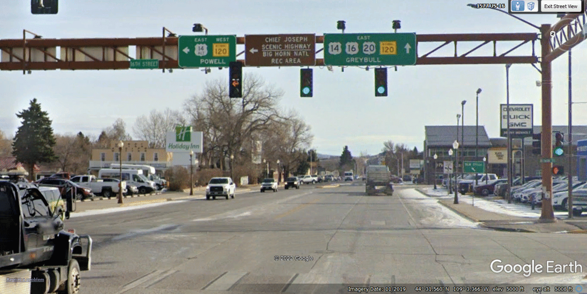
All the street lights were operating and the city has trash cans
everywhere. I parked on this side of that street light in the right
lane. I stopped at a point where the street light would shine through our
windshield while we ate our evening meal. The trash can on the other side
of the street light received our two meal boxes from DQ when we departed. This daytime Google Earth
image is from November 2019 and shows recent snow from that date. There
was no snow when we came through here on the night of June 8, 2022.
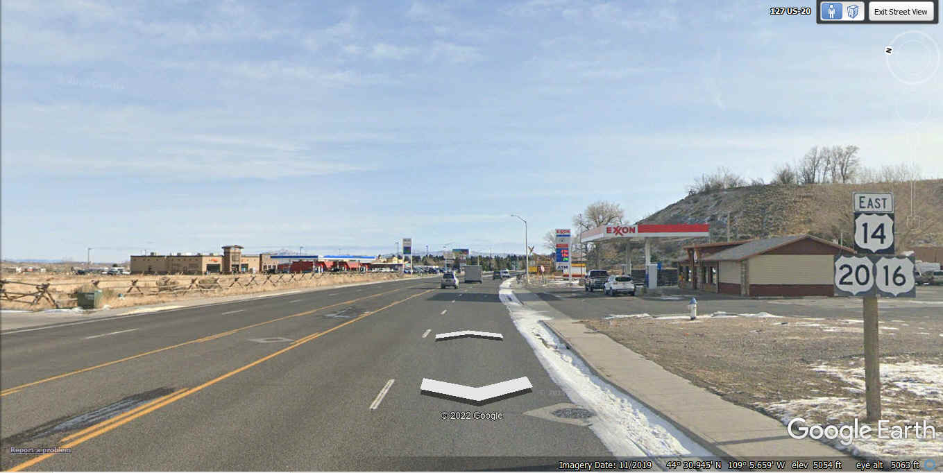
Remember it is after 10 PM at night as we pass this way. All three
US highways turn right up ahead. The nearest motel we could reserve for
tonight is a Day's Inn over on the south side of Sheridan, Wyoming over 130
miles from here. I have traveled US 14 when I came here in 1998, but it
was not at night.
Here is the RIGHT TURN that goes south from this intersection down to
another big LEFT turn to the East at the south side of town.
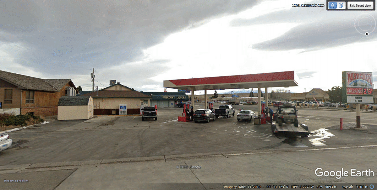
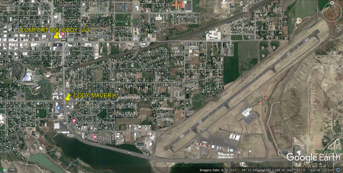
This Maverik convenience store is about half way between the big turn at
main street seen in the image above and the second big turn at the south edge of
town in the image below this next one. Since the dining room at the Dairy
Queen was closed when we arrived at their closing time, this Maverik location
has rest rooms for us, and a patch of grass and a couple of bushes for Linda's
dog Chase. It was dark except for the local lights at the station and the
city street lights on the highway seen at the right side of this Google Earth
image.
Here is the beginning of that big turn at the south edge of town. I had to get on the
south side of these signs to get a good image from Google Earth. The glare
of the sun on the Google Earth camera vehicle was a problem just as driving in
the direction of the sun on a highway in the real world or this virtual web
story tracing our path on this vacation.
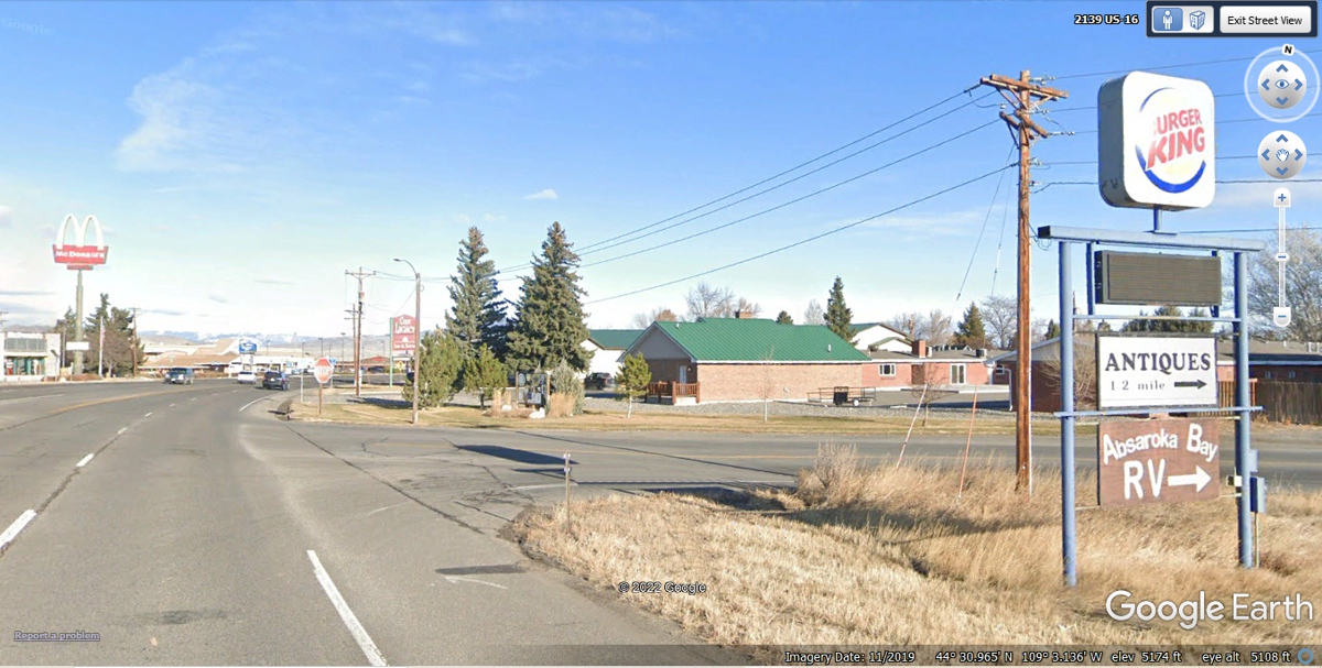
I must say I did not pay much attention to Wyoming route 120 leaving the US
routes when I went this way late on the DARK night of June 8, 2022.
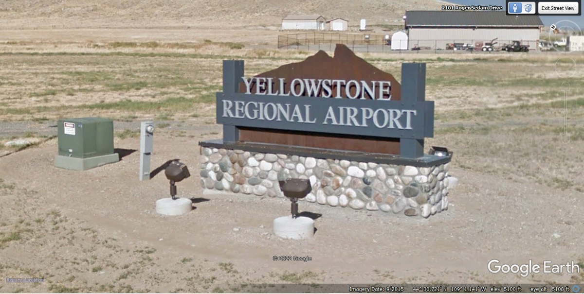
The airport serving CODY, Wyoming is known as Yellowstone Regional
Airport. The runway is 8,268 feet long and 100 feet wide. The elevation is
5,102.3 feet surveyed. With the elevation that high, a very long runway is
required for safety during take off and landing due to density altitude on hot
days. That is part of the pilot training I have accumulated since
1993. The specific information about this airport came from the web site www.airnav.com
that I use for cross country flights in my airplane.
This lighted sign for the airport is near the US highway.
Here is the airport entrance as seen from US 14. It was
VERY DARK when we
passed this way leaving Cody, Wyoming heading EAST.
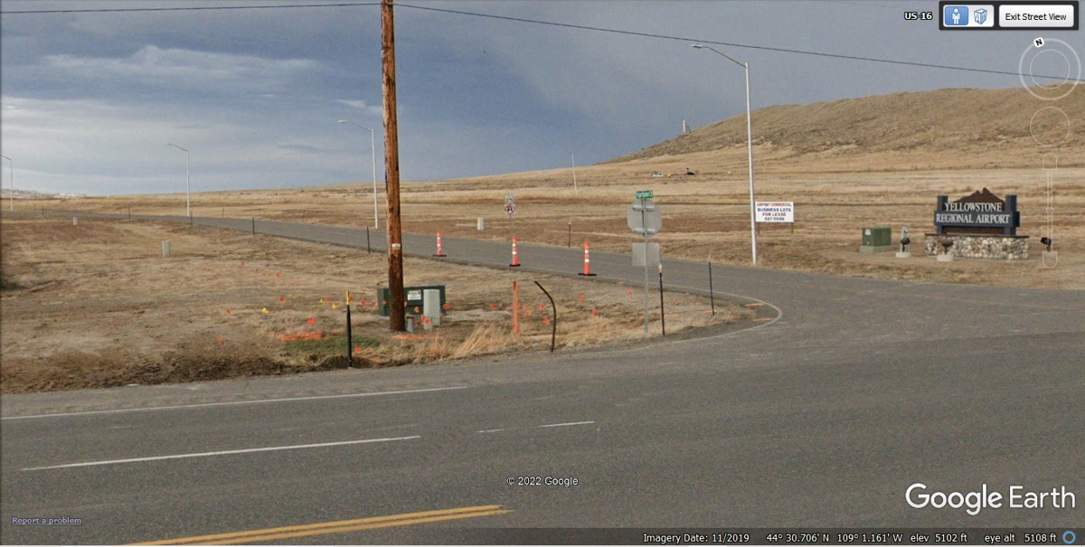
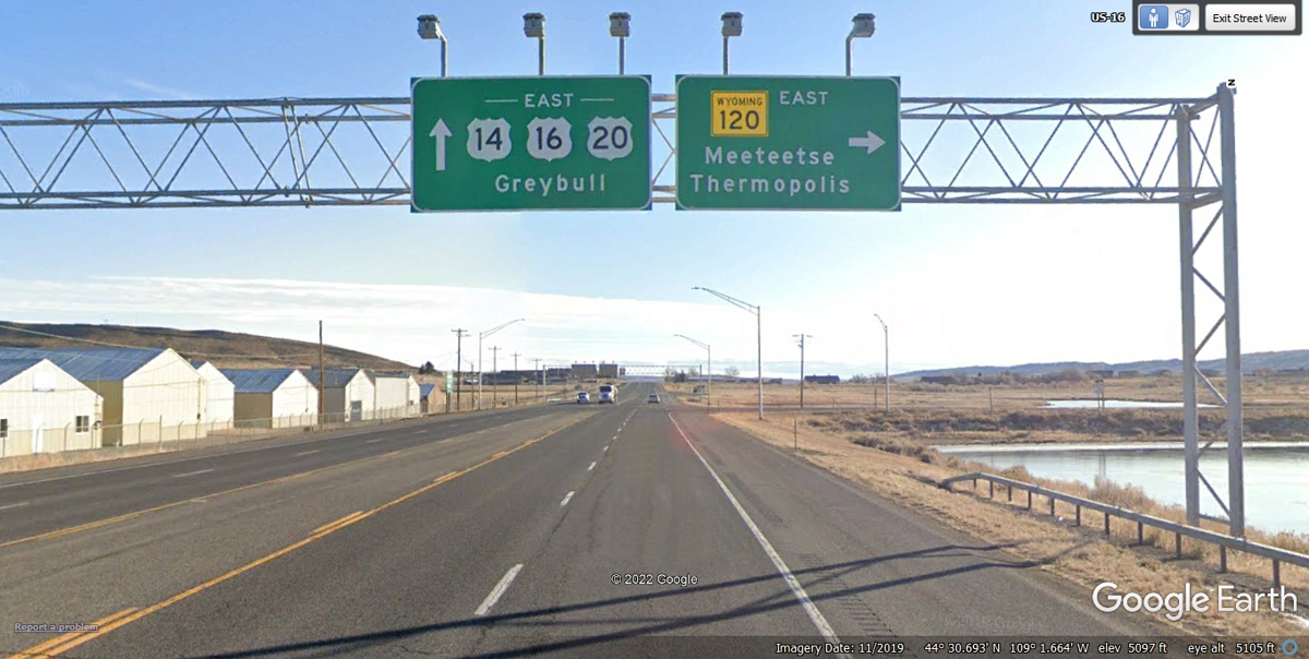
About one mile East of the airport, the three US highways slim down from
four lanes of divided highway to become two lanes with a CENTER left turn
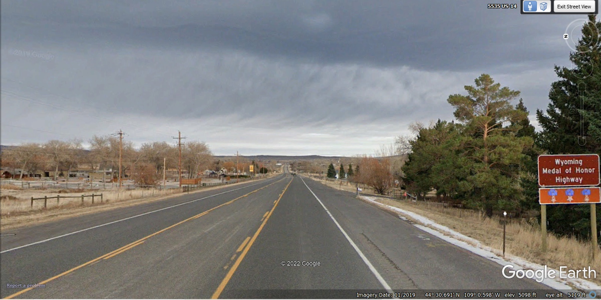
lane. It is also designated as the Wyoming Medal of Honor Highway.
This 2009 Google Earth image has old technology for producing their
images. The best images were created from 2019 and later. This is the intersection for the US highways in Greybull, Wyoming
about 50 miles east of Cody, Wyoming. This is where we turned East in the
DARK toward
our motel on the south side of Sheridan, Wyoming.
From what I have discovered, this is the Greybull River.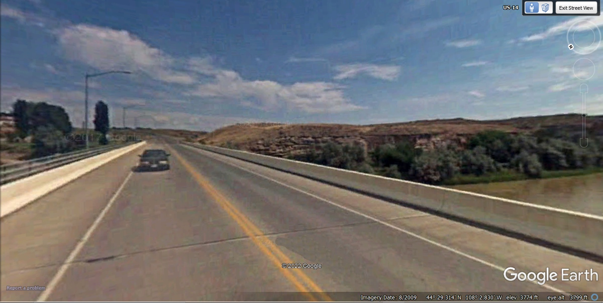
I was reading about how some of these older Google Earth images have been
processed. In this case where we were driving before midnight, the soft
focus effect
is "not so bad" compared to most of the Google Earth images used so
far in our virtual vacation story. The only thing to see at night is
within the range of our headlights or occasional buildings with lighting.
.jpg)
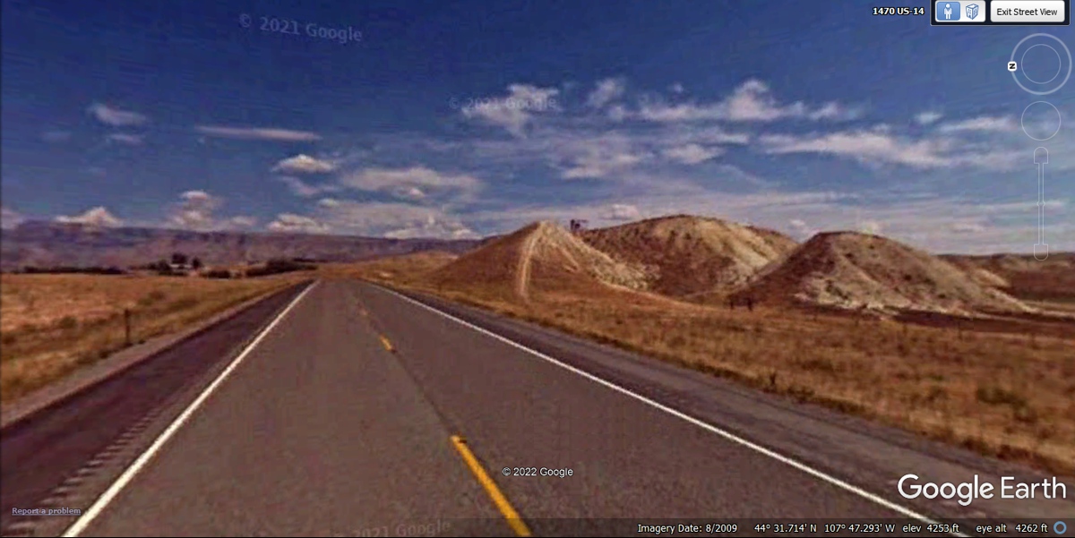
In the real world trip we made across this open land at NIGHT, I did not
notice the hills by the highway since I was focused on the highway ahead
illuminated by the headlights.
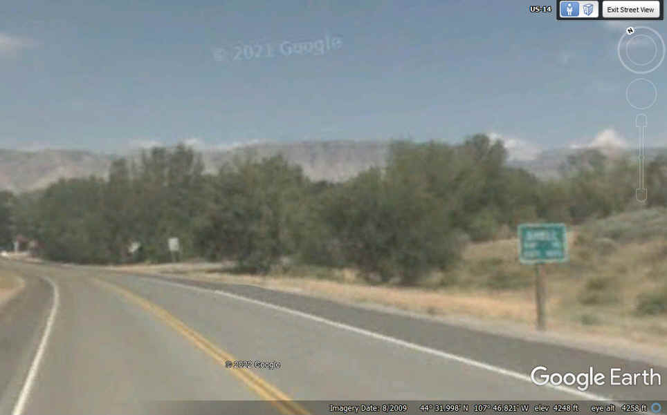
I put in this table with two cells to show the 2009 Google Earth image adjacent to the road sign that is out of focus in the image below entering the village of SHELL, Wyoming.
|
I found this perfectly focused sign showing the population of the
village of SHELL at only 50 people. Wikipedia has this sign below and
lists the 2010 population at 80 people.
|
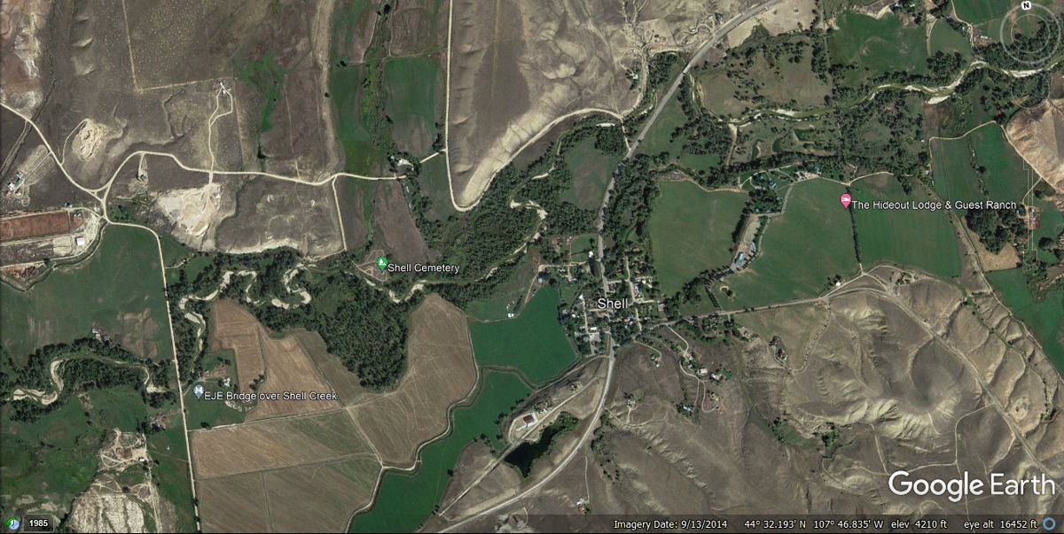
I captured this aerial view of SHELL, placing the cursor in Google Earth
on the main street just above the word "Shell" in the image below to see
that Google Earth elevation matched the sign in the table above at 4,201 FEET
MSL. Let's get back to the road trip toward the mountain. When I
came here in 1998, we passed this way in the daytime. It was the dark of
night as we passed this way.
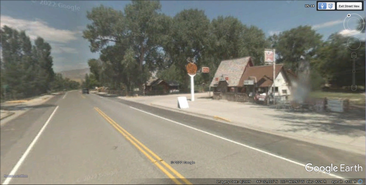
Looking at this street level Google Earth 2009 image of Shell shows a CAFE
that is open with a rusty old gas station sign out front and a Budweiser sign.
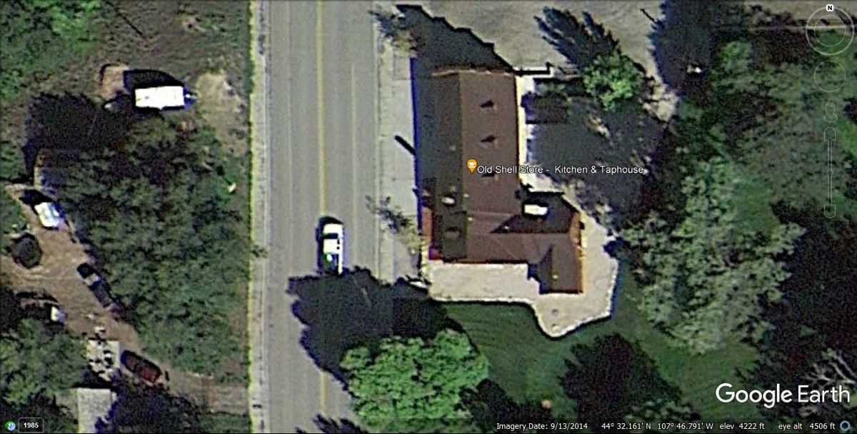
This 2014 satellite image zoomed down to the store in the image above
shows how the old store has been upgraded (or Rebuilt) between 2009 and 2014 to
have a Kitchen and Taphouse for beer. The rusty old gas station sign has
been removed as there is no shadow there.
| HEADING EAST TOWARD SHERIDAN, WYOMING - PAGE 46 | RETURN TO WESTERN TOUR INDEX PAGE |
