June 2022 Vacation Day 16, Eastern
Oregon and Southern Idaho · · PAGE 40.
June 7, 2022: We had a false start to
our travels today. I left my pill box of vitamins in the room at our
motel. I discovered that problem at 8:36 AM when we pulled into a
McDonalds in Pendleton, Oregon to get me a breakfast sandwich 20 miles from our
motel. I called the motel to tell them I would be back shortly to get the
vitamins and my one prescription. Let's get started again. (01)
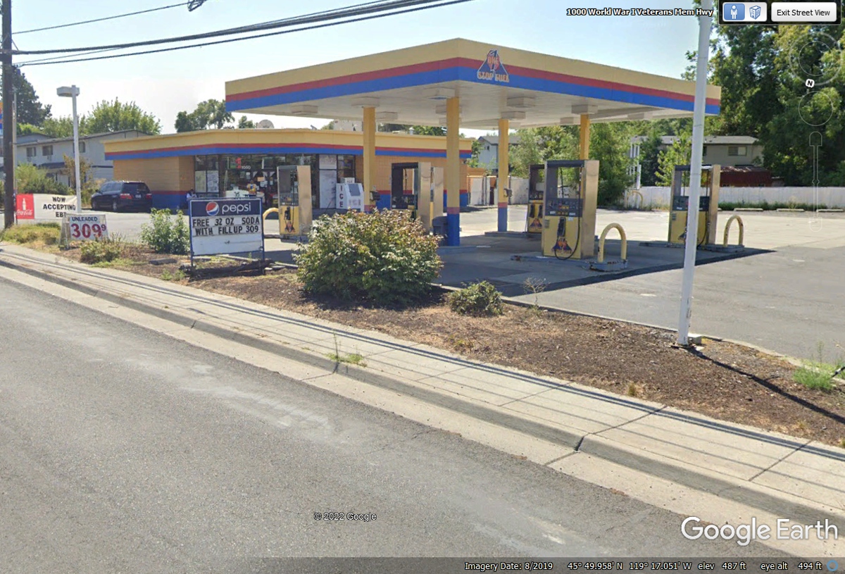
We stopped at this Independent gas station south of Hermiston to top off
the fuel tank before getting back on I-84 going toward Idaho at 10:15 AM.
(02)
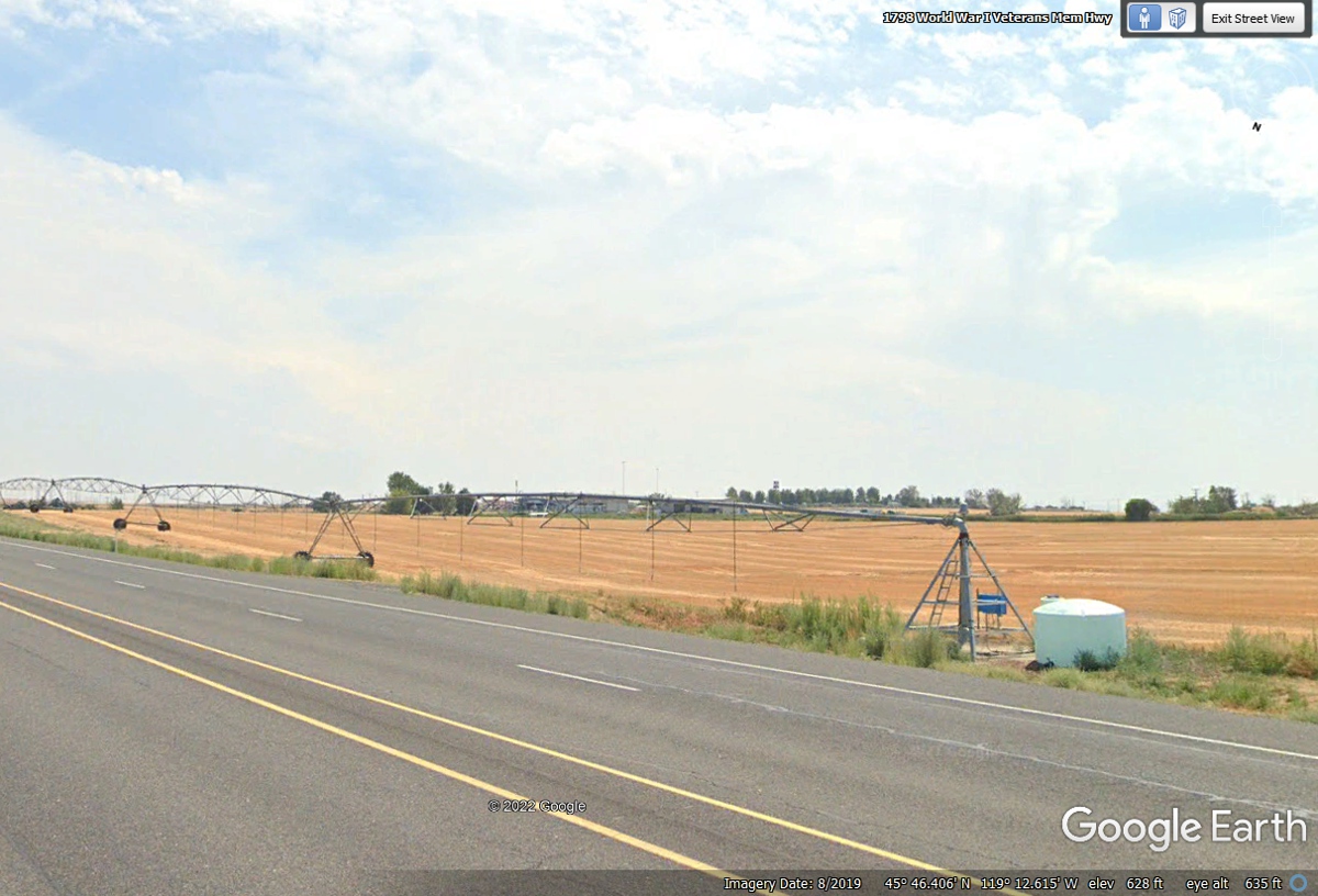
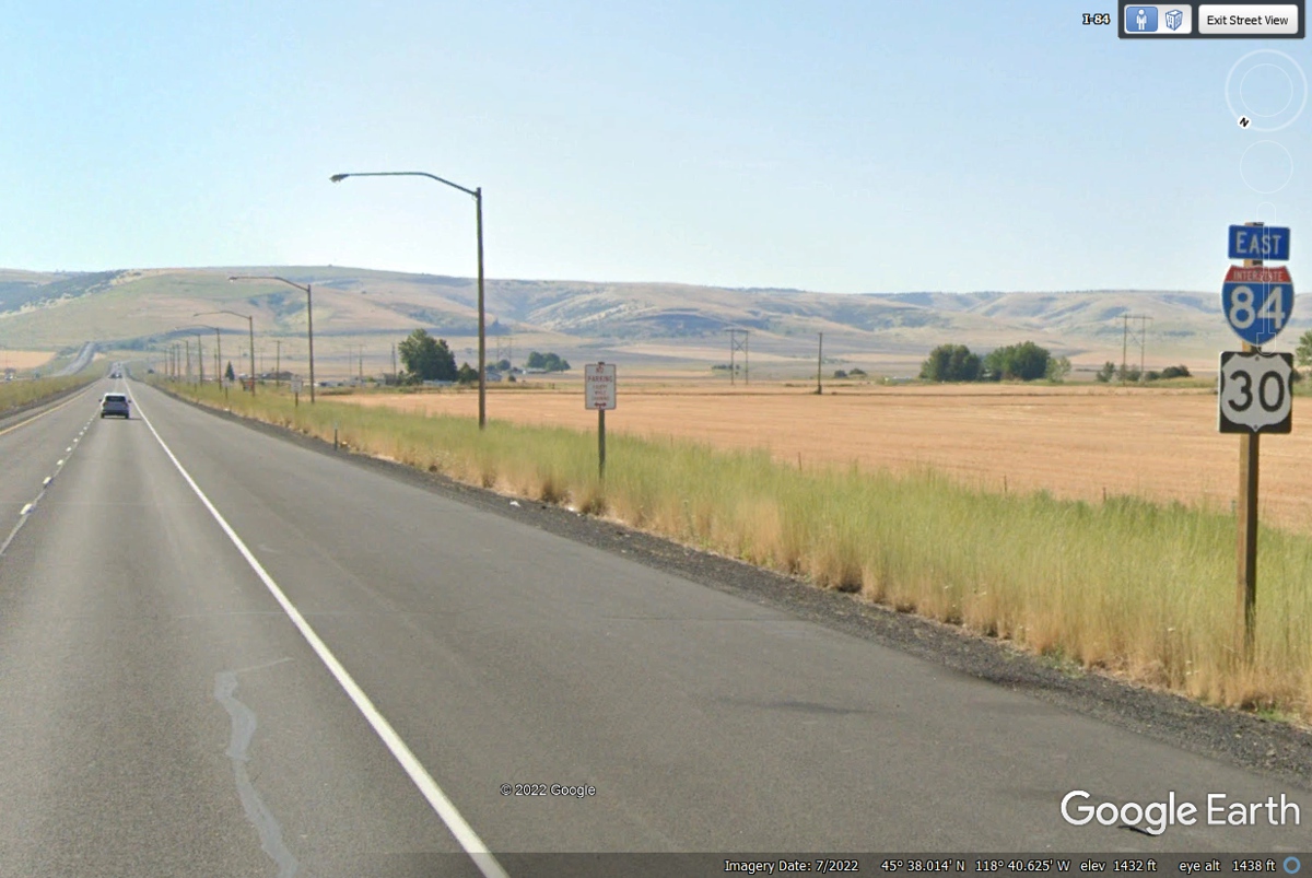
This image is on US 395 adjacent to an irrigation pump and sprinklers as
we are approaching the entrance to I-84 and US 30. (03)
We have come to the intersection of I-84, US 30, and now US 395 South
tagging along for the ride East and later US 395 will head south from our route
toward Nevada. It had been raining here when the Google Earth vehicle
captured this photo in November 2021. (04)
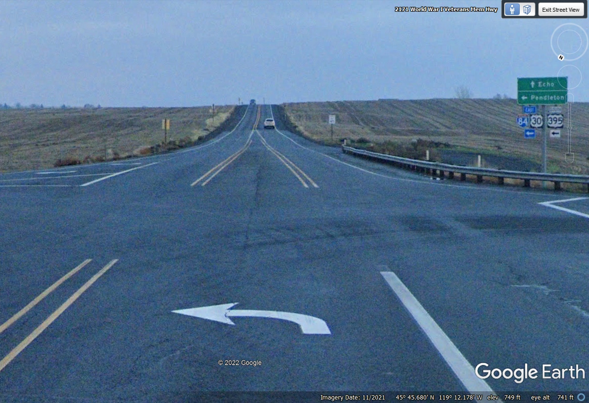
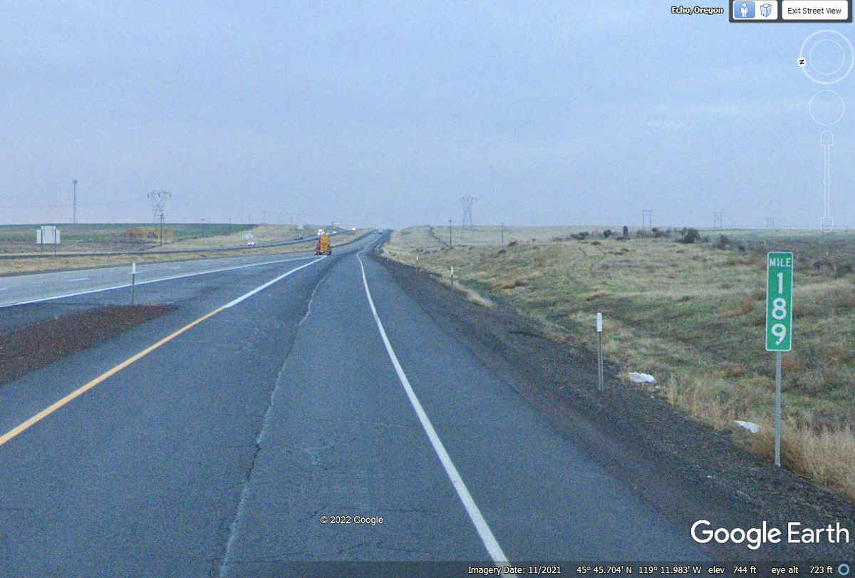
This mile marker for 189 miles from Portland, Oregon is on the entrance
ramp for Eastbound traffic. The rain is also in this image as we approach
the main highway. (05)
This whole section of our travels has been under clear skies. (06)
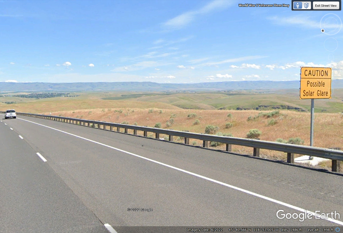
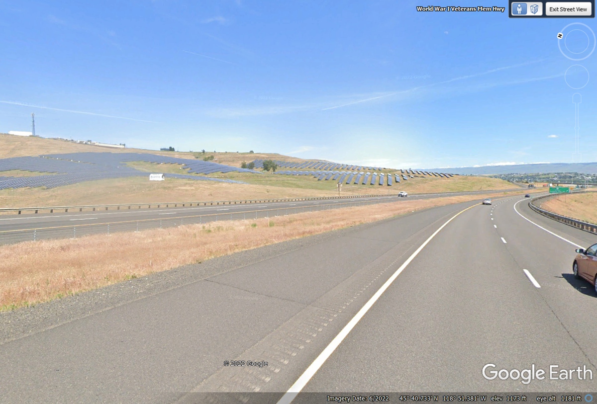
This is the first of three exits for Pendleton, Oregon. The Airport
is on the north side of the interstate highway on top of this ridge near the
solar panel arrays. That gray rectangle ahead on the left side of this
image is an array of solar electric panels that creates the solar glare depending on
time of day and the sun angle on that array. (07)
It was not apparent in the image below, the solar panels down the hill are
on the north side of I-84 on slopes with southern exposure. All the panels
in a solar power array usually move in an East/West direction to get the maximum sunlight possible
on every solar panel. I see it here in Florida and the same rules of
physics apply here in Oregon. The airport is up the hill from the solar
panel arrays. (08)
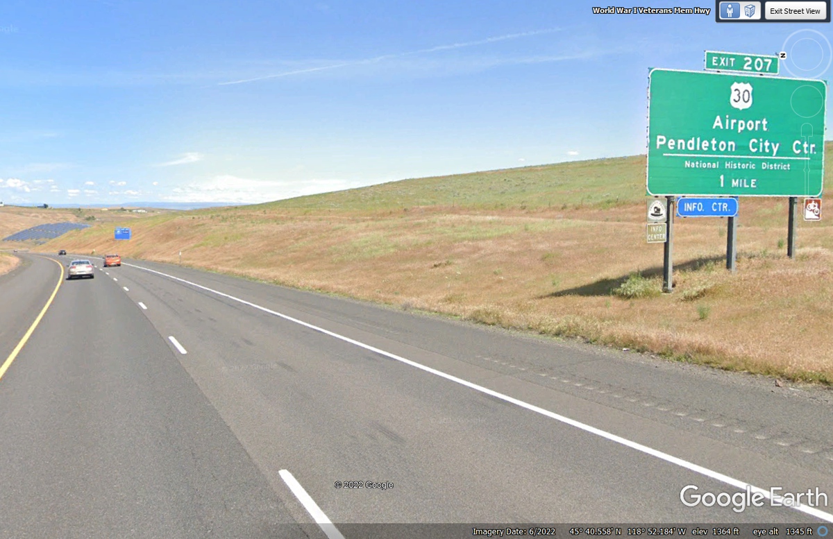
Exit 207 from I-84 crosses over the freeway to get to the Pendleton,
Oregon Airport on the ridge above the solar panels on that north side of the
road. The mountain range seen looking ahead in the image below should be
along our route into Idaho later today. (09)
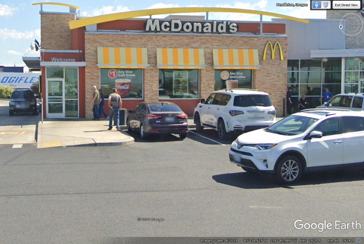
This McDonalds located in the Arrowhead Truck Plaza was open when I first
came by here and purchased a breakfast sandwich and discovered I had left my
vitamins and prescription pill box at the motel in Hermiston. This
location is at exit 216 on I-84 on the East side of Pendleton, Oregon.
(10)
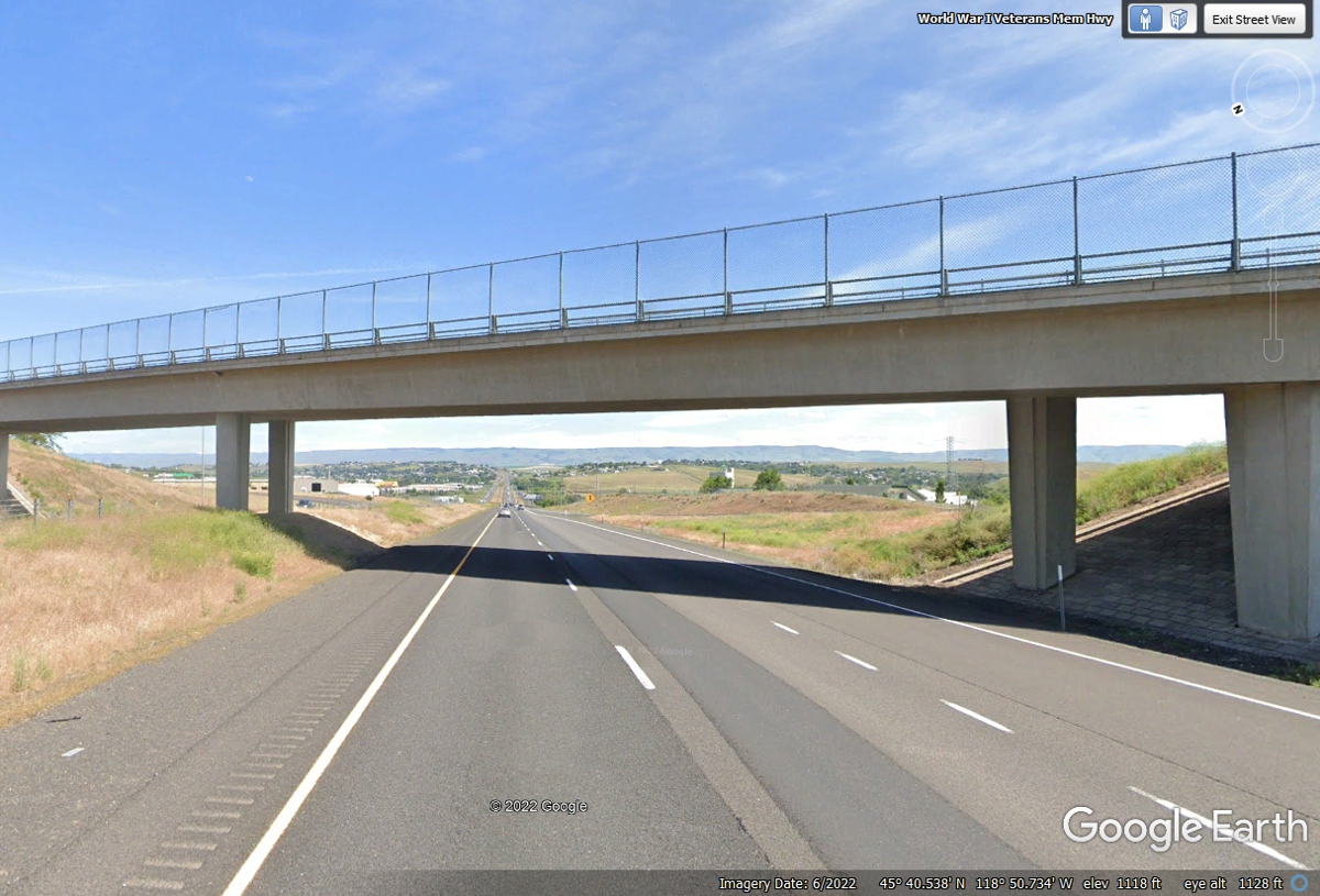
This is the view heading East after getting on the interstate highway at
Exit 216 leaving Pendleton behind us. There are mountains ahead to
be crossed heading for Idaho. (11)
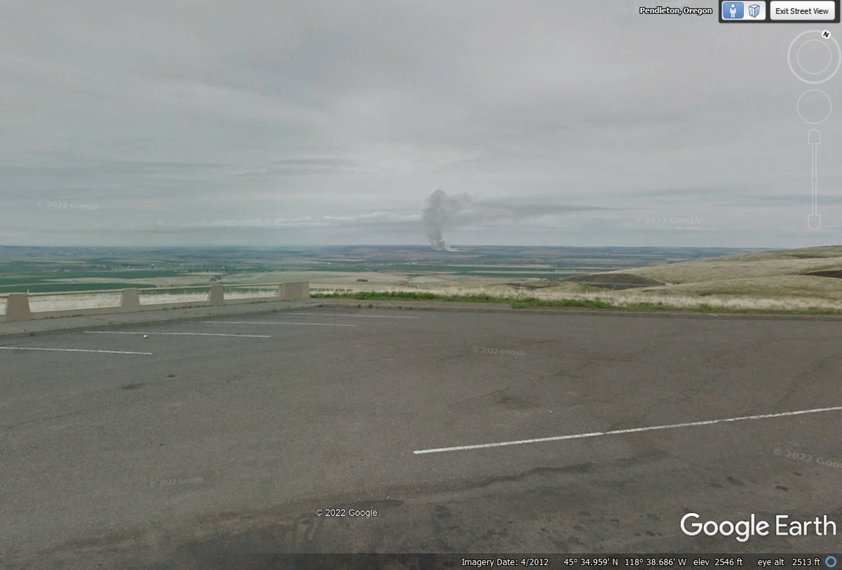
Here is the view looking northwest back toward Pendleton from a rest area
overlook with elevation 2,546 feet above sea level. I measured the
line-of-sight distance back to Pendleton and was surprised to see it is less
than 5 miles. The road miles are more due to the zigzag of the highway
climbing this mountain where this image was captured. (12)
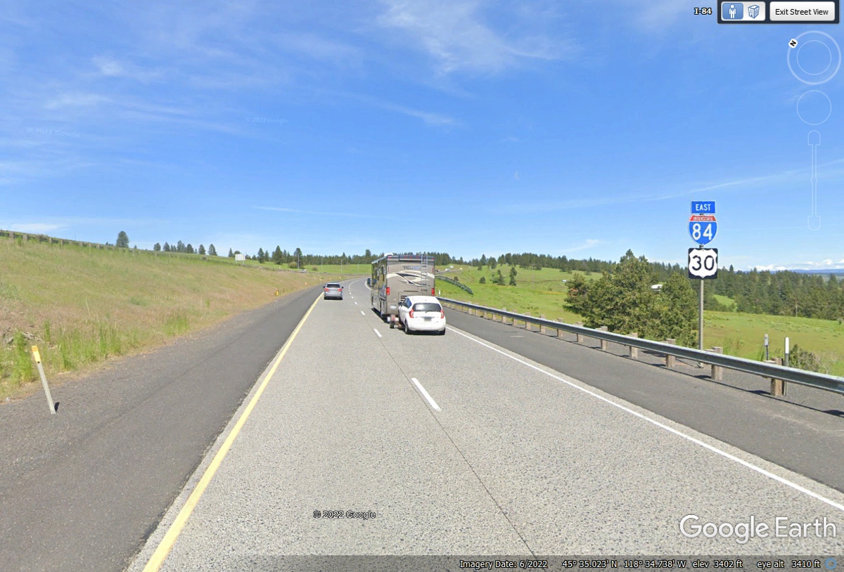
A few miles across the top of the mountain, the East and West travel lanes
come together after their zigzag climbing routes are up higher. The
elevation here shows 3,402 feet. (13)
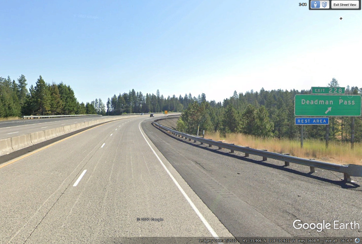
The name for this mountain pass must have been from a harsh weather time
before the modern Interstate Highway System was built, probably in the 1800's of
the old west. The elevation here is 3,680 feet above sea level. We
are still in Oregon for now. The 228 mile number is the distance from
Portland and the beginning of I-84 over there. (14)
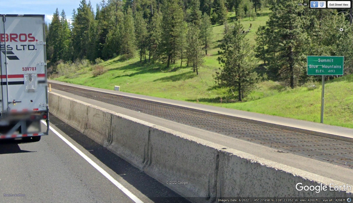
This road construction area is getting new concrete in the Eastbound
lanes. The steel re-bars are visible in that lane. The elevation
sign for the Summit indicates 4,193 feet MSL. Google Earth is showing
4,200 feet in the bottom margin of this image. We passed this way on May
7, 2022. I could have come this way during the construction time period,
or not. I would not have been paying attention to the construction or the
elevation sign for the summit. My focus was to stay in my lane and keep a
proper following distance from the vehicle ahead of our car. (15)
This exit is about 1,100 feet lower than the summit of 4,200 feet seen
above in the road construction zone. Looking at the image below shows the
new concrete resurfacing has been completed at this location. (16)
Interstate 84 is the bypass around La Grande, Oregon while US 30 runs straight
through the city as the main route. We stayed on I-84 as we have a long
way to go before bedtime. (17) 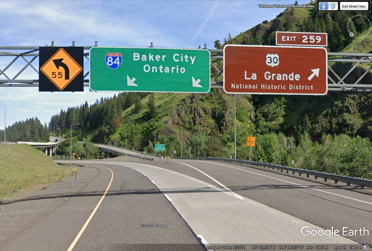
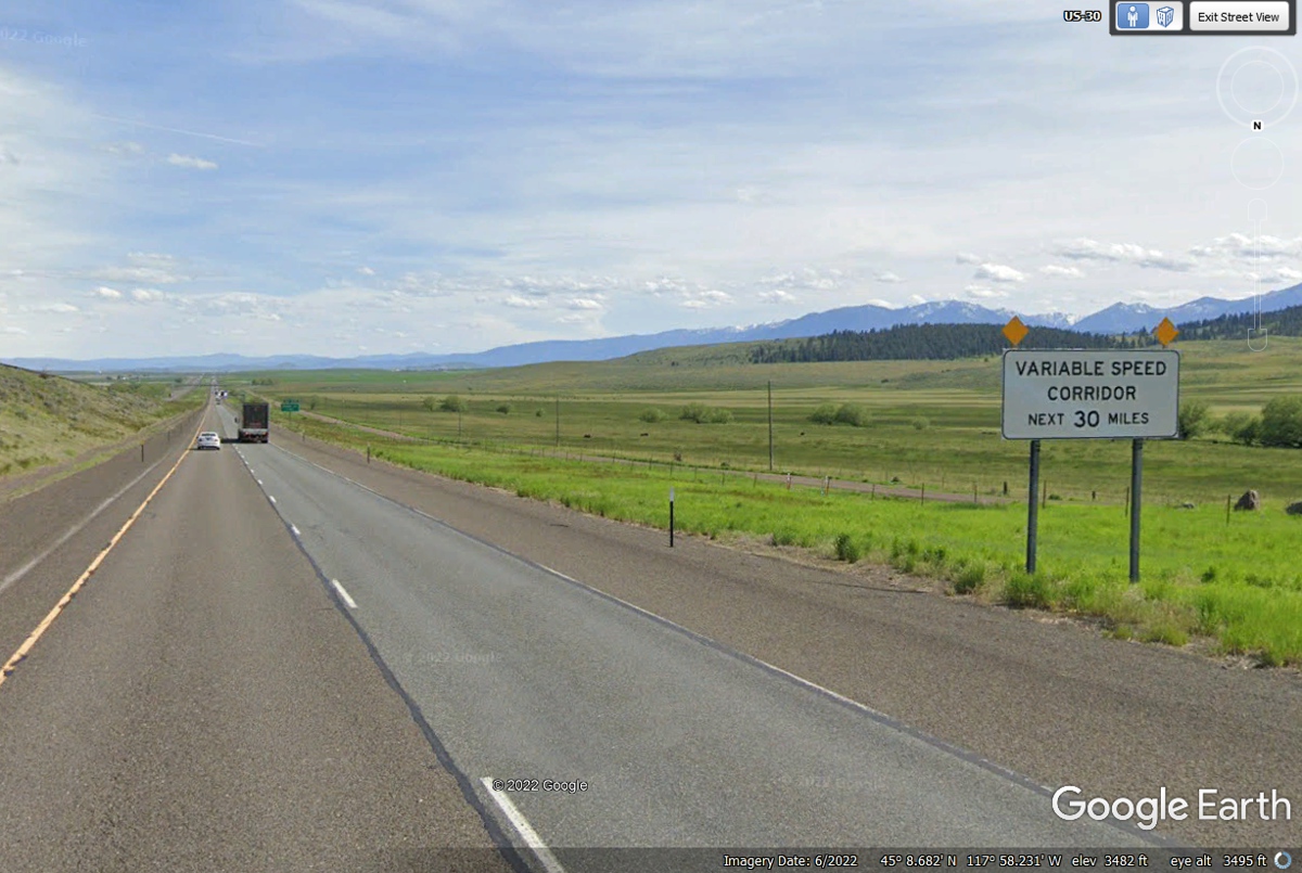
We have passed by the city of La Grande, Oregon heading south jumping from
one canyon to the next. This is the first time I have seen a Variable
Speed Corridor sign. The town of Baker City is at the end of the next 30 miles
of highway. (18)
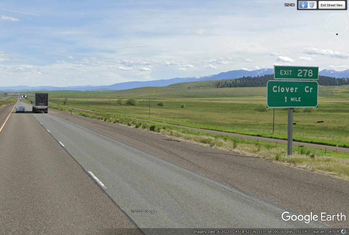
I took the Google Earth camera vehicle up the ramp and discovered the last
time Google went across the overpass was 2012. Not much to see here
folks. Clover Creek is used with a pair of irrigation crop circles south
of the intersection. (19)
This rest area on I-84 at milepost 295 is where we stopped for a break
after leaving Pendleton, Oregon. Chase had fun in the green grass.
(20)
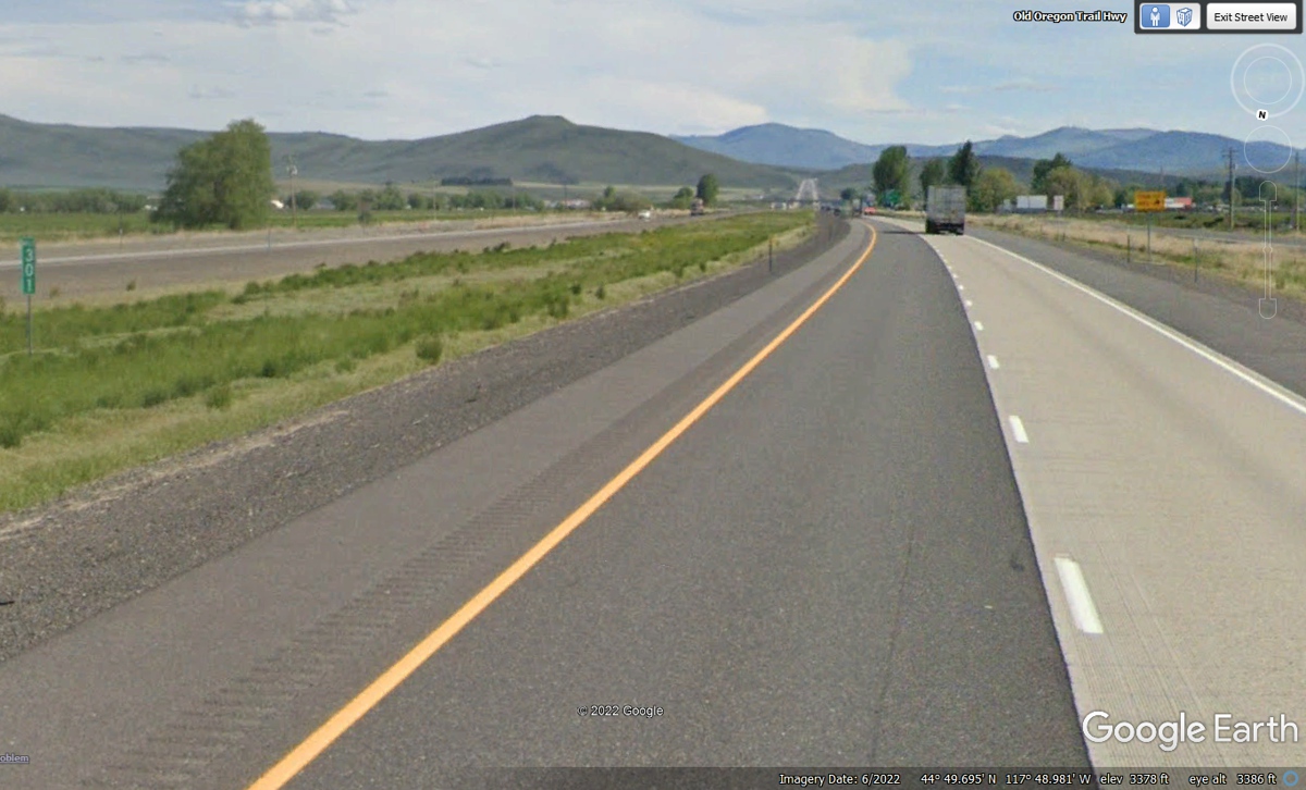
Baker City, Oregon has their Municipal Airport about 3 miles north of the
city center adjacent to Interstate 84 on the East side of the highway.
This is a general aviation airport with no commercial airline service
here. The mile marker here is 301. The highway elevation as it passes the airport is 3,378 feet MSL.
(21)
A few miles south of the city, I-84 climbs to an elevation of 3,693 feet
MSL to get around a ridge and enter the valley on the south side of that
ridge. From this point, the path of the highway turns from south to
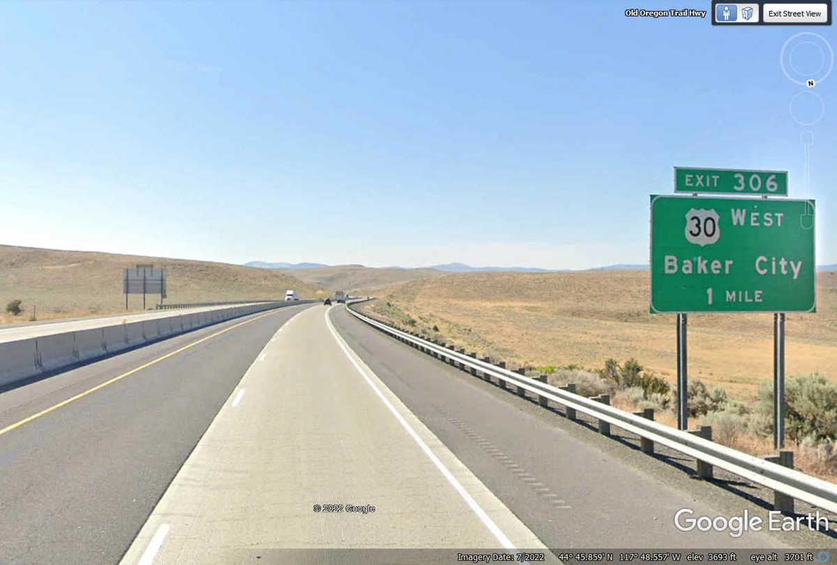
SOUTHEAST for a distance of 63 miles to the town of Ontario, Oregon. (22)
Some rolling hills and passes between them brings I-84 and US 30 about 66
miles to the city of Ontario, Oregon close to the Snake River where Oregon meets
Idaho. (23)

Here is the information on the last Interstate 84 exit in Oregon
with
the SNAKE RIVER less than seven tenths of a mile to the East of this exit where US 30
enters the state of Idaho going East. We stay on I-84 going a bit more to
the South about one mile to enter Idaho. (24)
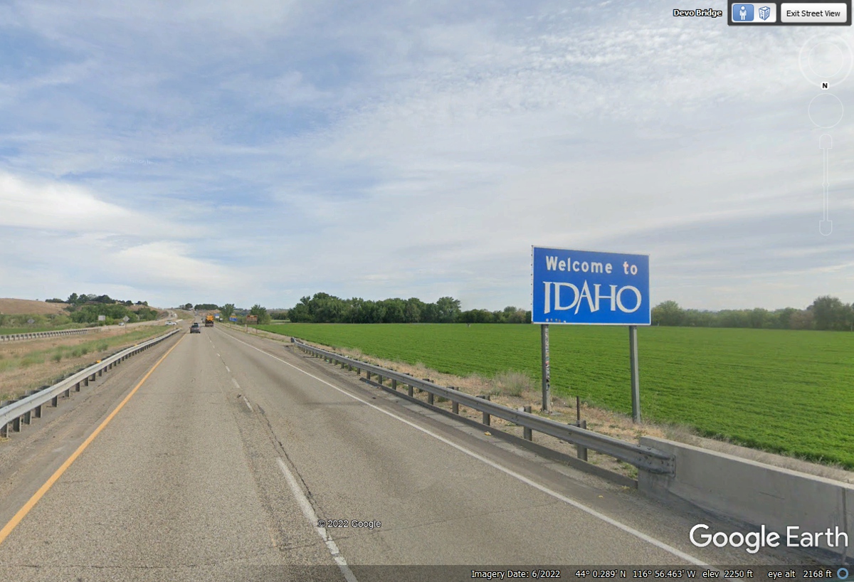
Welcome to Idaho after crossing the SNAKE RIVER south of the city of
Ontario, Oregon on I-84 heading East. (25)
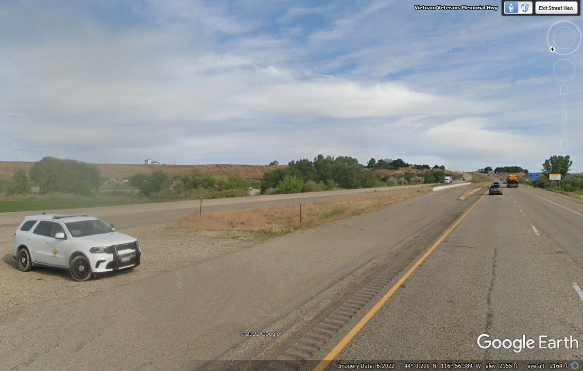
It looks like the local deputy sheriff happened to be in the crossover
when the Google Earth camera vehicle passed this way in June 2022. (26)
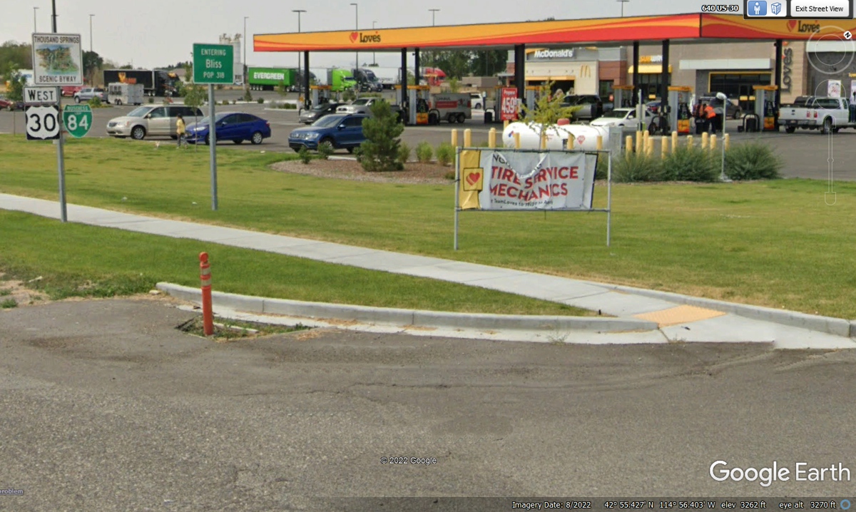
The fuel receipt for this Love's truck stop at BLISS, IDAHO shows 5:22 PM as we leave here
heading East. (27)
We have been following Interstate 84 all the way from Portland,
Oregon. We are now 222 miles into IDAHO where I-84 heads southeast toward
Salt Lake City, Utah. We switch over to I-86 which begins 1 mile ahead and
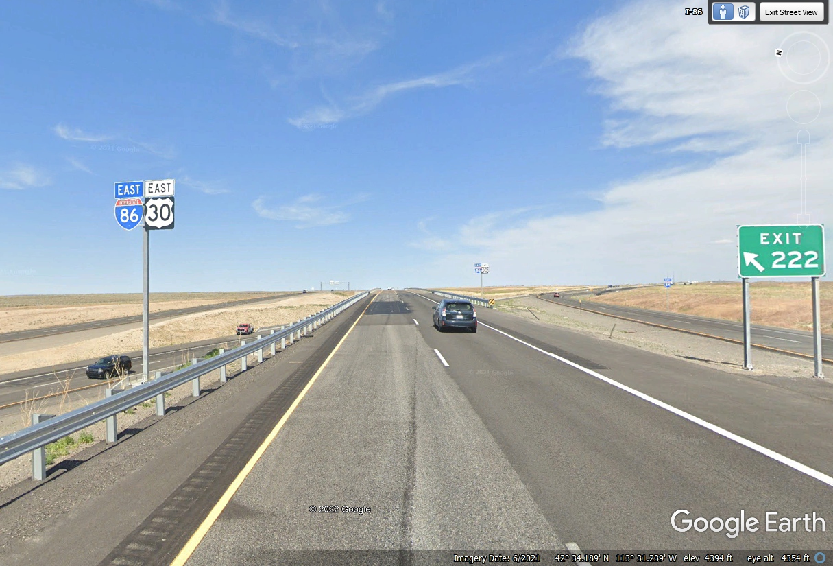
takes US 30 with it going East. (28)
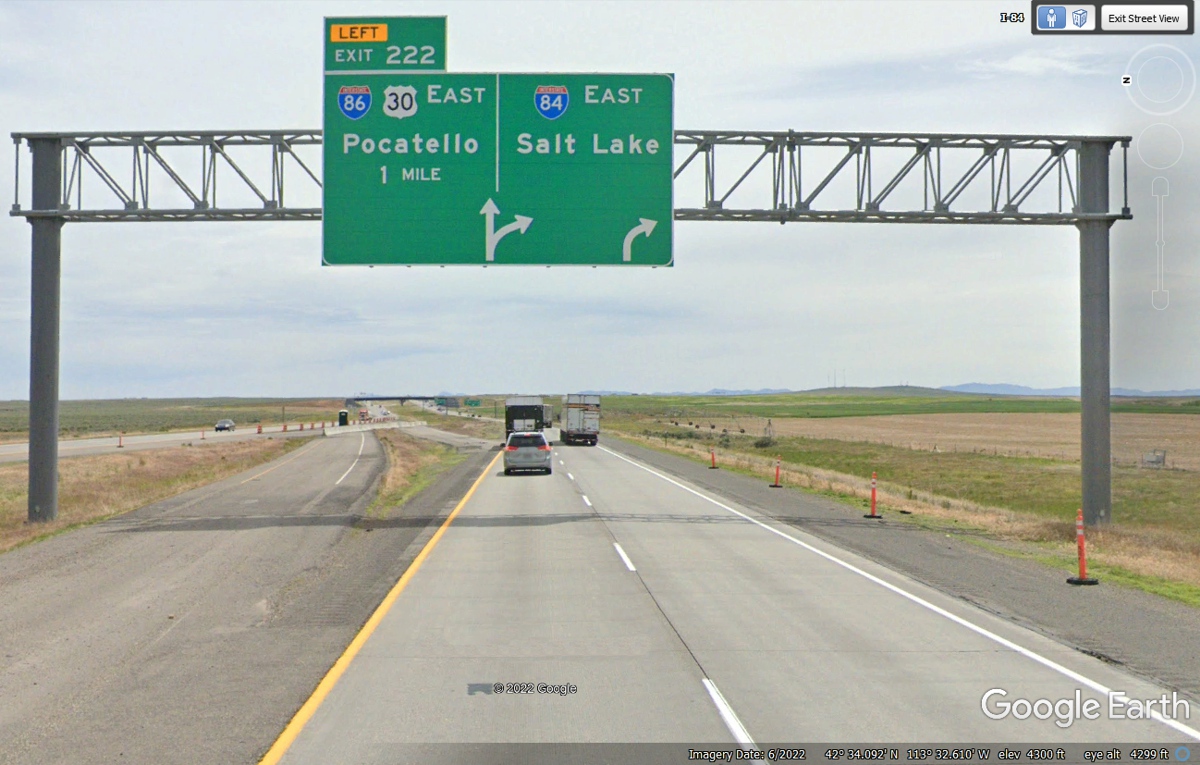
Here is the split mentioned above with I-86 and US 30 continuing East at
I-84 Exit 222. I-84 is the highway at the right side of the image below
turning southeast. (29)
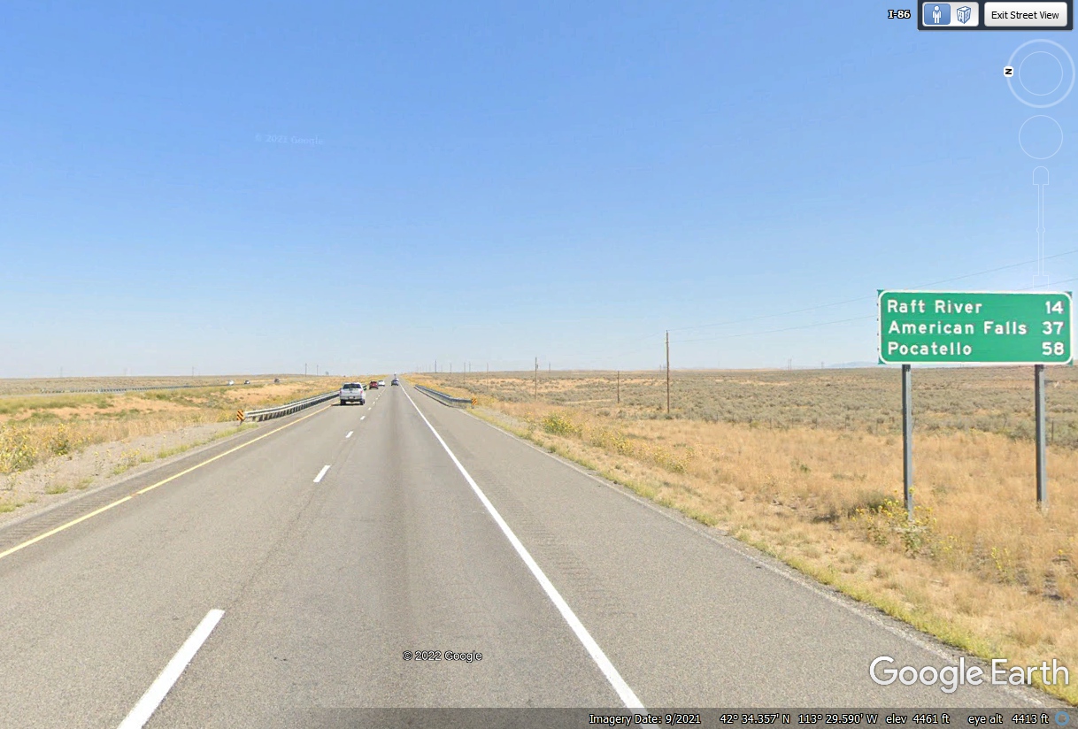
A few miles beyond the image above is this mileage sign showing the town
of Pocatello Idaho 58 miles ahead from this sign. (30)
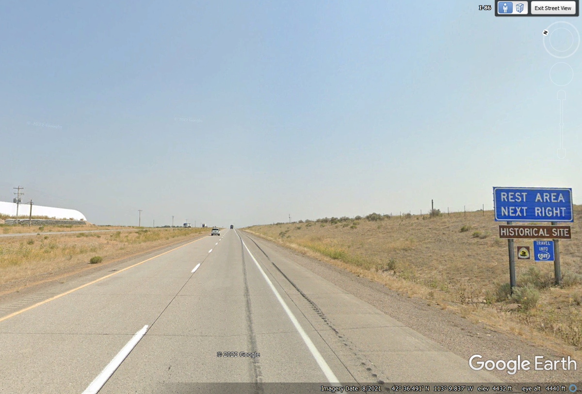
The REST AREA sign does not indicate how far it is to the rest area.
I peeked ahead and found I-86 mile marker 19 at the rest area. Yes, the
mile markers on I-86 reset to ZERO when we passed the split where I-86 began and
I-84 continued toward Salt Lake City. That big white structure in the
median is probably a DOT facility for salt to keep the highway open when there
is snow and icing conditions. (31) The numbers you see in
parentheses on this page are counting the number of images on this web page.
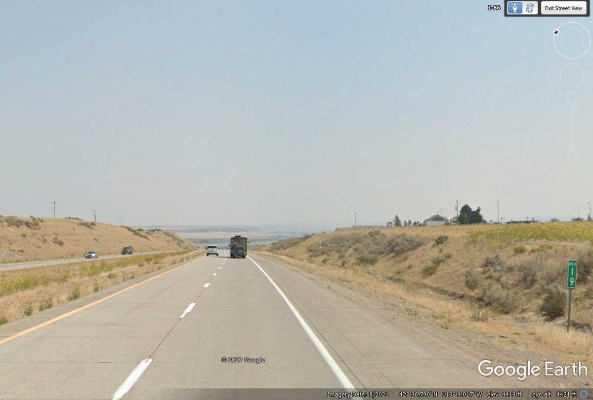
Here is the rest area mentioned in the image above. It is above the
roadway on this "hill" on the right side of the highway. Mile
marker 19 is visible above the Google Earth logo in the bottom right corner of
this image. Looking ahead down the road, the SNAKE river comes into
view. We will follow the river on our way to new sites tomorrow on the
next page. (32)
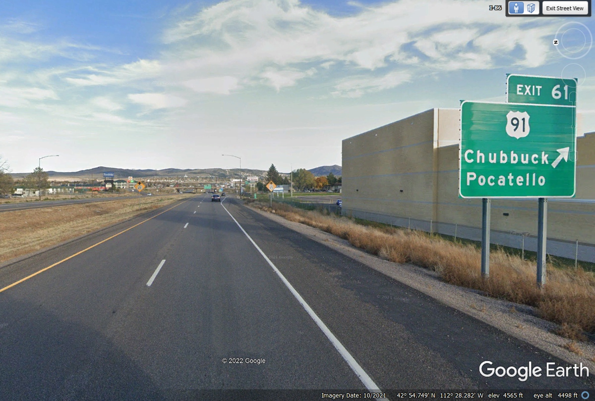
I-86 enters Pocatello from the west. Our exit of interest is US 91
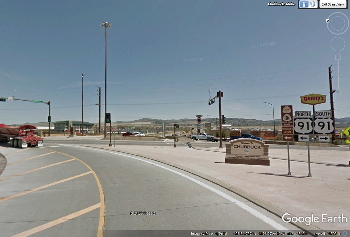
as the nearest Wendy's is on this street at 4519 Yellowstone Avenue. (33)
A left turn is required to get to Wendy's. (34)
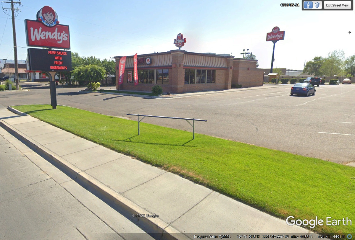
Wendy's has one entrance at the front of the store. The drive-thru
lane is on the other side. (35)
This Google Earth view of the other side of the building shows the window
to place your order near the rear on this side. The next window seen above
the windshield of the pick-up truck is where you receive your order. With
Linda's dog Chase in the car, we always used the drive thru and pick up window
every where we traveled on this 9,600 mile adventure. After getting our
food at 7:21 PM, we parked at the last space on the left side of this photo near the
Wendy's sign back there. (36)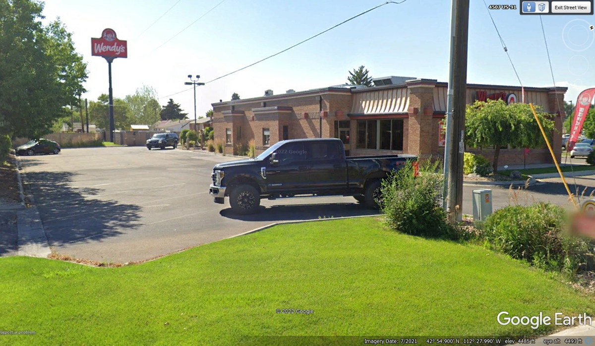
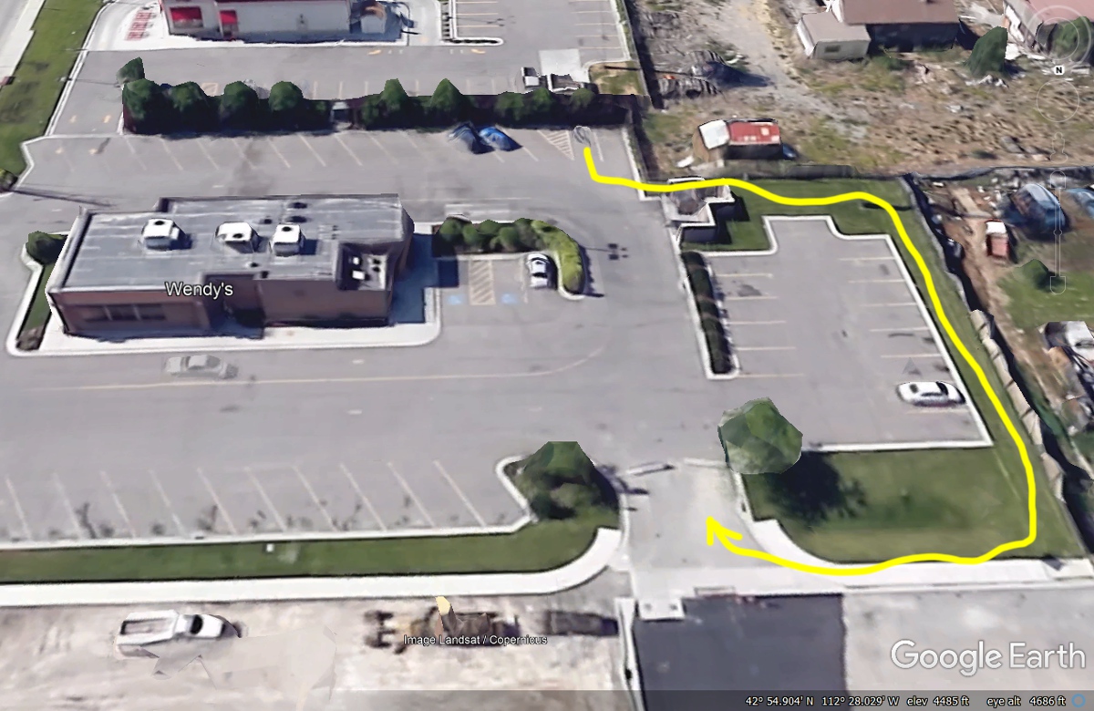
I usually walk with Chase when he needs relief after our long sessions on
the open road (yellow walk path). This Wendy's had plenty of grass out back and we explored
it all before we got in the car and headed for our motel for tonight. (37)
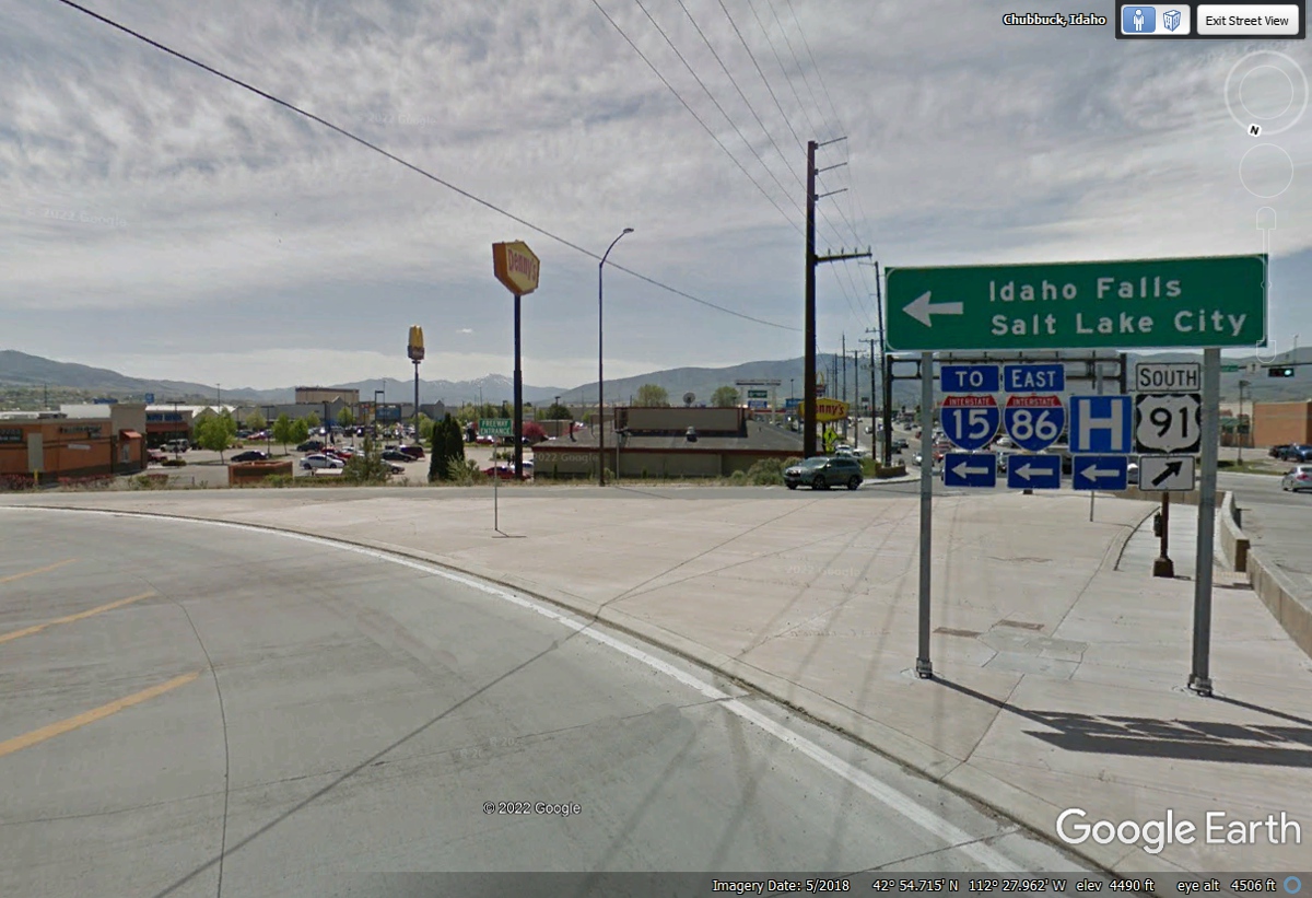
Interstate 86 East ends when it reaches Interstate 15 where we will go
North on I-15. This intersection below is only about two blocks from Wendy's. (38)
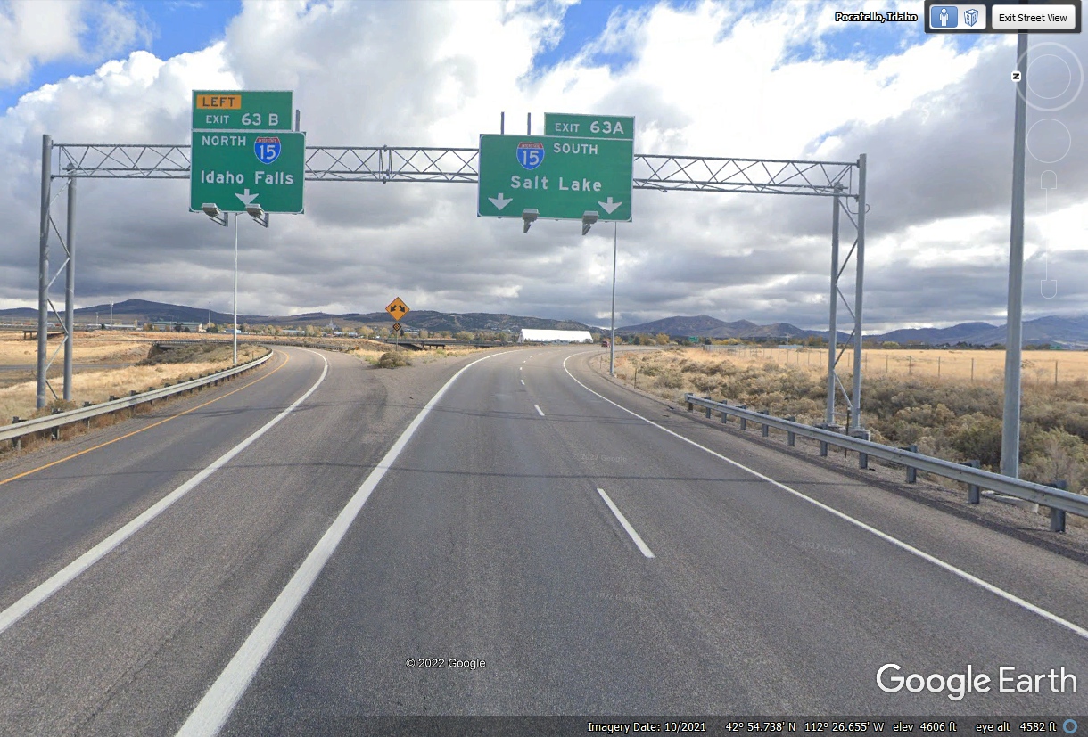
Heading out of the town of Pocatello with dinner behind us says the next
stop is our motel for tonight at Idaho Falls about 45 miles north of here.
A LEFT TURN and going northbound is the action here. (39)
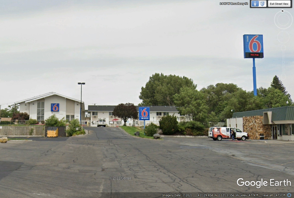
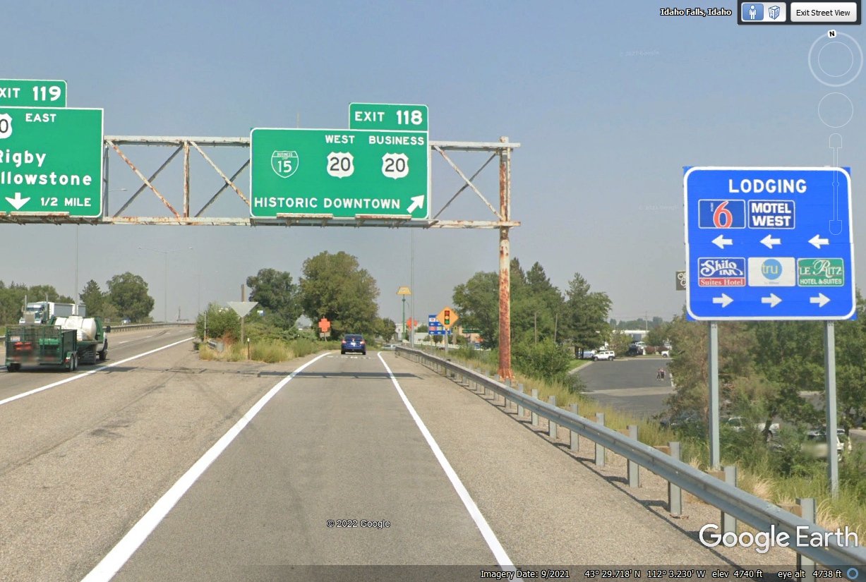
Here is our last exit for today at Idaho Falls as the Motel 6 just west of
the freeway is our motel for tonight. (40)
Engine stop, get checked in for a good night's sleep in Idaho Falls.
This far north in summer provides a late sunset at 8:44 PM on June 6. The
Weather Channel web site using the monthly calendar provides that information
about sunrise and sunset for any day, anywhere. (41)