June 2022 Vacation Day 11, Enter California · · PAGE 28.
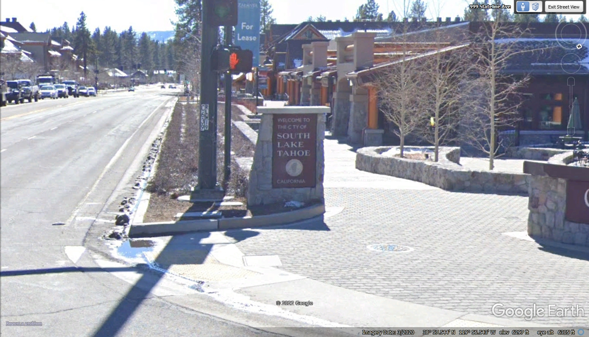
June 2, 2022: We have put Nevada behind
us and passed this marker by the sidewalk that says "WELCOME TO THE CITY OF SOUTH LAKE
TAHOE." Below the round seal in smaller print is
"CALIFORNIA" to confirm you have left Nevada and entered the state of
California. The elevation here is 6,293 feet above sea level at this
intersection. The elevation of Lake Tahoe is 6,224 feet above sea level as
I write this page. The legal limit for the surface of the lake is 6,229.1
feet above sea level. That FIVE-FOOT margin insures there is no flooding
of the lakeshore properties.
There is no gambling on the California side of the state line. There are a
number of motels and Chateau's. Normal business is the rule here like the
rest of the USA that is not a Native American reservation where gambling can
exist.
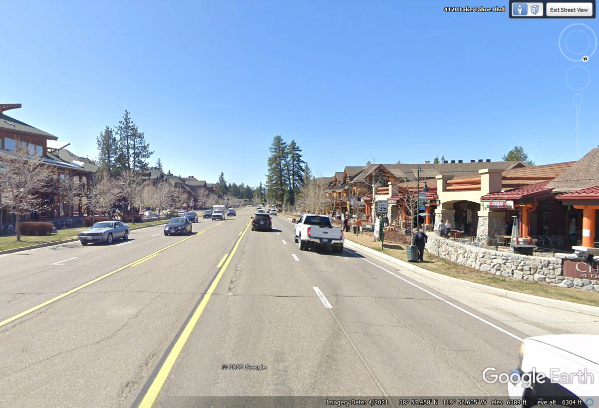
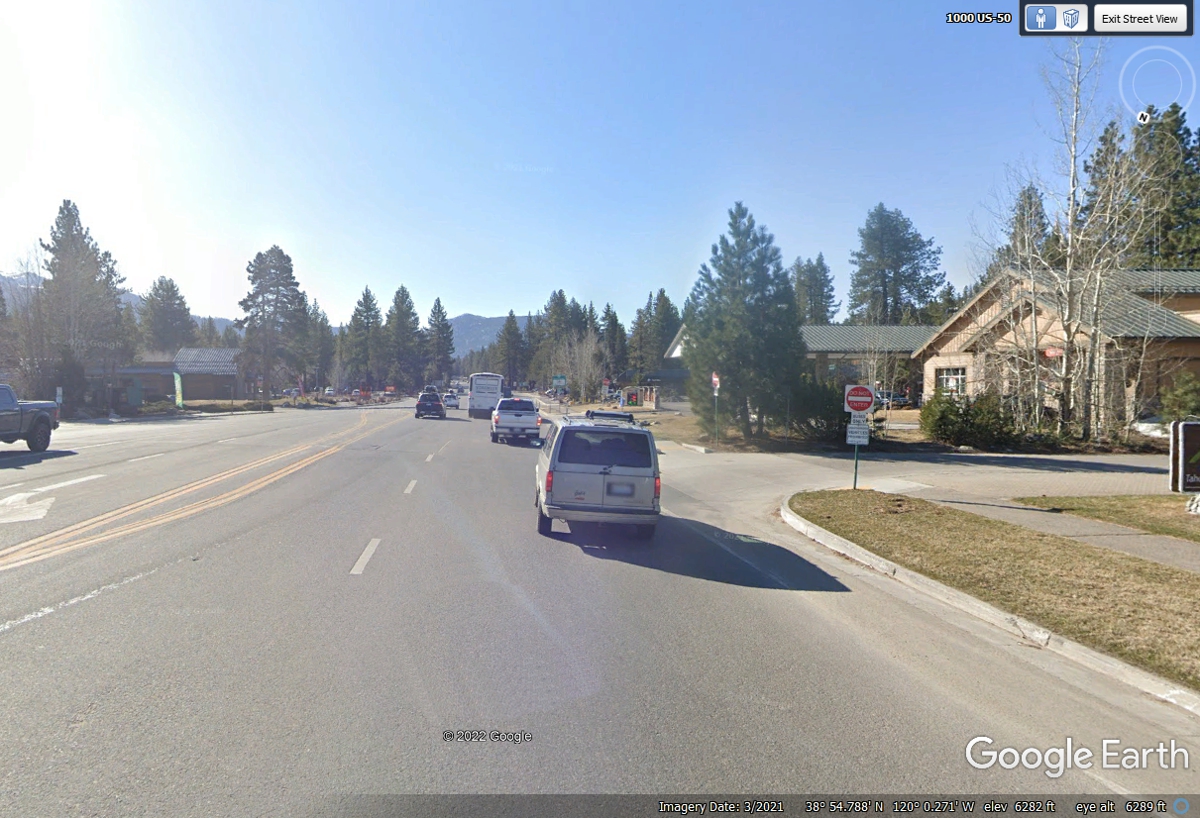
US 50 turns LEFT up ahead with two lanes at the junction of California
state route 89.
Here is the last US 50 route sign before the LEFT turn at the next traffic
light.
This is after the important LEFT turn for US 50 as it starts out of town from South Lake Tahoe.
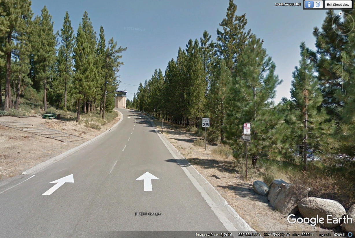
The elevation here is 6,282 feet above sea level.
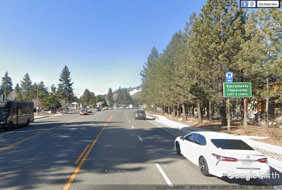
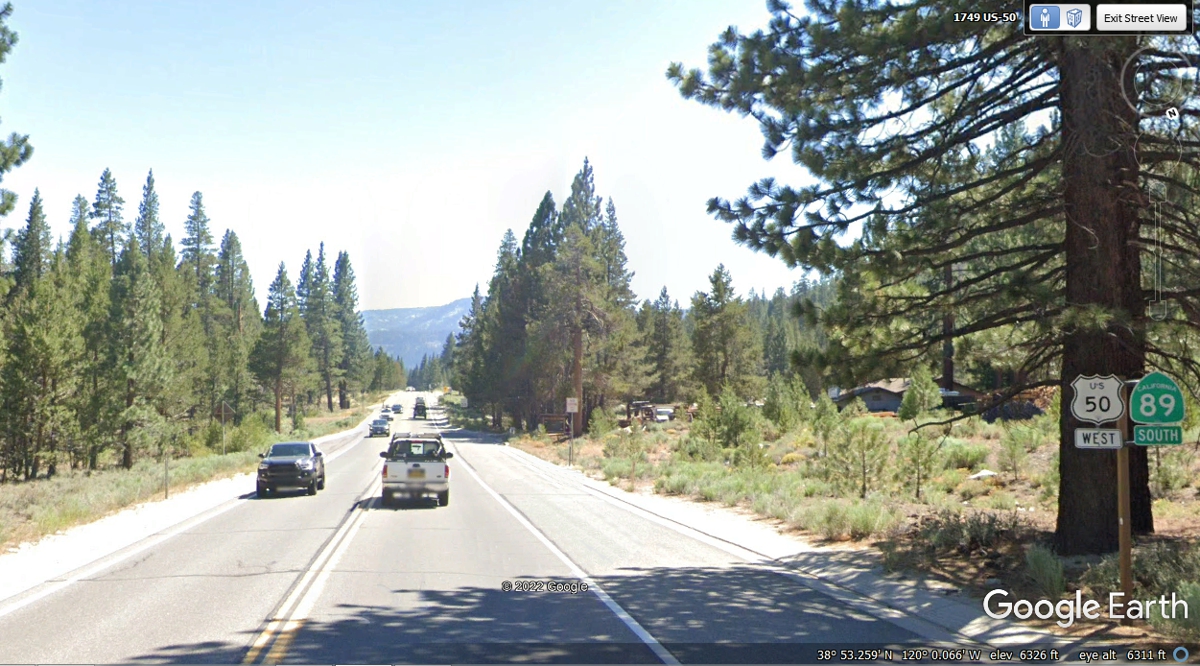
This stretch of US 50 and California state route 89 is relatively FLAT for
now, but that will change soon. The airport that serves South Lake Tahoe
is running parallel to US 50 on the east side of the forest.
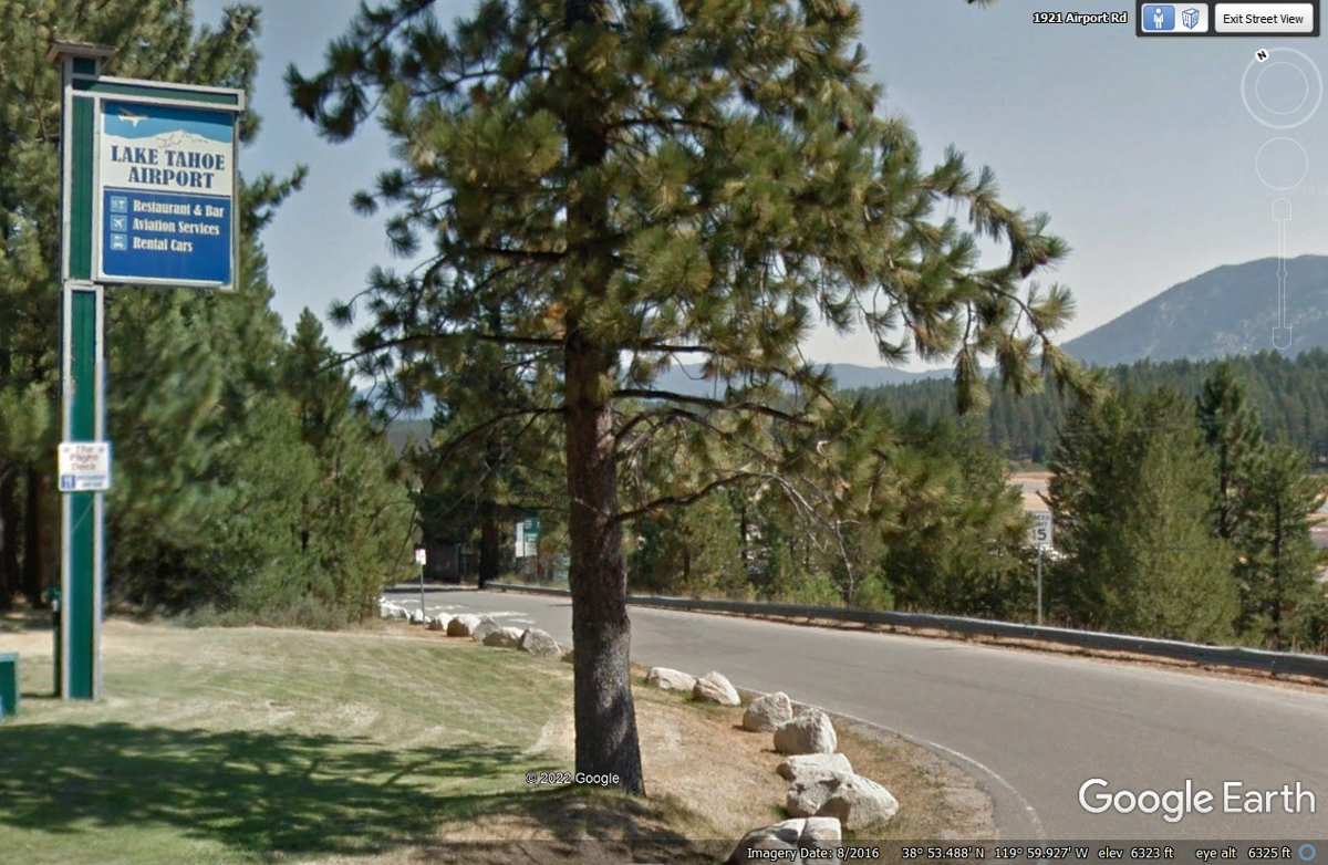
The sign on the right side of this image indicates the access road to the
Lake Tahoe Airport is 1/4 mile ahead.
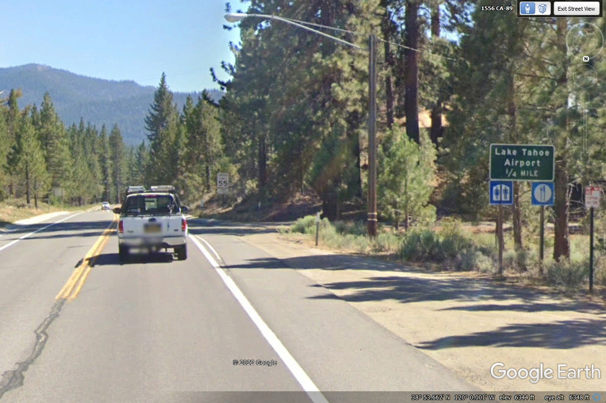
The side road on the left goes down to the airport. The sign points
to City Offices with a white airport emblem also on the green sign.
My web site is about building and flying my Van's Aircraft RV-9A since
June 2005. I pay attention to airports when I pass them on the ground, but
especially when I am flying. Since US 50 and CA 89 are fairly flat in this
area, putting an airport here is the smart thing to do. This blue and
white sign is visible after entering the road down to the airport.
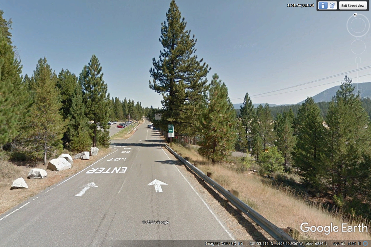
The road down from US 50/CA 89 is a one way street labeled as such for anyone
expecting to go up this hill southbound.
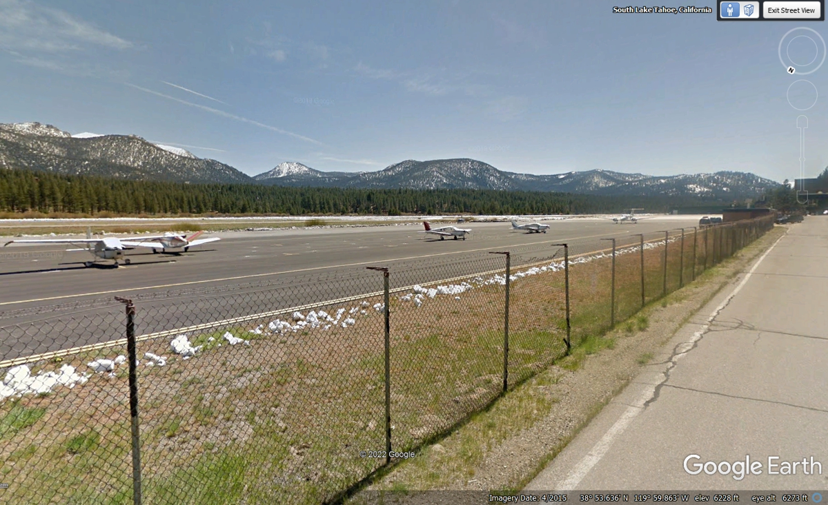
Down by the flight line, there is the usual assortment of general aviation
aircraft types, from Cessna, Piper, a Beech V-tail Bonanza and at the far east
end of the ramp is an experimental Long-EZ design from Burt Rutan, not shown in
this image from Google Earth. This image is from April 2015 and shows the
white remains of snow that was cleared from the ramp..
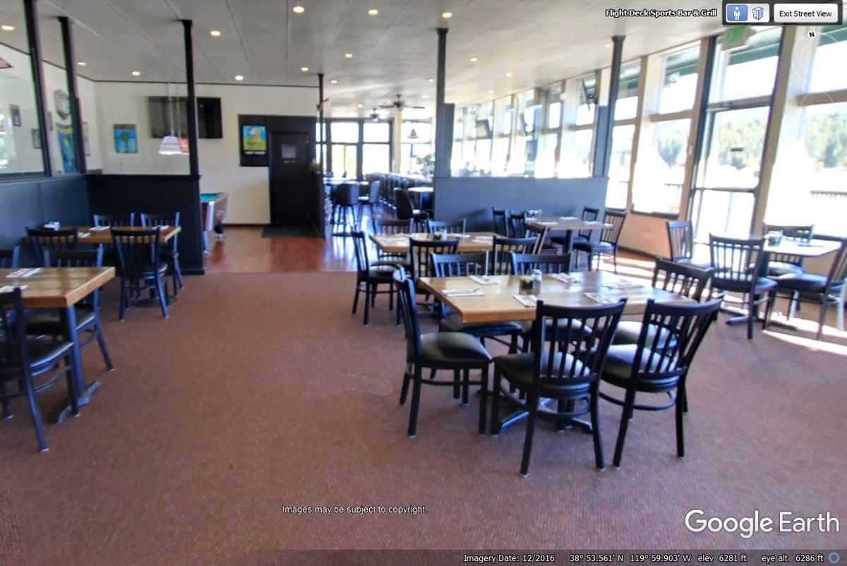
Any good airport has a restaurant and BAR (for non-pilots) where anyone
can come to watch airplanes out on the runway and the ramp in front of the
restaurant.
When leaving the airport, this one-way street going EAST is the only way
out to get back to US 50/CA 89.
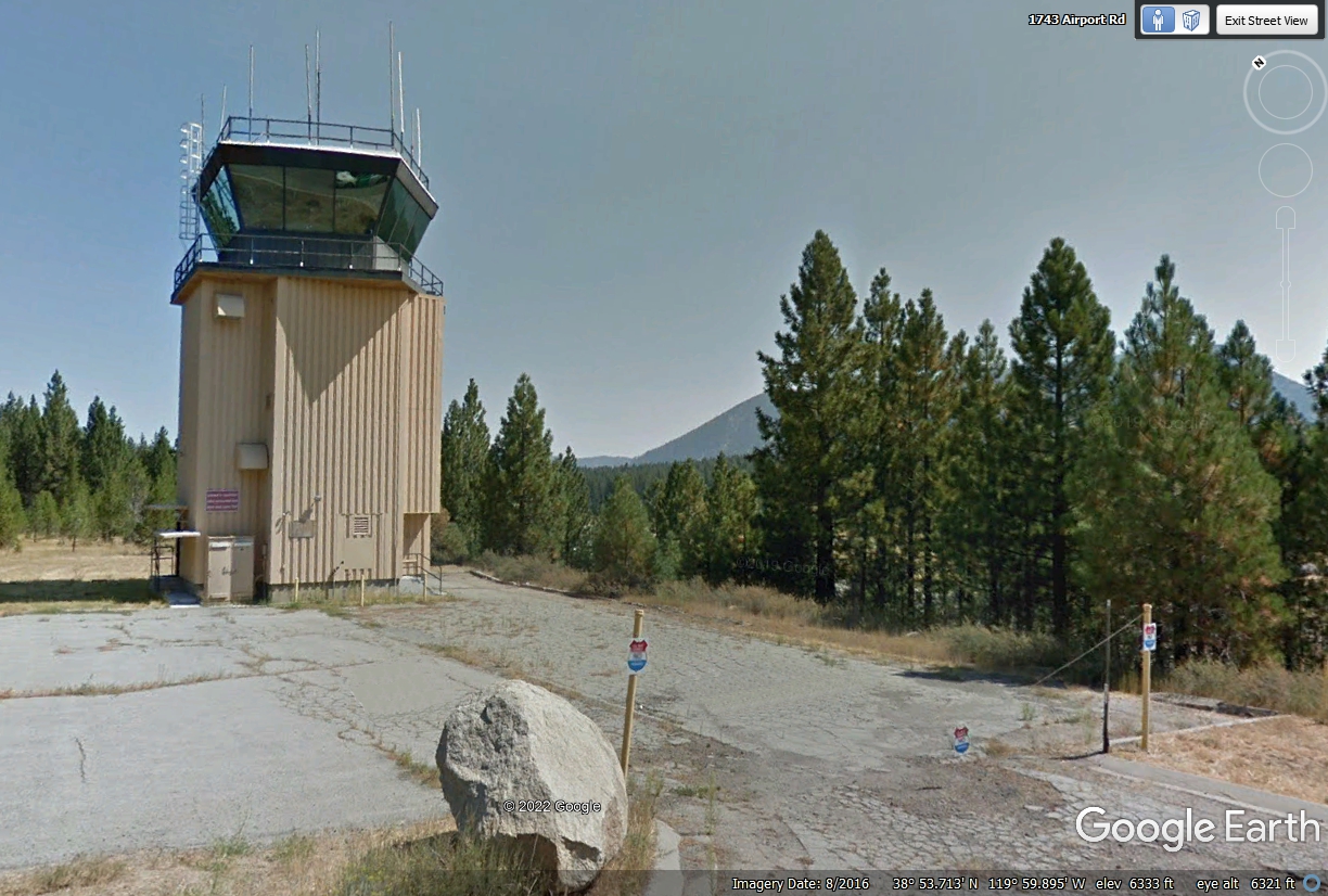
The control tower is not currently manned or active as of June 2022.
The antennas provide communications to other FAA facilities NOT on this airport.
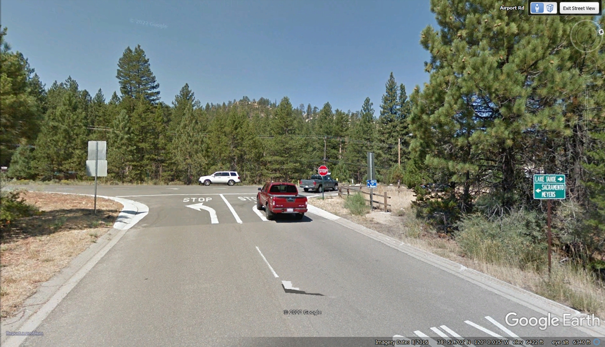
The exit from the airport is at the end of a one-way street. The
right lane turns EAST going back to Lake Tahoe. The left lane turns WEST
going toward the small town of Meyers, California where CA 89 will split from US
50 that goes over the mountains toward Sacramento. That is our route for
today.
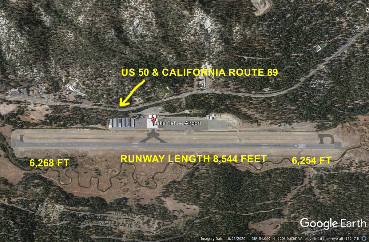
One end of the
runway is 14 feet higher than the other end, but that is not a problem.
The Google Earth compass seen in the upper right corner of the image below shows
NORTH is to right side. The runway is designated as 18 and 36 to advise
pilots it is aligned NORTH and SOUTH. US 50 and California route 89 are
also running north and south at this point.
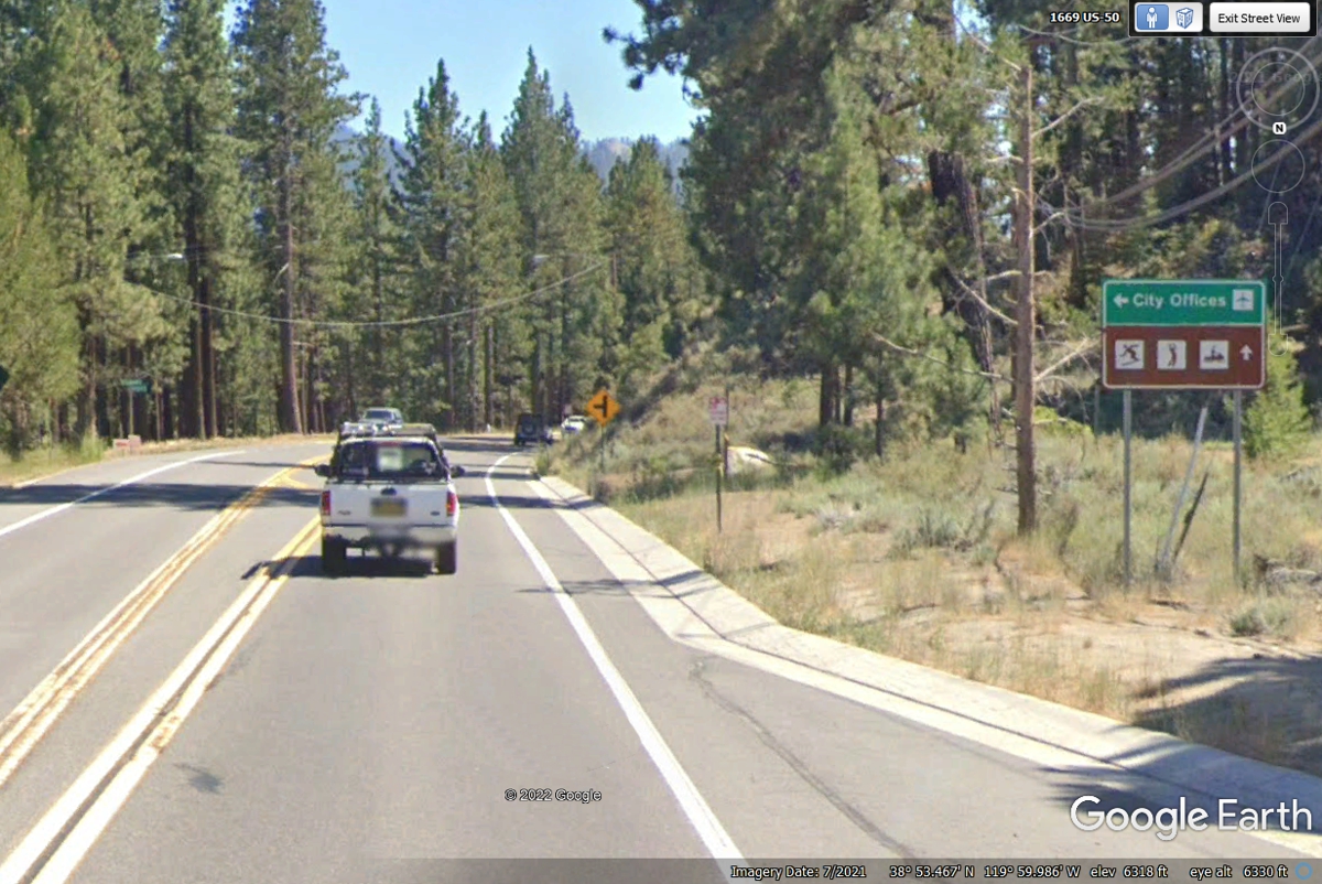
Let's get back on the highway as we soon have a mountain to climb.
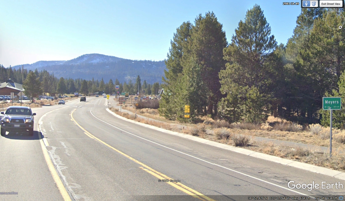
This is the community of Meyers, California.
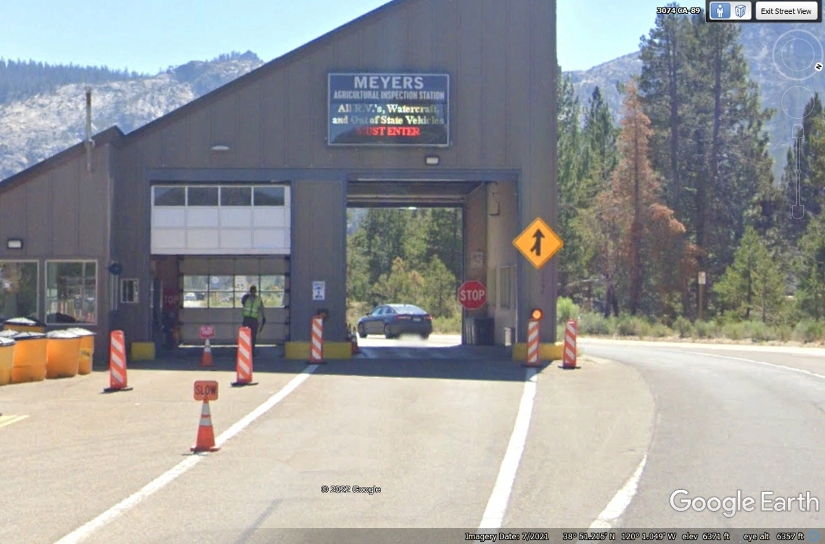
This sign seen in the image below is similar to what we have in Florida to
check for possible agricultural contamination from insect pests and fungus plant
infections.
The electronic sign on the building causes the letters to vary their
intensity. It says MEYERS AGRICULTURAL INSPECTION STATION. All
R.V.'s, Watercraft and Out of State Vehicles MUST ENTER.
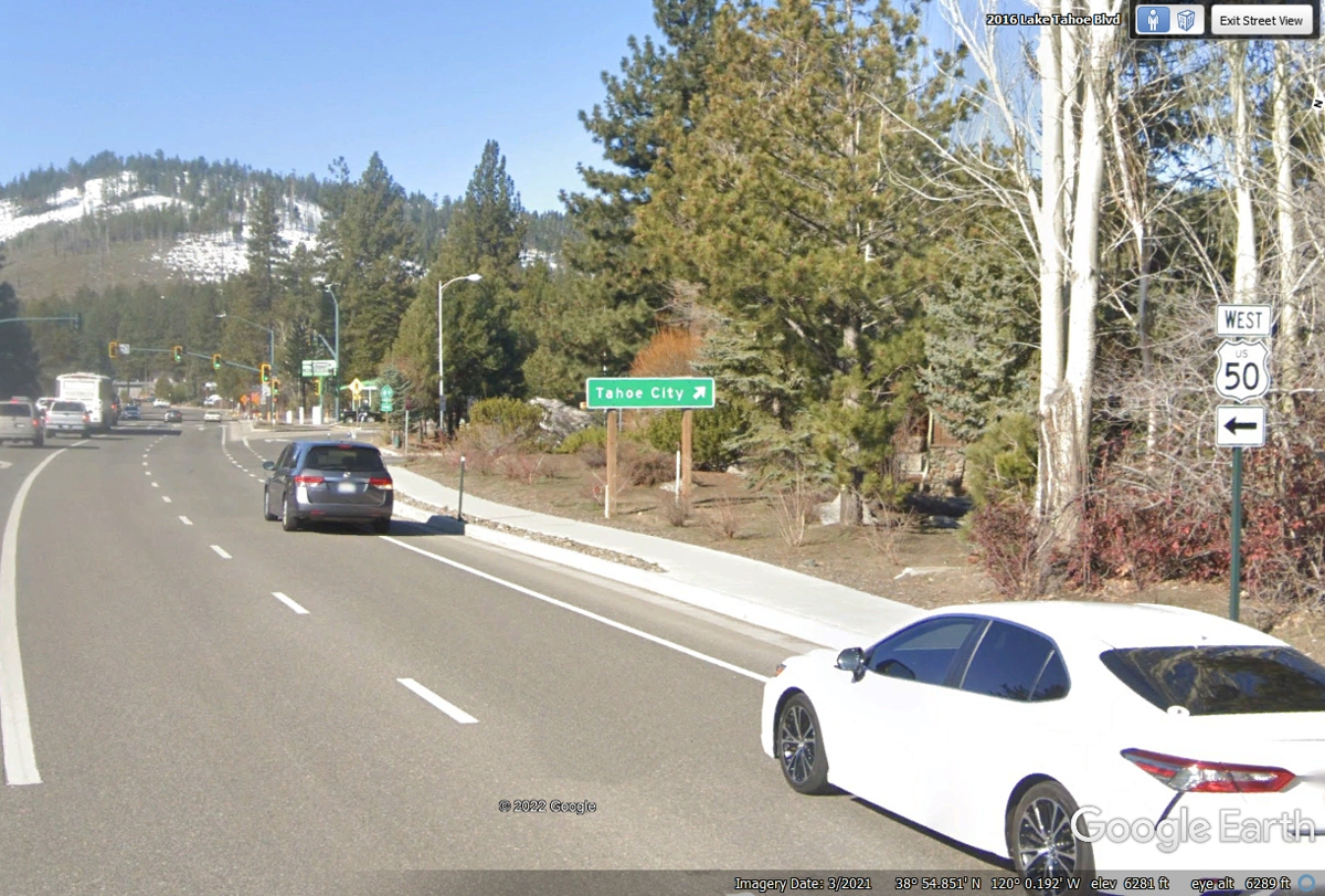
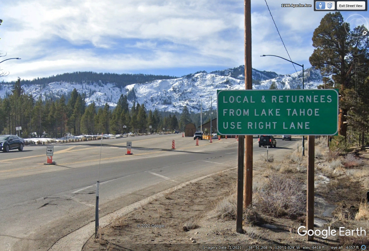
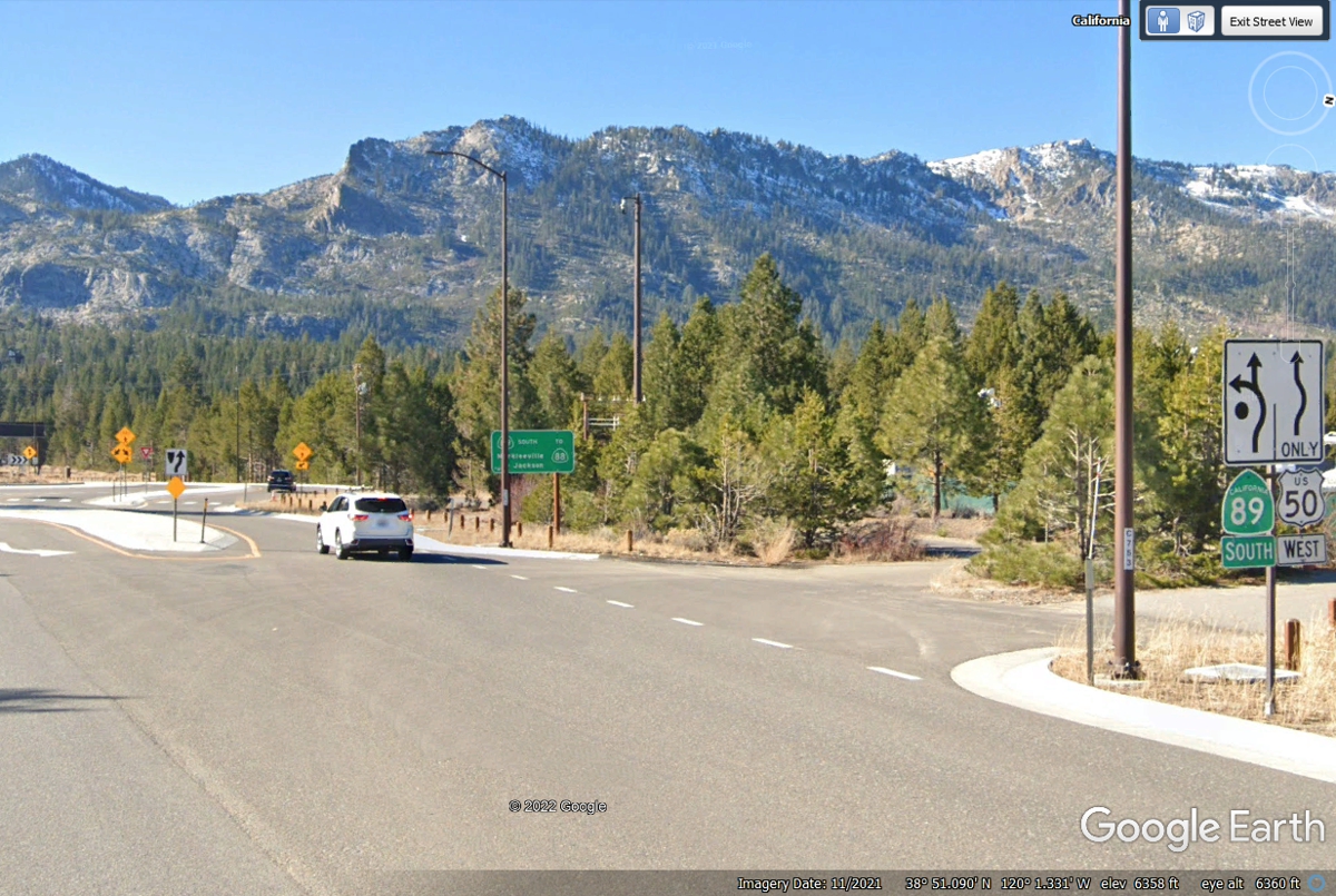
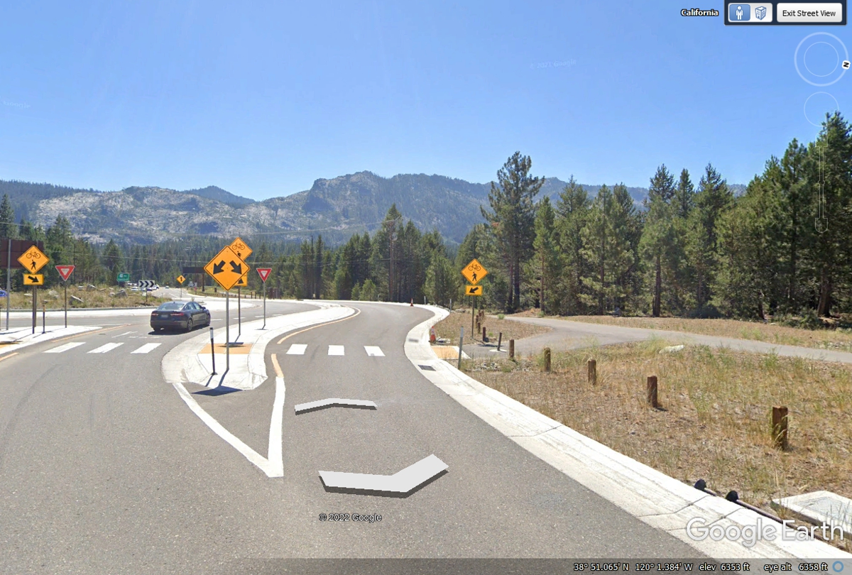
The signs at the right side of this image show the separation of US 50 from California state route
89 at the traffic circle ahead.
US 50 continues toward the Sierra mountains ahead to climb up and over to
the Central Valley which is one the largest agricultural areas in the USA.
That is the reason for the inspection station seen in the second image above.
US 50 Crossing the California Sierra Mountains
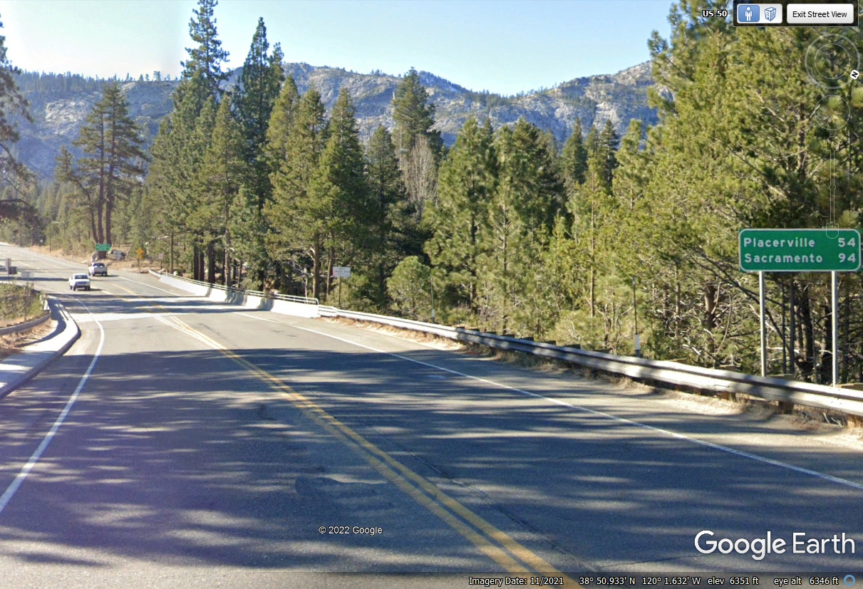
June 2, 2022: The climb for US 50 begins as we approach the
first mountain with the elevation
here at 6,341 feet. Here is the sign showing our next route change at Placerville where we
took California State Route 49 going south in the real world on this day, June
2, 2022. This virtual
trip using Google Earth images is how I share our vacation wanderings with those
of you who say "Can I go along with you on your vacation?" This
is how you get to go along with Linda, her dog named Chase, and me of course.
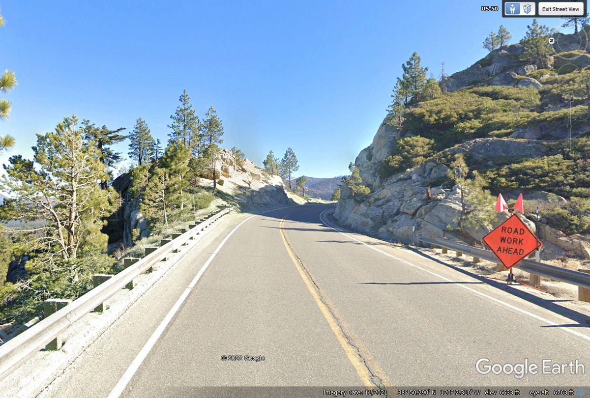
This ROAD WORK AHEAD sign looks very familiar to the one we encountered
when we passed this way on June 2, 2022. It is almost 300 feet higher than
the image above when we actually started climbing the mountain. The
elevation here is 6,633 feet above sea level about 300 feet above the image
above.
This ONE LANE ROAD AHEAD sign is 6,941 feet above sea level.
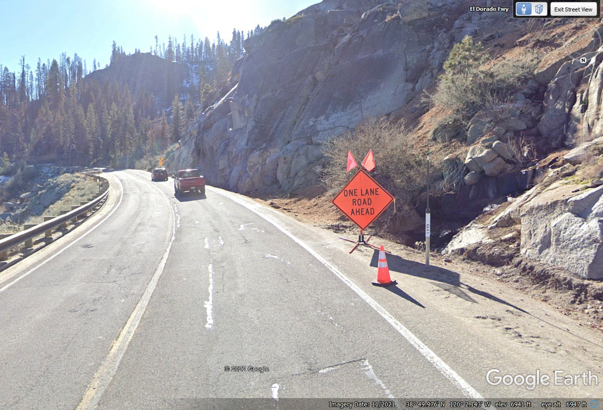
There were escort cars and flagmen at two different locations when we
climbed the mountain going this way on June 2, 2022. The elevation at this
Google Earth image location is 7,133 feet above sea level. One of those
stops waiting for the escort took some time before we were moving again.
The view looking toward the other mountains can be very majestic.

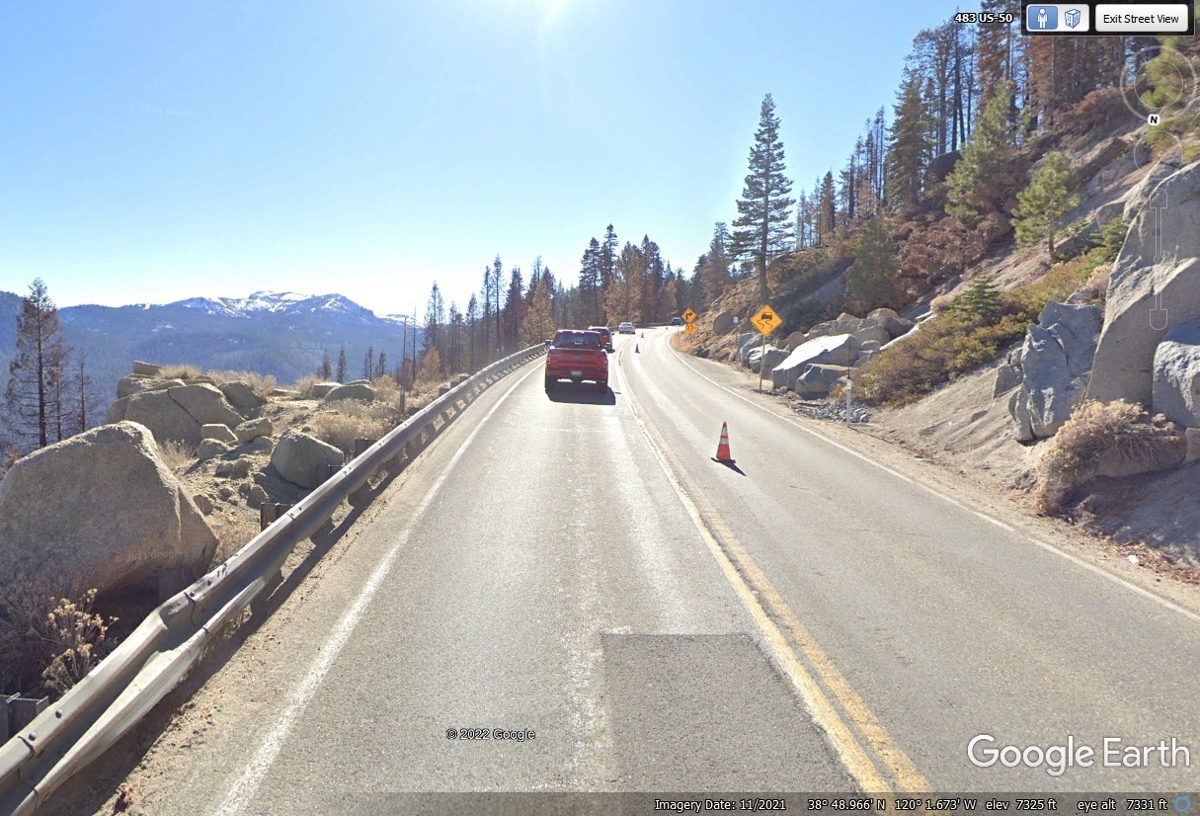
This image shows 7,325 feet above sea level as we are approaching the
summit.
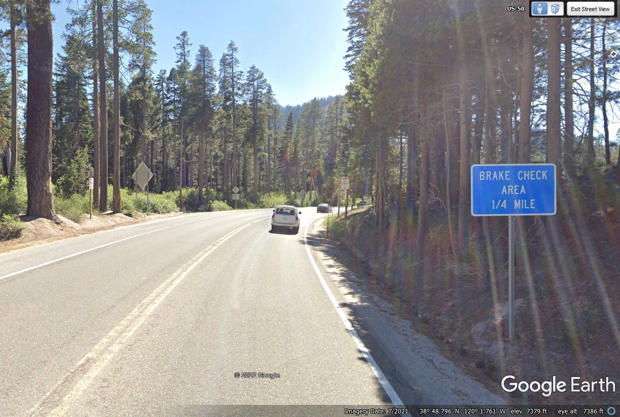
The top of the mountain at this point is 7,379 feet above sea level.
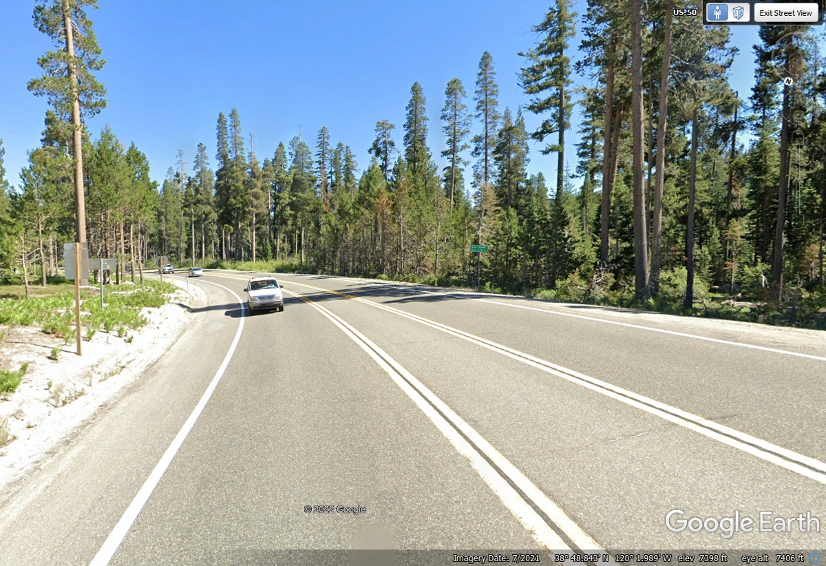
At what seems to be the high point of US 50 across the mountain, Google
Earth is showing about 7,400 feet above sea level.
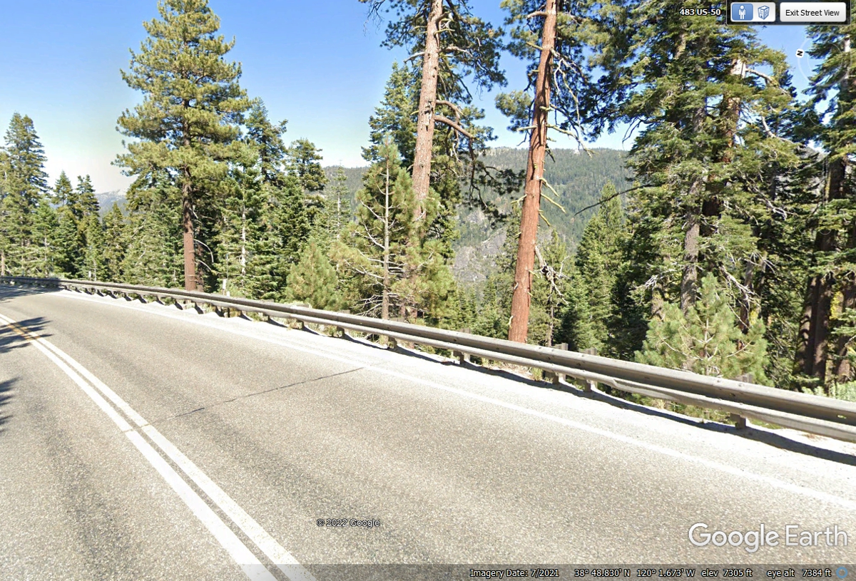
The descent from the mountain top has begun here at 7,305 feet above sea
level. There are other mountains that are taller around our position.
US 50 has moved away from the bluffs that defined the view across valleys
to nearby mountain peaks. At this point on the downhill route of US 50
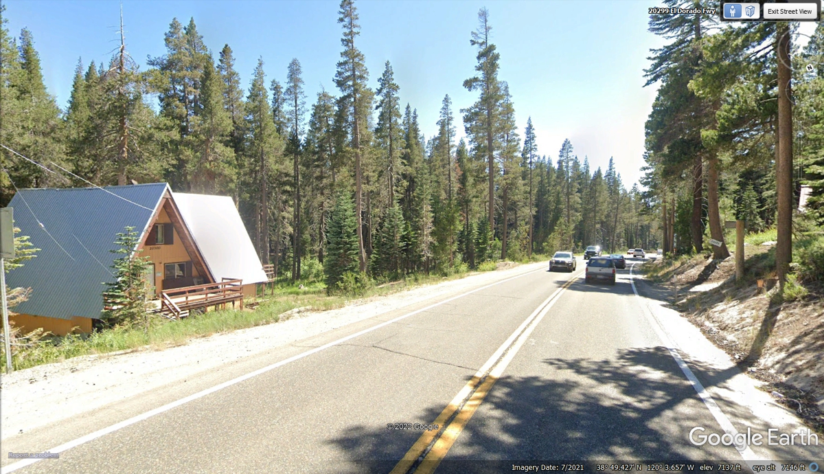
there is room for private homes and other state buildings on both sides of the
road. Not only is this A-frame house on one side of the highway, there is
a driveway connected to the other side of the highway going to another home
behind the trees adjacent to the US 50 right-of-way. This Google Earth
image is from July 2021. We passed the highest point on the highway near
the summit at 7,400 feet MSL. This image shows the elevation at 7,137 feet
above sea level.
US 50 is now a four-lane highway heading down the west side of the Sierra
Mountains toward Placerville, California. The elevation is now
7,000 feet MSL.
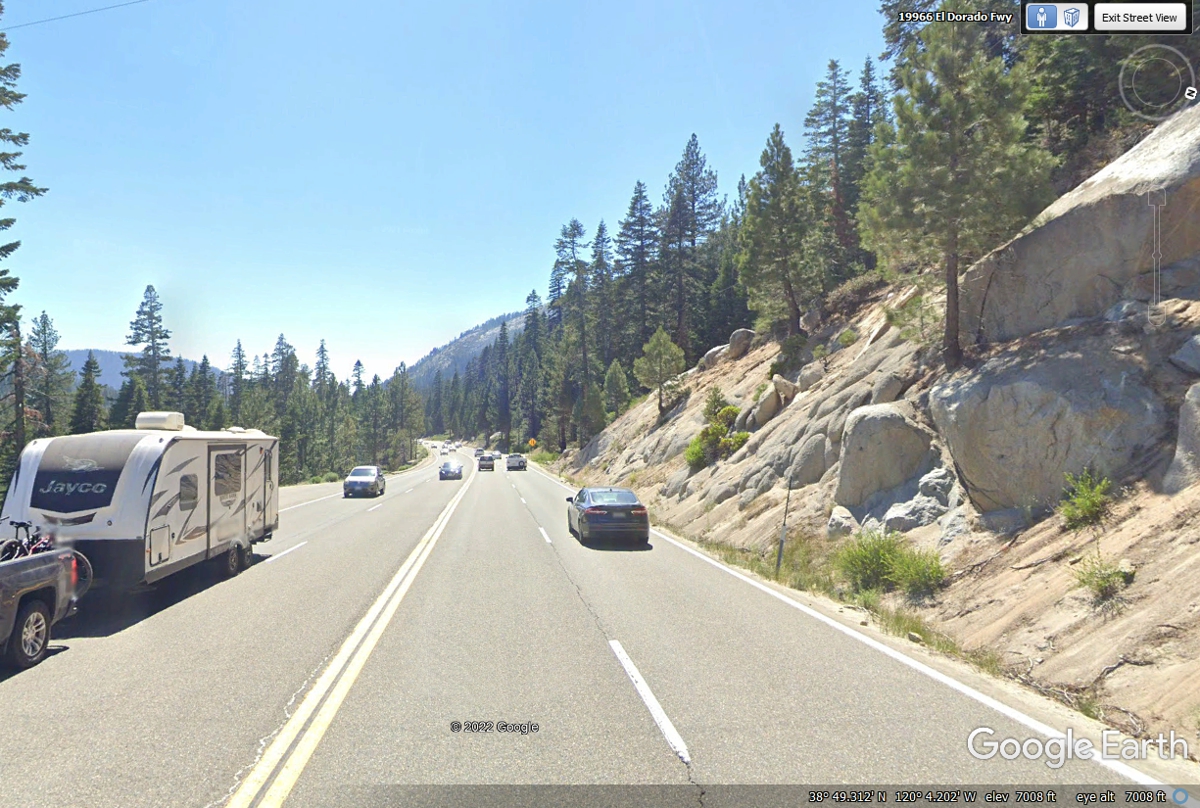
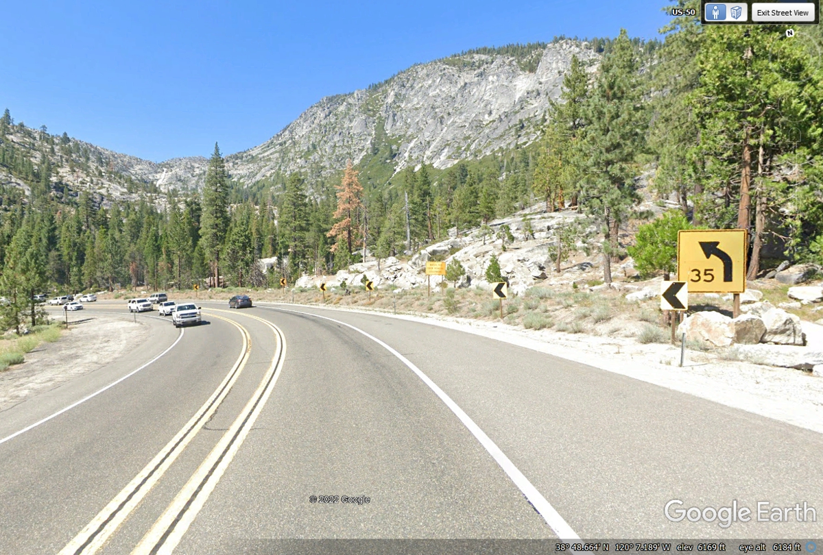
The elevation is down to 6,169 feet after some four-lane highway is
becoming the 3-lane pattern with passing lanes where there is sufficient
right-of-way width. The road is doing U-turns and S-turns to follow the
terrain coming down hill.
Strawberry Station General Store has a US Post Office in the building.
The elevation here on US 50 is 5,716 feet MSL.
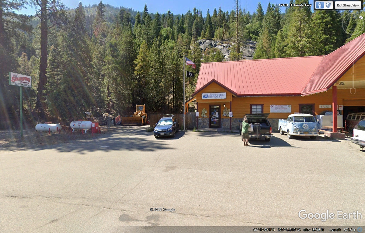
This image below is a few miles west of the Strawberry General Store and
post office seen above.

| ROUTE 49 CALIFORNIA GOLD RUSH AREA - PAGE 29 | RETURN TO WESTERN TOUR INDEX PAGE |