May / June 2022 Vacation Day 9 · · PAGE 22.
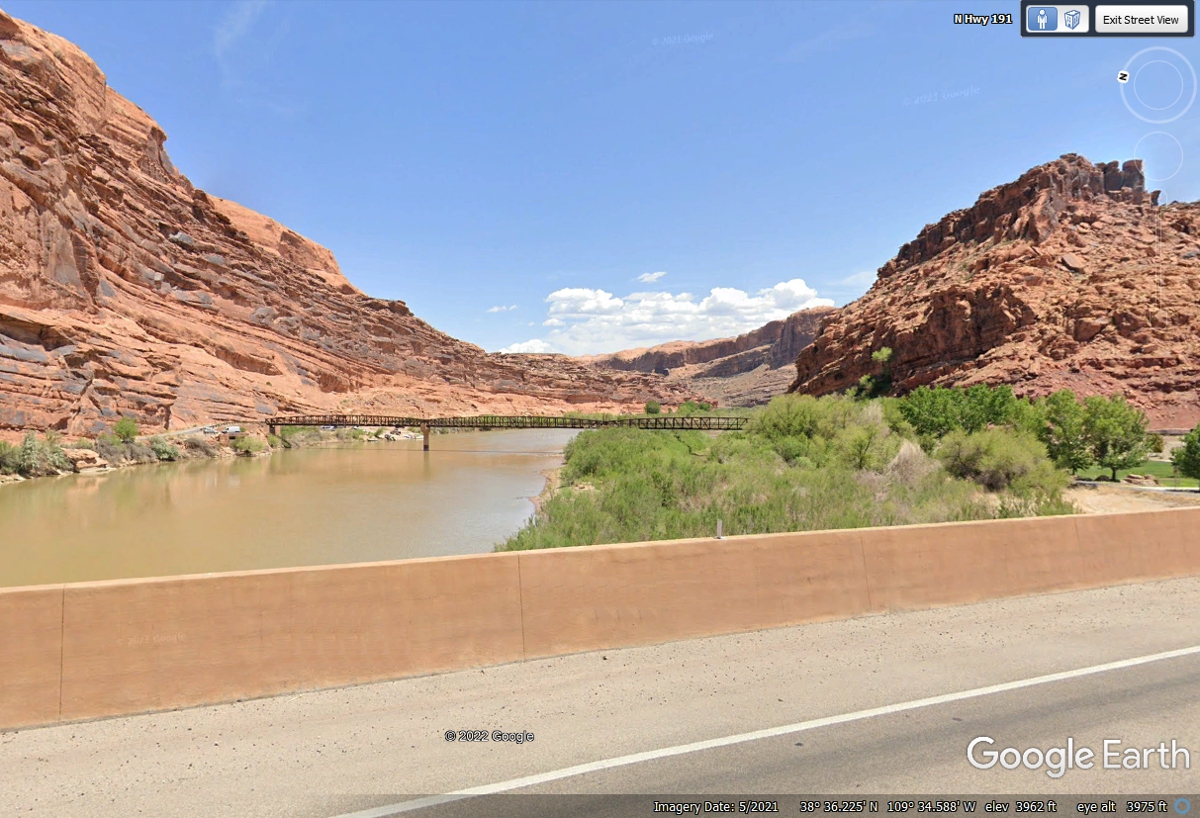
May 31, 2022: The US 191 bridge
across he Colorado River is just north of the town of Moab. This image is
looking up stream East from the bridge.
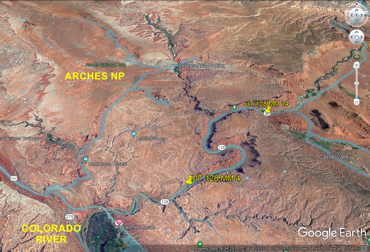
Arches National Park gets my virtual attention before we come back to Utah scenic
route 128 to run parallel to the Colorado River north from Moab.
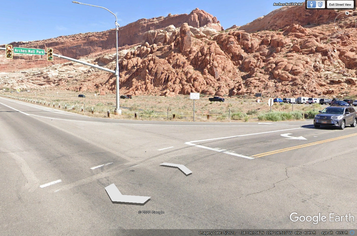
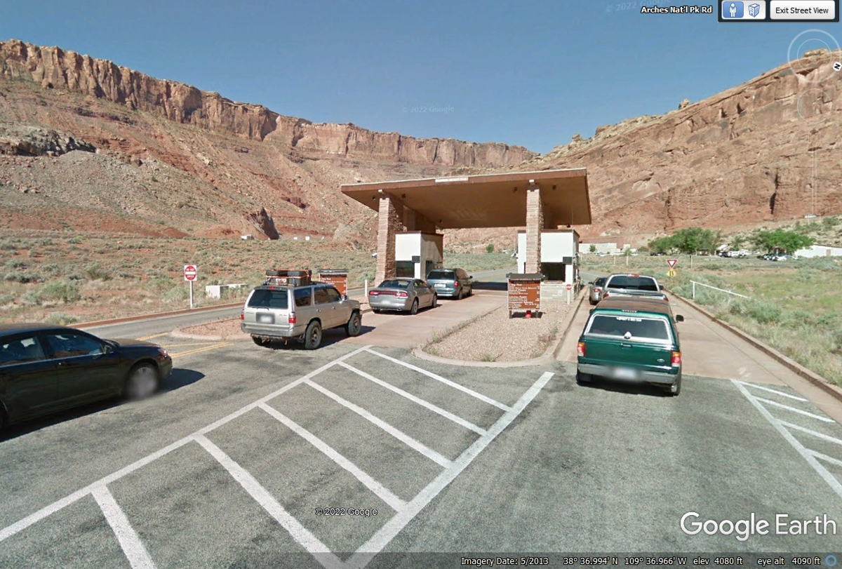
The entry to the Arches National Park is not far from US 191, but it has a
long entry road to keep traffic from backing up on to the highway.
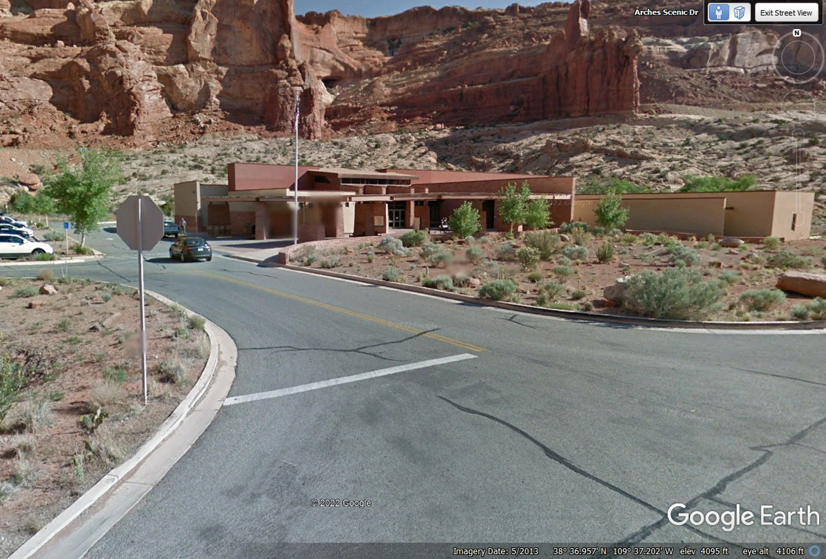
The Visitor Center is just beyond the entry gate before the road starts
climbing higher above the valley where the town of Moab and the Colorado River
are located.
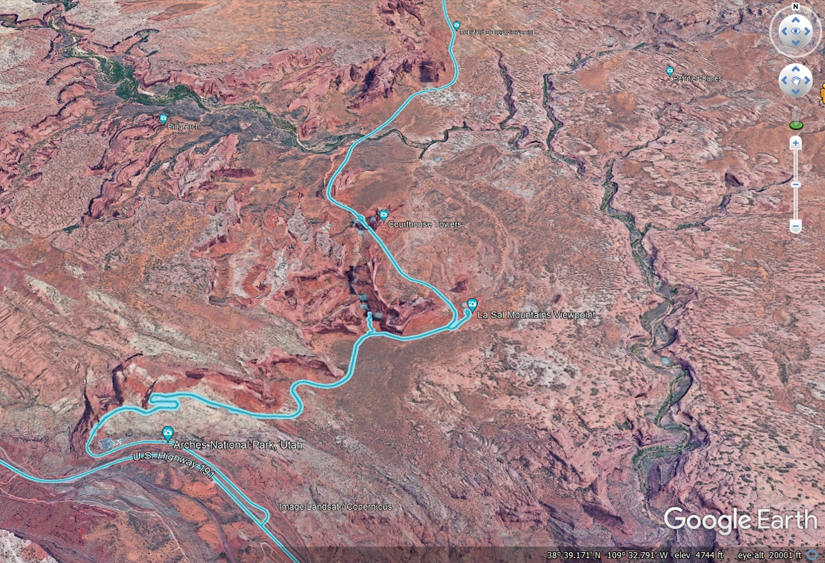
I got this image using Google Earth to show the road through the park.
I used the ground track from my GPS to add to this image below.
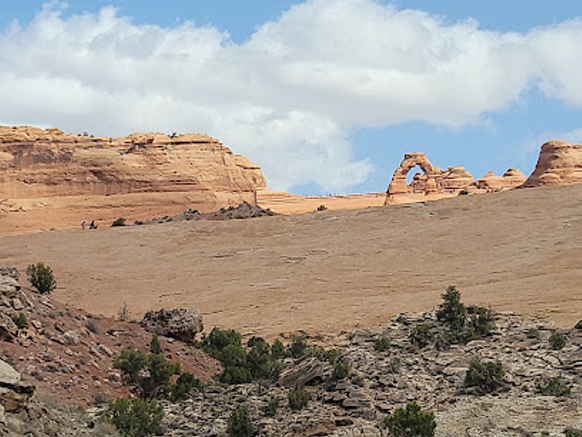
Delicate Arch is the one that has been featured on the UTAH license plates
for some time now. It is a strenuous up-hill walk for people who are not
conditioned hikers.
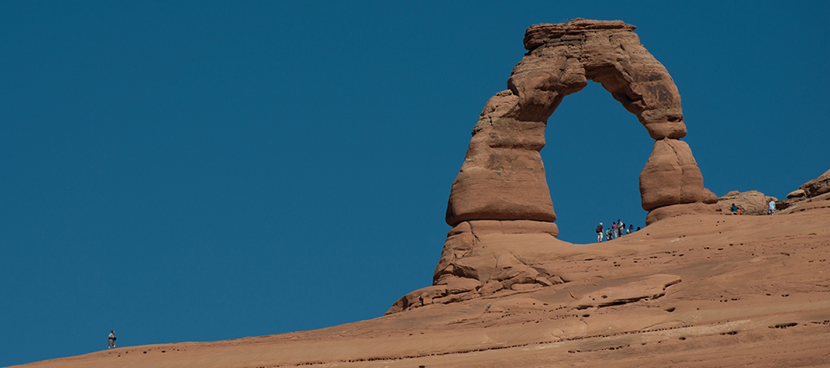
Here is the link to the National Park service image of the Delicate
Arch. Note how small the people are compared to this arch.
https://www.nps.gov/arch/planyourvisit/images/DSC_0749_2.jpg?maxwidth=1200&maxheight=1200&autorotate=false
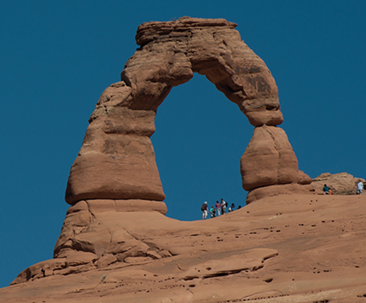
This is part of the image above to emphasize the size of the people to the
arch. Looking at this image makes me wonder why they named it
"DELICATE ARCH."
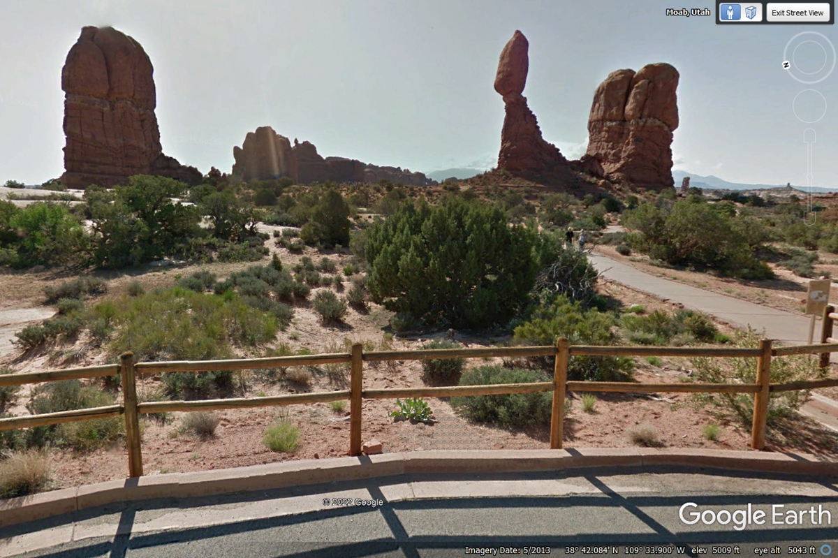
Coming up from the entrance takes us past this rock formation called
BALANCED ROCK. This is one of a number of places where you can drive your
vehicle up close.
Google Earth provided this image of North Window Arch.
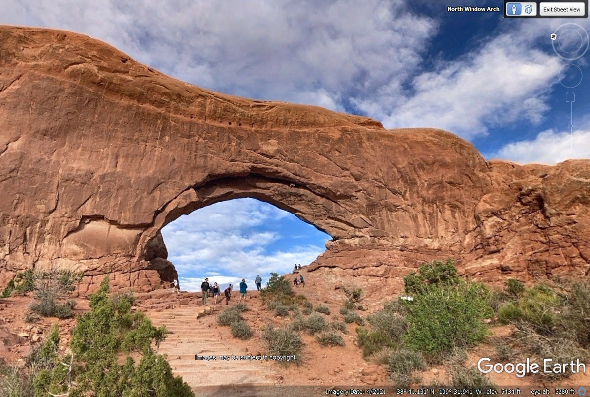
Private individuals provided some of these images to Google Earth.
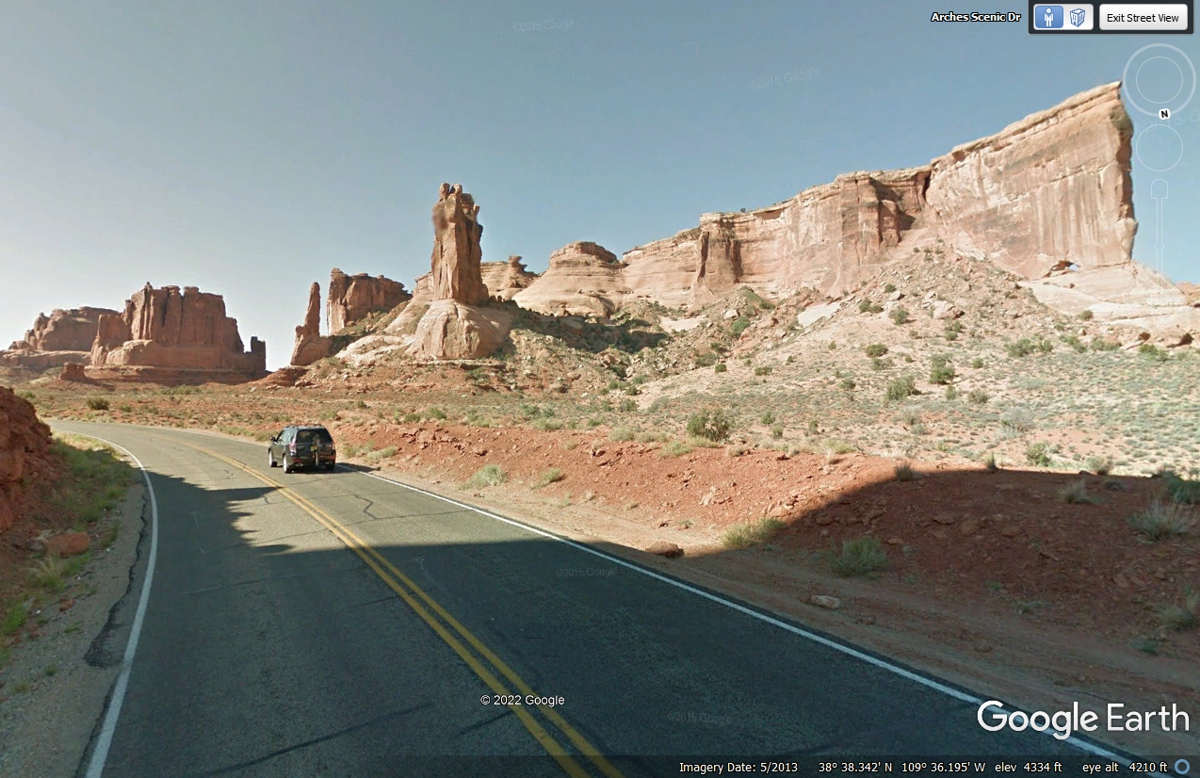
This group of formations is called PARK AVENUE.
This wider aerial view has the Colorado River and Utah state route 128
coming down from the upper right corner of the Google Earth image. The
BLUE lines are where Google Earth has driven their photo vehicles allowing
close-up views along the path.
| UTAH DESERTS & COLORADO RIVER - PAGE 23 | RETURN TO WESTERN TOUR INDEX PAGE |