Saint Louis Arch · · PAGE 9.
July 22, 2019: The ride from the hotel
to the arch was easy and relatively quick. I parked the car in a tall
parking garage about two blocks from the national park boundary. I
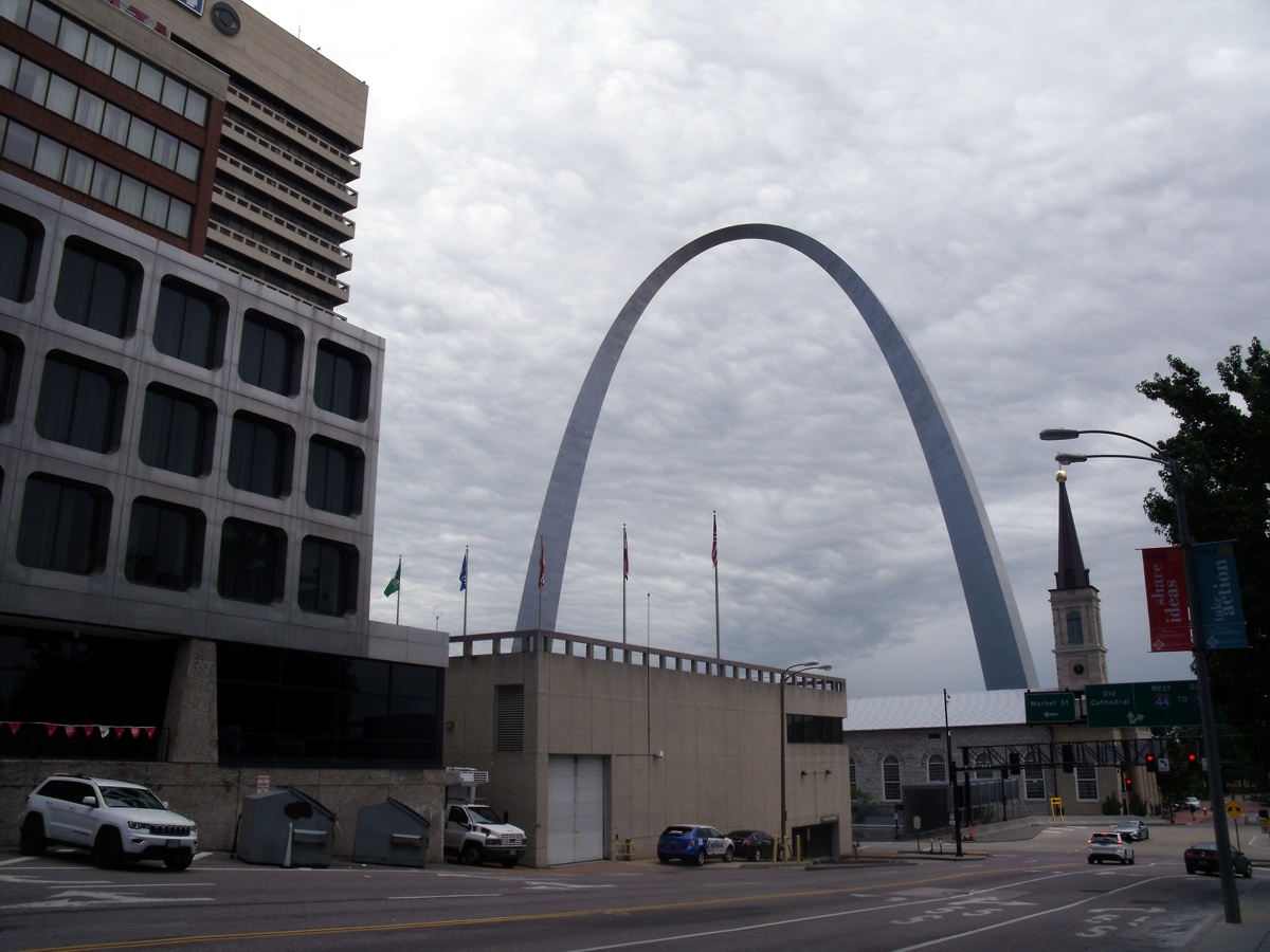
remembered to take this image after our visit to the Arch on the way back to the
parking garage. I used the forced flash on my camera to get the
reflections from the road signs at the intersection by the church.
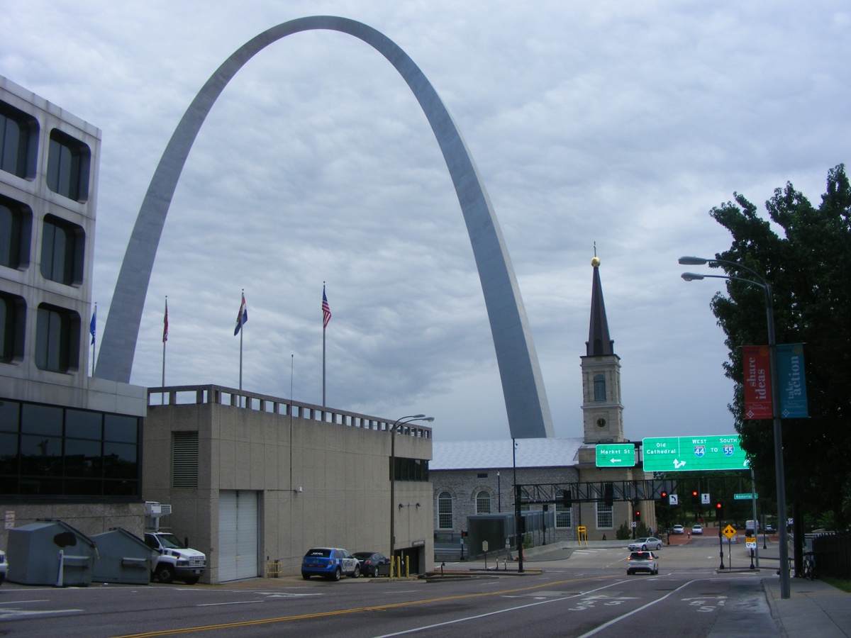
This second photo taken at the main intersection west of the arch shows
all of the church and much of the arch. The forced flash works very well
on the road signs and the red tail light reflector on the SUV at the bottom of
this picture.
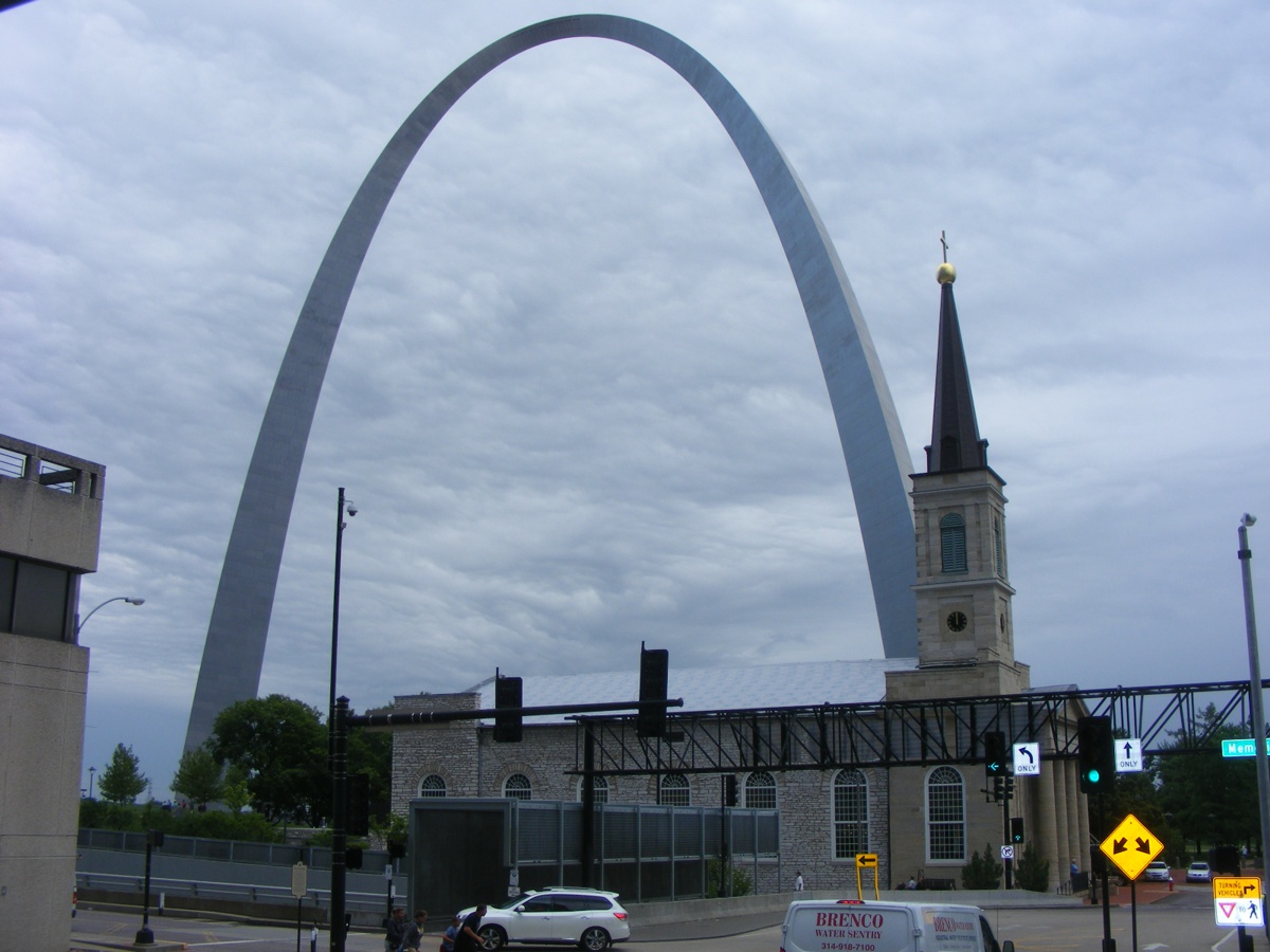
This image taken closer to the church gives some idea how massive the arch
really is when you get nearer to it.
Down at ground level, it is hard to get an image of anything except the
base of the legs of the arch and the bridges across the Mississippi River in the
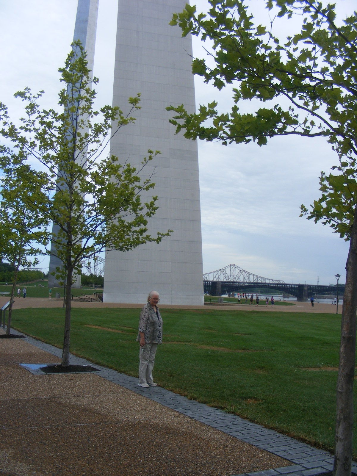
background. My friend Linda puts more emphasis on the size of the
arch. There are a few people closer to the south leg seen in the bottom
left corner of the picture below. She took a photo looking up at the arch
from where she is standing in this image. You will see her photo on the
next web page.
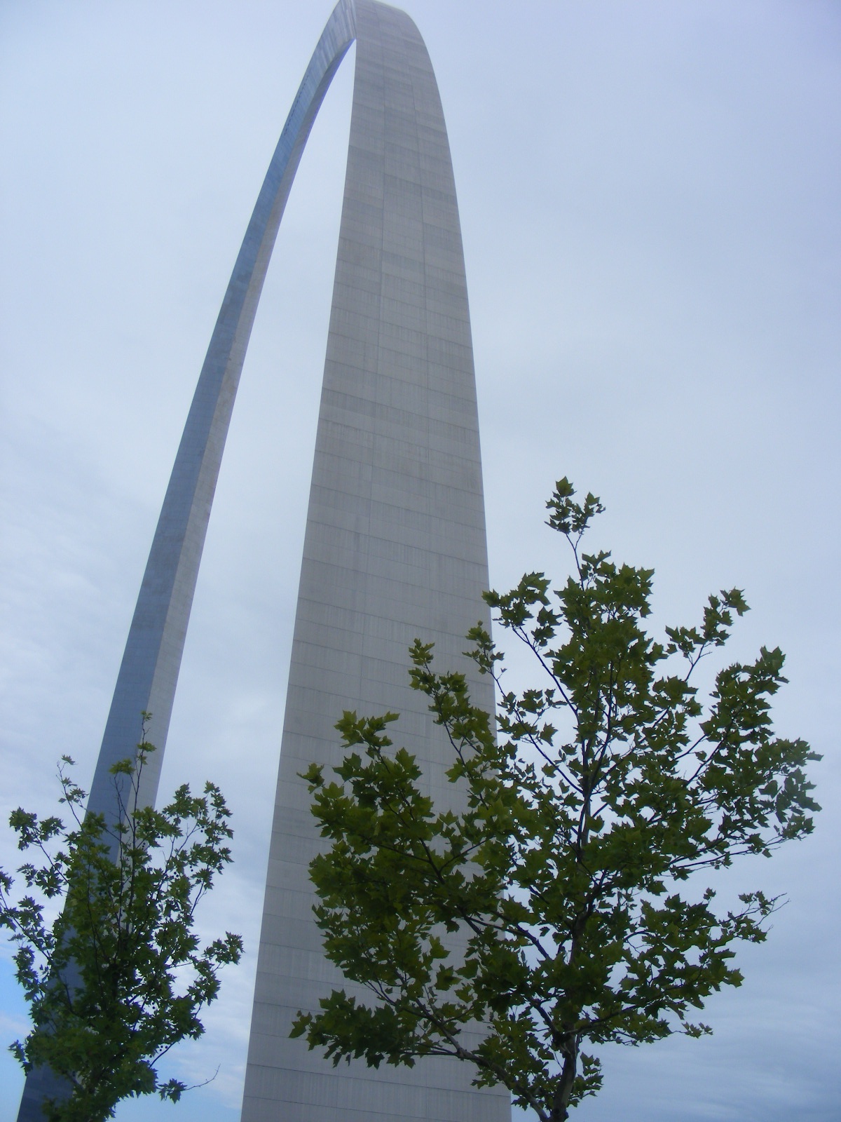
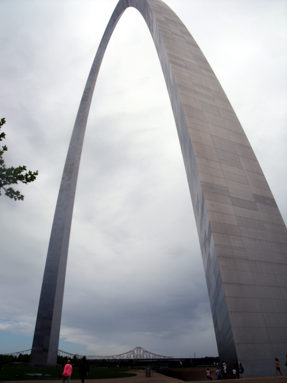
Turning my camera upward to catch the top of the arch adds more to the
understanding of just how massive this structure really is compared to the trees
seen below. The same trees are seen in the photo above with Linda.
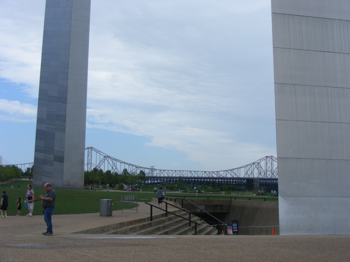
This photo taken closer to the arch looks toward the two bridges north of
the national park grounds. Both bridges carry cars and trucks across the
river. The stairs lead down to one of the entrances to the underground
museum and access to the top of the arch via elevator modules for five people to
ride to the top in each module. The blue sky and clouds in this photo
below are evidence of the cool weather front that pushed out the rain from last
night.
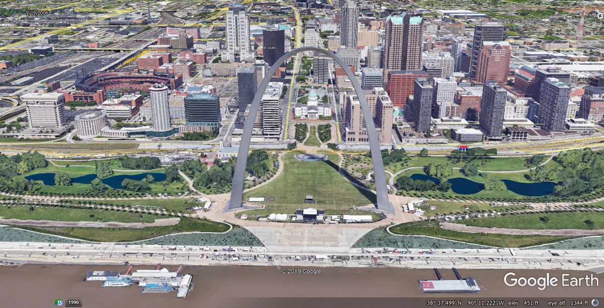
The image below is from Google Earth and shows the arch similar to how I
saw it on July 24, 2010 on the way to Oshkosh in my airplane with my son
Edward. You can see TWO of my web pages from that day by CLICKING
HERE. Don't forget to come back to this page to continue our vacation
tour. We are on our way to AirVenture 2019 in Oshkosh, Wisconsin
plus the US Air Force Museum near Dayton, Ohio with many more photos to
get us there.
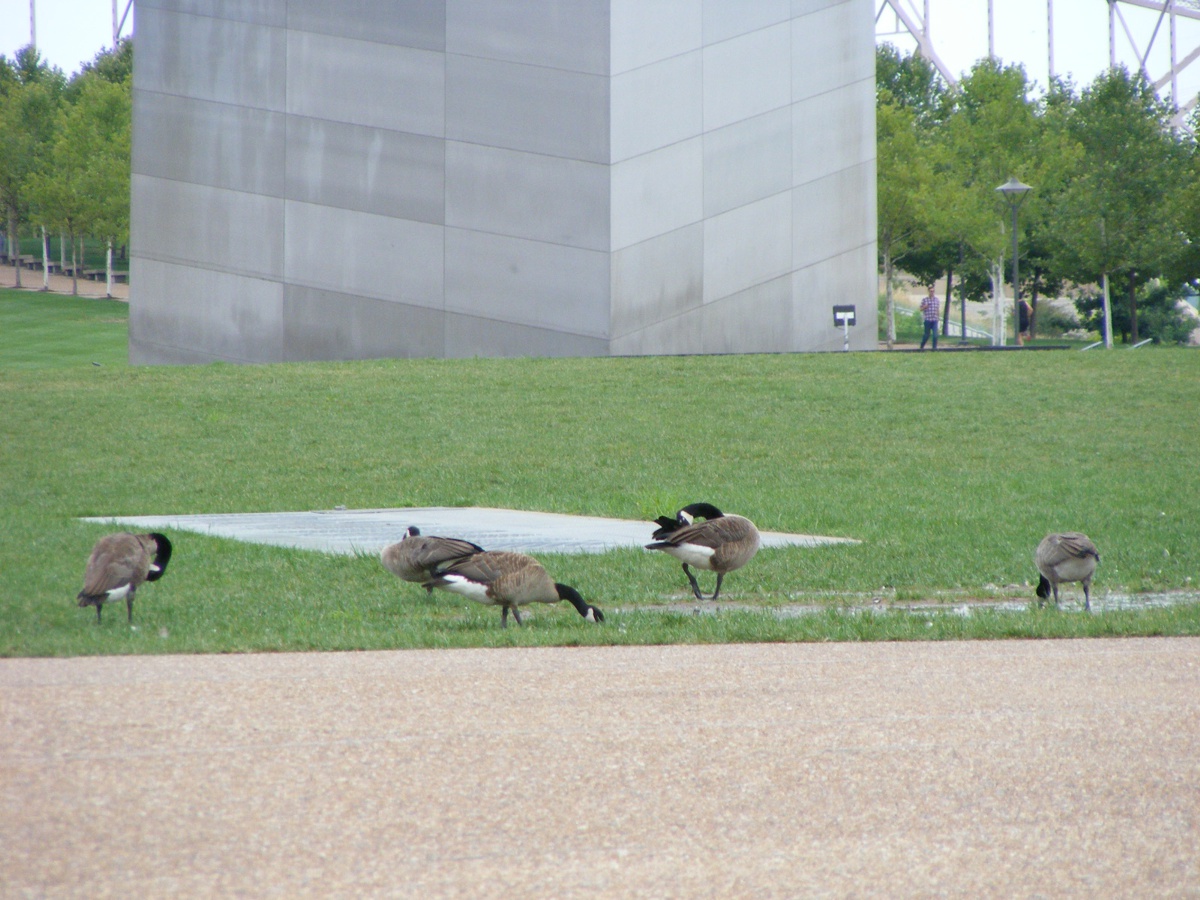
Some of he tourists I saw on July 22, 2019 flew in for a quick drink on
the grounds at the arch.
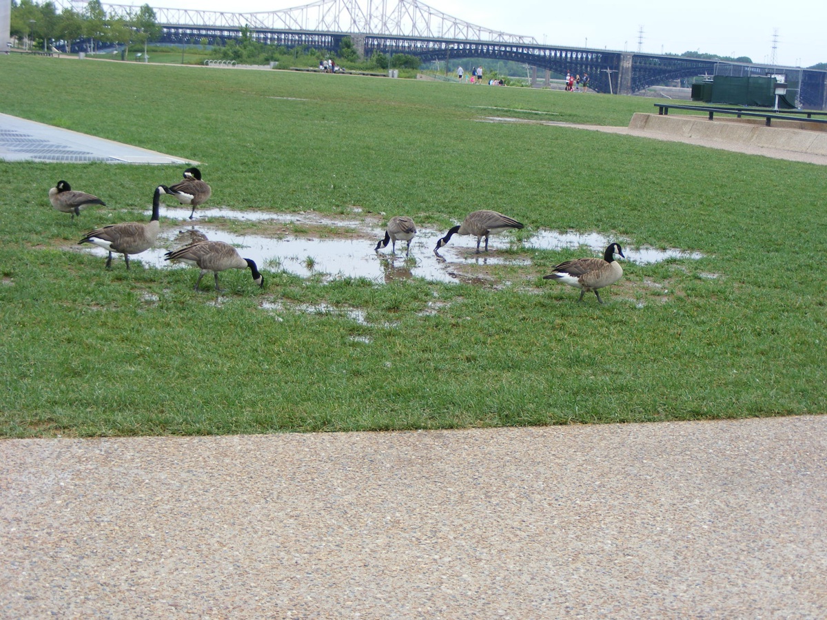
These visitors from Canada don't care who takes their photo.
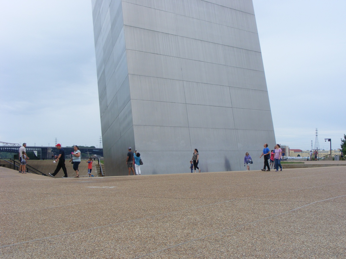
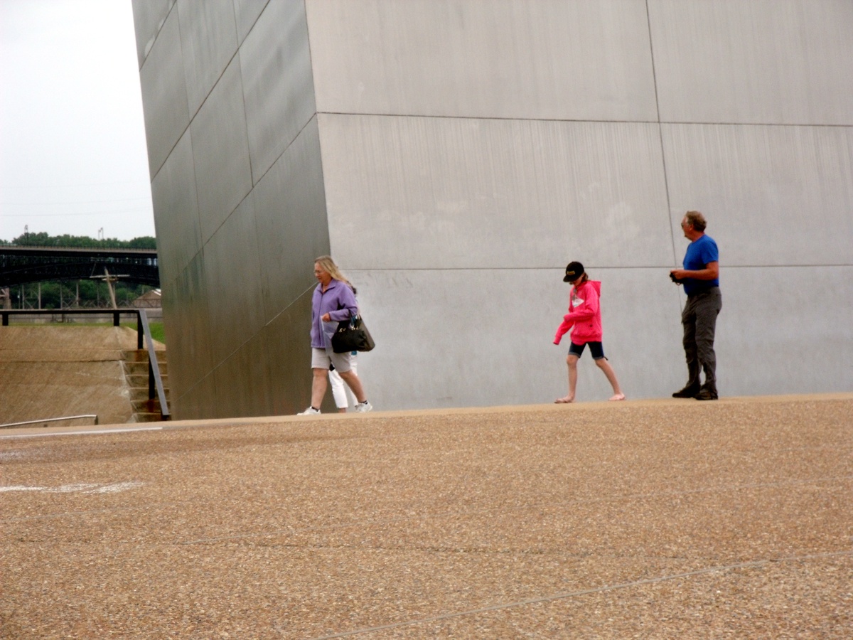
The image below puts things in perspective with tourists near the base of
the south leg of the arch.
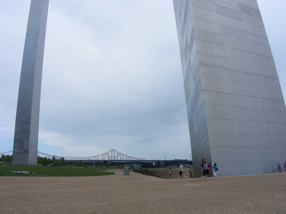
A second similar photo adds to the "human compared to the arch" dimensions
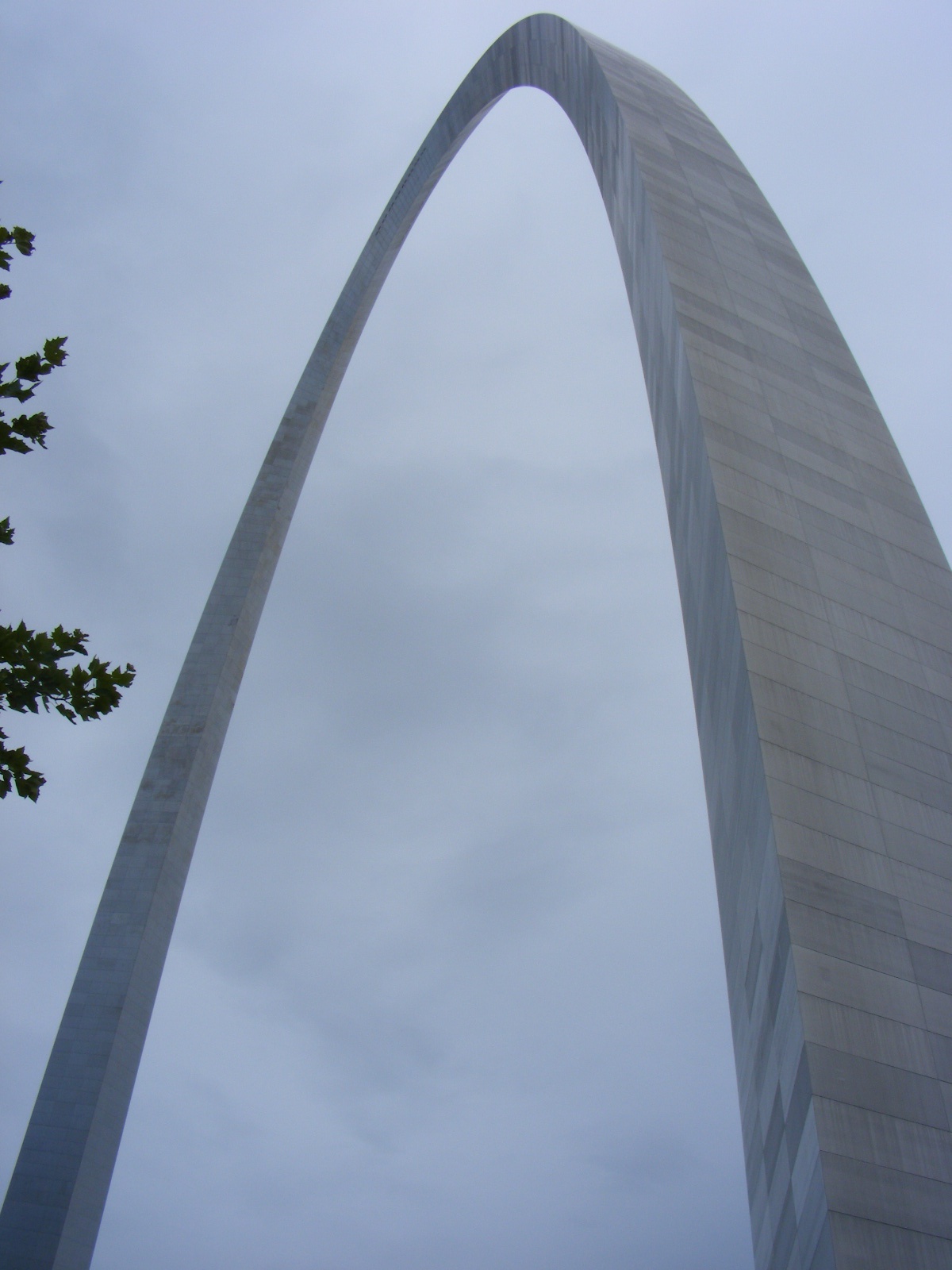
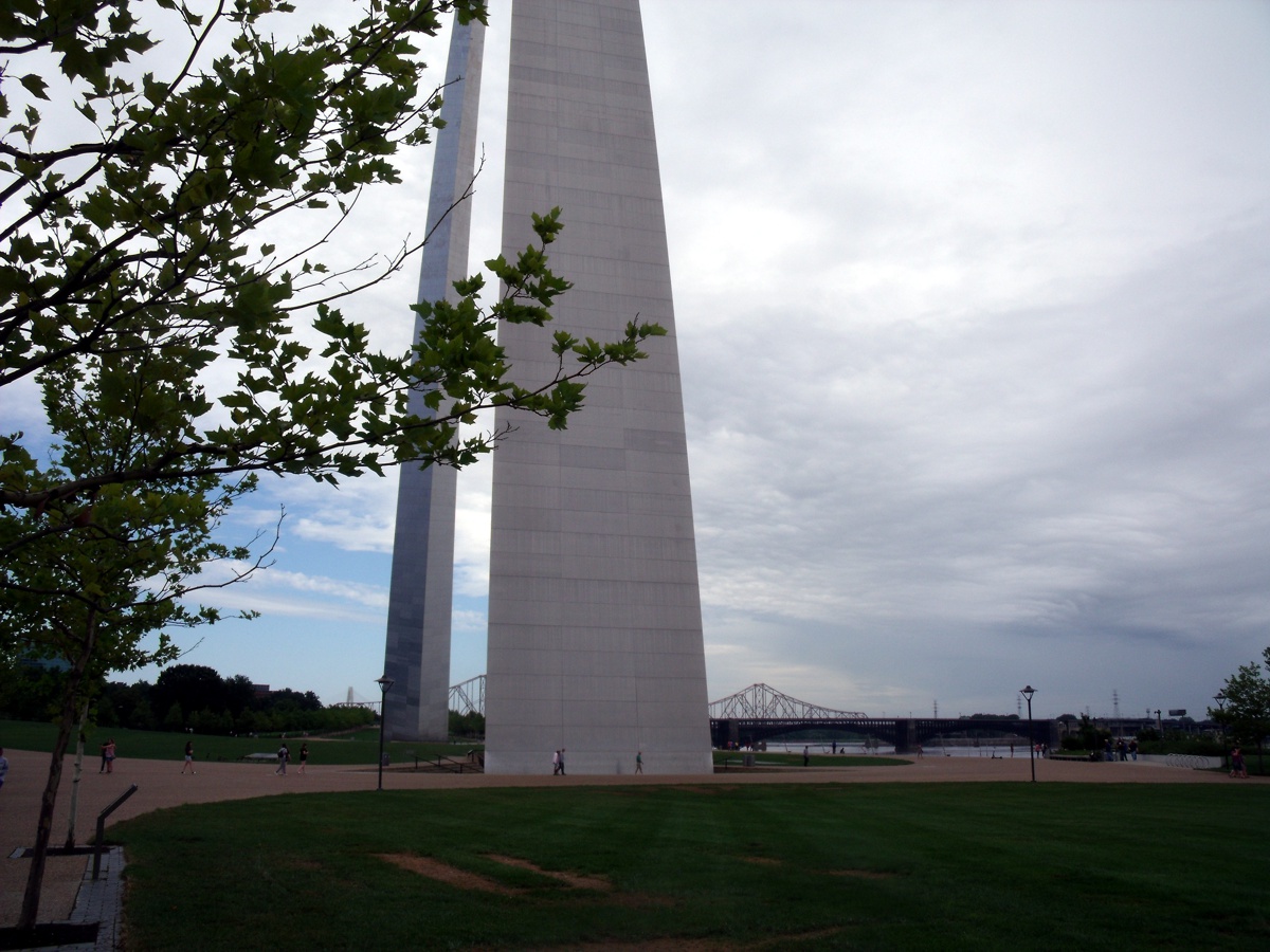
This is as close as I could get to the arch looking up. Only the
tree beside me is available for comparison.
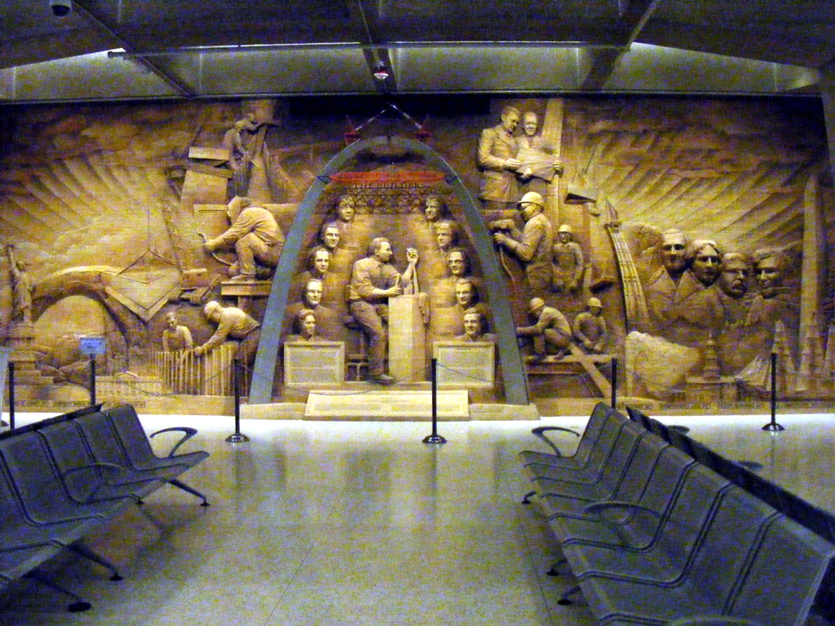
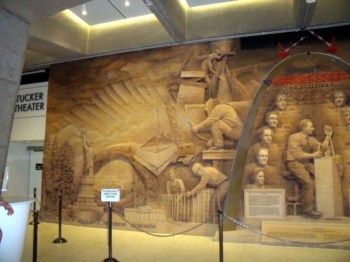
This mural depicting the builders of the arch with comparisons to other
national monuments is located down in the museum under the arch.
Linda took a number of
photos when we were at the arch. She stood closer to the mural and got
better photos with her flash filling in many details.
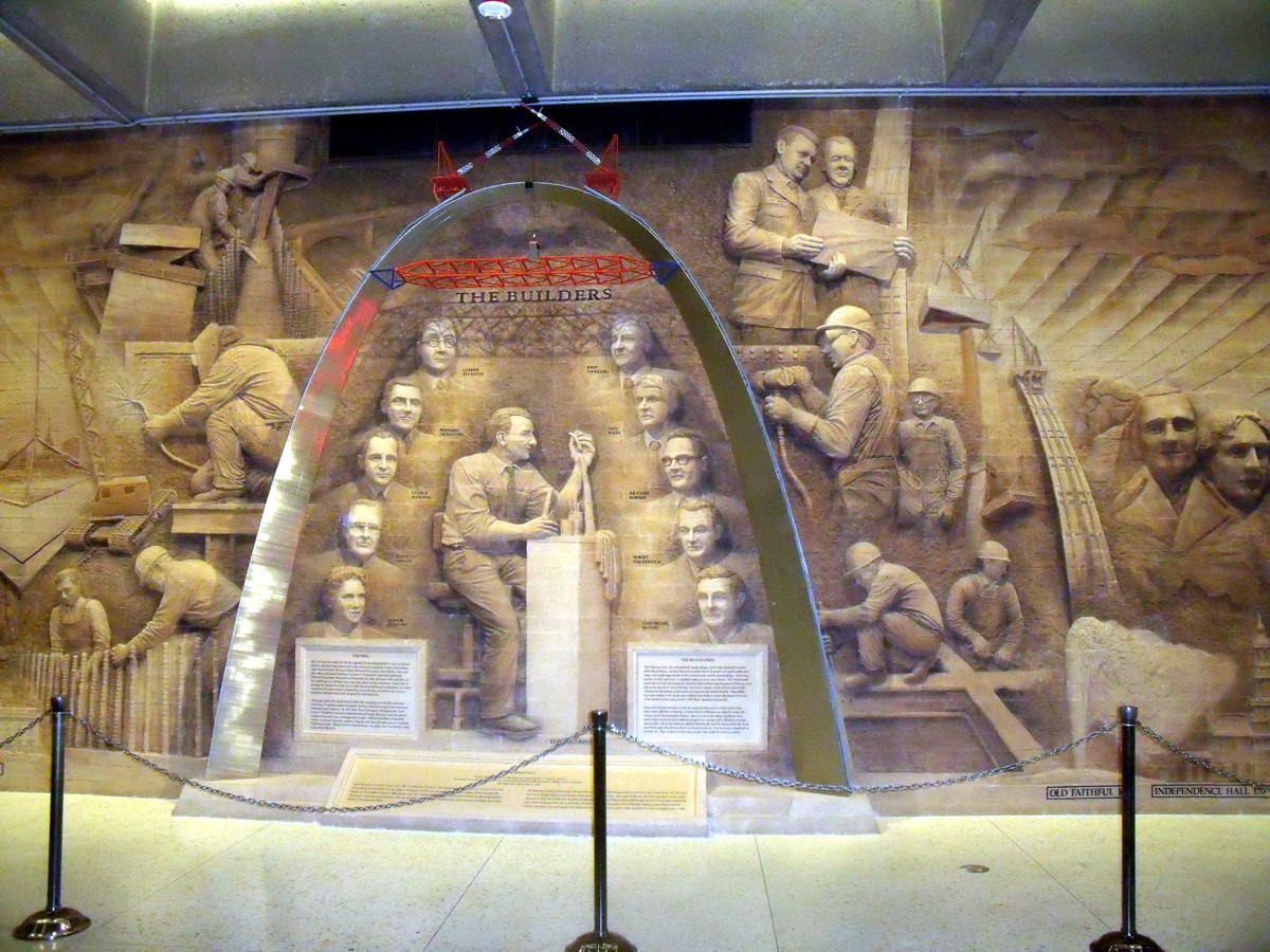
Linda had the idea of being closer to get more details of each side
of the mural as the RIGHT SIDE is seen here. Many more details are seen
here and in the next photo below this one.
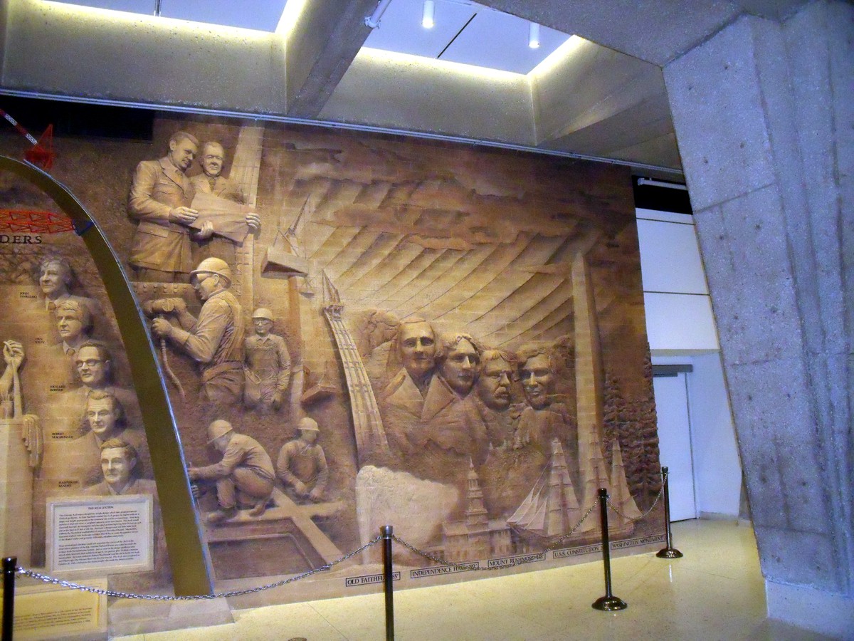
Here is the LEFT side of the mural from her camera.
You can tell she was standing near me when she took her photos seen
below.
Her tourist photo by the south leg of the arch is closer with more
details.
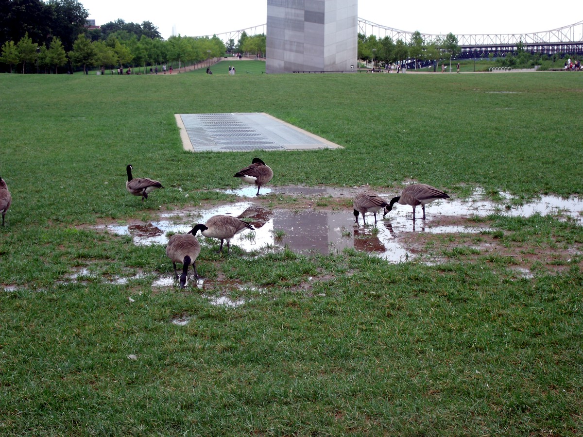
Her photo of the Canada Geese also has more detail from the
background features.
Linda used her camera with the better WIDE-ANGLE capability to take
all her photos on this entire trip. This is taken from the spot where I
snapped her photo seen near the top of this web page.
She took this photo as we walked back to the parking garage.
This is the last photo taken in Saint Louis before we headed north through
Illinois heading toward Iowa.