Lookout Mountain & Chickamauga Battlefield · · PAGE 20.
November 18, 2020: Wednesday continues
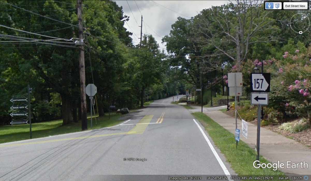
on Lookout Mountain after we cross the state line into Georgia. This left
turn will take us to a different route off Lookout Mountain on the East side
back toward Chattanooga.
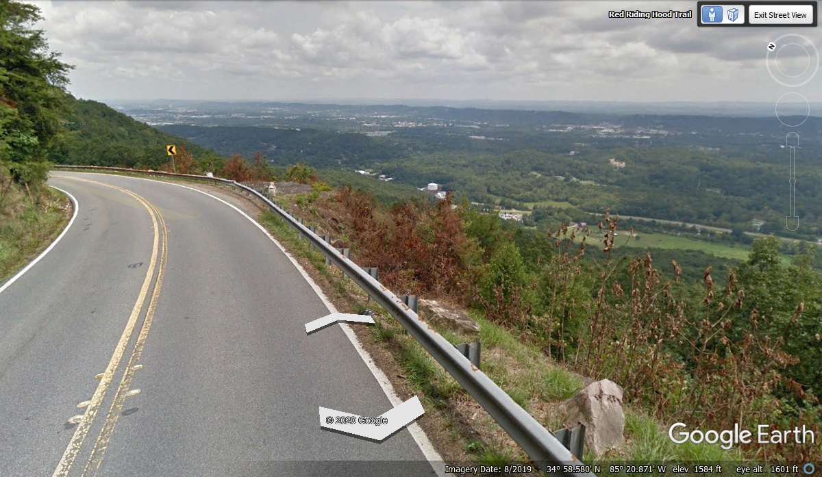
Going straight East from the intersection seen in the image above takes you
through a couple of stop signs and starts down the side of Lookout Mountain in
Georgia heading north with this panoramic view of the valley and mountains to
the East.
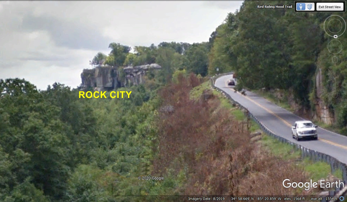
There is a short parking lane on the right side of the road as GA 157
northbound starts down the side of Lookout Mountain. It is very useful to
get photos of part of the Rock City attraction.
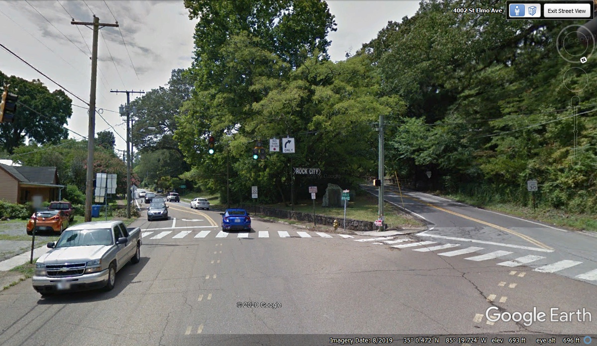
We got to the bottom of the road off Lookout Mountain at 10:48 AM where
Tennessee route 58 meets route 17 that goes south through Saint Elmo, a part of
Chattanooga. When TN 17 gets to the Georgia State line, the route becomes
GA 193 going south to GA highway 2.
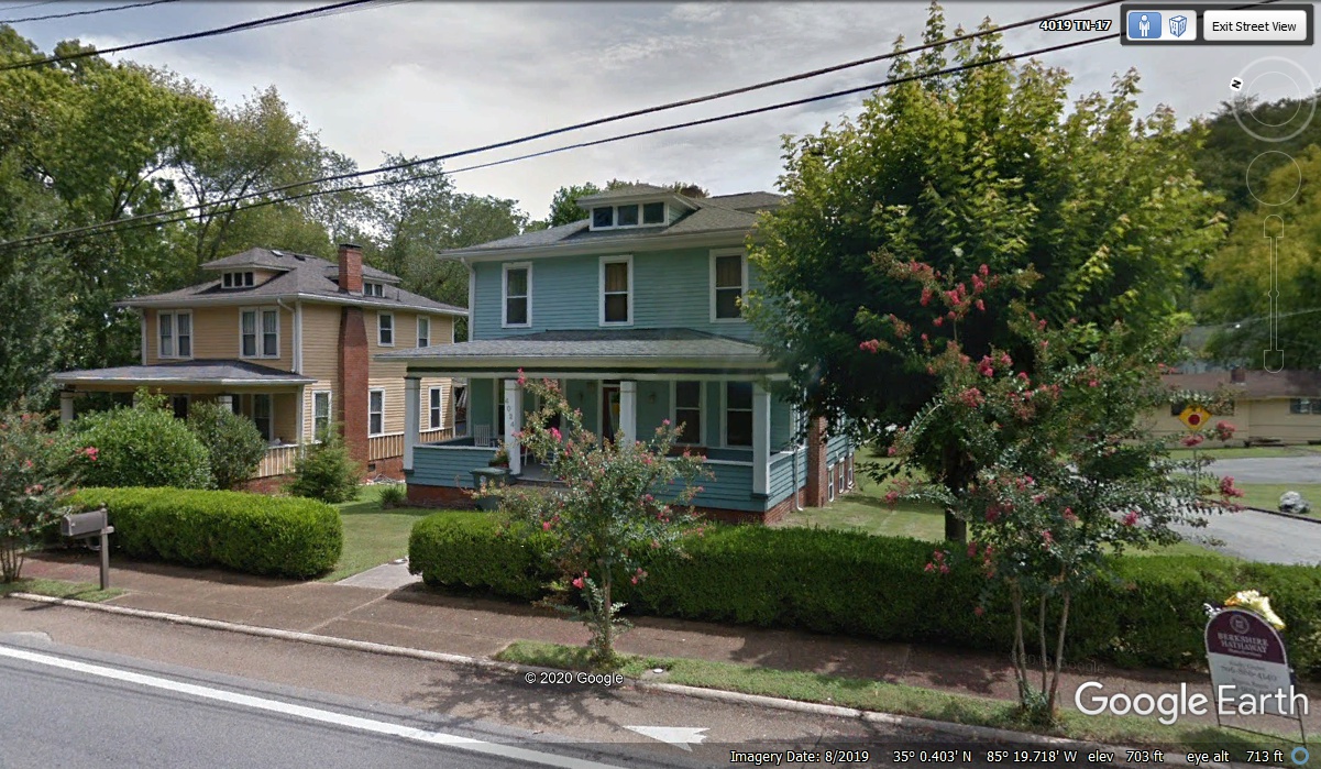
Just one block south of the intersection seen in the image above finds two
similar homes that date back to the early part of the 20th Century. This
blue/green house was built in 1900.
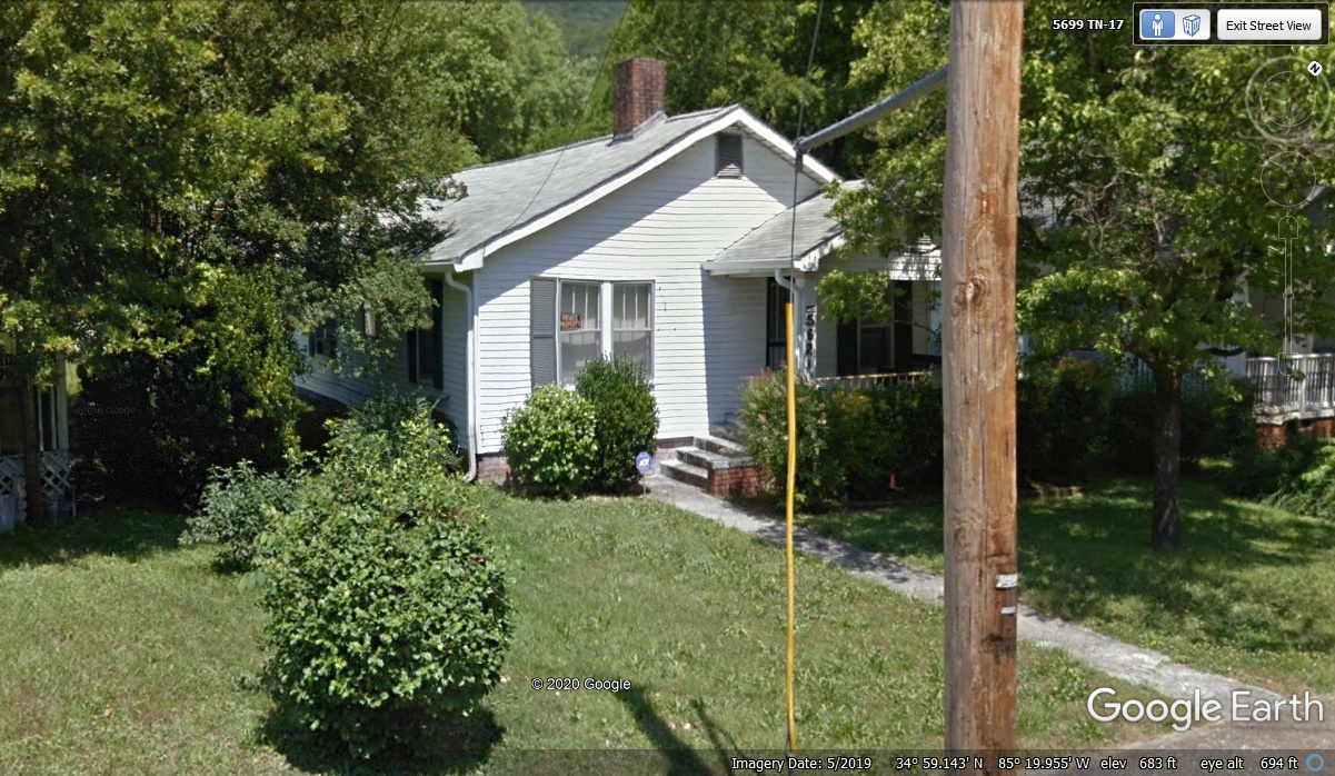
Just one block north of the Georgia state line is this little white house
where my great aunt lived. She was the youngest sister of my grandfather
on my mother's side of the family. My mother was the youngest daughter of
my great aunt's older brother Charlie. My mother was born before my great aunt.
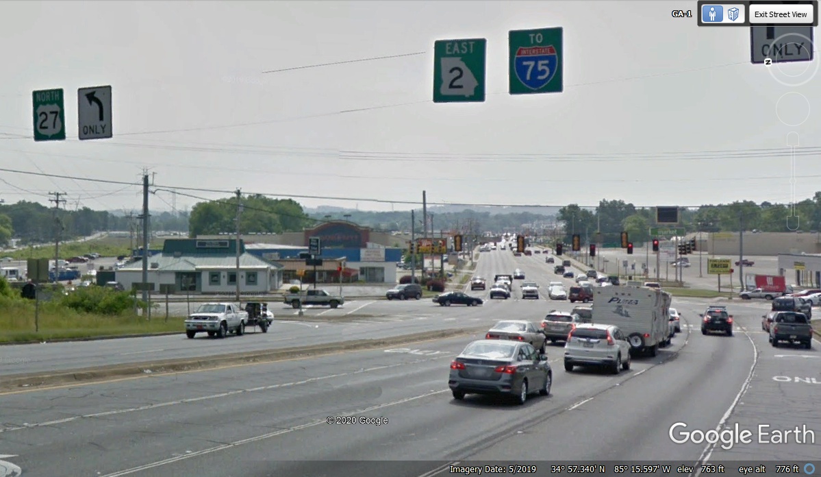
A few miles East on the modern four-lane Georgia Highway 2 brings
us to this intersection where US 27 turns north to Chattanooga. A bypass
of US 27 around the west side of the Chickamauga Battlefield National Park brings US
27 to this intersection. We are turning south on the original US 27 route
south through the National Park. There was at one time a military
installation south of here known as Fort Oglethorpe.
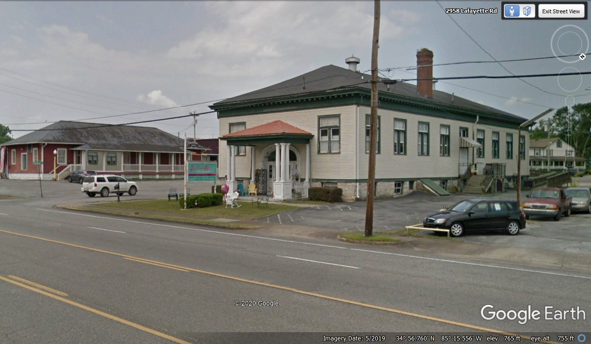
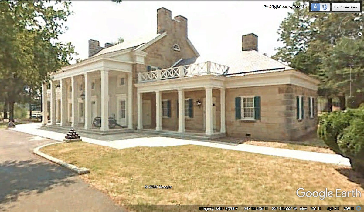
A right turn going south on old US 27 goes through the town of Fort
Oglethorpe, Georgia. The town is named for an old
military base that was built here after it was authorized in 1902 with its
first contingent of officers and men of the 6th Cavalry arriving in 1904. It was an
active military base until after World War II. This is one of the
surviving buildings from the old base that was here.
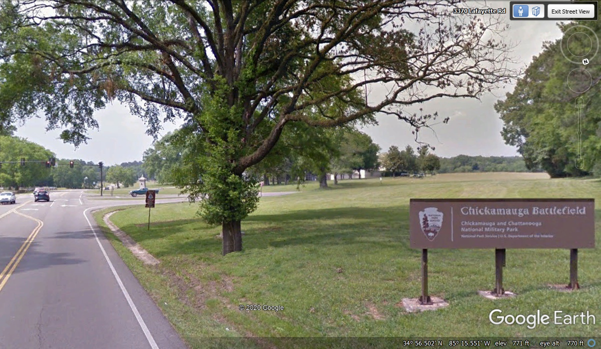
Just south of the city limits of the town of Fort Oglethorpe is the
northern boundary of the Chickamauga Battlefield as seen here. That
intersection was where the original route of Georgia highway 2 came this way
from the LEFT through part of the battlefield from the small town of Ringgold,
Georgia on US 41 southeast from Chattanooga.
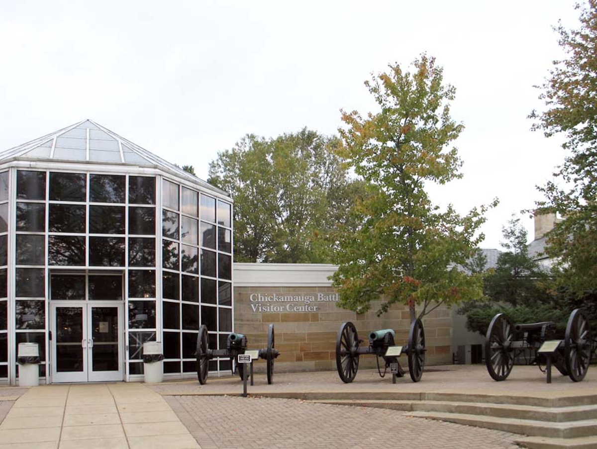
The original Museum is this building just inside the park boundary when
entering the battlefield from the north. This National
Park Service article is a good way to learn about the battle that took place
here. It also provides information about the battles at Lookout
Mountain, Missionary Ridge, and Orchard Knob near Chattanooga, Tennessee.
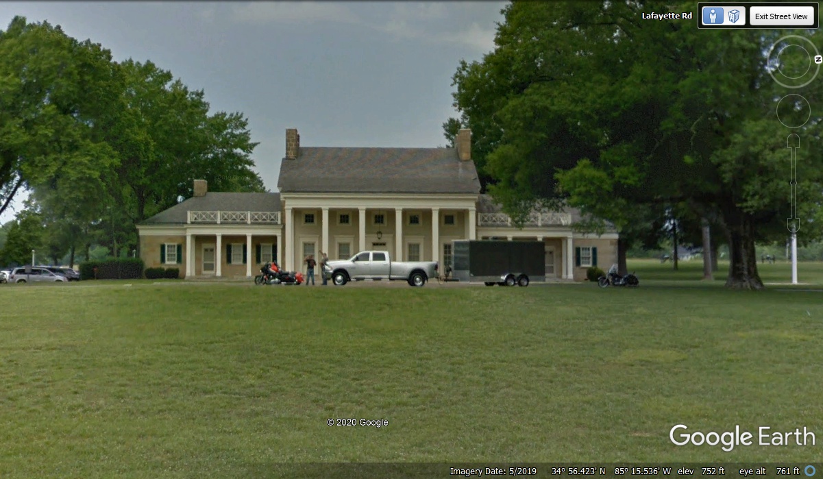
This expansion of the museum behind the building seen in the photo above was built
behind that building and facing south. It does not detract from its the original
building appearance as seen from the old US 27 highway, which is the main artery for
traffic through the battlefield park.
The view of the original park museum and headquarters building has been
preserved. From this vantage point on the highway, the newer building in the
rear is not visible.
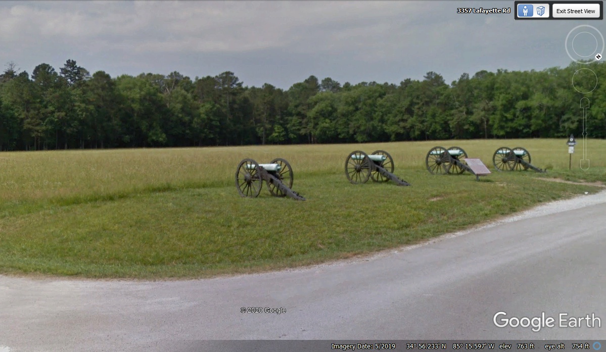
This cannon display just south of the Visitor's Center is easily accessed
from the main road going through the battlefield.
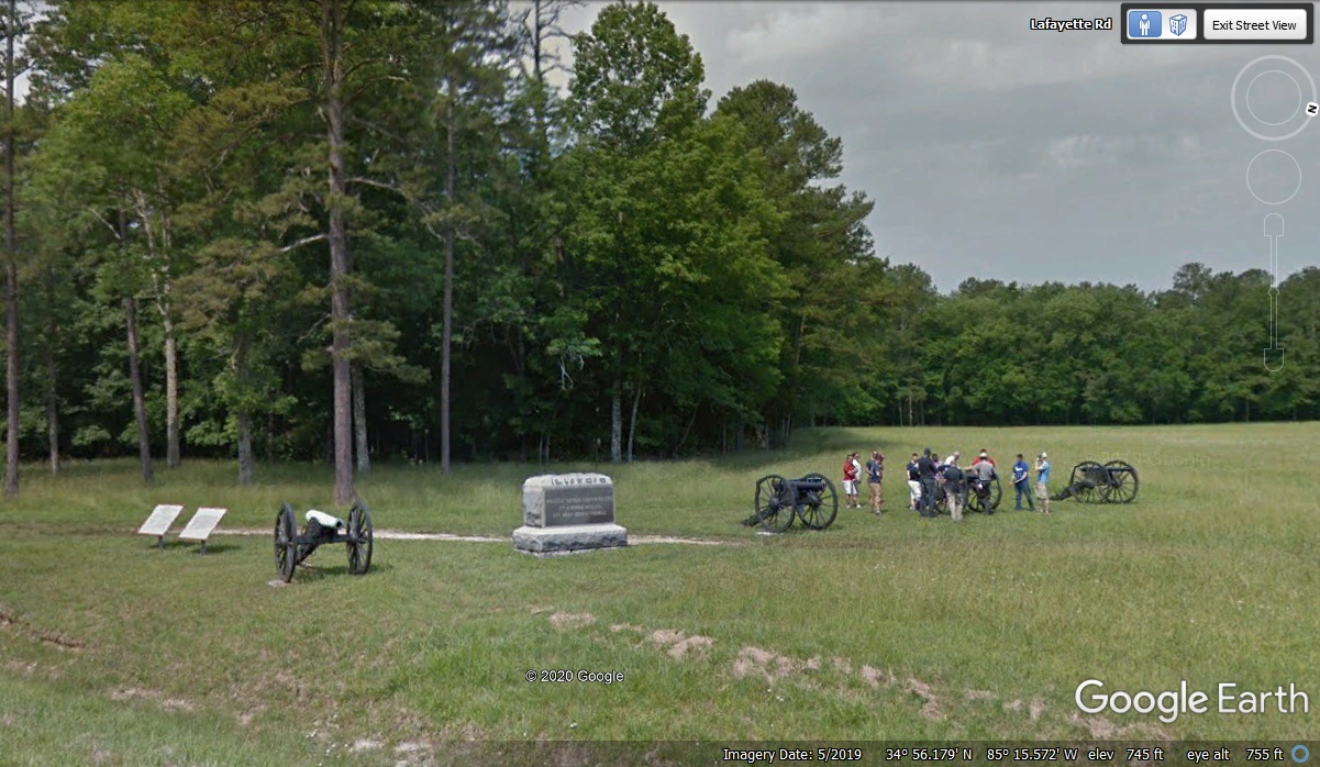
There are some visitors learning about the battle that was fought on this
very spot. One of the things to consider about WHEN this National Park was
created, there were plenty of Civil War veterans to tell their stories of where
they were engaged with the enemy and where they camped when no fighting was taking place.
There are more locations across the park where cannons are placed.
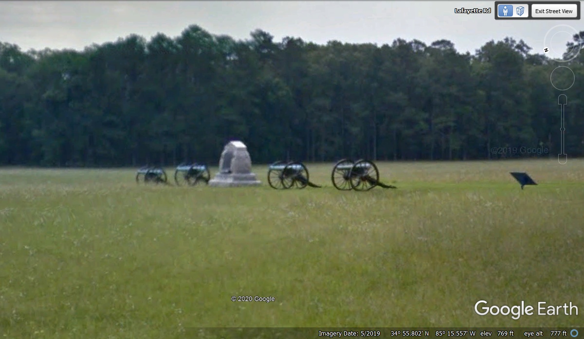
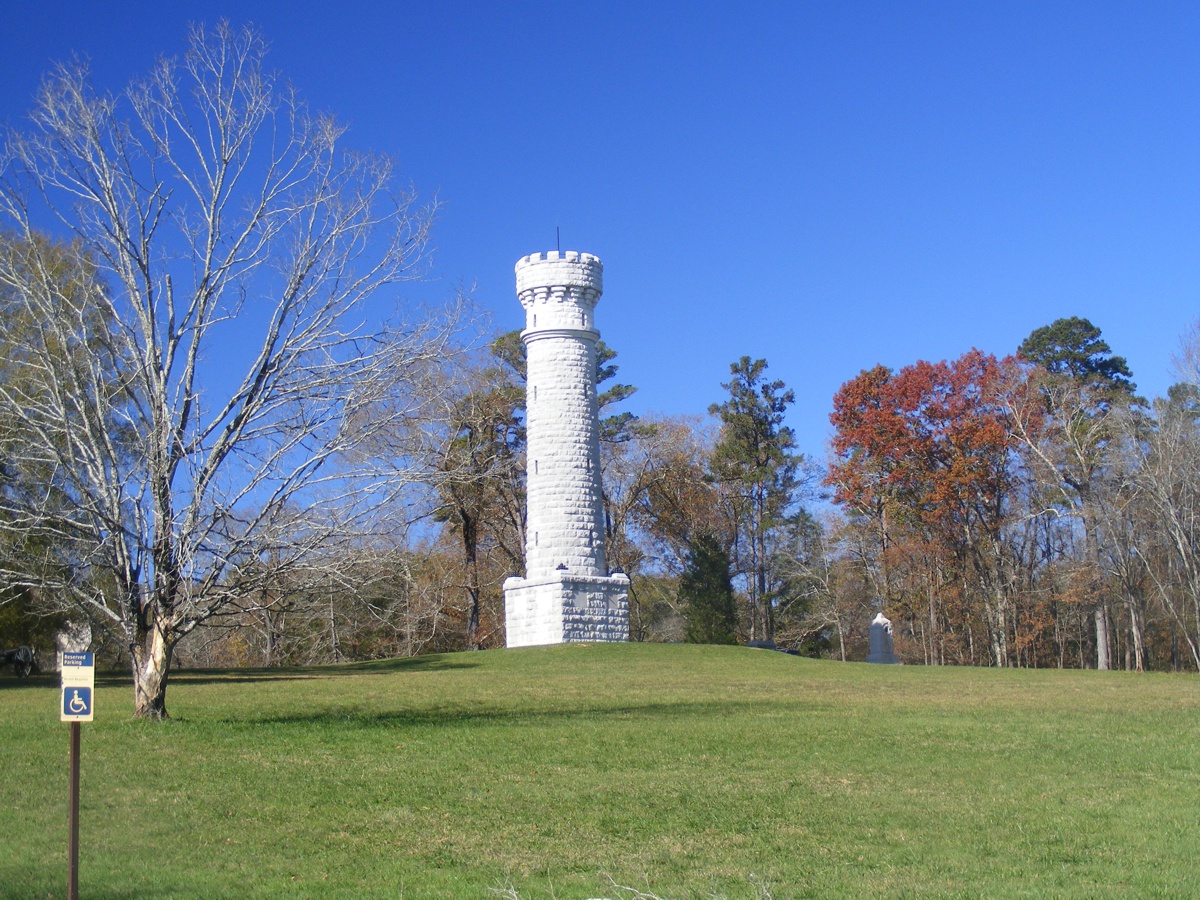
This is the Wilder monument located adjacent to the western boundary of
the park 2.65 miles south of the visitors center via the park access roads.
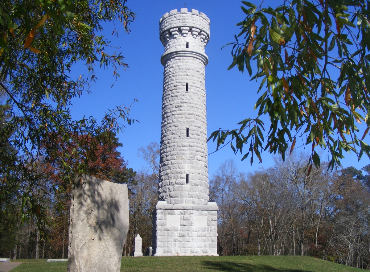
Linda took this photo detail from a different camera angle from my
photos seen below. Having seen the entrance to Point Park on Lookout
Mountain, it would appear the same company built this monument.
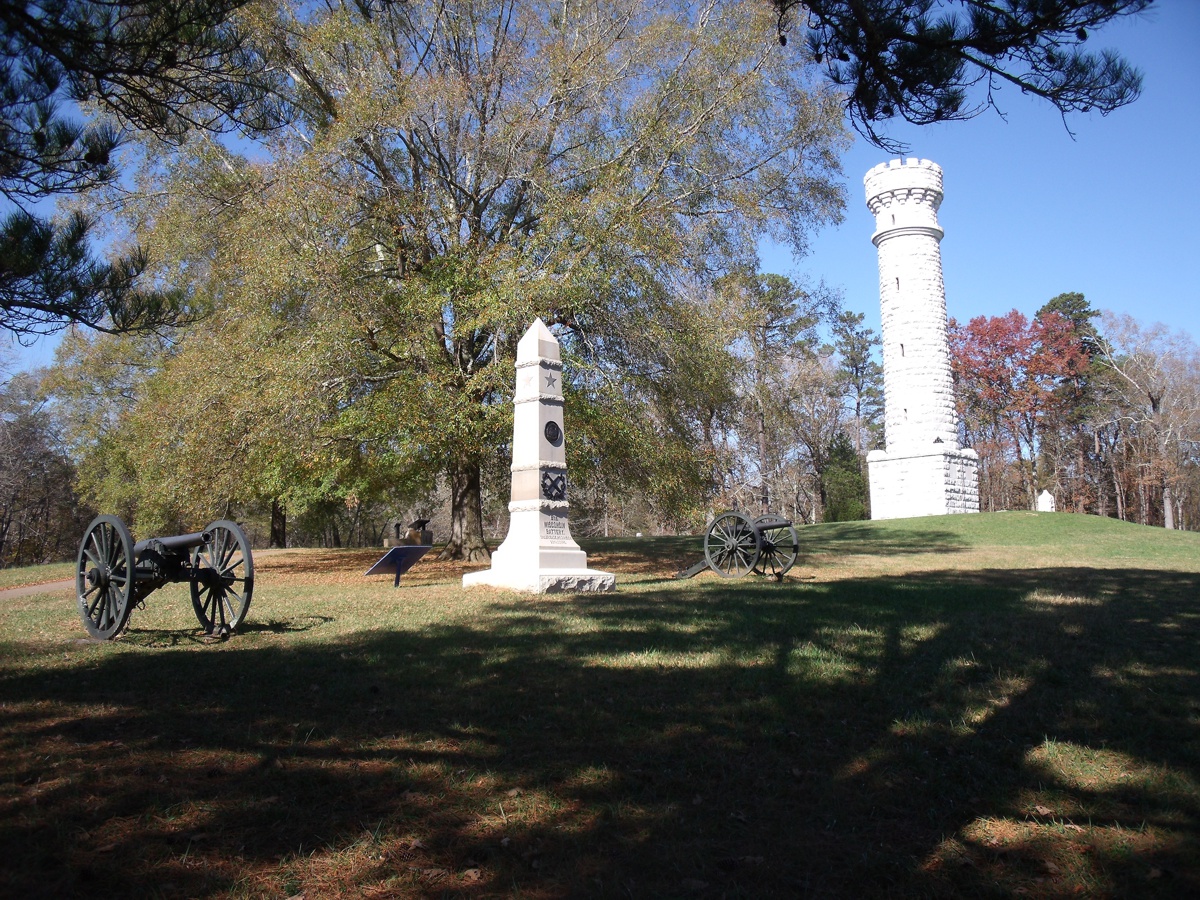
I took these photos of the Wilder Tower with my first one viewed from the
parking area looking northwest.
This view is looking north between some trees.
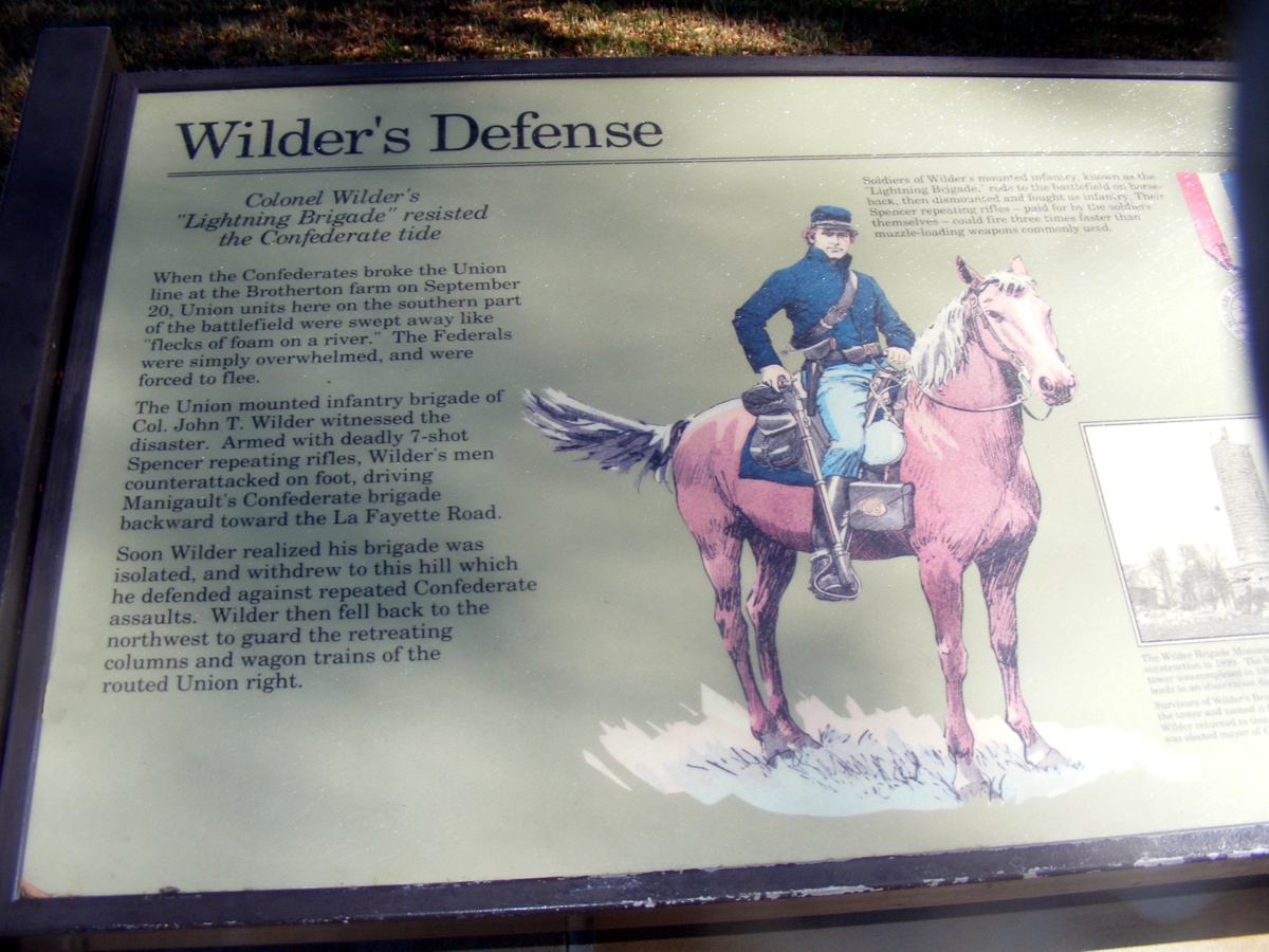
I took two photos of this marker at the Wilder Tower that tell the story
of the battle that took place here.
This is the right side of the same marker.
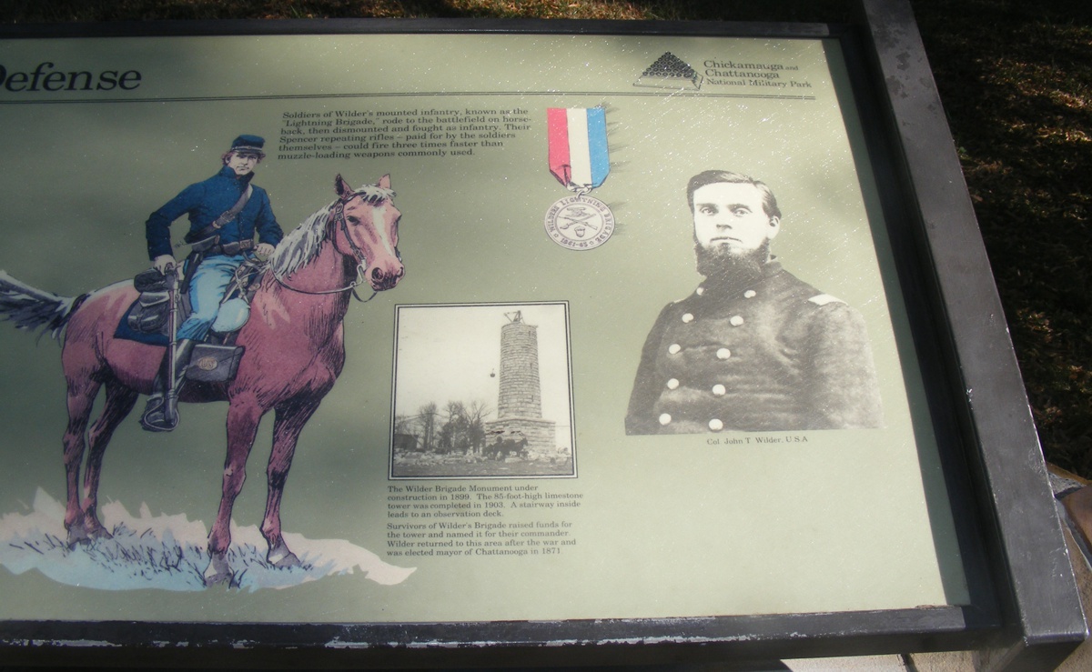
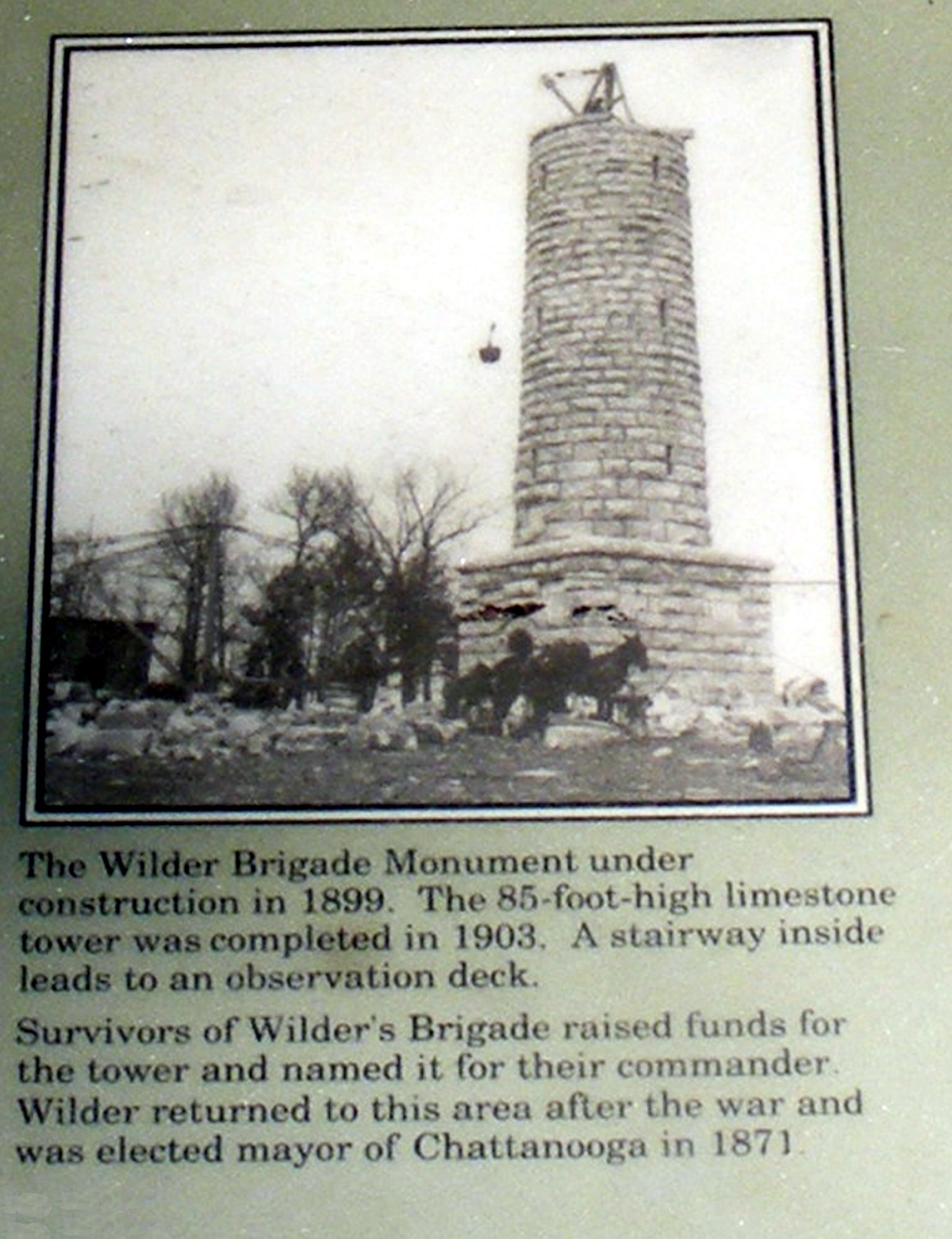
This part of the marker talks about the construction of the monument and
John T. Wilder after the Civil War.
The RED LINE is the 2.65 mile route from the visitor center to the Wilder
Tower monument. The park is well defined by the dark green forest area.

The southern boundary of the Chickamauga Battlefield is well defined by
the commercial business locations on private land. About half a mile south
of this point is where this road ends at the FOUR LANE Junction of US 27 that
has bypassed the park. There are no highway marker signs about US 27 where
you will turn LEFT to go south on US 27 as we did on our visit to the park
today, November 18, 2020.
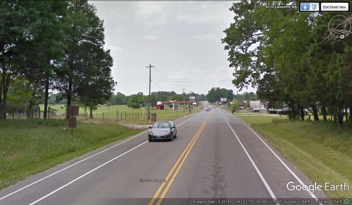
TURN LEFT when you get to this intersection with US 27 just north of the
town of Chickamauga, Georgia. We went past this location at 12:34
PM. We stopped in a McDonald's parking lot half a mile south of here for
about two minutes to consider some alternate routes on my GPS to avoid
Atlanta. I did not program a destination since the GPS wants to use
Interstate highways to get "there" as quickly as possible. This
afternoon is about the rural scenic route and small towns.
| US 27 SOUTHBOUND IN GEORGIA - - PAGE 21. | RETURN TO 2020 VACATION MENU |