SOUTH FROM MARYVILLE, TENNESSEE · · PAGE 15.
November 17, 2020: Tuesday continues
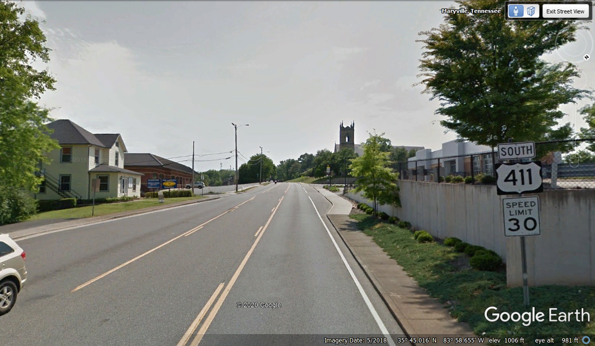
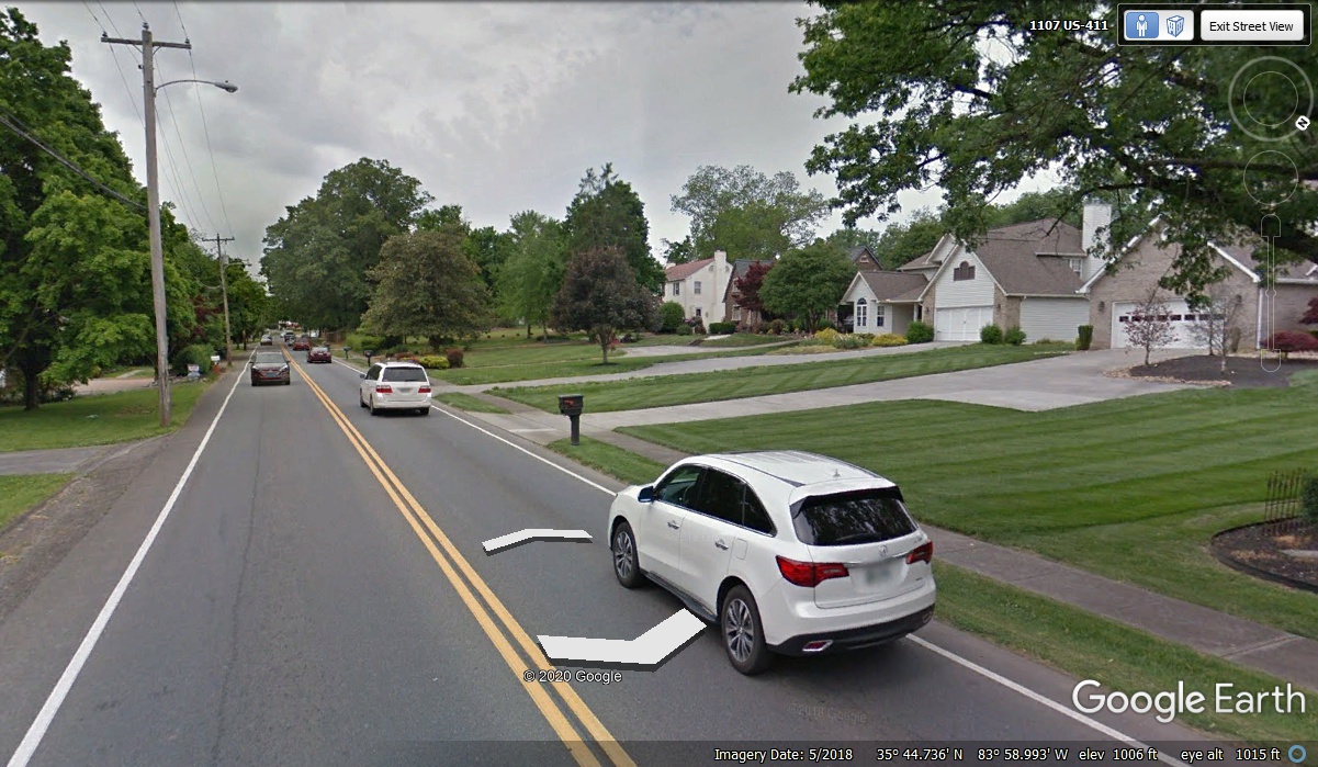
with the trip down US 411 from Maryville, Tennessee. Some of the
classic old homes in Maryville are down the original US 411 route. This
image is taken at the south side of the US 411 truck route that goes over to the
US 129 bypass around the towns of Maryville and Alcoa on the way north to
Knoxville, TN.
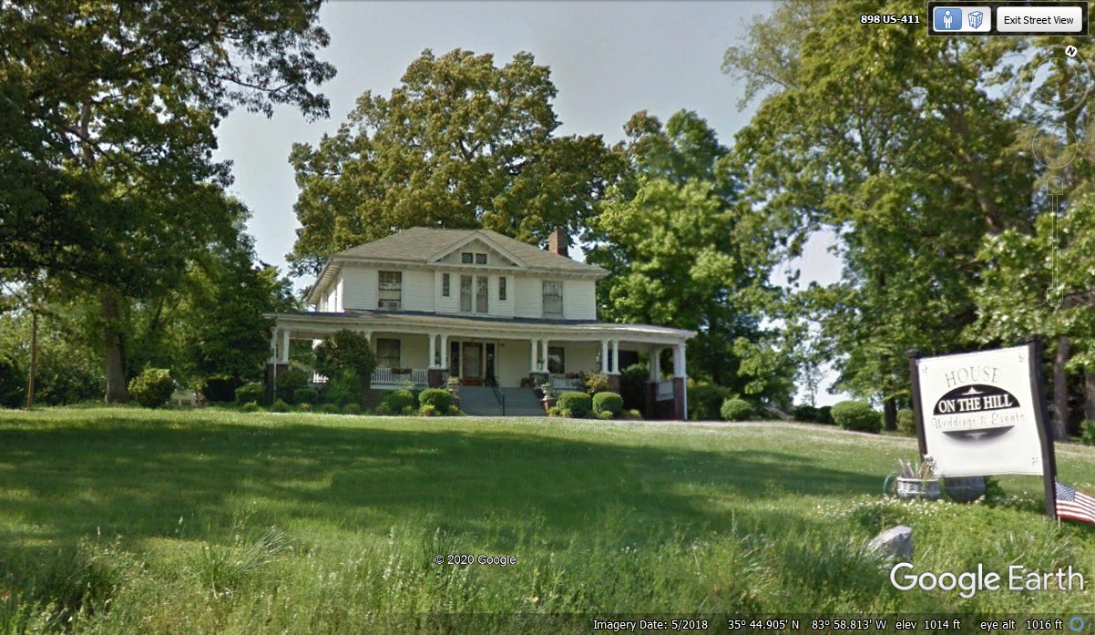
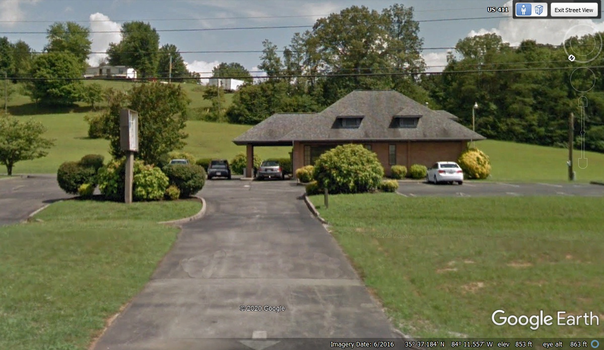
This older "HOUSE ON THE HILL" is available for "Weddings
& Events" and is the third location we have seen today for getting
married. We passed by here at 12:15 PM today.
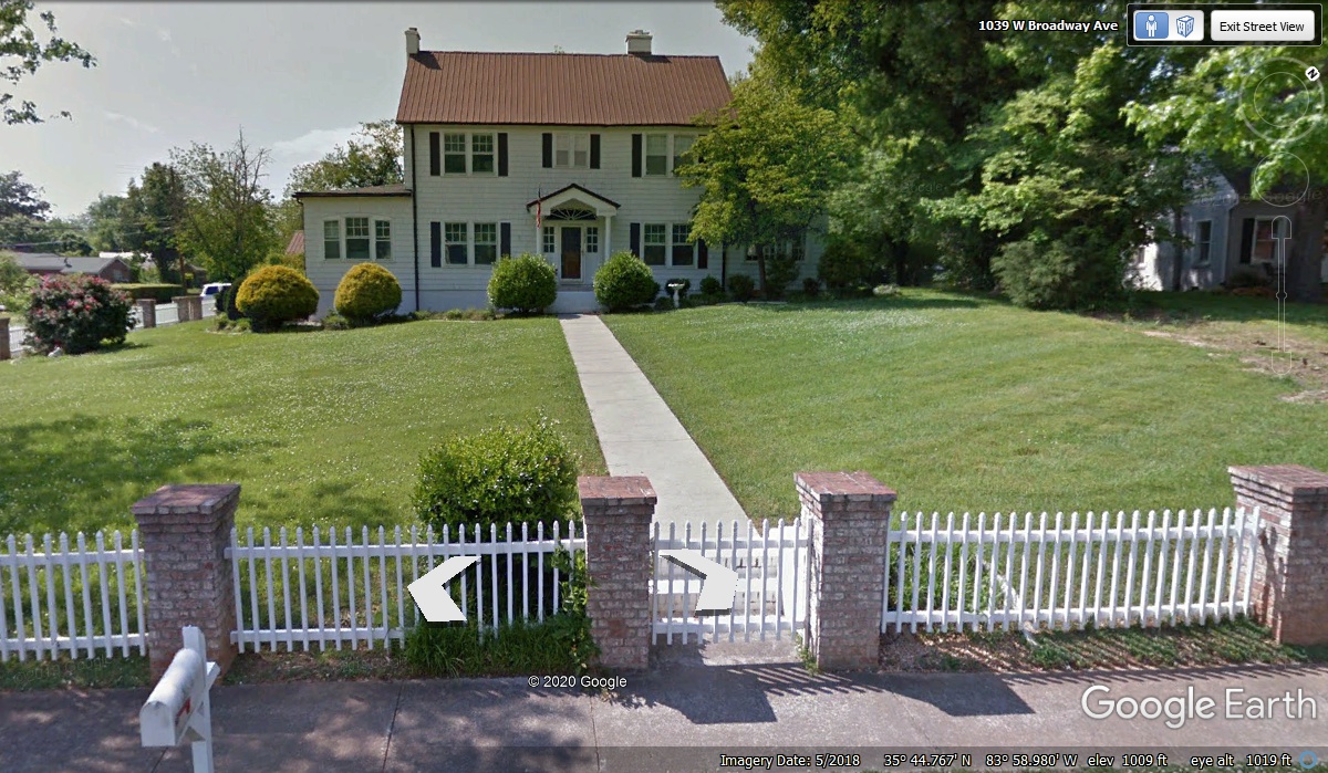
From the house seen in the photo above, obviously being used for
commercial purposes, we find this house further down the street that is still an
elegant home.
There were some older homes that had been re-modeled to become small
business sites. They had pavement over the front yards or by the side of
the houses for customer parking. A number of locations along the way
were purpose-built commercial offices and there was even a funeral home.
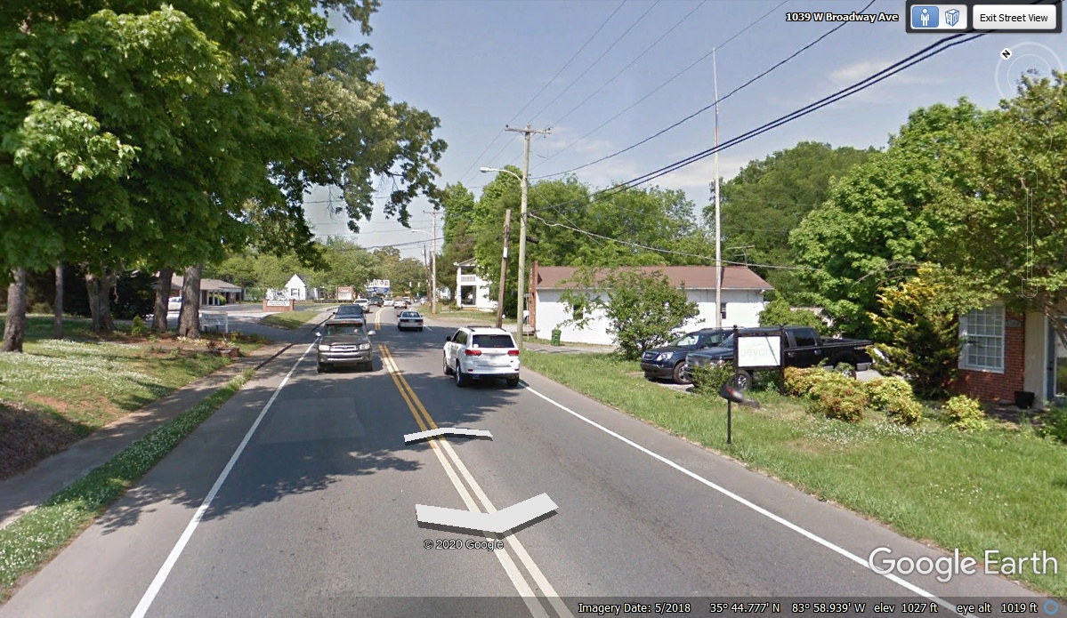
This view looking north from the home seen above confirms that original home
owners had sold out when they got a good offer to move into a newer residential
area.
Looking ahead we see some older homes have been replaced by modern homes with the
extra concrete in the front yard used as a turn-around for family cars backing
out of their garage.
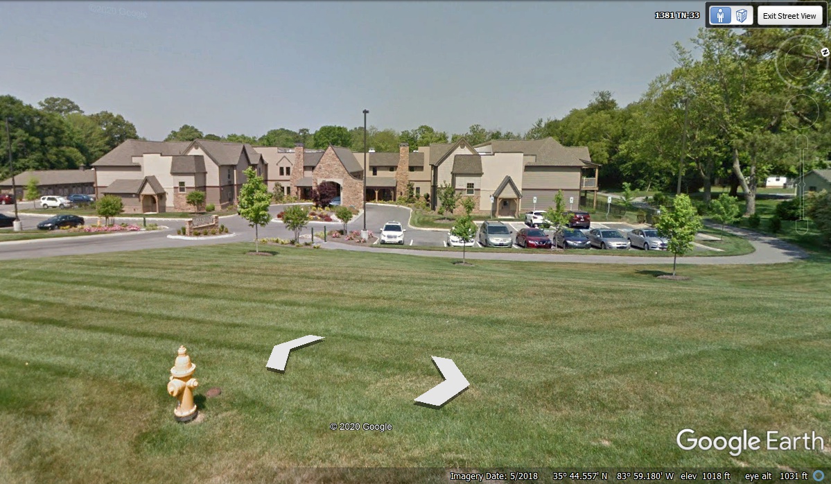
These condominiums on the west side of the street are located near the
intersection of US 411 and the truck bypass with US 129 also going south from
Maryville, Tennessee.
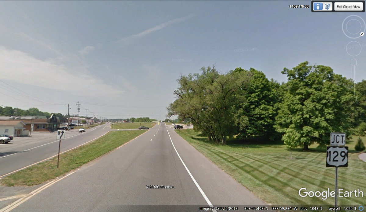
The conversion to a four-lane major US highway will be completed up ahead
at the junction of US 411 and US 129 at the south end of the bypass.
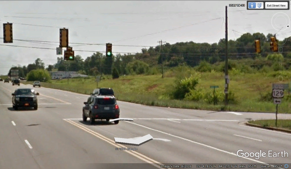
About four miles south of the junction where US 411 and US 129 converged,
US 129 heads into the mountains to the East going to Fontana, North Carolina 32
miles from here. At 61 winding miles from here, US 129 joins up with US 19 to
continue south into Georgia. US 411 continues south from this intersection
to Georgia staying in this valley all the way with no mountains in this route.
Another 7.4 miles south of the US 129 junction seen in the image above is
this former branch bank building that was used by Tom Olson as a research lab to
do product development for Olson Technology, Inc. I would stop by this
location any time I have a business trip up north. I was on one of those
trips in June 2016 with two stops in Ohio that would take me over
to Pennsylvania and other points in the Eastern states along the I-95 corridor
before heading back home to Florida. I checked my expense reports from June 2016 and
found I had a black Cadillac GTS upgrade as my Avis rental car for two weeks on
that itinerary. I would usually park where that white car is located, but
I was not there the day the Google Earth camera vehicle passed this way.
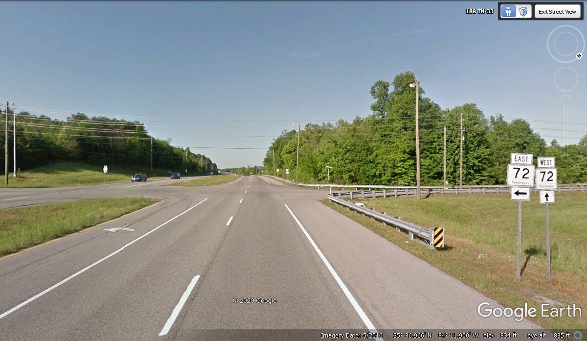
Tennessee Route 72 turns East just half a mile south of the location seen
above. Tom Olson had a house about 2.3 miles East from US 411 via route 72.
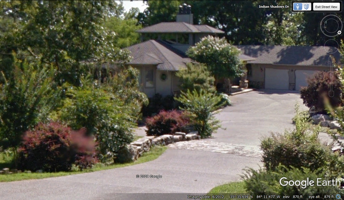
November 17, 2020: It was 12:43 PM when
we drove past this house Tom owned for a number of years. I have visited
him here on several occasions. The house has three levels with the one on
top as an enclosed room for viewing the Little Tennessee River that is behind
the house. There is an elevator that goes to all three levels as well as
stairs from the front door ground level down to the lower level. This image shows
only TWO of the THREE garage doors on the ground level on the right side of this
image. There is a hidden
driveway extension hidden by shrubbery at the center of this image that goes down
and to the left a bit to a large garage
for a diesel pusher motor home. There is also a guest room connected to that
large separate garage used for the motor home storage. Tom and Sue drove
that motor home to Denver, Colorado in June 2006 for a national trade show
convention I attended using my airplane to get from north Georgia to Colorado in
one day. The motor home has been used for several cross-country trips from here in
Tennessee to their primary home located near Sierra Village, California.
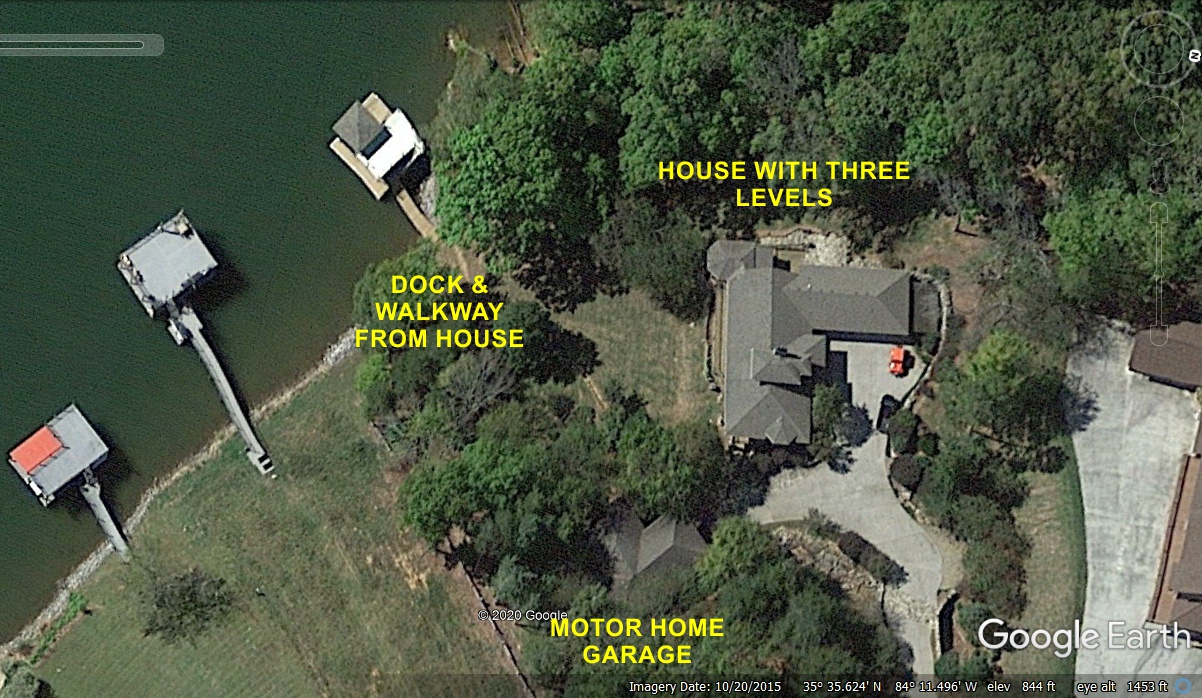
This Google Earth view from above shows all of the property with access to
the Little Tennessee River that joins with the Tennessee River at the Loudon Dam
near Lenoir City, TN. The dock is accessible from the balcony on the lower
floor of the house. The main floor of the house also has a balcony with a
good view of the river.
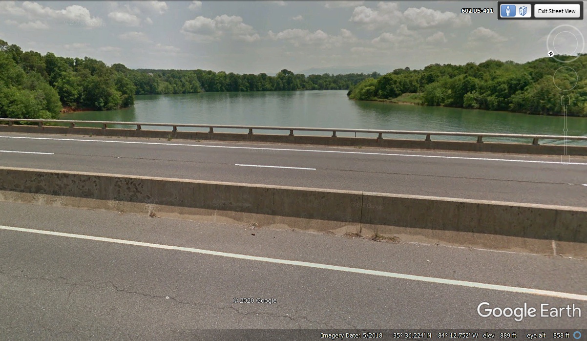
When we crossed the Little Tennessee River going South on US 411, there was no sign on
the bridge to give the name of the river. This view from that bridge
looking East shows the faint image of the Smoky Mountains above the bend in the
river. Those peaks are over 30 miles away from this highway bridge.
That haze seen on the horizon is the reason they call them the "Great Smoky
Mountains".
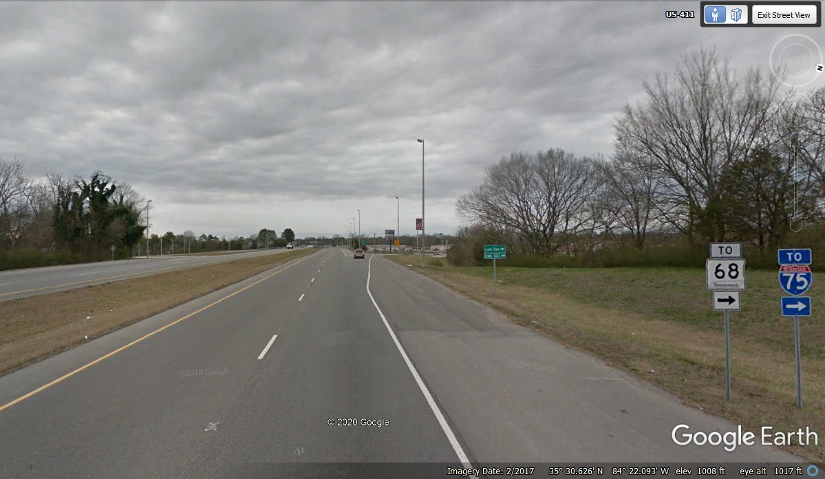
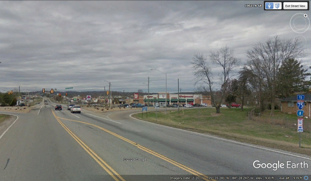
South of Madisonville, Tennessee is state route 68 that goes over to
Interstate 75 for quick access down to Chattanooga and beyond. I have been this way many times since I first went to work for Tom Olson in January
2006. I was living in East Ridge, Tennessee at that time.
Tennessee state highway 68 westbound from US 411 winds around a couple of
turns then goes straight across this small valley by going down about 100 feet
then climbing up the ridge on the other side about 200 feet. This
highway is well maintained and good for all types of vehicles. Route 68
has it's South end at Copper Hill, Tennessee at the Georgia State line at the
town of McCaysville, GA. The northern end of route 68 is up on the
Cumberland Plateau when it meets US 127 a few miles south of the town of
Crossville, TN for a length of 107 miles.

At the top of the next ridge is the entrance to "THE LOST SEA"
which is a tourist attraction in a cave with a small underground lake. I turned right at the
sign and drove up to the parking lot. We arrived at 1:12 PM with a reading
from my GPS of 1,224 feet above sea level in the parking lot. 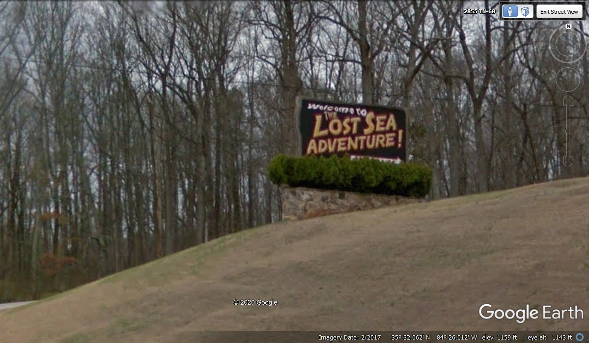
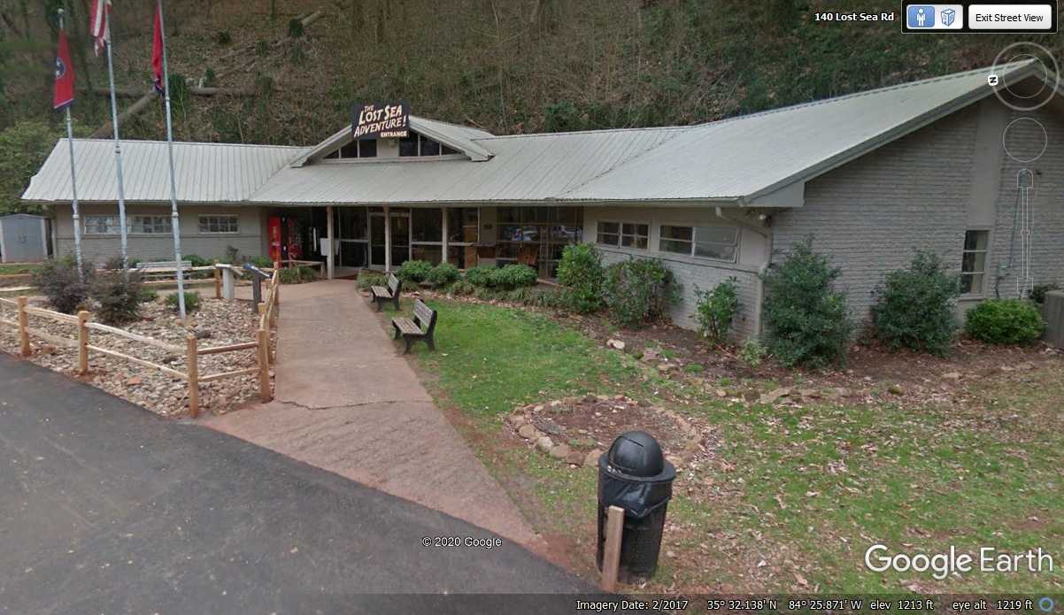
With Linda's dog Chase
along with us on this vacation, I first had to go inside the office at the entrance to
the cave and ask the most important question: "Are pets
permitted?" The answer was of course "NO!" I added
the exclamation point. The two ladies there were very nice. I asked
one more question from the last time I went into the cave back in the 1980's
about the water level in the cave. "Is the water level related to the
level of the Tennessee River?" The answer was simple, the water table
in the area is the source of the water in the cave, and it is always about too
much rain or a long dry spell. Mystery solved. I went back to the
car to share information with Linda. The image below shows the elevation
at 1,213 above sea level. The GPS I have can get the latitude and
longitude very close to actual co-ordinates, but elevation can be off by plus or
minus 10 feet. We got back on
the road heading toward Chattanooga at 1:26 PM.
Down the West side of the ridge we were at 930 feet above sea level when we got to this
intersection of US 11 seen below and kept going to I-75 on the other side of the next
ridge.
We got on I-75 at exit number 60 during our 2019 vacation after bypassing a traffic
accident that stopped south bound traffic after exit 62 located just north of
this exit. My GPS showed some country roads past the KOA campground
just west of I-75 to get around the traffic jam. On that day we were
coming from the west on route 68 to get here.
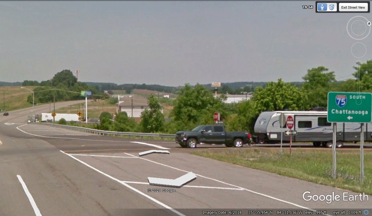
Like so many other parts of I-75, the next 60 miles are very familiar to
me. We got on Southbound I-75 at exit 60 at 1:47 PM thinking about lunch.
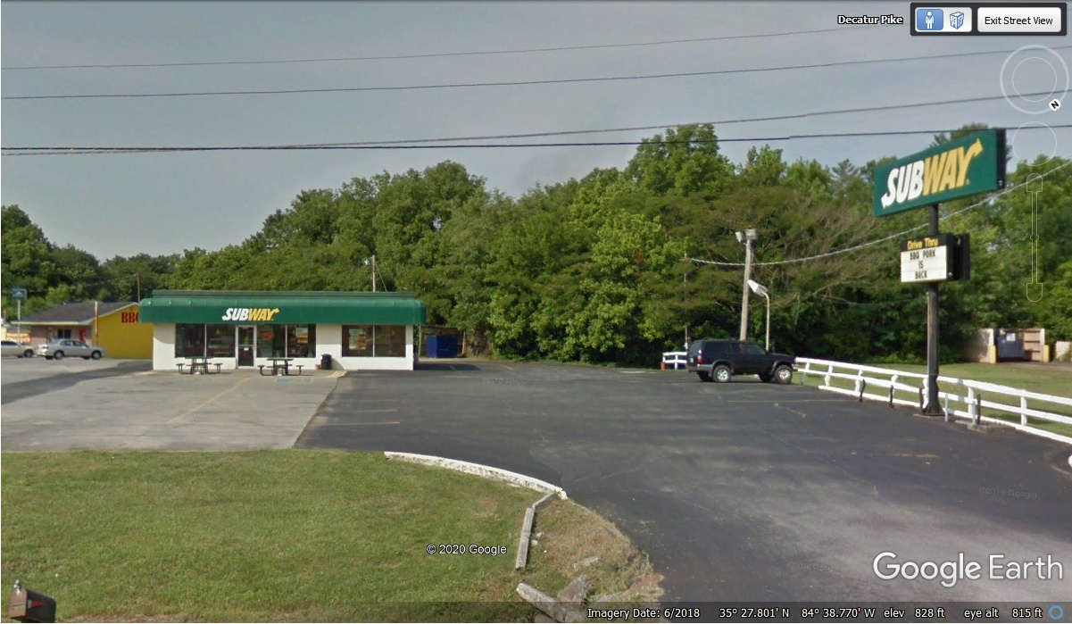
We got off the highway at exit 30 near Athens, Tennessee at 2:07 PM and went to
a Subway sandwich shop to get something to eat. I walked Chase around the
parking lot to all the areas with grass while Linda went in to get me a
foot-long sub and a salad for her. I ate half of my sub and put the other
half in the cooler bag for later. Linda ate her salad. We got on the
interstate at 2:50 PM and headed south toward Chattanooga, Tennessee.
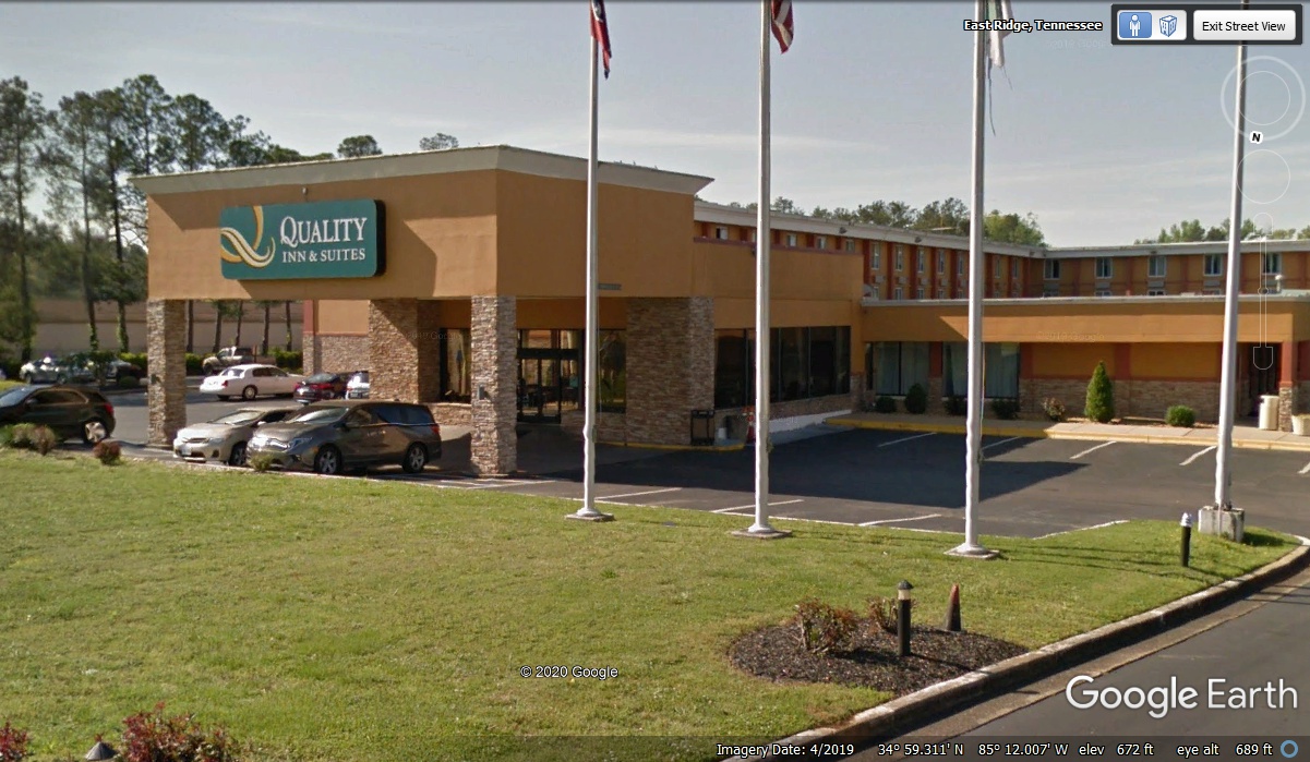
We got off at Exit 1 to East Ridge, Tennessee to get a motel where I have
stayed in the past. This is the same exit where I lived when I built my
airplane from October 2002 to May 2005 less than two miles from this
hotel. We checked in at 3:42 PM to get settled before getting a real
dinner from Chili's like we do back home.
The nearest Chili's was over on Brainerd Road which is US 64. Our
hotel is on US 41 near the state line. I placed our usual two for $25 dinner
order online and drove over to their location to the TO GO parking space by that
door on the side of the building. I was on my way back in just a few
minutes knowing I would need a better route back to the hotel to keep everything
hot and fresh.
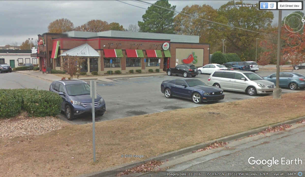
This Google Earth view looking down shows my RED route going over to
Chili's via Spring Lake Road from US 41 to US 64. When I went that route
going to Chili's the south end of Spring Lake Road was backed up with a traffic
jam trying to get on US 41. When I started back to the Hotel, I went a few
blocks further west to McBrien Road that was free of traffic going south to US
41 from US 64. I crossed over Interstate 24 going in both directions where
the traffic lights were generous. The distance from the hotel to Chili's
via the RED LINE is about 2.8 miles. The RETURN distance via the GREEN
LINE was 4.0 miles. The time saved by avoiding the traffic jam made up for
the extra mileage.

It was a good night with our usual meals. I took all the freezer water bottles from the cooler bag and put them into the freezer in the hotel room to be sure they would be ready the next morning. All but one of the water bottles were frozen solid. That half of my Subway foot-long sandwich was my breakfast the next morning before we left the hotel.
January 1, 2021: Here is a treat for my sister from our childhood years of the 1950's going to see our Grandmother. We would stop at this hillside spring on OLD Georgia route 2. To see this for yourself using the search box of Google Earth: Enter the address "2704 Boynton Drive, Ringgold, GA" without the quote marks and Google will put you on the road that is at the bottom of this screen capture I made from Google Earth. You may have to click on the white arrows in Google Earth to move along the road a few feet one way or the other to see the image as I have captured it below.
I have enhanced the contrast and brightness of this image of the spring to
show the rocks that are placed around the spring. The wooden board that is
between the pavement and the other side of the creek that begins here makes it
easy to get over to the water source to fill water jugs.
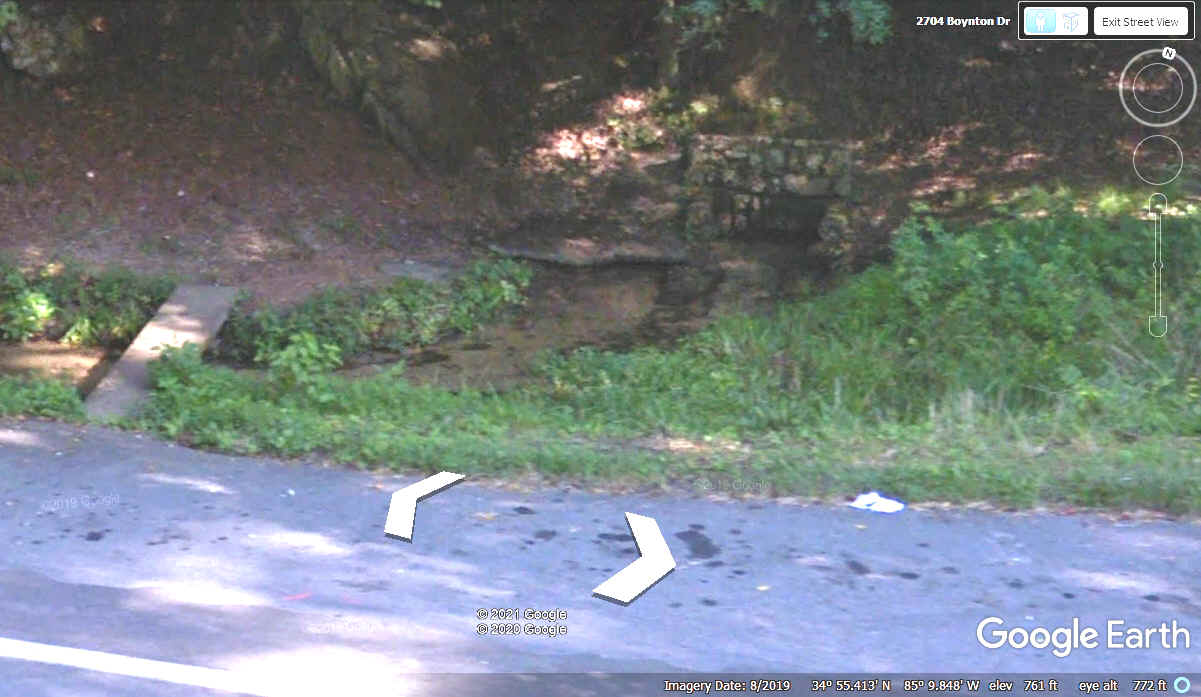
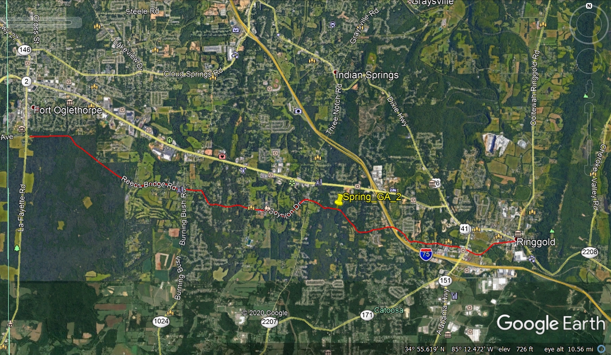
I have also highlighted the OLD Georgia route 2 with a RED LINE from
Ringgold, GA to the Chickamauga Battlefield. The yellow push pin is the
spring location.
| TOURING CHATTANOOGA, TENNESSEE - - PAGE 16. | RETURN TO 2020 VACATION MENU |