December in Florida · · PAGE 429.
December 23, 2017: "T'was the
Saturday before Christmas", enough of that poem stuff. I had good weather
here in the Melbourne Area, as in VFR with some clouds to avoid above the
thermal layer at 3,000 feet. Typical for Florida. The flight was
mostly south over the Melbourne Airport with a full stop landing at Valkaria,
then a return up over Rockledge, a touch and go at the Merritt Island Airport
before returning to the Rockledge Airport.
I noticed this UFO cloud west of KMLB as I was climbing up to fly over the MLB
VOR. As I neared the airport above the Class D airspace, I was listening
to the tower talking to a departing Delta Airlines flight that had taken off to
the East. He was giving the airliner an advisory about me while the
airliner was just off the beach in a climbing left turn a good 5 miles from my
location over the VOR. I checked in with the tower to confirm I was the
VFR target on radar and that I have the Delta aircraft in sight as I was heading
south toward Valkaria.
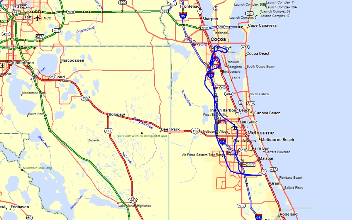
Here is my flight path over the Melbourne airport going south to Valkaria
(X59) landing on runway 10 from
the west before a take off back to the west on runway 28 as there was no other traffic in the
pattern and the winds were light. I passed the Melbourne airport on the
west side, heading north at 2,200 feet and clear of the Class D airspace.
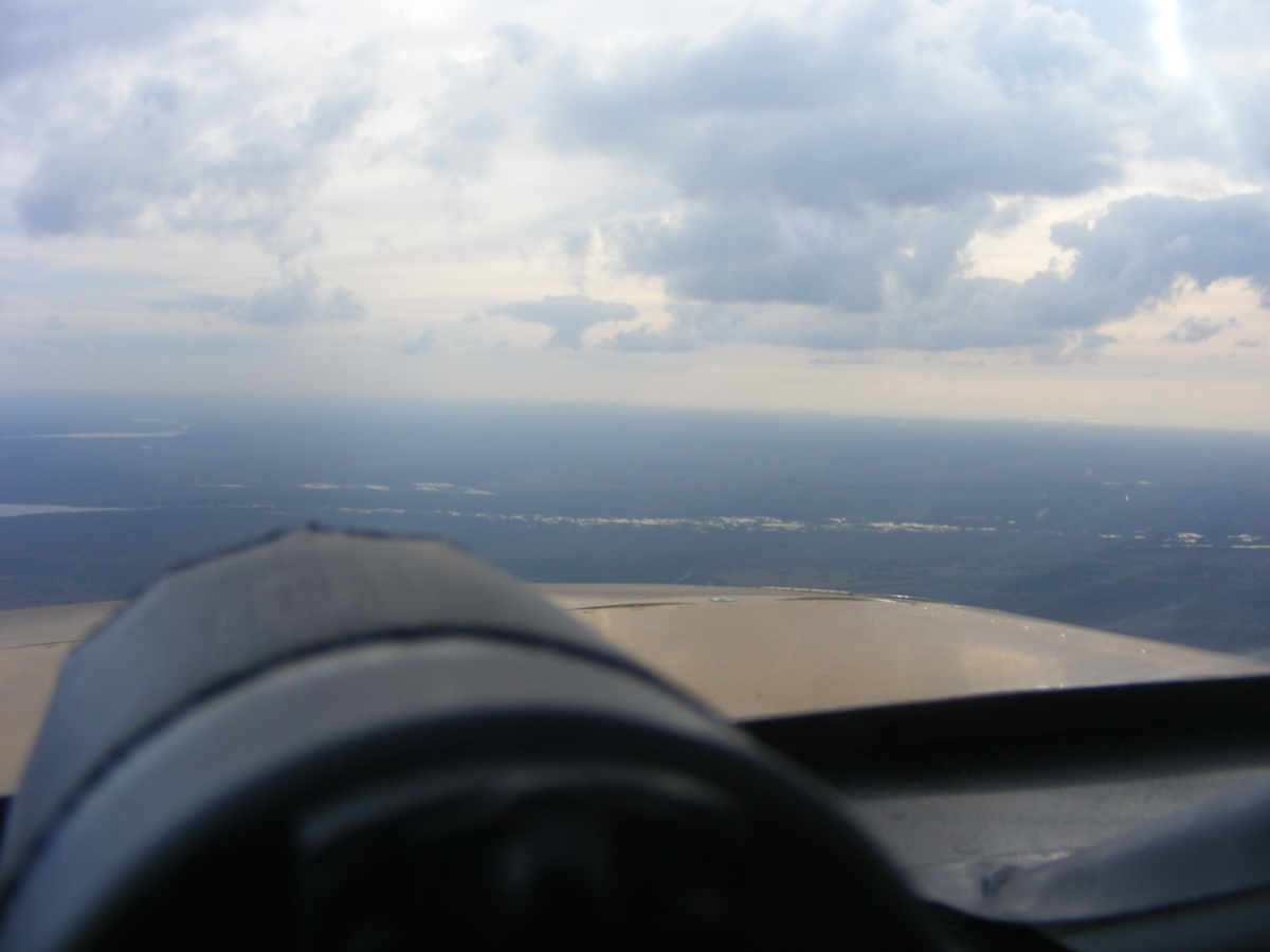
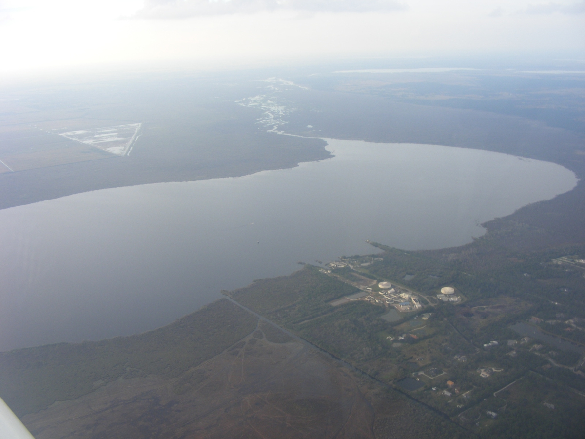
Here is the view looking north with Lake Washington west of my path as I
fly parallel to Interstate 95 avoiding the Class D for Patrick Air Force Base
north of Melbourne on the barrier island with the Atlantic Ocean.
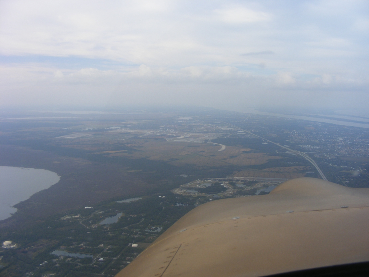
I took this second photo of Lake Washington before starting my descent
toward Rockledge. It is the first major lake as the Saint John's River
begins its winding path north toward Jacksonville and Mayport, Florida where it
ends at the
Atlantic Ocean. The autopilot was keeping me on course as I took this
photo.
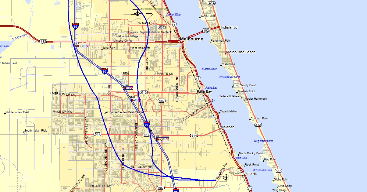
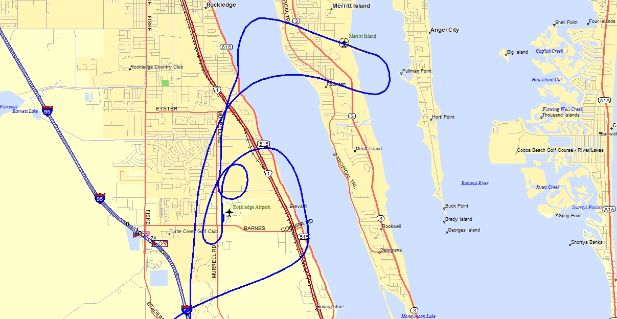
Here is my GPS ground track for the departure southbound at the beginning
of the flight and the return that passed just west of the field before I turned
to enter the pattern at the Merritt Island Airport (KCOI)
for a touch and go on runway 29. When I returned to the Rockledge Airport,
Bill had brought out one of the Aventura II amphibians and was taxiing on the
runway preparing for a short flight. I broke off the approach to runway 18
with a circle to land maneuver before going to the south end of the runway to
land on 36 toward the north.
The Hobbs meter added 0.8 hours today for a total of 410.4 hours since new for Enterprise.
December 31, 2017: One more flight
today to end the year in bright BLUE skies as I left home heading for the
airport. I checked the oil in my airplane engine and put in one quart to
bring the level up to FIVE quarts. Any more than that oil level can be
blown out the oil vent. The oil pressure has been fine on the last couple
of flights. My variable pitch prop is controlled by oil pressure from the
prop governor via the BLUE KNOB on the instrument panel. These clouds were off shore as I head north while I am passing
over Interstate 95 with my camera pointing East.
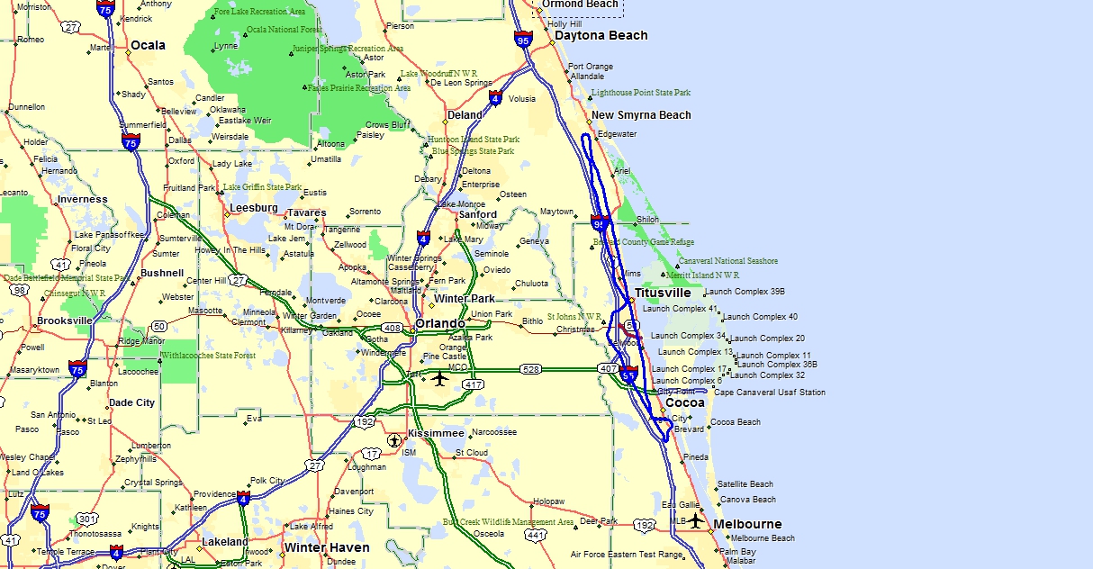
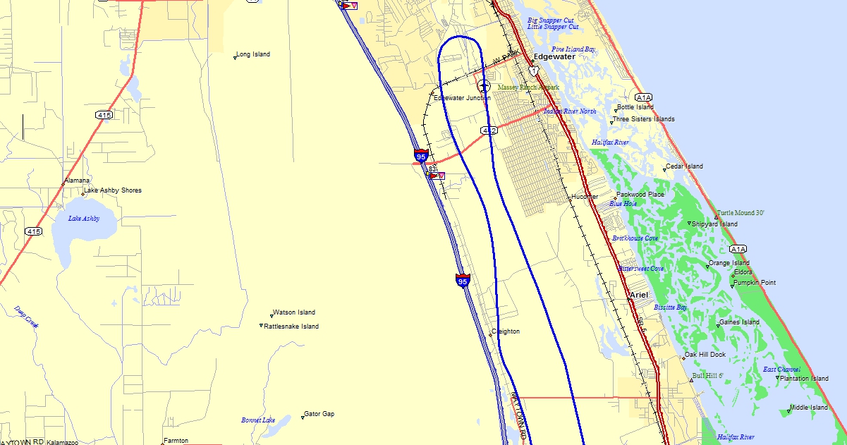
Here is the flight path today North to Massey Ranch Airpark with a touch
and go then heading back south to Arthur Dunn Airpark for a full stop landing,
then back to the Rockledge Airport.
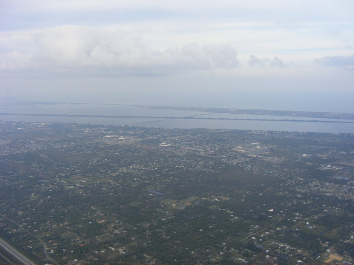
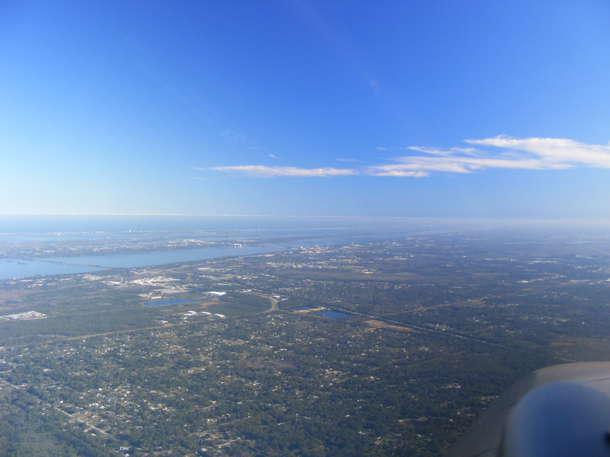
The path from the Indian River Lagoon to the Halifax River for the
Intracoastal Waterway is getting boat traffic as I fly north above the mainland.
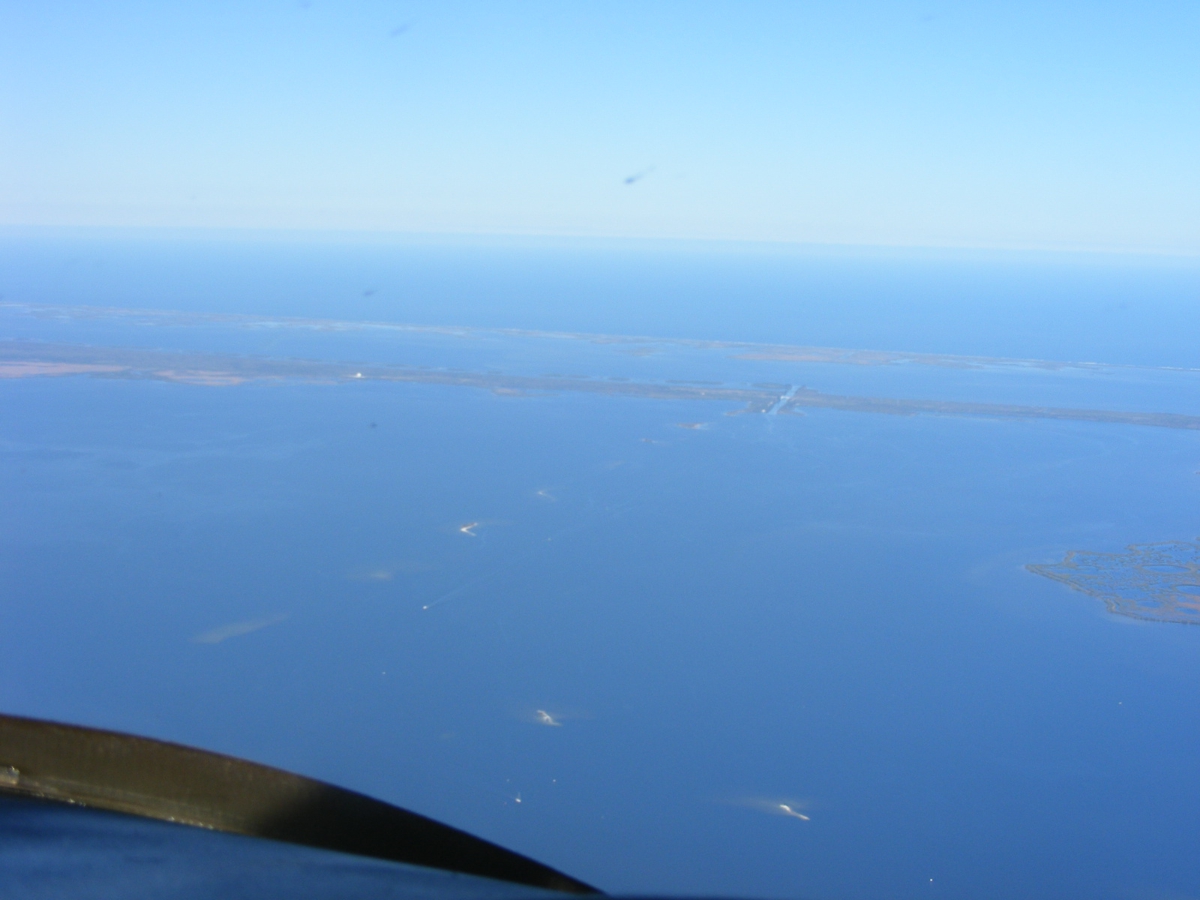
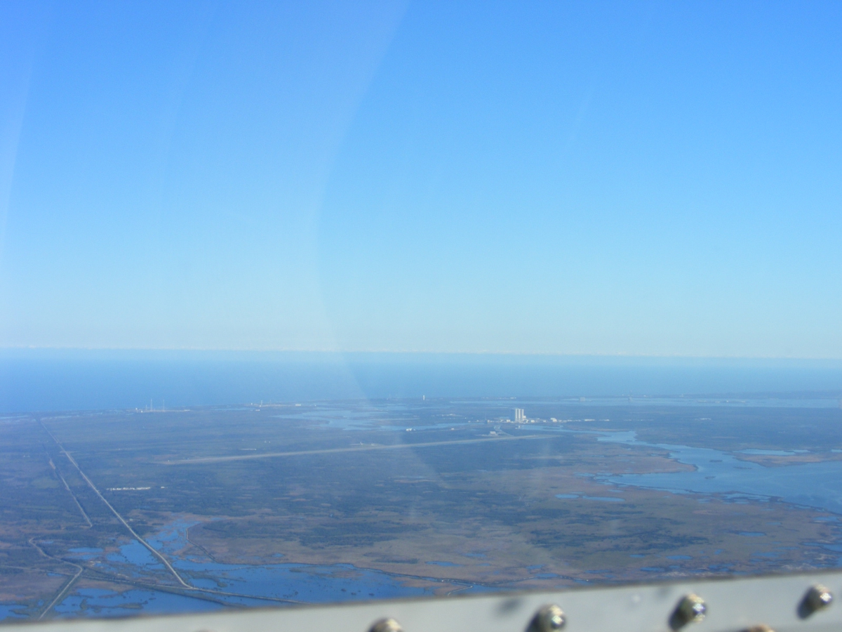
I pointed by camera back toward the Shuttle Landing Strip and got lucky
with this photo.
This is my path in and out of the Massey Ranch Airpark.
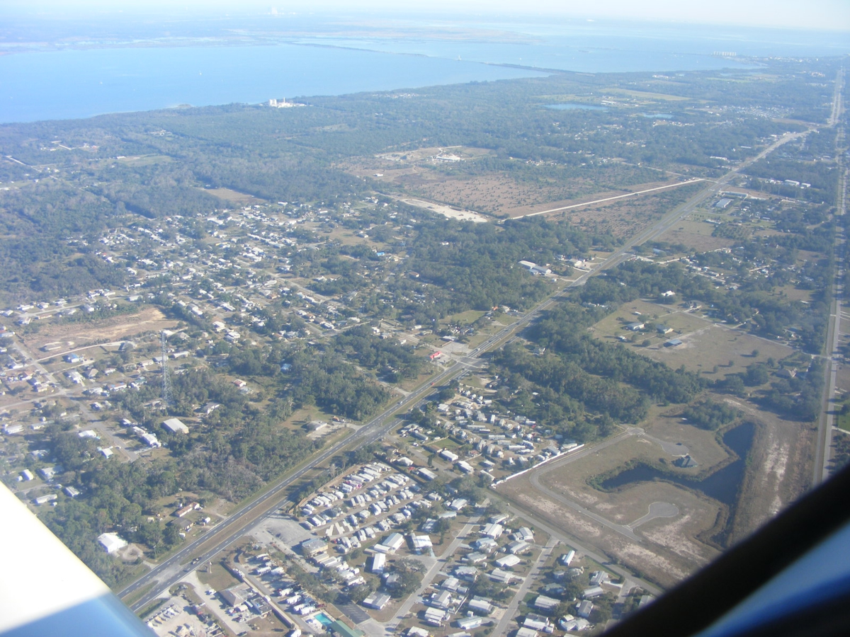
That street down there could also be a landing strip. It is really
an OLD DIXIE HIGHWAY segment north of Titusville.
Arthur Dunn Airpark is still a few miles away. I called on their
CTAF and got no answer from the ground or any aircraft that might be up high
with a load of parachute jumpers.
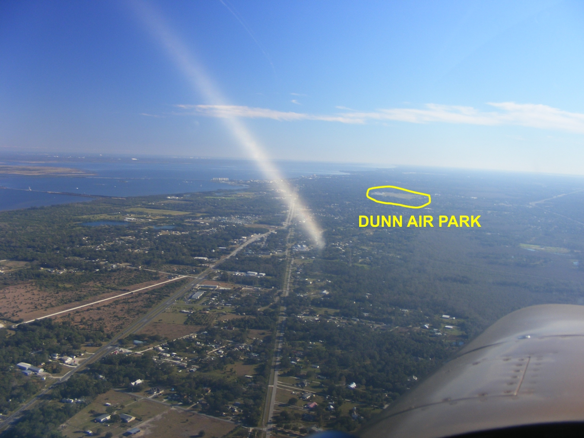
I landed on runway 15 for a full stop and taxied back to the north end of
the runway for takeoff. My ground track is seen here. When I was in
the air again, I turned west to be on the west side of I-95 and started climbing
to get past the Titusville Executive Airport (KTIX).
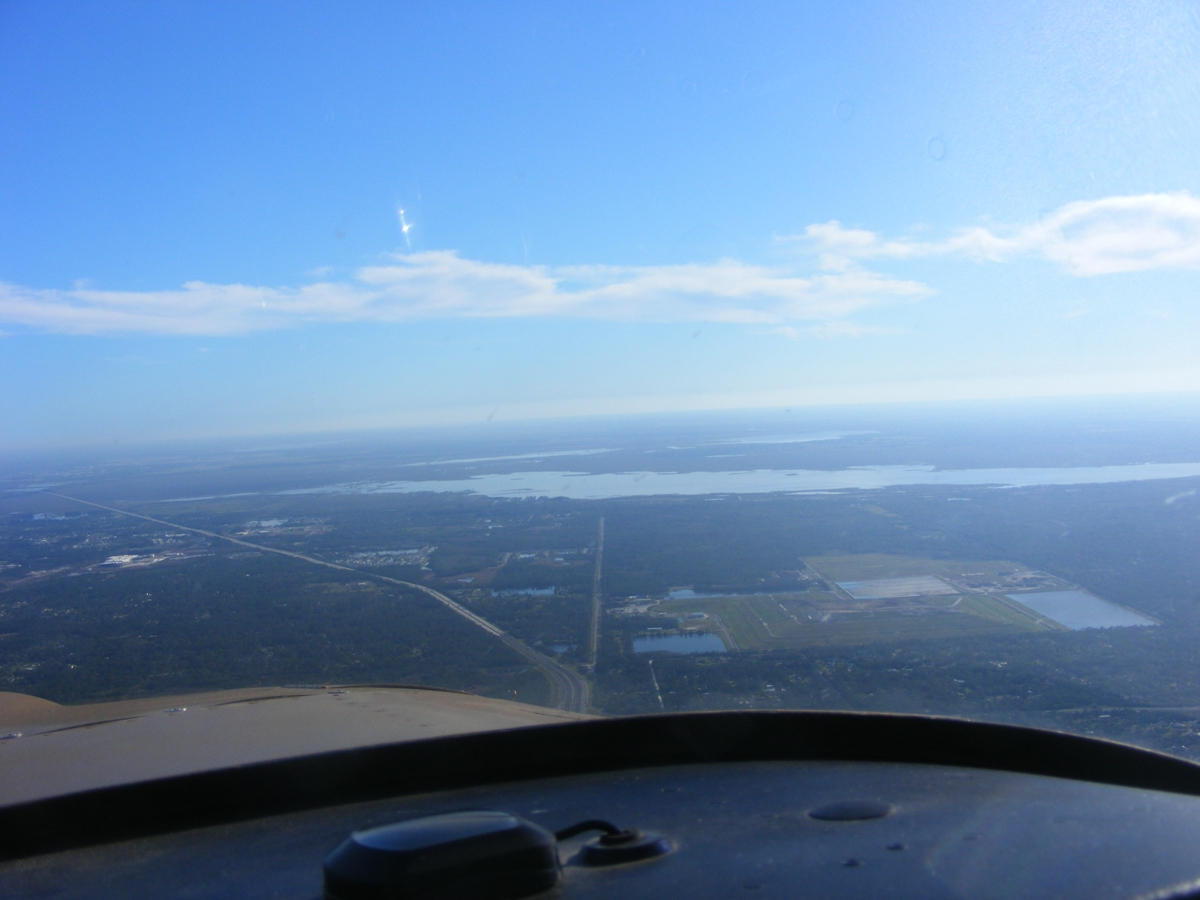
This photo was taken southwest of the airport as I engaged my autopilot
for the last few miles back to Rockledge. I am satisfied my NavAid wing
leveler is working normally.
That is Lake Poinsett where Bill does water landings for Aventura II
student pilots.
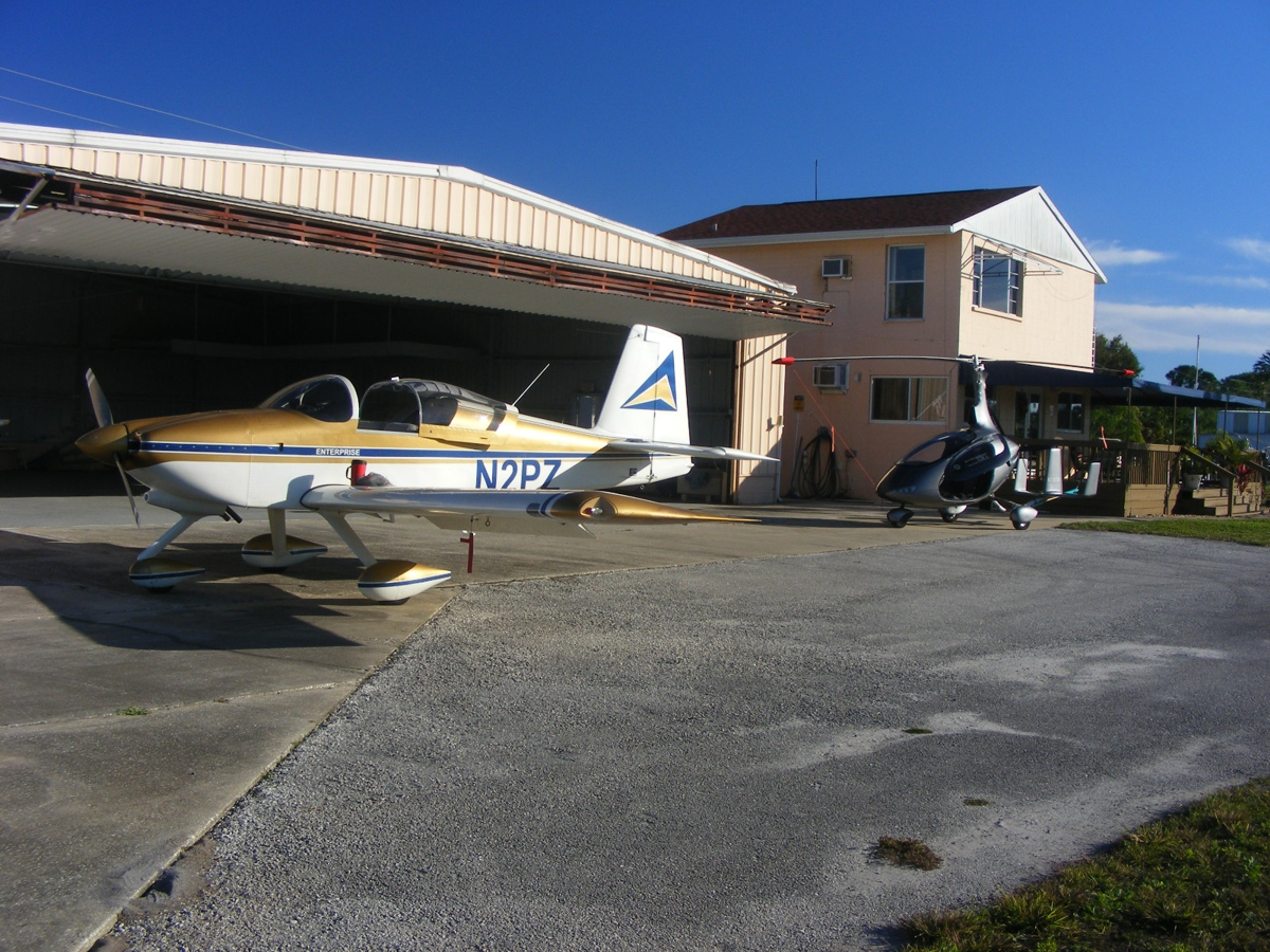
The landing back at Rockledge was from the south. I have opened the
hangar to push the gyro copter out before I can put my airplane back in the
southeast corner of the hangar.
The Hobbs meter added 1.0 hours for a total of 411.4 hours total time on the engine and air frame.
| CLICK HERE for PAGE 430 | Return to MAIN MENU |