October 2008 - Flying the Tri-State Area · · PAGE 275.
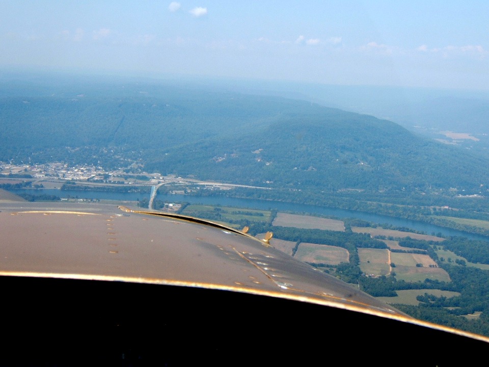
October 5, 2008: Marty got this shot
approaching the Tennessee River bridge with state route156 going into the little town of
South Pittsburg. He was telling me about a consulting job he had for a small town in
Tennessee just south of that low mountain you see dead ahead.
Marty wanted to show me the area on that mountain where he was testing a
potential headend location for a cable system. We circled around the area a couple
of times while he located some landmarks he remembered.
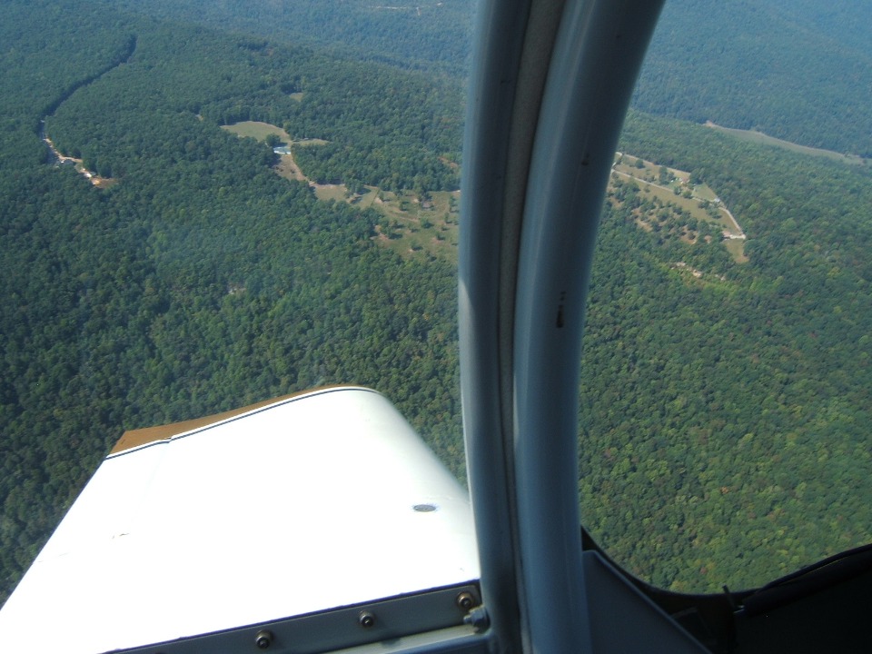
We turned in each direction over several areas looking for the site. When
we found the spot, Marty did not take a photo before we headed south.
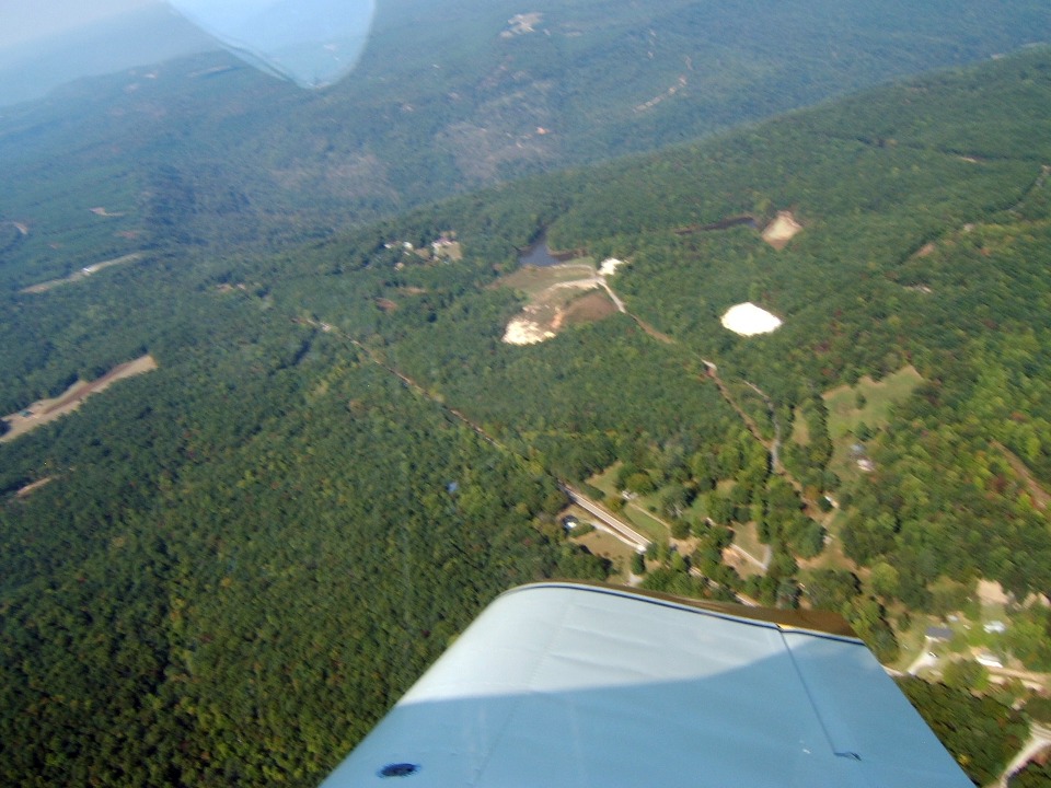
The plan for today was to fly down to Pell City, Alabama to the airport
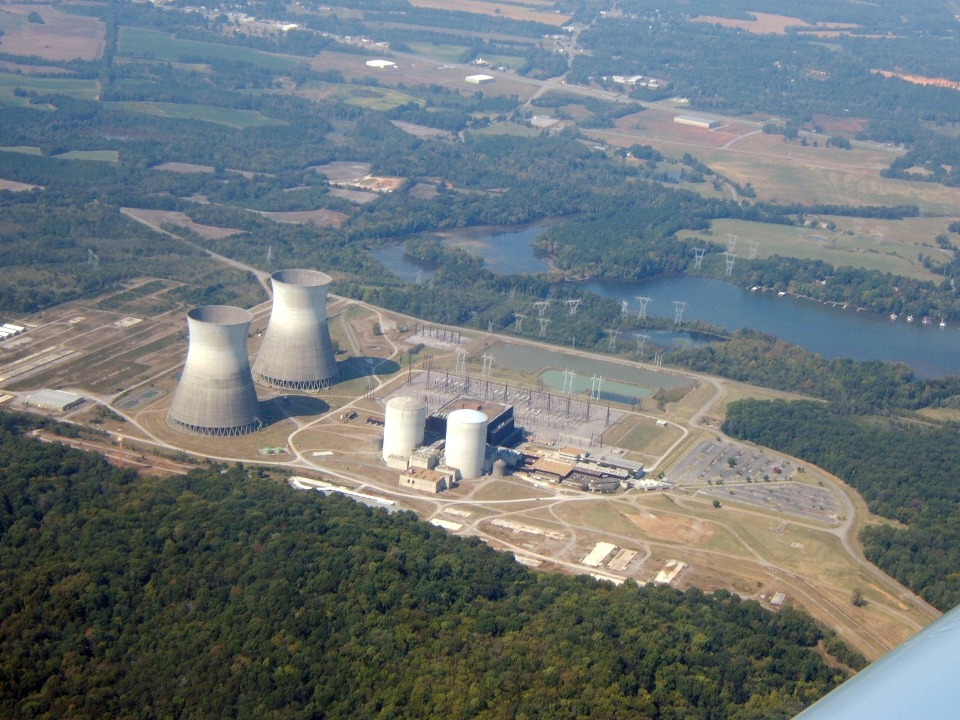
restaurant for lunch. We passed the TVA Bellefonte
Nuclear Power Plant just north of Scottsboro, Alabama. Marty got a really good
photo. Read the Wikipedia web link to learn why this power plant is not operational.
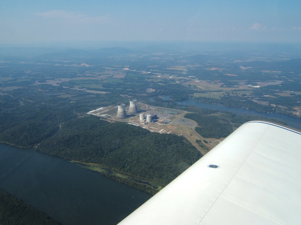
The zoom lens did a good job on this photo while the sun angle was just right.
We had also flown past a coal-fired
TVA power plant upstream at Bridgeport, Alabama. That plant is known as Widows
Creek.
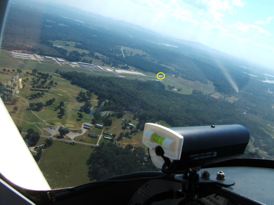
When we arrived in the downwind leg of the Pell City traffic pattern, a banner
towing plane was returning from the nearby Talladega Raceway to drop a banner on the grass
next to runway 3 at the south end. Marty took this photo just before he dropped the
banner seen in the yellow circle.
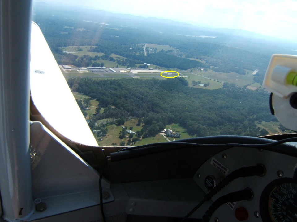
Here is a closer view just an instant before the banner settles in the grass
between the runway and the taxiway. The tow plane is not visible against the ground
clutter. I could see both his airplane and the banner when he was in the downwind
leg as we approached the north end of the airport.
| CLICK HERE for PAGE 276 | Return to MAIN MENU. |