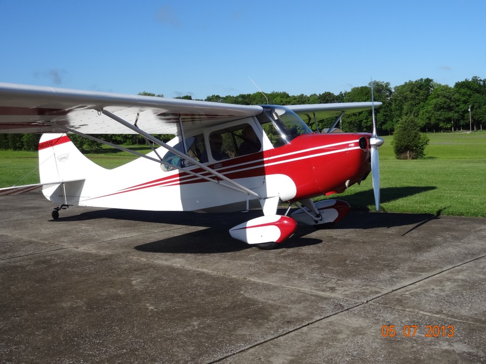
Wendell's Aeronca Champ Heading to Amarillo, TX! - - Page 1.
May 7, 2013: Here are the last photos of the
Champ on the ramp at Folks Field taken at 9:03 AM. Wendell Folks and Terry McDowell
take a much more leisurely trip this time compared to their five-day trip to Alaska in
2007 when Wendell sold his Cessna 182 and delivered it to Anchorage. The trip this
time is expected to be two days to Amarillo, Texas. Terry's wife was here to see
them off and snap this photo with his camera.
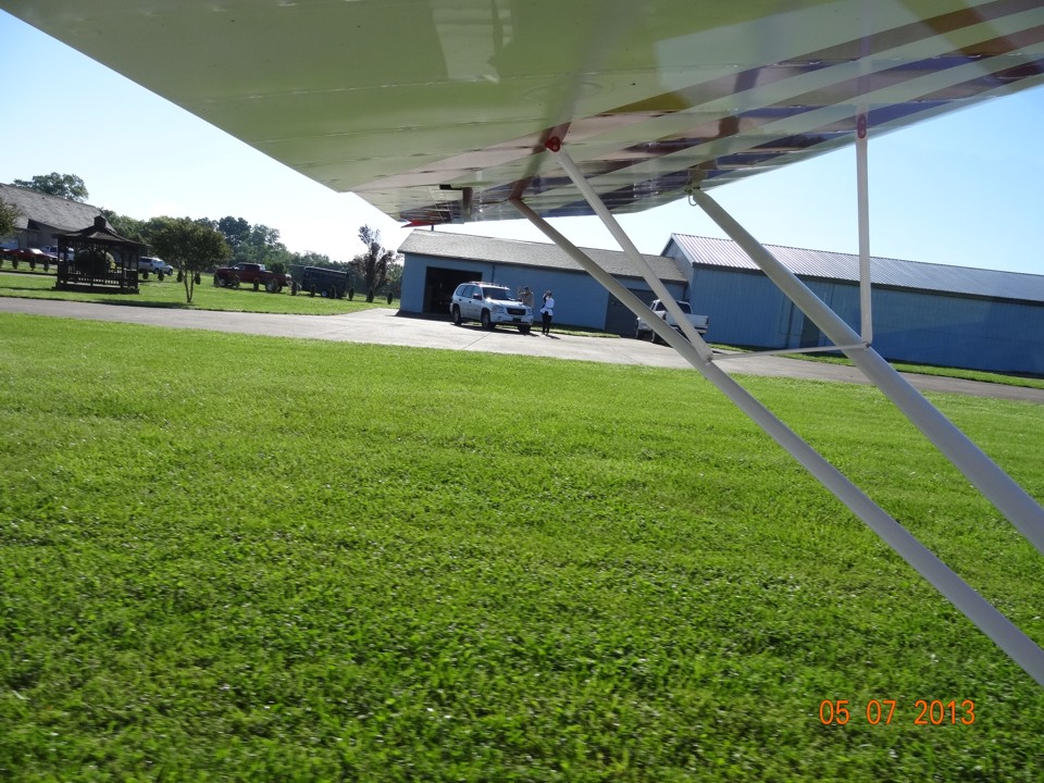
The last minute checks of GPS waypoints are made before departing the ramp.
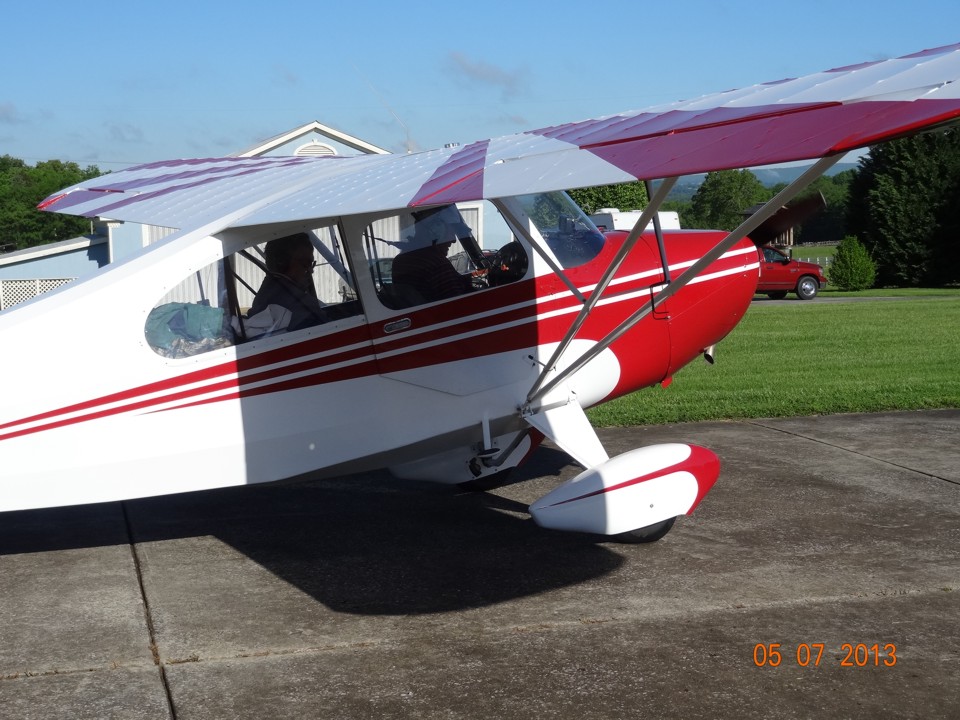
The engine run-up test is done at the north end of the runway before the take
off roll. Wendell will fly the first leg of the trip.
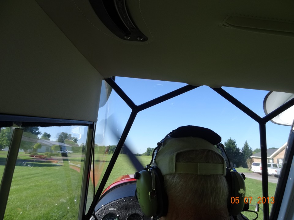
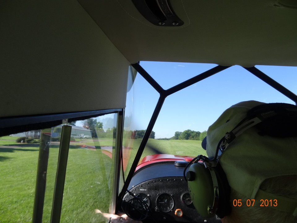
The takeoff roll begins at 9:07 AM as Terry snaps this photo from the back seat
of the Champ.
Terry's wife and Wendell's friend "Cool" wave goodbye as the Champ
gathers speed for the takeoff. The angle of the camera is a reminder this classic
airplane has a tail wheel.
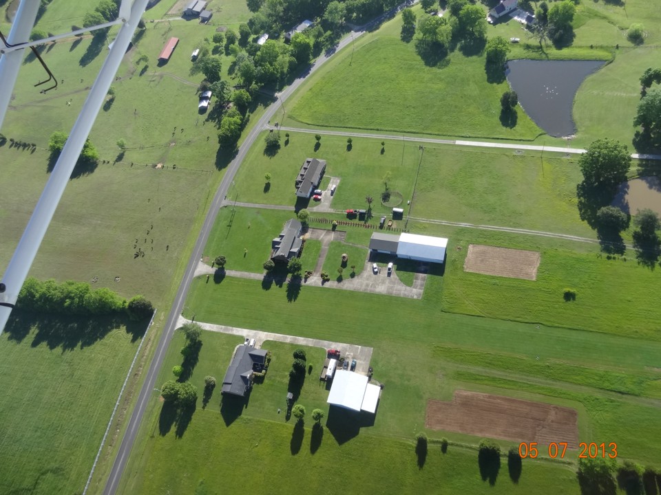
The pass over the field at 9:09 AM before departure provides a good photo of
home and some needed altitude before heading west toward Lookout Mountain. That
patch of bare ground to the right of the hangar is prepared for this year's garden.
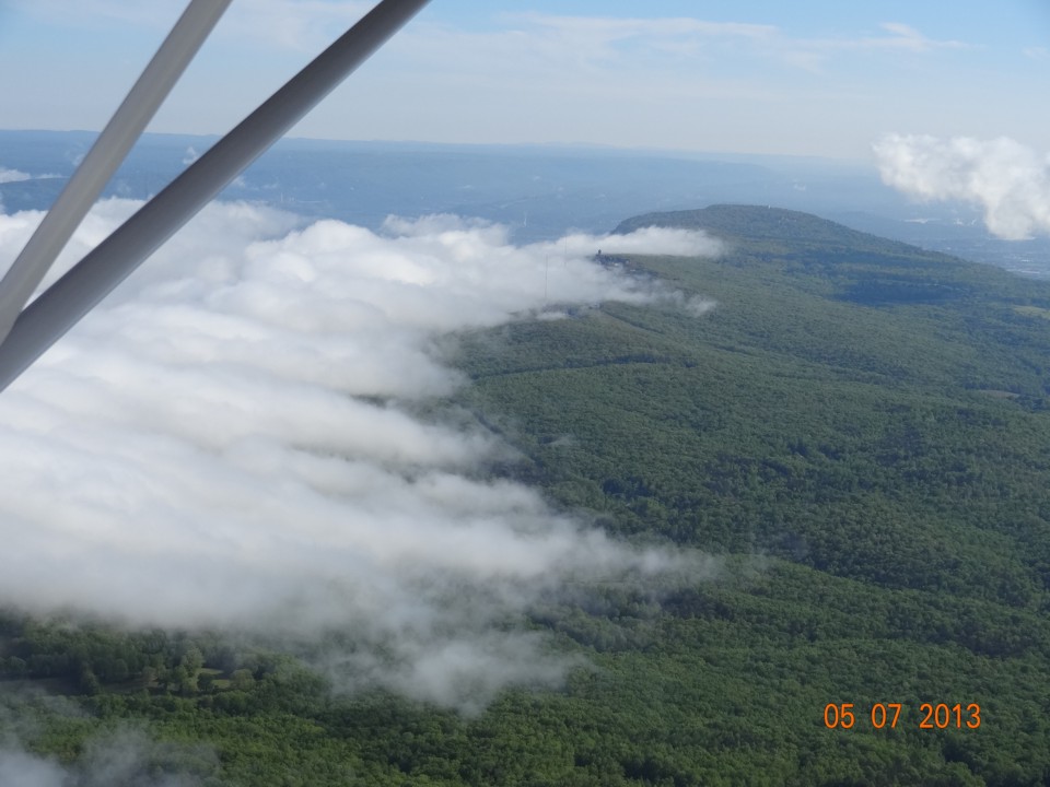
Here is the view looking north toward Point Park from above Lookout Mountain
with an elevation of more than 2,160 feet MSL near the point. This photo was taken
at 9:16 AM Eastern Time as they cross the first mountain in today's trip.
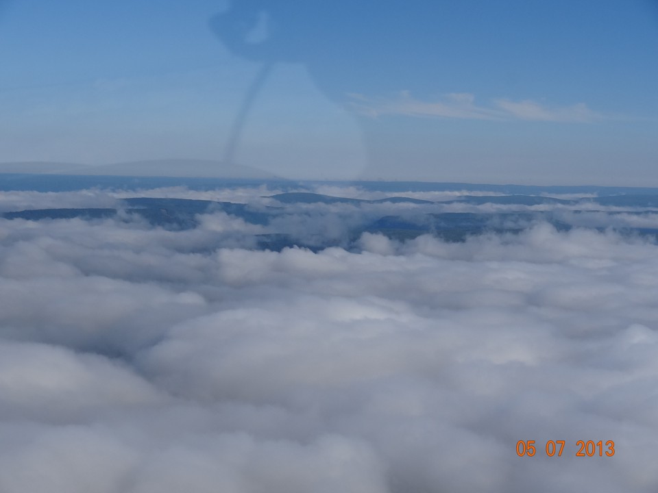
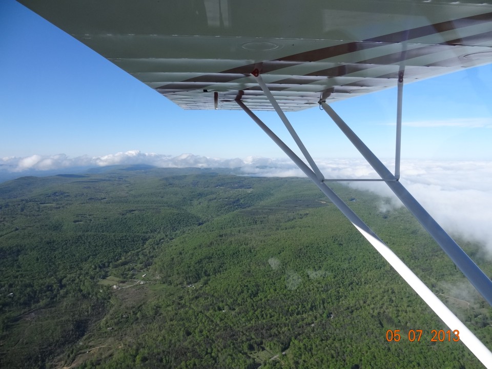
These are the low mountains of the Cumberland Range. The center of
Tennessee is dominated by the Cumberland Plateau. These mountains are south of the
Plateau near the paths of Interstate 24 and US 41 heading west from Chattanooga before
turning northwest toward Nashville at a point about 30 miles west of Chattanooga.
The valleys ahead are filled with low clouds partly because of the proximity of the
Tennessee River.
The view looking south at the top of Lookout Mountain indicates the higher
elevation is at the west brow. Notice how the clouds in the valley to the west
dissipate as they reach the top of the mountain while moving from west to east (right to
left in this photo).
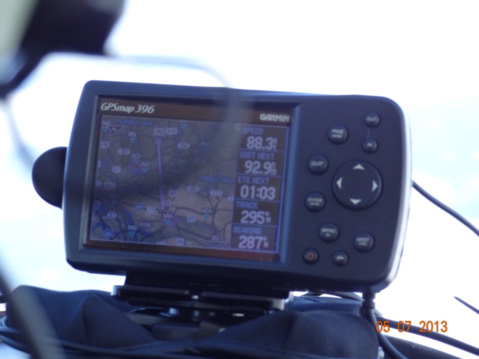
The GPS shows 92.9 miles to the Lawrenceburg, Tennessee airport. The
total distance from Folks field to that airport is 117 miles. The current position
at 9:17 AM is about 14 miles from home. The ground speed shows 88 MPH, which says
there is not much of a headwind, if any. The Aeronca Champ is slow compared to Van's
RV's.
| CLICK HERE for Amarillo PAGE 2 | Return to MAIN MENU |