June 2022 Vacation Day 11, 1849 Gold Rush Route · · PAGE 29.
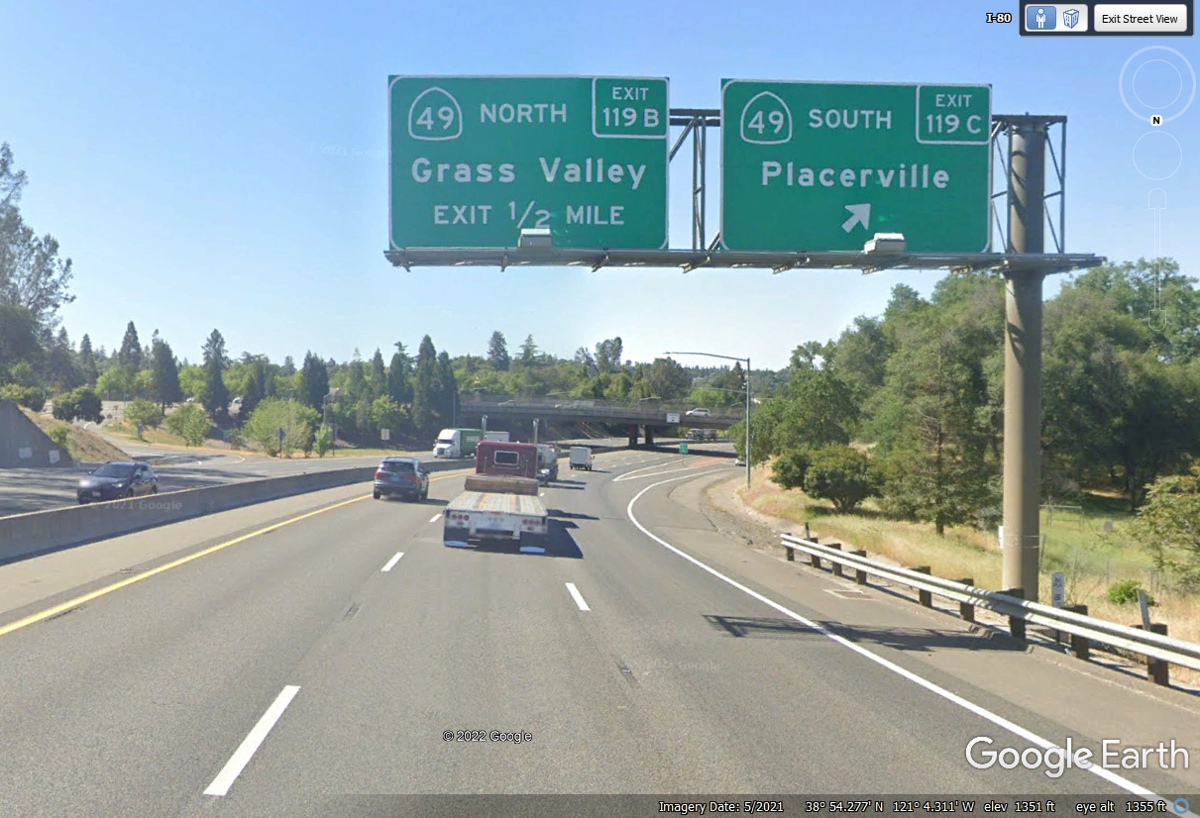
June 2, 2022: We have been looking for this exit for the last 54 miles on US 50.
We are now going SOUTH on California route 49 down to Sonora, California.
The elevation here is 1,351 feet MSL putting the Sierra Mountains behind us to
the East..
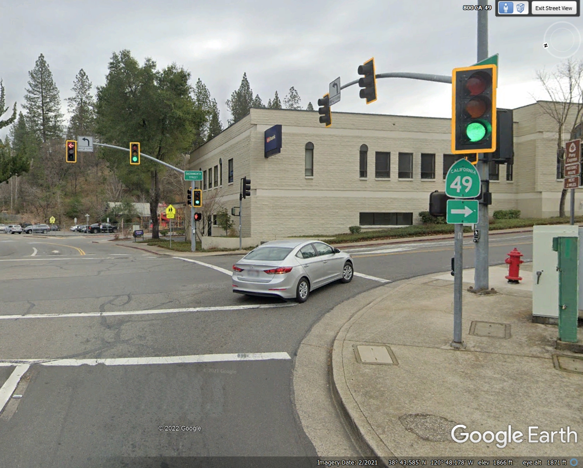
California route 49 goes one block south from the freeway, then turns left
on Main Street here in Placerville as seen below.
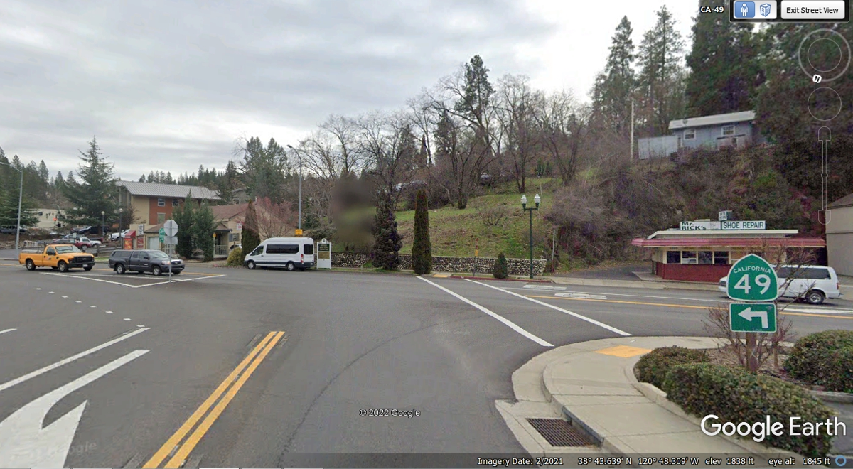
After turning left on Main Street, route 49 continues south through the next
intersection over this hill.
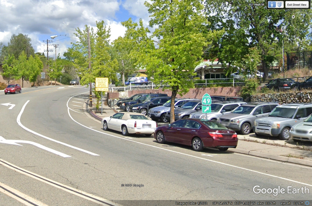
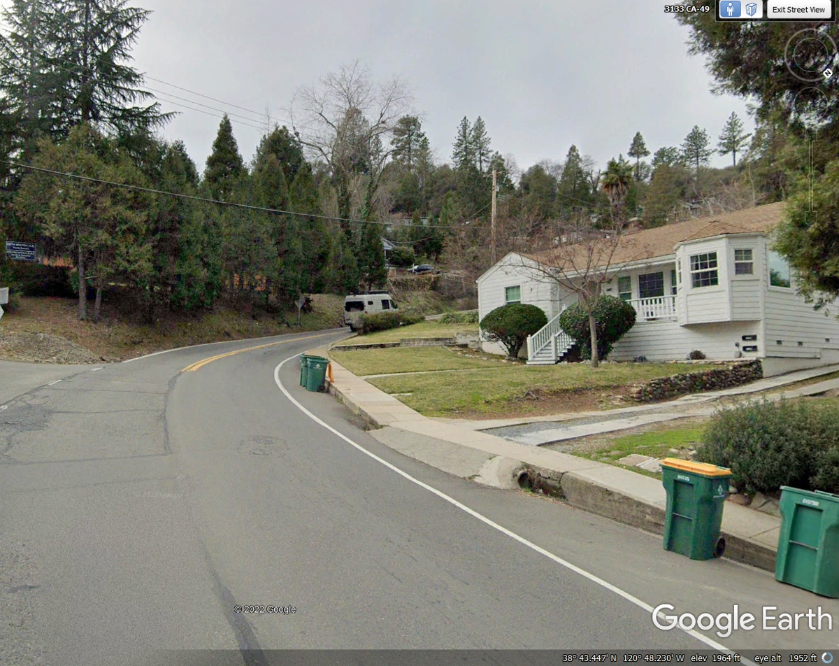
Following the route 49 markers is a zigzag trip here in Placerville.
The road turns to the right here to go up a long hill.
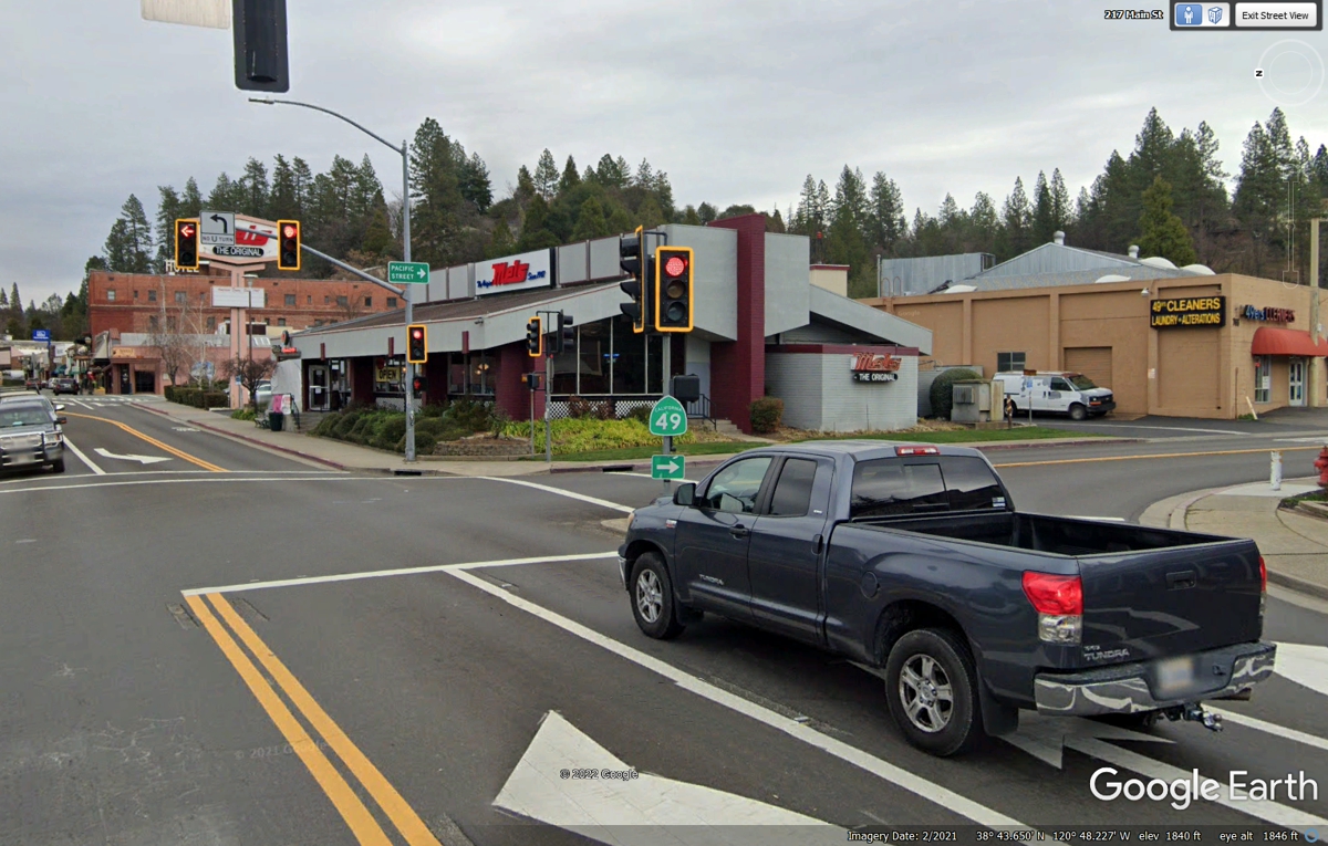
The road turns right at the top of the long hill and is winding its way out of
the heavy population area into some countryside.
This is the town of Diamond Springs, less than three miles from US 50 exit
119C. The lower speed limit and all those turns and some traffic lights
made it feel like it was more than the three miles to this point on route 49.
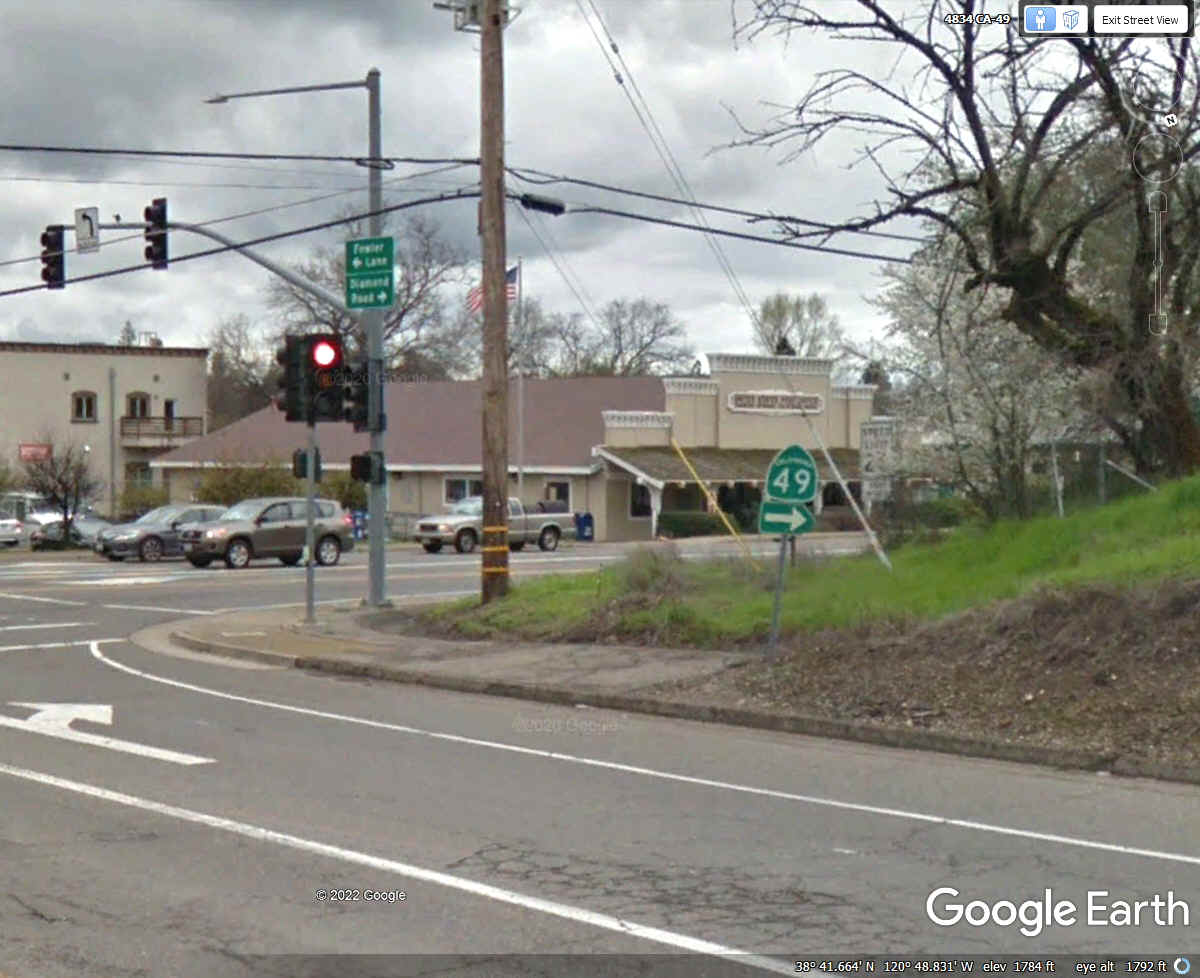
We have 75 miles to go to our next destination which should be our place
for lunch.
This next left turn and the stop sign ahead will take us to the town of Plymouth,
California on our way to Sonora.
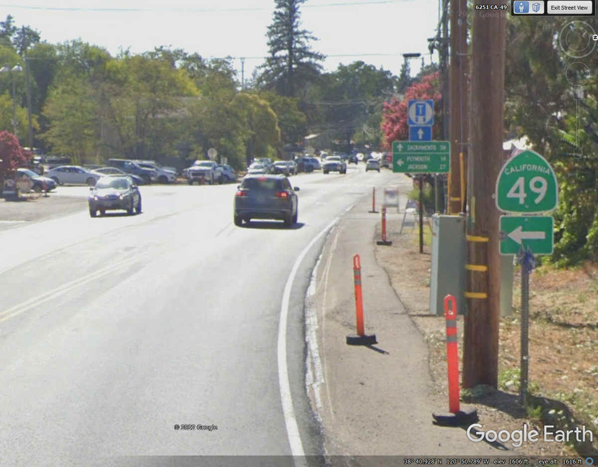
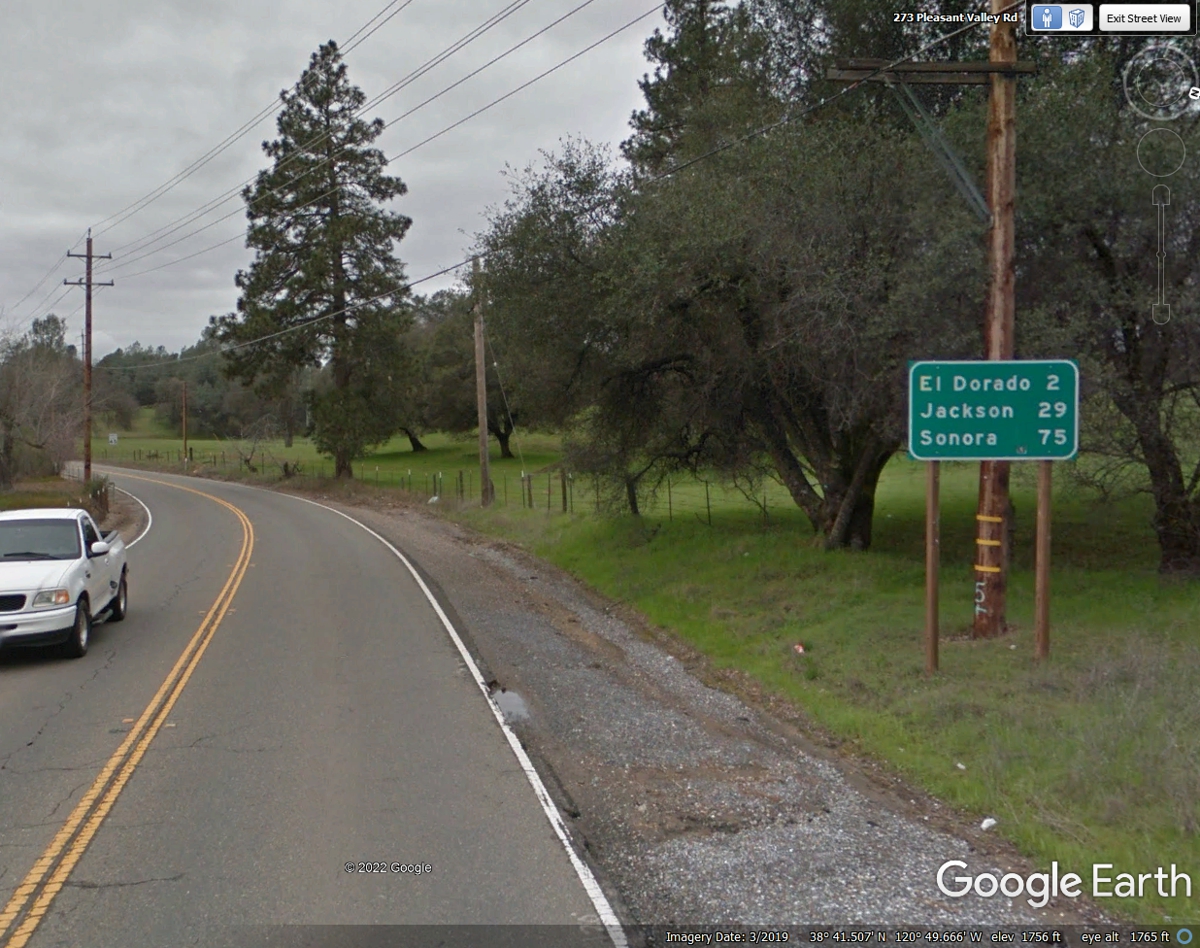
Here is the first mileage sign after leaving El Dorado going toward
Plymouth and Sonora on California route 49.
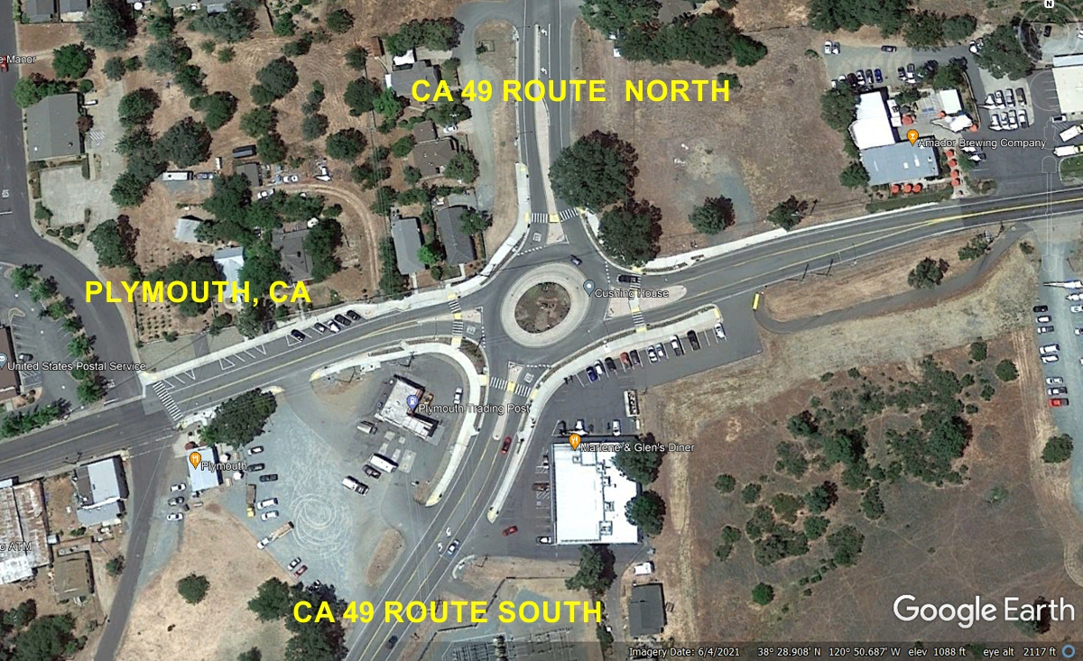
The town of Plymouth, California has a NEW traffic circle visible in the
aerial image that was not seen in an image from the Google Camera Vehicle when
it drove through the town.
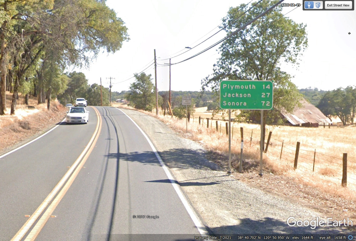
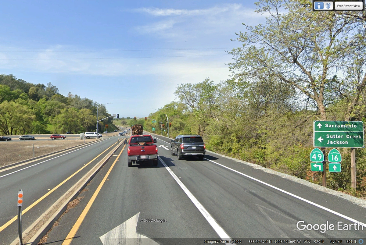
This is the sign I like to see after we pass through the various
towns. Sacramento is on the sign because CA route 16 is about three miles
south of town going directly from there to Sacramento, the capitol city of
California.
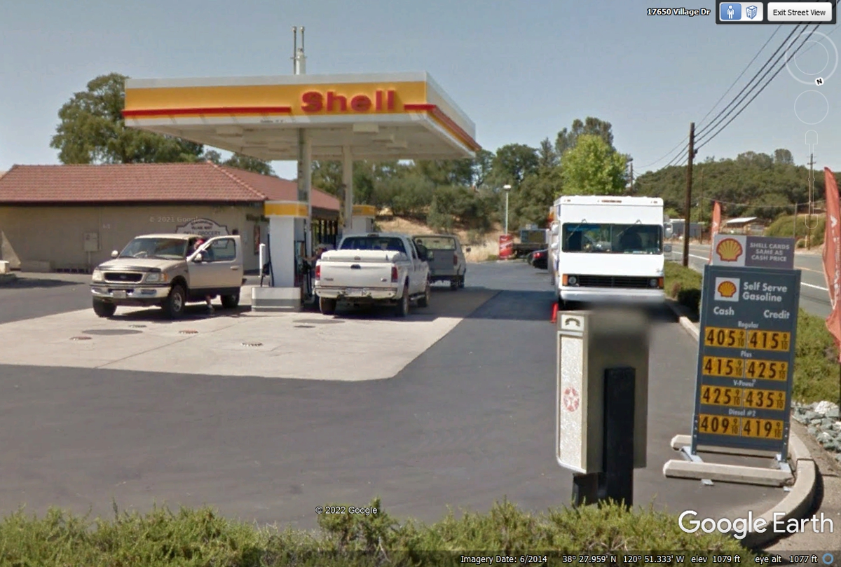
This Shell station a few miles south of Plymouth, California was a pit
stop for all of us. Even Chase found some grass on the property. The
gas prices are from June 2015. Gas prices in California have been
high-priced for a number of years. We did not need to buy gas here at 2022
prices.
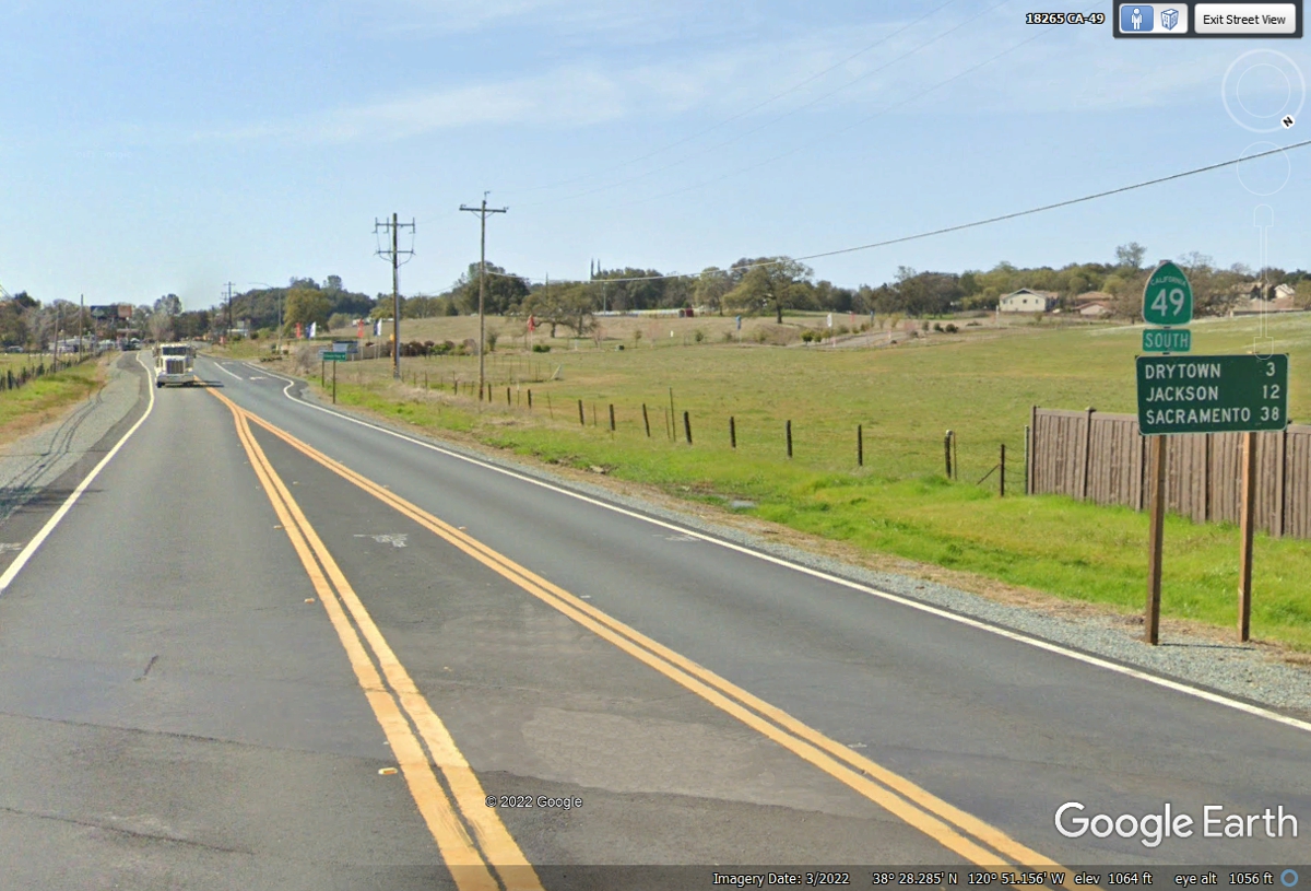
We turned left at the next junction to continue down to
Sonora on California route 49.
Sutter's Mill was the site of the 1849 gold strike in California. A
replica of the mill is there for tourists to see. Drytown is a small
community in a wine producing area.
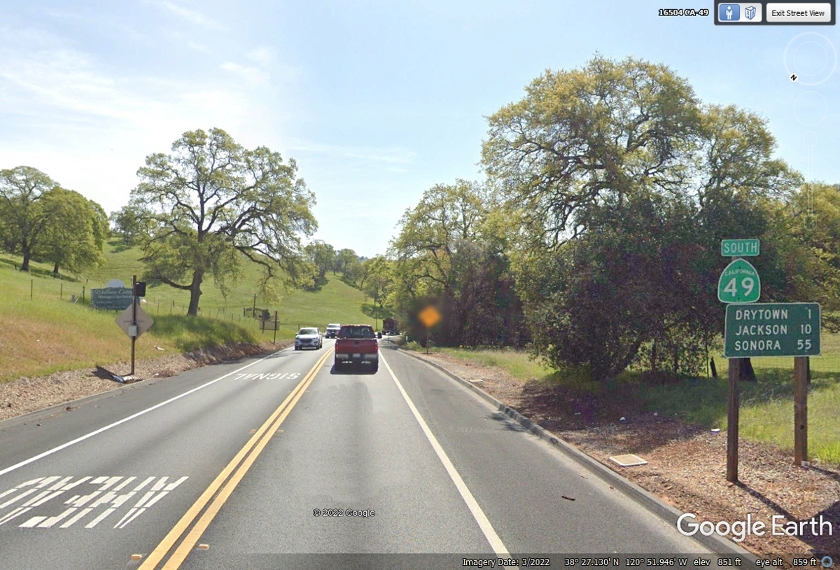
Sonora is now only 45 miles ahead as we leave Jackson behind.
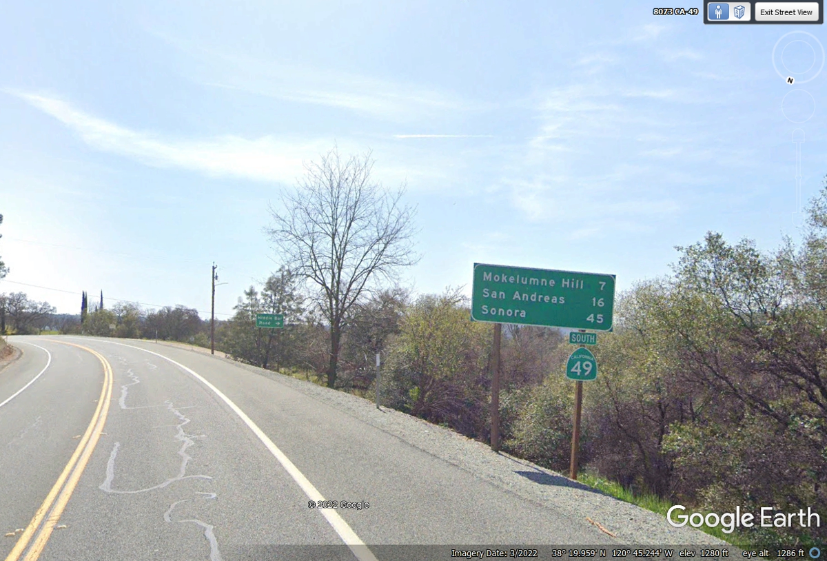
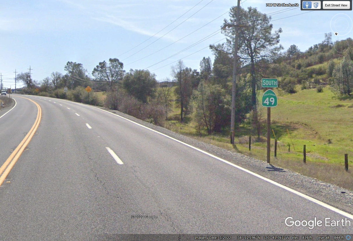
This lonely route marker assured me we were still on California route 49
with the town of San Andreas ahead of us.
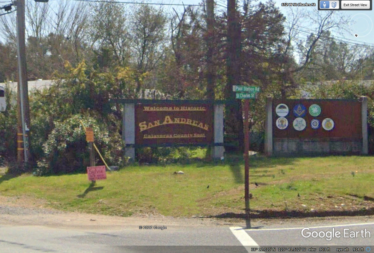
The usual welcome sign is on the north side of the town of San Andreas,
which is the county seat of Calaveras County. If the name of the county
sounds familiar, you probably have read a Mark Twain book about the Jumping
Frogs of Calaveras County. Mark Twain (Samuel Clemens) spent some time in
this area when he was writing that book.
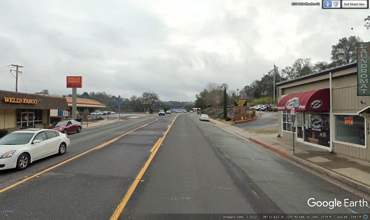
This image is from the south side of the business district of San Andreas
continuing south on route 49.
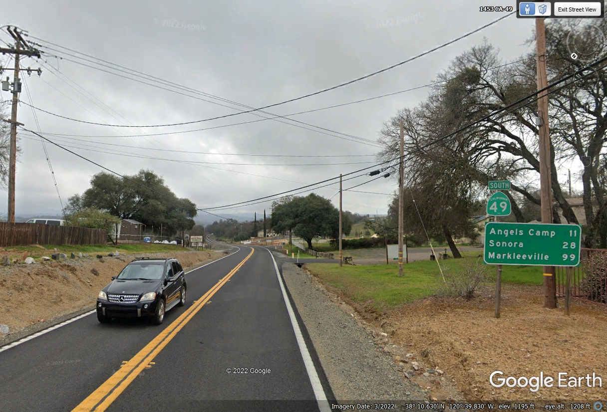
These CAL DOT information signs have been a mainstay of my story telling
of our trip in the state of California. They confirmed I was on the
correct route after passing through the small towns on our way to our FIRST
destination in California, the town of Sonora just 28 miles ahead from this road
sign seen below. UPS has a local sorting center in the town of Angels
Camp. I discovered this bit of information when I would track packages
from the company location near Sonora.
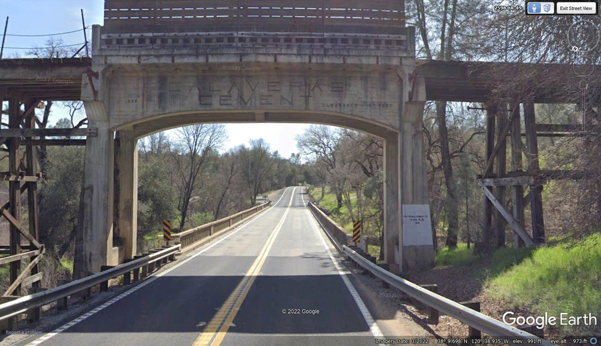
When we drove down this part of California Route 49 on June 2, 2022, I
thought I was passing under a railroad trestle, but that is not why this
steel-reinforced concrete structure was put here. It was built in 1935
when CA 49 was already here. The imprinted letters are "CALAVERAS
CEMENT" which was probably the builder. On either side of this
structure we see wooden trestles made to support automotive or truck traffic,
not a railroad. The bridge on the other side crosses Calaveras Creek and
was built in 1930, proving the highway predates this concrete trestle by five
years.
While doing my Google Earth research on July 9, 2022 creating this web
page, I noticed this side road about 1.8 miles south of the Trestle and bridge
across Calaveras Creek. The Union mine was easy to find on Google where
they mention copper and gold have been mined there.
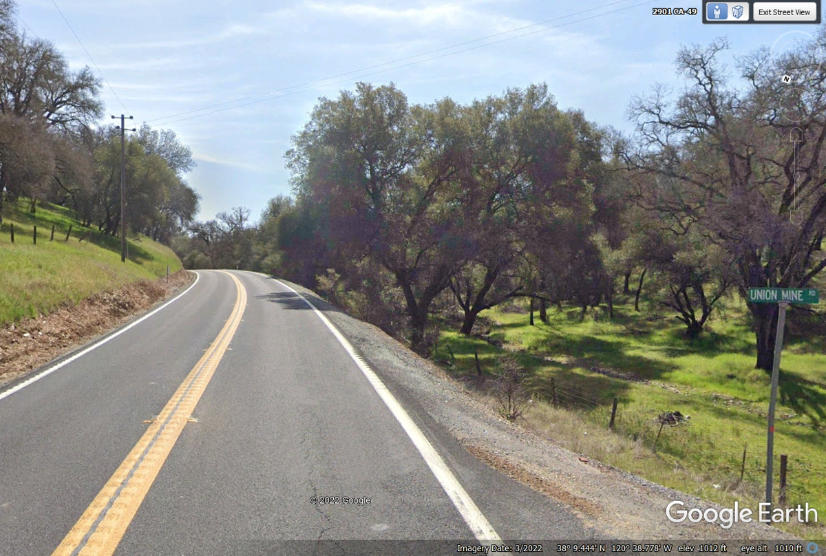
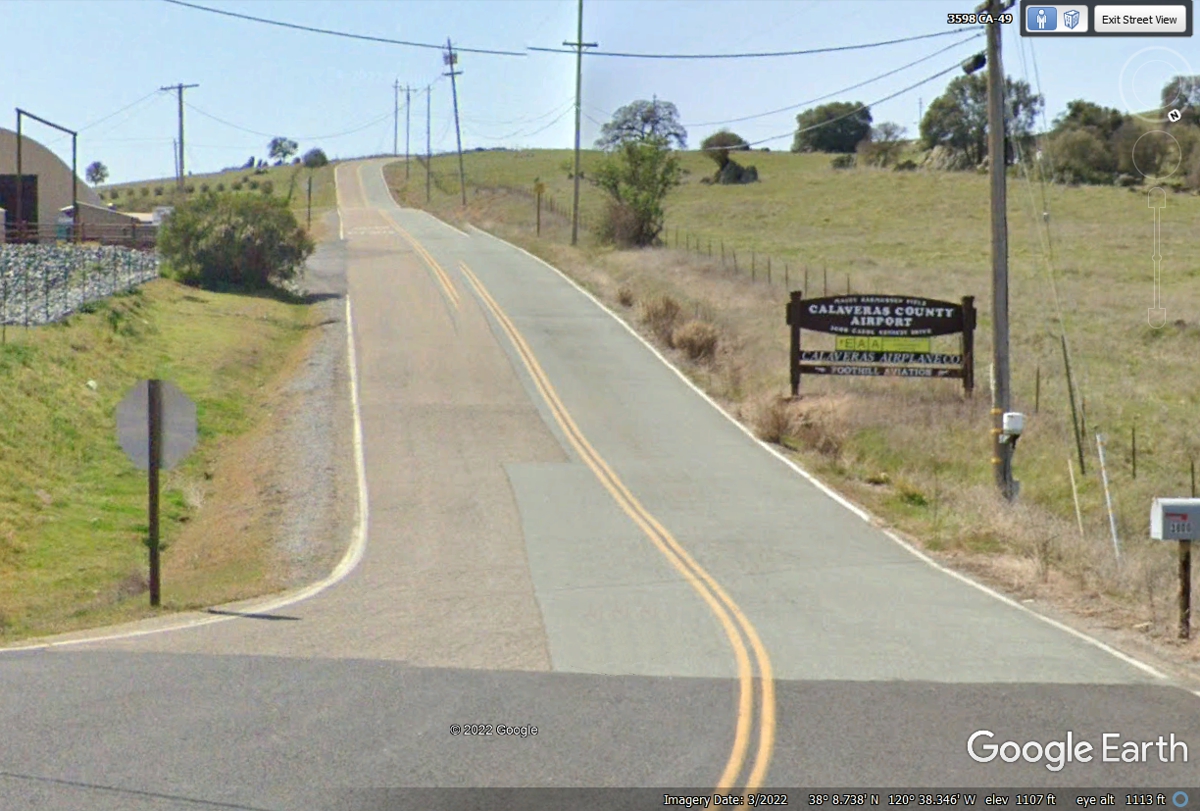
This road leading up the hill to the Calaveras County Airport is just over one
mile south of the Calaveras Creek.
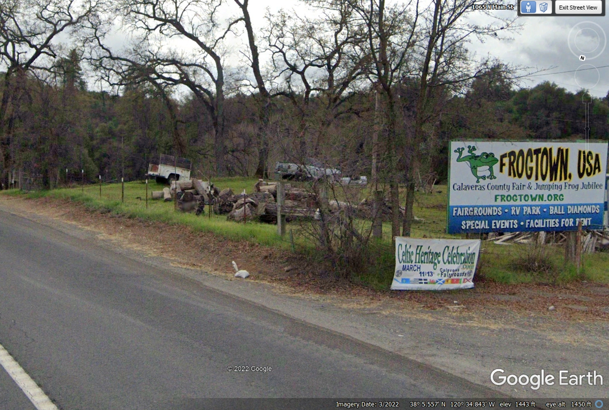
This big sign on the side of the road says what you want to know about
this town and county. Frog jumping contests were going on when Mark Twain
spent time here in 1864 and 1865.
The city limit sign for Angels Camp is near the top of the hill. The
name of the town does not require an apostrophe (') to be correctly spelled.
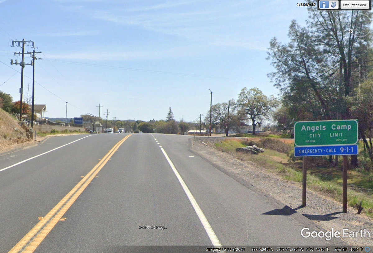
The speed limit goes down as we get closer to the center of town.
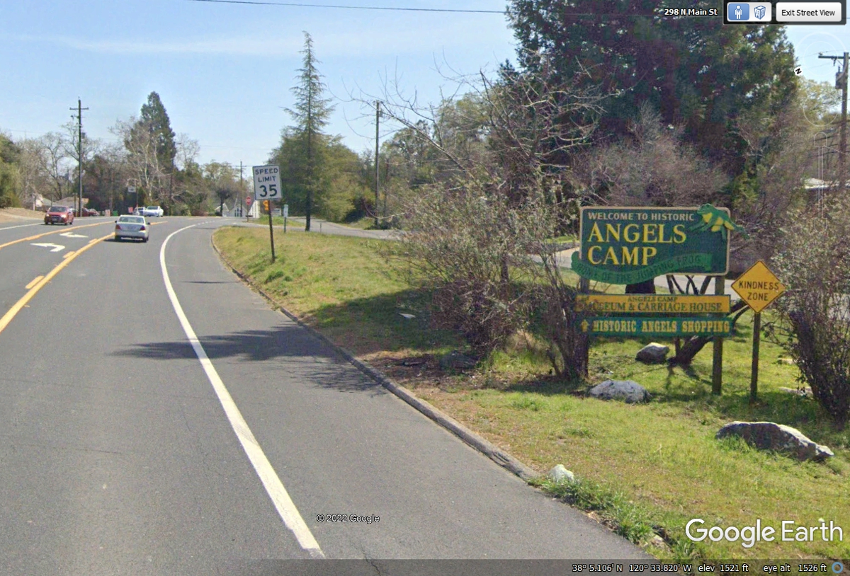
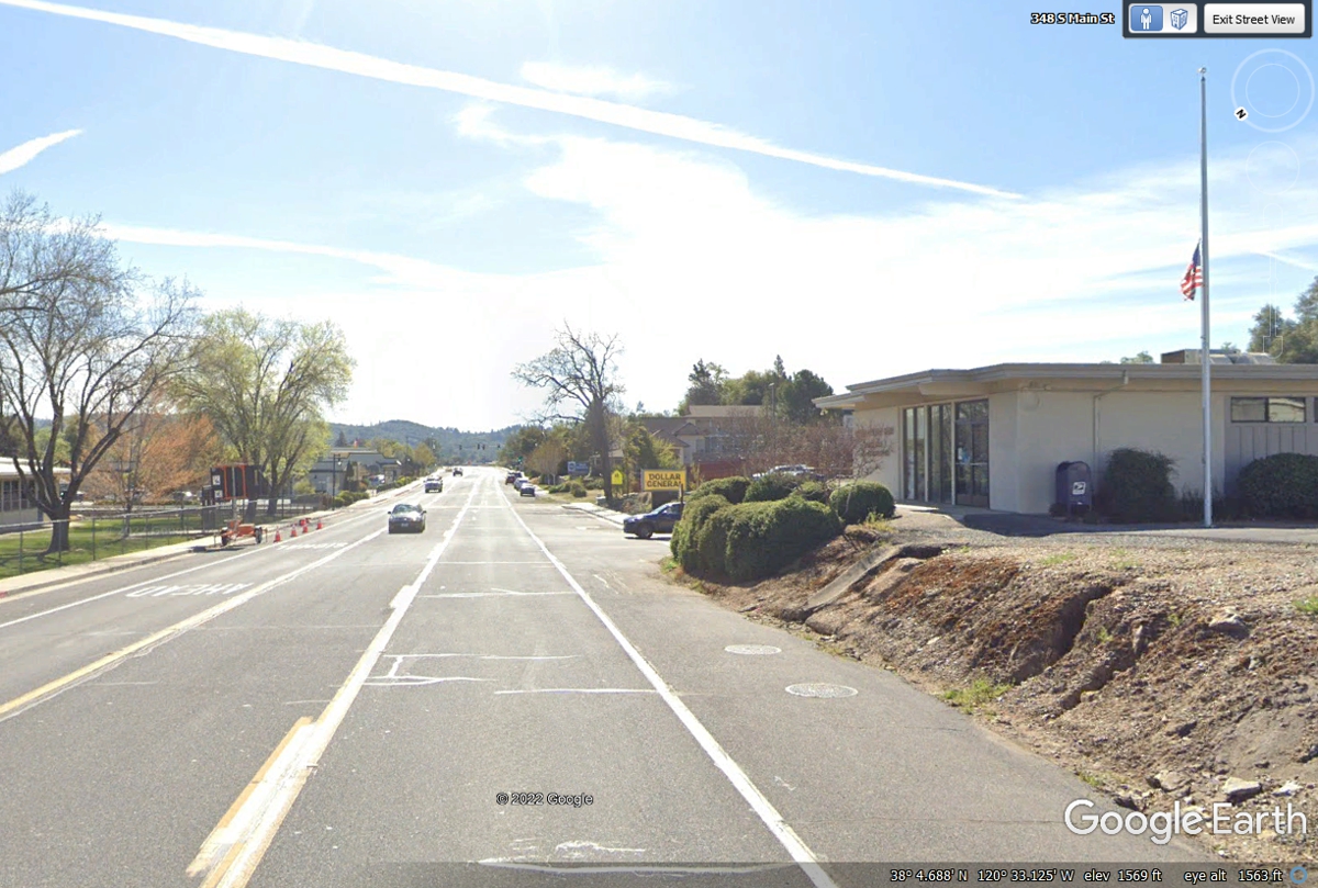
Angels Camp is about 2.5 miles from north to south with the Post Office
near the center of the business district.
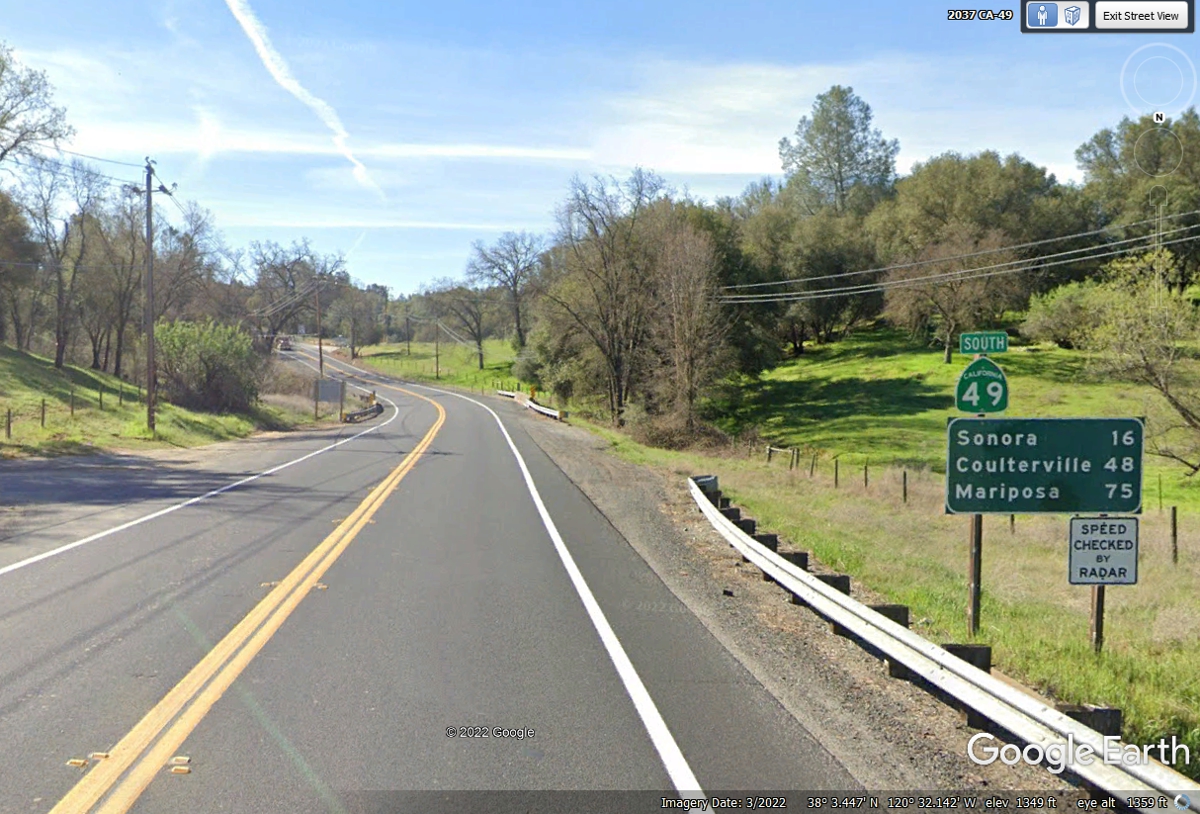
Here is the mileage sign on the south side of Angels Camp
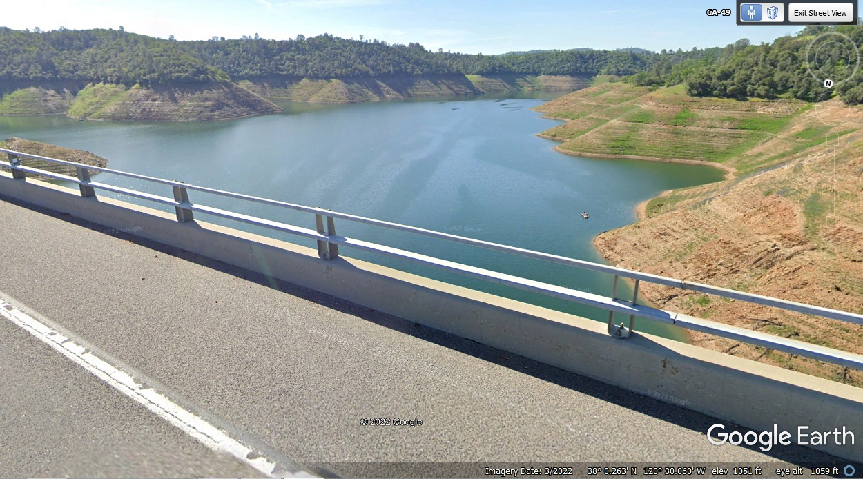
The lack of winter snowfall in the mountains to the East and not much rain
is clearly indicated by the water marks in this reservoir which is fed by the
Stanislaus River.
| ROUTE 49 CALIFORNIA GOLD RUSH AREA - PAGE 30 | RETURN TO WESTERN TOUR INDEX PAGE |