June 2022 Vacation Day 11 · · PAGE 27.
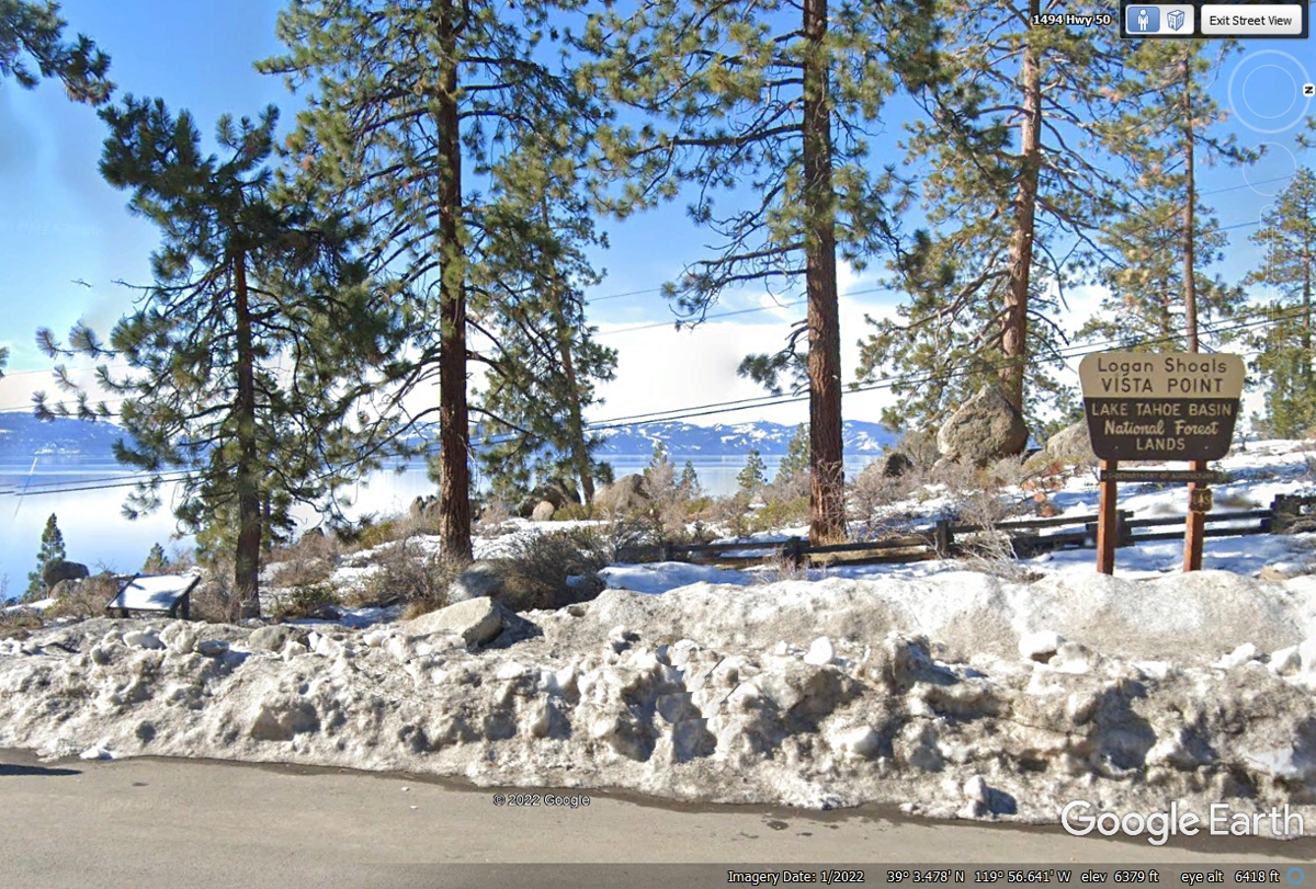
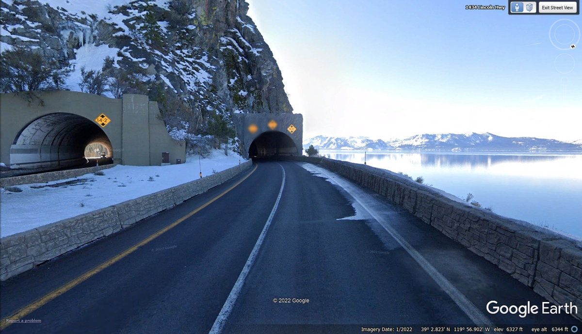
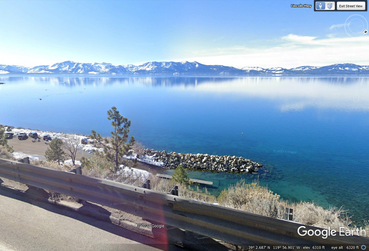
June 2, 2022: The snow seen in the
Google Earth image from January 2022 below was NOT HERE when we stopped at this scenic overlook on June 2,
2022.
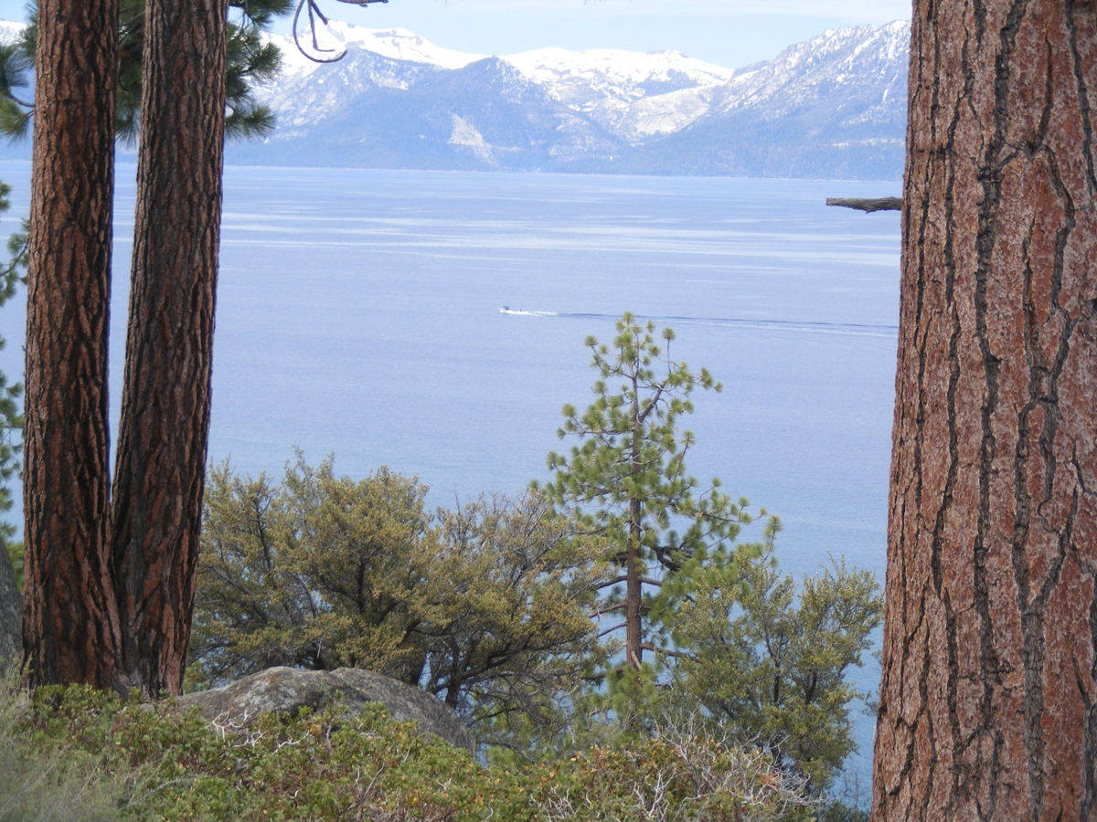
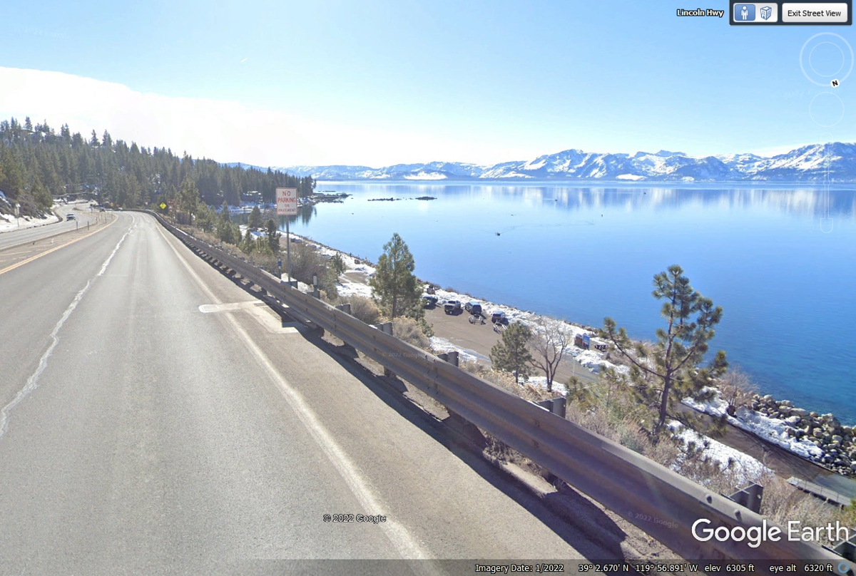
This picture was the last one in this series. I realized it needed
to be the FIRST one on this page.
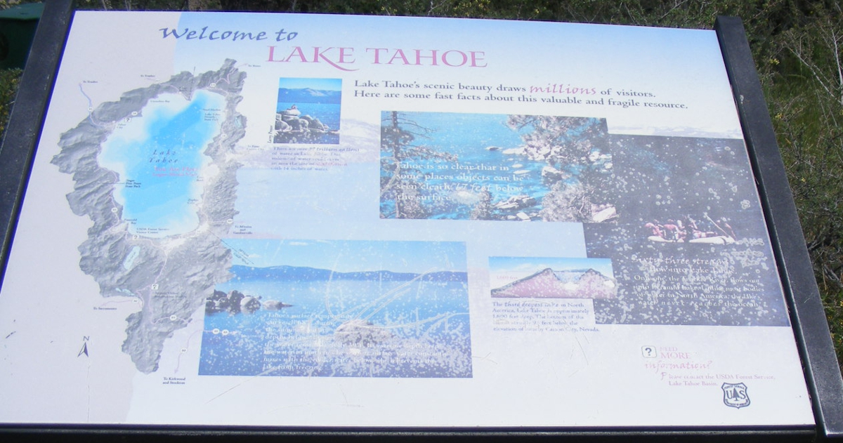
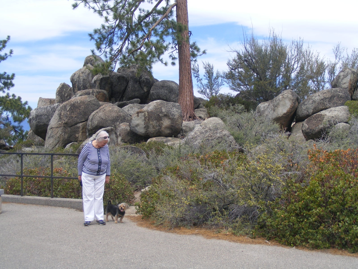
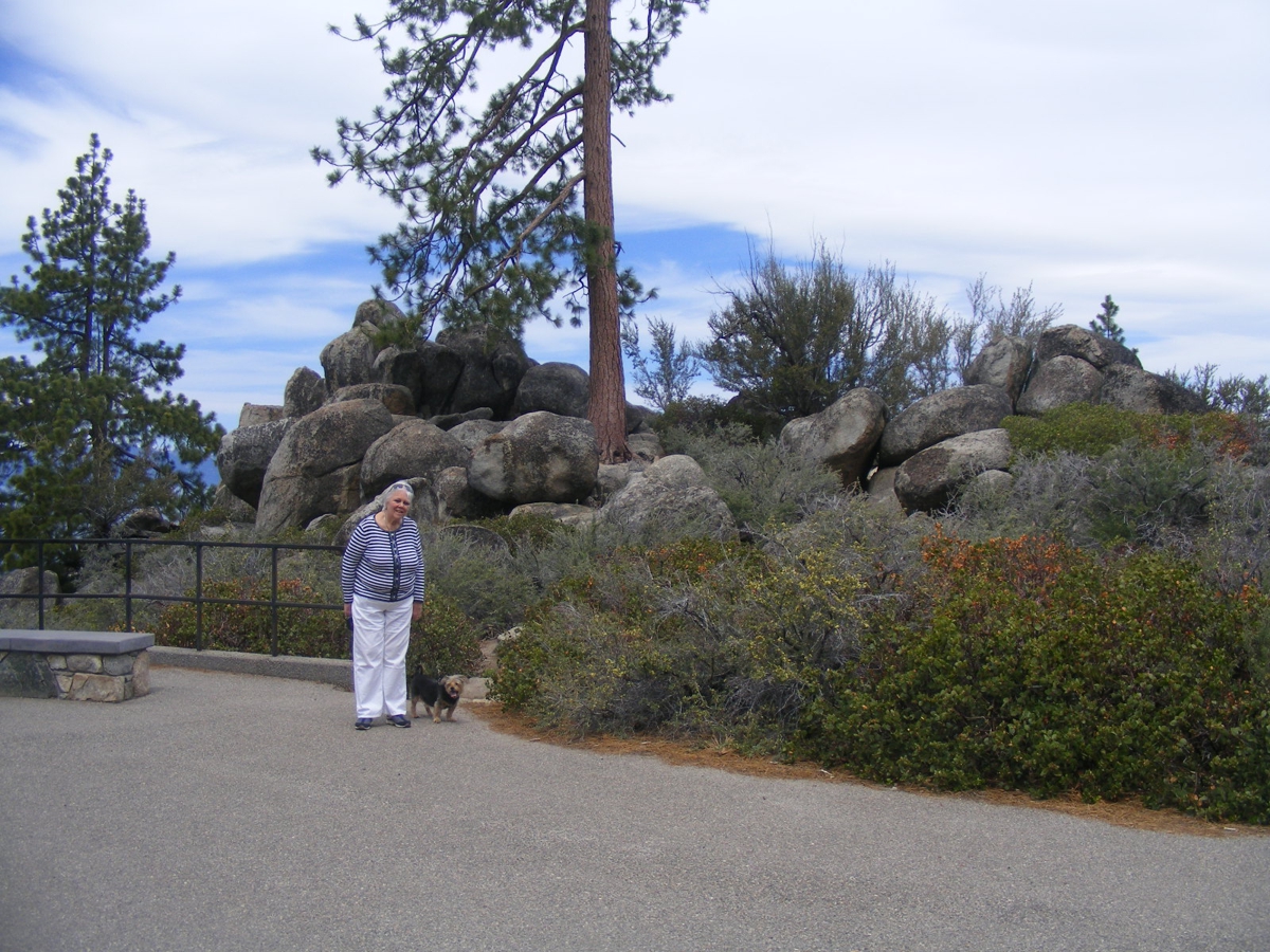
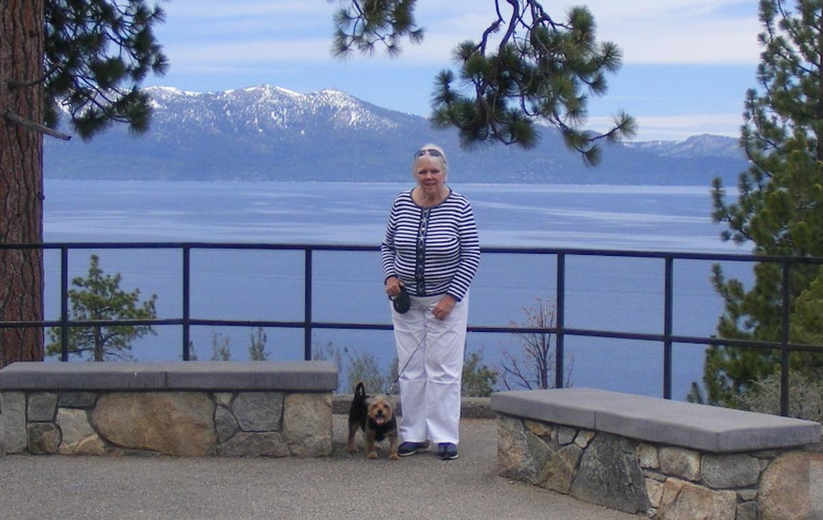
Here are the photos I took at this place. Linda's dog Chase had his
chance to get a walk in this roadside natural attraction.
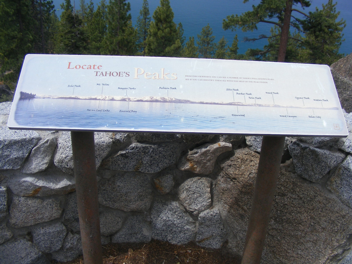
This plaque identifies the mountain peaks around the lake.
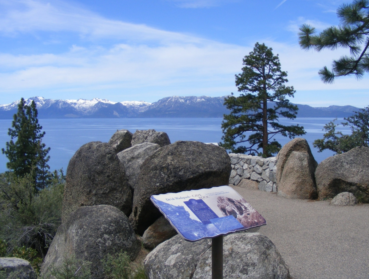
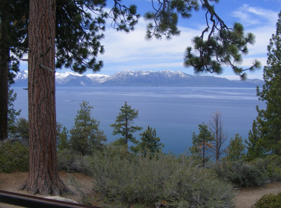
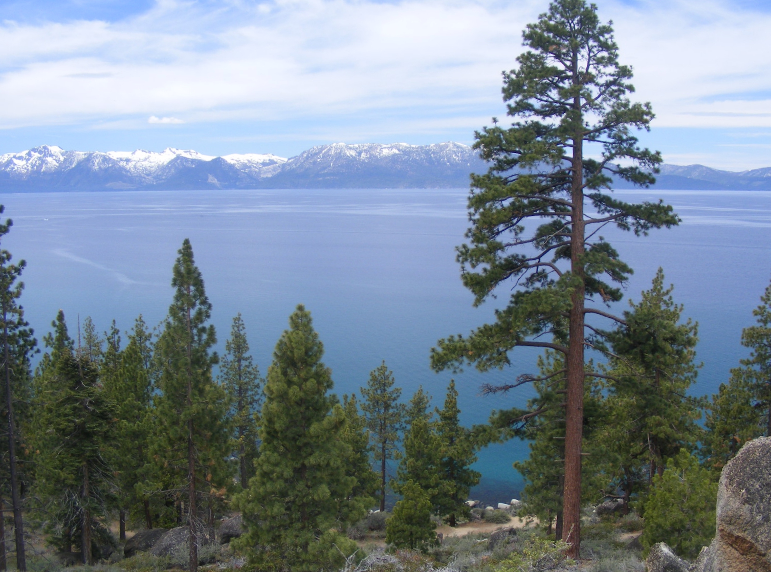
I am moving to different camera locations to get the full view possible from this
place.
The view is different in every direction.
Linda gives Chase a look around the grounds of this roadside area.
Linda faces the camera after my request.
My use of the zoom lens in my camera adds more detail to the mountains in
the background. I like to create photos that are "framed" by
trees and their limbs. It also helps when both subjects in the photo are
facing the camera.
A wide-angle view of the surroundings must have the camera level with the
horizon, as is nt this case, the shoreline on the other side of the lake.
This stop was a key reason I came around the south side of Lake Tahoe. My
previous visit to Lake Tahoe was late in 1977 when I drove along the north shore
in a company truck towing a transportable satellite antenna on the way to Reno
from Sacramento.
I was pleasantly surprised when I came to these two tunnels on US 50.
The tunnel on the left has a view all the way to the other end of that tunnel.
This Google Earth camera vehicle location west of the tunnels provides a
much wider view toward the north end of Lake Tahoe.
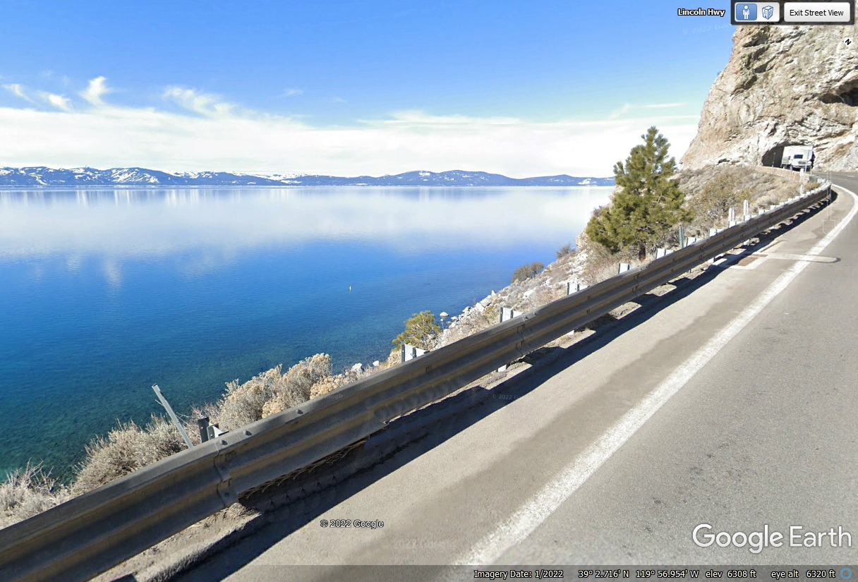
This image below is an extension of the image above to the
LEFT (WEST) of that image.
This is the last of FOUR images after the tunnels to provide a wide panoramic
view of Lake Tahoe looking north and west from this Google Earth camera vehicle
location on US 50.
This is the beginning of a housing area on US 50 with homes on both sides
of the highway for about 1.5 miles. Homes on the north side of the road
are near the lake. Views of those homes are limited by the tall trees on
both sides of the highway.
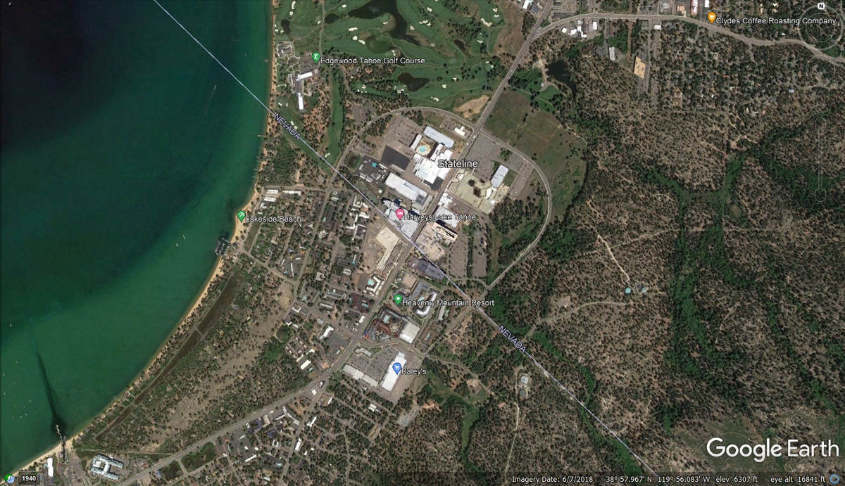
This Google Earth aerial image reveals both towns on the south shore of
Lake Tahoe. The town of State Line, Nevada is marked by Google Earth in
this image.
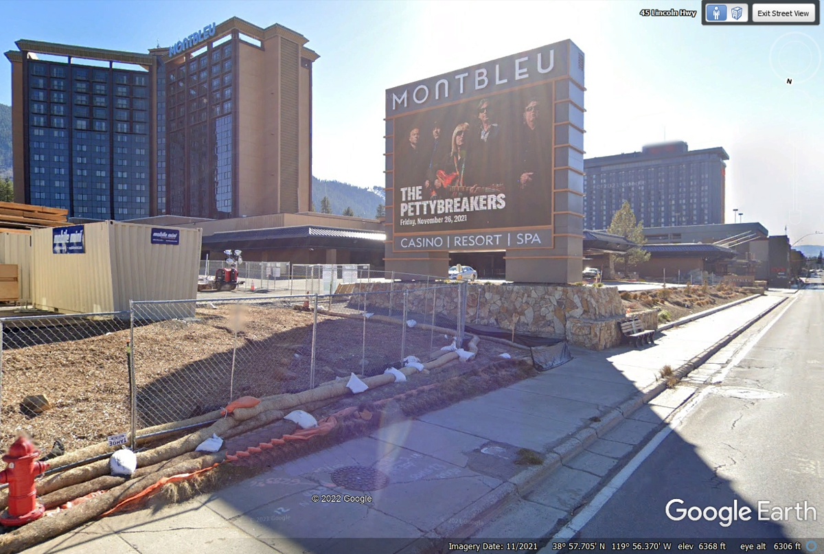
Just across US 50 and a little bit beyond the Hard Rock Casino is the
MontBleu Casino Resort.
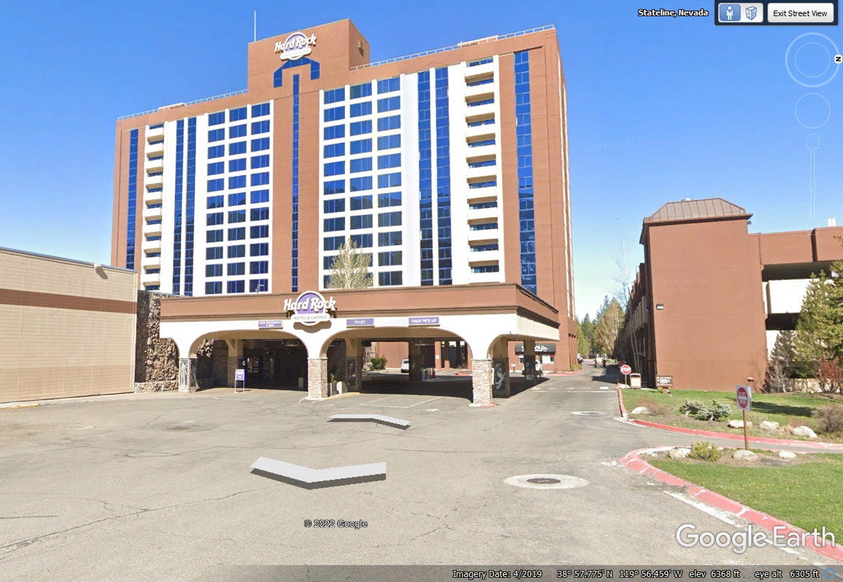
The Hard Rock Casino in the town of State Line, Nevada is the first of the
high-rise motels and a casino.
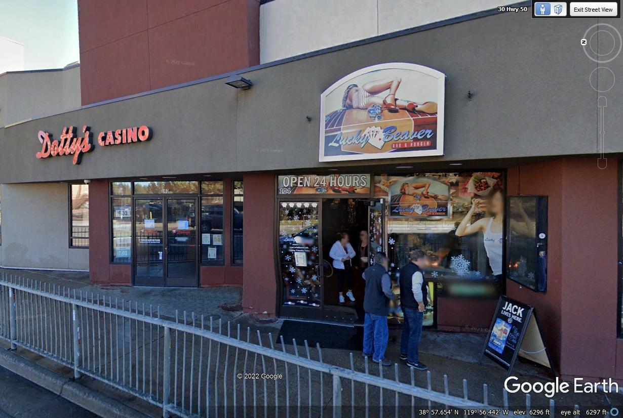
Dotty's is a local casino with the Lucky Beaver BAR &
BURGER next door OPEN 24 HOURS.
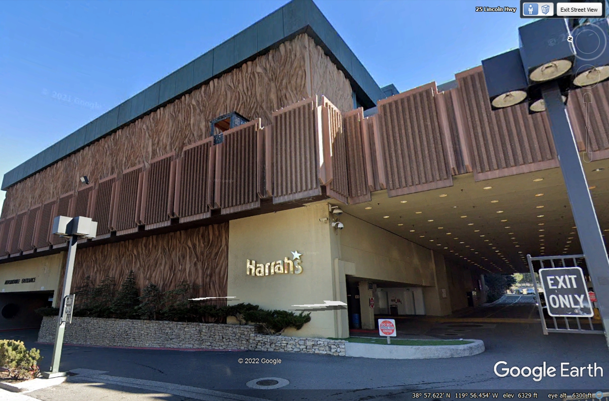
Harrah's has this location in State Line, Nevada and their main facility
in Las Vegas, Nevada.
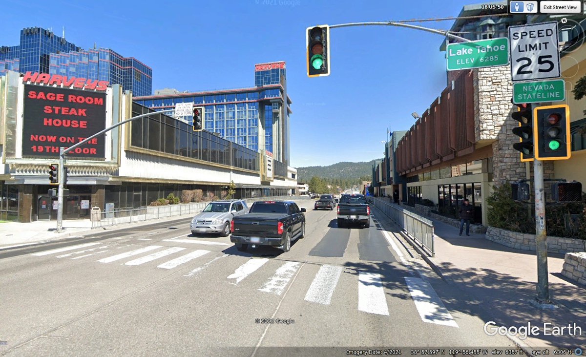
This Google Earth image shows the Nevada state line looking East from
California on US 50.
This next entry is about our trip going WEST into California.
| LEAVE NEVADA, ENTER CALIFORNIA - PAGE 28 | RETURN TO WESTERN TOUR INDEX PAGE |