May / June 2022 Vacation Day 8 · · PAGE 17.
May 30, 2022: Today we
continue our trip north toward the SOUTH RIM of the Grand Canyon. This
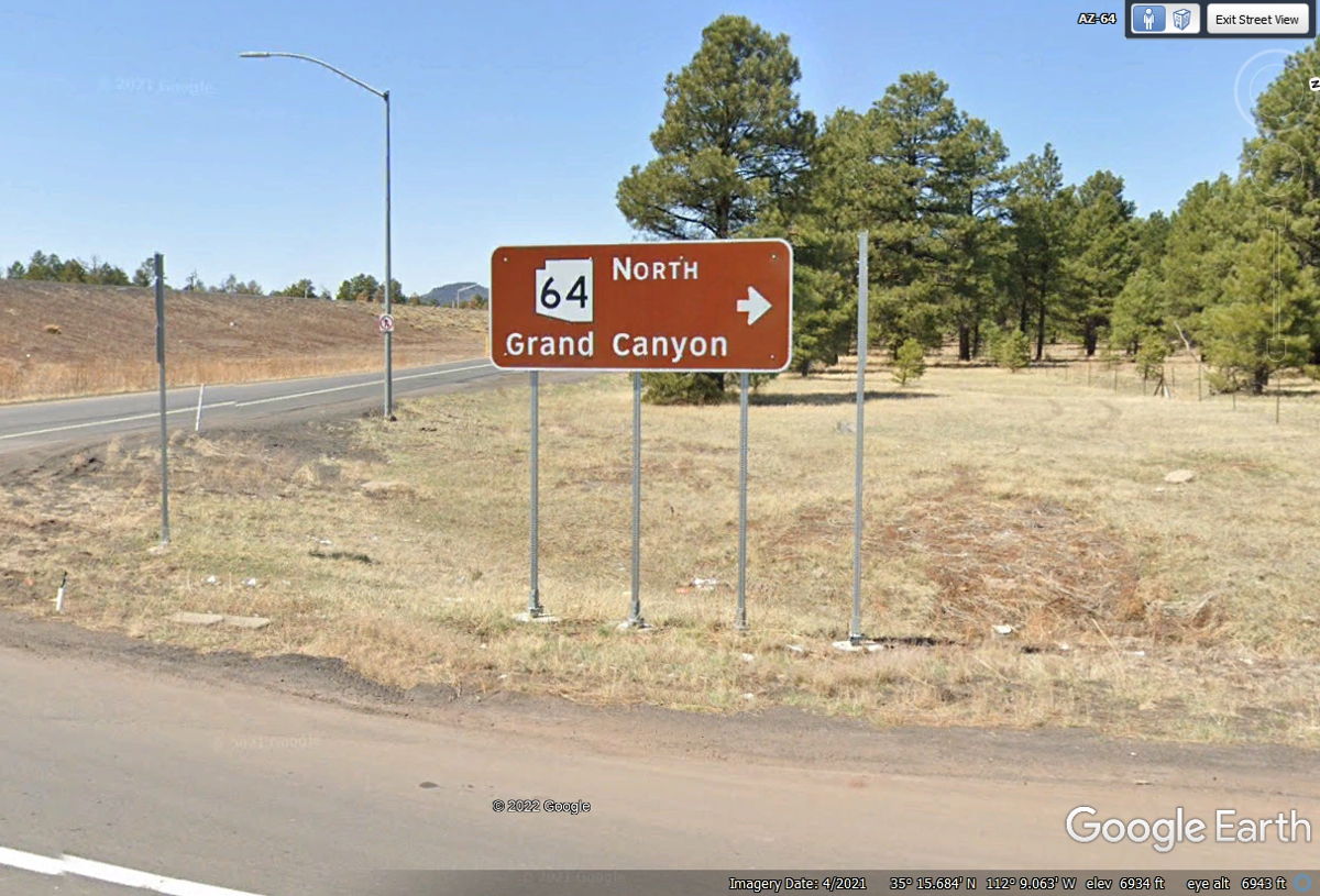
foray begins with a 32-mile ride on I-40 west until we reach exit 165 then turn north on Arizona
route 64. This route is the fastest from Flagstaff with the best roads
going to the Grand Canyon. There is very little change in elevation on this highway and
it fairly
straight going north on AZ route 64. I did some research on this state
highway. Arizona DOT had thought about extending this highway to meet up
with US 64 in the northeast corner of Arizona near the Four Corners. That
did not happen.
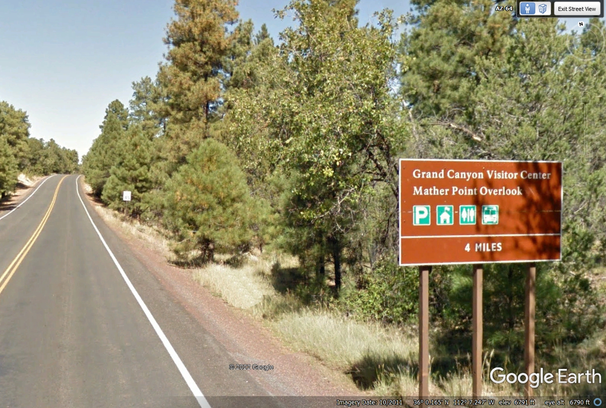
This highway mileage sign gets drivers on the way with expectations of
arrival time, which could be about one hour. Tusayan will slow traffic with
its motels and restaurants on the main highway passing through that community.
Watch the mile markers as we drive this route today.
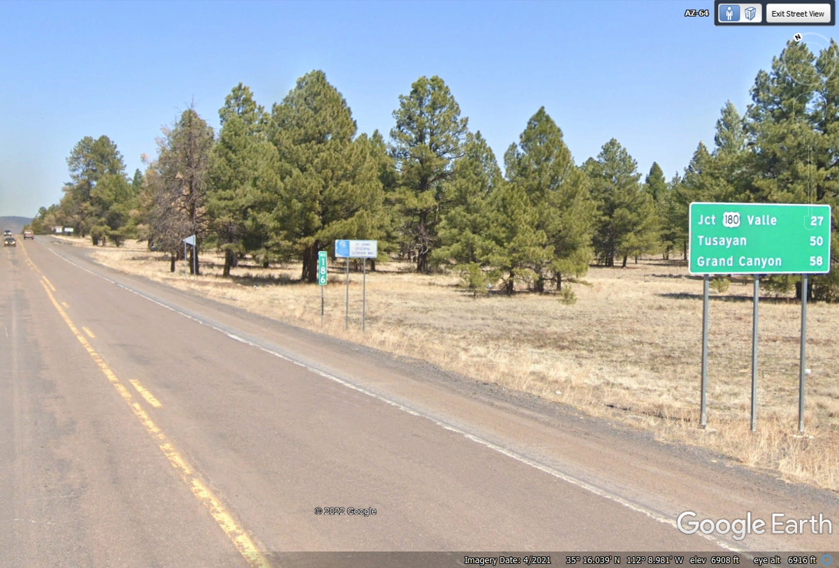
This intersection is known as Grand Canyon Junction located 27 miles north
of I-40. US 180 comes
here from Flagstaff and joins with AZ 64 going up to the National Park. US
180 had some mountains and curves that I chose to avoid in favor of using I-40
and AZ 64.
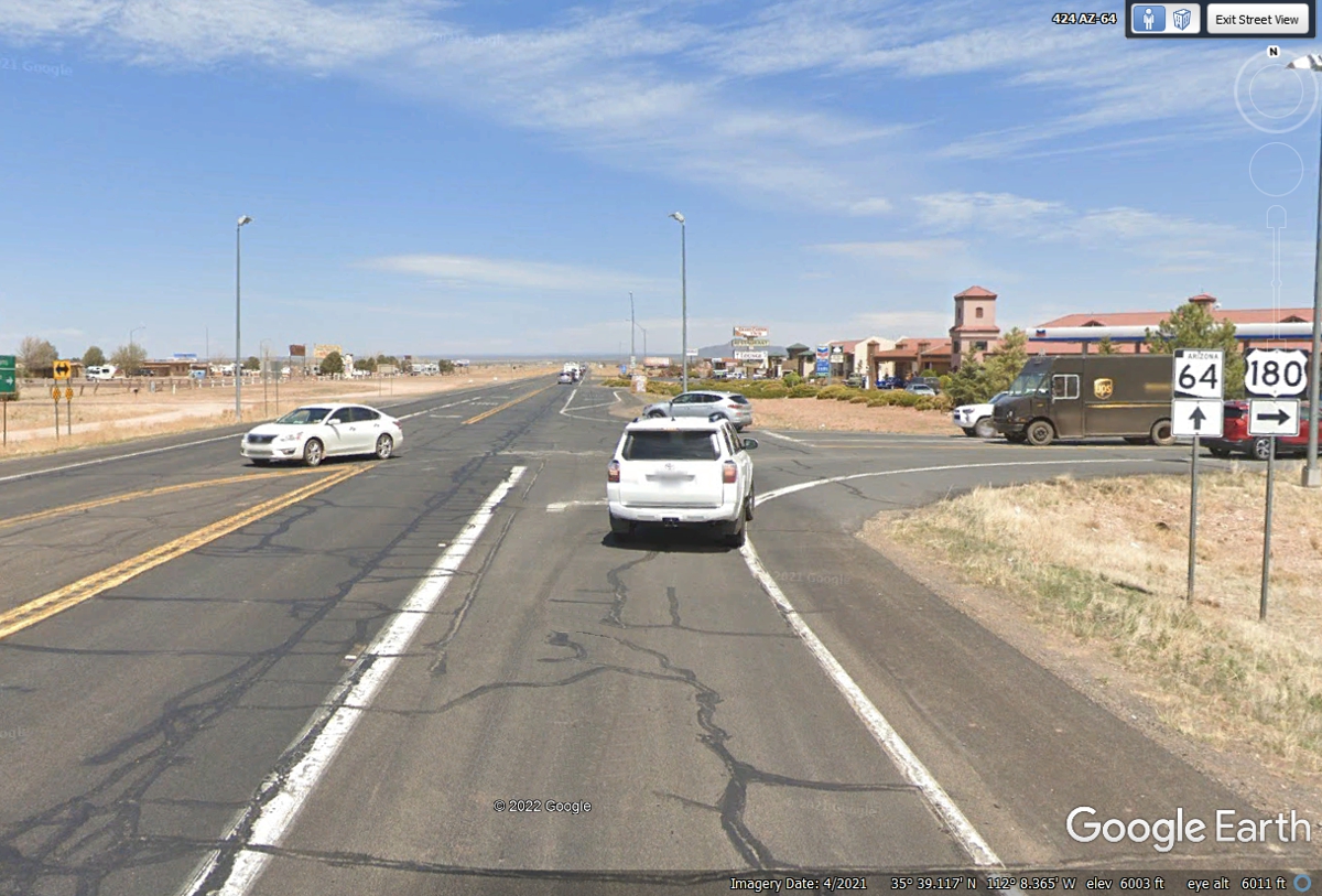
Here is the first road sign for the two routes going north together.
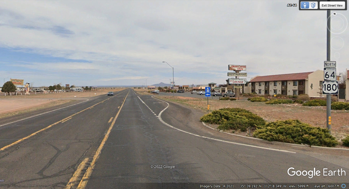
Here is the community of Tusayan, Arizona about 50 miles north of
Interstate 40.
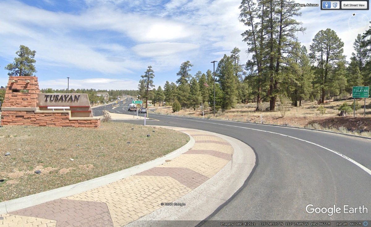
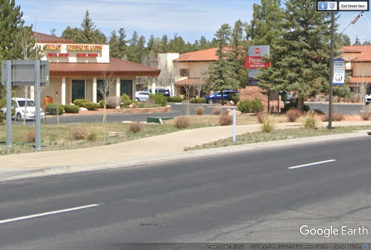
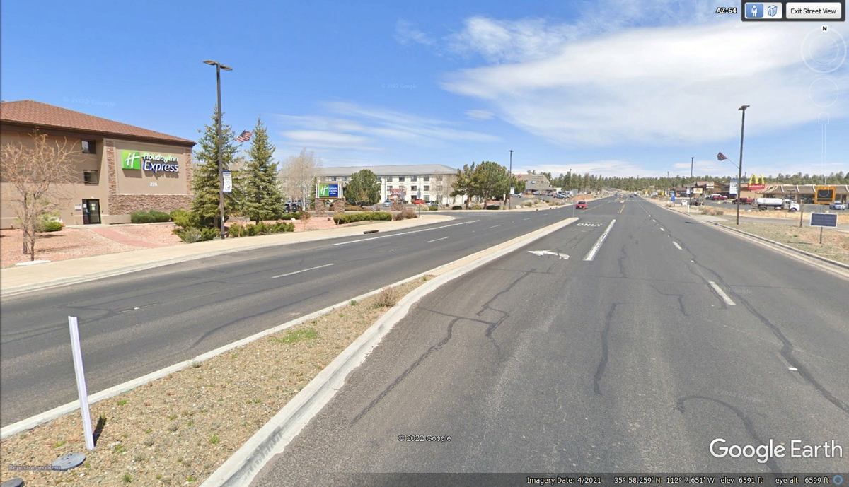
Tusayan has a number of fast food locations and a couple of hotels.
This Best Western Premier is their top-rated hotel.
Holiday Inn Express is also here on the west side of the highway.
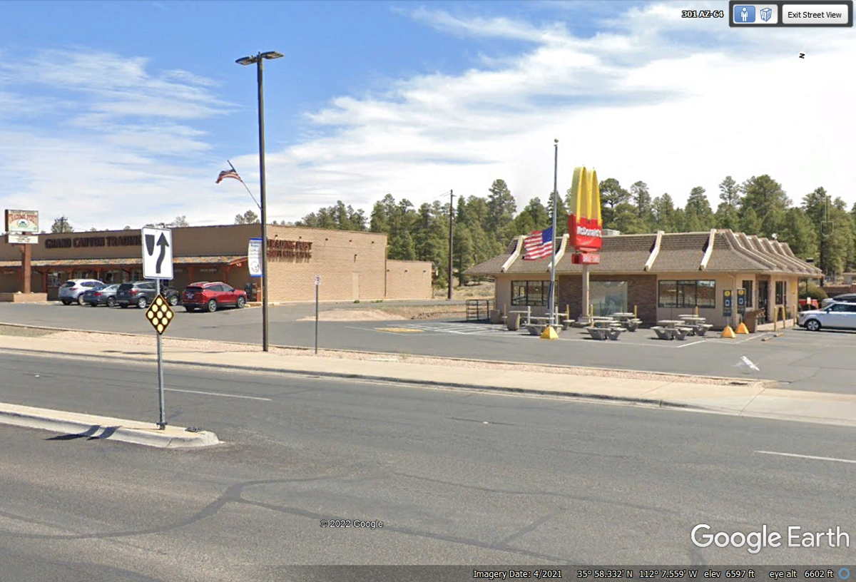
McDonald's is just about everywhere. The Grand Canyon Trading Post
is next door.
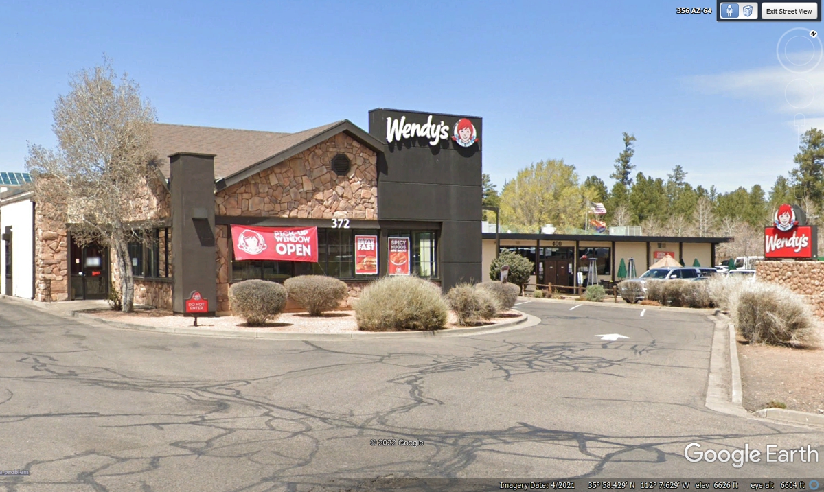
Wendy's was a bit further up the street from McDonalds and on the West
side of the street. "The Pick-Up Window OPEN" sign was during
the Covid-19 pandemic in the spring of 2021 at a time when we had to get our
meals as take out. We passed this way before they opened and it was not
our lunch time anyway.
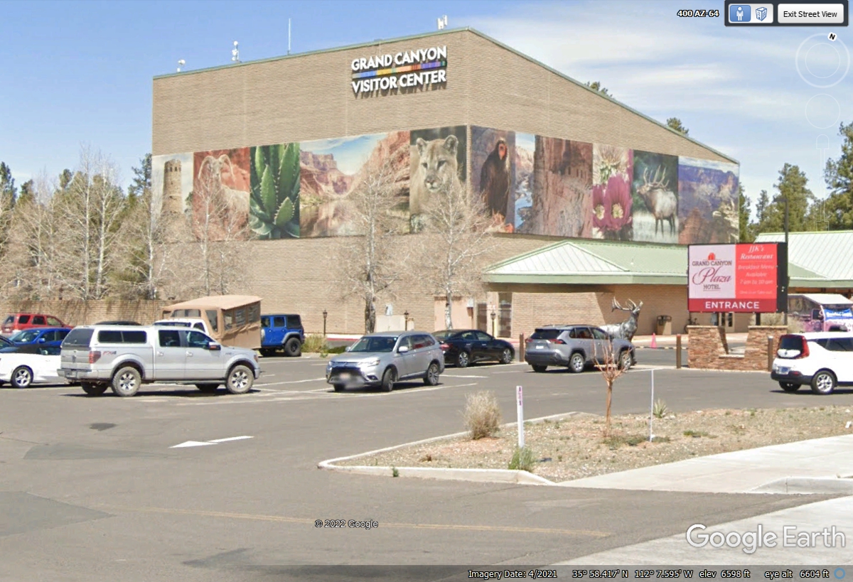
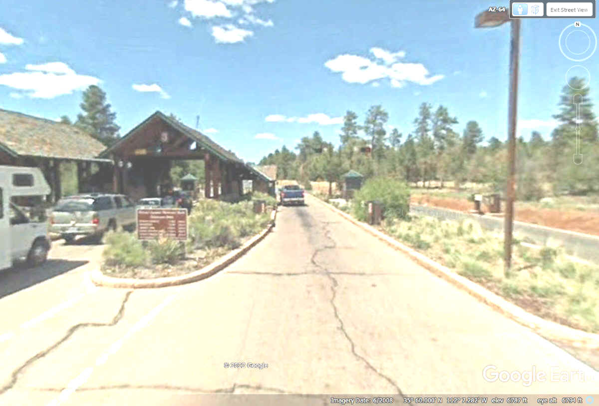
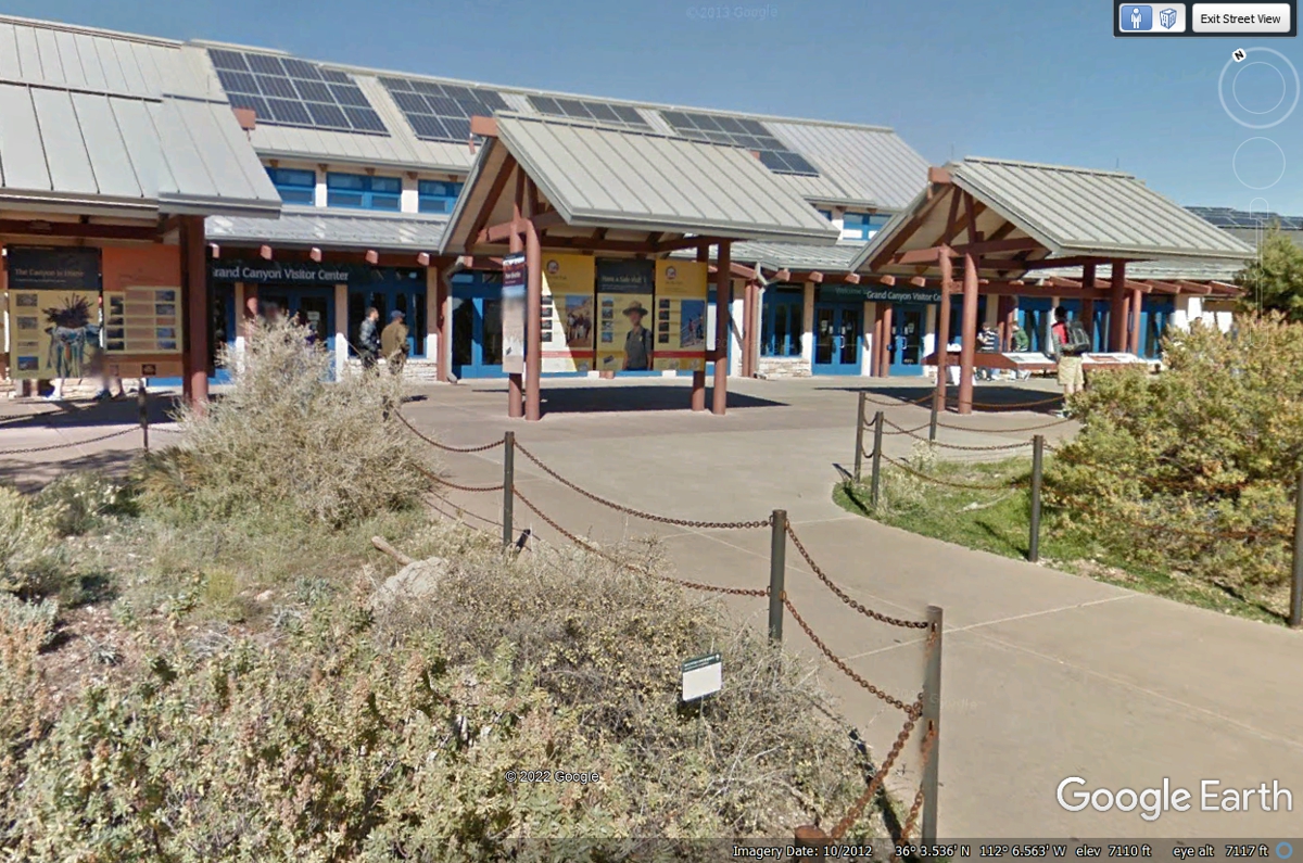
This GRAND CANYON VISITOR CENTER is 1.6 miles south of he National Park
Entrance. It apparently has an IMAX theater inside this building.
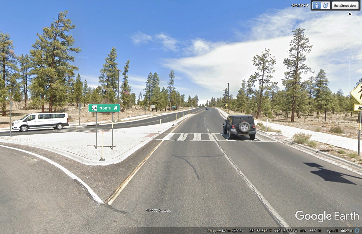
This image is leaving Tusayan at the north end of the community for the
final 1.5 miles to the south gate of the Grand Canyon National Park.
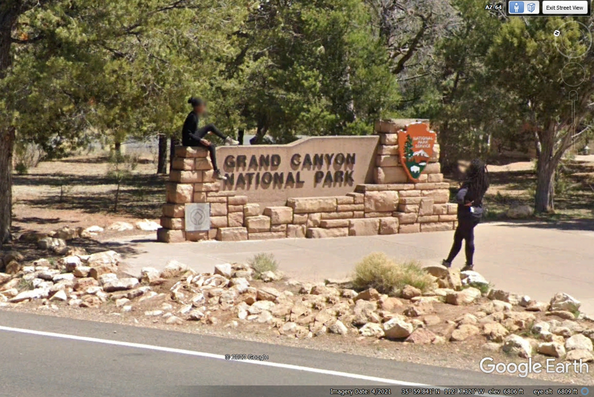
This is the Grand Canyon National Park boundary marker for the south
entrance to the park on AZ route 64. These two folks are taking their
pictures as ornaments for the sign.
This is the south gate entrance to the Grand Canyon National Park. I
have my National Park annual pass and my Florida Veterans driver license to show
at this gate for entry.
The Park Ranger checks for annual passes or any admissions purchased
before arriving here. I will present my Military annual National Park pass
and my Florida Driver's license with my VETERAN status clearly marked.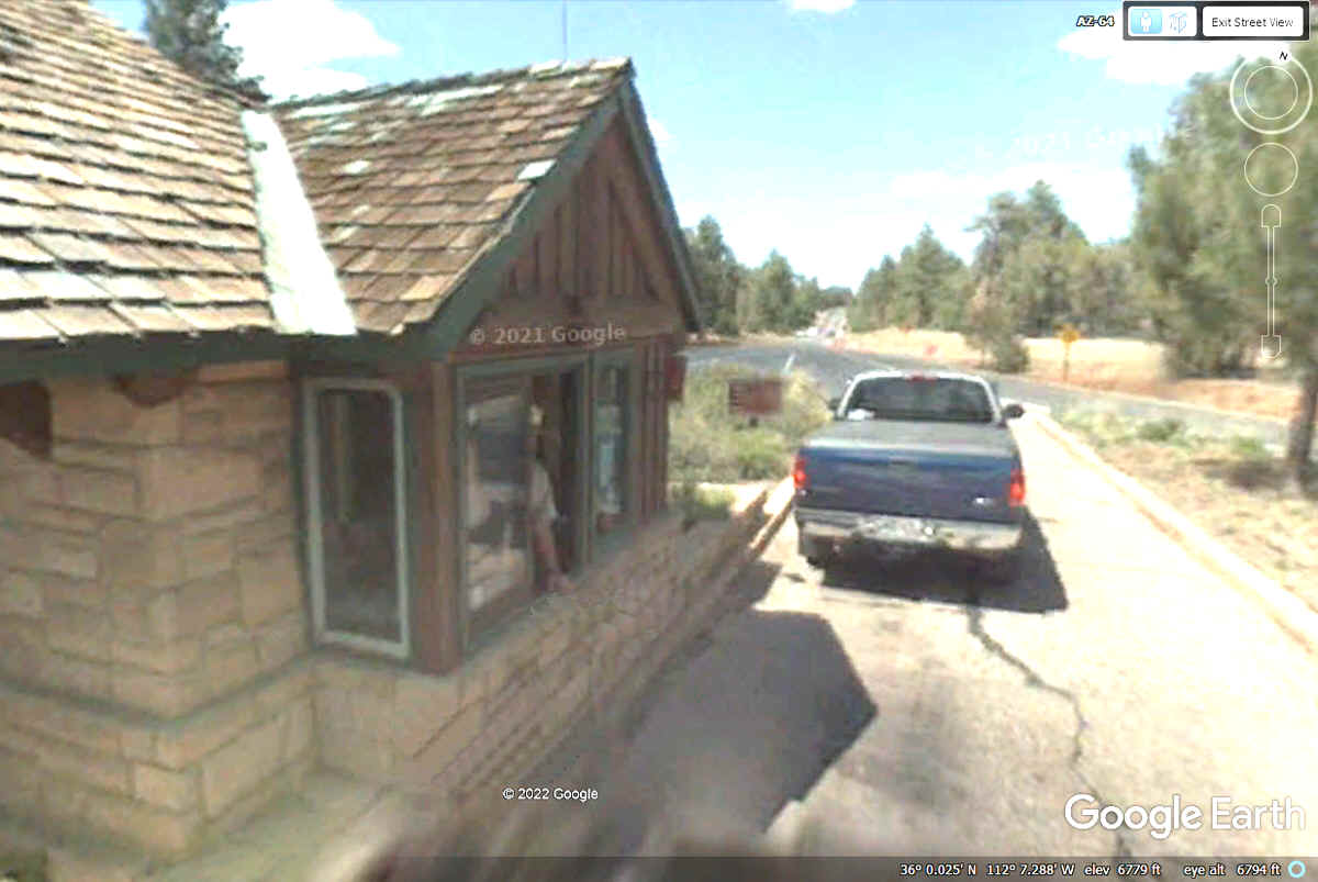
The Visitor Center inside the park is on my list of buildings to visit.
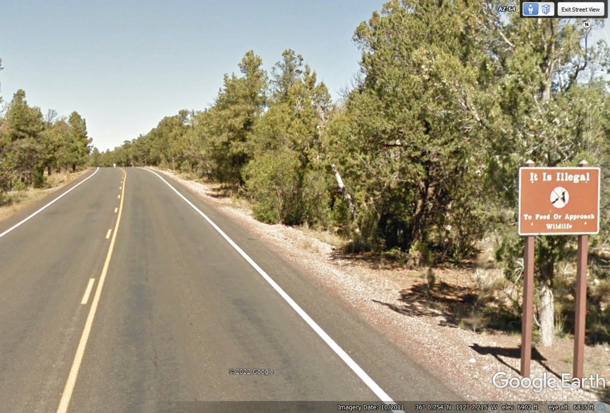
This sign can save your life. Yogi Bear and Bambi do not live
here. Bears and Deer have CLAWS and ANTLERS that can kill you. Be
safe and go home in your car, not in a coffin. The sign says "It Is
Illegal To Feed Or Approach Wildlife" just in case the resolution of the
image below is not clear.
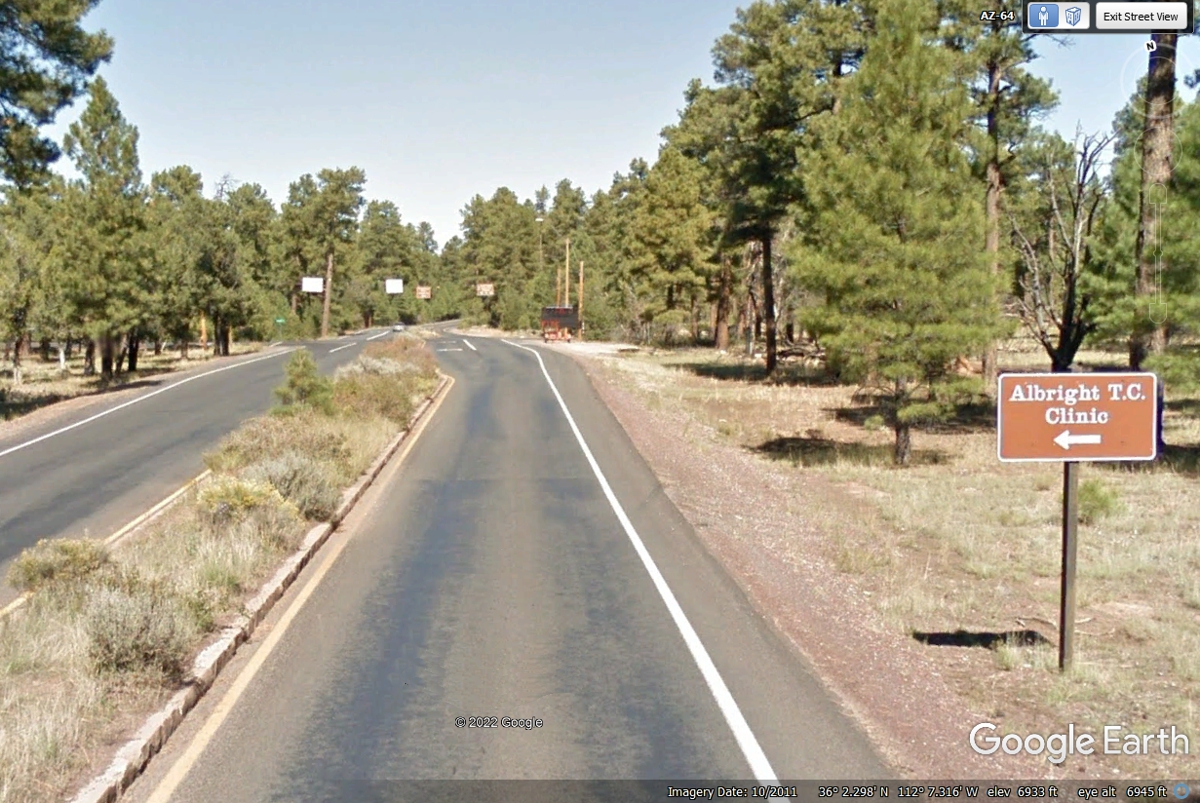
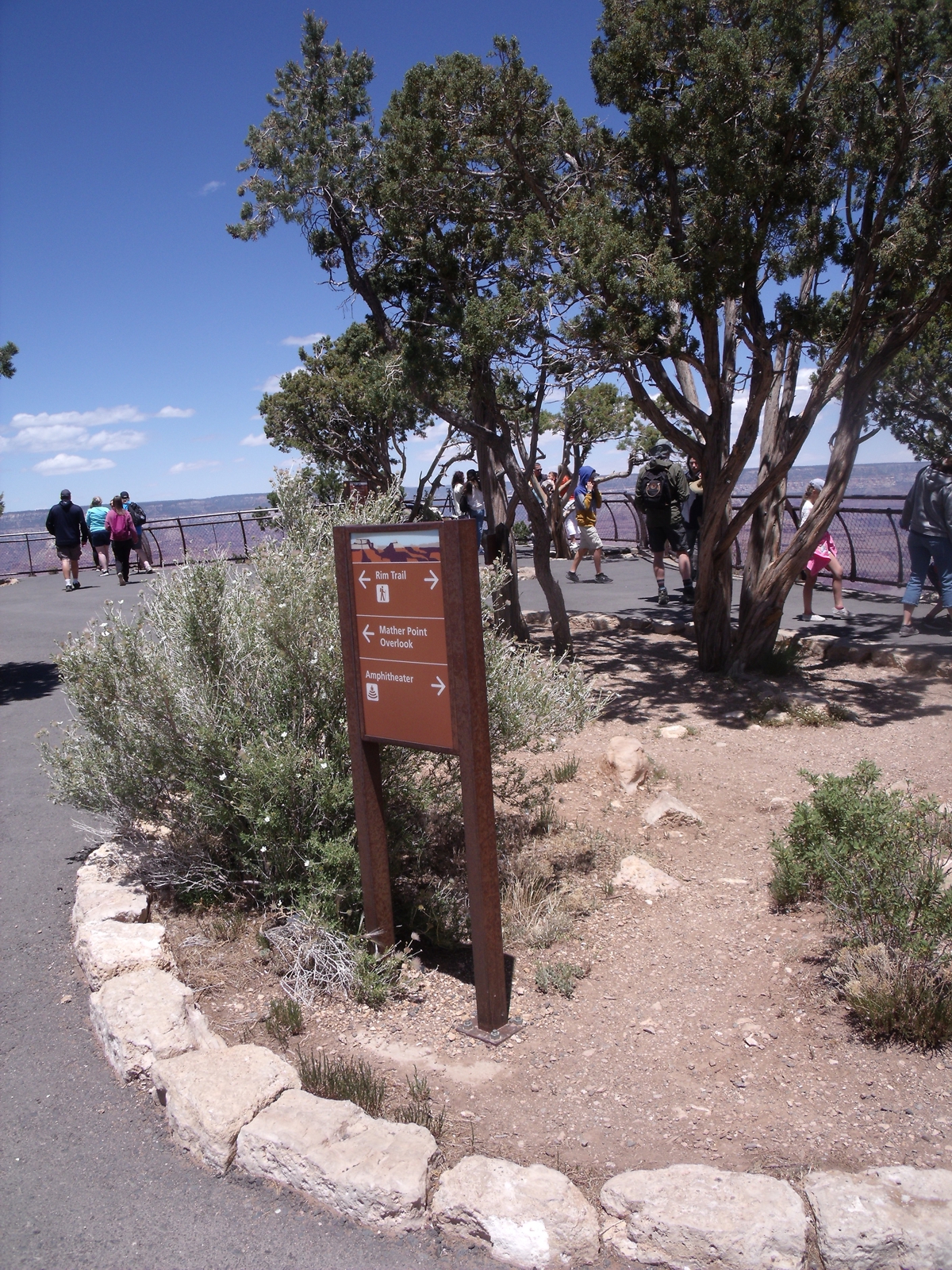
When you see this sign, take the next left turn on Center Road that
takes you to Grand Canyon Village. If you miss this turn, take the next
left beyond this location you can get to the village that way also.
If you did take Center Road, you will find Ranger Operations at 2 Center
Street which is shown in the image below. 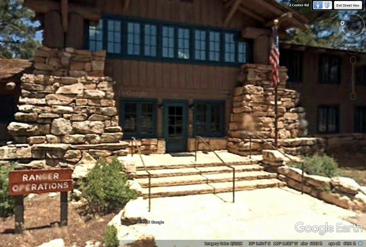
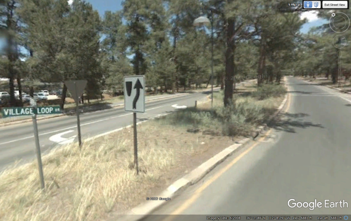
When you reach the end of Center Road just past Ranger Operations, TURN
RIGHT at the Village Loop and it will lead to the train station and much more,
like some of places I have shown in images below this one.
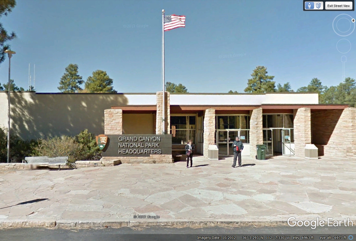
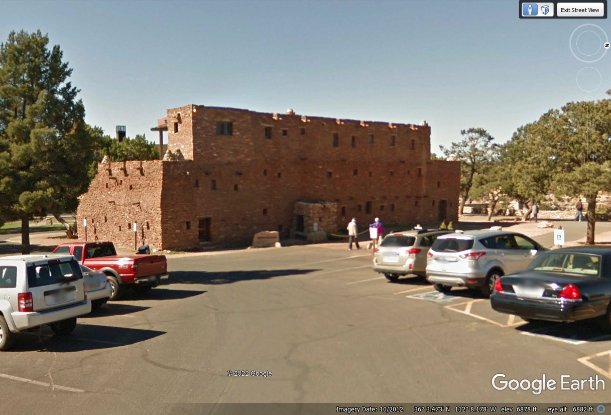
The Grand Canyon National Park Headquarters is in Grand Canyon
Village. Their hospital is nearby in the Village. This Google Earth
image below is from October 2012.
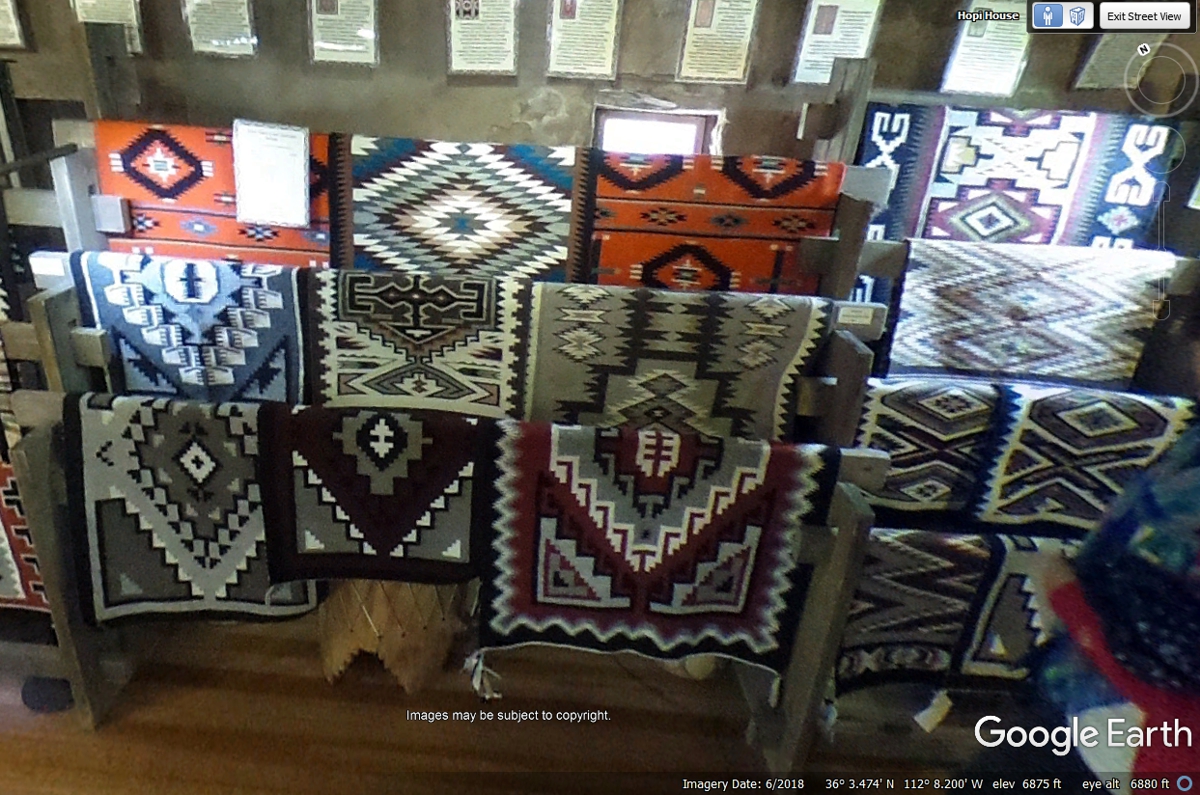
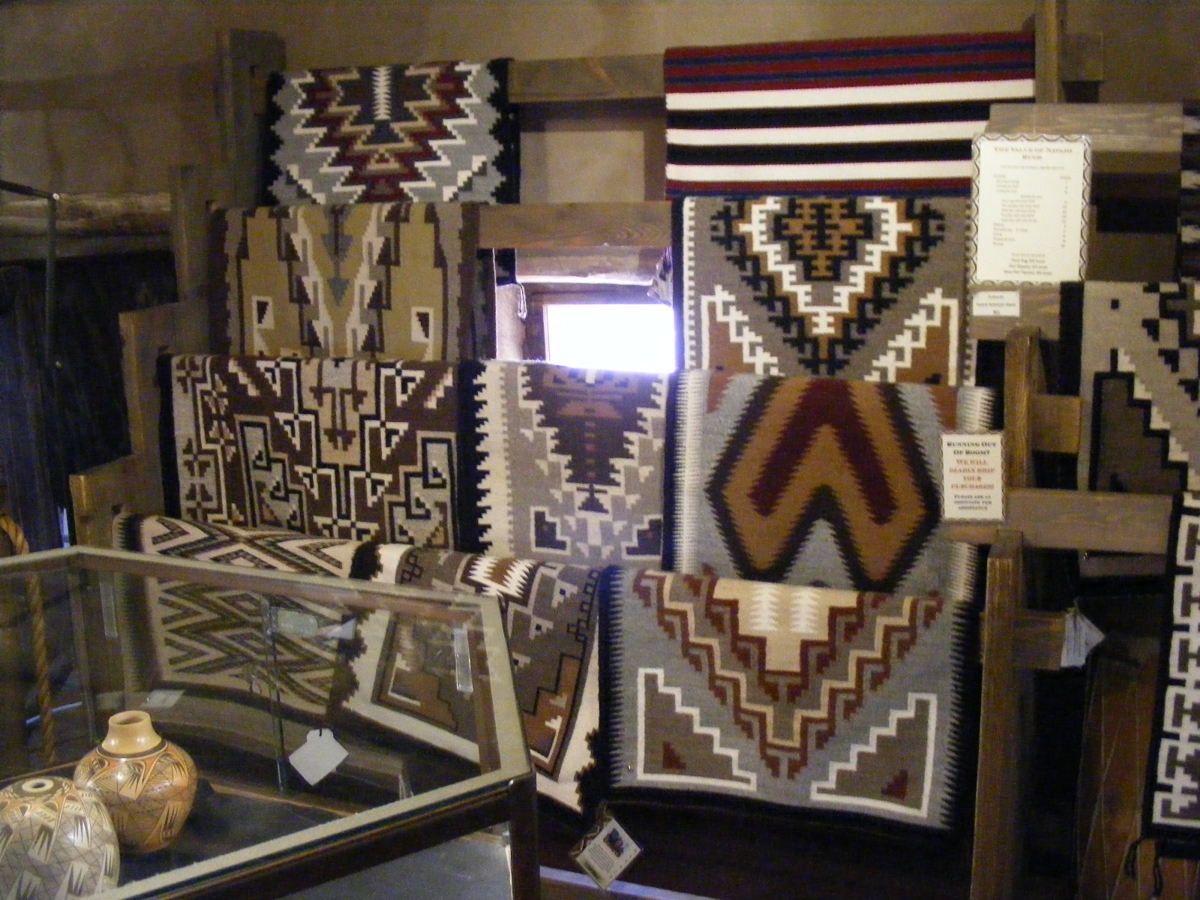
The HOPI HOUSE is full of Hopi Indian hand crafts.
Here are some hand woven rugs in the Hopi House.
These rugs have BIG
PRICE TAGS as they are made by native Americans who live nearby. Nothing
on these racks is imported. Each price tag has a photo of the person who
made these items by hand on their looms at home.
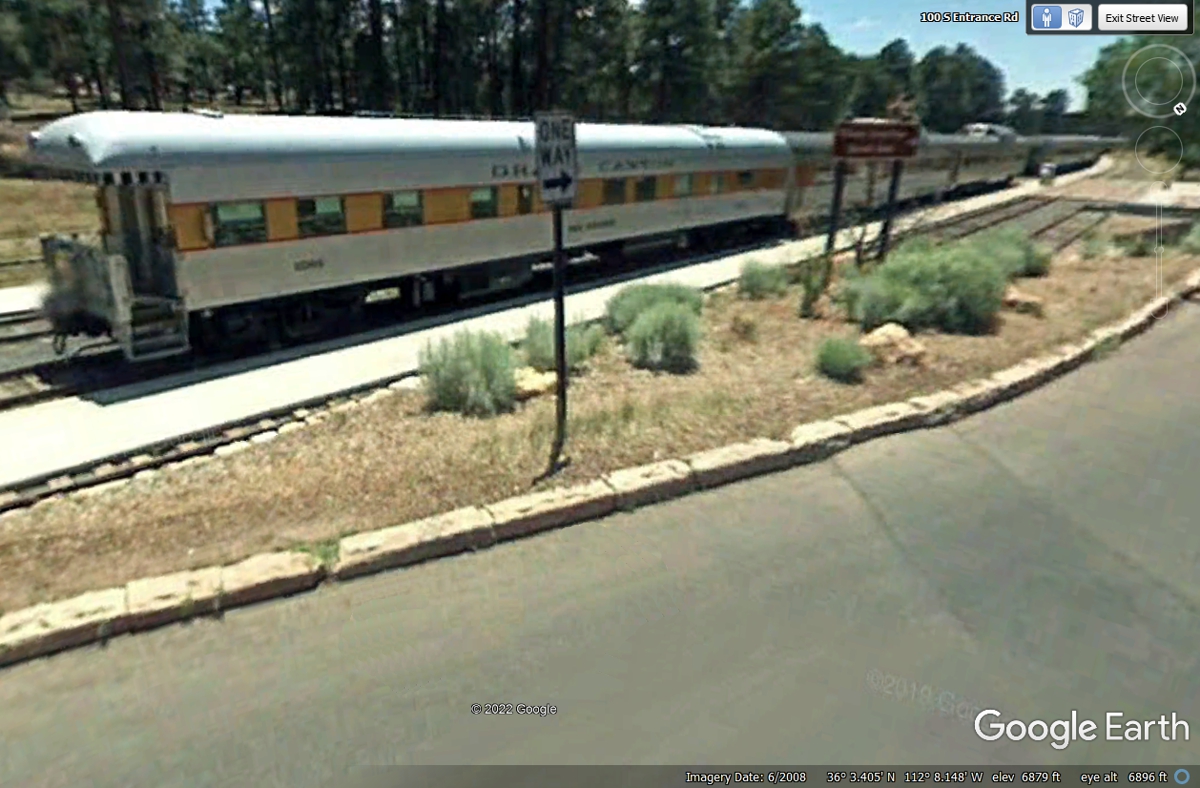
This is the train parked at the station in Grand Canyon Village. It
is ready for
the Southbound trip back to Williams, Arizona down by Interstate 40 near the south
end of Arizona route 64 which comes up here to the Canyon. We saw the
train arrive this day, May 30, 2022 and the free park busses that were waiting
to take the folks to see the sights.
The visitor center here at the village offers brochures and more.
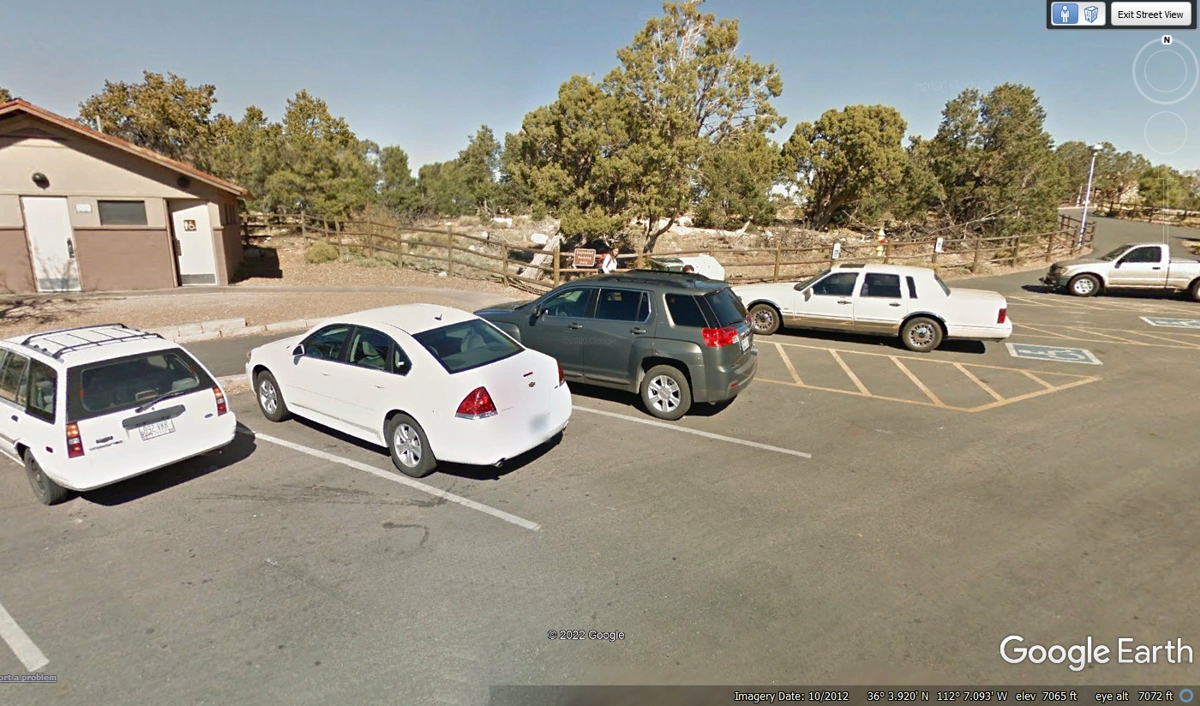
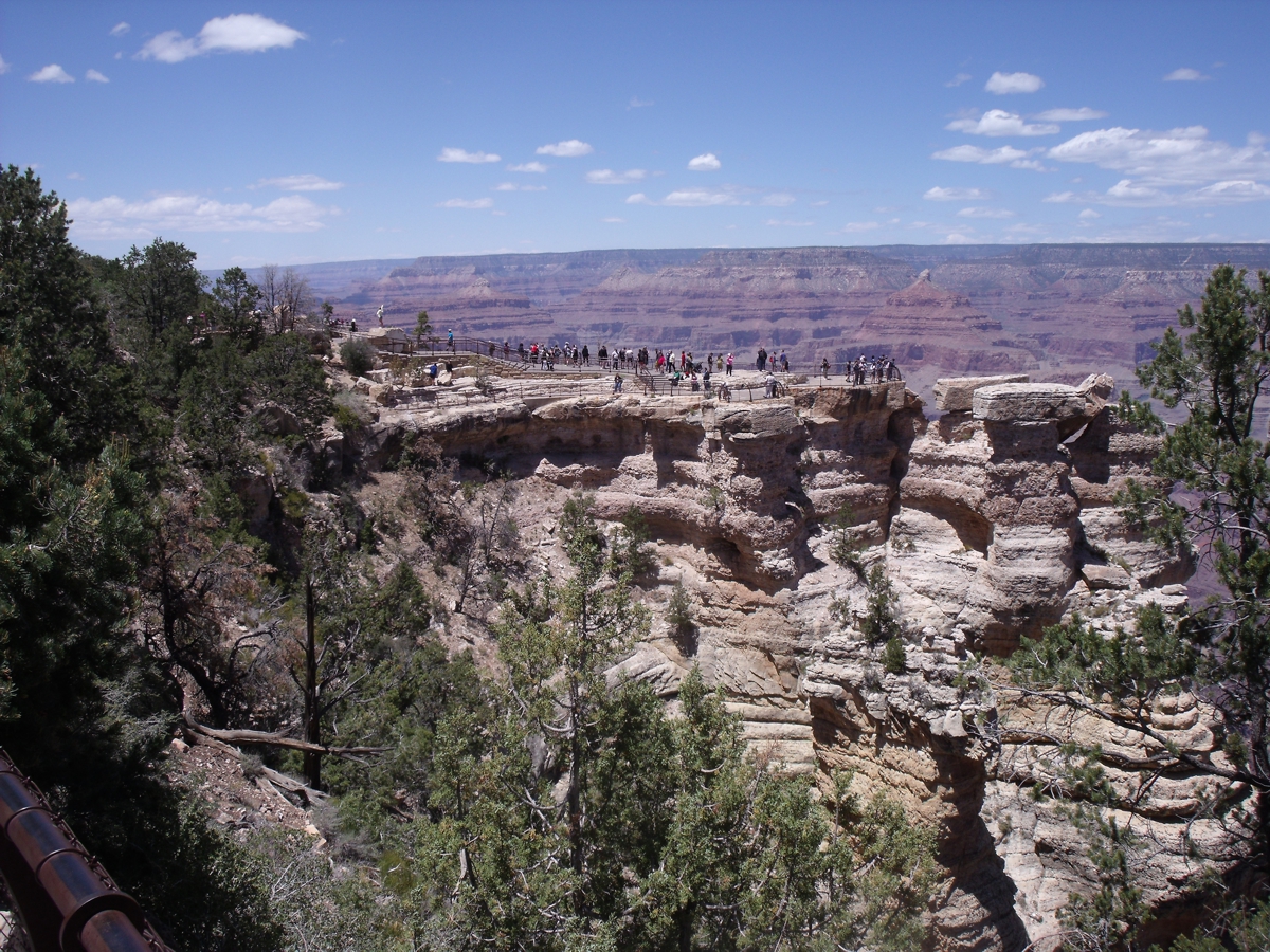
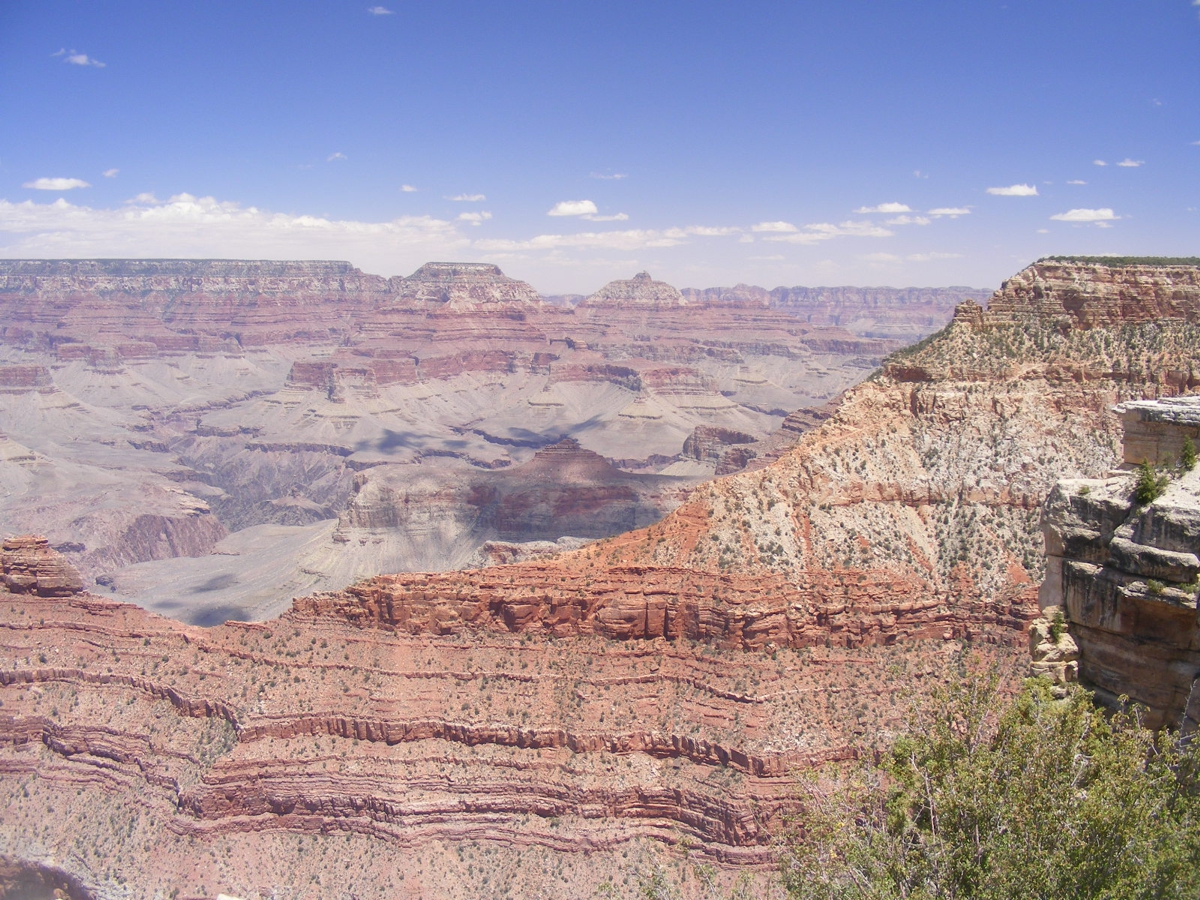
Yavapai Point is at the north end of this parking lot. Restrooms are
located here. The path to the best view point is at the right side of this
image below.
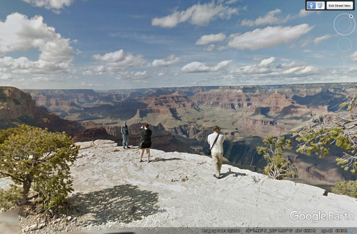
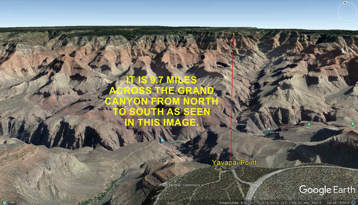
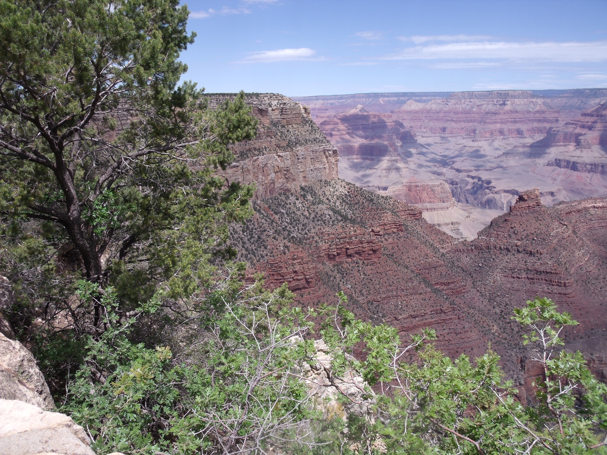
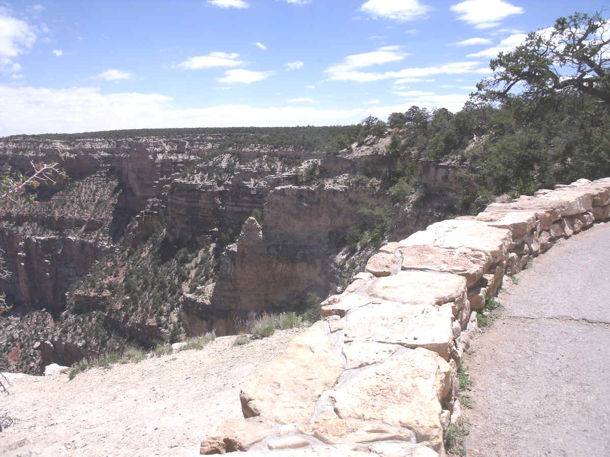
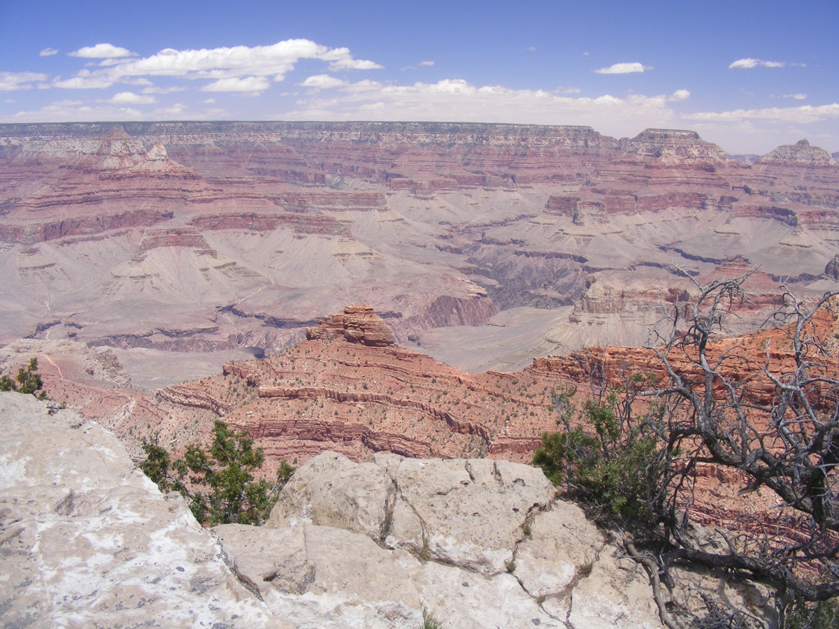
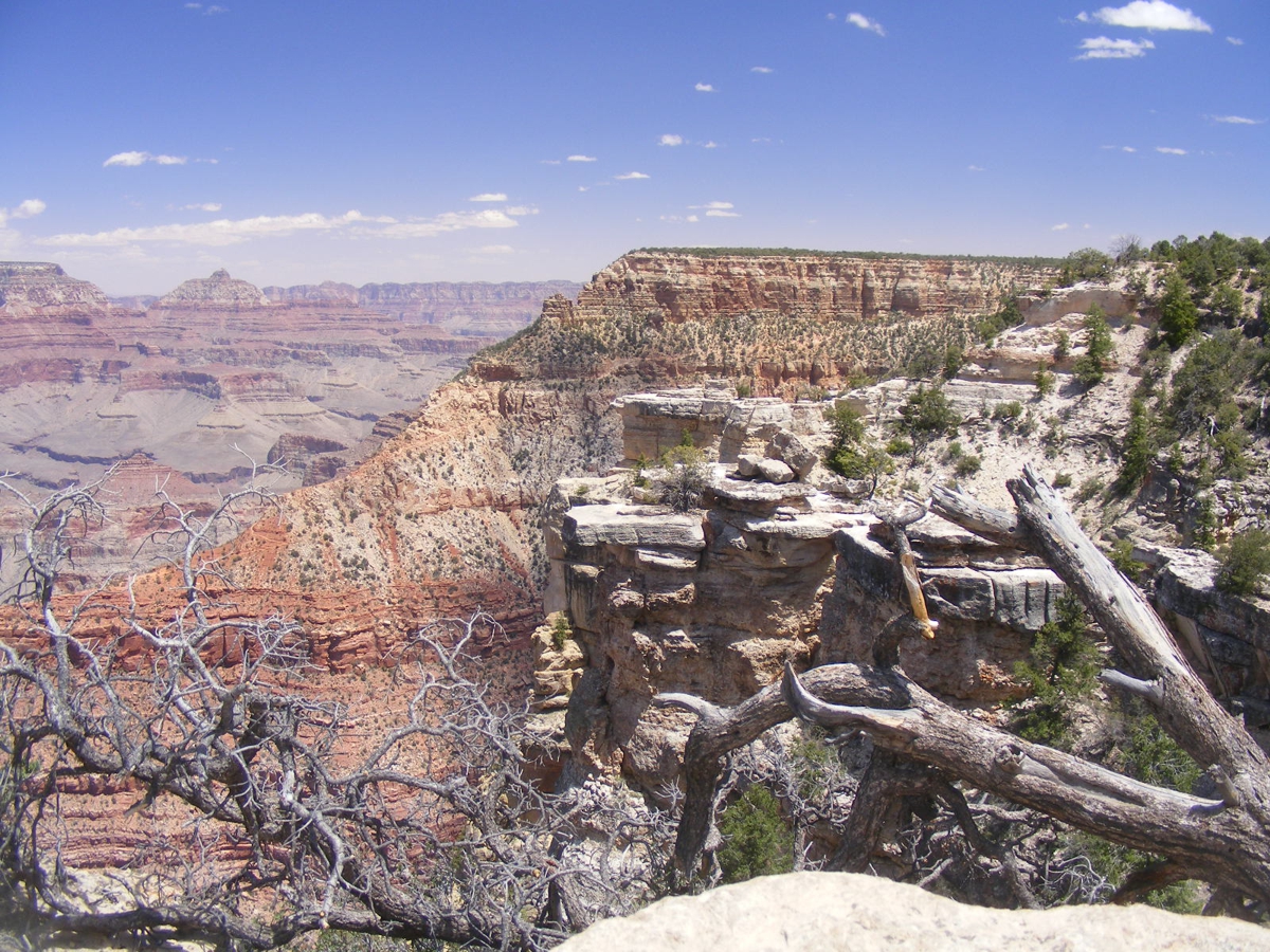
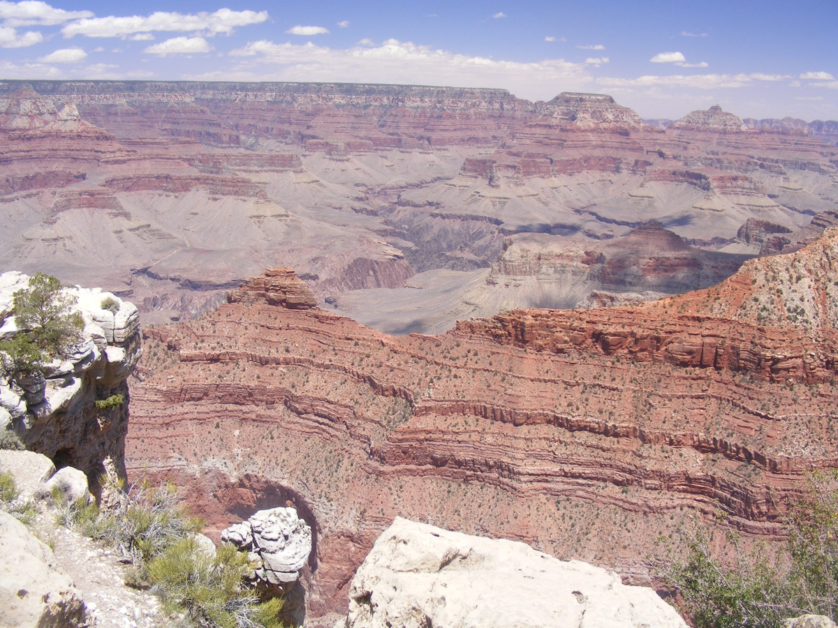
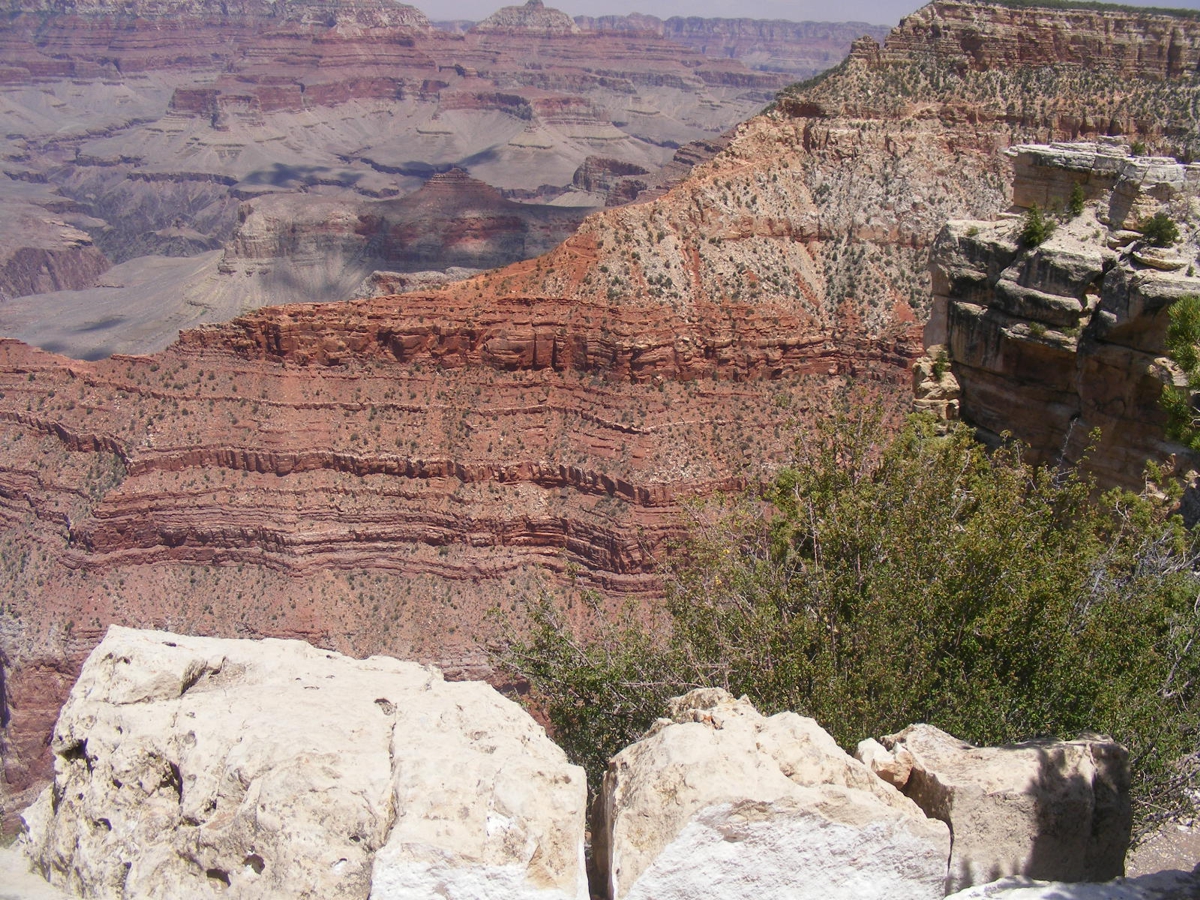
This is just ONE of the VIEWS people come here to see for themselves.
The distance from Bright Angel Point on the north rim to Yavapai Point on
the south rim is 9.7 miles across the Grand Canyon.
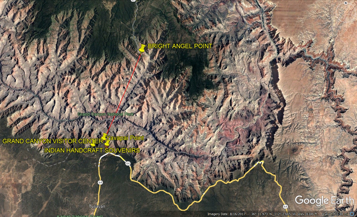
Here is how this distance appears from ground level. Bright Angel
Point is a tiny yellow push pin at the far end of the red line.
Here are photos taken by Linda: 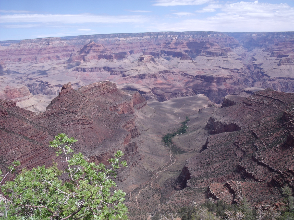
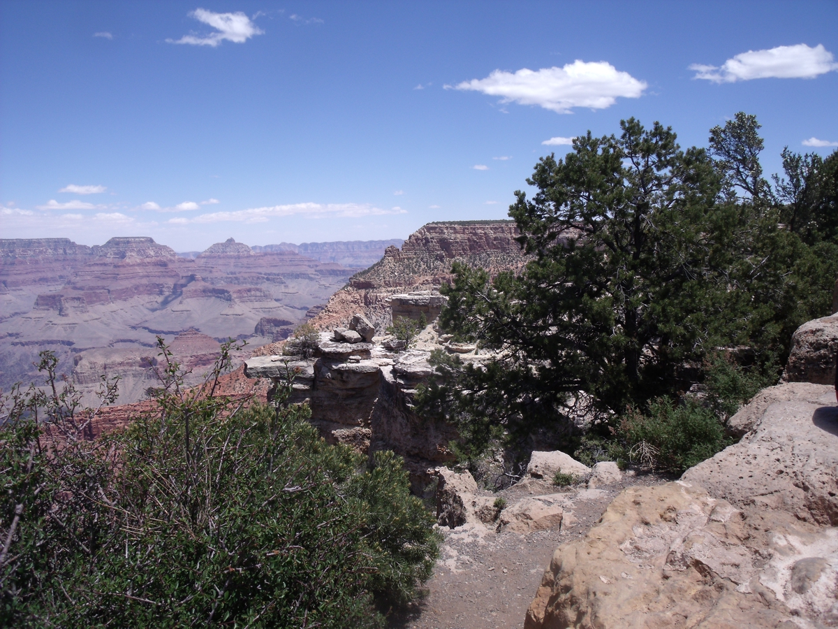
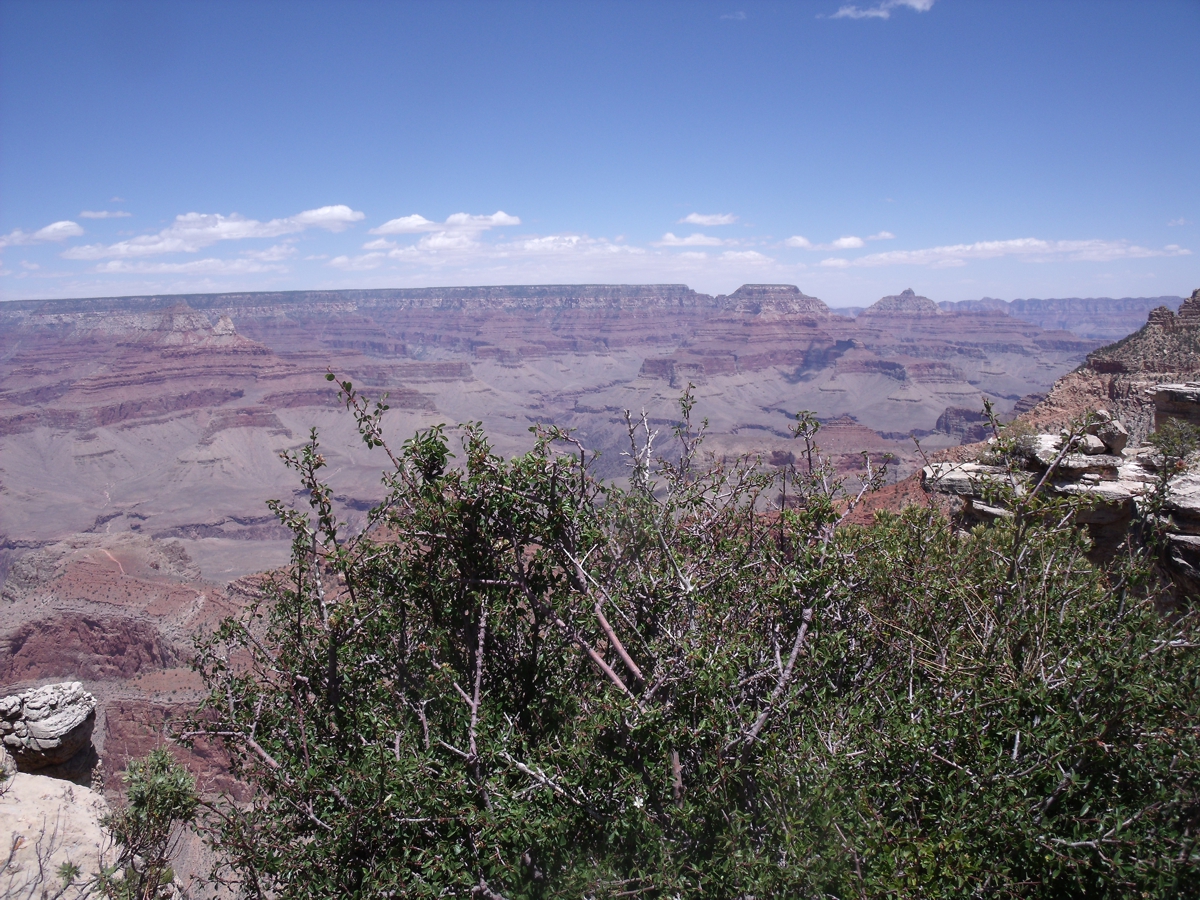
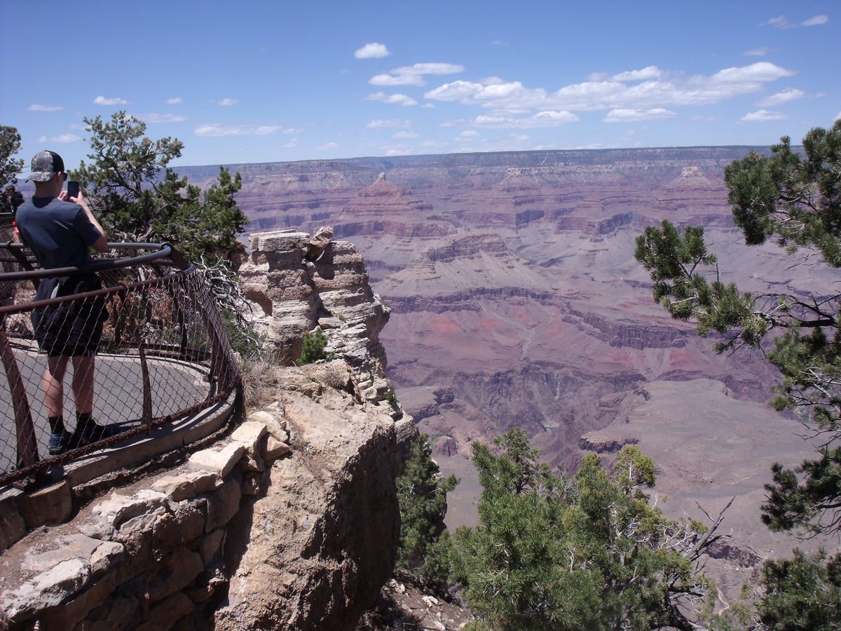
Here are my photos taken at the Grand Canyon:
| DEPARTING THE SOUTH RIM - PAGE18 | RETURN TO WESTERN TOUR INDEX PAGE |