May / June 2022 Vacation Day 6 · · PAGE 16.
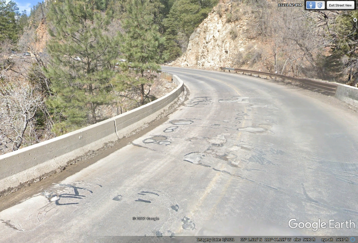
May 29, 2022: This bridge
across "Pump House Wash" is the first switchback turn to climb the
mountain out of Oak Creek Valley.
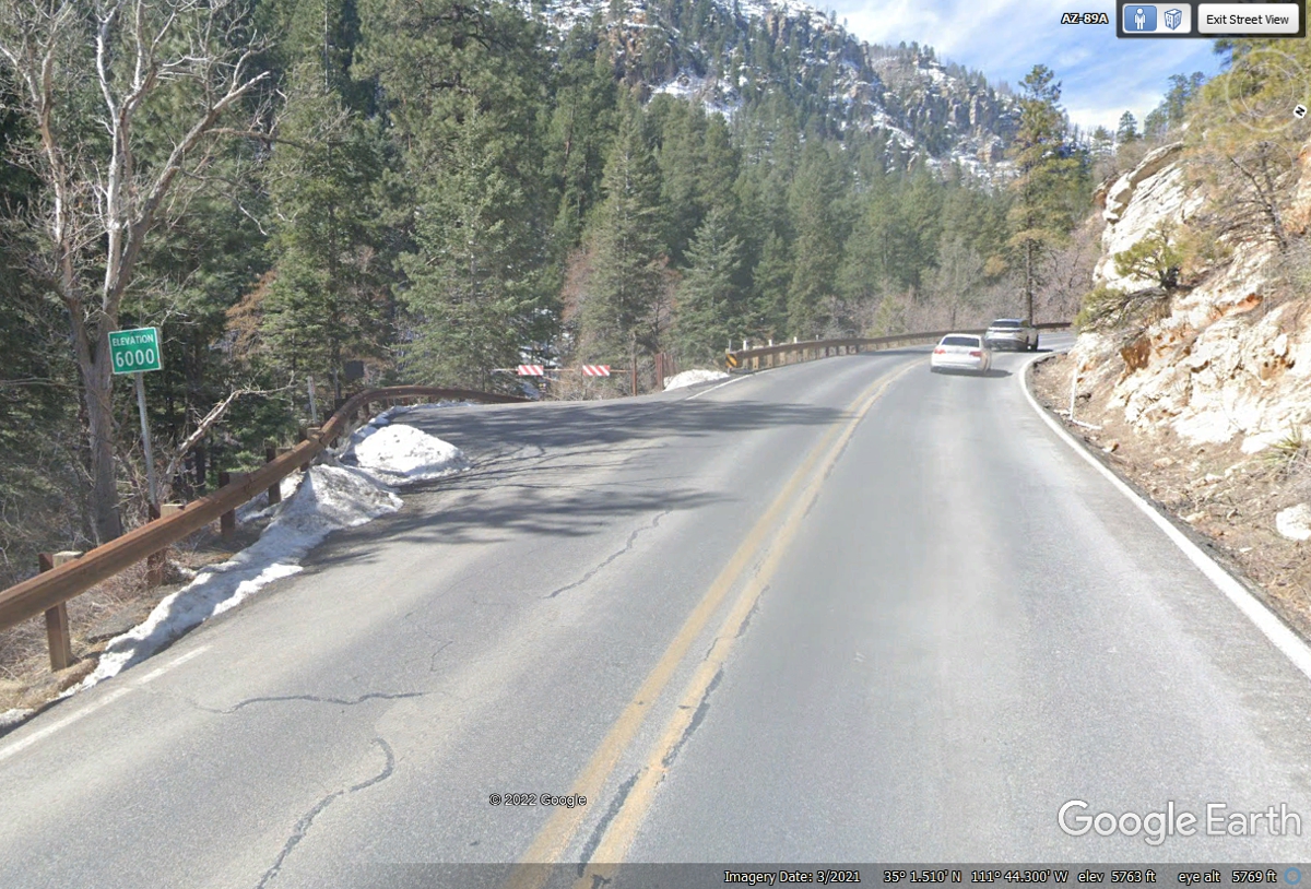
The Arizona Department of Transportation has placed this sign on Route 89A
at their measurement of 6,000 feet above sea level seen here after the first
switchback and climbing upwards.
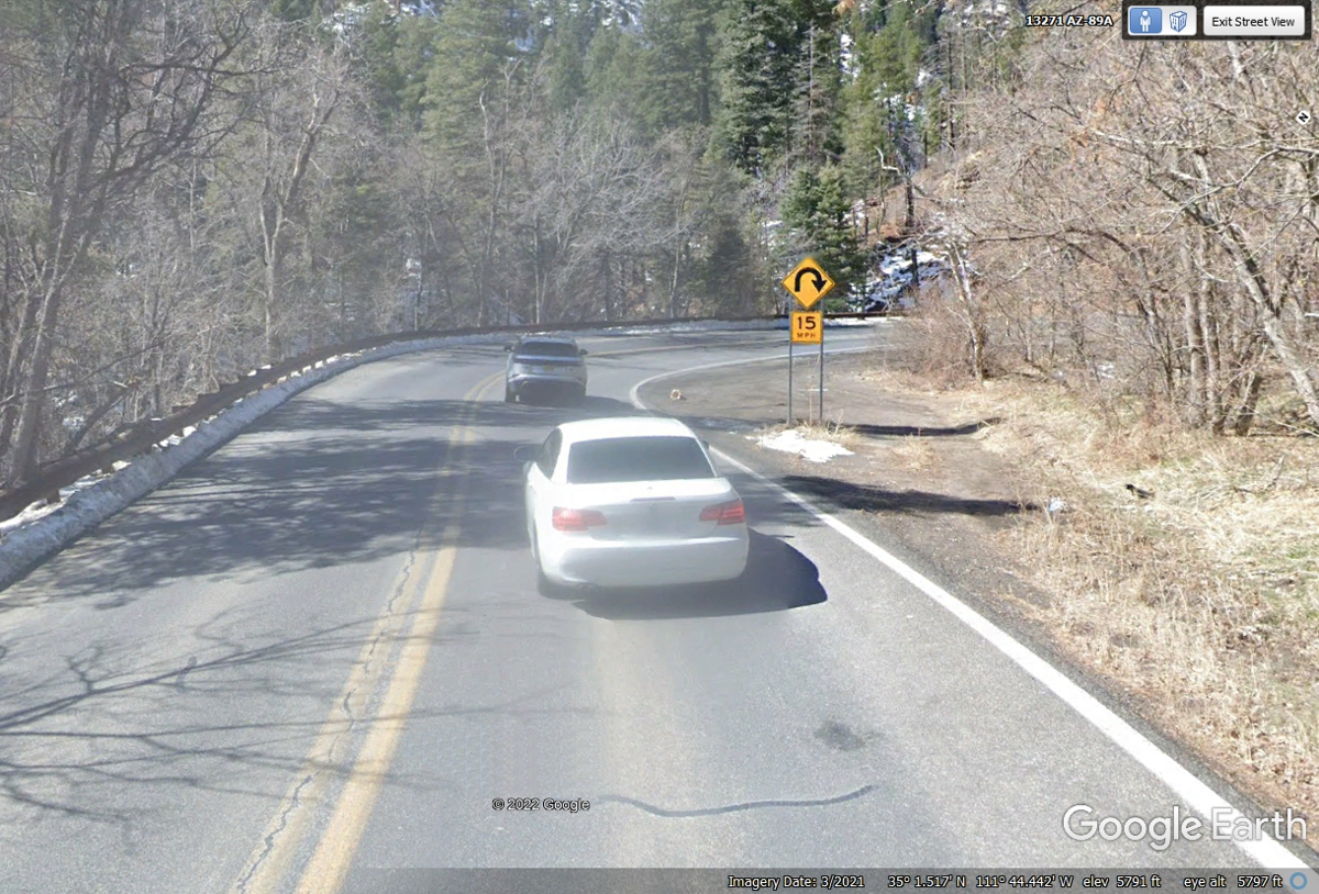
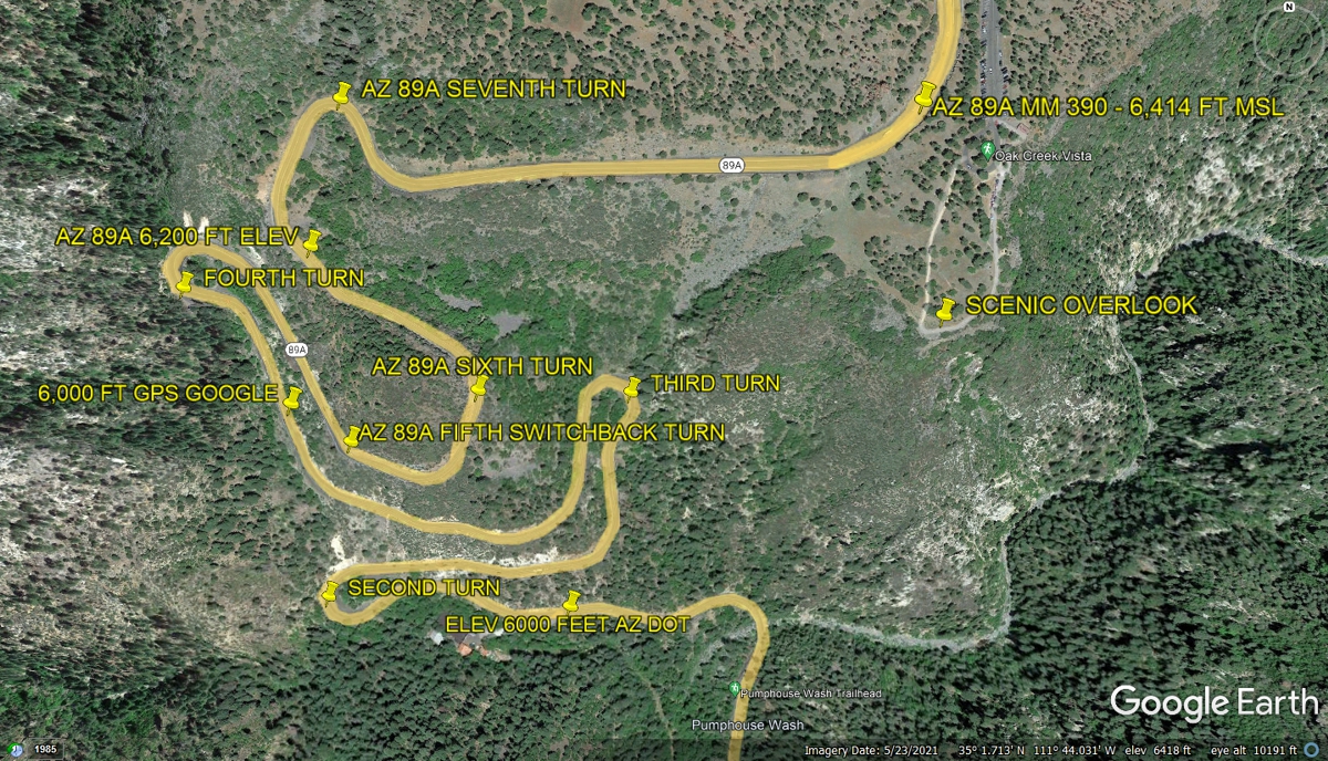
This image is above the 6,000 FT elevation level before approaching the SECOND
switchback sharp turn to climb the mountain.
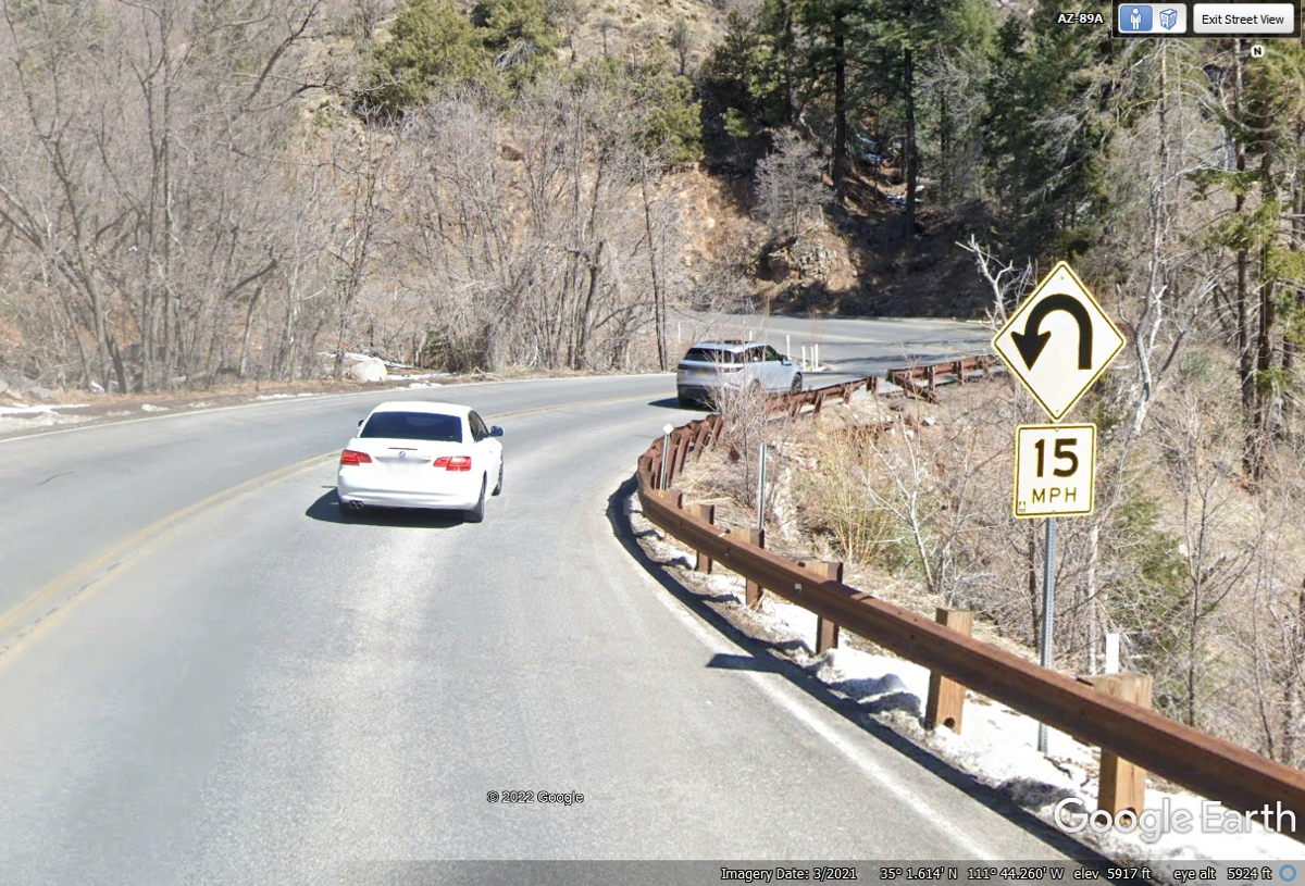
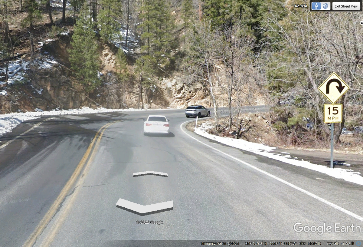
Here is the THIRD switchback above 6,000 feet elevation climbing the
mountain.
Here is the FOURTH switchback turn above 6,000 feet elevation climbing the
mountain.
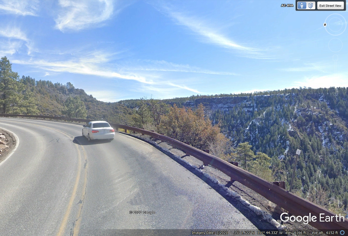
The FIFTH turn is a wider 180-degree turn, not a hairpin turn.
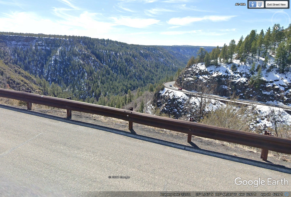
This view is looking back at TURN FIVE from a point after TURN SIX as the
highway heads toward the summit.
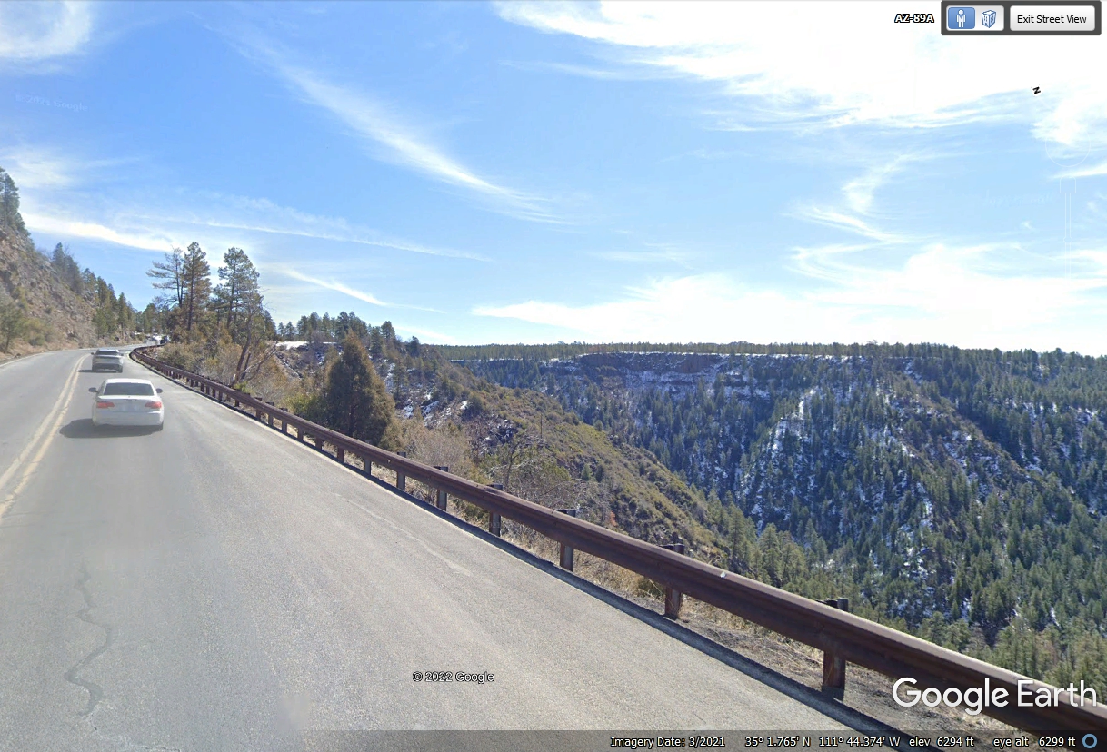
This is the final stretch to the top of the climb out of Oak Creek Valley
and ravines.
This is the final gentle turn toward the top of the plateau and the access
road to the Scenic View location.
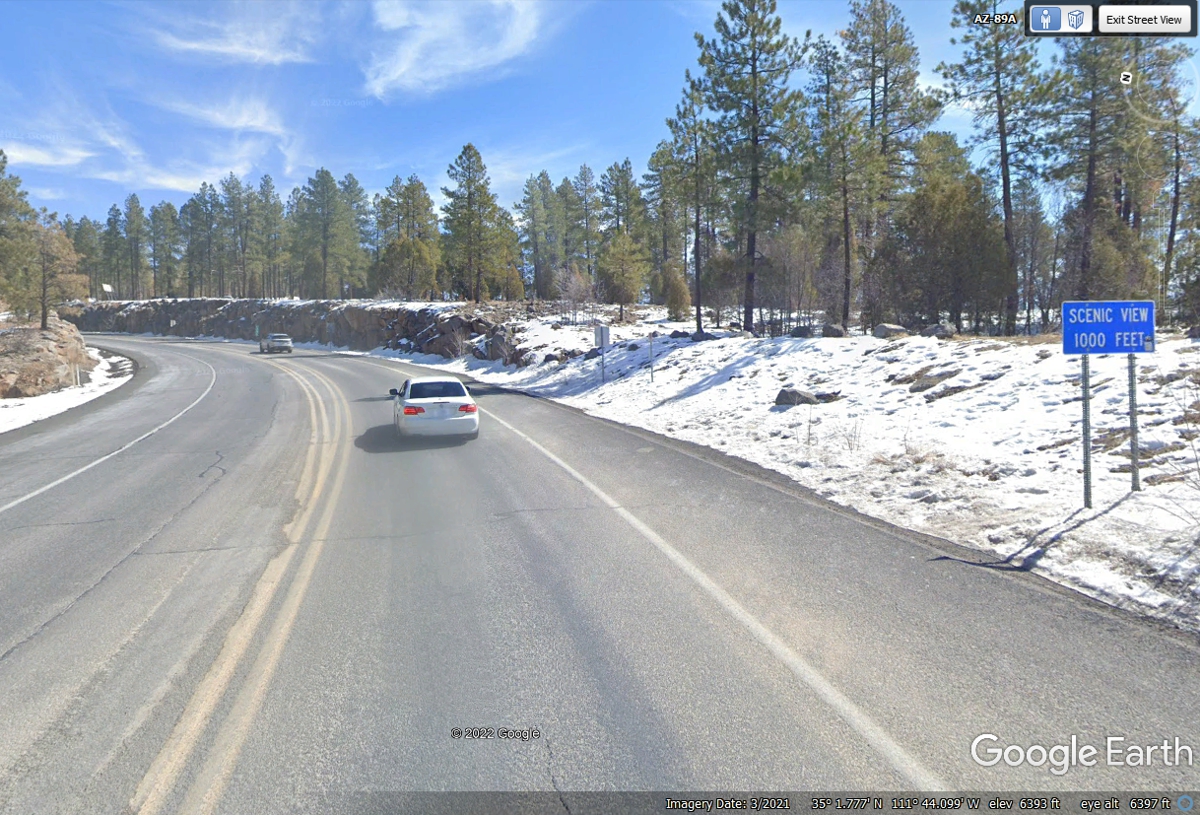
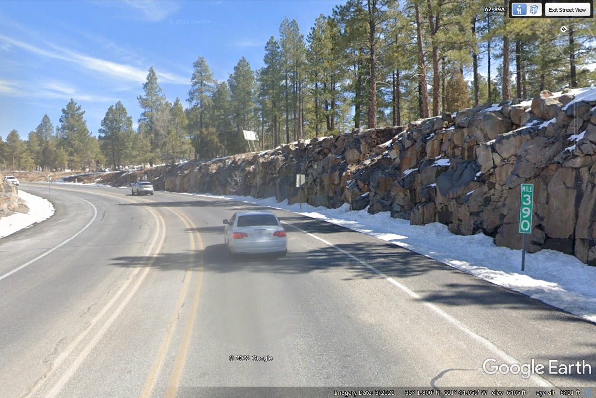
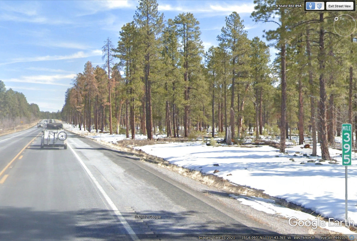
Mile Marker 390 is just before reaching the summit and the side road to
the Scenic View location.
This aerial view shows the final climb up to the plateau going north to Flagstaff, Arizona on
Arizona Route 89A.
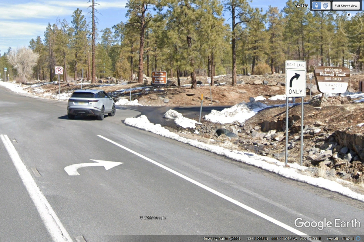
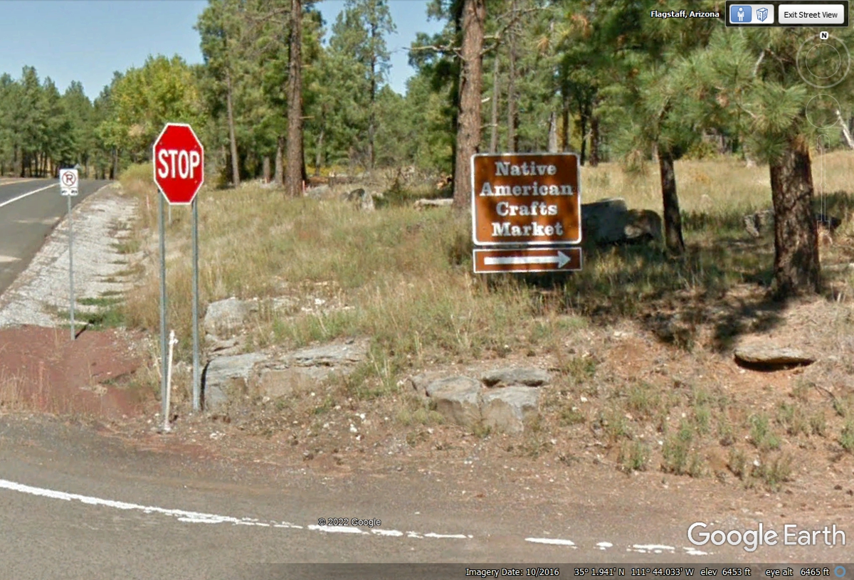
The Forest Service sign says "Coconino National Forest Oak Creek
Viewpoint". When we came here on Sunday, May 29, 2022 - THE GATE WAS
LOCKED.
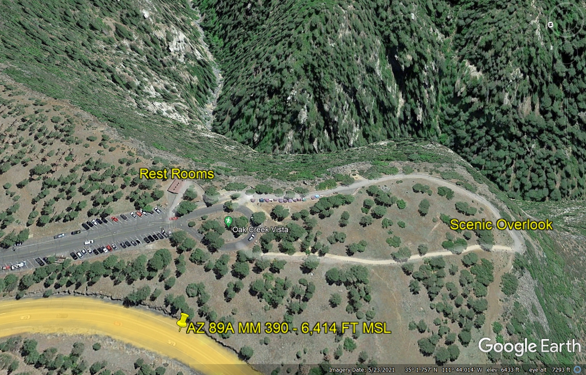
I used Google Earth to show The OAK CREEK VISTA viewpoint area is open from 8 AM to 4 PM local time.
Here is the entry to the parking area for the Scenic Overlook. The rest
rooms are close to the loop at the south end of the parking lot for handicap access.
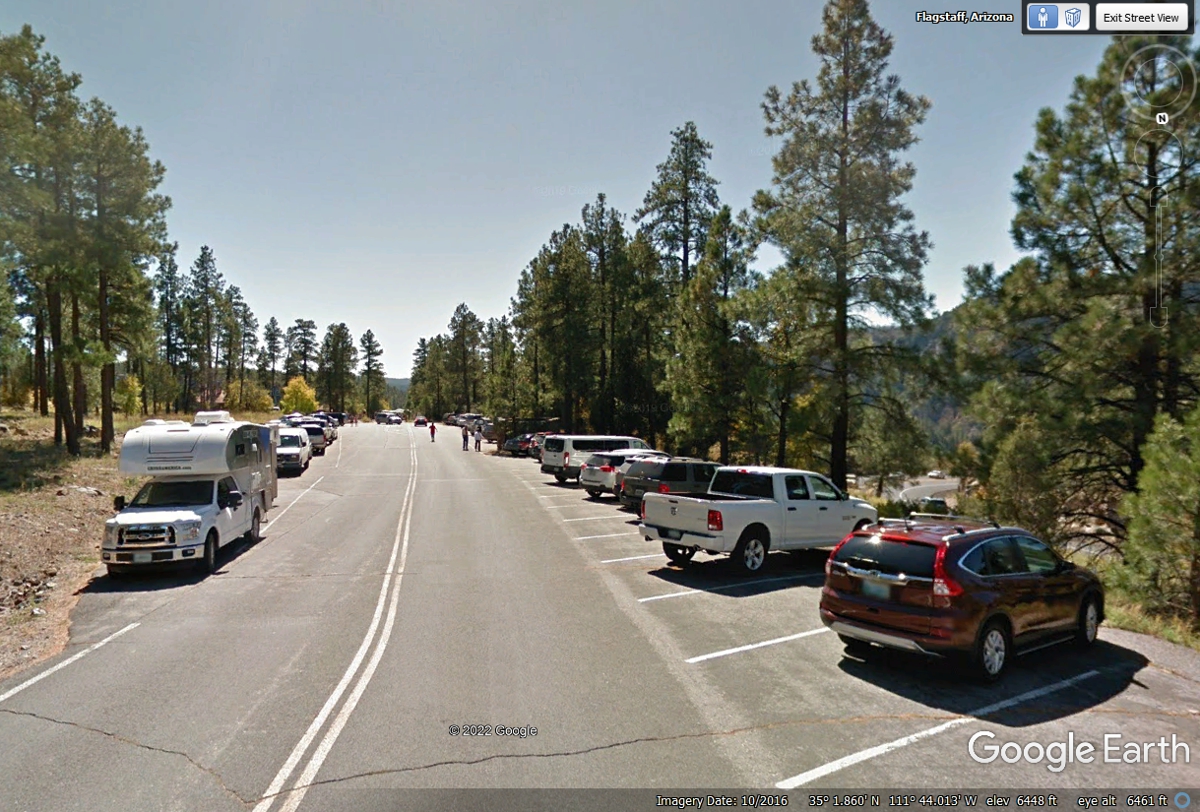
The Scenic Overlook has plenty of parking, a drive through loop for
handicap access, a row of Native American crafts people and walking access to
the wall at the Overlook.
The image below was taken by Thomas Carlyle in October 2016 and is
available from Google Earth. The right side of this image shows AZ route
89A climbing up the mountain side. This image is free of any snow.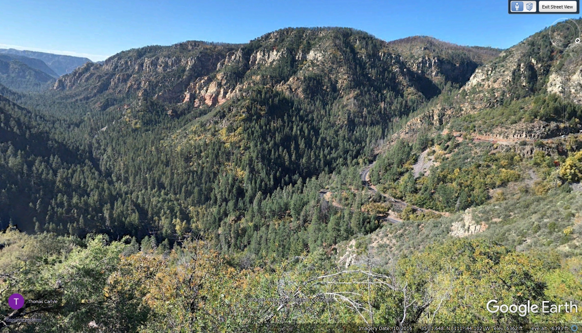
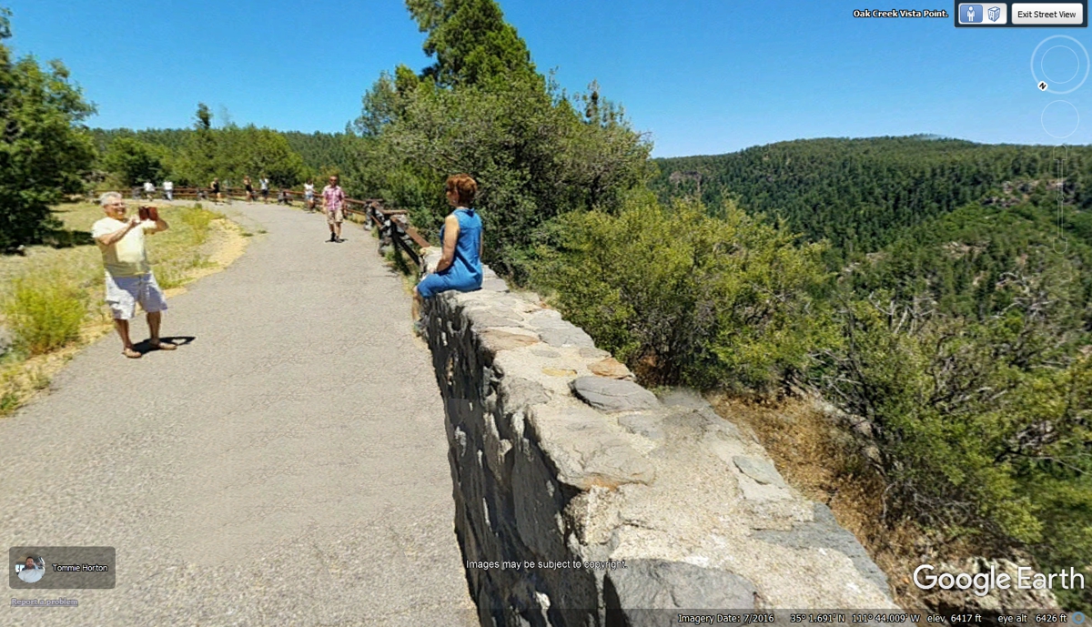
This view was captured by Tommie Horton in July 2016 and posted on Google
Earth.
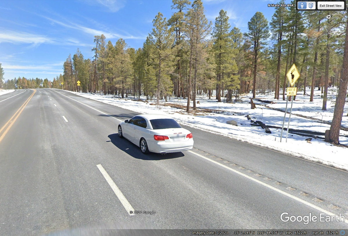
Back on Arizona route 89A going north again, there is a gentle climb to
the road north of the Scenic View rest area. The wildlife warning sign is
for the next 10 miles. The elevation here is 6,522 feet above sea
level. This image is probably from the first part of March 2021. The
remaining snow on the ground is surely from the colder temperature at this
higher altitude. Many of the images posted here north of Sedona had some
snow remnants. The color of the roadway surface is probably from AZ DOT
SALT TRUCKS to keep the road clear of snow and ice.
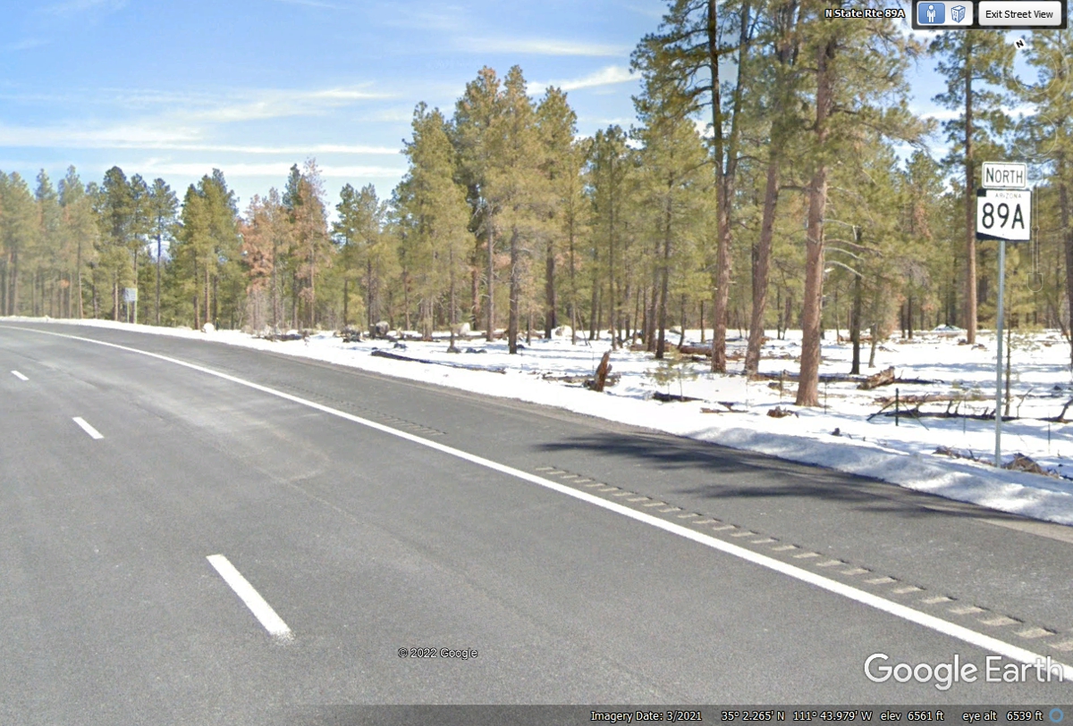
The road is losing the extra lane as it reaches the top of the shallow climb
before heading north and down from here.
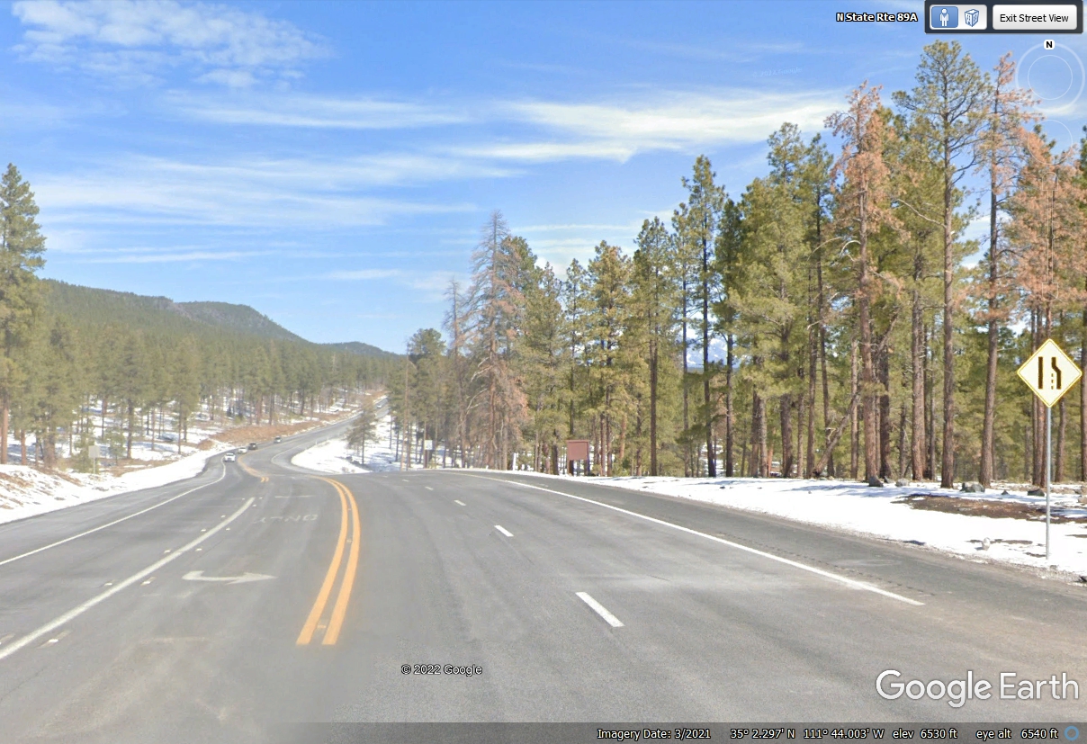
The road is going down for a short distance ahead. Google Earth
indicates 6,530 feet elevation here.
The ground level is getting more constant for a while without too many
dips and rises.
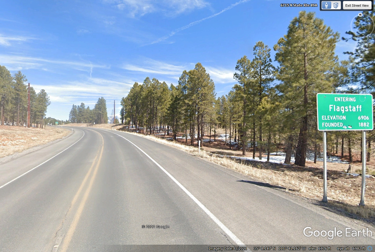
The elevation of Flagstaff is the detail of interest on this city limit
sign. The Google Earth value is different by 70 feet.
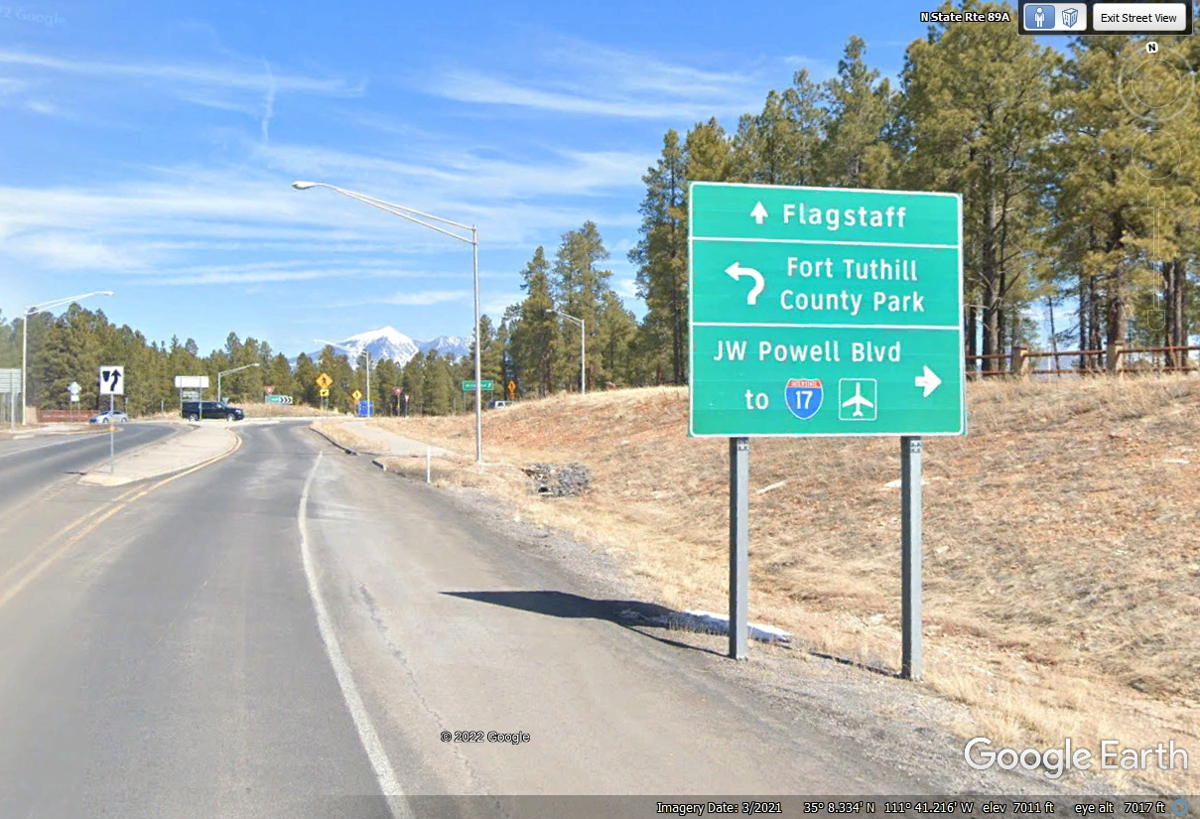
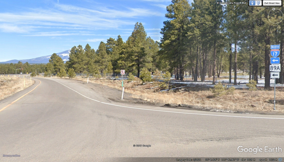
Turn right ahead to get over to I-17 Northbound.
Continue straight ahead through this traffic circle.
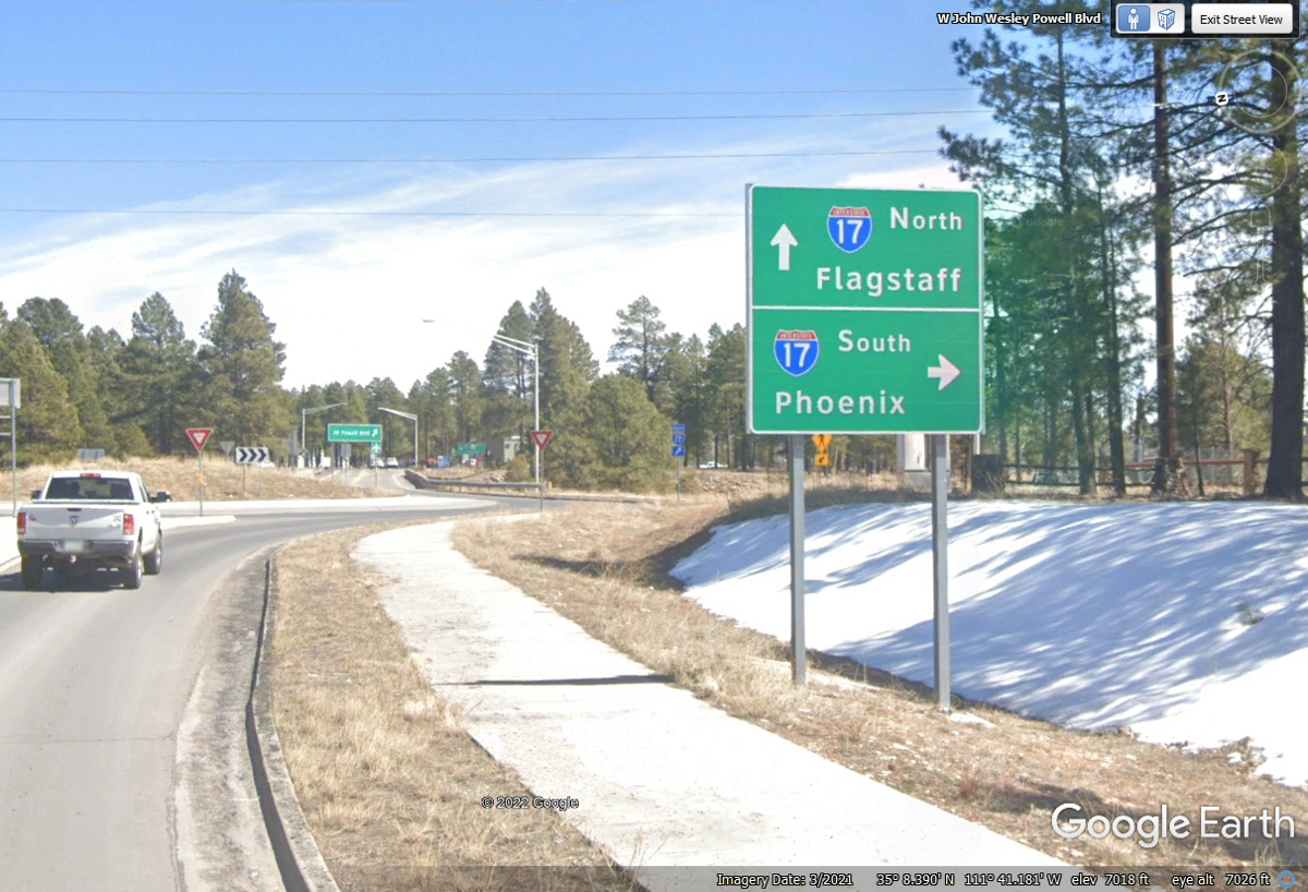
AZ 89A is traveling with I-17 north from this entry ramp at mile marker
337 for I-17.
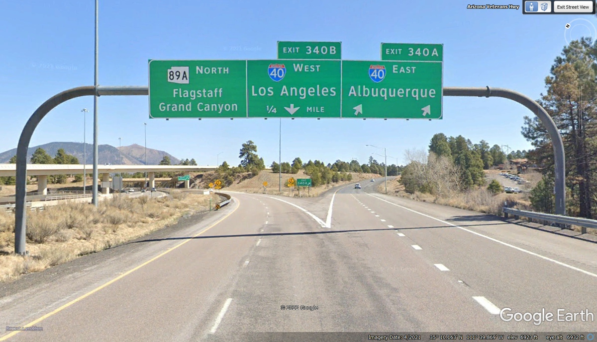
Our motel for tonight is on the next I-40 Exit from this location where
I-17 will end. Exit 340A going East goes toward our motel for tonight.
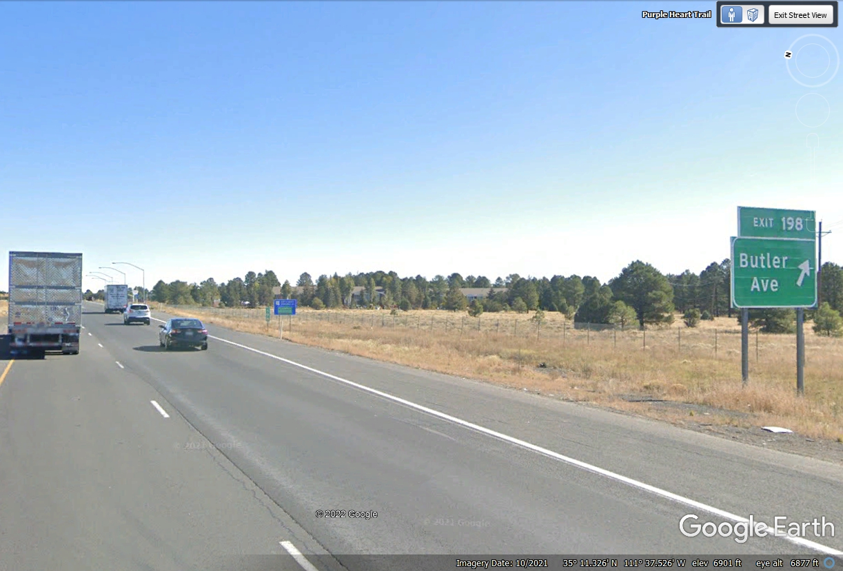
We get off here at Butler Avenue.
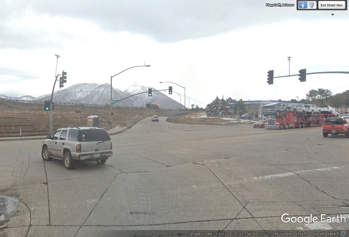
Turn LEFT on Butler Avenue to go under I-40.
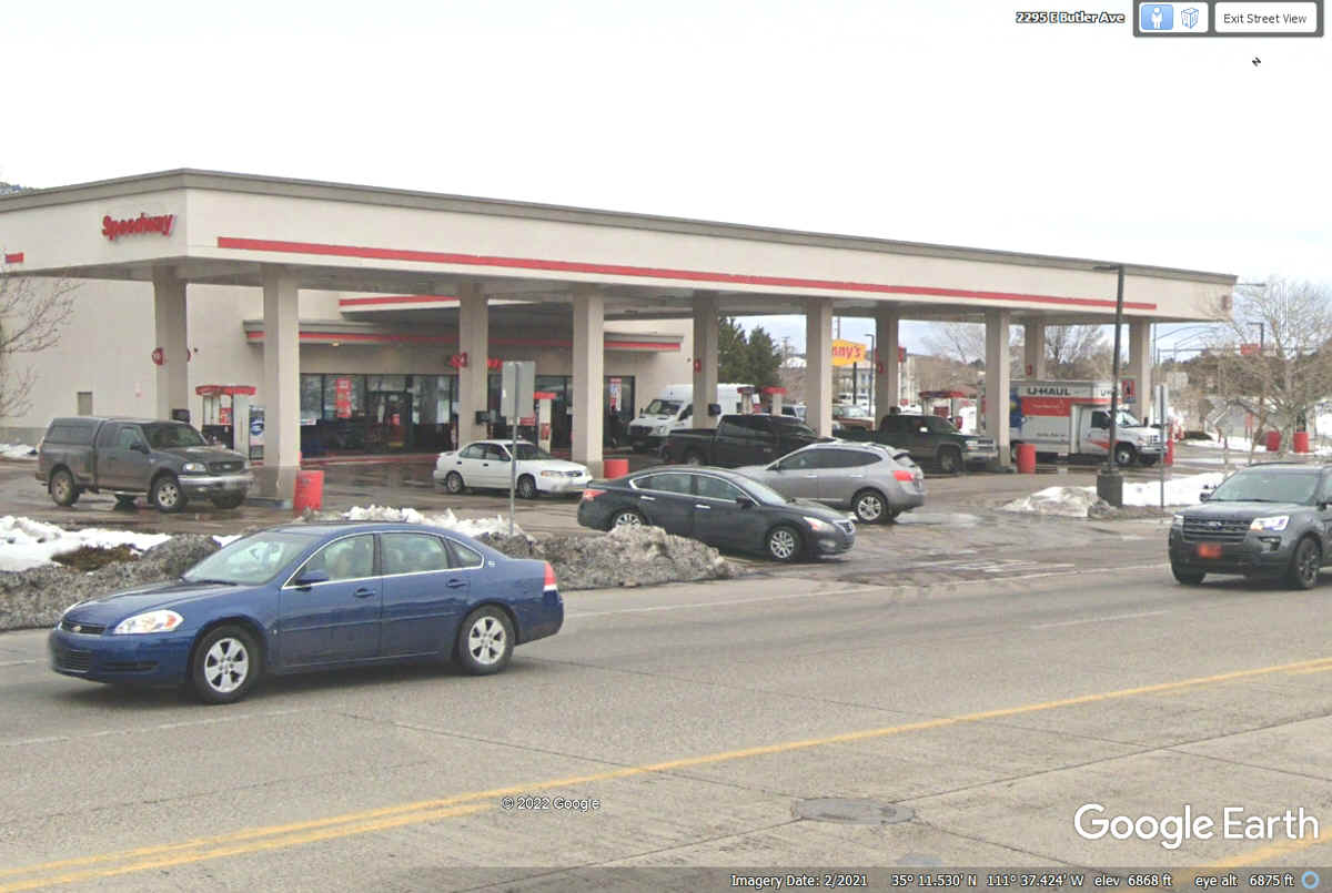
Turn right on to the street behind the Speedway Gas Station to get to the
Ramada Inn. I filled the fuel tank here to be ready to go tomorrow, May
30, 2022.
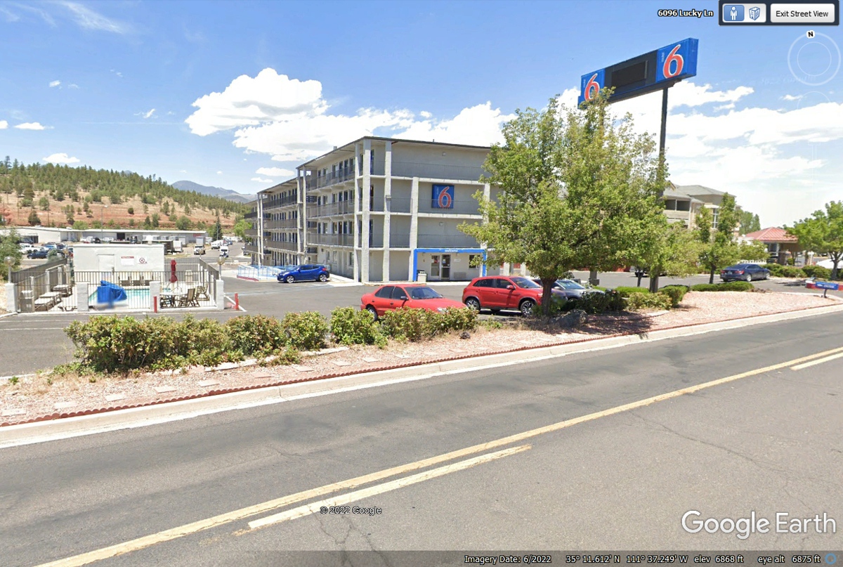
Here is our Flagstaff motel for tonight. It has enough room for us
with one queen bed and some grass in the dog-walk area for Chase.
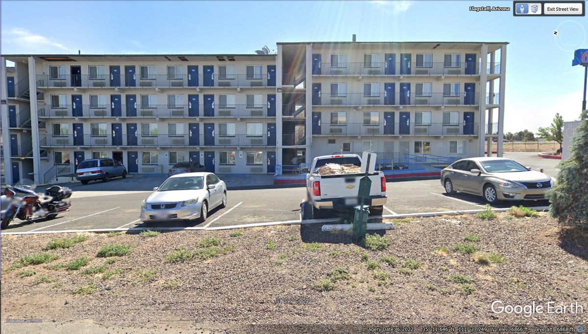
We had a ground floor room on the south side of the
building as seen below. The trash can mounted to the post behind the
pickup truck is the pet area since this motel is pet-friendly.
| ARIZONA and WESTWARD - PAGE17 | RETURN TO WESTERN TOUR INDEX PAGE |