May / June 2022 Vacation Day 7 · · PAGE 13.
May 29, 2022: Our trip out west now
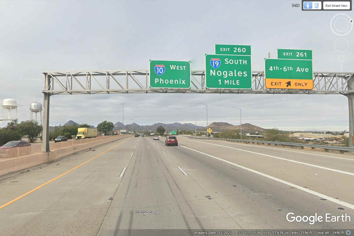
makes a turn to the North in Arizona and points north. I-10 is headed
toward Phoenix as we pass Interstate 19 that begins up ahead going south to
Nogales, Mexico.
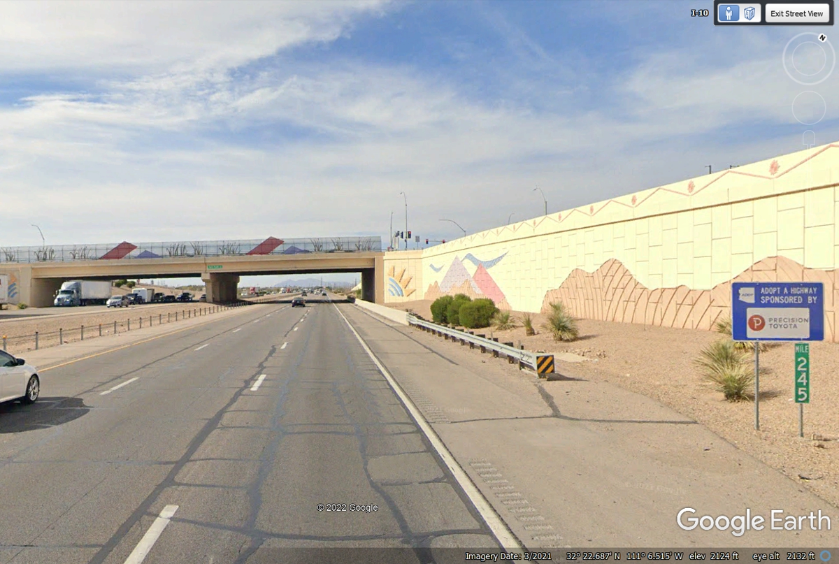
Here we are 22 miles from where we got off I-10 on the south side of the
metropolitan Tucson area. The area beyond this overpass turns into open
country with some irrigated farm fields as we continue north toward the state
capitol of Phoenix, Arizona.
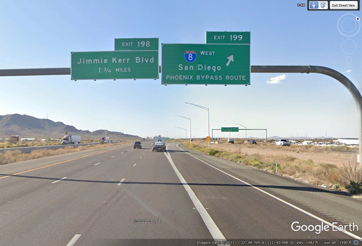
Interstate highway 8 begins the westbound route to San Diego from
Interstate 10 exit 199. We are heading north to Phoenix to our next route
up north.
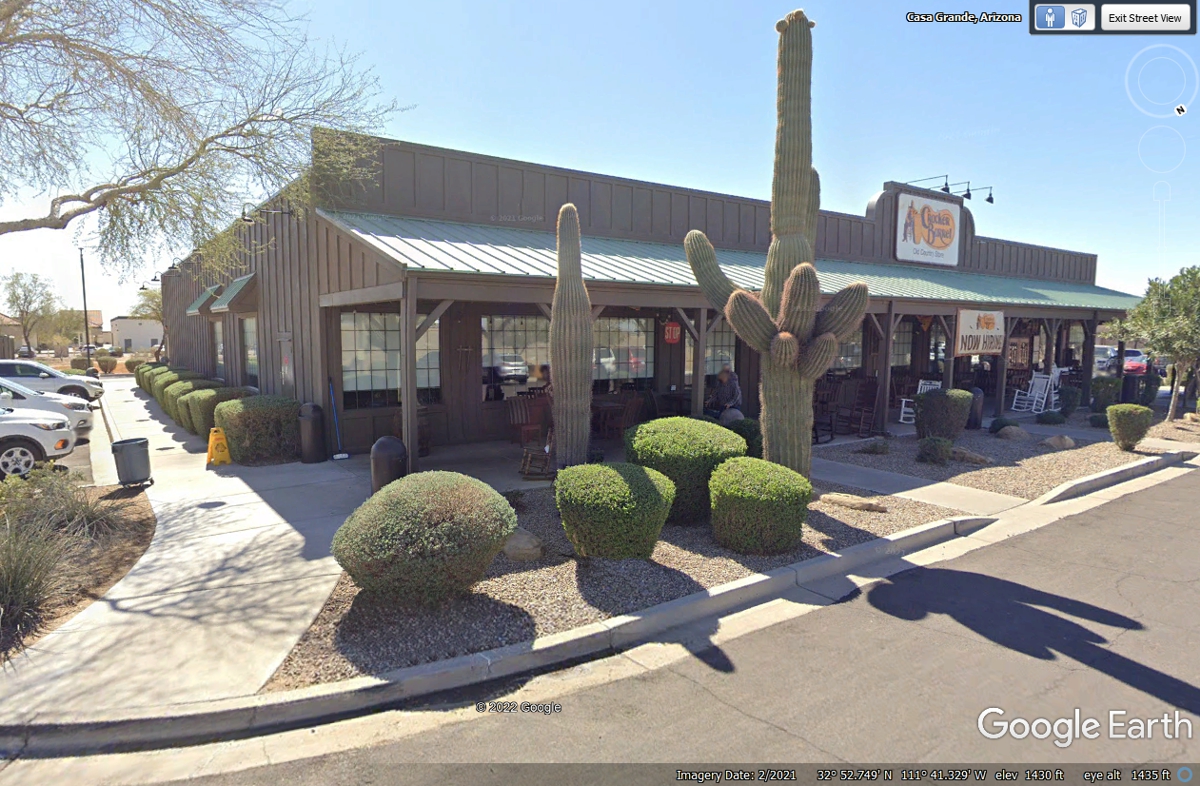
We got off at Exit 194, Arizona 287 and stopped at a Cracker Barrel
restaurant for a rest stop for all of us.
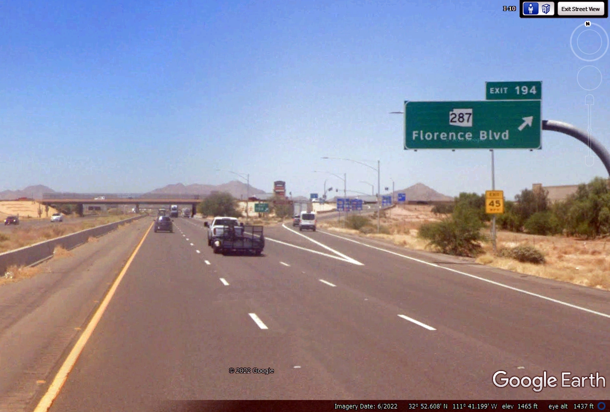
Chase crawled around some bushes to get his relief. Linda and I used
the indoor plumbing for all patrons. These large cactus plants dominate
the landscape here at the Cracker Barrel restaurant at Grande, Arizona.
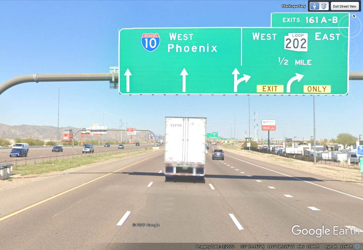
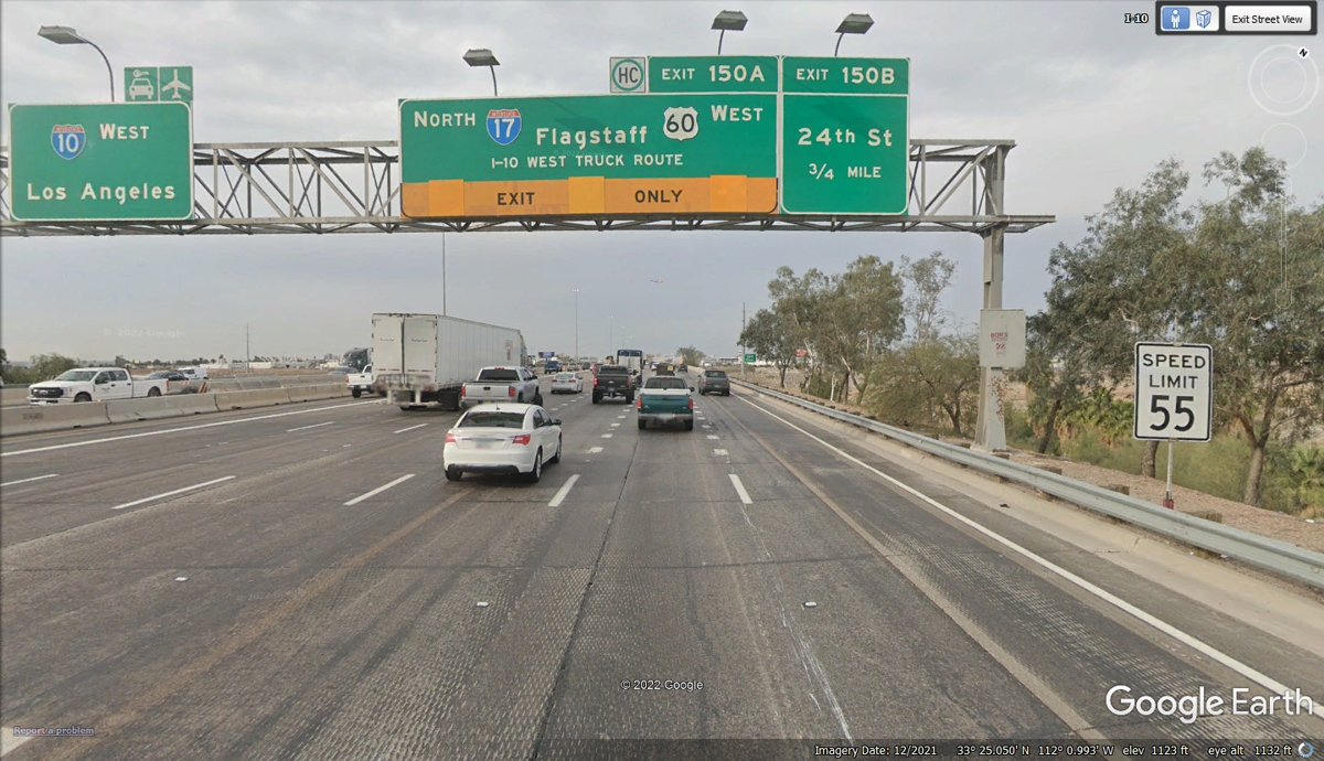
Arizona route 202 is a loop around much of the heart of Phoenix,
Arizona. This exit is an effective boundary between the desert, the city,
and major suburbs. I-10 is approaching the city from the south. I-10
will turn WEST toward California in the Phoenix area.
One of the BIG remaining East/West highways is US 60 that starts at the Atlantic
Ocean in the town of Virginia Beach. At one time, US 60 went all the way
to Los Angeles.. Details about the history of US 60 are found in this
Wikipedia online article: https://en.wikipedia.org/wiki/U.S._Route_60
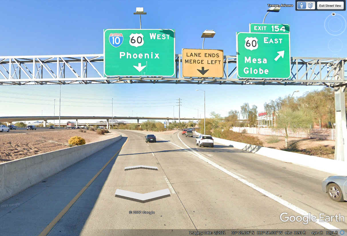
US 60 has joined I-10 to get through the heart of the city of
Phoenix. Sky Harbor is the International Airport in Phoenix.
This is where we leave I-10 to follow I-17 north for much of the remainder
of this travel day.
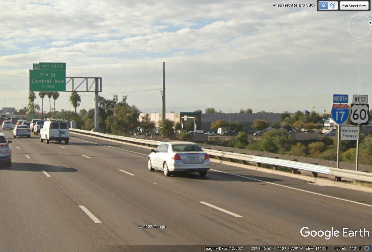
The mile markers going through town change with the route sharing.
Interstate Route 17 is counting UP as we head north. This image is near
mile marker 194 since the next exit one mile ahead from this location is Exit
195B at 7th Street and Central Avenue. Don't confuse these mile markers
with the ones from I-10.
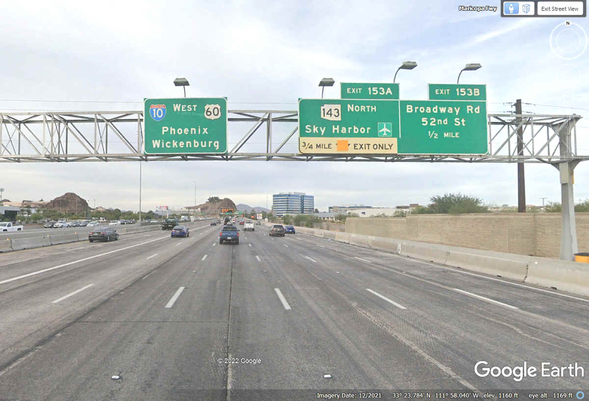
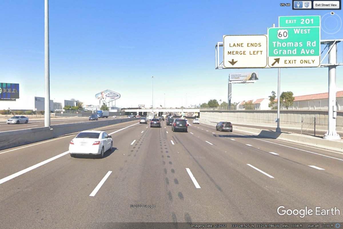
US 60 joined both I-10 and I-17 getting through the heart of Phoenix,
Arizona. This is where US 60 goes toward California to meet up again with
I-10 near the state line. I-17 continues north beyond Exit 201.
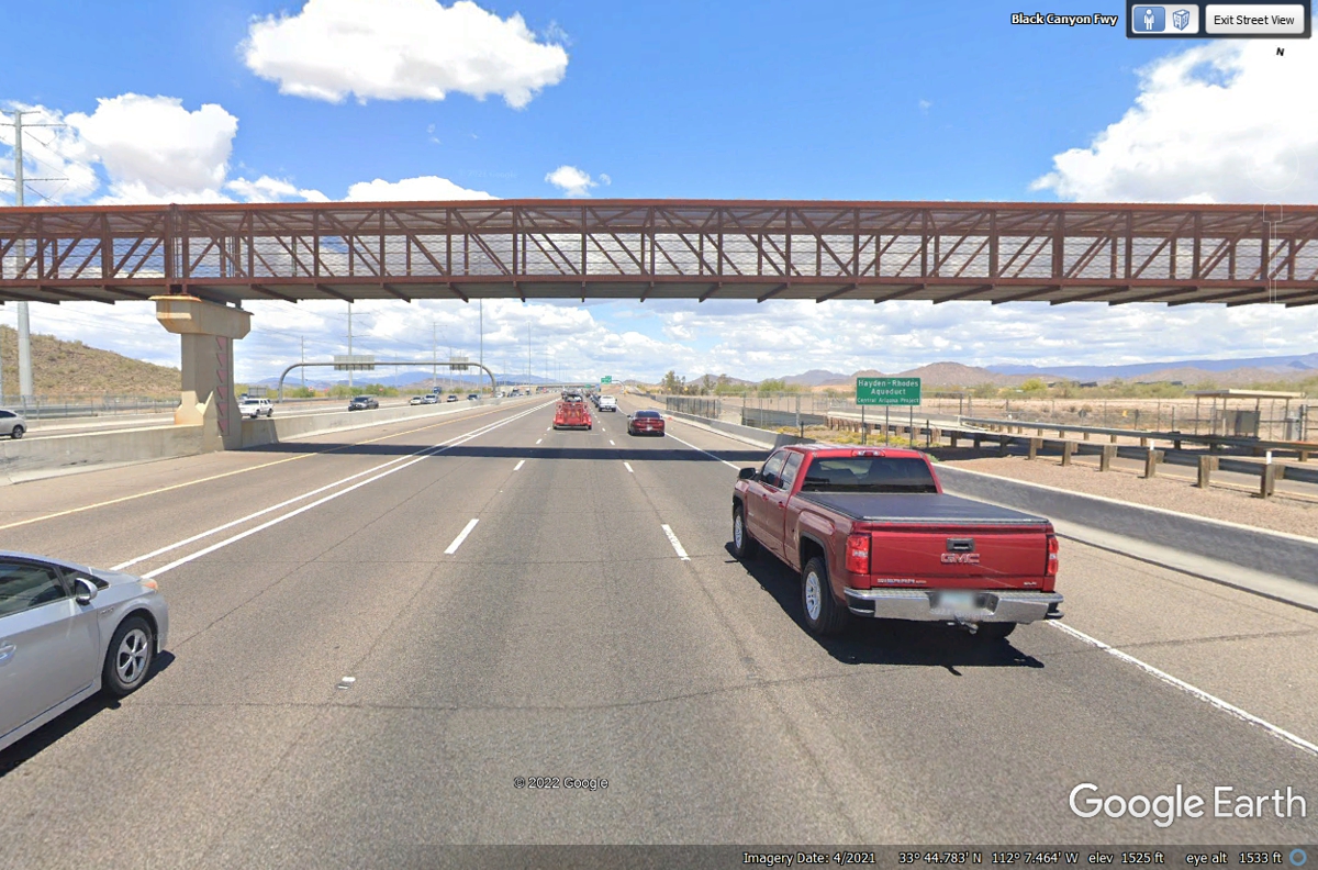
This pedestrian walkway crosses I-17 at the northern edge of the suburbs
where the desert takes over north of here after the large aqueduct just
ahead. The green sign says "Hayden-Rhodes Aqueduct Central Arizona
Project." This place is about 33 miles from the south side of the
Phoenix metropolitan area south side of town.
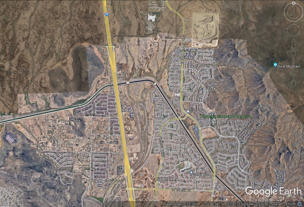
This aerial view shows how abrupt the change from civilization to desert
has occurred.
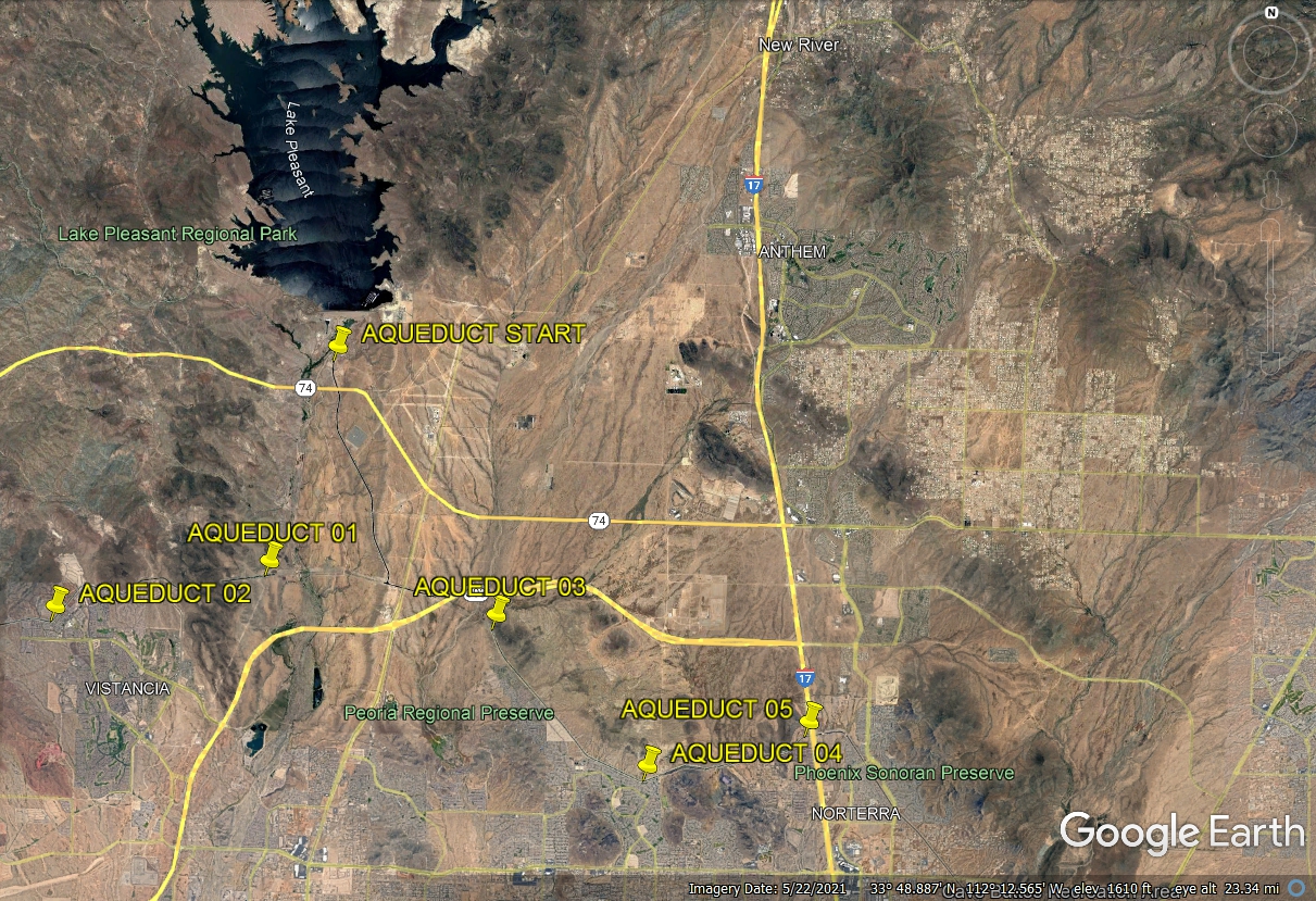
I traced the aqueduct system on the north side of Phoenix to see Lake
Pleasant is a major source of water for the city. I have shown only those
paths close to the city below. Following the paths around and northwest of
the city shows connections to other lakes and the Colorado River at Lake Havasu,
Arizona.
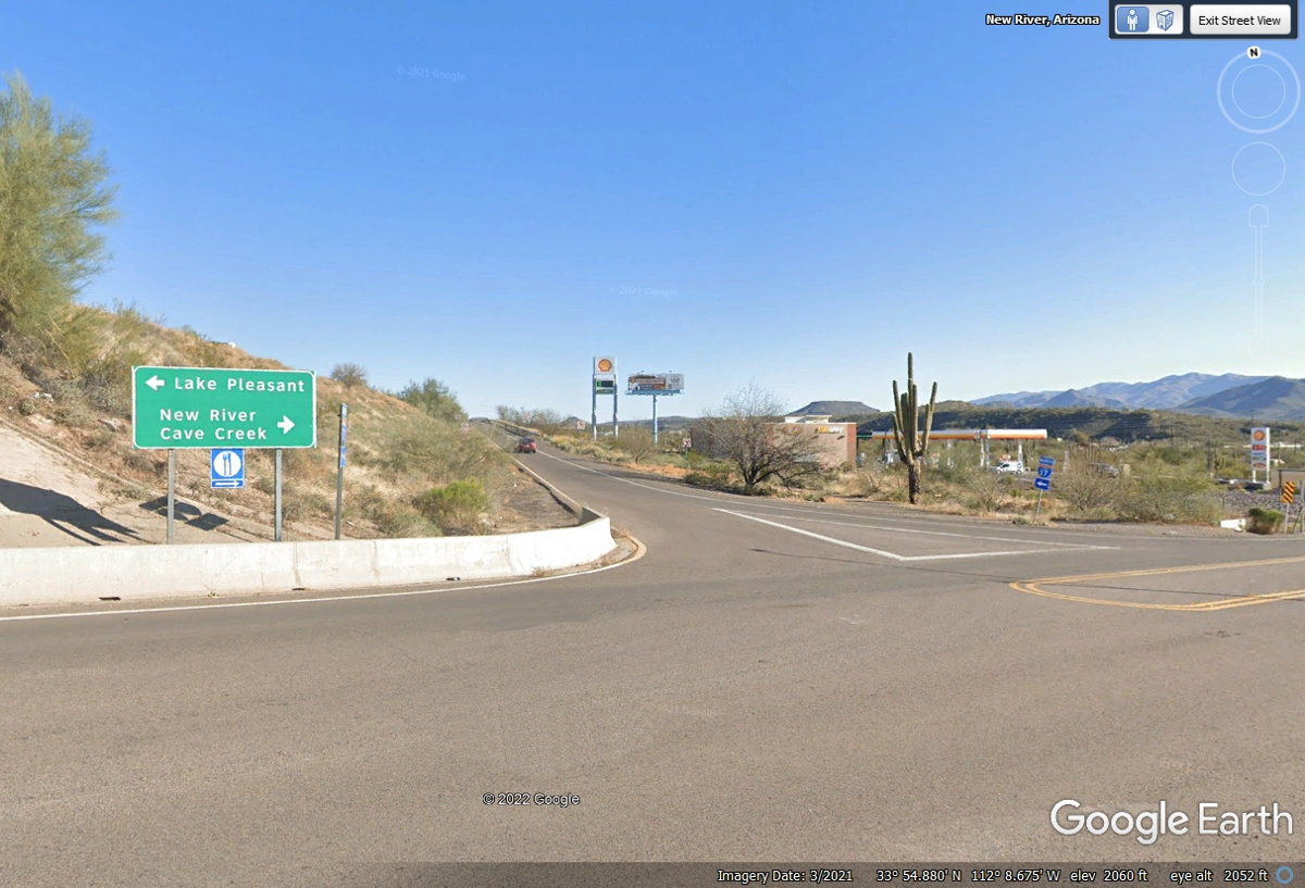
This is I-17 Exit 232 near the communities of New River and Cave
Creek. The New River is East of the highway and will have flowing water
when it rains. This exit is before the northbound and southbound lanes of
I-17 take different somewhat parallel paths ahead.
The tall cactus plants found in Arizona are protected here in the median
right-of-way for Interstate 17. The southbound roadway is over the hill
beyond the left side of this image.
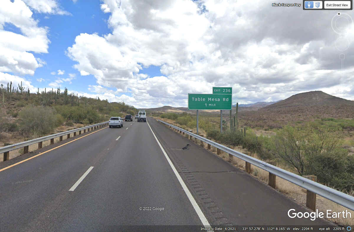
This exit sign gives us the name of the mesa on the right side of this
image. It was also seen in the image above from a different angle.
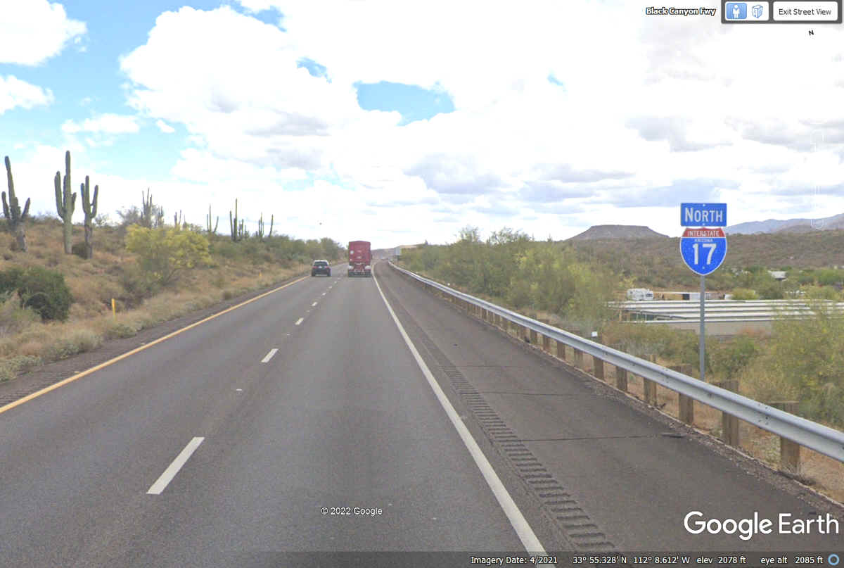
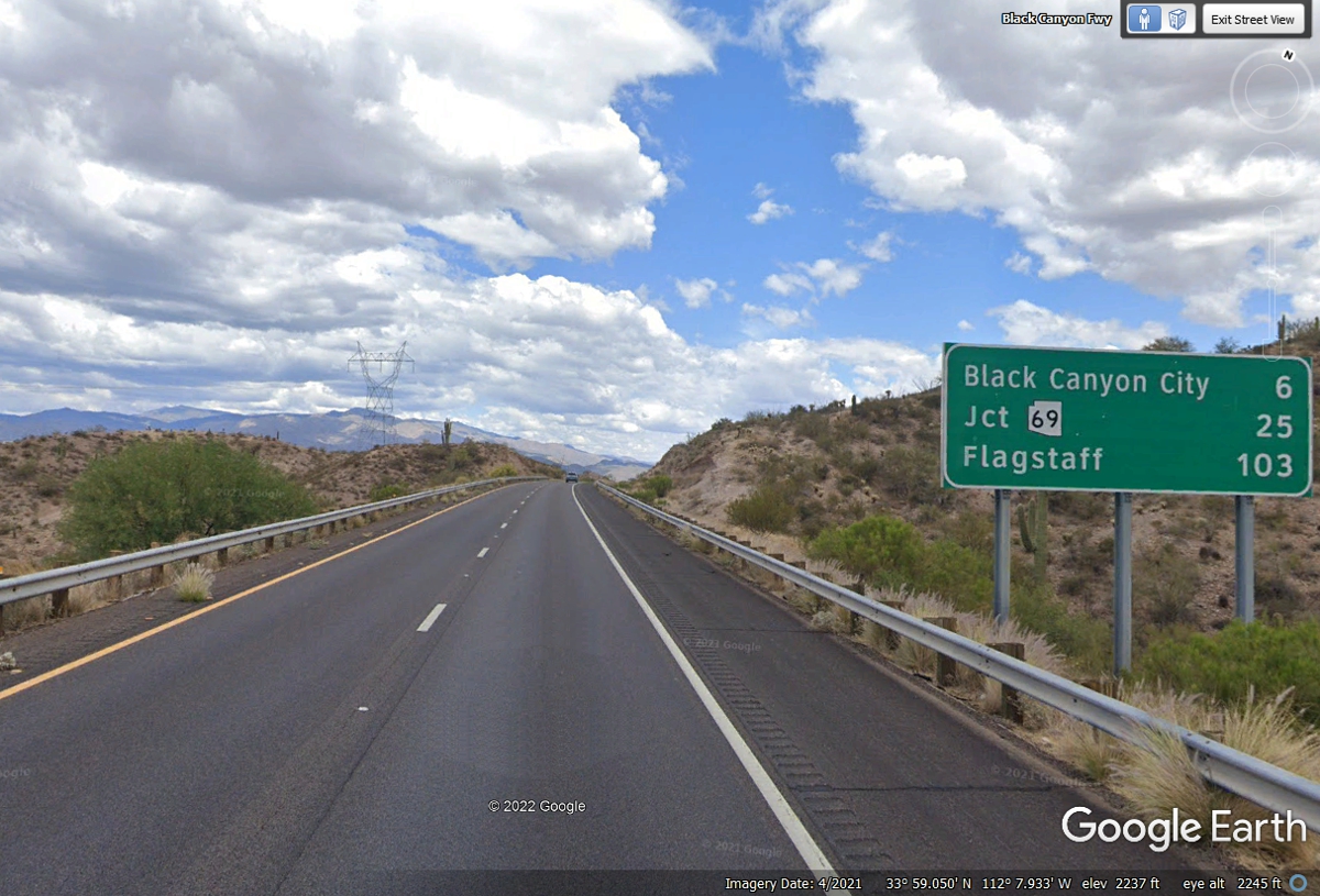
The ground elevation here below the bridge is 2,271 feet above sea
level. This part of the highway is named the Black Canyon Freeway as it
starts down from here going north.
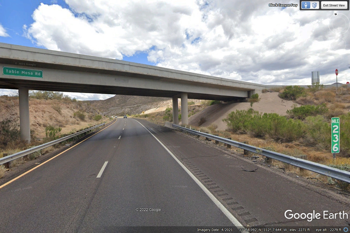
Not too far past the bridge seen in the image above there was a small sign
on the outside of the guard rail allowing bicyclists. They are restricted
to the right shoulder only. I have never seen a sign on any other
interstate highways allowing bicycles. The first YELLOW warning signs
after the bridge are for GUSTY WINDS after the cut through this area of the
highway. 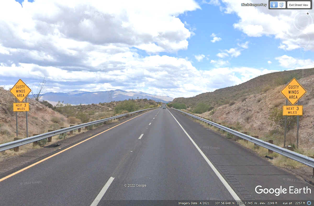
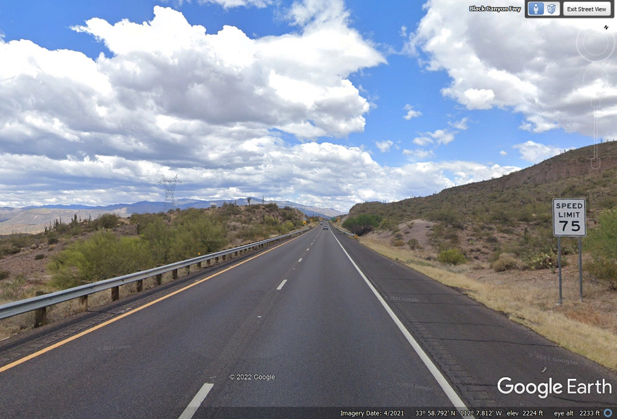
This 75 MPH speed limit sign comes up right after the high wind warning
signs for the next 3 miles.
The very next warning signs are about one mile north from the
bridge. The warning is for a 5% steep grade in the NEXT MILE.
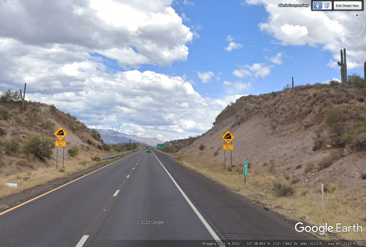
This mileage sign is only two-tenths of a mile past the 5% grade warning
sign.
| ARIZONA and WESTWARD - PAGE14 | RETURN TO WESTERN TOUR INDEX PAGE |